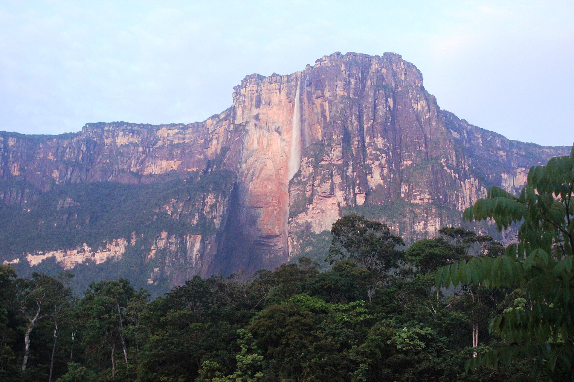
That behaviour explains why photographs of Angel Falls disagree with each other so completely. The fall drops off the rim of Auyantepui, a flat-topped sandstone mountain in the south of Venezuela's Bolivar state, and the column has so far to travel that air resistance and turbulence dismantle it. In heavy flow it lands. In low flow it atomises, swirls, and comes down as a slow white weather system in a bowl of rainforest. In heavy flow it lands; in low flow it does not; both are normal for the place.
The numbers behind it were fixed not by a survey department but by a reporter. In 1949 the American journalist Ruth Robertson led an expedition that National Geographic had declined to back, agreeing only to look at her account if she succeeded. Hers became the first party to reach the foot of the falls, and on 13 May 1949 her team recorded the measurement that still stands: a total descent of 979 metres, containing a single uninterrupted plunge of 807 metres, with the remainder made up of sloped cascade, rapids and a short final drop downstream.
The single drop alone is roughly fifteen times the height of Niagara. It is also the source of most of the confusion in circulation, because sources quote the 807 and the 979 interchangeably, or round either to a third figure. Both numbers are correct, and they measure different things. The 807 metre uninterrupted drop is undisputed, while the claim to be the highest waterfall on total height has been challenged by a 2016 survey of Tugela Falls in South Africa, taken more than a kilometre from the base and contested since.
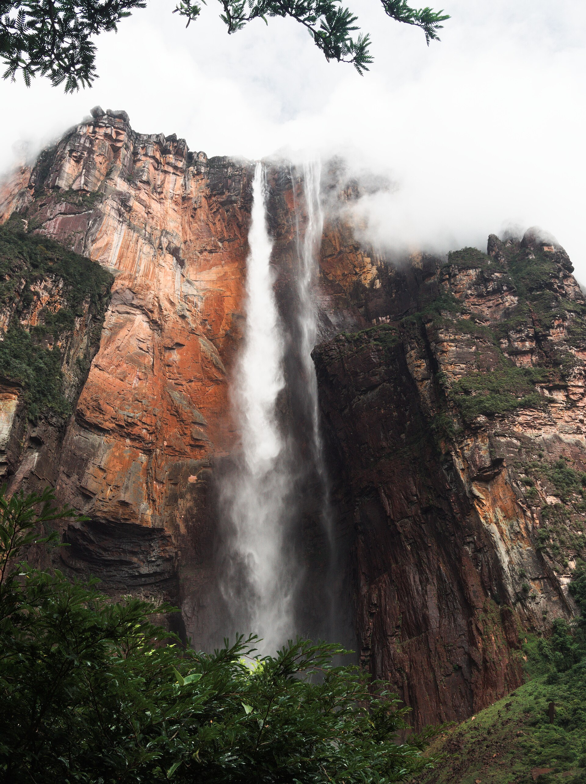
The name attached to it belongs to a man who was not believed. James Crawford Angel, an American bush pilot known as Jimmie, wrote in his logbook on 16 November 1933 that he had "found myself a waterfall" while flying over the tepui. He was prospecting, and he already had a reputation for stories: his account of a river of gold discovered with a partner named McCracken has been treated as unverifiable by his own family, and read plainly it looks like the sort of thing that raises money from investors. The waterfall, unlike the gold, was real.
In October 1937 he went back to prove it and made the mistake that fixed his name to the place. On 9 October he landed his Flamingo monoplane, El Rio Caroni, on the boggy summit of Auyantepui, carrying his wife Marie, the Venezuelan explorer Gustavo Heny and Heny's companion Miguel Delgado. The wheels broke through the sod, the plane nosed into the mud, and it was not going to fly again.
The party walked down off the mountain and out through the forest over eleven days. The aircraft stayed where it was for thirty-three years. Venezuela declared it a national monument in 1964, the air force lifted it off by helicopter in 1970, and a partly restored aircraft, built around many of the original components, now stands outside the terminal at Ciudad Bolivar airport, which is the town most expeditions to the falls have historically staged from.
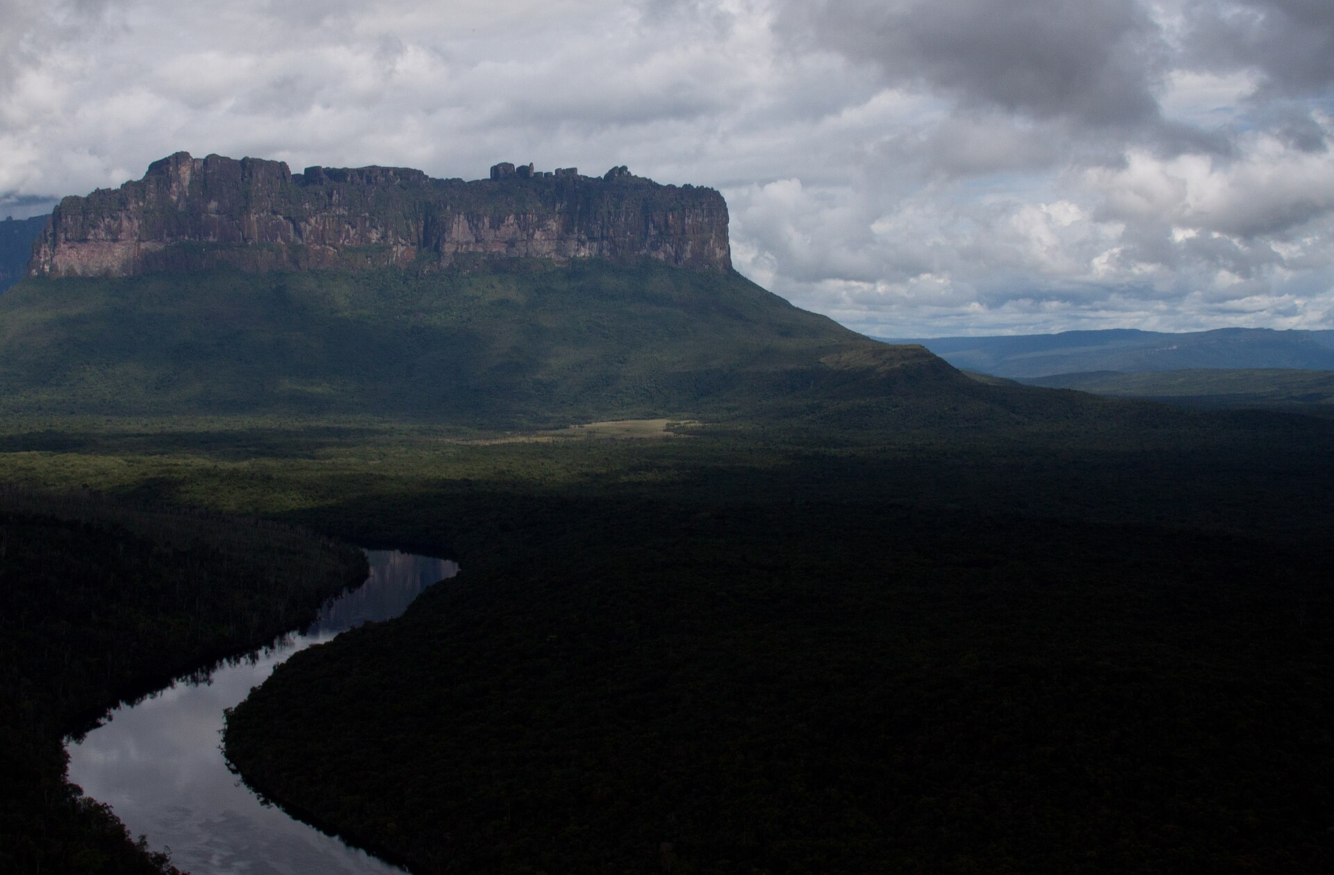
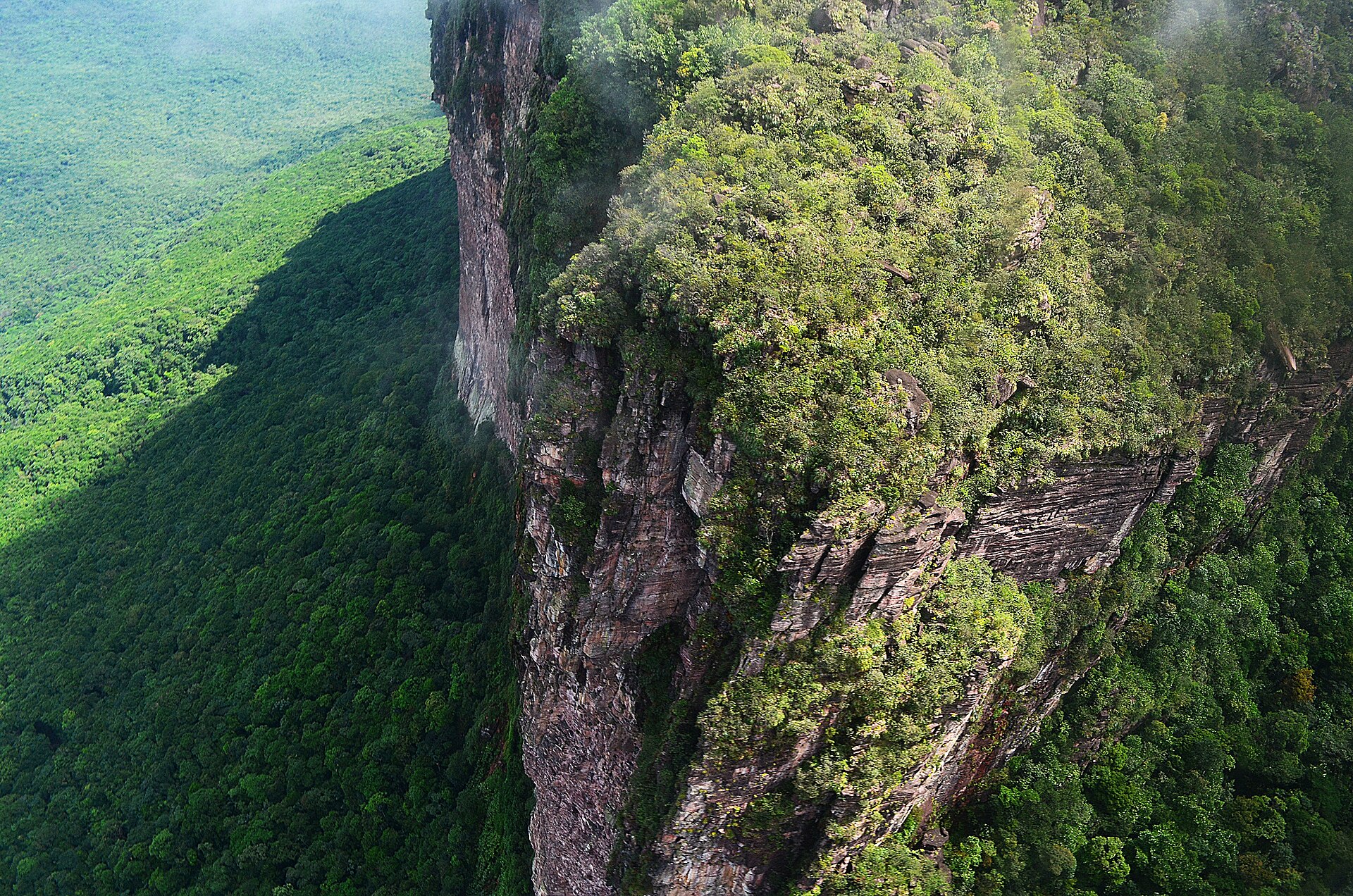
The older name is Kerepakupai Meru, also written Kerepakupai Vena, which the Pemon, a Carib-language people who hold the tepuis as the homes of the Mawari spirits, translate roughly as the waterfall of the deepest place. In 2009 President Hugo Chavez pressed the case for using it, on the reasonable ground that the falls had been there long before Jimmie Angel arrived, then stopped short of any formal decree and said he had only meant to defend the Pemon name. No official rename took hold. The world still says Angel Falls, and the older name remains the more accurate description of what the place is.
The drop is long enough that the river arrives at its own base as weather.
What it falls off is among the oldest exposed sedimentary rock on the planet. The tepuis of the Guiana Shield are built of quartz-sandstone of the Roraima Supergroup, laid down on the order of 1.8 to 1.9 billion years ago, with zircon dating placing the sequence between roughly 1,885 and 1,870 million years. Their shape is the product of differential erosion: a hard quartzite caprock survives while the softer rock around it is carried away, leaving sheer-walled islands standing over the plain.
Because those summits have been isolated for so long, what lives on them evolved apart. Auyantepui's tabletop alone carries a documented fauna of around two dozen amphibian and reptile species, and new microendemic frogs are still being described from single tepui tops, some known from one mountain and nowhere else. Biologists call the whole system Pantepui and treat it as one of the great natural experiments in isolation.
The falls sit inside Canaima National Park, roughly 30,000 square kilometres of Bolivar state, about the size of Belgium, of which some 65 percent is tepui. It was inscribed as a UNESCO World Heritage Site in 1994 under all four natural criteria, which very few places manage. The lagoon at Canaima, the roadless Pemon settlement that serves as the trailhead, has its own curtain of falls, and those are what most visitors actually stand next to: Salto El Hacha and its neighbours drop into the lagoon in a broad brown-white wall that throws a rainbow whenever the sun is behind the spray.
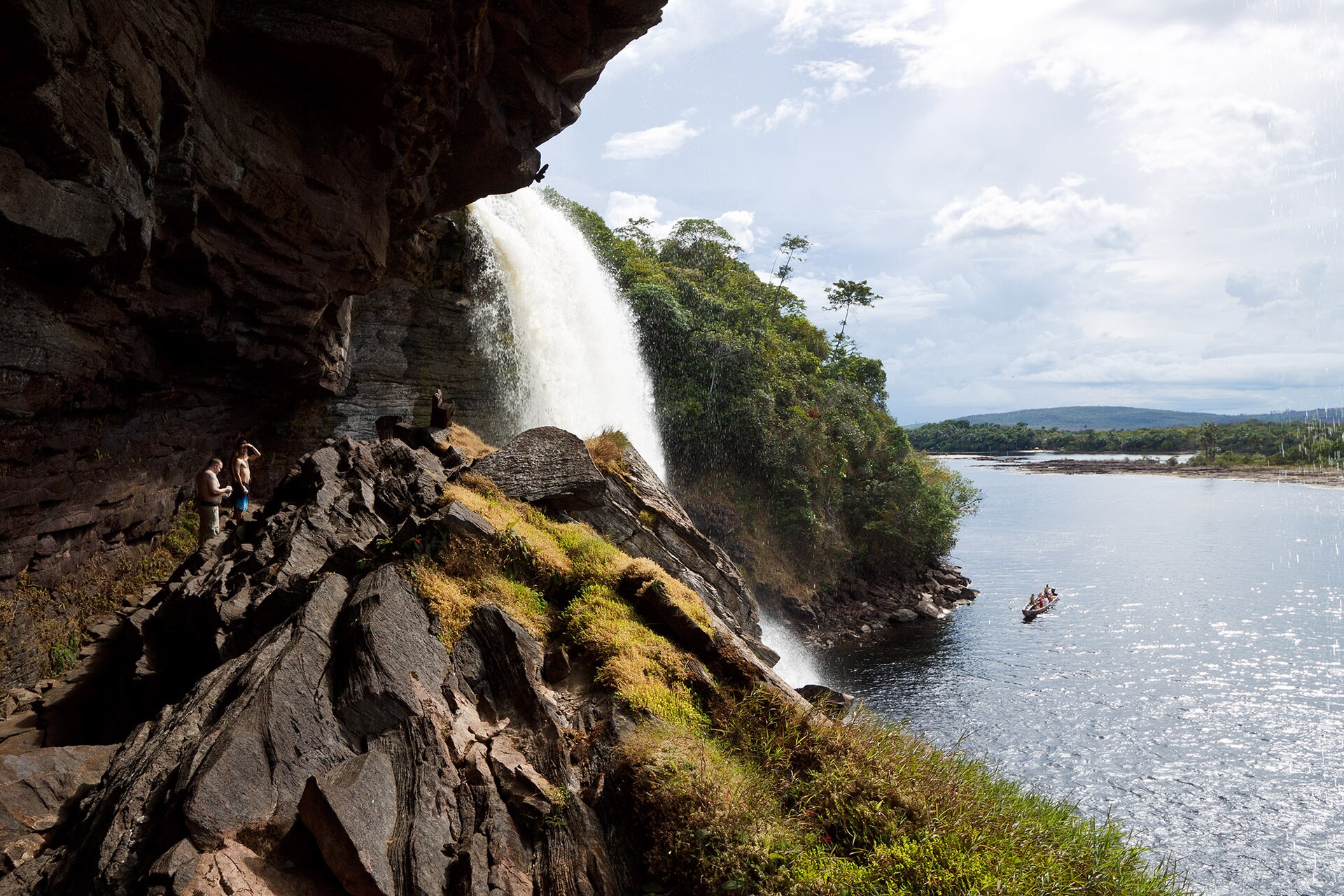
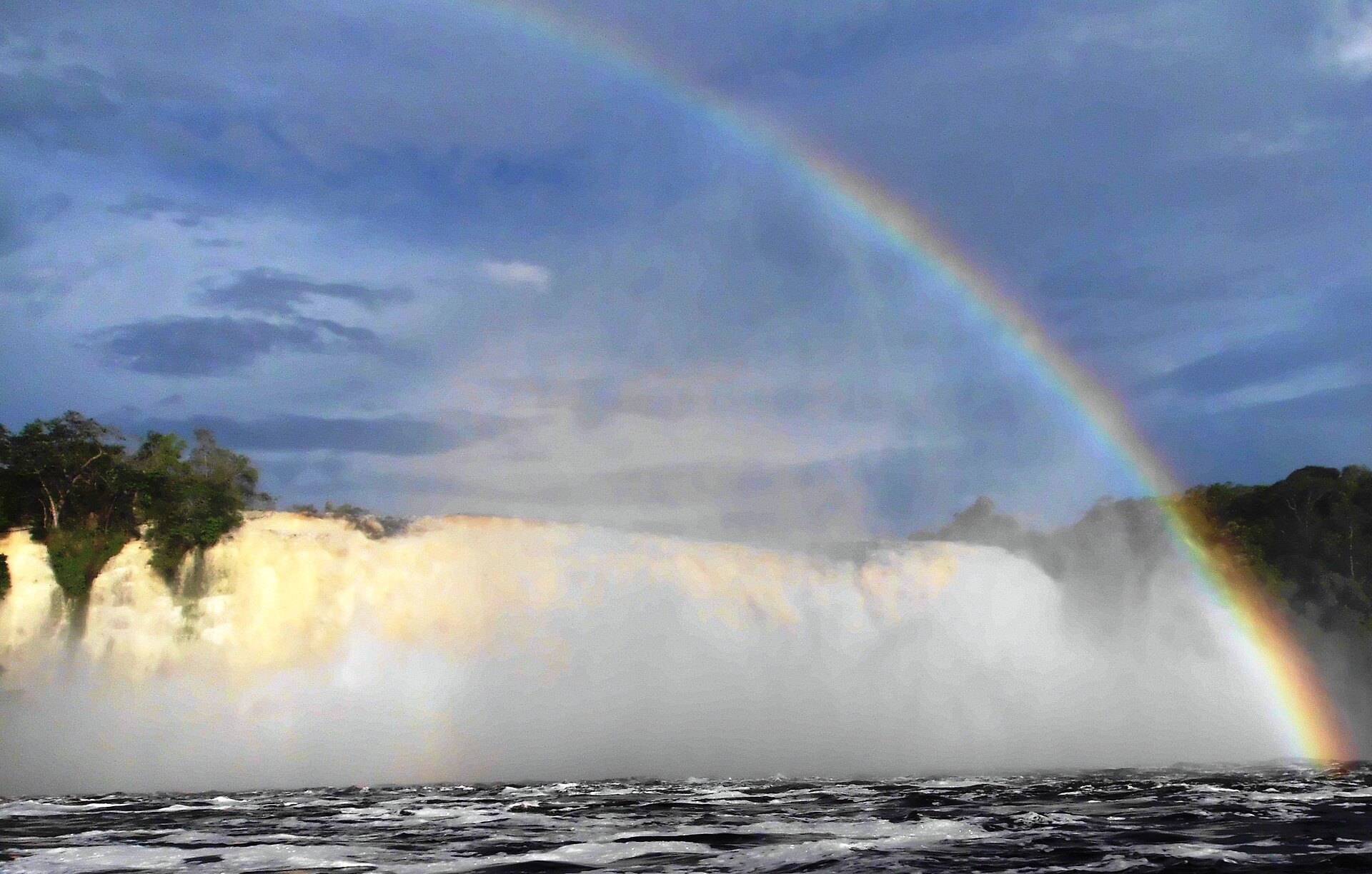
The park's protection is not holding evenly. Illegal gold mining has pushed inside the boundary, tied to the Orinoco Mining Arc, a zone of nearly 112,000 square kilometres decreed by the Maduro government in February 2016 and since associated with deforestation, mercury pollution and armed violence across Bolivar. Documentation cited by international bodies has counted dozens of illegal mines within Canaima itself, one Canadian Embassy tally putting the figure at no fewer than 59, with some workings reported around 23 kilometres from Angel Falls, and mercury contamination measured in indigenous communities elsewhere in the mining zone. No workings have reached the falls themselves, but the damage is accumulating across the watershed they drain, and the IUCN moved the site to significant concern in 2017.
Two things stand between a reader and this waterfall, and they are different in kind. The first is an earthquake. On 24 June 2026 a pair of shocks of magnitude 7.2 and 7.5 struck Yaracuy state, west of Caracas, killing more than 5,500 people and injuring some 16,700. La Guaira lost around 80 percent of its buildings, and Maiquetia, the international airport serving Caracas, was heavily damaged and its commercial flights stopped. Bolivar state, a long way southeast, was barely touched, and Canaima and the falls are undamaged. What broke is the way in. The second is the standing security guidance. The US State Department holds Venezuela at Level 3, Reconsider Travel, reissued on 27 June 2026 to take account of the earthquake's damage to transport and emergency services, and it continues to say do not travel to rural areas of Bolivar state, which is where Canaima is, citing crime and kidnapping; the embassy in Caracas offers emergency services only, and little of that outside the capital. The UK FCDO advises against all travel to the Orinoco Mining Arc municipalities in the north of Bolivar, and against all but essential travel to the rest of the country, which is the tier Canaima falls under. Travelling against your government's advice usually voids travel insurance. This dispatch is reference, not a plan.
Reaching the falls worked like this, when it worked, and this is why it does not at the moment. There is no road to Canaima, so the only way in has always been a small aircraft.
Flights ran historically out of Ciudad Bolivar on small operators, and by early 2026 the practical route was Caracas to Canaima on Conviasa, roughly twice a week, on seats that could not be booked online and were bought in person and in cash, with lodge intermediaries blocking availability in the busy months. Since the June earthquake closed Maiquetia to commercial traffic that route has not been running, and the international services that have resumed are landing at Valencia rather than Caracas. Cancellations for weather and fuel were routine even before that. Reaching Canaima was always the uncertain part of this trip, and it is currently the impossible one.
From Canaima the journey is by water. A motorised curiara, the Pemon dugout, runs five to six hours each way up the Carrao and into the Churun toward Devil's Canyon, usually broken by a stop or an overnight, and passengers get thoroughly wet; in high water, sections of rapids mean getting out and walking around them.
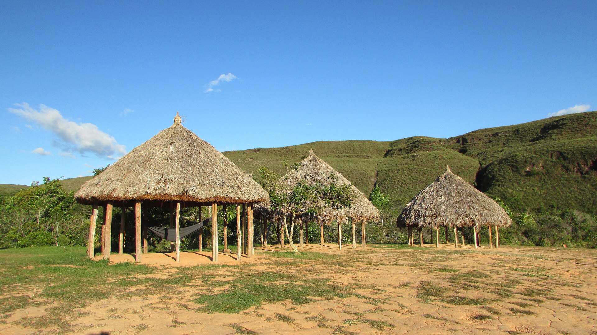
Nights are spent in open-sided hammock camps, the best of them looking straight across the valley at the falls. From the river landing it is a climb of thirty minutes to an hour, over big slick tree roots in gallery forest, up to the Mirador Laime overlook near the base, with a pool to swim in when the water allows. Round trips of about two and a half hours from the boat are commonly reported, over roots that traffic has worn wet and polished, so boots matter more here than the distance suggests.
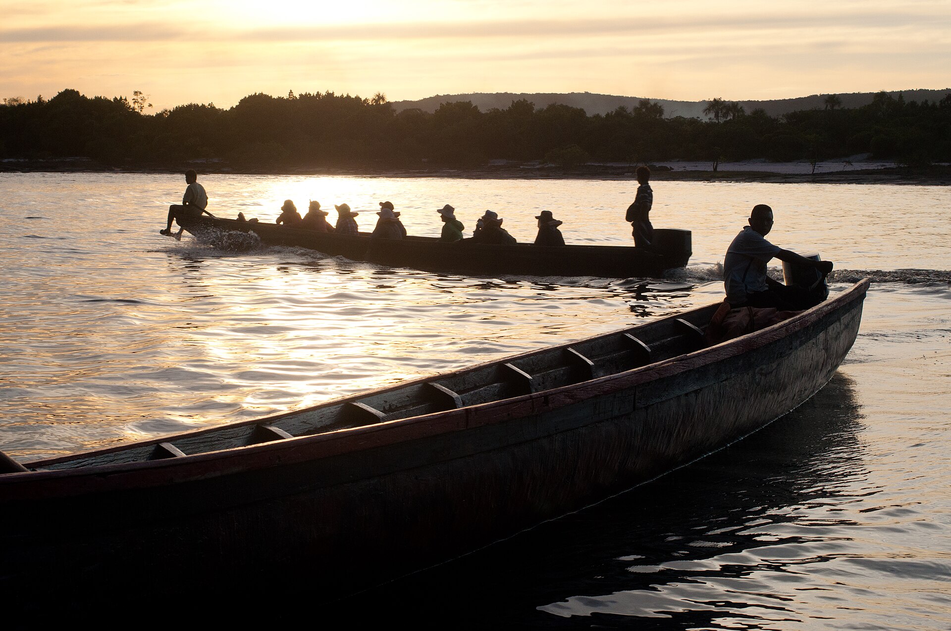
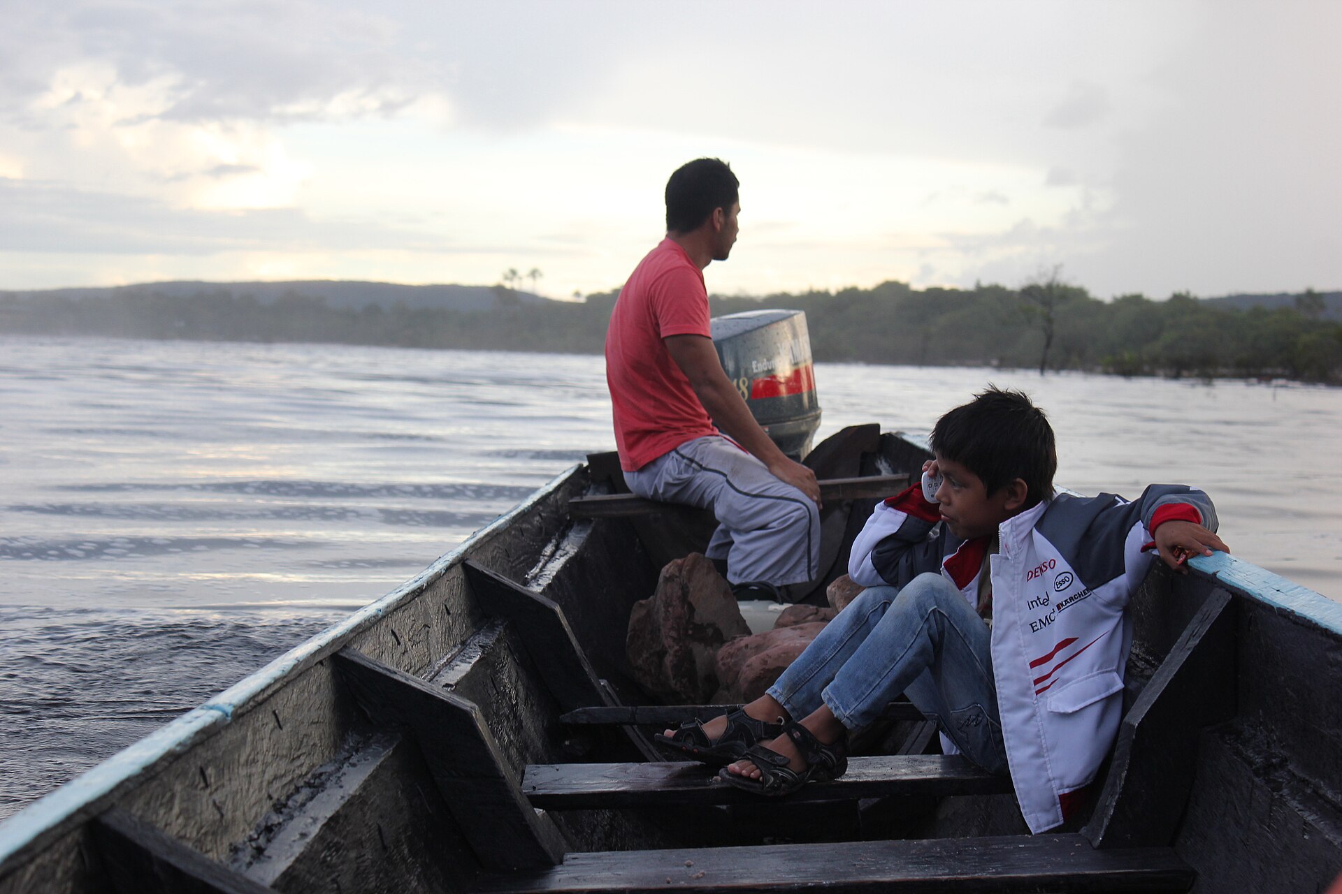
The season is a genuine dilemma rather than a preference, and both answers cost something. The rains, roughly June to November, put the falls at full volume, but low cloud sits on the tepui and hides the top of the drop for days at a time, and it is also when flights and river conditions are least dependable.
The dry months, roughly December to April or May, buy clear skies, better flying and a visible summit, but the water thins toward a ribbon and drifts away as mist, and by the end of the dry season the rivers can be too low for the canoes to run at all, so boats may not leave or the last stretch is walked. December to April buys the view and thins the water; June to November buys the water and hides the top of the drop.
The economy on the ground runs on United States dollars in cash, because international cards and ATMs are effectively useless; park entry is charged separately and paid the same way. A yellow fever vaccination is expected. Independent camping around the falls is not allowed, so everything is arranged through Pemon families and lodge operators, and guides mostly work in Spanish. Expect trips to be sold as all-inclusive packages, since imported goods and alcohol are expensive once you are out there.
The falls keep their own arithmetic regardless of any of this. The Churun rises on a tabletop of sandstone laid down before anything on Earth had a spine, runs to the edge of it, and goes over into 807 metres of air. The Pemon named that drop Kerepakupai Meru long before a pilot's logbook entry gave it another name, and a journalist fixed its height in May 1949 with figures that have held ever since. What has changed in the last month is a runway near Caracas and the ledger of a country's dead. Ciudad Bolivar, where Jimmie Angel's aircraft stands outside the terminal, is still the town any future trip will stage from.