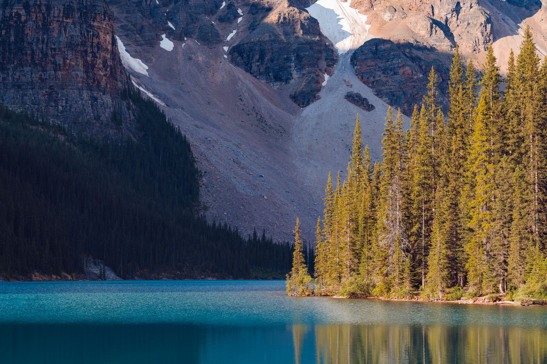
In the autumn of 1883, Frank McCabe and the brothers William and Thomas McCardell, working on the Canadian Pacific Railway line through the Bow Valley, found a vent in the hillside with warm air coming out of it, lowered a felled tree in as a ladder and climbed down into a cave holding a sulphurous hot pool. What followed was not a nature reserve but a property dispute: several parties claimed the springs, and in 1885 an Order in Council resolved it by handing ownership to the Crown and creating a Hot Springs Reserve of about 26 square kilometres. Two years later the protected area was enlarged and named Rocky Mountains Park. It is Canada's first national park, and the third in the world behind Yellowstone in 1872 and Australia's Royal National Park in 1879.
The commercial logic was never hidden. The railway needed passengers on a line that crossed a great deal of empty country, and the line attributed to CPR's William Van Horne, that if the company could not export the scenery it would import the tourists, describes the business plan exactly. The Banff Springs Hotel opened in 1888 and the Chateau at Lake Louise followed, both built by the railway, both positioned so that the view arrived with the room. The park's founding purpose was to give those hotels something to be near. Every conservation argument made about Banff since has been made inside a place that was designed as a product.
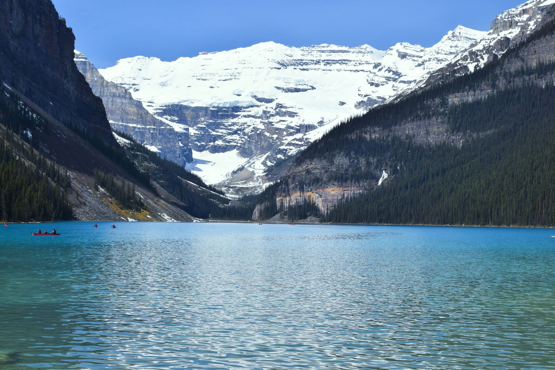
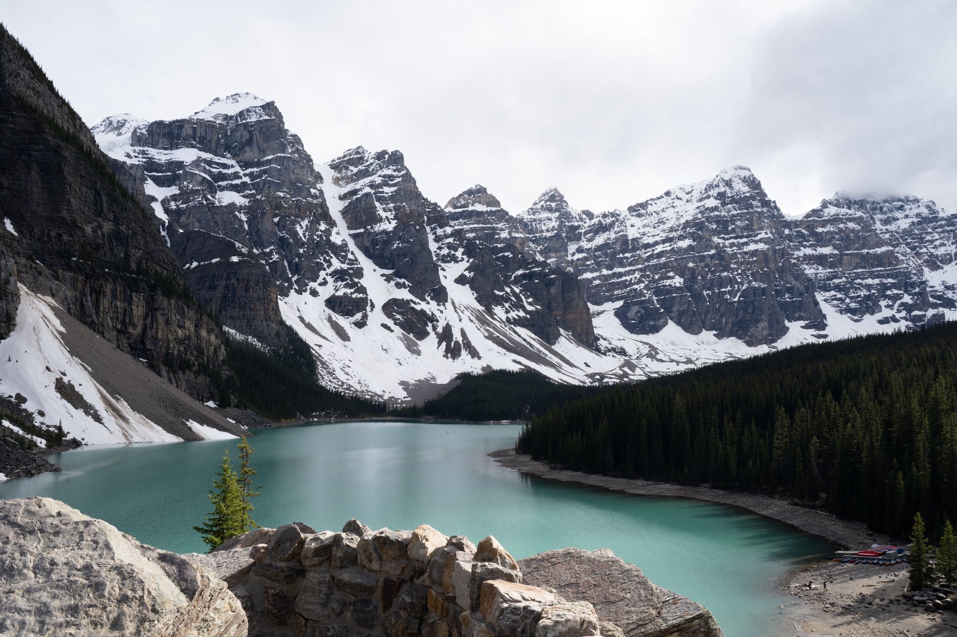
What the railway was selling is real, and the colour is not a filter. The lakes here are fed by glacial meltwater carrying rock flour, a suspension of particles ground fine by ice moving over bedrock, and those particles are small enough to stay in the water column and scatter the blue and green end of the spectrum back out. That is why the colour changes through the season, deepening as melt increases through summer and going pale and grey-green when the water is low or the sediment settles. It is also why the lakes are cold enough to hurt: the water arrives from under ice.
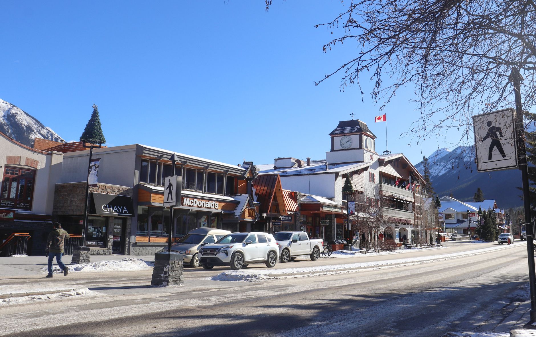
Banff took more than 4.5 million visitors in the 2025-26 year, a record, up from a previous high of 4.28 million; Roam, the local transit system, carried a record 2.3 million rides; and every frontcountry campground in the park sold out, some 292,000 site nights. The pressure is not spread evenly across 6,600 square kilometres. It concentrates on two lakes and a handful of viewpoints, hard enough that Lake Louise has needed traffic control around the clock. Parks Canada's own management plan for the lake puts the number of vehicles turned away at 1,800 to 2,500 on a normal summer day; in 2025 it ran closer to 3,000, roughly three of every four arrivals. Arriving at dawn has stopped being a strategy, because it is the baseline everyone else is using too.
The park was built to create demand for a railway. Its problem now is that it succeeded, and the cars will not fit.
At Moraine Lake, Parks Canada stopped pretending. Since 2023 the Moraine Lake road has been permanently closed to personal vehicles, and this is not a seasonal experiment: the only traffic allowed up it is the Parks Canada shuttle, licensed commercial buses, and visitors with an accessibility permit. Everyone else arrives by bus, on a bicycle, or on foot. The shuttle season runs roughly from the start of June to the middle of October. Outside it the road is closed to vehicles but not to people: its twelve and a half kilometres of pavement stay open to bikes, boots and skis, and Parks Canada plows it from about the middle of May, which gives two or three weeks when the lake needs no booking of any kind.
The booking mechanics matter more than any other single piece of planning here. Parks Canada splits its Moraine Lake and Lake Louise shuttle seats two ways: a single drop of the first 40 percent in the middle of April, at 8am Mountain Time, and the remaining 60 percent released on a rolling basis at 8am Mountain Time two days before each departure date.
For the rest of the 2026 season the April drop is long gone, so the rolling window is the only route in, and it rewards the traveller who is already in the valley and can set an alarm for a seat the day after tomorrow. The Lake Louise lakeshore shuttle runs roughly every half hour through the day from mid-May into October. Two further notes: an account made before a release date rather than during it is the difference between getting a seat and watching a page reload, and Roam's direct Moraine Lake route is not running in 2026, so reaching the lake on public transit means a Super Pass and a connection at Lake Louise Lakeshore.
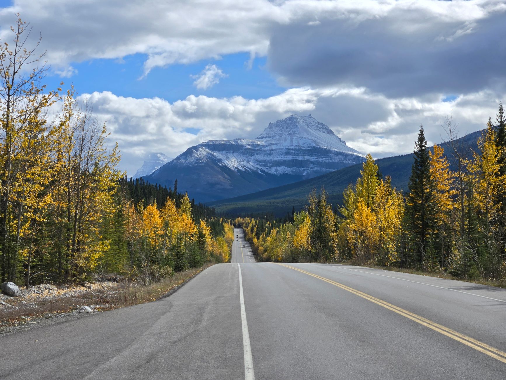
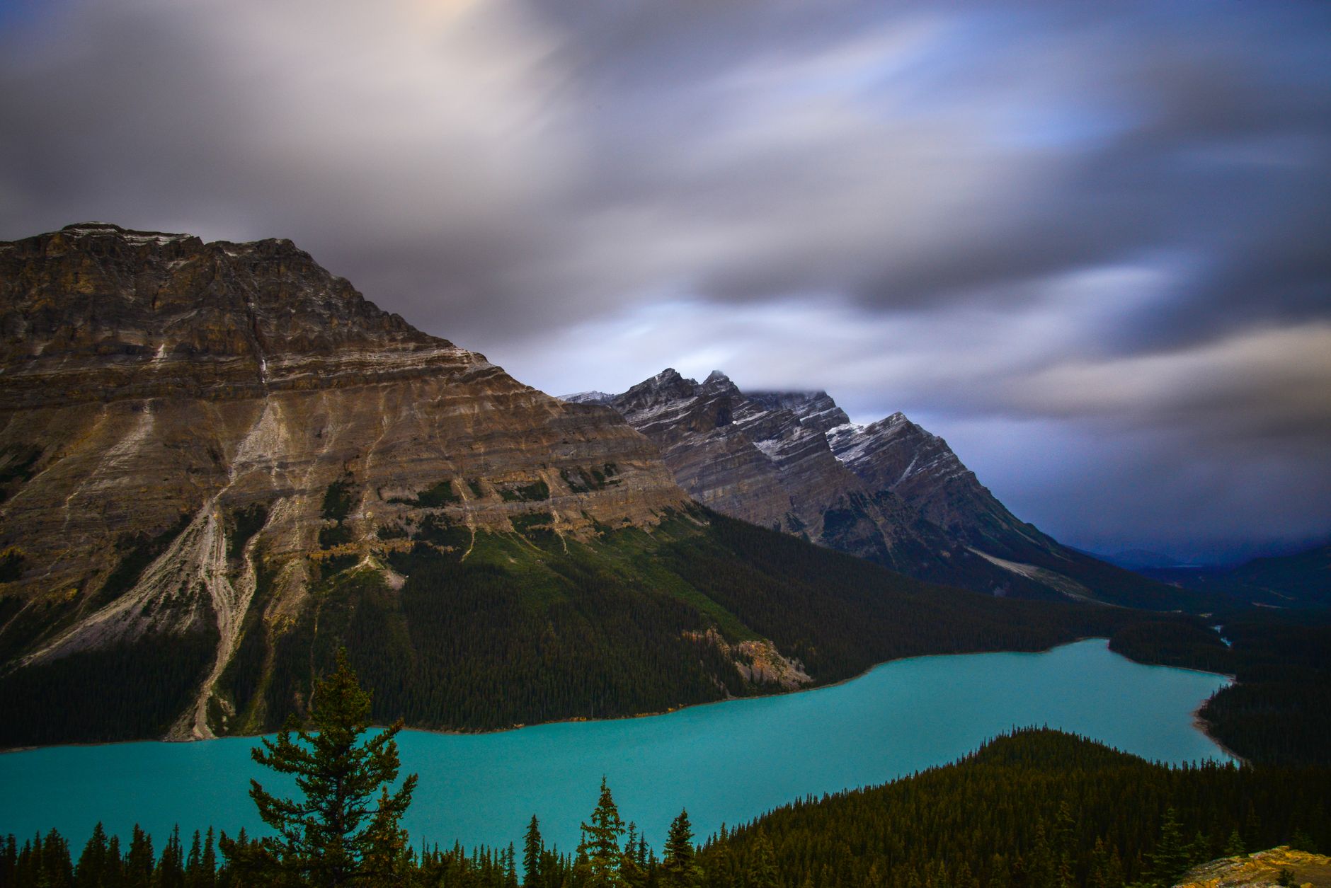
The two famous lakes are worth the administration, once. The Icefields Parkway, the road running north from Lake Louise towards Jasper, is the better part of the park and needs no reservation at all: about 230 kilometres of it, past Bow Lake, the Peyto Lake overlook at Bow Summit, Mistaya Canyon and the Weeping Wall, with viewpoints that are laybys rather than ticketed sites.
At the far end sits the Columbia Icefield and the Athabasca Glacier, which sits over the boundary in Jasper and is the Rockies' clearest lesson in what is happening to them: the glacier is thinning by something like five metres a year, and has retreated more than a kilometre and a half and lost over half its volume in the past century and a quarter. The interpretive signs marking where the ice used to reach do more for a visitor's understanding than any lake.
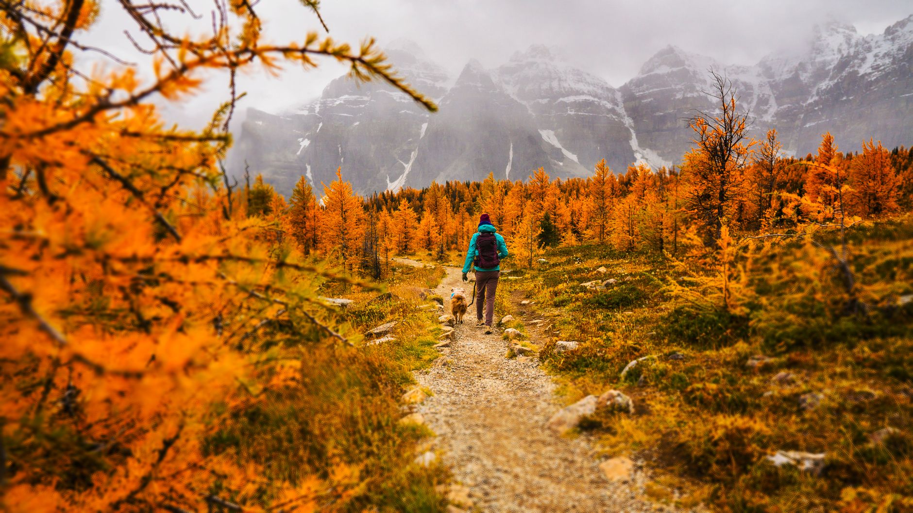
The best fortnight of the year falls outside summer. Larch season runs from about the middle of September into the first days of October, peaking most years in the last week of September, when the alpine larches turn a deep gold for a fortnight and then drop their needles. The celebrated walk is Larch Valley, above Moraine Lake, which means the trail depends on the same shuttle seat as the lake, so the larches depend on the same shuttle seat as the lake.
Two further notes: this is the busiest fortnight on those trails despite being outside the summer season, and from about the middle of July to the middle of October Parks Canada normally requires a tight group of four on Larch Valley, Sentinel Pass, Eiffel Lake and Paradise Valley, because bears are feeding on buffaloberry through those months. That covers the whole larch season. Solo walkers and couples should plan on finding two more people at the trailhead or not walking it.
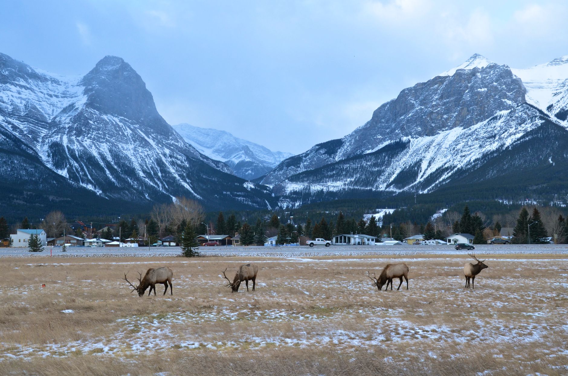
Wildlife here is genuinely present, and the two dangerous seasons are the ones visitors least expect. Elk walk through the town and along the golf course, and they are most dangerous during the autumn rut, which runs into the middle of October, when bulls guard groups of females and will charge anything that gets between them, and again in spring when cows are calving. Parks Canada asks visitors to keep at least thirty metres away and never to put yourself between a bull and his harem. Bears are a trail concern: carry spray, make noise, and read the closures. The park's wildlife overpasses and underpasses across the Trans-Canada, meanwhile, are the quiet success story here, credited with cutting wildlife vehicle collisions by around 80 percent and elk and deer collisions by something closer to 96.
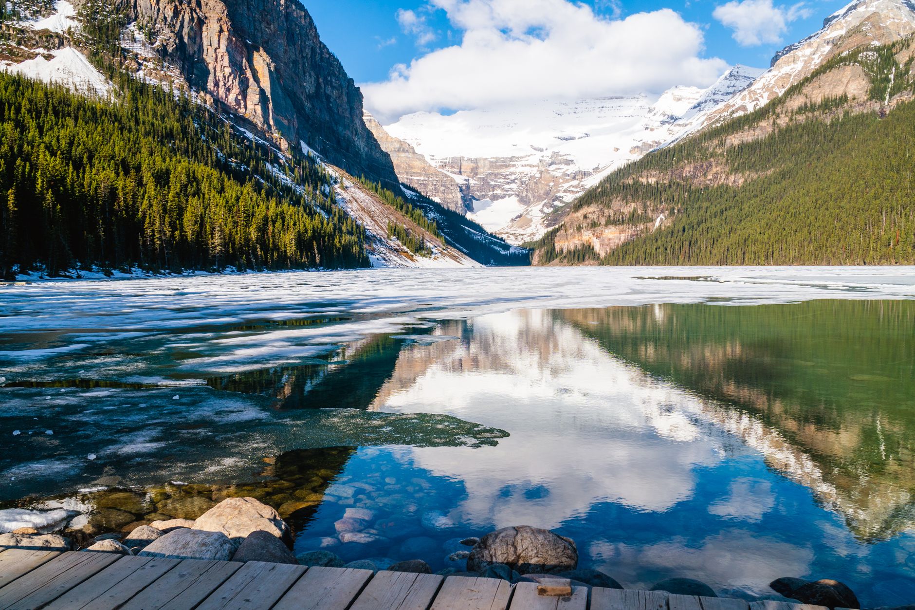
So the seasons sort into three quite different trips. July and August deliver full access, warm hiking and the whole reservation apparatus at maximum pressure. Late September buys the larches and the best light of the year at the cost of shorter days and the same booking scramble. And the shoulder and winter months, from November into April, hand back a park that is genuinely quiet: Moraine Lake road closed, Lake Louise a frozen surface with a skating rink cut into it, the Parkway open but requiring winter tyres and respect, and a town that stops rationing anything.
Anyone who has been told that Banff is ruined by crowds went in the last week of July. Late September and the shoulder weeks are the same park with most of the reservation machinery switched off, and from mid-May the Moraine Lake road is plowed and open to anyone willing to ride a bike up it.