Lying on its back in the tuff of Rano Raraku is a moai the island never finished and almost certainly never intended to move. El Gigante measures 21.6 metres, close to twice the height of any statue ever raised on a platform. Weight estimates run from 145 to 270 tonnes depending on the source. Either figure sits well past the outer edge of what could be shifted. Somewhere in the five centuries between roughly 1250 and 1500 CE, a society of a few thousand people on a 163 square kilometre triangle in the South Pacific began carving a thing it could not use.
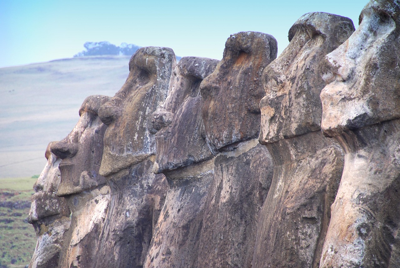
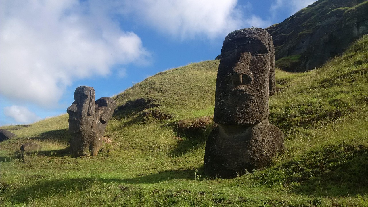
What makes that overreach legible is a question that took two hundred years to settle. Over 900 moai are known. All but 53 were quarried at Rano Raraku, and roughly 400 never left, standing on the outer slopes to the shoulders in their own quarry debris. The others crossed the island, some of them several miles, to platforms called ahu on the coast. Nineteenth and twentieth century archaeology assumed they were dragged flat on sledges and log rollers, an assumption that later hardened into a moral: islanders felled the last palms to haul stone and starved themselves out. Rapa Nui oral tradition said something else, and had said it consistently for generations. The moai walked.
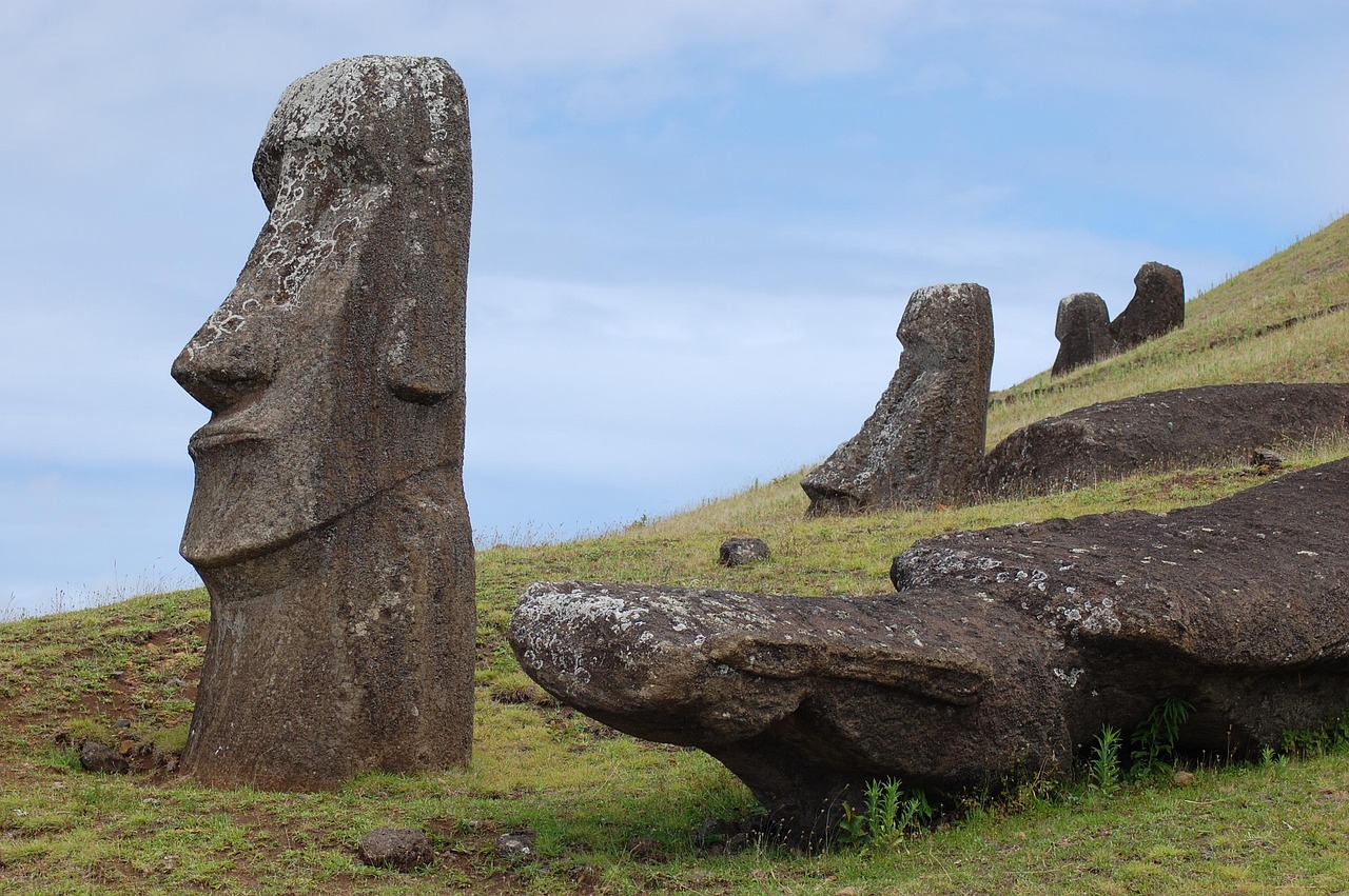
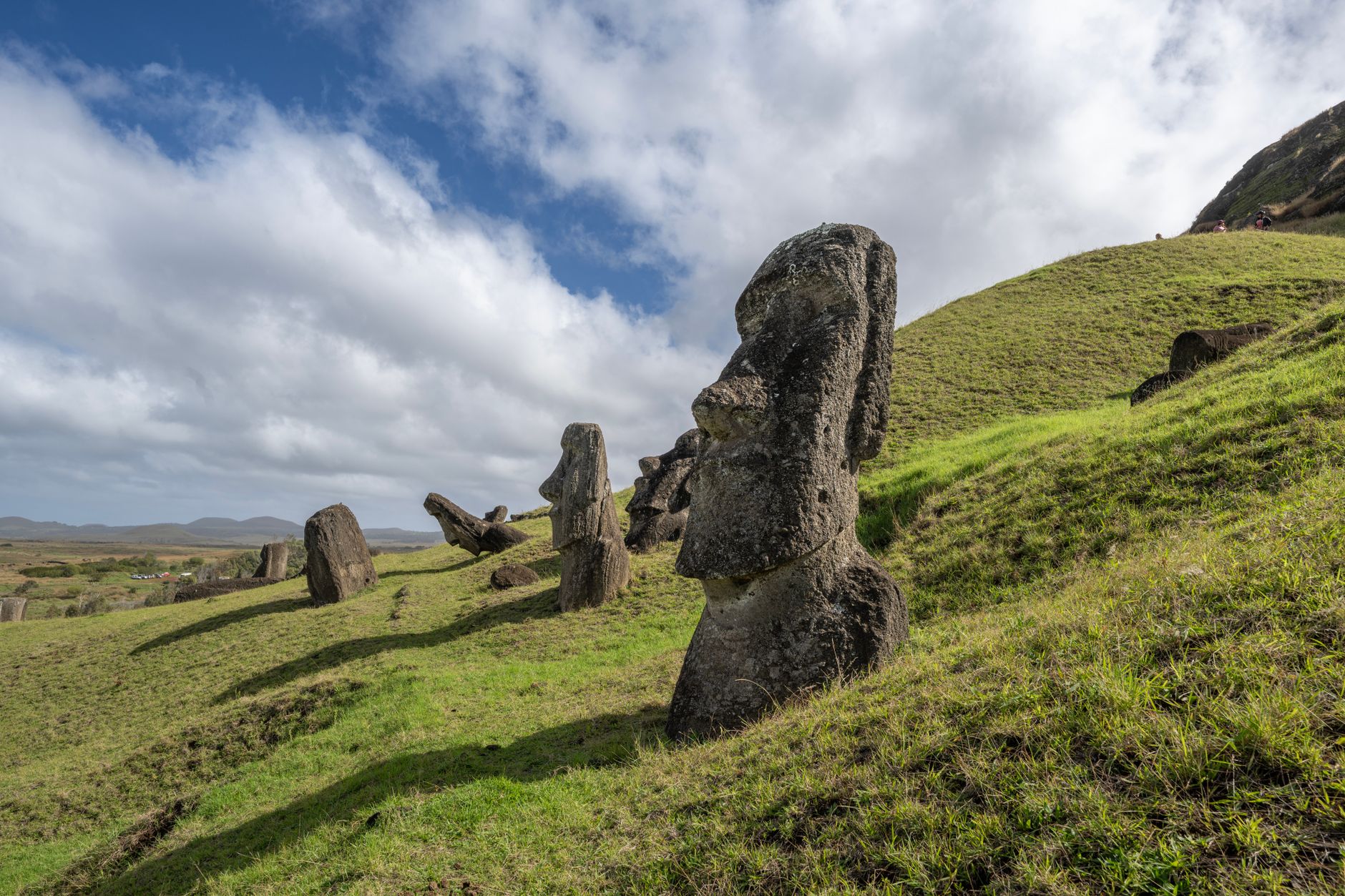
In October 2025 the Journal of Archaeological Science published the test. Carl Lipo of Binghamton and Terry Hunt of Arizona built a 4.35 tonne replica with accurate mass distribution, gave eighteen people three ropes, and rocked it. The statue travelled 100 metres in 40 minutes in a controlled zigzag, leaning 5 to 15 degrees forward, and got easier to move as momentum built. Three dimensional modelling of nearly a thousand moai found the same design signature again and again: a wide D-shaped base and a forward lean that a finished platform statue does not have. The island's old roads measure about 4.5 metres wide with a concave cross section, a profile that does nothing for a sledge and everything for a rocking upright mass.
The method does not get harder as the statues get bigger. It gets more feasible.
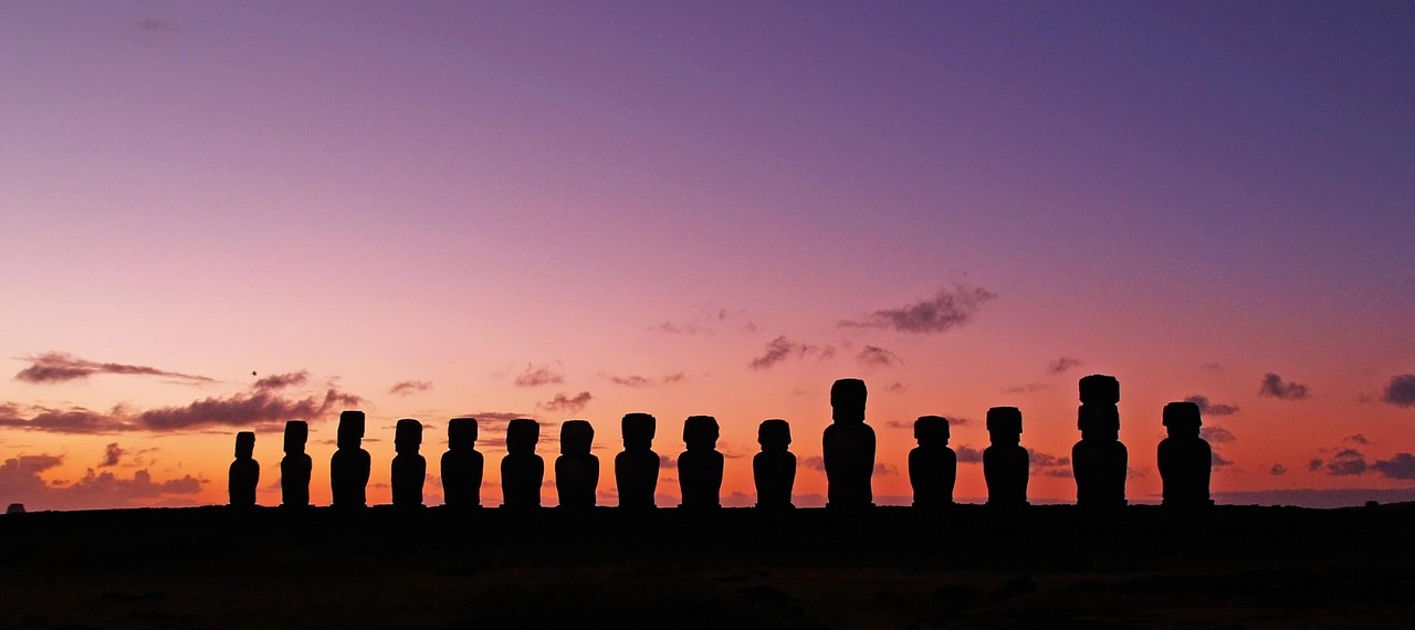
None of the moai standing on a platform today has been standing continuously. Through the late eighteenth and early nineteenth centuries the island's clans pulled them down, face first into the earth, and by the latter part of the nineteenth century not one moai on an ahu remained upright. Every silhouette in every photograph taken here is a twentieth century act of repair.
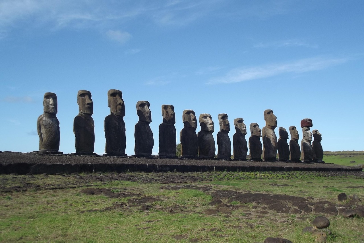
Tongariki has the hardest version of that story. Its fifteen moai were re-erected once, then flattened again in 1960 when the tsunami that followed the Chilean earthquake swept the platform and threw fifty tonne statues inland. The restoration ran through the 1990s, led by the Chilean archaeologists Claudio Cristino and Patricia Vargas Casanova under an agreement between the Chilean government, the University of Chile and the Japanese crane manufacturer Tadano.
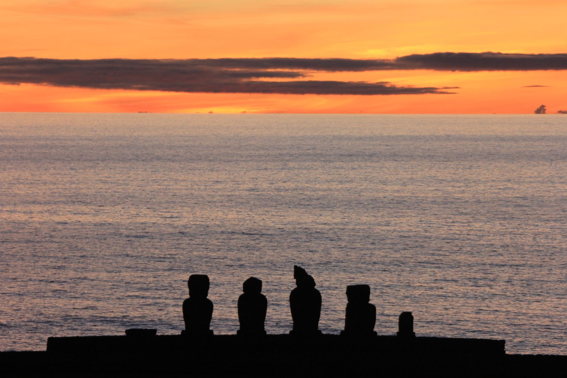
Ahu Akivi, about ten kilometres northeast of Hanga Roa, was put back up earlier, in 1960, by the American archaeologist William Mulloy and his Chilean colleague Gonzalo Figueroa Garcia-Huidobro. The first of its seven took a month to raise. The seventh took under a week. Akivi's moai are the well-known anomaly, seven figures of near identical size that face the ocean with the settlement at their backs, aligned on the setting sun at the spring equinox.
The Polynesian rat arrived with the first canoes and ate palm seed faster than the palms could replace it. That, more than any felling for timber, is where the deforestation is now placed, and it takes the load off a story that made Rapa Nui a global parable of a society destroying itself. The demographic catastrophe arrived from outside as well. The Peruvian slave raids of 1862 and 1863 abducted around 1,500 people, roughly half the island. Introduced disease did the rest. By 1877 the population stood at 111. A society that had survived centuries of isolation was reduced in fifteen years by people who arrived by ship.
In October 2022 a fire burned more than 100 hectares at Rano Raraku. A later UNESCO assessment counted over 350 damaged archaeological pieces, including 222 statues, of which 22 were destroyed outright. The blackened tuff is still visible on parts of the slope, and it is worth knowing before arriving, because guides will mention it and the scale is not obvious to an untrained eye.
Planning is where visitors lose most of their island time, and three rules do the damage. First, entry paperwork: Chile requires an electronic Single Entry Form for Rapa Nui, filed at ingresorapanui.interior.gob.cl from 21 days before arrival up to boarding, plus a reservation with a SERNATUR registered property and a return ticket inside the 30 day maximum stay. The Investigative Police check all of it, and travellers who arranged only the hotel get stopped in Santiago.
Second, the park pass admits its holder to Rano Raraku and Orongo once each. Every other site is unlimited, and the pass runs ten days from first use. Buy it online through the Rapa Nui National Park site or at the Ma'u Henua office in Hanga Roa, which has run the park since 2017 and shuts its computers before the posted closing time, so aim for the middle of the afternoon. Third, an accredited local guide is mandatory inside the archaeological sites. Tahai and Anakena are the exceptions. A rental car covers the beach, the sunset and the drive out to meet a guide, but it will not get anyone into the archaeological sites alone.
The one-entry rule has a direct consequence: Rano Raraku is the single hour on the island that cannot be repeated, so give it a clear unhurried morning and keep it off the jetlagged arrival afternoon. Tongariki sits five minutes away and is unlimited, which is what makes the standard pairing work. The dawn there is less of a scramble than its reputation suggests: pink light begins around an hour before official sunrise and the sun takes a long time to clear the platform, so there are roughly ninety minutes of usable light and no need to fight for a position. Check the day's sunrise and subtract an hour, because a fixed pickup time means little when the gate opens whenever a ranger arrives to open it.
Bring layers. Pre-dawn wind on that coast is consistently underestimated, and cloud takes its share of mornings, which is the argument for attempting Tongariki early in a stay rather than saving it for the last one. Most of the crowd compresses directly in front of the platform, and the site photographs better from further back, where the fifteen read as a single line against the sky. Turn around at some point: Rano Raraku catches the first light behind you.
The practicalities are unforgiving in small ways. Almost all food is imported and priced accordingly. Cash comes from ATMs in Hanga Roa and nowhere else. The internet is poor, so maps and reading want downloading before the flight. Businesses answer WhatsApp and ignore email, and posted opening hours are unreliable enough that confirming on the day is standard practice. Spanish helps considerably more than English.
Weather will take a morning from most itineraries, which argues for a buffer day rather than a longer trip: the core sites fit into three or four days, and the guide requirement sets the pace regardless. March to April and October to November bring mild weather and low sun, with fewer visitors on the sites. July is the coldest and the wettest. February is the Tapati festival, when the island is at its fullest and hardest to book, and when rooms in Hanga Roa go months ahead.