Argentina in the popular imagination is Buenos Aires and the glaciers of Patagonia, and the northwest is neither. The provinces of Salta and Jujuy belong to the Andes, high and dry and geologically loud, and have more in common with the Bolivian altiplano than with the pampas far to the south. Coca leaves are sold openly in the markets against the thin air. The food turns to empanadas baked in clay ovens, to locro, a thick maize and squash stew, and to humita, sweet corn steamed in its own husk. The postcards do not come from here.
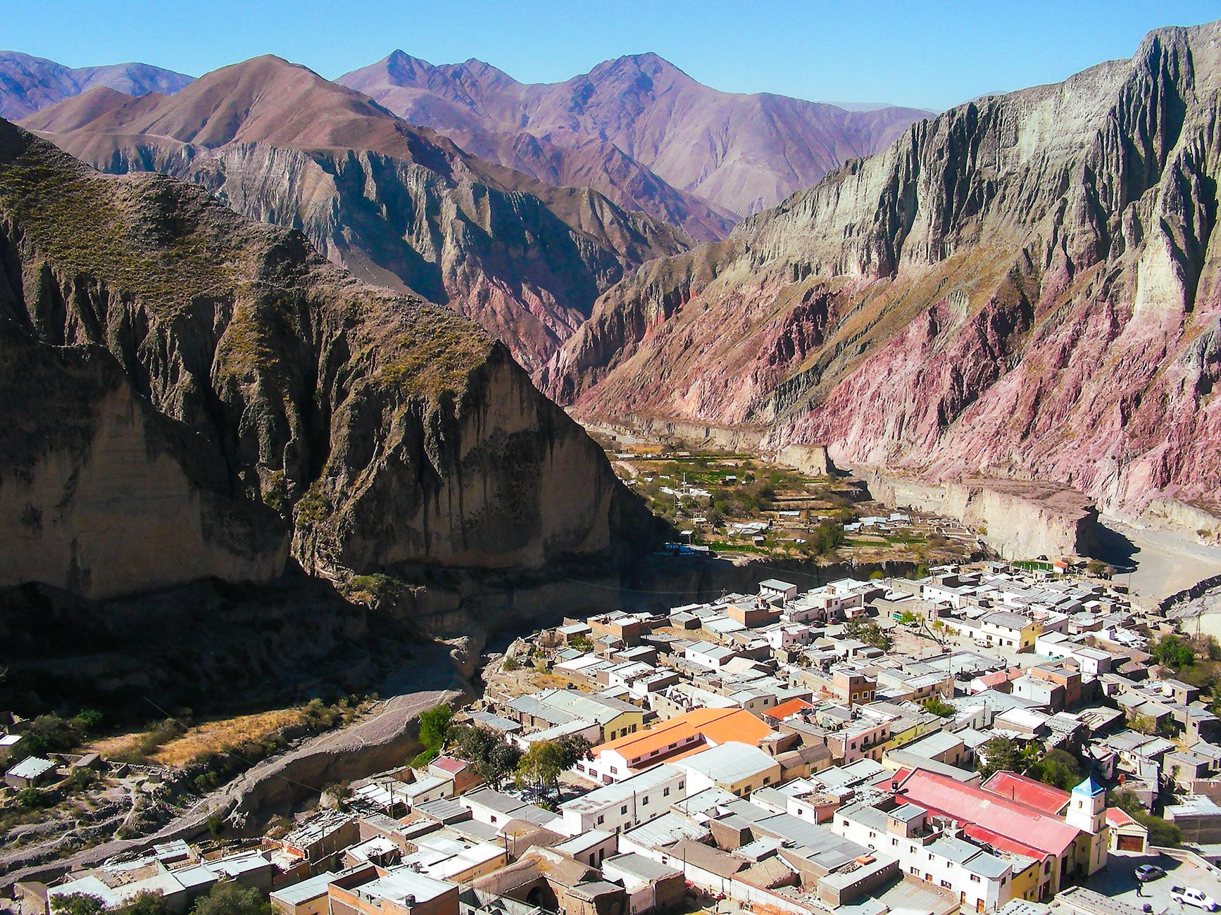
The Quebrada de Humahuaca runs for roughly 155 kilometres up the valley of the Rio Grande in Jujuy, and to drive it is to move through deep time. UNESCO listed it in 2003, though people have lived along it for at least ten thousand years. The Inca ran their great road, the Qhapaq Nan, through the gorge; the Spanish turned it into the colonial highway from Peru down to the Rio de la Plata; and the armies of Argentine independence fought back and forth across it. The rock keeps the record. Layer on layer of sediment stands tipped and exposed along the valley walls.
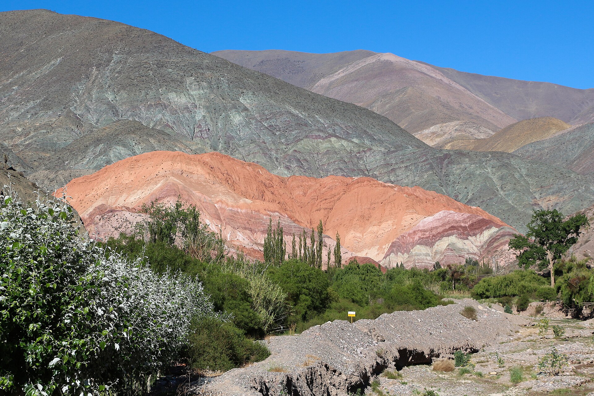
Purmamarca is the first place the colour stops a car. The adobe village sits at the foot of the Cerro de los Siete Colores, the Hill of Seven Colours, a wall of striped sediment where hematite gives the reds and pinks, limestone the whites, and copper minerals a vein of green. The band is a matter of chemistry and a hundred million years of deposition, not paint. Morning is the hour that earns the drive. The low sun rakes across the strata and lifts every band, where midday flattens the whole hill to a haze.
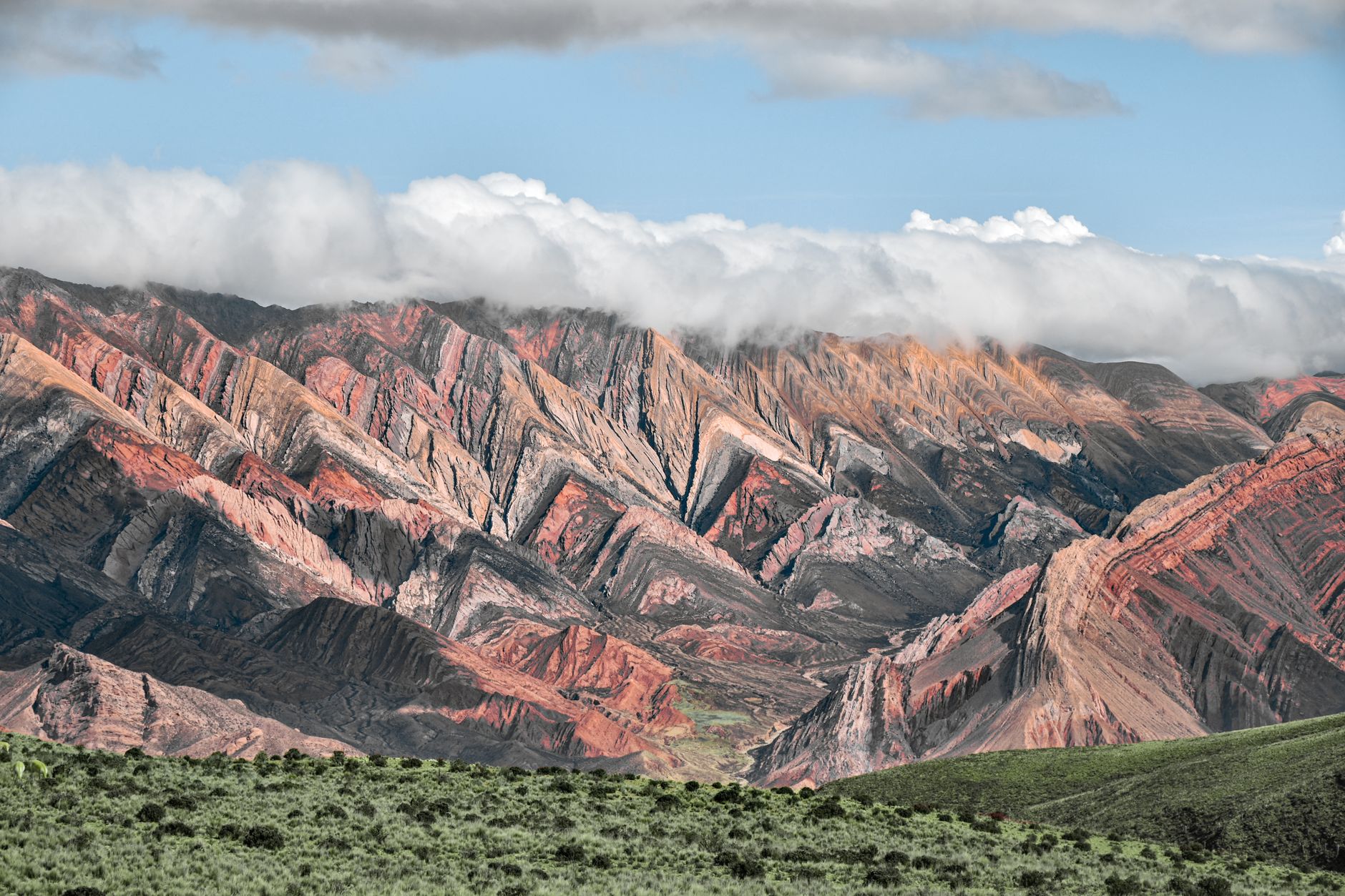
East of the town of Humahuaca a rough unpaved road climbs to the Serrania de Hornocal, a sawtooth ridge of folded marine limestone that locals count at fourteen colours. The viewpoint stands at about 4,350 metres and the peaks behind it reach some 4,761. An ambulance is parked at the car park, which tells arrivals most of what they need to know about the altitude. The climb from the valley is quick; the air is not. The sensible way up is slow, with water and time enough to let the body catch up.
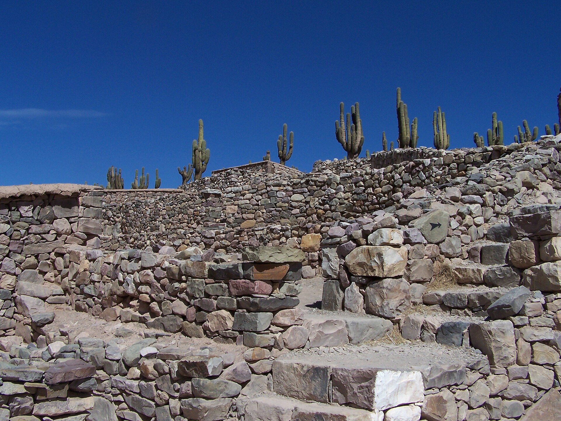
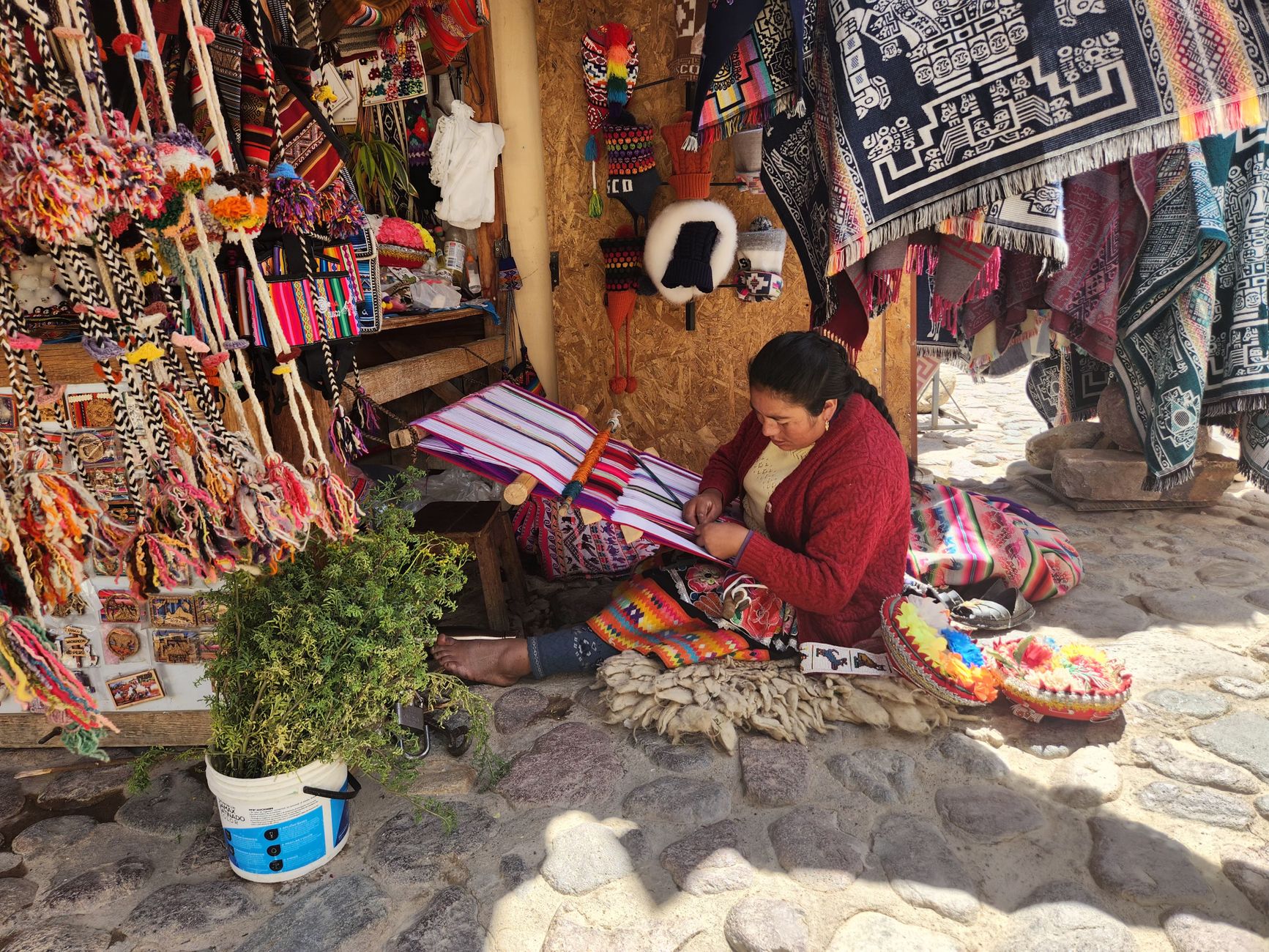
Tilcara, back down in the valley, is its liveliest town and the base for the Pucara de Tilcara, a pre-Inca hilltop fort raised by the Omaguaca people and the only archaeological site in the Quebrada open to the public. Its reconstructed stone walls look out over the river, and cardon cactus climb the slope below them. The markets of these towns run on Andean textiles woven by hand, and on the coca sold by the bag beside them.
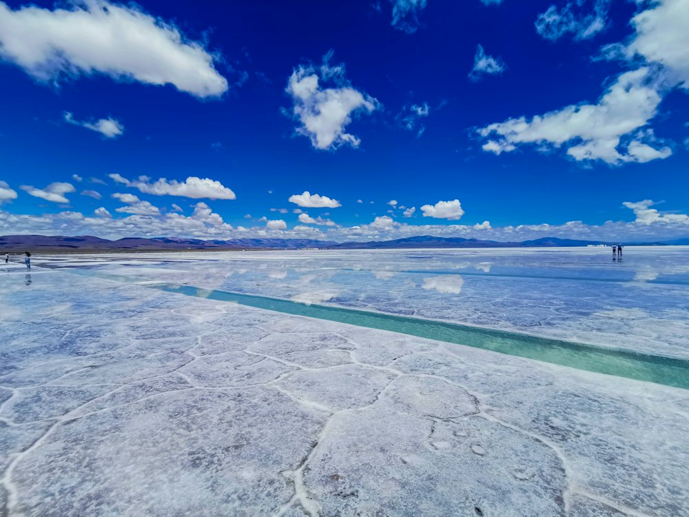
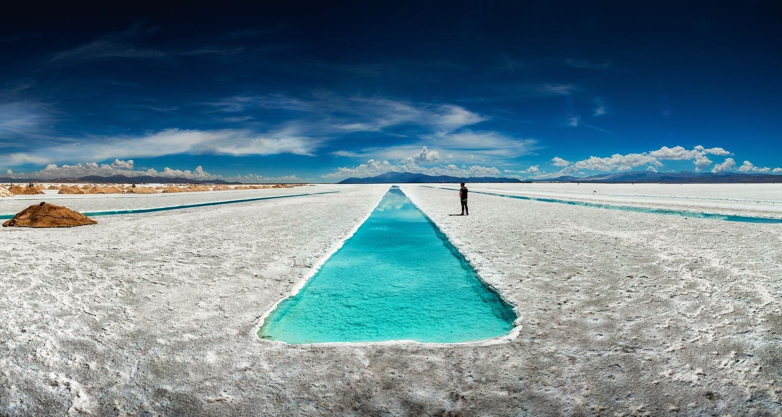
West of Purmamarca the road tilts up over the Cuesta de Lipan, a pass of around 4,170 metres that is the highest point of any road in Jujuy, and drops onto the Salinas Grandes. The salt flat covers some 212 square kilometres at about 3,450 metres. The harvest cuts the white crust into shallow geometric channels, and where the workers have dug down, pools of startling blue stand open in the surface, the Ojos del Salar, the eyes of the salt. It is smaller and far quieter than the great Uyuni flat over the border in Bolivia. It is also contested ground: a running dispute pits lithium mining against the indigenous communities who hold the land.
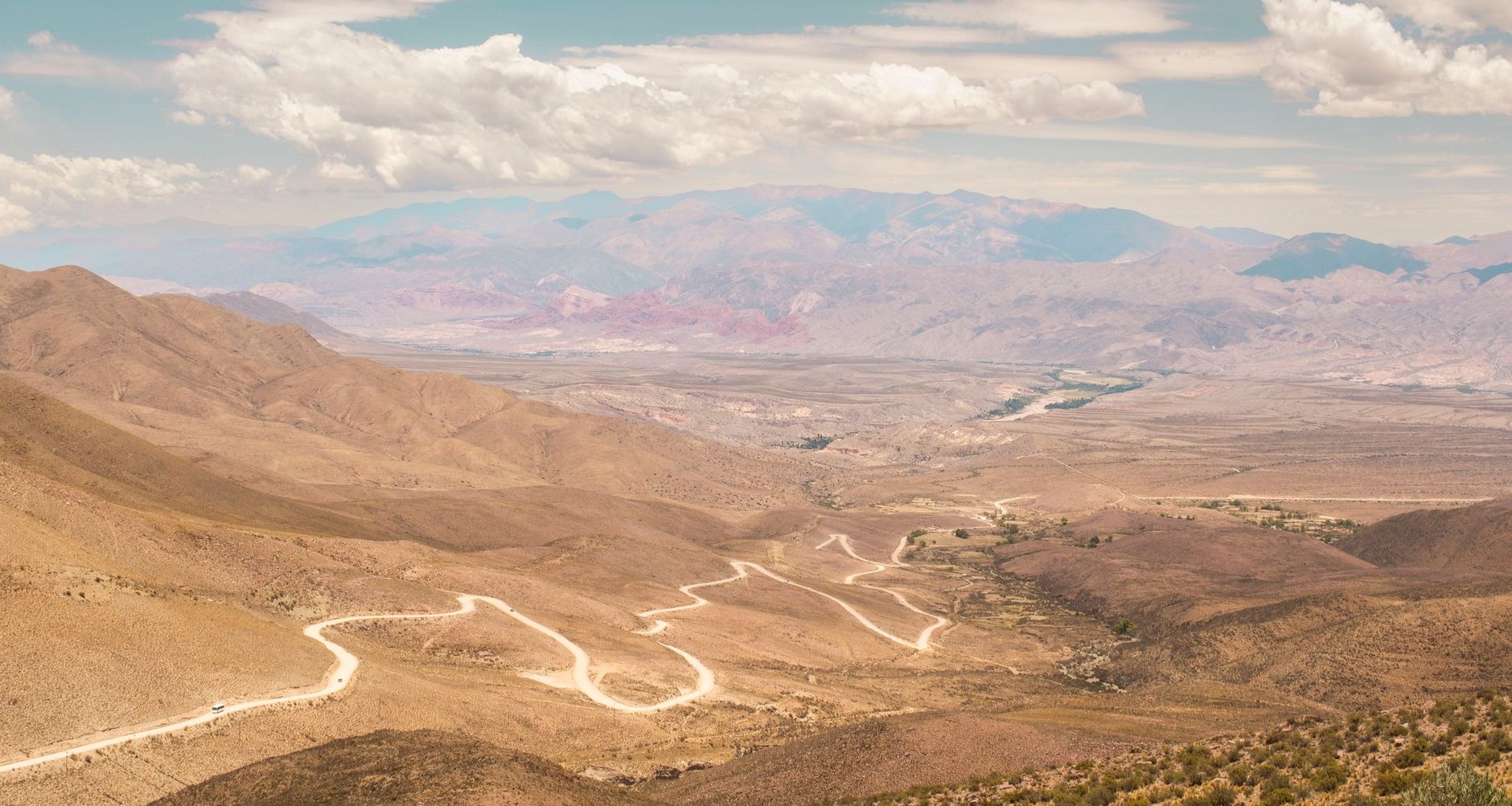
This is a country measured in metres above the sea, where the vines grow higher than most mountains and the salt lies at the height of an Alp.
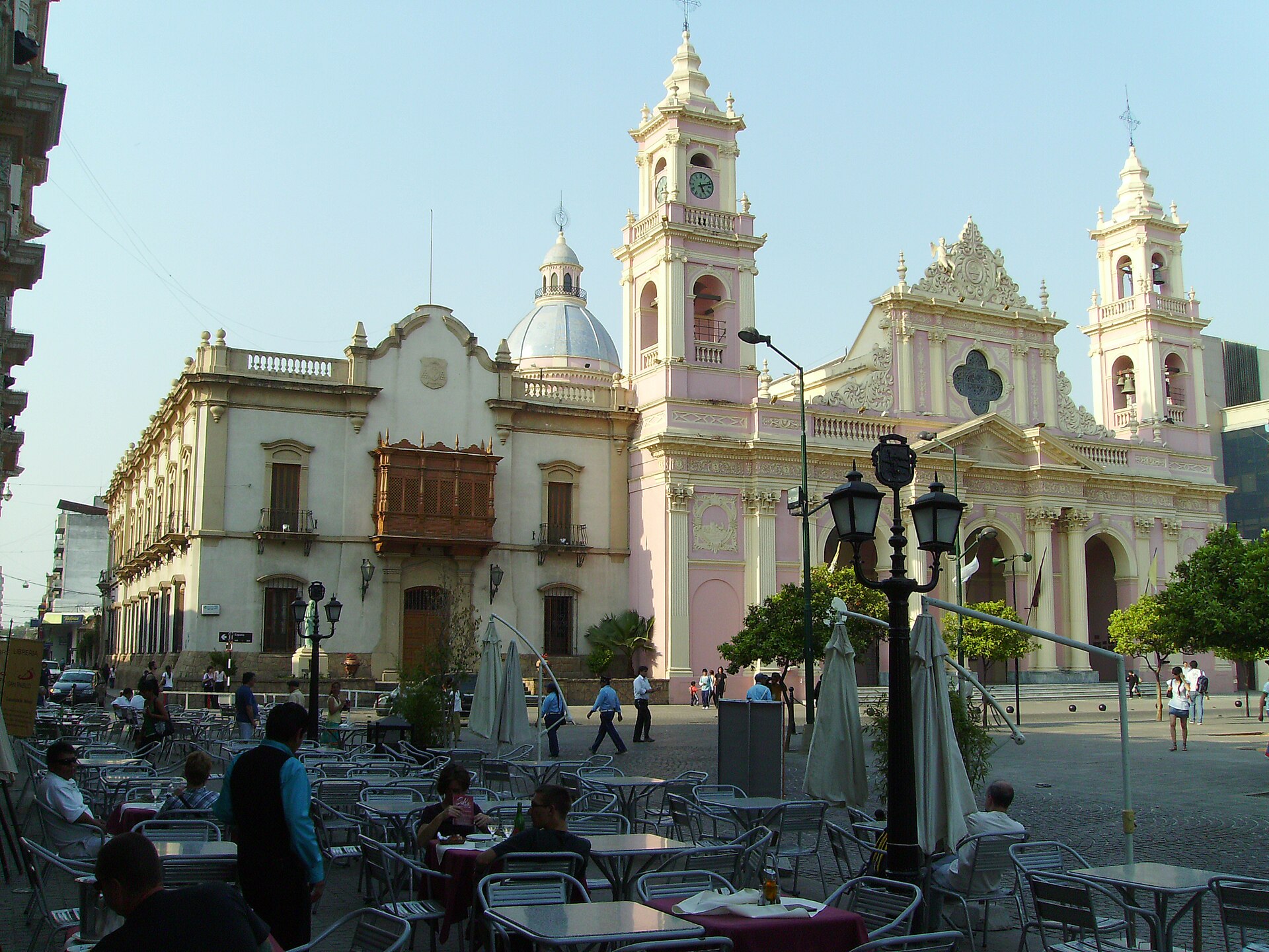
Salta, the regional capital, calls itself Salta la Linda, Salta the Beautiful, and wears its 1582 founding more openly than most Argentine cities. A pink cathedral and the ox-blood facade of the San Francisco church face onto the Plaza 9 de Julio, and a cable car climbs the Cerro San Bernardo above the rooftops. The reason to stop is the MAAM, the museum of high-altitude archaeology, which holds the Children of Llullaillaco, three Inca children found frozen in 1999 near the summit of a 6,739-metre volcano, the highest archaeological site in the world. They are shown one at a time, in low light and cold, an encounter that lands as sobering rather than macabre. In the evening the peñas take over, folk-music eateries such as La Casona del Molino and Balderrama, where the diners pick up guitars between courses.
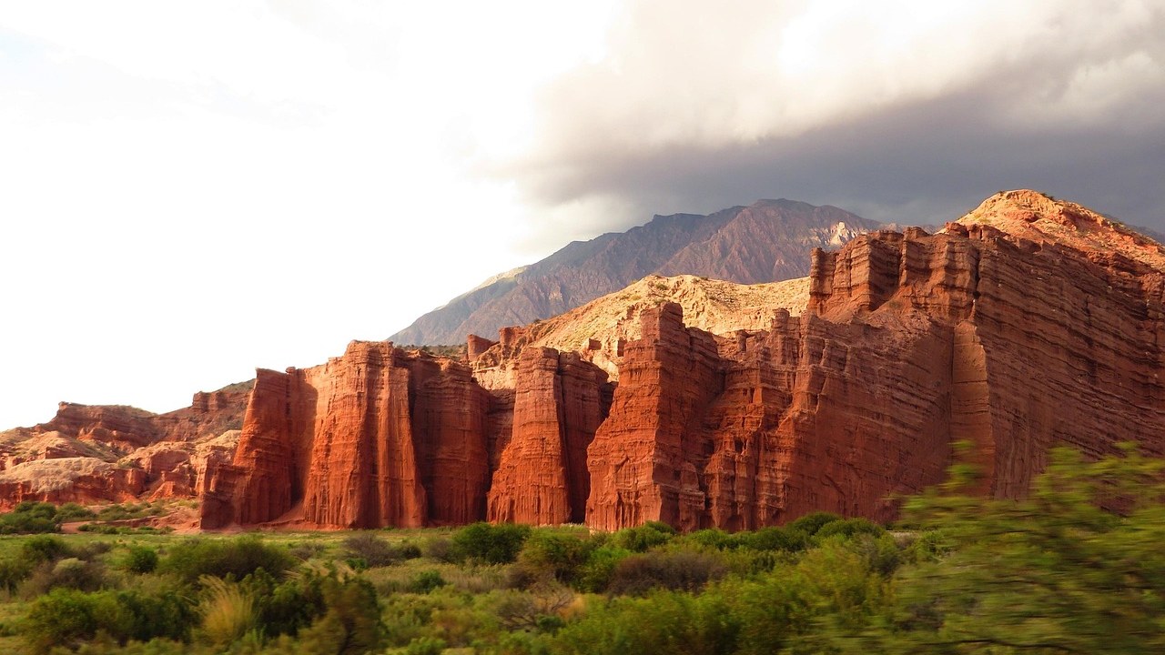
The drive south from Salta to Cafayate on the RN 68 runs 183 kilometres, and for around 80 of them it threads the Quebrada de las Conchas, a gorge of red sandstone weathered into chambers and slots. Two have names and audiences: the Garganta del Diablo, a narrow cleft, and the Anfiteatro, a natural chamber where musicians set up to play for the acoustics. Cafayate at the far end anchors around fifteen wineries. Its signature is Torrontes, an aromatic white grown here higher than almost anywhere, alongside the Malbec that made the country's name.
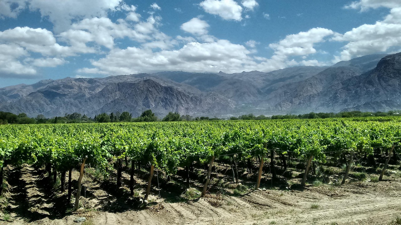
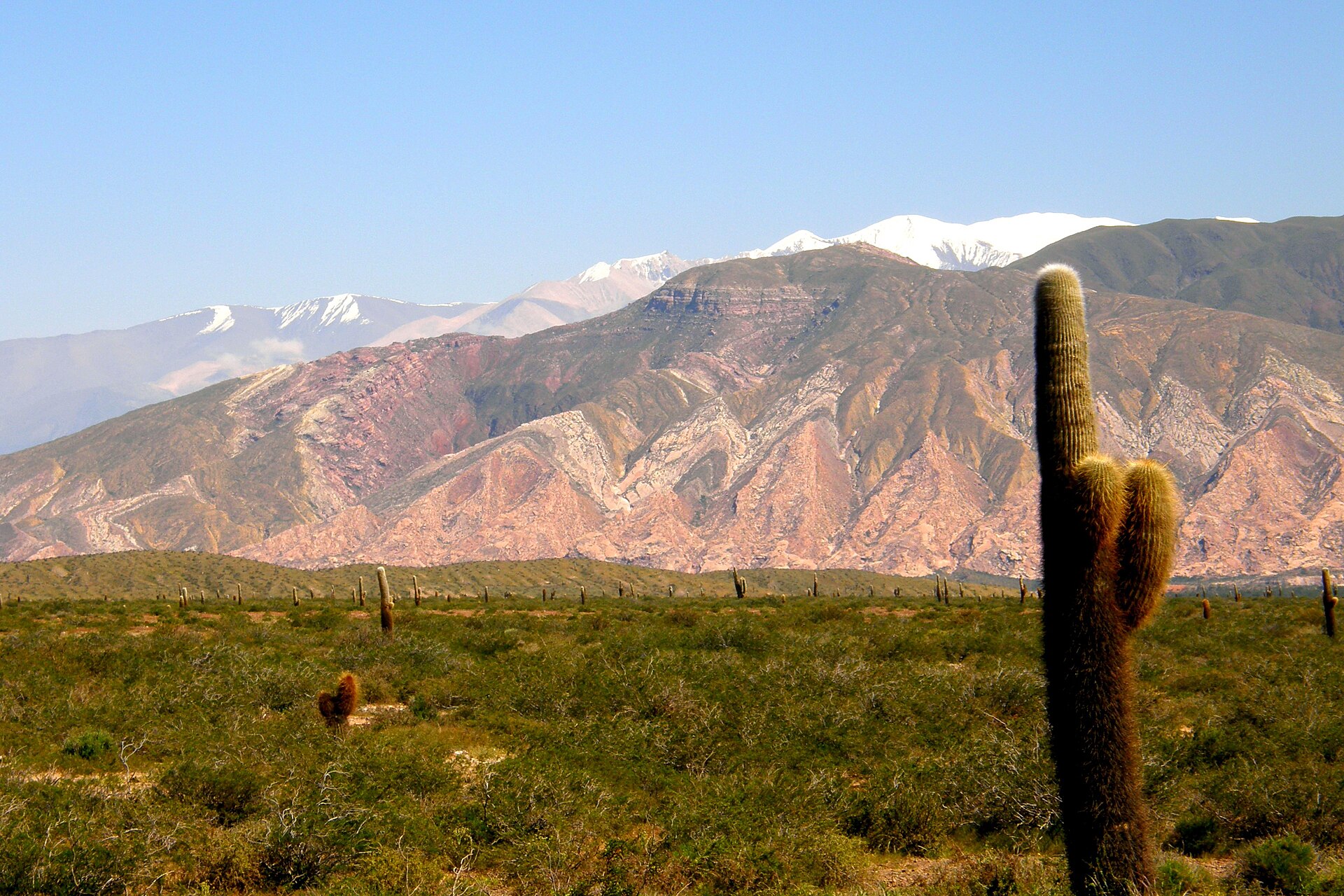
The other road out of Salta climbs harder. The RP 33 works up the Cuesta del Obispo to about 3,348 metres and runs the dead-straight Recta Tin Tin across Los Cardones national park, a forest of cardon cactus that stand like candelabra over the high plain, to the whitewashed adobe town of Cachi on the Ruta 40. Nearby, Bodega Colome farms one of the highest vineyards on earth at around 3,111 metres.
None of this sits far from a plane. Salta's airport is at about 1,187 metres, a little over two hours from Buenos Aires, low enough to make it the sensible place to land and acclimatise before going higher. From there the choice is a hire car or the shared jeeps that run the same routes. The paved roads, the RN 68 and the floor of the Quebrada, ask nothing special; the Cachi stretch of Ruta 40 and the spurs to Hornocal and Iruya are unpaved, and a higher-clearance car repays itself. The region divides into two loops, the Calchaqui valleys by way of Cachi and Cafayate, and the Quebrada and puna by way of Purmamarca, Salinas Grandes and Humahuaca; the pair fill a busy seven or eight days. The dry season runs April to November, and the summer rains can wash the access roads out. One thing has changed for the worse. The old black-market bargain, the blue dollar, has effectively gone, the rates have converged, and the north is no longer the giveaway it briefly was.