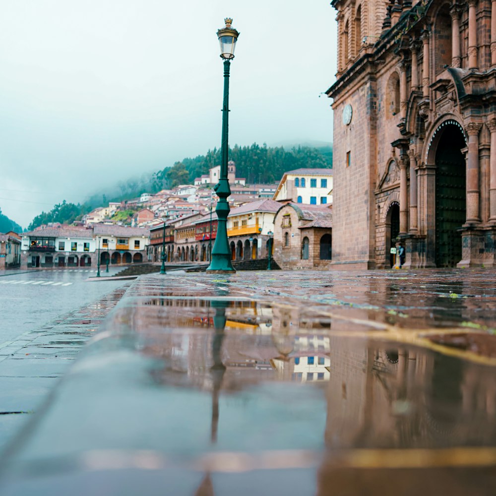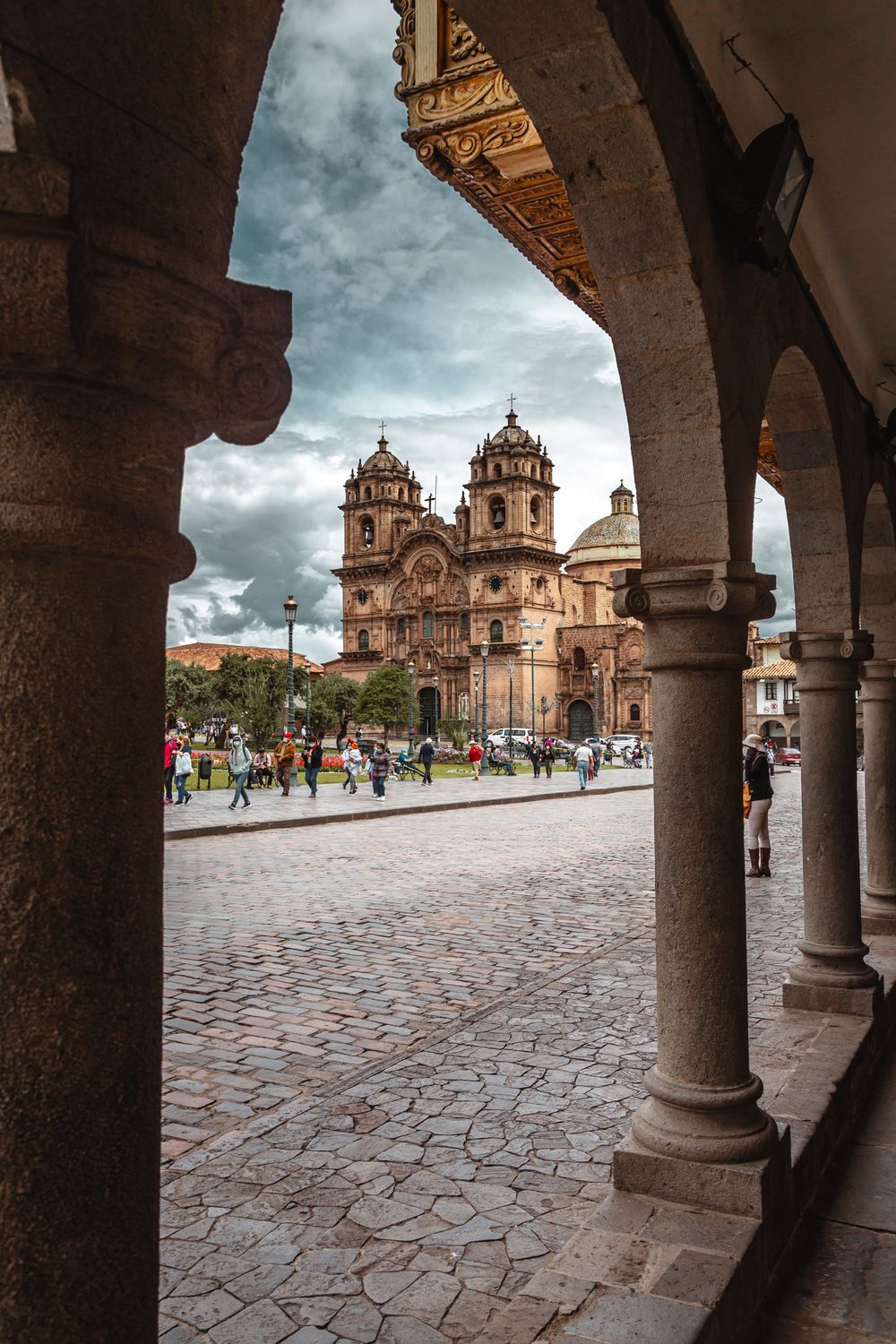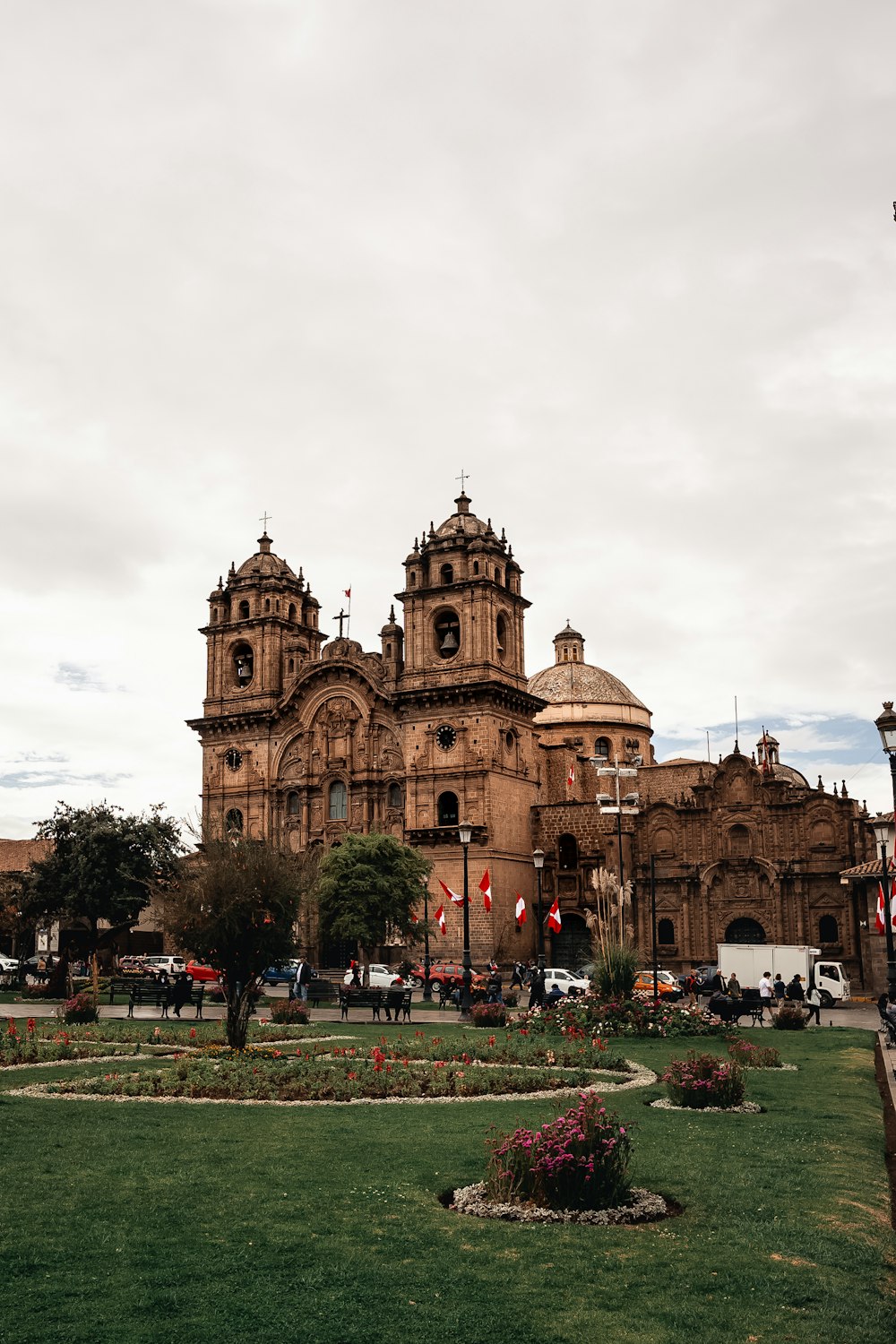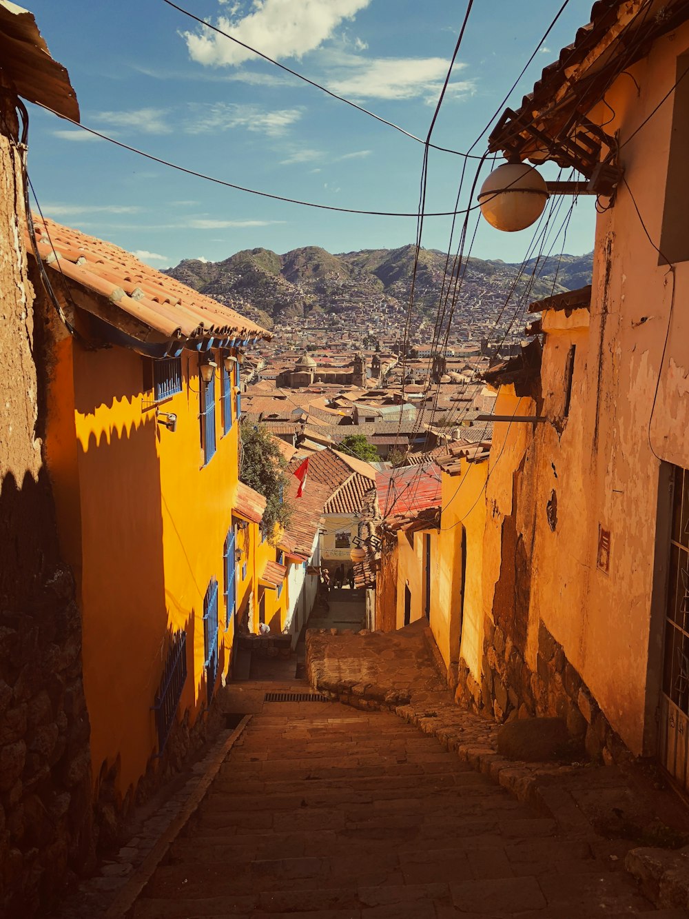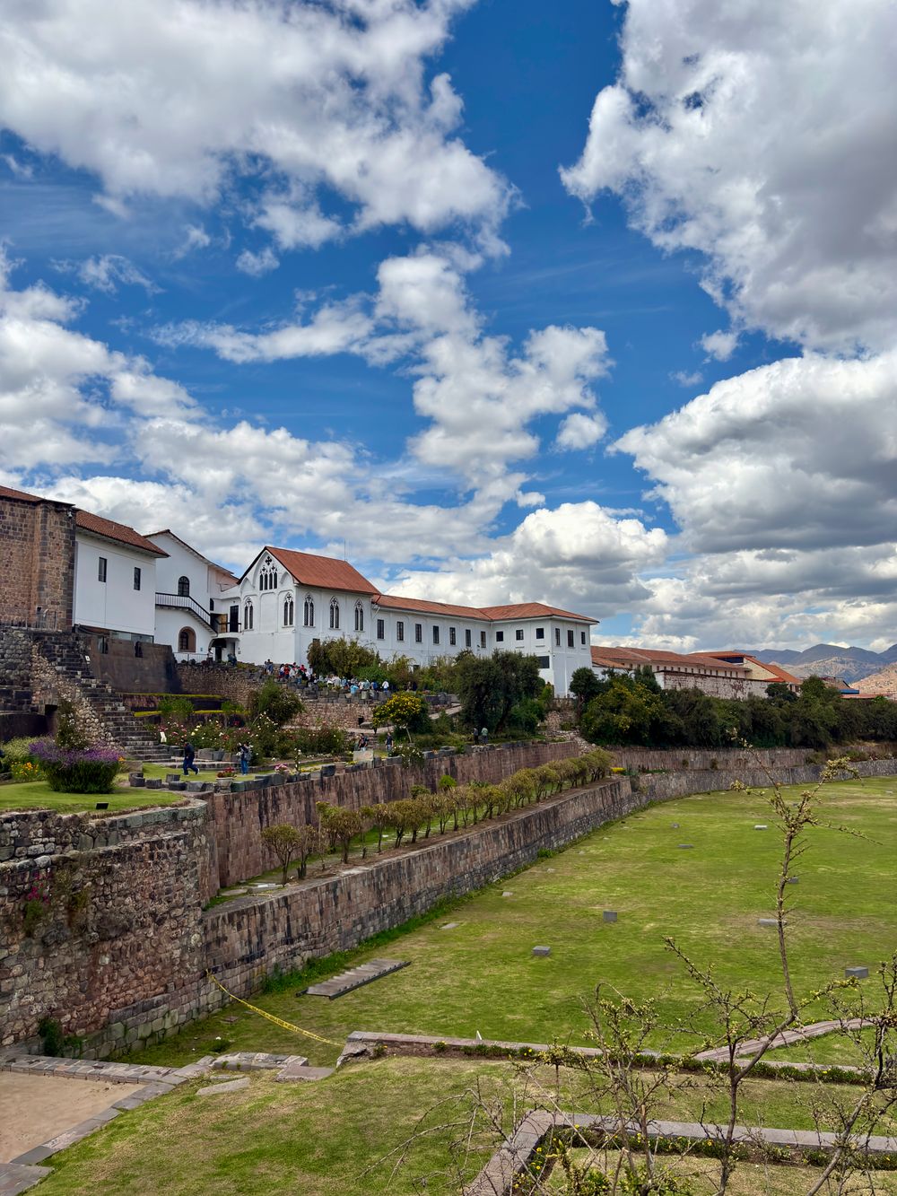
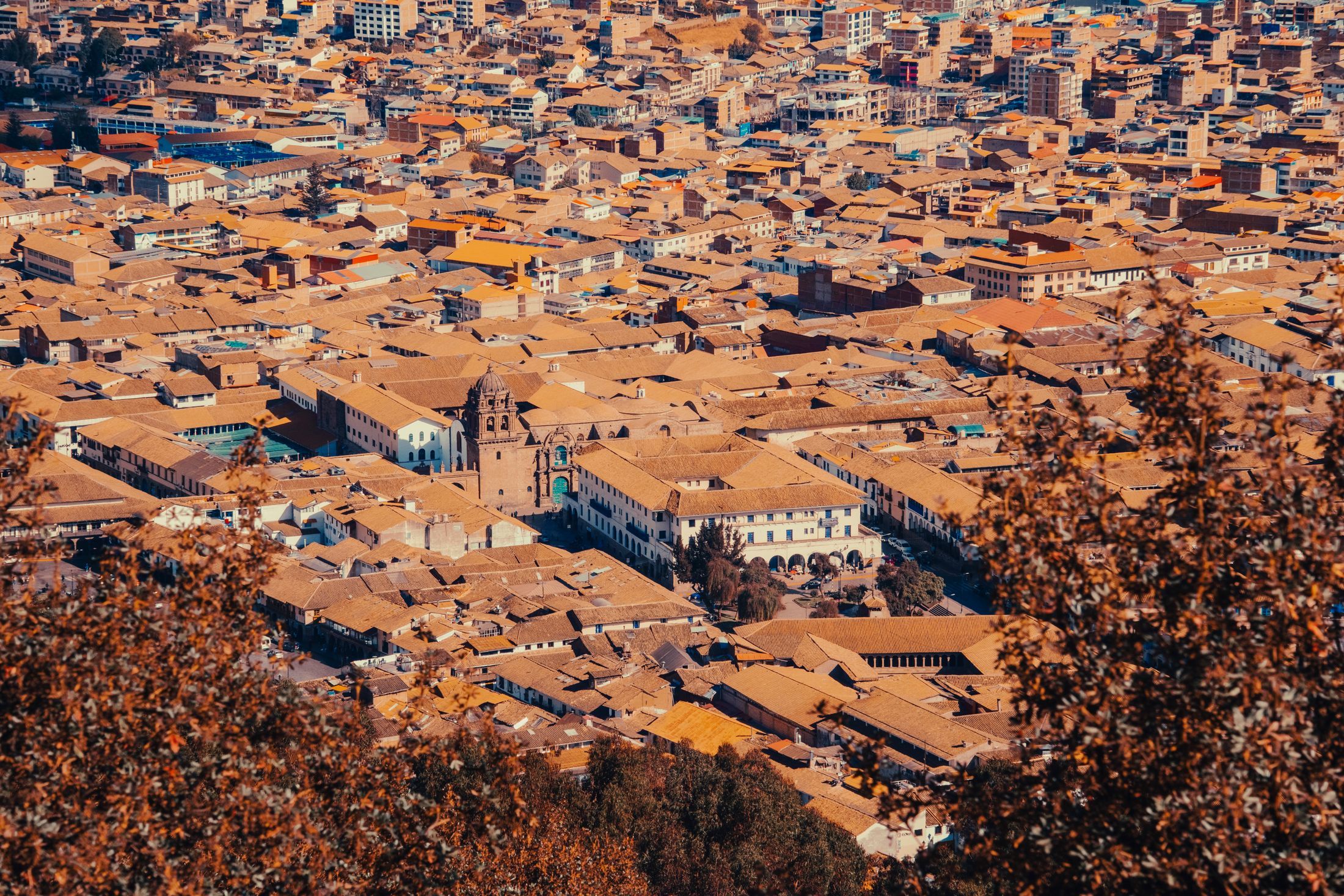
It starts, like almost everything in this corner of Peru, in Cusco. You fly into the old Inca capital at eleven thousand feet, give your lungs a day to catch up, and then drive four hours out toward the Apurimac to a village called Cachora, where the tarmac gives out. That is as close as a wheel will take you. From Cachora on, there is no road to Choquequirao, and that is the whole point of it.
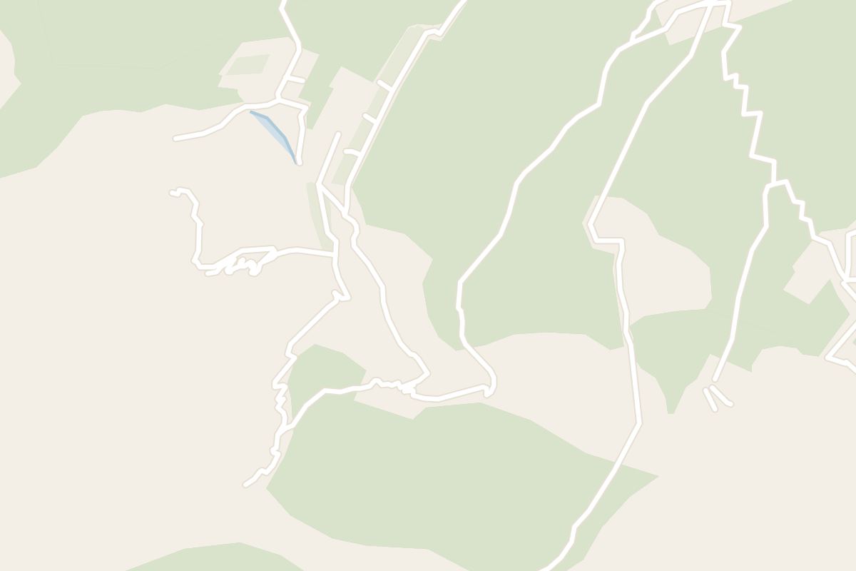
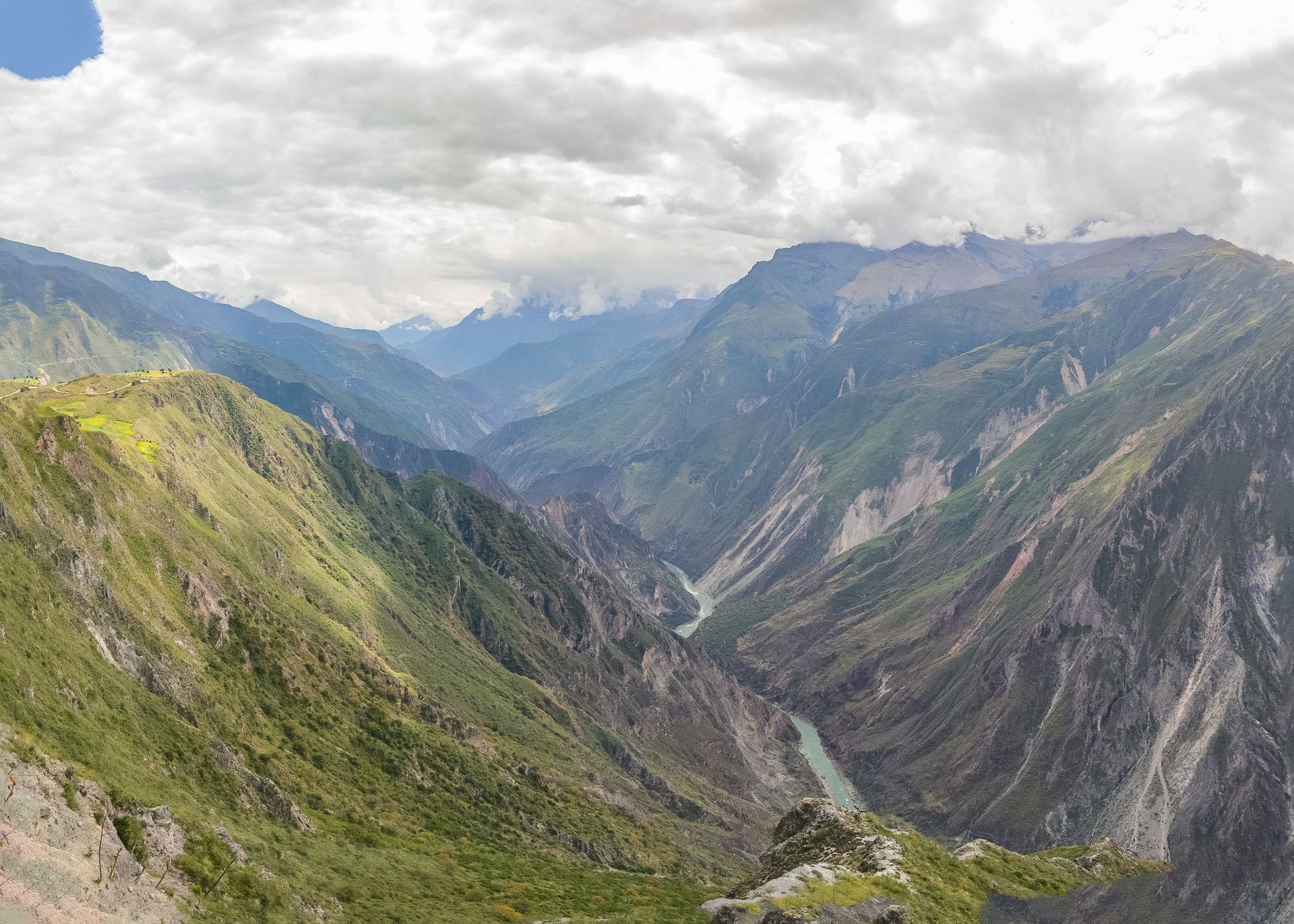
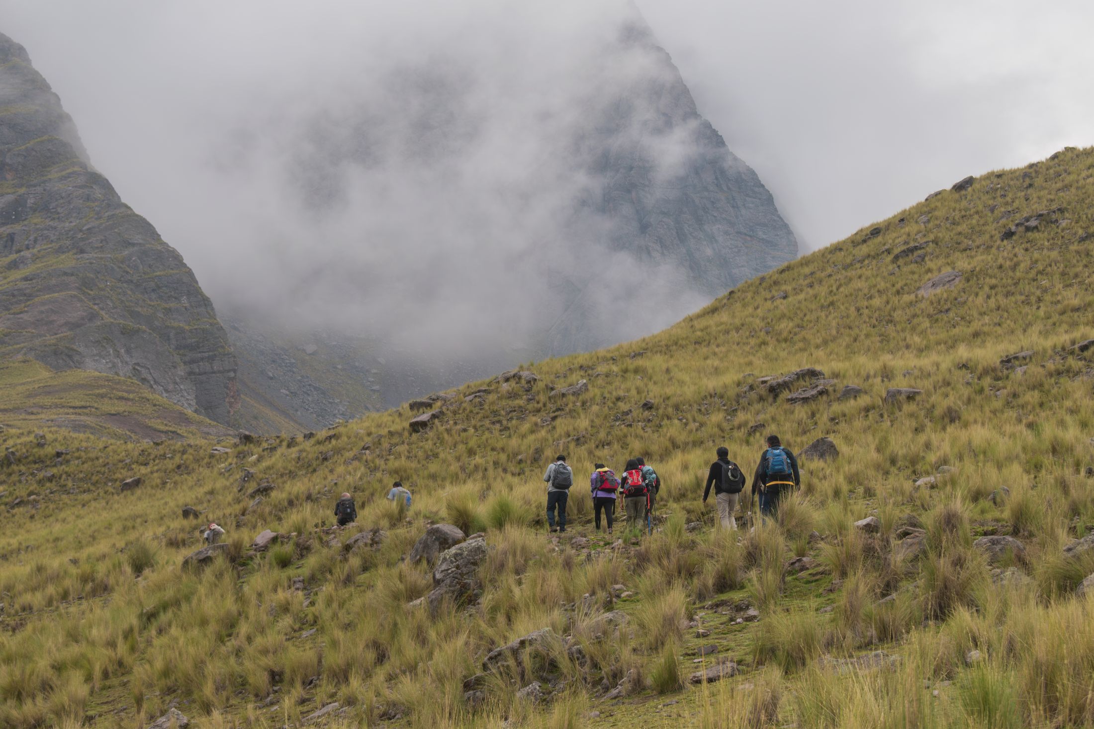
The map shows the ruins a thumb's width from the city, and the map is lying. Between Cachora and Choquequirao lies the Apurimac canyon, deeper here than the Grand Canyon, and the only way across it is down. The trail leaves Cachora in the cold, and within the hour it tips over the rim and begins to fall, switchback after switchback, fifteen hundred metres straight down toward a thread of brown river you hear long before you see it. The bends are worth counting for a while. Then the heat comes up off the canyon floor to meet you, and counting stops.
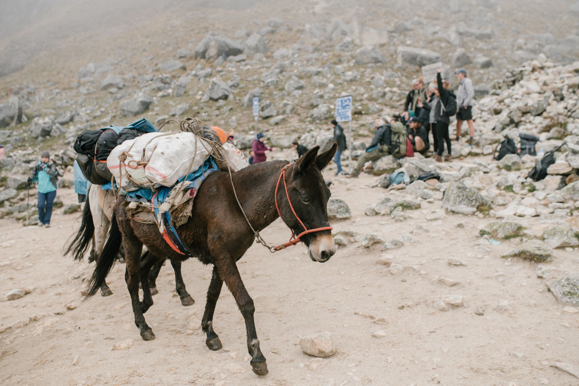
The river is the easy part. The Apurimac runs fast and silt-brown at the bottom of its own enormous wound in the earth, and a footbridge takes you across it in under a minute. Everything before it is descent; everything after is the opposite. The far wall climbs eighteen hundred metres to the ruins, and there is no shortcut up it, no cogwheel, no engine, nothing but your own legs and the switchbacks. Mule trains do most of the carrying, and walkers stand aside for them where the trail narrows, the muleteers calling softly, the animals picking the same line their grandfathers' animals picked.
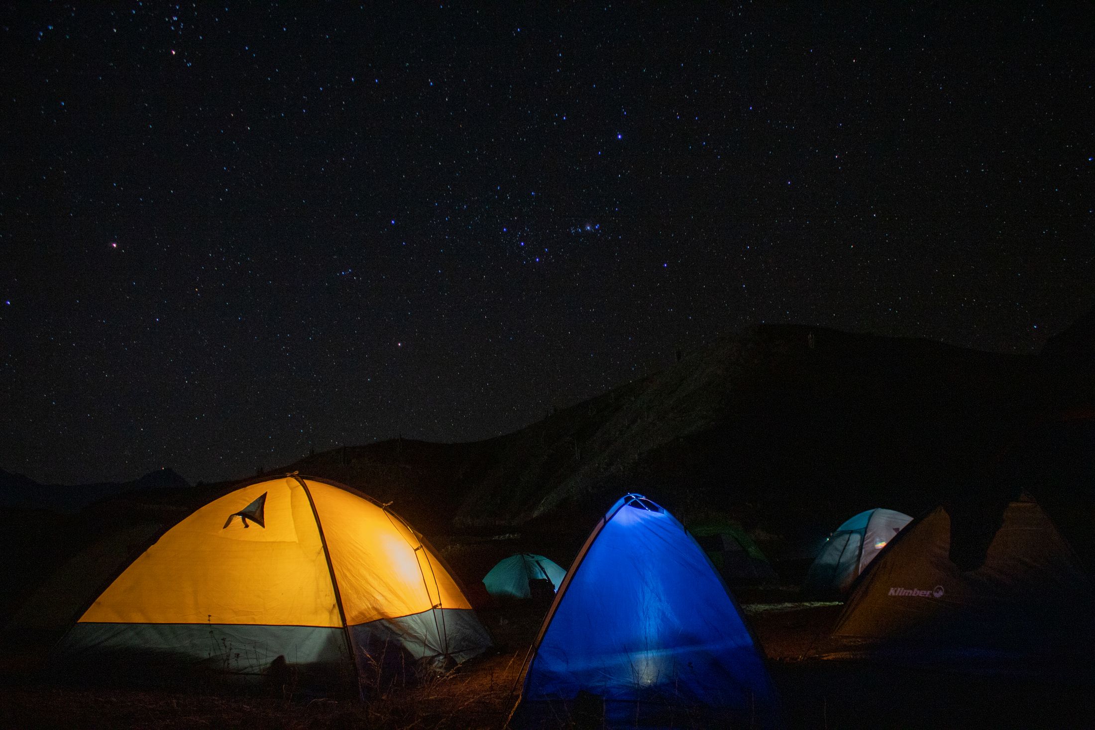
Two days of walking means two nights on the trail. You sleep in a tent on a green shelf cut into the canyon wall, the river a black seam somewhere below and the far side of the gorge a wall of nothing, and after dark there are more stars overhead than you know what to do with. The last green shelf is Marampata, reached at the end of a distance a condor would manage in minutes.
Choquequirao sits at just over three thousand metres, on a spur with cloud sliding through it, and the first surprise is how much of it is still not there. Archaeologists have cleared perhaps a third of the site; the rest is under the forest, terraces and plazas and walls still wrapped in root and leaf where the Inca left them. Walk out onto a ceremonial platform and the ground simply ends in a sheer drop, and across the gulf are mountains and more mountains, no town, no road, no wire. The Spanish never found this place. From the highest terrace, with the whole canyon falling away below, the reason is plain: it was built to be unreachable, and it has stayed that way.
The site took shape in the fifteenth century, the same restless burst of building that raised Machu Picchu two valleys to the north, a royal estate set on purpose at the far edge of the empire. When the Spanish came and the Inca fell back into these mountains, Choquequirao became a refuge and a checkpoint on the road to Vilcabamba, and it was still lived in when the last Inca was put to death in 1572. After that it was simply left, and the cloud forest closed over it. It stayed closed until 1909, when Hiram Bingham mapped it, then walked on to Machu Picchu two years later and handed that one to the world. This one he left where it lay, and where it has mostly stayed.
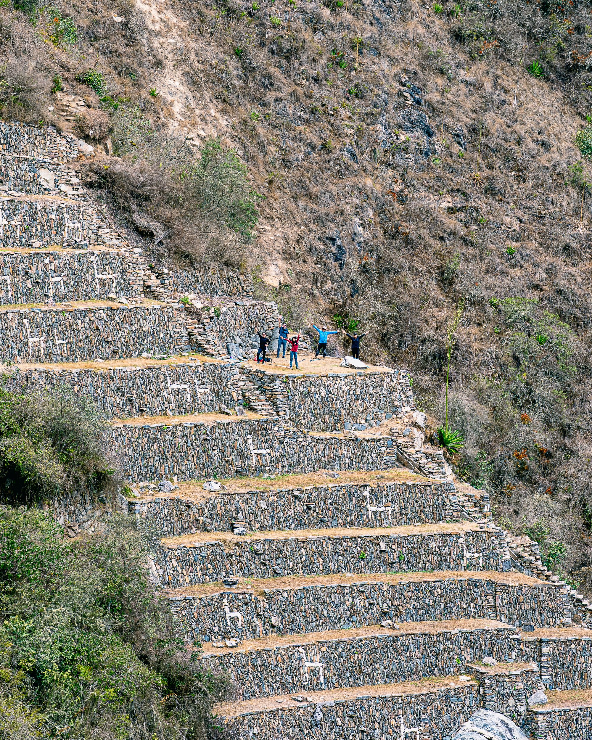
Cut into the steepest flank, a hard hour down from the main site and a harder one back, are the terraces the place is known for. Pale stones are set into the dark retaining walls in the shape of llamas, a whole procession of them climbing the hillside, each animal picked out in white against the grey, a herder at the front and the line running up the terrace like a held breath. Archaeologists only freed them from the hillside in 2005, and there is said to be nothing else quite like them anywhere in the Andes. The flank is usually deserted. The name Choquequirao means cradle of gold, and whatever gold was once here went centuries ago, but those white llamas, tended by no one, climbing a wall almost no one comes to see, are the only gold the place has kept.
What you are really buying with all that descent and all that climb is the emptiness. Machu Picchu admits the better part of five thousand people a day; Choquequirao, on a busy one, sees a few dozen. The difficulty is the curator. It lets in only the people willing to give two days to getting here and two to getting back, and that filter has kept the place almost precisely as quiet as it deserves. None of which is likely to hold. For years there has been a plan for a cable car, a quarter of a billion dollars of it, a fifteen-minute crossing that would trade the four-day walk for a turnstile and pour more than a million visitors a year onto this spur. It has not been built. It has not been cancelled either, and the quiet feels borrowed.
So go now, while the only way in is your own two legs and the canyon still does the gatekeeping. Walk down into the heat, cross the brown river, climb the far wall, and stand on a terrace where the ground just ends and the canyon takes over, with the cloud coming through and nobody near you. The trek is not the price of seeing Choquequirao. The trek is the thing that has kept it worth seeing. The day the cable car opens, the ruins will still be here and the white llamas will still be climbing their wall, but the long hard quiet of getting to them, the one thing that makes the place itself, will be the first thing to go.