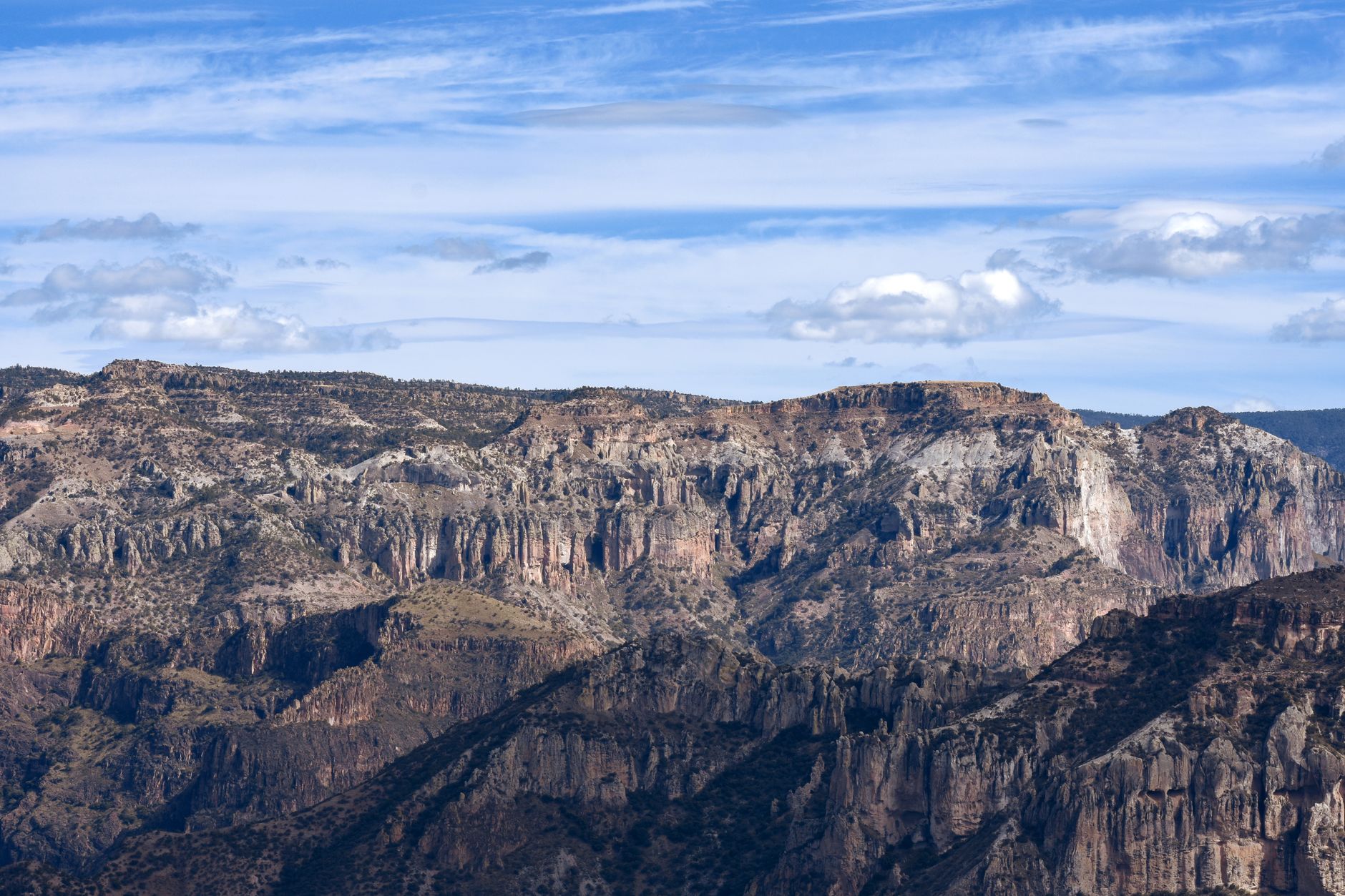
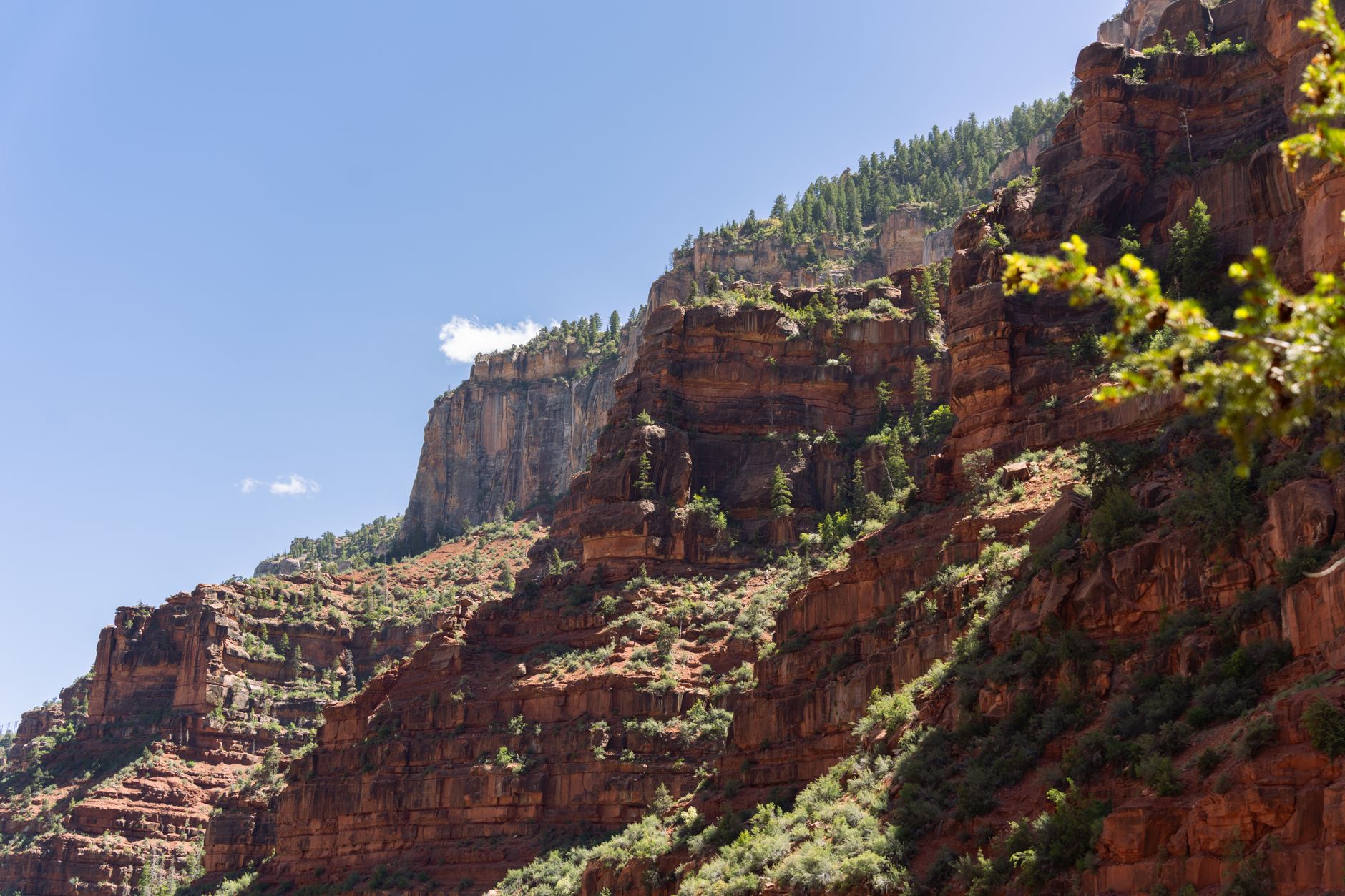
Six rivers run off the western edge of the Sierra Madre in the state of Chihuahua and cut for the Sea of Cortez, and where they cut they have opened six major canyons. Together the Barrancas del Cobre cover about four times the area of the Grand Canyon. The deepest of them, Urique, drops around 1,879 metres, a little further than the Grand Canyon's 1,857. This is one of the largest canyon systems in North America, and almost no one outside Mexico has heard its name.
The reason a traveller can reach it at all is a railway. The Ferrocarril Chihuahua al Pacifico, known to everyone as El Chepe, runs some 653 kilometres over 37 bridges and through 86 tunnels, from Los Mochis near the Pacific up to the city of Chihuahua on the high plateau. It was conceived in the nineteenth century and took roughly sixty years and about ninety million dollars to finish, opening at last in 1961. The line climbs to around 2,400 metres near a rim stop called Divisadero, and it belongs to the short list of passenger railways still worth crossing a continent to ride.
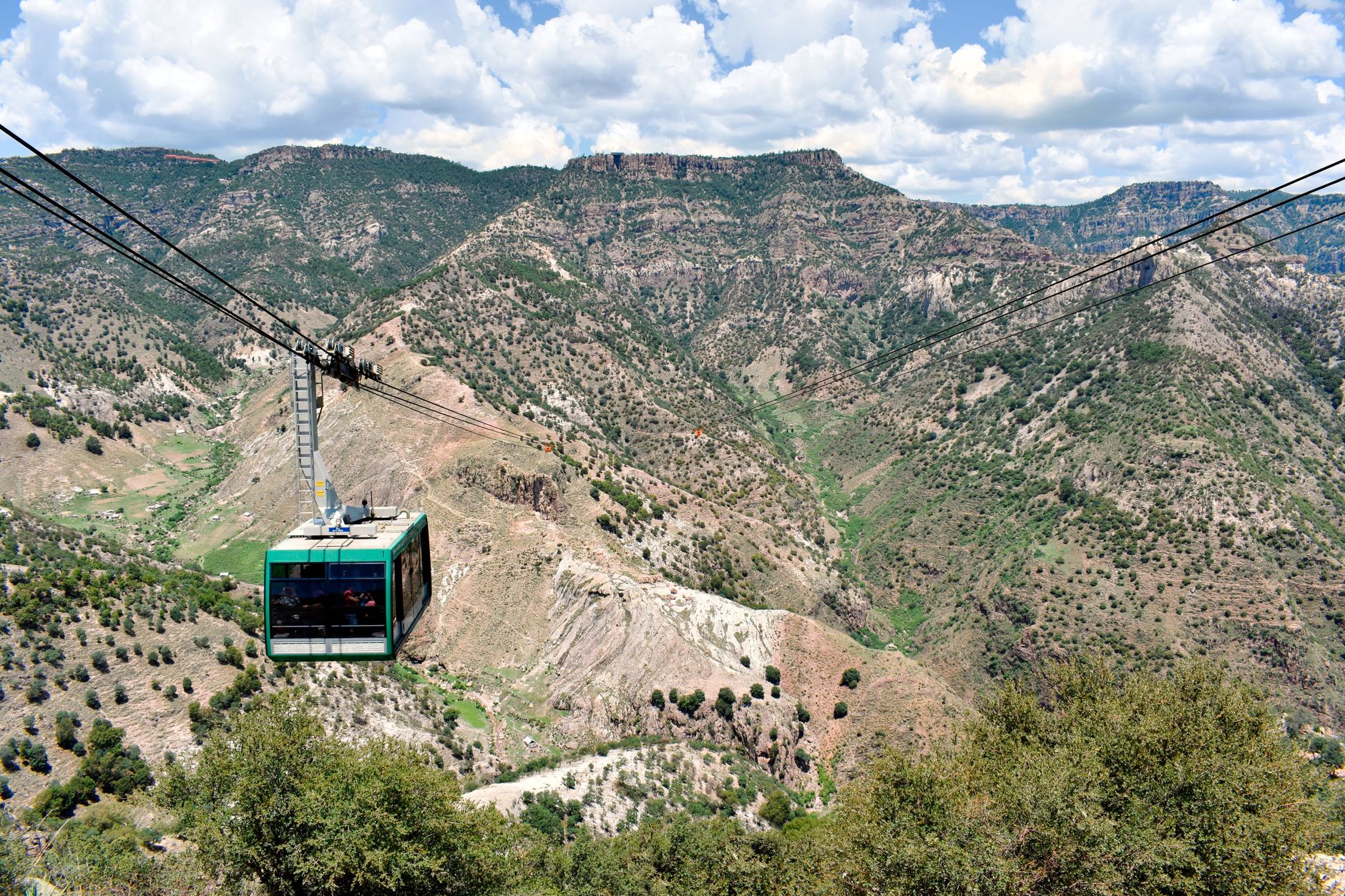
At Divisadero the train halts for about fifteen minutes on the very lip of the gorge, and for most passengers those fifteen minutes are the whole of Copper Canyon. It is not enough. The stop opens straight onto the canyon country, with an adventure park set along the rim: a teleferico cable car that carries riders nearly three kilometres out across the void, and one of the longest ziplines in the world strung from ridge to ridge. On the platform, Raramuri women sell gorditas hot off a griddle to the crowd that spills off the carriages. Those who can spare a night should sleep on the rim rather than watch it go by from a window.
Two trains run the line, and the choice between them shapes the trip. The Chepe Express is the premium service, with tourist, executive and first classes and an open-air terrace car for the drop-offs and the wind, but it runs only on set days and sells out, so seats must be booked ahead at chepe.mx. The Chepe Regional is the economy train: it runs more days, costs a good deal less, is bought at the station rather than online, and stops at more towns because it is the one the people who live along the line actually use. Riding the Regional at least once is the better way to see whose railway this is.
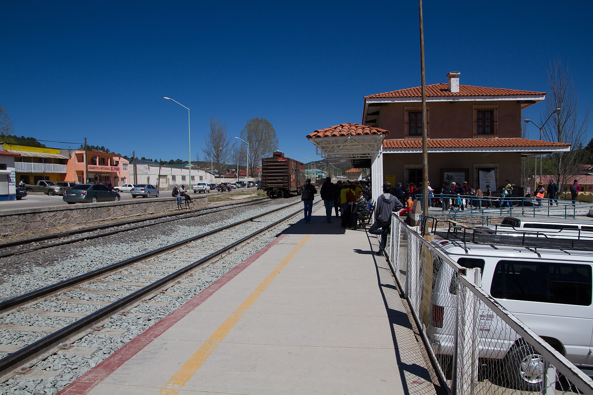
Sixty years and ninety million dollars bought a railway that still runs, above all, for the people who live along it.
The main base for the canyons is Creel, a former logging and mining town that sits in pine forest at about 2,340 metres, cold at night and full of woodsmoke. From here run the side trips: the strange rock formations of the valley outside town, the lakes, and the long descent to Batopilas. That descent is the reason to linger. Batopilas is an old silver-mining town at the very bottom of a canyon, reached by a four-hour drive from Creel down a road credited with more than 3,500 curves, and it is among the most isolated colonial towns in Mexico. The drive is the experience as much as the town at the end of it.
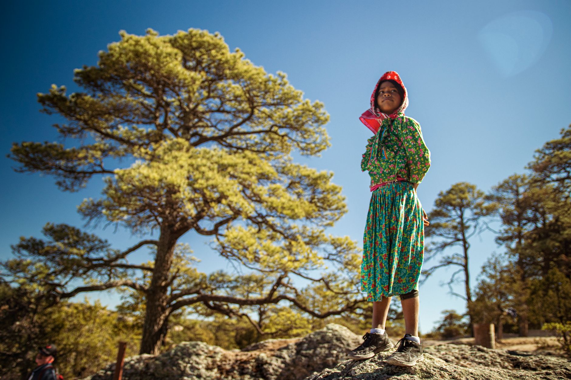
This is Raramuri land, and it is theirs first and a scenic railway second. The Raramuri, known to outsiders as the Tarahumara, number somewhere between fifty and seventy thousand and are among the largest Indigenous peoples in Mexico. They call themselves the foot-runners, and the name is earned: they cover extraordinary distances across this broken country on foot, in thin huarache sandals, over ground where a neighbour may live a full day's walk away. They are not scenery and not a hardship to be photographed. A traveller who buys their food, respects a closed door and asks before raising a camera will do right by the place.
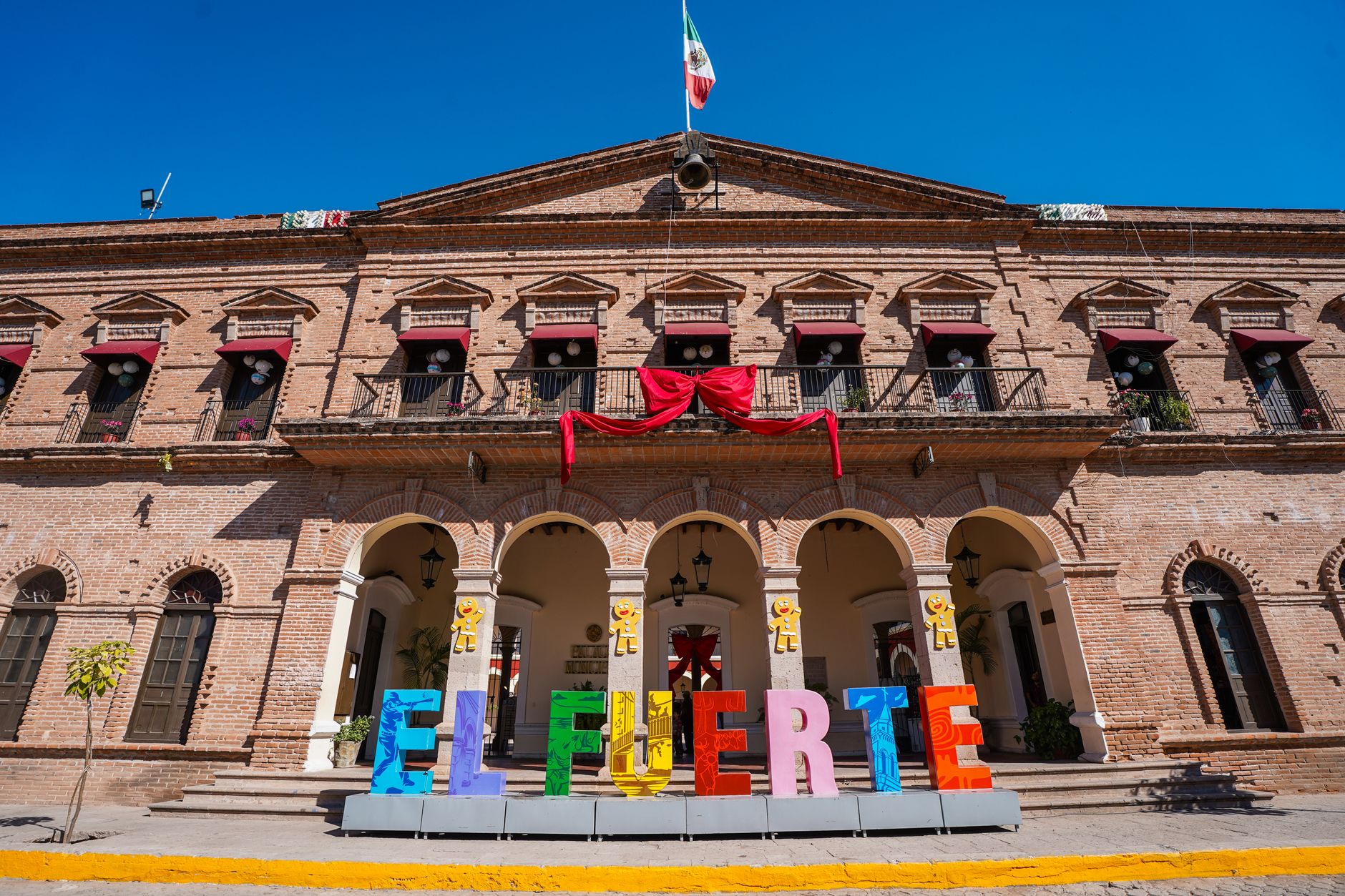
The gentler end of the line, and the better place to begin, is El Fuerte, a colonial town set near the Pacific before the track starts to climb. Read west to east the journey builds: warm lowland town, the great ascent through tunnel and bridge, the rim, the pine country and the canyon floor, the plateau. The sensible way to take it is in stages, over four to six nights, breaking the ride rather than sitting out the full run in one day. Spring and autumn are the seasons to aim for. Summer brings the rains, and winter can lay cold and snow across the rim.
A few practical warnings hold. The tourist corridor, meaning the train itself and the towns of El Fuerte, Divisadero, Creel and Batopilas, is well travelled and considered safe, and it is where a first visit should stay. The remote reaches of the sierra are another matter and should not be hiked without a local guide, and Chihuahua state carries travel advisories for some areas that are worth checking before setting off. Book the Chepe Express in advance at chepe.mx; buy the Regional at the station on the day. The line has been carrying passengers into these canyons since 1961, and for now it still does.