A weather station on the Piz Pisciadu, at 2,985 metres on the rim of the Sella plateau, records a tundra climate. Mean temperatures climb above freezing only in the summer months, and even then they hover between three and five degrees. Winter means run to minus eight or ten. A chairlift out of Corvara, down on the valley floor at 1,568 metres, will put a walker within a couple of hours of that reading on a July afternoon in a t-shirt, which is why a fleece and a windproof earn their space in a summer daypack here.
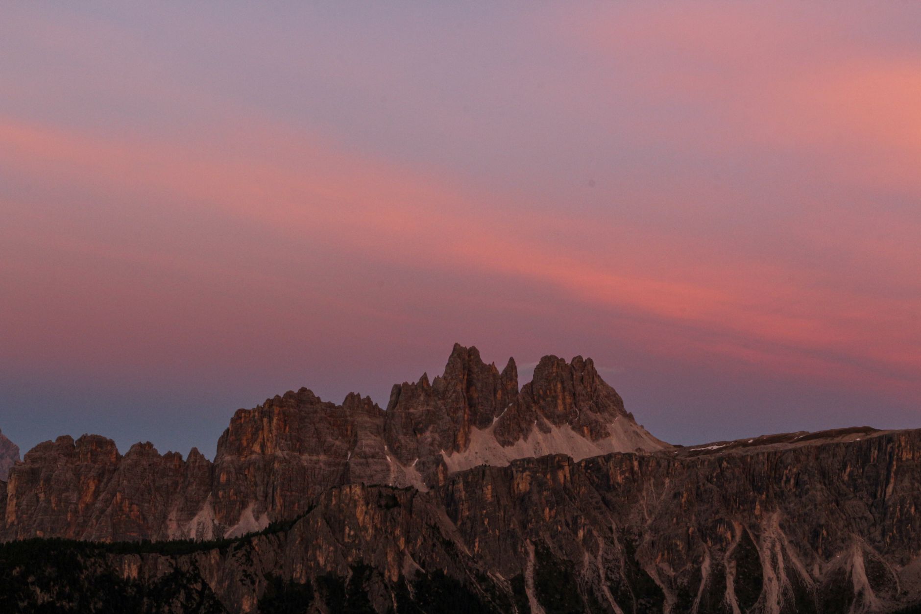
What most people come for is a light with a Ladin name. Enrosadira means turning pink, and it describes what pale dolomite does when the sun sits low enough that its rays travel a long slant through the atmosphere. The cooler wavelengths scatter out, the warm ones survive the journey, and pale dolomite returns them at an intensity granite never reaches. The walls flush rose, deepen towards violet, then go flat grey, and the whole sequence can be finished inside ten minutes. No two evenings look the same, because the effect depends on the sun's angle, the clarity of the air and whatever cloud happens to be in the way. The older name for these peaks was Monti Pallidi, the Pale Mountains, after the grey they hold for the rest of the day.
The Ladin explanation came first. King Laurin ruled a hidden kingdom in the Catinaccio, and his rose garden gave him away. A prince from the Latemar found the garden and carried off Laurin's daughter, so the king cursed the roses to be invisible by day and by night, forgetting dusk. The valley has been telling that one for a long time and nobody tells it quite the same way twice.
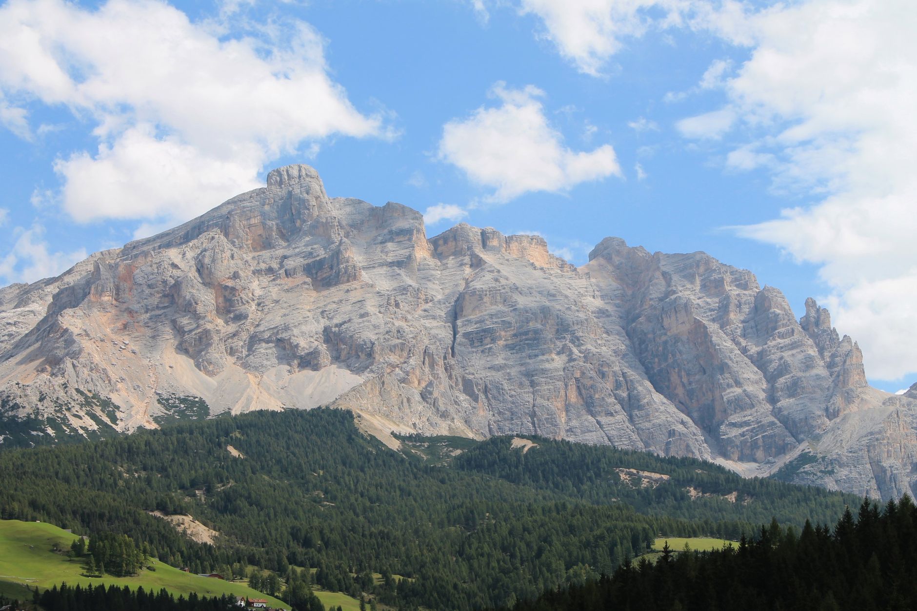
The rock underneath it is Triassic, a calcium magnesium carbonate that formed as reef and lagoon in a warm shallow sea more than 200 million years ago, then was lifted and fractured into towers rather than worn into domes. Both the rock and the range carry the name of the French mineralogist Deodat Gratet de Dolomieu, who identified a carbonate that would not fizz properly in weak acid. UNESCO inscribed the range in June 2009: a series of separate mountain groups, about 142,000 hectares, cited for geology, palaeontology and natural beauty.
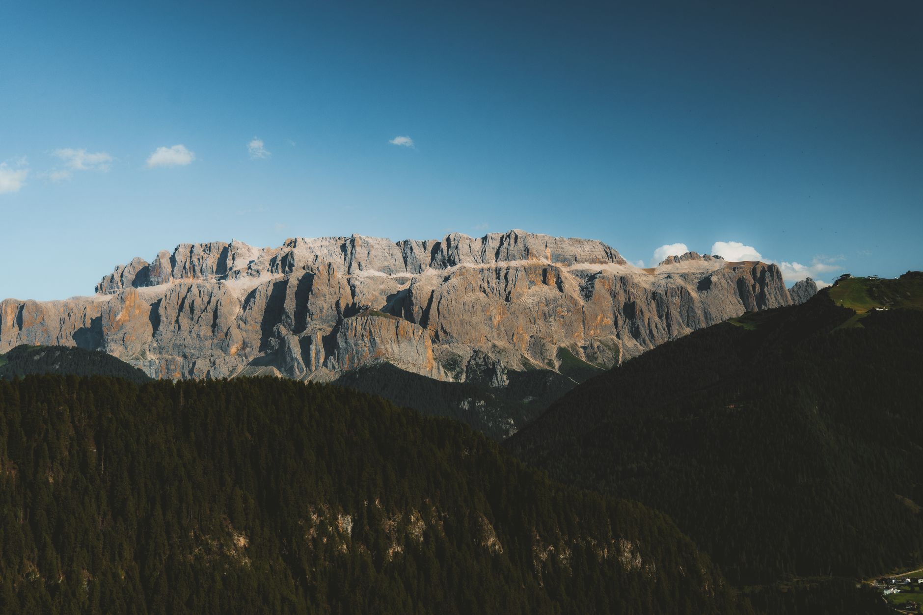
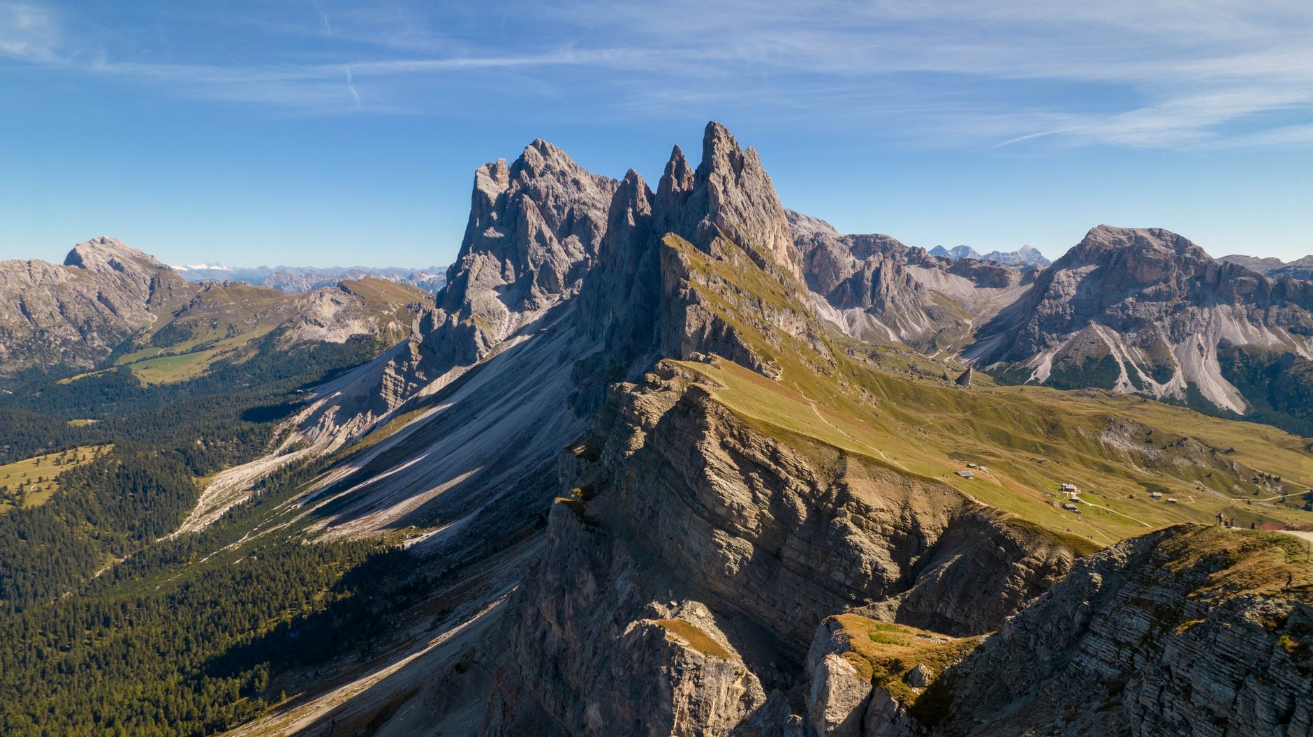
Alta Badia's defining mass is the Sella, a plateau ringed by cliff and flat enough on top to walk across. Piz Boe, its highest summit at 3,152 metres, carries a hut, Capanna Piz Fassa, small and rustic, no showers, mobile signal that comes and goes. Reaching it in daylight is straightforward. Reaching it at either edge of the day is a scheduling problem.
The Lagazuoi cable car above Passo Falzarego lifts a passenger more than six hundred vertical metres in about three minutes, and in summer 2026 it runs from 6 June to 18 October, on a daytime timetable that starts around nine in the morning and sends the last cabin down around five. Enrosadira happens in the half hour before the sun clears the eastern walls and the half hour after it leaves the western ones. A day run on lift hours therefore begins and ends inside the grey part of the day. Catching either glow means booking a bed above the lift station.
The hut network is the other piece of infrastructure, and it runs on its own set of rules. Half board is the default and dinner is served at a fixed hour, commonly around half past six, with assigned seating. Arriving after six risks the meal and sometimes the bed. Beds carry blankets but no sheets, so a sleeping bag liner is required at most huts.
Quiet hours begin at ten and are not always observed, so earplugs are worth the pack space. Showers are coin-operated and buy two or three minutes of hot water, and at altitude they are shut off entirely when the tank runs low. At Lagazuoi the shower water is snowmelt pumped uphill from the pass, which is why it is charged for. Many huts take cash only and their card readers cannot be relied on, so the money for a whole traverse should be carried in from the valley. Drinkable tap water is not universal either, and bought bottles at 2,500 metres cost real weight as well as euros.
The hut system is what puts a walker on the mountain during the two hours the range is famous for.
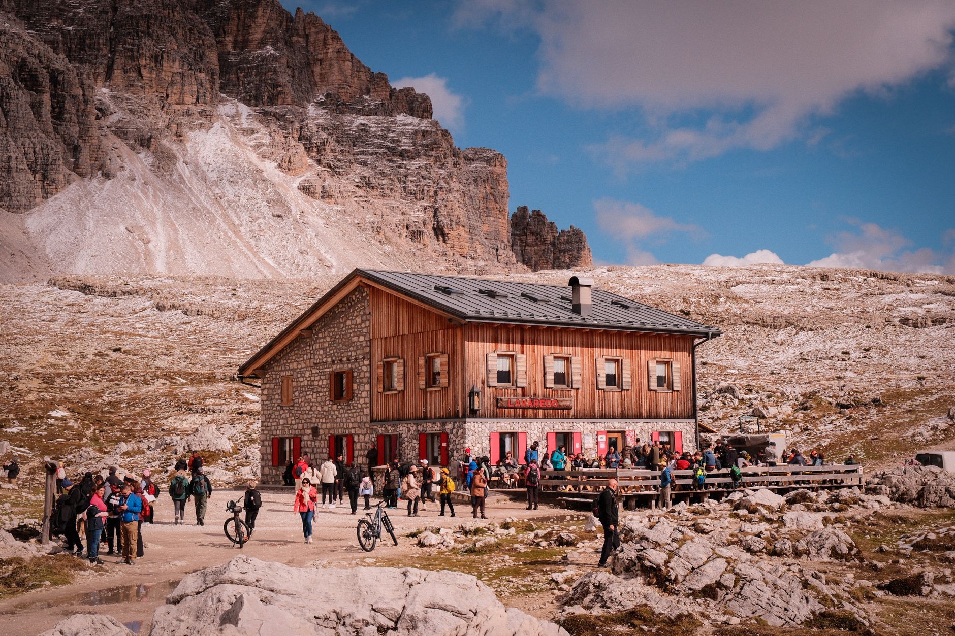
There is no central booking system and no single trail ticket. Each hut is reserved individually, and demand is wildly uneven. For the marquee Alta Via routes, correspondence starts in the autumn before the summer in question, and the best-known huts go first: a summer room at Lagazuoi has been reserved six months in advance. A quieter Alta Badia loop generally needs a few months.
Solo walkers carry far more slack than pairs: a single bed can often be found at short notice even in August, while two people should not gamble on it. The reliably quiet stretch of the open season is late June to mid-July, and that is the window where walking up without a reservation can actually work. The other good bet is the first half of September, which holds August's trail conditions with a fraction of the people, at the cost of a real chance of snow on the high passes.
Cable systems here are maintained during the season, not outside it. Crews dismantle and rebuild sections of via ferrata in mid-summer, and a route can be closed on the morning without notice, so any ferrata day needs a walking alternative attached to it.
Afternoon thunderstorms are the June and July pattern, reliable enough that the working rule is to start at first light and be off exposed ground by early afternoon. Midsummer hail at altitude is not unusual and has pushed parties off cabled routes in the middle of them. September brings a hazard of its own: a snowfall somewhere in the month is close to routine, usually clearing in two or three days, but capable of erasing the painted trail markings on high passes for as long as it lies. Walkers report losing the line on Alta Via 1 in early September and reaching the hut on luck.
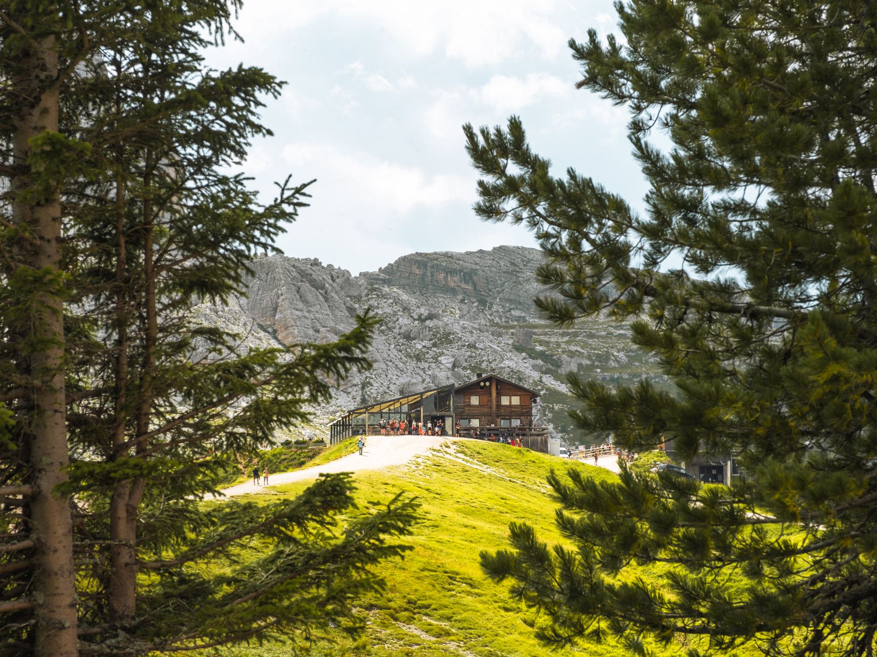
The Pralongia and Cherz plateaus above Corvara are open pasture, grazed by cattle, with a horizon filled by the Sella. They carry a fraction of the traffic that the photogenic lakes and towers further north absorb. Lifts shorten the days: the Boe cable car and the Vallon chair out of Corvara, the Costoratta and Bec de Roces chairs from Passo Campolongo on paths 638 and 637, the Col Pradat lift above Colfosco. The Alta Badia summer lift season runs from mid-June to early October, and outside that window the high country is shut, with the buses thinned out to match.
The Sassongher, 2,665 metres and roughly 1,100 above the valley floor, is the one hard hour on an otherwise soft week. The circuit from Col Pradat above Colfosco is a half day of roughly nine kilometres, and the last stretch to the summit is a short cabled rock step, technically undemanding and passable without gear by plenty of walkers. The rock is crumbly and the genuine risk is stonefall from the party above, which is why the helmet is the item worth carrying even when the harness stays in the room.
Hut kitchens two and a half thousand metres up turn out canederli, barley soup and kaiserschmarrn, cooked by families who run the place through the season and shut it in October. The valley they belong to speaks three languages at once. Alta Badia is one of the strongholds of Ladin, a Rhaeto-Romance tongue with Roman-era roots still spoken in the valley, which is why the trail sign, the menu and the conversation at the next table will not always agree on what a place is called. A mountain hut is a rifugio in Italian, a Hütte in German and an ütia in Ladin. Alta Badia signposts carry all three.