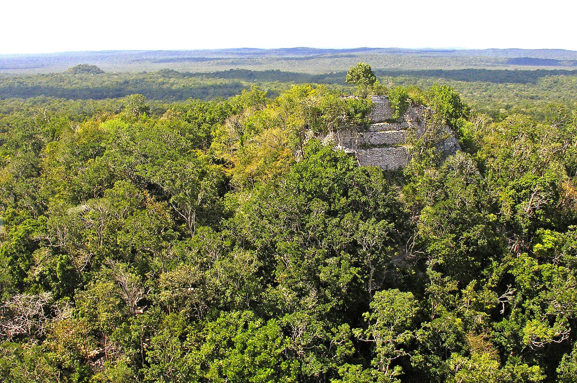
El Mirador is the largest of the Preclassic Maya cities, a capital that flourished in the jungle of northern Guatemala more than two thousand years ago, older and larger than Tikal. It is also one of the hardest major sites in the Maya world to reach. There is no road to it and there never has been. Getting there means a five-day trek on foot through the Peten forest, or a costly helicopter, and it is the walk that has kept the place quiet.
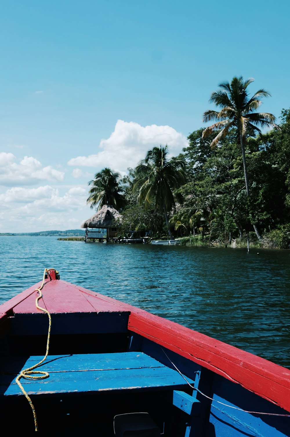
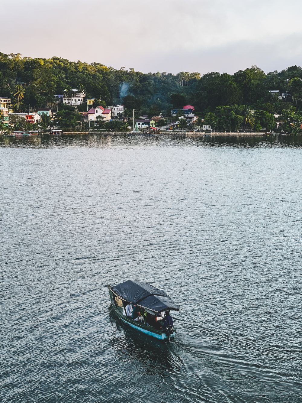
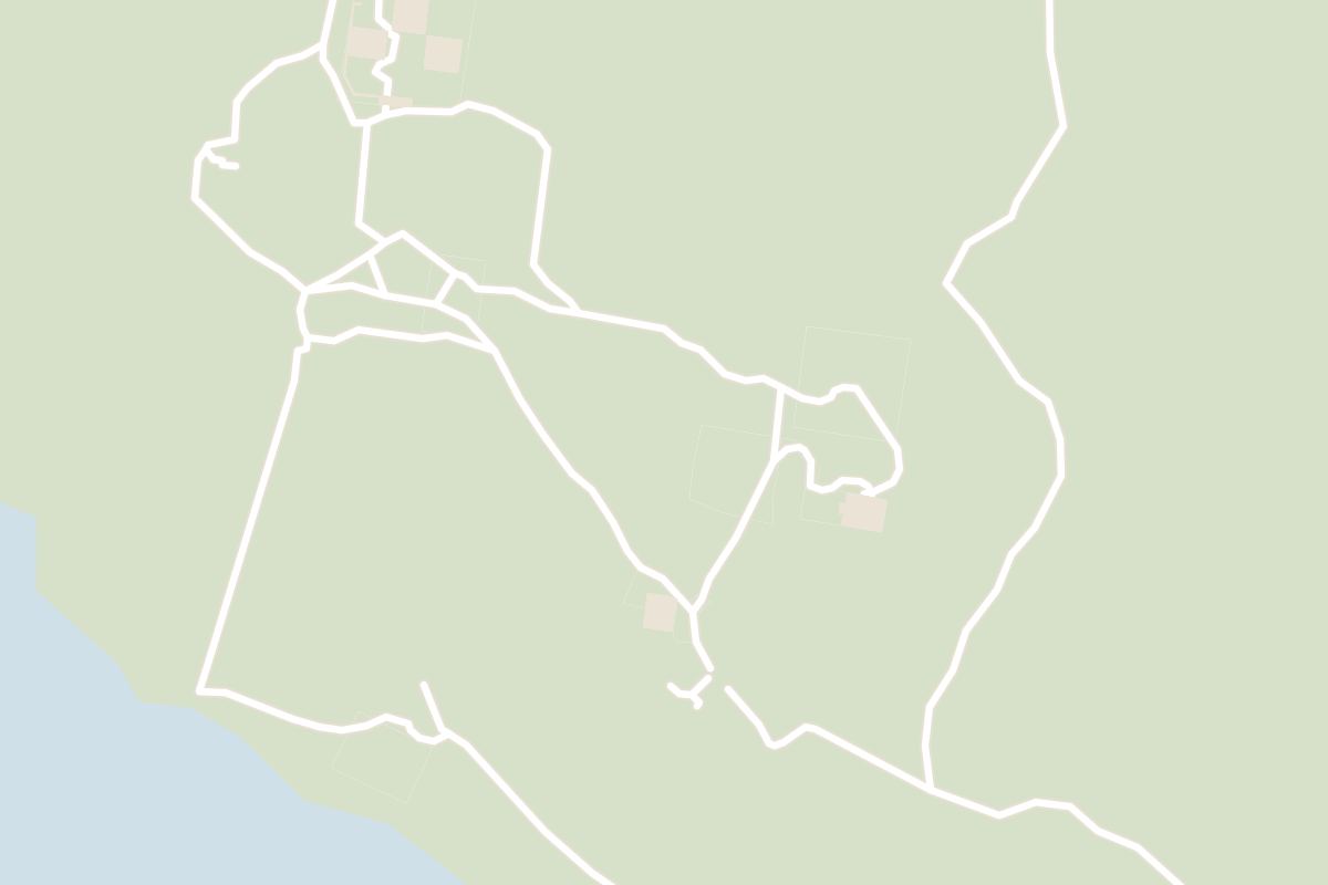
The journey starts in Flores, the lake town in the Peten reached by a short flight from Guatemala City. From Flores it is a two to three hour drive north to Carmelita, the last village on the road and the trailhead. Treks are run by the community cooperative in Carmelita, which provides a guide, a cook, and an arriero with mules to carry the food, water and tents. Booking directly with the cooperative keeps the cost down and the money in the village that guards the forest. Independent trekking is not permitted.
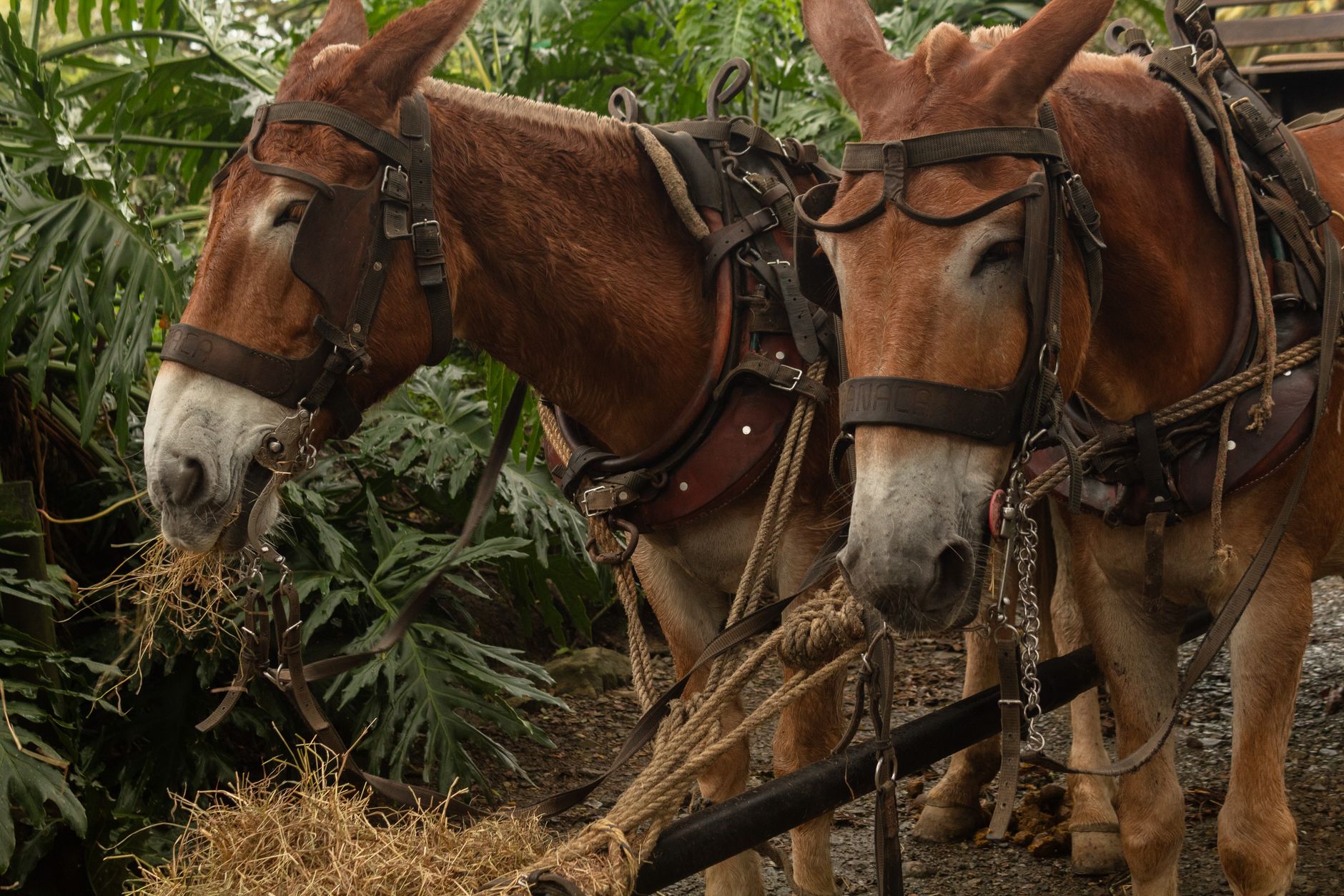
The standard trip runs five days and four nights and covers roughly a hundred kilometres there and back. The first day leads from Carmelita to a camp at El Tintal, itself a buried Preclassic city. The second, the longest, pushes on to El Mirador, part of it along an ancient raised causeway. The third day is spent among the ruins. The fourth and fifth retrace the route out. Mules carry the loads; trekkers walk with only a day pack.
The difficulty is the conditions, not the terrain, which is flat. Expect heat near forty degrees and heavy humidity, and, on the trail, grey clay mud that can reach the knee after rain. Nights are spent in hammocks or tents under simple shelters, with water drawn from camp reservoirs and filtered. Howler monkeys wake the camp before dawn. Boots that drain rather than hold water, quick-dry clothes, electrolytes and a light rain shell all earn their place.
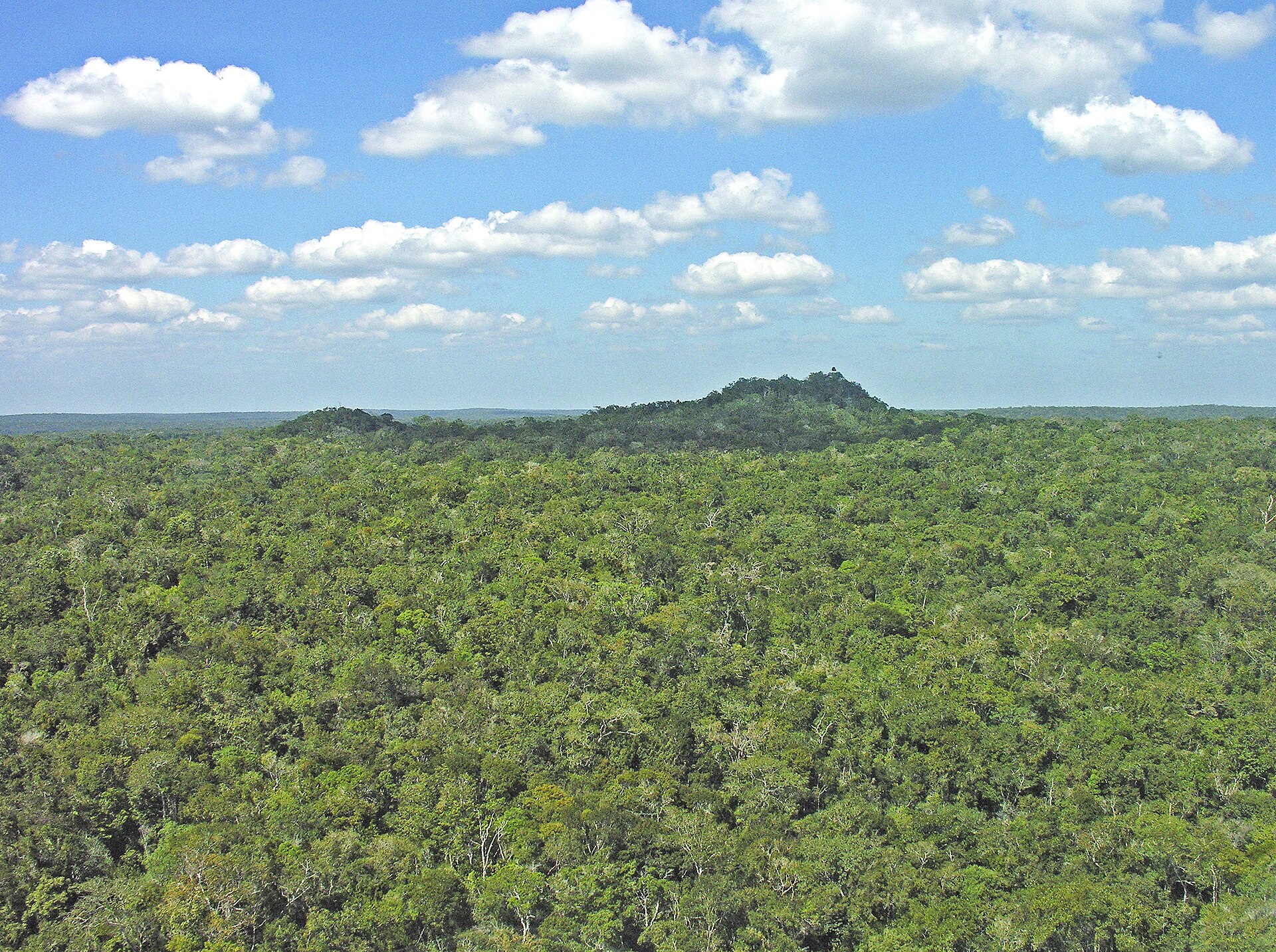
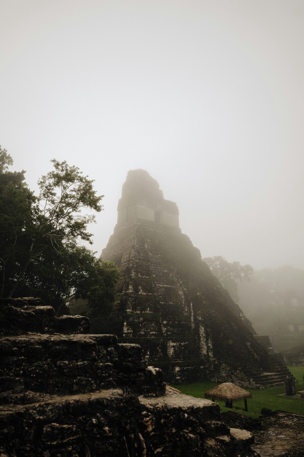
The site itself rewards the third day. Most of the city is still buried in forest: green mounds that are really temples, and raised white causeways, the sacbeob, running for kilometres under the canopy toward ruins days away. At the centre stands La Danta, one of the most massive structures the ancient world ever built. By volume its bulk rivals the Great Pyramid of Giza, though the pyramid at Cholula in Mexico is larger and Giza is taller. El Tigre, fifty-five metres high, stands on the western side.
By sheer volume, the pyramid of La Danta rivals the Great Pyramid of Giza.
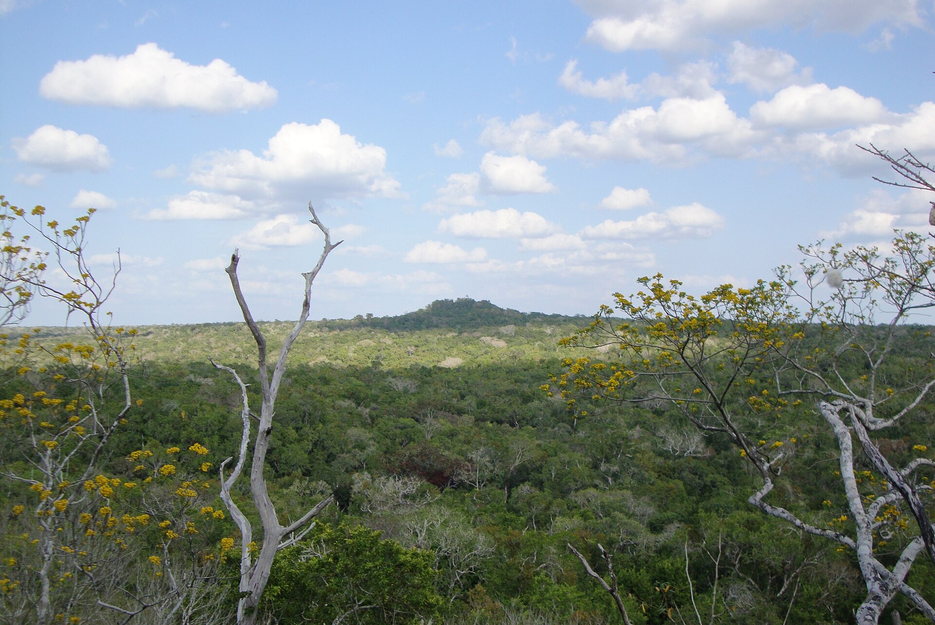
The set-piece is dawn on La Danta. Trekkers climb it in the dark to reach the summit as the light comes up, level with a canopy that runs unbroken to the horizon and the crowns of the other pyramids breaking the green. El Tigre gives the sunset. Lower down, under a protective shelter, a carved stucco frieze shows the Hero Twins of the Popol Vuh, among the earliest known depictions of the Maya creation story. Archaeologists led by Richard Hansen have mapped the city for decades, and an aerial laser survey has since revealed thousands more structures across the wider Mirador basin, an engineered Preclassic landscape hidden under the trees.
Go in the dry season, roughly November to April; the rains can leave long stretches of the trail underwater and impassable. Change may be coming: there is a long-running proposal to run a light railway in along the ancient causeways and bring visitors by the thousand, backed by some as the way to fund the forest's protection and opposed by the Carmelita community and conservation groups, who argue it would damage the forest they have kept standing. For now the five-day walk remains the only real way in, and it is worth making before that changes.