At about half past ten on the morning of 30 June 1956, a TWA Super Constellation and a United DC-7 flew into each other above the eastern Grand Canyon. All 128 people aboard the two aircraft died. Neither pilot had done anything unusual: both were in uncontrolled airspace, flying under the see-and-be-seen convention that governed most of the American sky, and both had asked for altitudes that put them over the same stretch of canyon at the same time. The public would not accept it. Within two years Congress had created the Federal Aviation Agency and funded a national radar-based control system, and the way aircraft are separated over most of the world now traces back to a collision above this hole in the ground.
The size facts come next, and they are the ones most often oversold: about 277 river miles long, roughly 10 miles across on average and about 18 at its widest, and something close to a mile deep. Tibet's Yarlung Tsangpo gorge is both longer and close to three times deeper, so the brochure claim to the deepest or longest canyon belongs to Tibet. What the Grand Canyon has is exposure: close to forty rock layers laid out in one view, in bands a visitor can count from a railing.
Read from the bottom up, the sequence runs like this. The dark, twisted basement rock at river level, the Vishnu Schist and the Zoroaster Granite, was metamorphosed around 1.75 billion years ago. Above it stack close to forty identified layers, ending at the pale Kaibab Limestone that forms the rim, which is roughly 270 million years old and was laid down in a shallow sea. The canyon itself, the space where all that rock is not, was cut by the Colorado River largely within the last five to six million years. The walls run from the Precambrian to the Permian. The space between them is Pliocene.
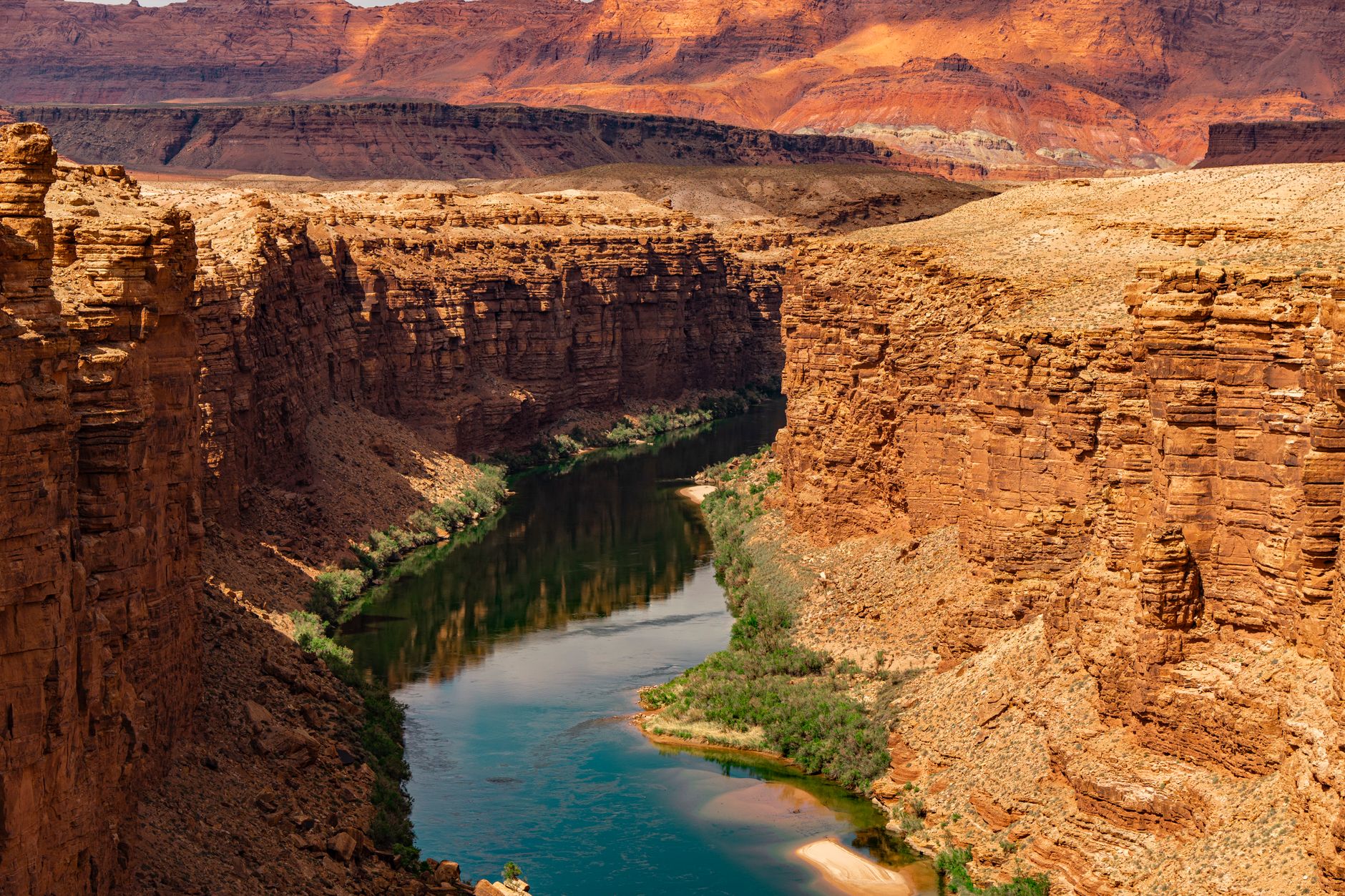
One line in that stack is more famous among geologists than any viewpoint. Roughly halfway down, the Tapeats Sandstone, about 500 million years old, sits directly on basement rock more than a billion years older. The rock that should fill the interval is not there. Up to 1.2 billion years of record is missing in a single contact, and the Great Unconformity is one of the most studied absences on earth. What removed it is still argued over. The leading work ties the stripping to the assembly and breakup of ancient supercontinents, Rodinia and possibly the older Columbia, scouring the crust before Cambrian seas laid the Tapeats down, but anyone who states a settled cause is ahead of the evidence.
Down is optional. Up is mandatory. The canyon hands out its easy half first.
The tidy five-to-six-million-year figure is also under pressure. Thermochronology on some segments suggests older paleocanyons, cut in places as much as seventy million years ago, that the modern Colorado later found, linked and deepened into one continuous gorge. That is a live scientific dispute, not a settled number, and it describes a drainage that inherited older holes and joined them up.
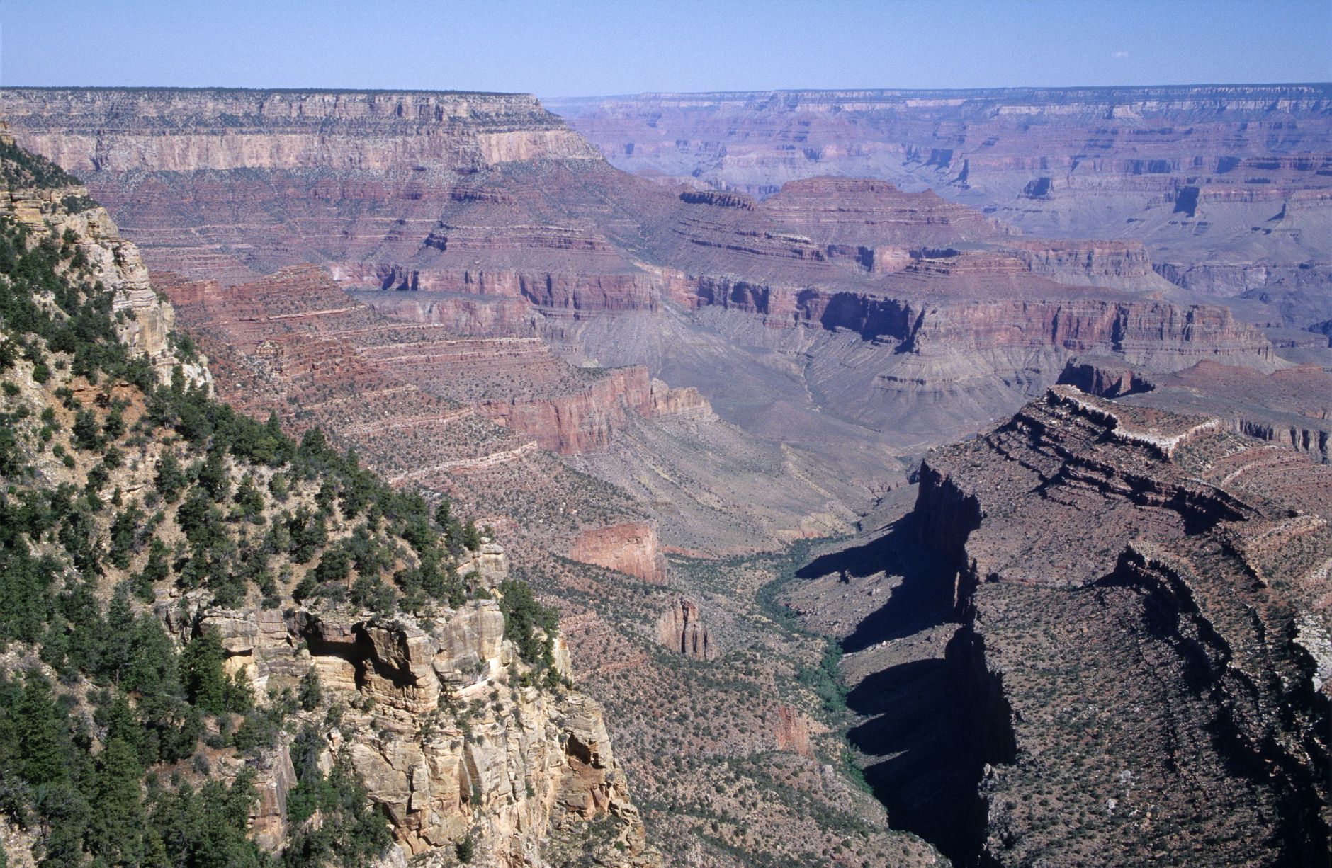
The river visitors photograph is a different river from the one that did the work. Before Glen Canyon Dam was completed upstream in 1963, the Colorado ran near freezing in winter and up to about 29 or 30 degrees in summer, and it carried so much red silt that the Spanish named it for the colour. The dam now releases water drawn from deep in Lake Powell at roughly 7 to 10 degrees all year, and the river below runs clear and green. Native warm-water fish lost the conditions they spawned in, and the endangered humpback chub came close to going before recovering enough to be downlisted to threatened in 2021. The dam also holds back the sand that used to rebuild the canyon's beaches, so managers now stage occasional deliberate floods, releasing high flows to push sediment downstream. Flow, temperature and sediment are all now set by release schedules at the dam.
None of this is empty country, and the park's own signage was slow to say so. Eleven tribes hold the canyon as ancestral, among them the Hopi, for whom it contains the Sipapu, the place of emergence; the Navajo to the east; the Hualapai to the west; and the Havasupai, Havasu 'Baaja, the people of the blue-green water. The Havasupai farmed a green terrace below the South Rim they called Ha'a Gyoh. When the national park was created in 1919 they were pushed off it, and the last resident, remembered as Captain Burro, was forced out in 1928. The site was renamed Indian Garden and stayed that way for most of a century. Congress returned about 185,000 acres to the tribe in 1975, and in November 2022 the US Board on Geographic Names voted unanimously to rename the terrace Havasupai Gardens, which is the name on the trail signs a hiker now walks past.
The canyon's most quoted piece of exploration history carries a useful warning inside it. In 1869 John Wesley Powell, a one-armed Civil War veteran and self-taught naturalist, set out with nine men and four wooden boats down the Green and the Colorado in the first documented passage. Near the end, at what is now Separation Canyon, three of them judged the rapids ahead worse odds than the desert above, climbed out on 28 August and walked away. They died on the plateau. The men who stayed in the boats came out safely two days later. The rescue statistics have repeated the same lesson ever since: the people who get into trouble here are usually the ones who revised the plan partway down.
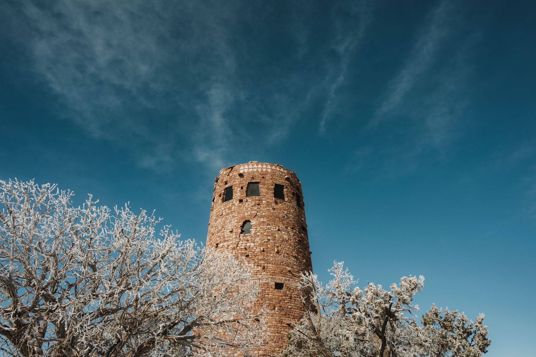
A good deal of what reads as ancient on the South Rim was designed to. Mary Colter, architect for the Fred Harvey Company, spent three decades building an idea of the canyon into it: Hopi House in 1905, Lookout Studio and Hermits Rest in 1914, Phantom Ranch on the canyon floor in 1922, the Desert View Watchtower in 1932 and Bright Angel Lodge in 1935. The Watchtower is a 70-foot homage to Ancestral Puebloan towers, its interior painted by the Hopi artist Fred Kabotie. At Hermits Rest she had soot smudged onto the chimney so the building would look abandoned and reoccupied. Four of her canyon buildings were designated National Historic Landmarks in 1987, so the imitations are now protected in their own right.
The canyon hurts people below the rim, not at it. The trails invert a normal hike: the easy descent comes first, with fresh legs and cool air, and the climb comes last, in the afternoon, on a body that has already spent itself. Park search-and-rescue data shows heat assists climbing sharply once the day passes about 35 degrees, and inner-canyon temperatures on exposed trail can go far beyond that, past 45 in the worst of high summer with almost no shade to stand in. June 2026 made the point four times. On 3 June an 18-year-old man died on the Bright Angel Trail, a mile below Havasupai Gardens, attempting to walk from the rim to the river and back in a day. On 12 June a man of 72 died on the South Kaibab, and four days after that a man of 67 and a woman of 68 died on the North Kaibab. All four were beyond reach before help arrived. The park's rule is blunt and worth taking literally: nobody should try rim to river and back in one day, and being the youngest and fittest person on the trail is not an exemption.
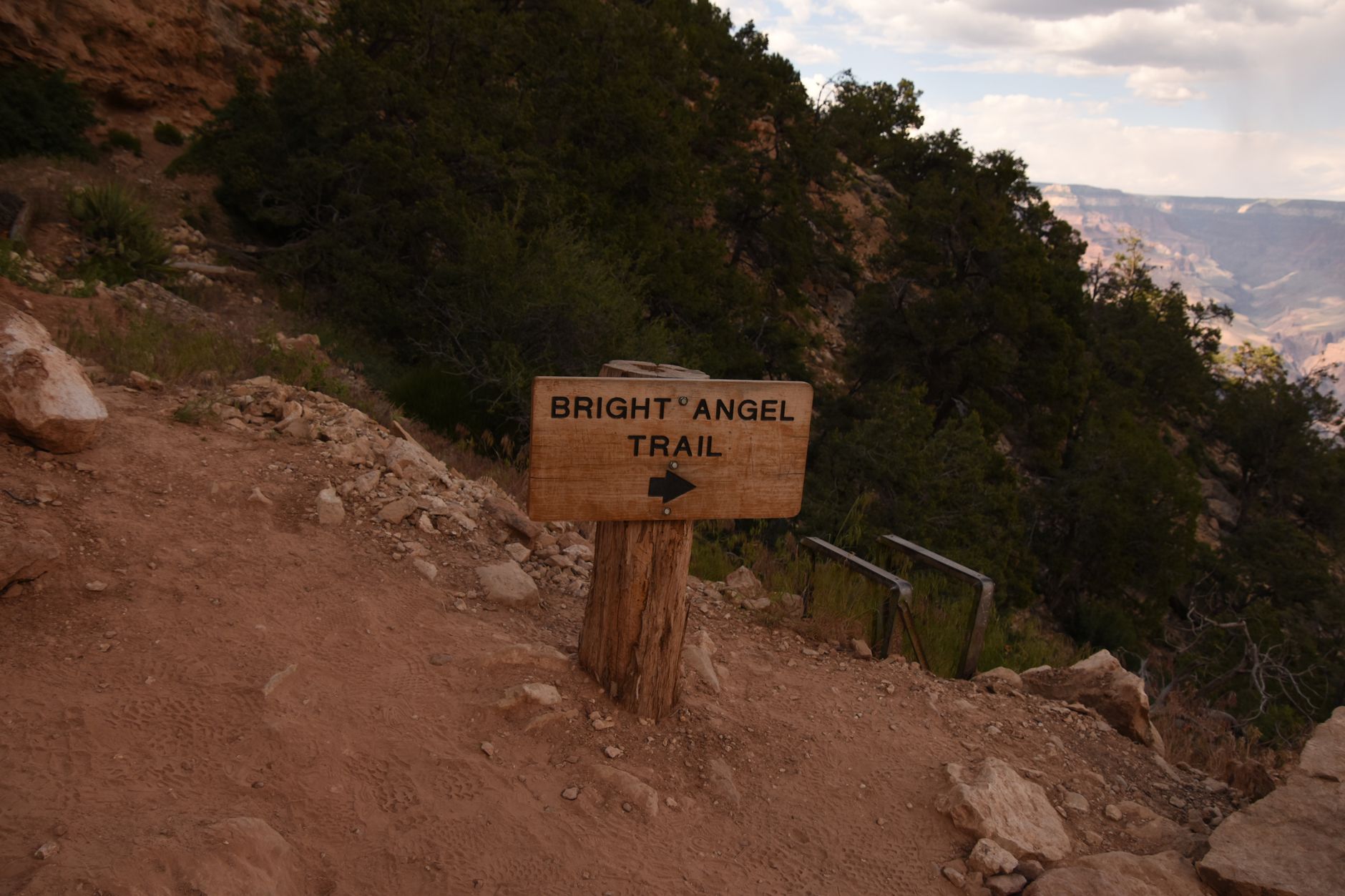
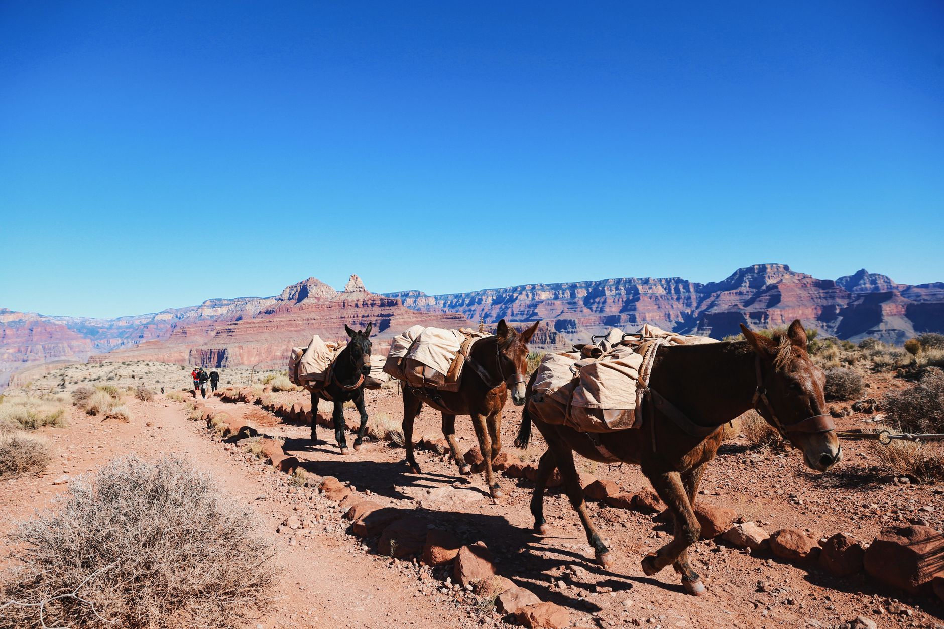
Water, timing and transport are where the trouble starts. First, water below the rim is not guaranteed: the Transcanyon Waterline, a 12.5-mile pipe laid in the 1960s and prone to breaking, is being replaced in a project running to about 2027, and stretches of it go dry during construction phases as well as every winter. Ask at the rim which resthouses are running that week, and do not plan on a tap you have not confirmed. Second, pick a turnaround by the clock and be off the exposed middle of the trail through the hours around midday in summer. Third, park once. The village and Hermit Road run on free shuttles, Hermit Road is closed to private cars for most of the year, and the South Kaibab trailhead has no visitor parking at all, which is deliberate: the park closed it so that hikers arrive on the shuttle.
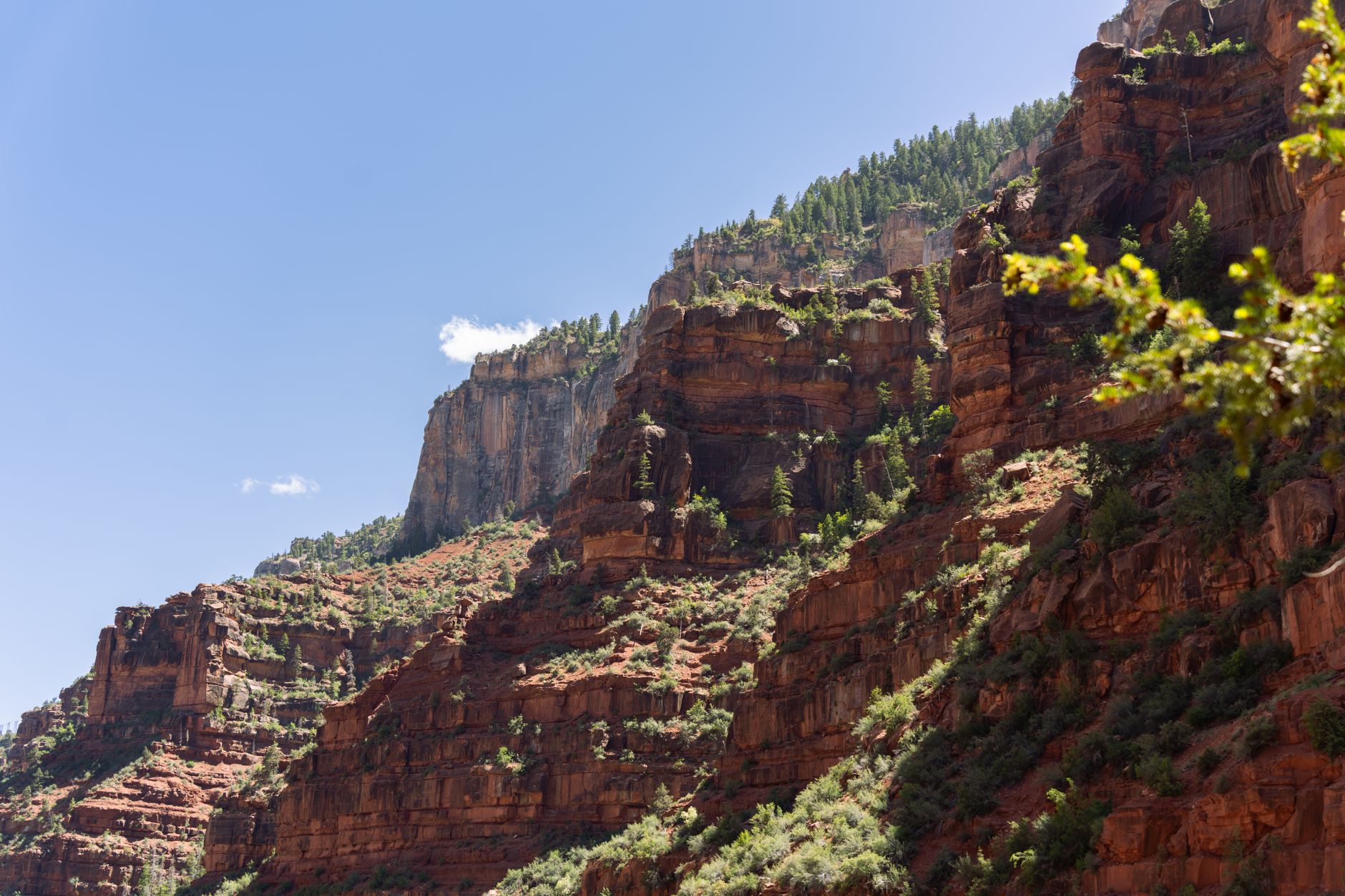
The North Rim is the other canyon, about a thousand feet higher, forested, cooler, and reached by a drive of four hours or more around the gorge. It is also the part of the park that burned. The Dragon Bravo Fire, started by lightning on 4 July 2025, ran through roughly 145,500 acres and on the night of 13 July destroyed the historic Grand Canyon Lodge along with more than a hundred other structures. The rim was shut for the rest of that season. It reopened on 15 May 2026 in a deliberately reduced form. The paved roads and the classic viewpoints are back, Highway 67, Cape Royal, Point Imperial, Angels Window and Roosevelt Point among them, and the North Kaibab Trail is walkable with repairs ongoing and stock use suspended for the season. What is not back is most of what makes a base, and one absence matters more than the rest: there is no potable water anywhere on the North Rim through the 2026 season, including at the North Kaibab trailhead, so every litre has to be carried in or bought at the general store. There is no lodging inside the park and no visitor centre. The North Rim Campground did reopen on 1 June 2026 through Recreation.gov, fuel is available from pay-at-the-pump stations, and the store beside the campground selling water and food is the whole of the catering. Cottonwood Campground below the rim takes backcountry permits, and the nearest beds outside the boundary are Kaibab Lodge, about eighteen miles from the rim and seasonal, or Jacob Lake Inn, about forty-four miles out and open all year. Anyone planning the North Rim in the next couple of seasons should treat the park service status page as the only current source.
Below the rim, the one bed on the canyon floor is Phantom Ranch, Colter's 1922 cluster of cabins beside Bright Angel Creek, which reopened on 1 November 2025 after the waterline work. It is allocated by a lottery that opens roughly fifteen months ahead, so it belongs to plans made more than a year out, not to a trip being booked now; cancellations occasionally shake a bed loose, but no itinerary should assume one. Camping at Bright Angel or Havasupai Gardens needs a backcountry permit. River trips through the canyon run from three or four days up to a fortnight and book out a season or more in advance. And the turquoise waterfalls that appear in every Grand Canyon image search, Havasu Falls, are not in the national park at all: they are on Havasupai land, need a separate permit from the tribe rather than the park, involve an overnight, and sit at the end of a walk of eight miles each way to Supai, ten to the campground below the falls.
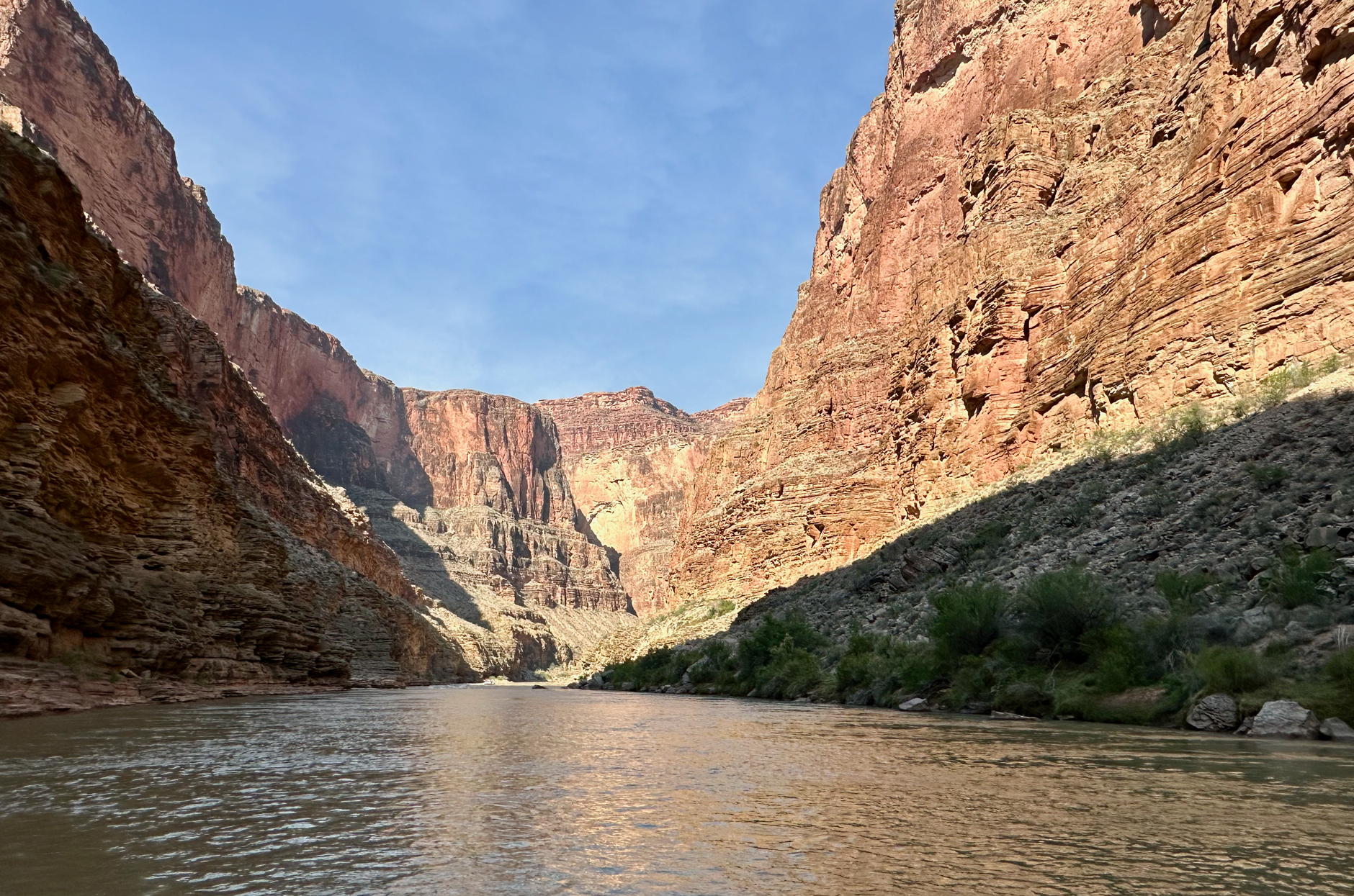
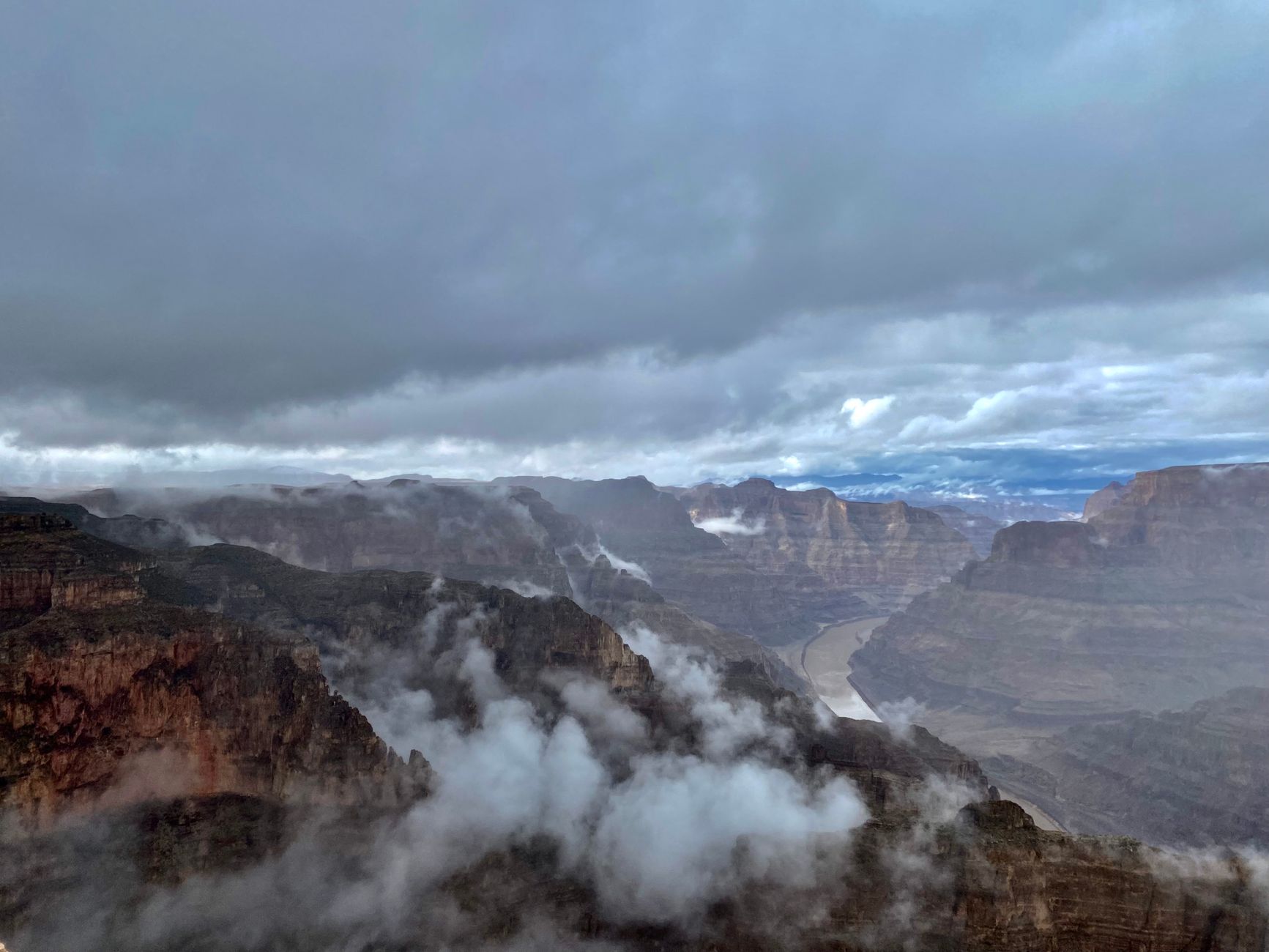
The seasons sort cleanly. April to May and September to October are the sweet spot on the South Rim, mild enough to walk below the rim and thinner than midsummer. July to September brings the monsoon, which means heat, crowds and afternoon lightning, and also the cloud that pours into the side canyons. Winter is cold, quiet, occasionally snow-dusted on red rock, and fully open. Fly into Phoenix or Las Vegas at about four hours out, or Flagstaff at ninety minutes, and note that the Skywalk marketed from Las Vegas sits on the Hualapai West Rim and is not the national park. Two things want booking before anything else: a bed in Grand Canyon Village, which goes months ahead in season, and a Phantom Ranch lottery entry if the canyon floor is the point of the trip. After that, start walking before first light in summer and the rest of the planning largely takes care of itself.