Goðafoss
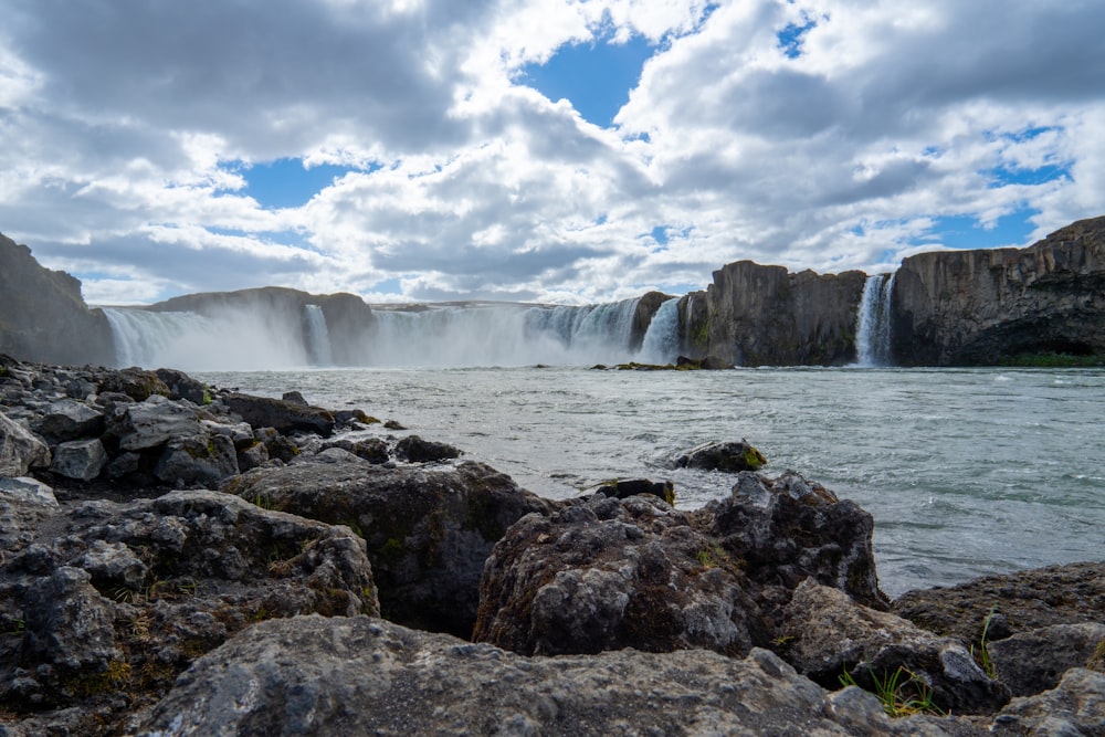
From the Ring Road between Akureyri and Mývatn, you can step out above a horseshoe of falling water, where a glacial river splits into two broad curtains over dark rock.
Read the guide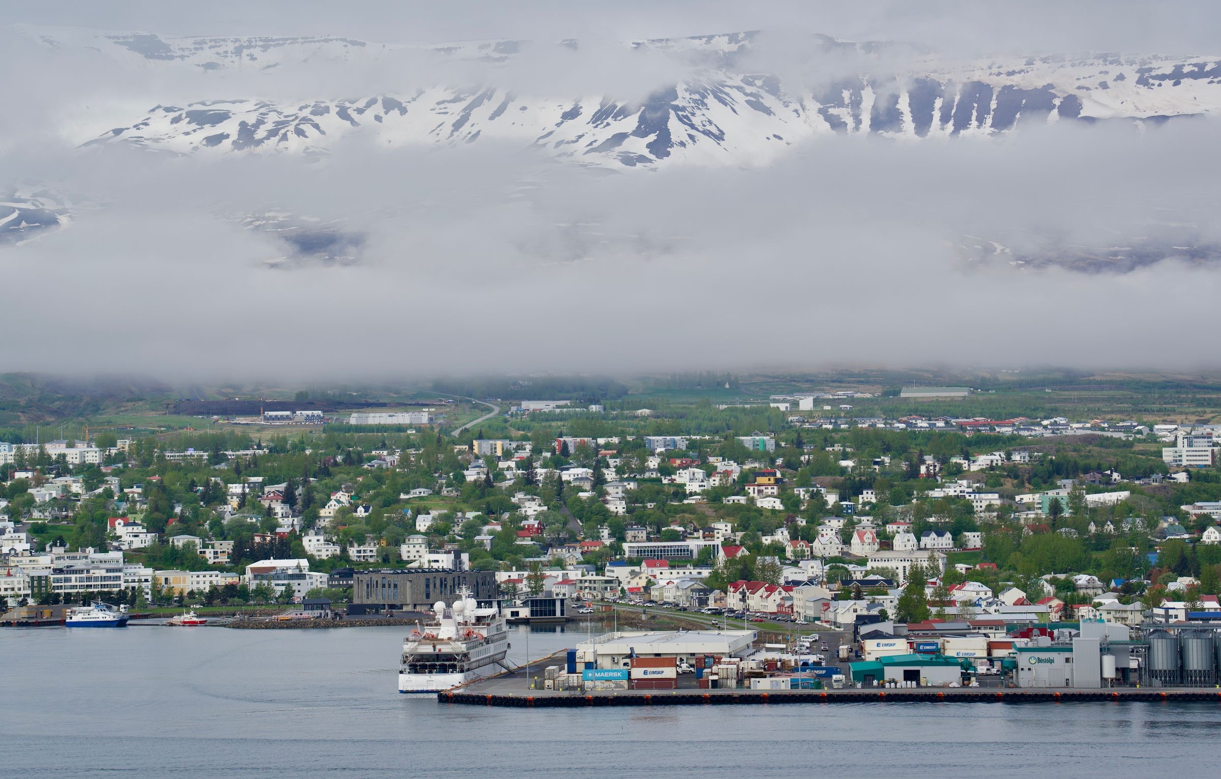
Stop for lunch on the Ring Road and you have time for the pedestrian street and the botanical garden, and on a summer weekday afternoon for the church above them. Stay a night and you add an evening in the Forest Lagoon across the fjord and a morning on the island of Hrísey.
Town guide, Iceland. Meridian Dispatch.
Ninety seconds on Akureyri
Two to three nights. A first day covers the church, the botanical garden, the old houses of Innbærinn and the town pool. A second goes to the fjord, for a whale trip, the beach hot tubs at Hauganes or the island of Hrísey. A third goes to Goðafoss and Lake Mývatn, and Grímsey takes a fourth, by the Dalvík ferry or a flight.
Not in the centre, which is small enough to walk, and the town buses are free. A car is needed for everything beyond it: the Forest Lagoon at Vaðlaskógur, the Hrísey ferry pier at Árskógssandur about 35 kilometres north and Lake Mývatn about 85 kilometres east.
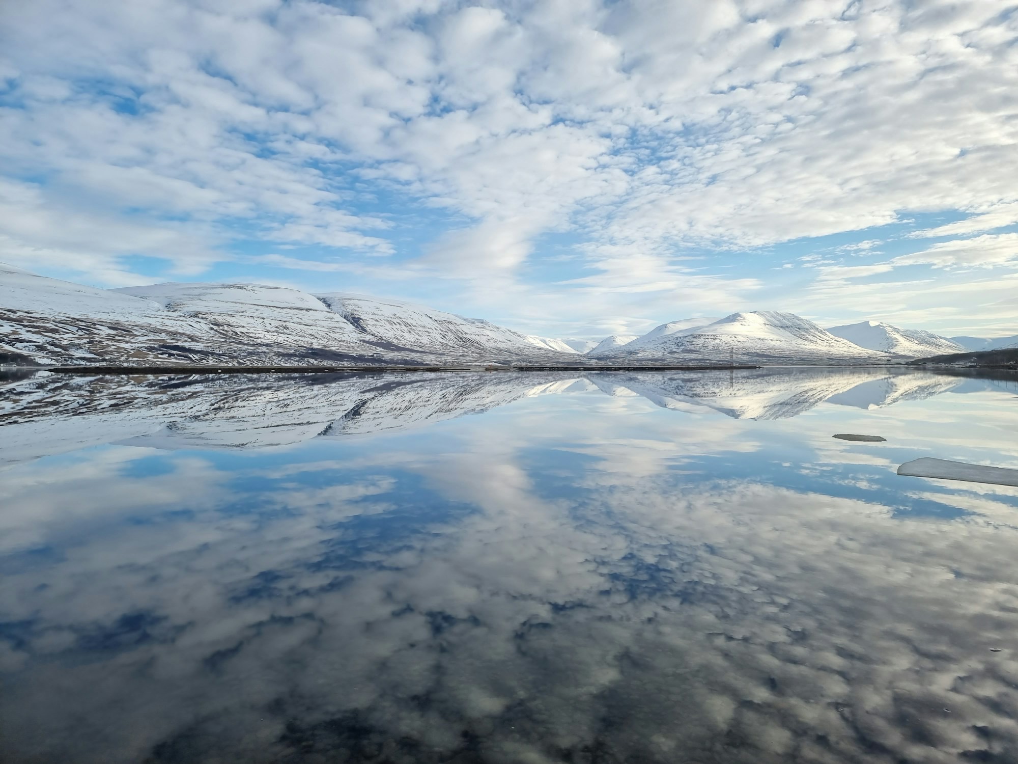
June to August, for the long light, the whale trips, the botanical garden in bloom and easy driving. The northern lights show from September to early April, and the Hlíðarfjall ski area usually opens from early December to the end of April. In midwinter the sun is up for only about three hours, from late morning to mid-afternoon.
Icelandic. English is widely spoken in hotels, shops, swimming pools and tour offices, so no Icelandic is needed to get by.
The Icelandic króna. Cards are accepted almost everywhere, and the Forest Lagoon takes card payments in krónur only. The Vaðlaheiðargöng tunnel east of town is the only toll road in Iceland: there is no booth, and the toll is paid online.
Akureyri Airport, AEY, a few minutes' drive south of the centre, just under 4 km by road. Domestic flights connect it several times a day with Reykjavík's domestic airport, not Keflavík, and seasonal direct flights arrive from the UK, Switzerland and the Netherlands. Keflavík, KEF, is the main international gateway, on the far side of Reykjavík.
Stay in Akureyri if you want a town base, with the airport, the long-distance buses and the restaurants a short walk or drive away. If craters and lava fields are the whole trip, sleep at Mývatn instead, about an hour east on Route 1, and skip the drive back each night.
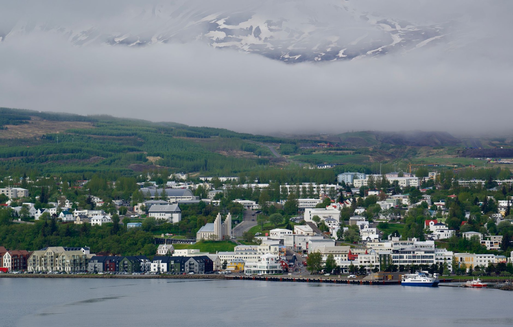
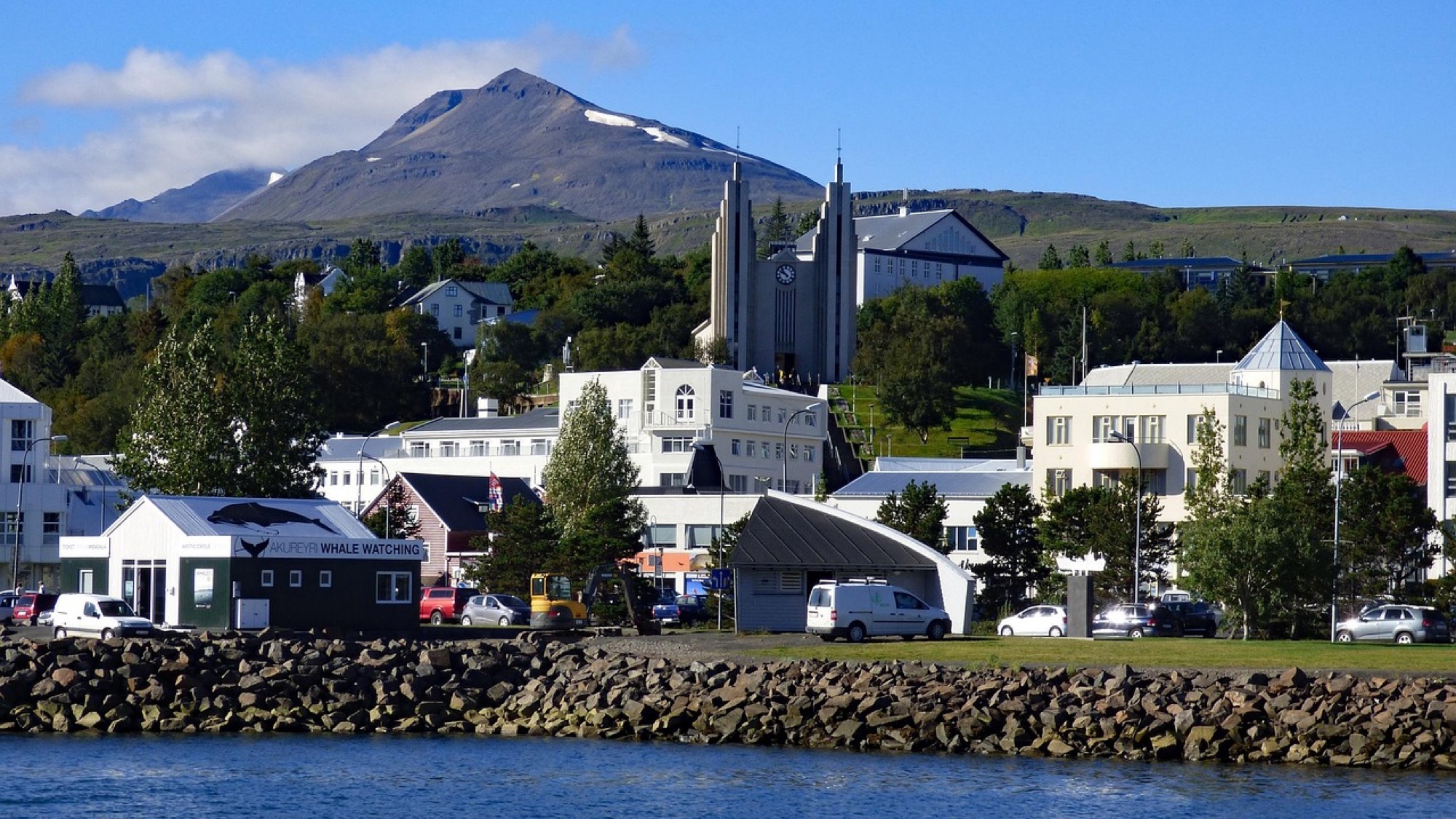
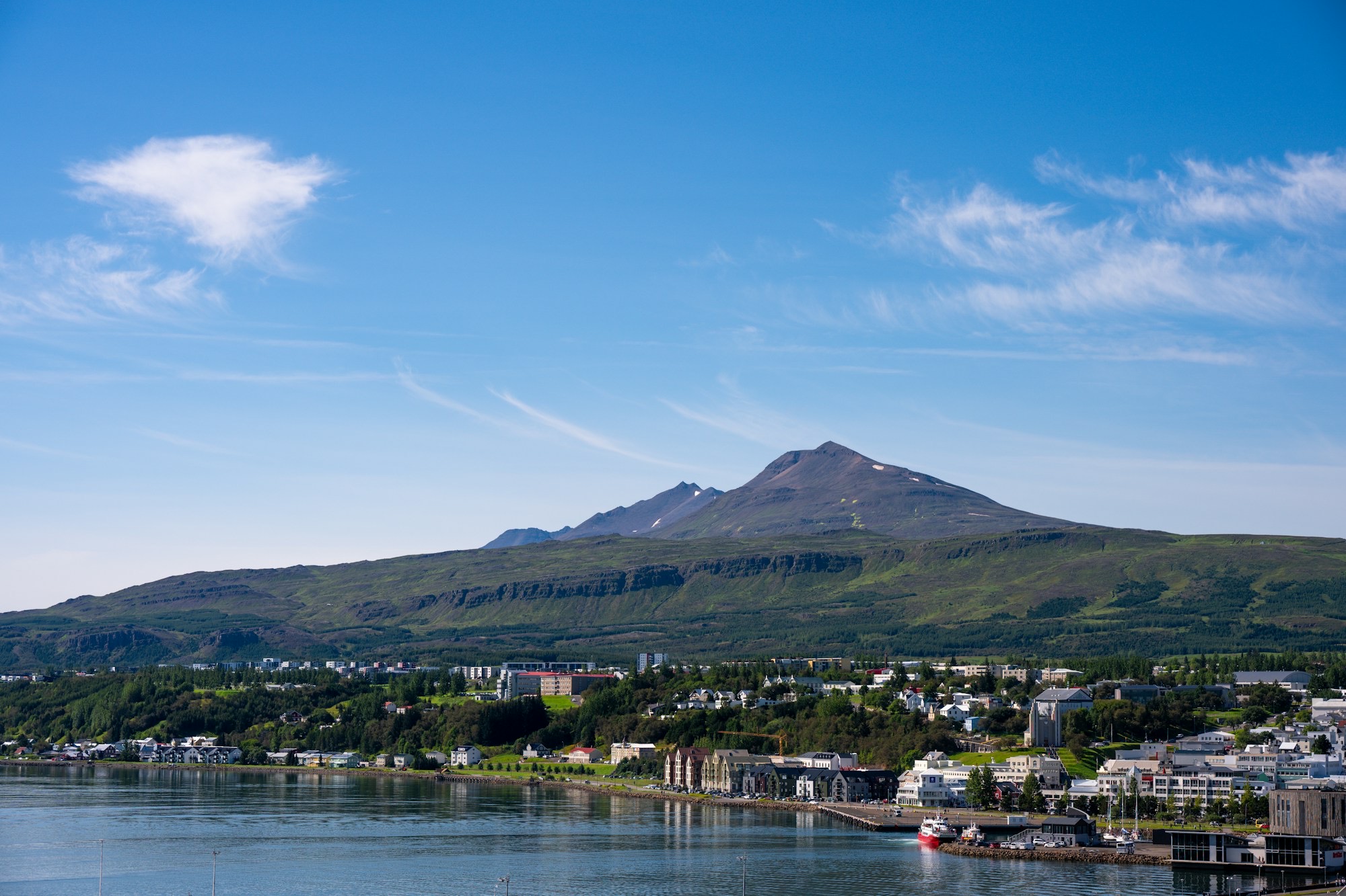
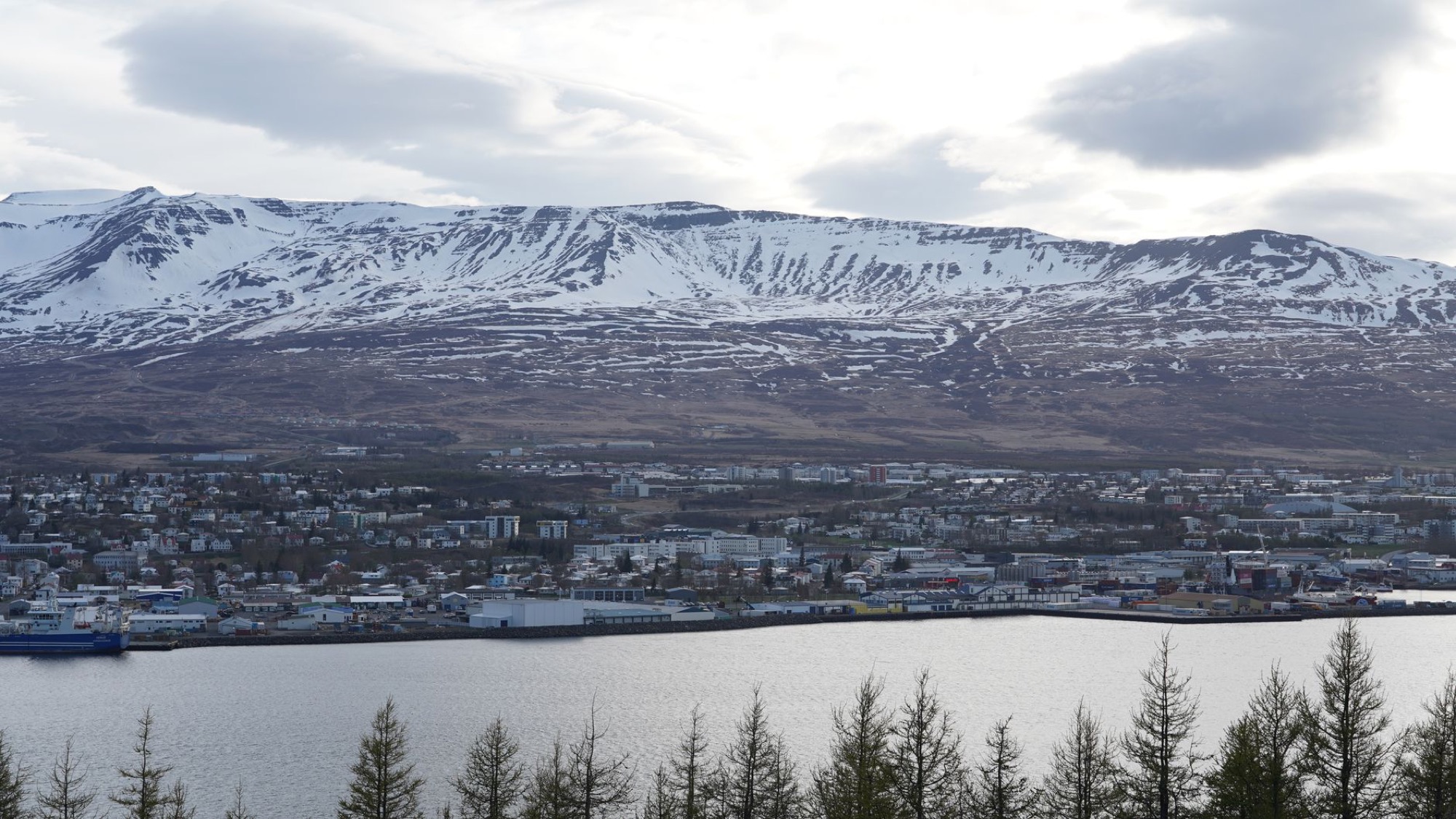
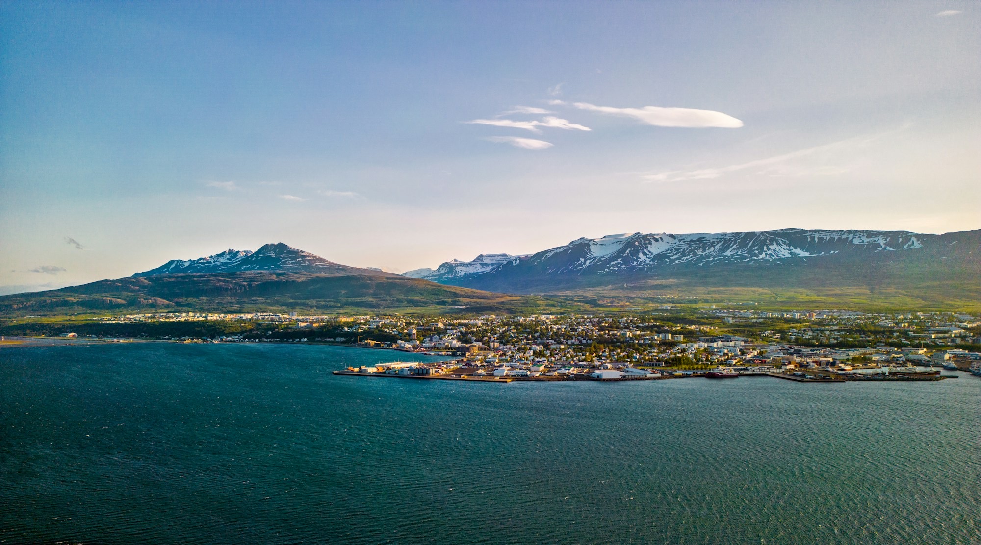
Akureyri sits at the head of Eyjafjörður, with the church on the slope above a compact centre and the timber houses of Innbærinn along the shore to the south. Roads run up both shores of the fjord to villages, islands and hot water, and Route 1 runs east to Goðafoss and Mývatn.
7,000 species
 6 min walk from Hof
 13 min walk from Hof
Sixteen places, from the church hill in the centre to the island ferries 35 km up the fjord.
The church, the garden, the pool, Hof, the art museum and the old houses of Innbærinn are a walk apart. The rest lie along the fjord, on the mountains above it or east on Route 1.
From the Ring Road between Akureyri and Mývatn, you can step out above a horseshoe of falling water, where a glacial river splits into two broad curtains over dark rock.
Read the guide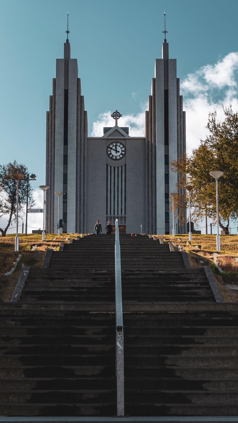
Akureyrarkirkja stands on the hill above Akureyri's centre, and when you step inside you find a stained glass window above the altar, balcony sculpture and a model ship hanging from the ceiling.
Read the guide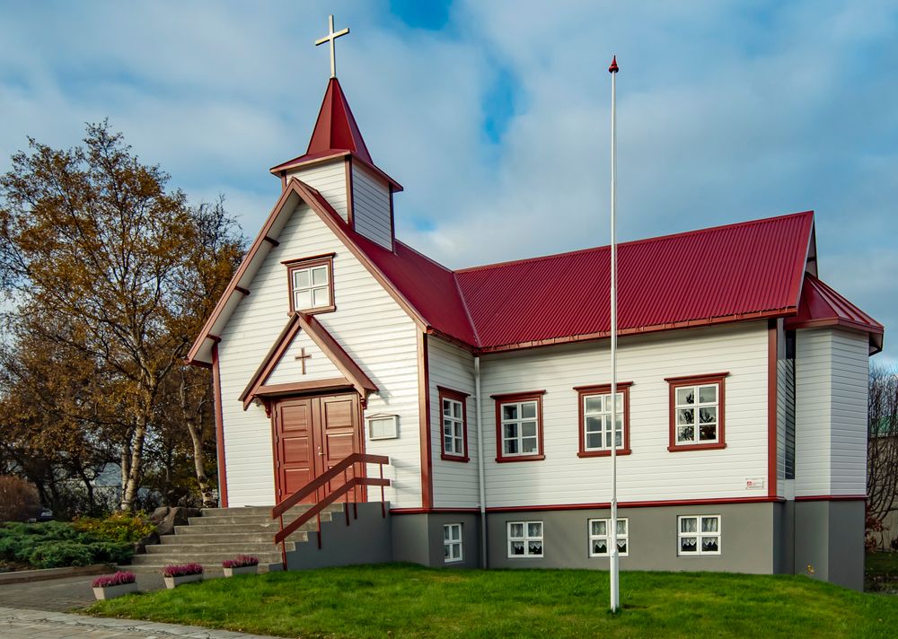
Akureyri's oldest quarter, a row of timber merchant houses along Aðalstræti. Laxdalshús, built in 1795, is the oldest building in town, and Nonnahús, the childhood home of the writer Jón Sveinsson, is a museum.
Read the guideA free garden on the hill above the centre, under 20 minutes' walk uphill. Nearly every native Icelandic plant grows here beside foreign species such as Himalayan blue poppies, and LYST, the café inside the gates, serves lunch.
Read the guideTwo warm infinity pools among the birches at Vaðlaskógur, on the slope above the east shore. Book a time slot online ahead, especially for a summer evening.
The town's geothermal pool on Þingvallastræti, with water slides, a row of hot tubs and a steam bath beside the lap pool. Before you swim, wash without a swimsuit in the changing room, as at any pool in the country.
The concert hall on the harbour front holds the town's tourist information desk, a gift shop and a bistro. Its walls are clad in Icelandic basalt cut to echo the rock columns of the coast.
Contemporary Icelandic and international art in a converted dairy building, across several linked halls. The exhibitions change through the year, and an hour is enough to see what is on.
A low island in the middle of the fjord with almost no cars, reached by ferry from Árskógssandur. Paths loop the southern end past nesting birds, and two to three hours covers it on foot.
Hot tubs on the black-sand beach at Hauganes, a fishing village on the west shore, looking straight out over the fjord. Whale boats leave from the village pier, so a soak and a whale trip fit into one half day.
An old parsonage farm on the east shore, about half an hour's drive from town, with its rooms behind a row of turf-roofed gables and a small timber church beside it. Inside, the farmhouse is furnished as it was when a large rural household lived and worked there.
A small island 40 km off the north coast, where the Arctic Circle runs across its northern tip. The ferry from Dalvík takes about three hours each way, or you fly from Akureyri, so either way it fills a long day. Puffins nest on its cliffs in summer.
The town's ski area, on the mountain about 7 km by road from the centre, with lifts and marked runs for a full day on skis. In summer the same slopes are a starting point for hikes.
A planted forest on the southern edge of town with lit paths, so a walk fits into a short winter afternoon. The trails are tracked for skiing in winter and open to mountain bikes in summer.
The twin-peaked mountain behind the town, 1,213 metres high, climbed on a marked trail from the end of Súluvegur. The round trip takes four to six hours over loose scree near the top.
A 1,173-metre mountain on the east shore, climbed from the village of Grenivík, with a broad flat summit over the open sea. The ascent is long and steep, a full day for experienced hill walkers.
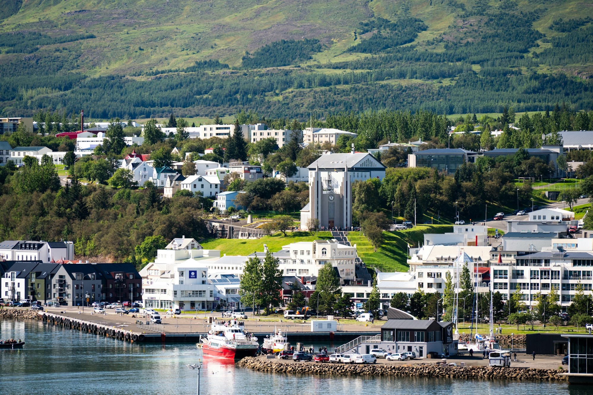
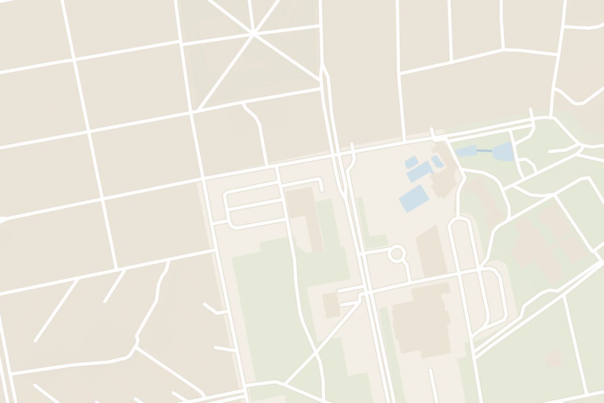
The church and the garden share the hill above the centre, a few minutes' walk apart, and the town pool lies just west of the church. From November to March the hill streets often ice over, so wear shoes with grip.
Akureyrarkirkja stands on the hill above Akureyri's centre, and when you step inside you find a stained glass window above the altar, balcony sculpture and a model ship hanging from the ceiling.
Read the guideA free garden on the hill above the centre, under 20 minutes' walk uphill. Nearly every native Icelandic plant grows here beside foreign species such as Himalayan blue poppies, and LYST, the café inside the gates, serves lunch.
Read the guideThe town's geothermal pool on Þingvallastræti, with water slides, a row of hot tubs and a steam bath beside the lap pool. Before you swim, wash without a swimsuit in the changing room, as at any pool in the country.
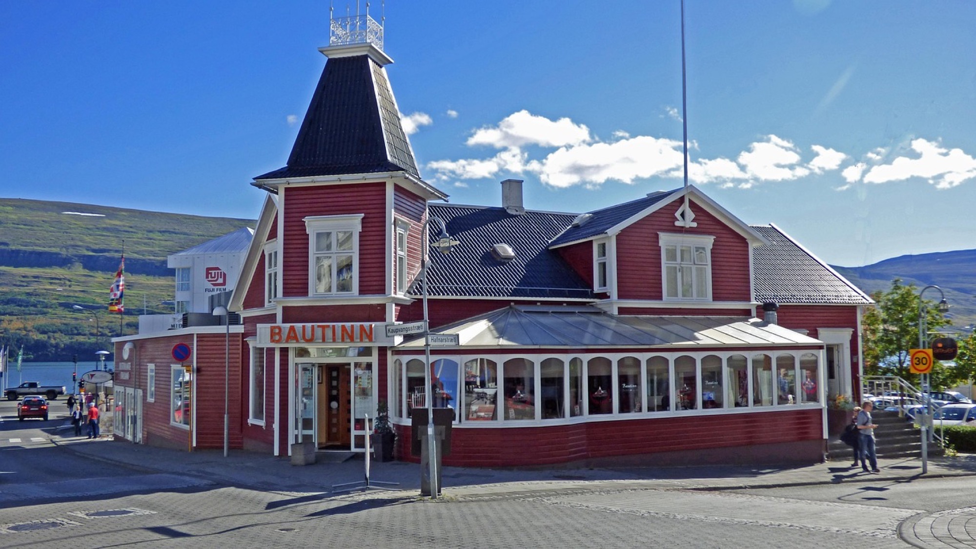
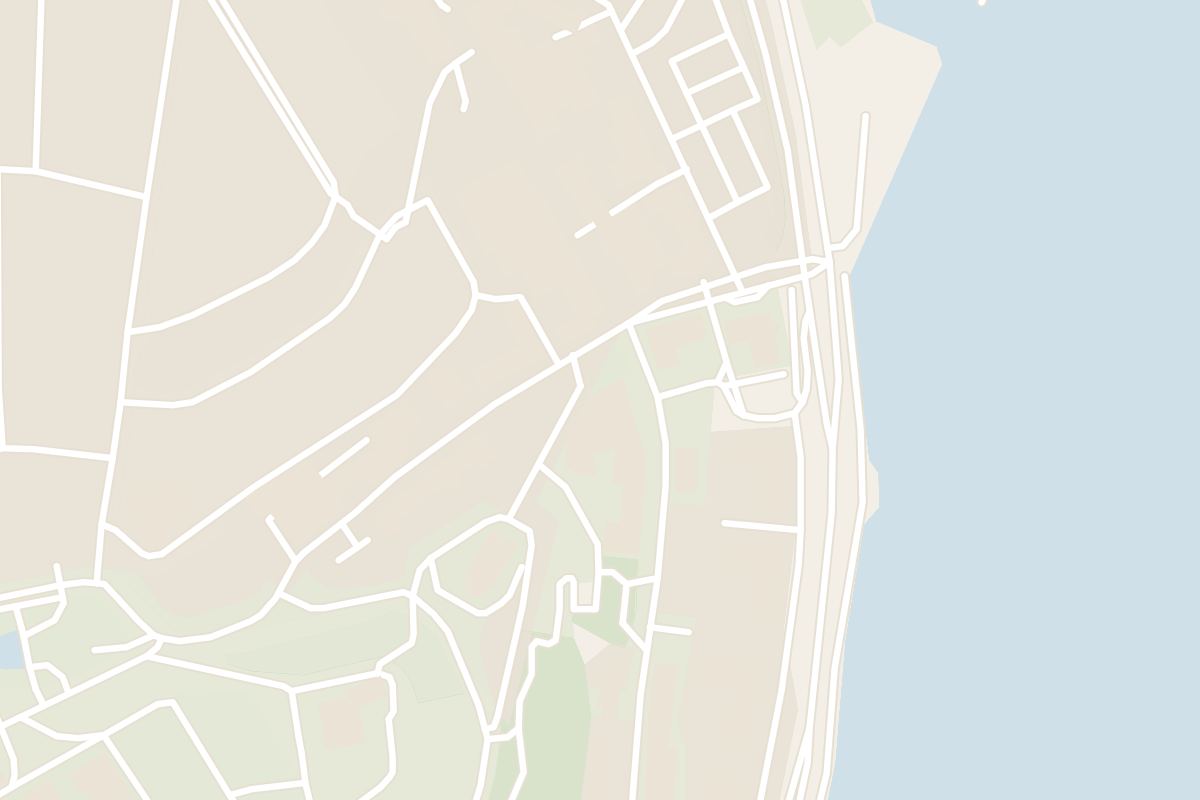
Hof stands on the harbour front. Kaupvangsstræti, the gallery street known as the Art Alley (Listagil), climbs from the foot of the church steps, and Innbærinn is about 20 minutes' walk south along the shore.
Akureyri's oldest quarter, a row of timber merchant houses along Aðalstræti. Laxdalshús, built in 1795, is the oldest building in town, and Nonnahús, the childhood home of the writer Jón Sveinsson, is a museum.
Read the guideThe concert hall on the harbour front holds the town's tourist information desk, a gift shop and a bistro. Its walls are clad in Icelandic basalt cut to echo the rock columns of the coast.
Contemporary Icelandic and international art in a converted dairy building, across several linked halls. The exhibitions change through the year, and an hour is enough to see what is on.
Route 82 runs up the west shore to Hauganes, to Árskógssandur for the Hrísey ferry and to Dalvík, 43 km from town, for the Grímsey ferry. Route 83 takes the east shore to Laufás.
A low island in the middle of the fjord with almost no cars, reached by ferry from Árskógssandur. Paths loop the southern end past nesting birds, and two to three hours covers it on foot.
Hot tubs on the black-sand beach at Hauganes, a fishing village on the west shore, looking straight out over the fjord. Whale boats leave from the village pier, so a soak and a whale trip fit into one half day.
An old parsonage farm on the east shore, about half an hour's drive from town, with its rooms behind a row of turf-roofed gables and a small timber church beside it. Inside, the farmhouse is furnished as it was when a large rural household lived and worked there.
A small island 40 km off the north coast, where the Arctic Circle runs across its northern tip. The ferry from Dalvík takes about three hours each way, or you fly from Akureyri, so either way it fills a long day. Puffins nest on its cliffs in summer.
Hlíðarfjall, about 7 km above town by road, has the ski lifts. Kjarnaskógur, on the southern edge of town, has tracked cross-country trails, and the Forest Lagoon sits on the far shore of the fjord. Check umferdin.is before any drive out of town.
Two warm infinity pools among the birches at Vaðlaskógur, on the slope above the east shore. Book a time slot online ahead, especially for a summer evening.
The town's ski area, on the mountain about 7 km by road from the centre, with lifts and marked runs for a full day on skis. In summer the same slopes are a starting point for hikes.
A planted forest on the southern edge of town with lit paths, so a walk fits into a short winter afternoon. The trails are tracked for skiing in winter and open to mountain bikes in summer.
Súlur and Kaldbakur are long summer climbs for fit walkers in boots, so start with a clear forecast from vedur.is. Kjarnaskógur gives a shorter walk among trees.
A planted forest on the southern edge of town with lit paths, so a walk fits into a short winter afternoon. The trails are tracked for skiing in winter and open to mountain bikes in summer.
The twin-peaked mountain behind the town, 1,213 metres high, climbed on a marked trail from the end of Súluvegur. The round trip takes four to six hours over loose scree near the top.
A 1,173-metre mountain on the east shore, climbed from the village of Grenivík, with a broad flat summit over the open sea. The ascent is long and steep, a full day for experienced hill walkers.
Goðafoss is 35 km east on Route 1, about 35 minutes by car through the Vaðlaheiði tunnel (Vaðlaheiðargöng). Strætó route 79 also stops at the falls, with a limited number of seats; check its days on straeto.is.
From the Ring Road between Akureyri and Mývatn, you can step out above a horseshoe of falling water, where a glacial river splits into two broad curtains over dark rock.
Read the guideStart at Hof on the harbour front, where the tourist information desk sits inside the concert hall. Walk along Hafnarstræti, the pedestrian street, then south along Aðalstræti past the timber merchant houses of Innbærinn.
Climb from Innbærinn to the botanical garden and have lunch at LYST inside the gates. Then walk north along the hilltop to Akureyrarkirkja.
The parish opens the church to visitors from the start of June to 30 August, Monday to Friday, 15:00 to 18:00, so save it for a summer weekday afternoon. Funerals close it even then, and the notice goes up on the doors.
Spend the evening in hot water. The town pool on Þingvallastræti is about ten minutes' walk from the church, and the Forest Lagoon is a five-minute drive across the fjord.
On a clear winter night, drive ten minutes out of town, away from the street lights, for the northern lights. The cloud forecast on vedur.is tells you which nights are clear. On a long summer evening, drive 35 minutes east to Goðafoss and cross the footbridge to see the falls from both banks.
The town's own airport takes the domestic flights from Reykjavík and is a few minutes' drive from the centre.
Five car hire firms have desks at Akureyri Airport. Book the car with your flight and collect it when you land.
A town bus route runs from the airport through the centre to the campsite, and its timetable is on the airport's website. Strætó route 79, to and from Húsavík, also stops at the airport and at Hof.
From Reykjavík by road it is about 380 km on Route 1, and Strætó route 57 makes the trip; check its days and times on straeto.is.
Every Iceland town, place and dispatch, on one map.
Staying by the lake puts the volcanic sights close: a crater rim, steaming mud pots.

Climb Vindbelgjarfjall for a full circle of view over Lake Mývatn, its wetlands and the Skútustaðir pseudocraters.

A fishing town of about 2,400 on the east shore of Skjálfandi bay, about 58 km short of the Arctic Circle.

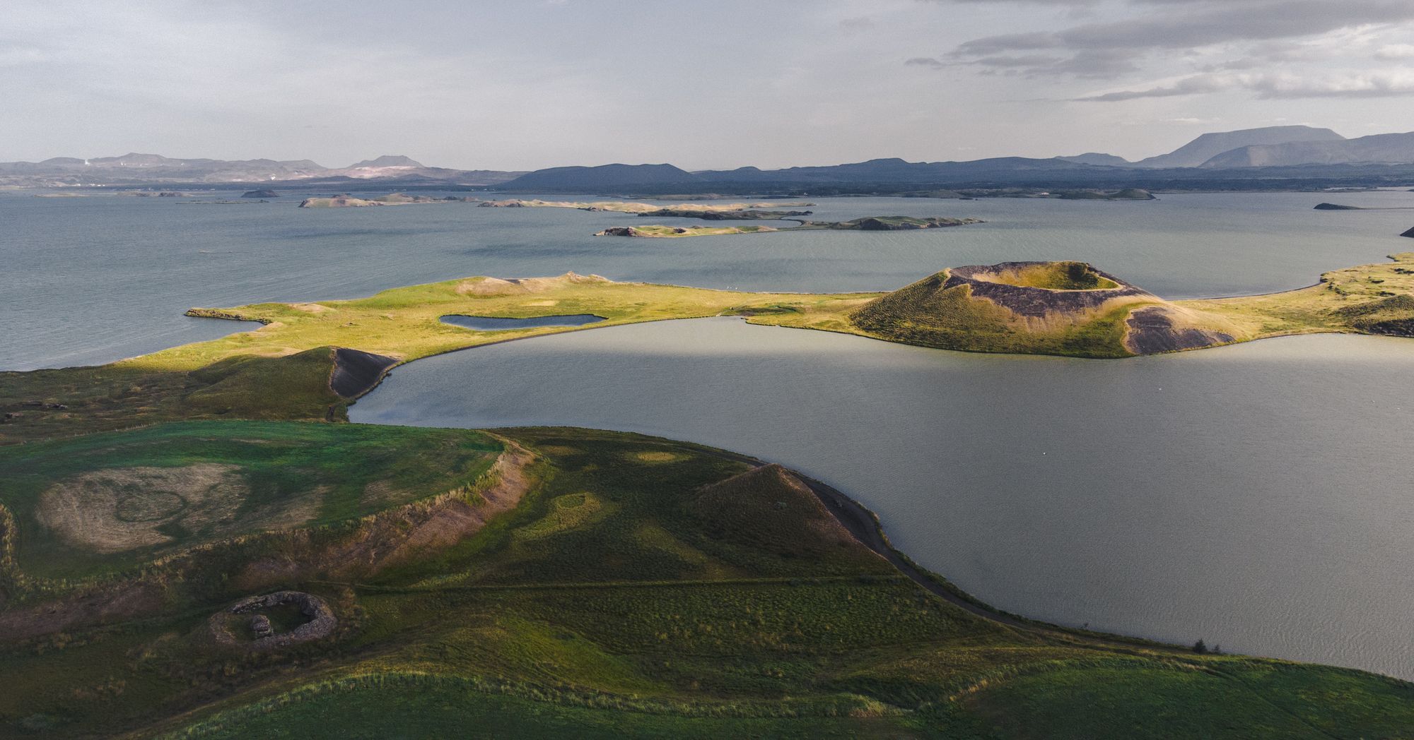
Steam explosions, not eruptions, built the grassy craters you walk among at Skútustaðir.
The official pages this guide was checked against.
Last updated