Ásbyrgi
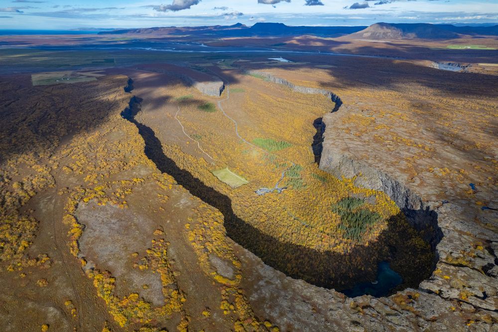
A horseshoe canyon about 60 km east of town on Route 85. From the inner car park a short path leads to a pond in a birch wood under the cliffs, and the Eyjan trail along the rock island in the middle is about 4.5 km.
Read the guide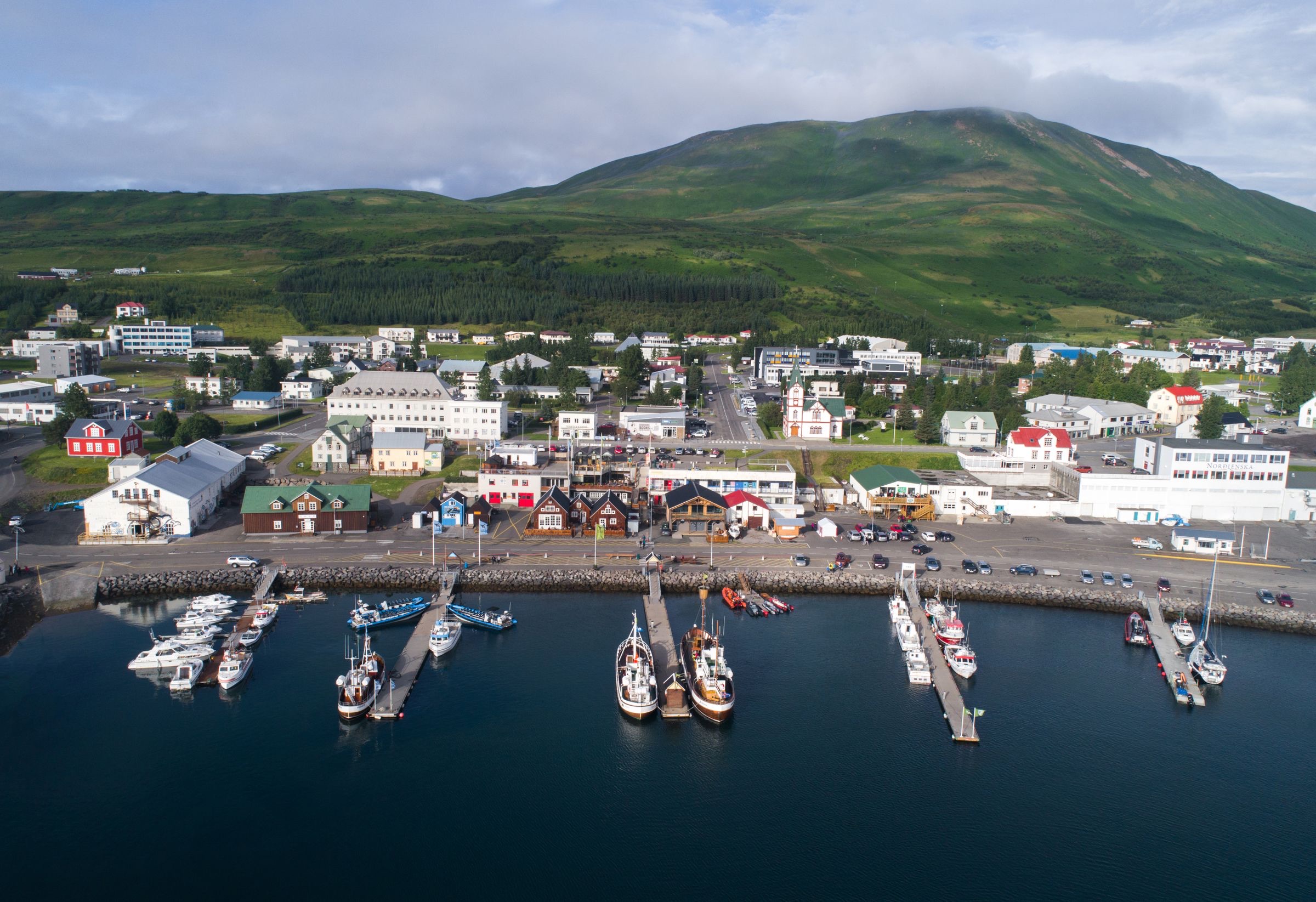
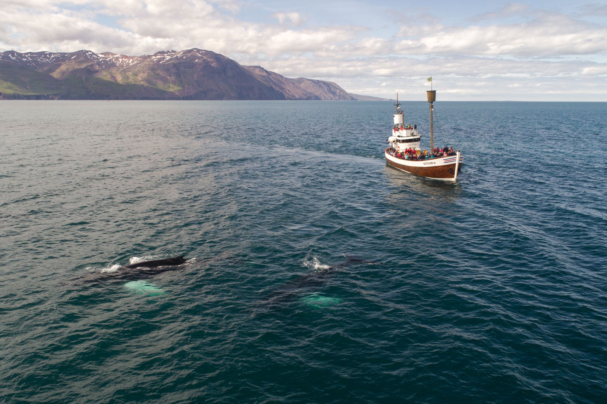
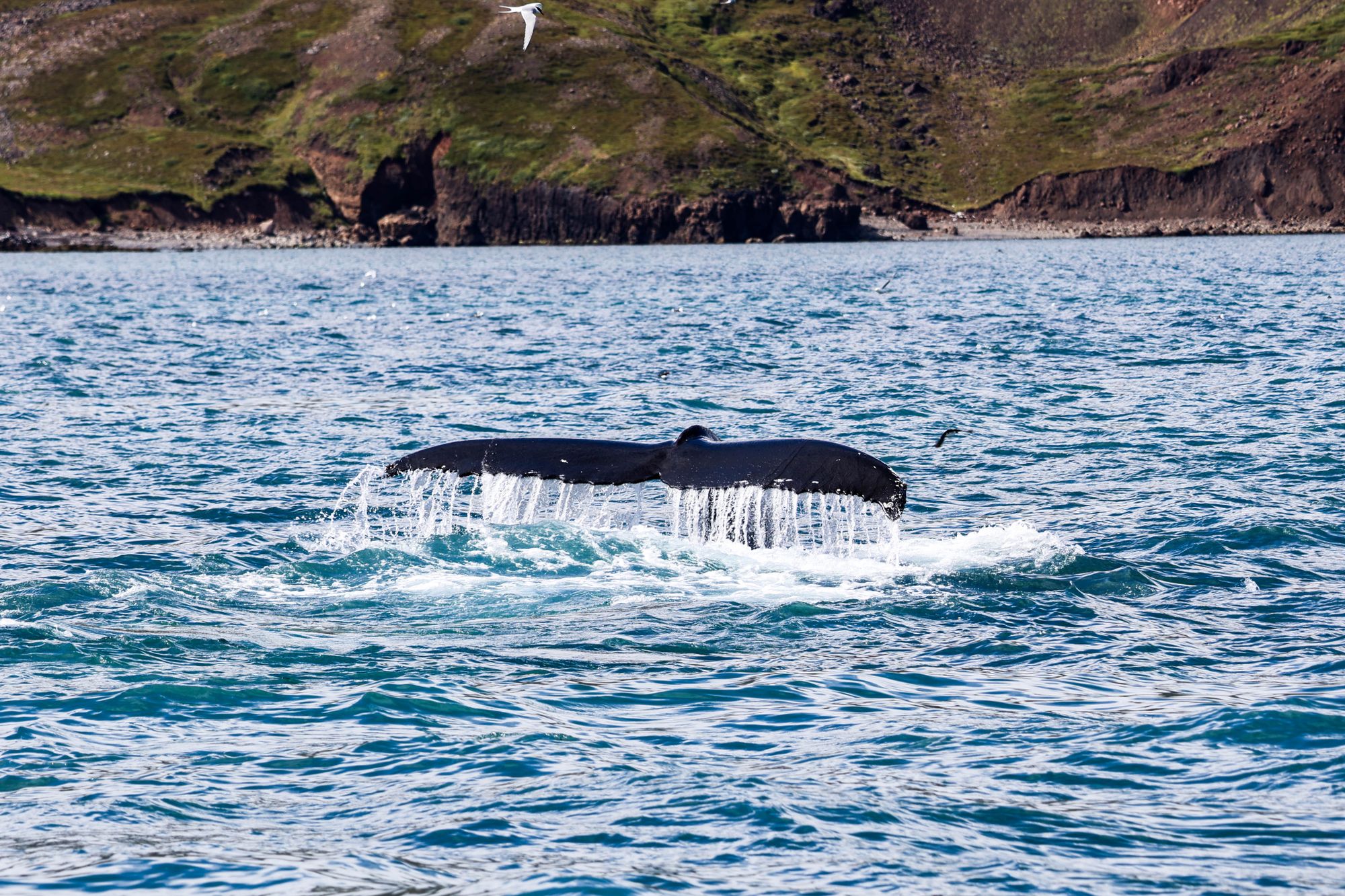
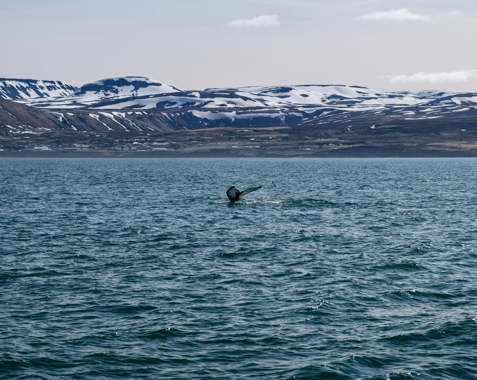
You sail from the town quay into Skjálfandi Bay, where humpbacks feed from spring to autumn. Stay a second night and you have a full day for the canyon at Ásbyrgi and the falls at Dettifoss, both east of town.
Town guide, Iceland. Meridian Dispatch.
Ninety seconds on Húsavík
Two nights. One full day covers a whale-watching trip, the museums and the GeoSea baths, and the second goes on the drive east to Ásbyrgi, Hljóðaklettar and Dettifoss. A third night allows a second boat trip on a different kind of boat, or a whale and puffin trip to Lundey.
Not in the town itself: the church, the museums and GeoSea are a walk from the piers, the farthest about a kilometre away. Ásbyrgi, Hljóðaklettar and Dettifoss need a car or a guided day tour. Strætó route 79 runs to Akureyri and its airport.
May to September is the peak whale season, and puffins nest on Lundey from mid-April to the end of August. Many cafés and restaurants close from December to about mid-February, while the museums and GeoSea stay open.
Icelandic. English is spoken at the whale-watching desks, the museums, GeoSea and the hotels.
The Icelandic króna, ISK. Cards are accepted almost everywhere, and little cash is needed.
Akureyri, AEY, about 76 kilometres away by road through the Vaðlaheiði tunnel (Vaðlaheiðargöng), with flights from Reykjavík and seasonal flights from several European cities. From Keflavík, KEF, the drive is about 500 kilometres and takes seven hours or more.
Stay in Húsavík if the whale boats, Ásbyrgi and Dettifoss are the trip. If the craters and steam fields come first, stay at Mývatn, 55 km south, and drive up for a day on the bay.
The town is a working harbour on the east shore of Skjálfandi Bay, with the whale boats, the church and three museums within a few minutes of each other. East of it, across the Tjörnes peninsula, the Jökulsá river runs through a national park of canyons and falls.
23
Fosshotel Húsavík stands a few minutes' walk up from the harbour, and guesthouses and farm stays lie in and around the town.
 4 min walk from Húsavík Harbour
 4 min walk from Húsavík Harbour
Twelve places, from the boats on the quay to Dettifoss, 92 km east.
The museums, the church and GeoSea lie within about a kilometre of the harbour, with Húsavíkurfjall rising behind the town. Tjörnes, Ásbyrgi, Hljóðaklettar and Dettifoss are between 18 and 92 km east by road, and need a car.
A horseshoe canyon about 60 km east of town on Route 85. From the inner car park a short path leads to a pond in a birch wood under the cliffs, and the Eyjan trail along the rock island in the middle is about 4.5 km.
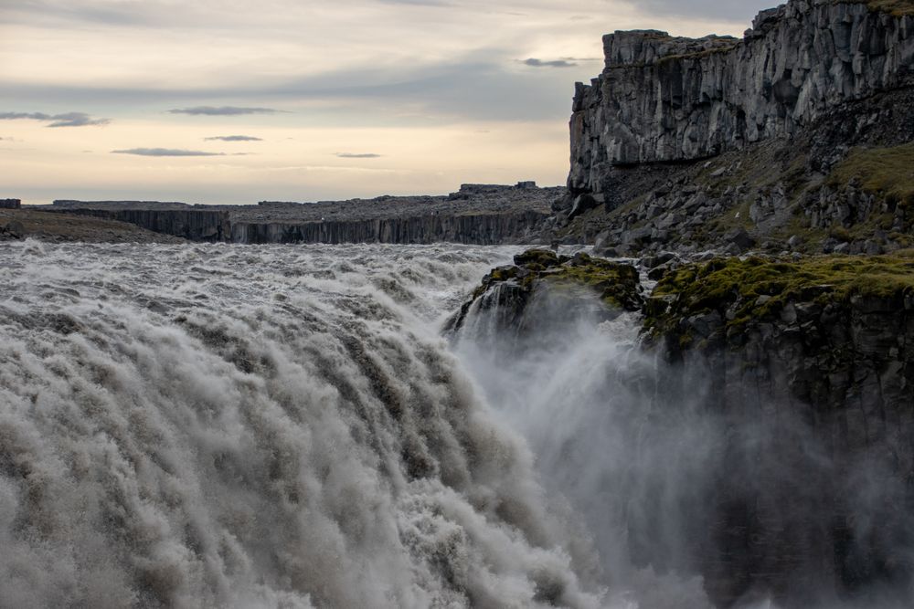
Read the guideAbout 92 km from town, an hour and 20 minutes by car: Route 85 through Kelduhverfi, then Route 862 south to the west car park. From there the path to the falls is about 1 km, mostly downhill, so the climb comes on the way back.
Read the guide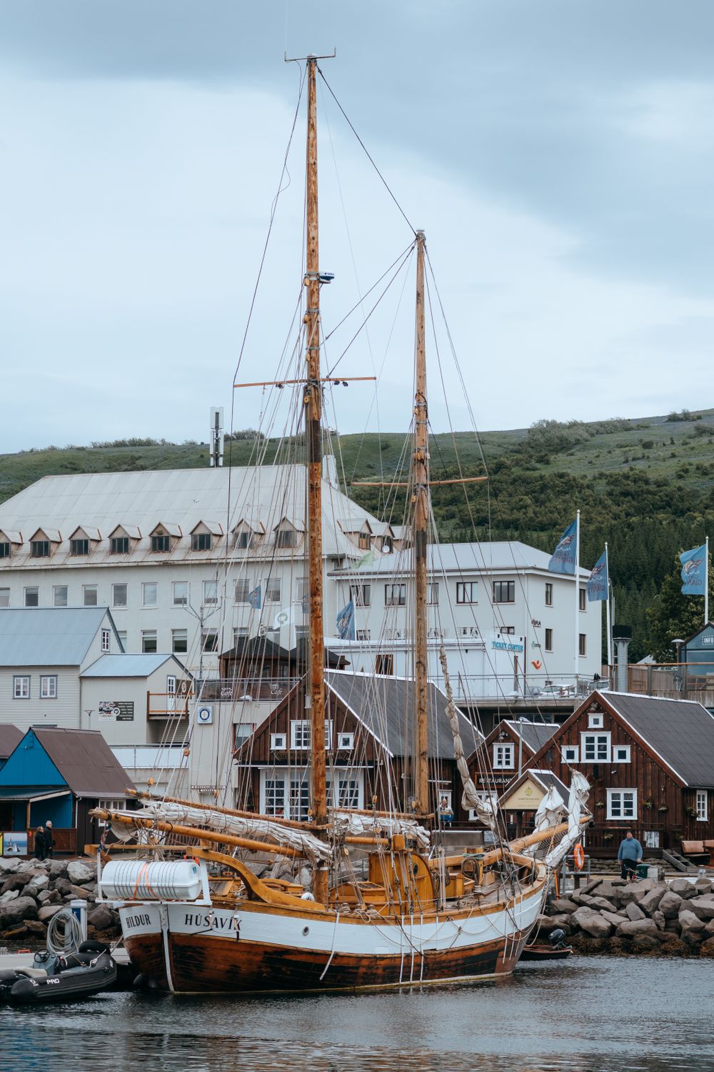
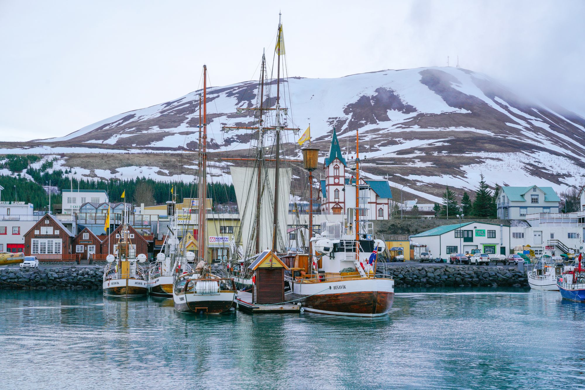
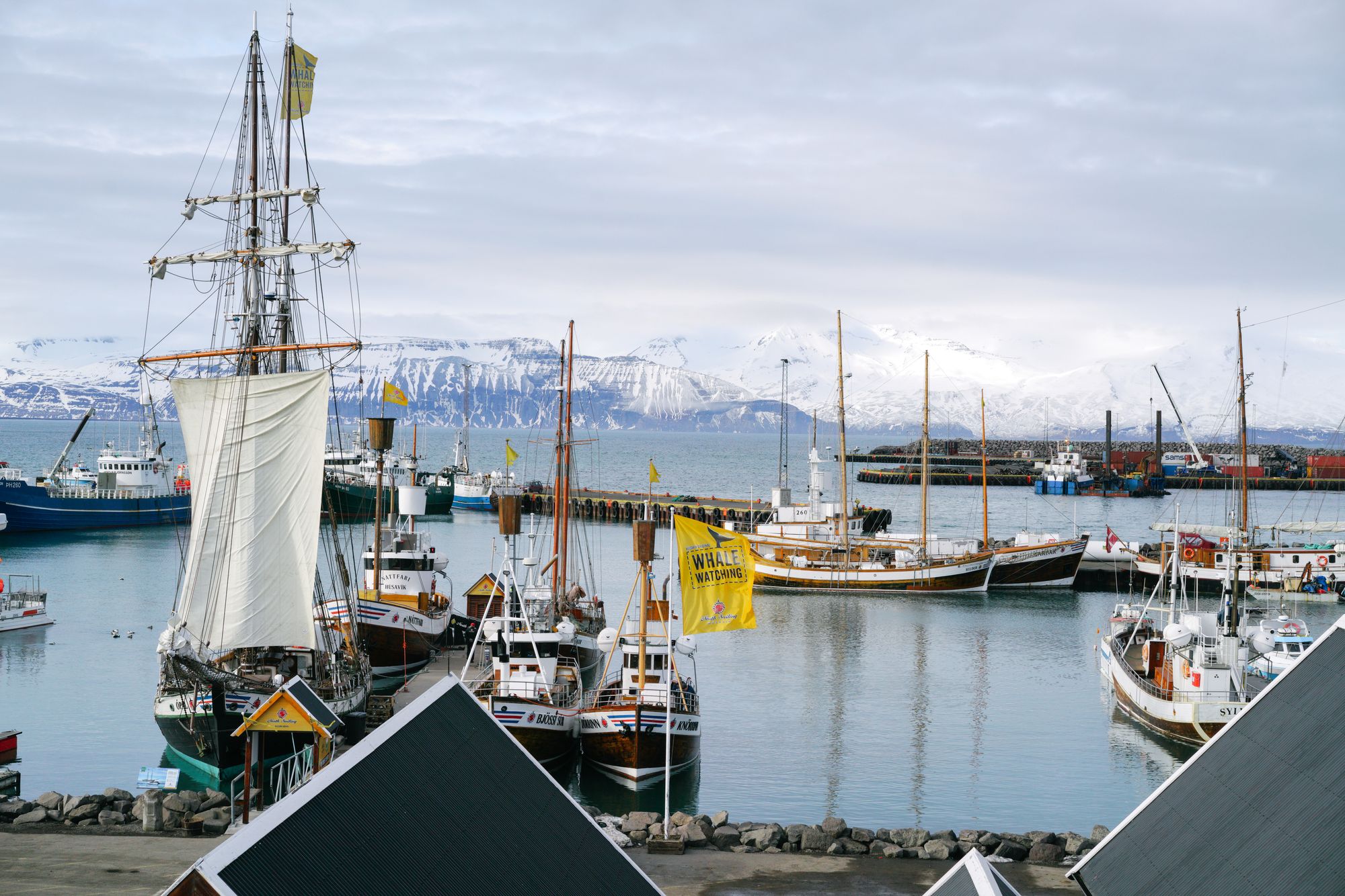
Every whale and puffin boat in town leaves from these piers for Skjálfandi Bay. Pick the boat when you book: the wooden boats make the longer trip, and the speedboats are faster, with age, height and health limits on some.
Read the guideSkeletons of the whales that feed in the bay, a blue whale among them, fill the town's old slaughterhouse on the quay. Go before your boat, so you know the size of what you are looking for.
Three pools of warm seawater on the cliff about a kilometre north of the harbour, looking across the bay to the mountains on the far shore. Book a slot online in summer.
The peninsula north of town, crossed by Route 85, with fossil shells in the sea cliffs along its western shore. At Hringsbjarg on the east side a platform looks onto a puffin cliff; parts of the clifftop have no railing, so keep back from the edge.
A small island in the bay where puffins nest from spring to the end of August. Boats circle it and do not land, so book a combined whale and puffin trip when the birds are the point.
Apollo astronauts trained in the lava fields of north Iceland before the Moon landings, and this museum by the harbour tells that story beside the Norse voyages west. If time is short, start with the Apollo room.
The regional museum, a few streets up from the harbour, with fishing boats, folk life and a stuffed polar bear on its natural history floor. It stays open through the winter.
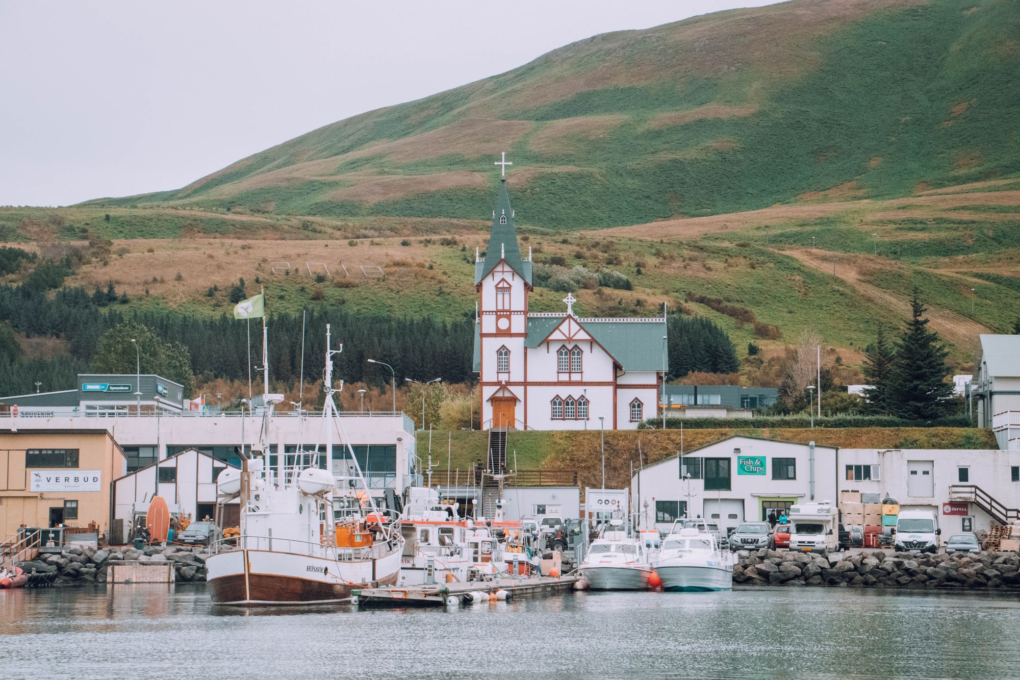
A timber church of 1907 just above the harbour, built of wood shipped from Norway, with a steeple 26 metres high.
The 417 metre hill behind the town, with the widest view over the bay. The walk up takes about an hour from the edge of town, and a rough four-wheel-drive track also reaches the top.
Basalt cores and twisted columns beside the river at Vesturdalur, about 70 km from town by Route 85 and Route 862 south from Ásbyrgi. A short loop covers the rocks, and a longer marked walk goes on to the Rauðhólar red craters.
Boats sail from about March or April to November, depending on the operator, and the summer months are the surest. Book for your first full day, so a sailing cancelled for wind can move to the next.
Every whale and puffin boat in town leaves from these piers for Skjálfandi Bay. Pick the boat when you book: the wooden boats make the longer trip, and the speedboats are faster, with age, height and health limits on some.
Read the guideA small island in the bay where puffins nest from spring to the end of August. Boats circle it and do not land, so book a combined whale and puffin trip when the birds are the point.
All three lie a few minutes' walk from the piers, and they fill a day when the sea is too rough to sail. The Whale Museum opens 9:00 to 18:00 daily from May to September.
Skeletons of the whales that feed in the bay, a blue whale among them, fill the town's old slaughterhouse on the quay. Go before your boat, so you know the size of what you are looking for.
Apollo astronauts trained in the lava fields of north Iceland before the Moon landings, and this museum by the harbour tells that story beside the Norse voyages west. If time is short, start with the Apollo room.
The regional museum, a few streets up from the harbour, with fishing boats, folk life and a stuffed polar bear on its natural history floor. It stays open through the winter.
All three start from the harbour on foot. The church is a short walk up from the quay, GeoSea is on the headland to the north, and the path up Húsavíkurfjall leaves from the edge of town.
Three pools of warm seawater on the cliff about a kilometre north of the harbour, looking across the bay to the mountains on the far shore. Book a slot online in summer.
A timber church of 1907 just above the harbour, built of wood shipped from Norway, with a steeple 26 metres high.
The 417 metre hill behind the town, with the widest view over the bay. The walk up takes about an hour from the edge of town, and a rough four-wheel-drive track also reaches the top.
Route 85 rounds the peninsula between Húsavík and Ásbyrgi, so it fits the drive out to the canyon.
The peninsula north of town, crossed by Route 85, with fossil shells in the sea cliffs along its western shore. At Hringsbjarg on the east side a platform looks onto a puffin cliff; parts of the clifftop have no railing, so keep back from the edge.
Both lie in Vatnajökull National Park, along the Jökulsá á Fjöllum. In winter snow usually blocks the inner road into Ásbyrgi, so be ready to walk the last 4 km in.
A horseshoe canyon about 60 km east of town on Route 85. From the inner car park a short path leads to a pond in a birch wood under the cliffs, and the Eyjan trail along the rock island in the middle is about 4.5 km.
Read the guideBasalt cores and twisted columns beside the river at Vesturdalur, about 70 km from town by Route 85 and Route 862 south from Ásbyrgi. A short loop covers the rocks, and a longer marked walk goes on to the Rauðhólar red craters.
Two car parks face each other across the gorge, over an hour apart by road. From Húsavík the west bank is the nearer, on Route 862; the gravel Route 864 on the east bank shuts with the first autumn snow.
About 92 km from town, an hour and 20 minutes by car: Route 85 through Kelduhverfi, then Route 862 south to the west car park. From there the path to the falls is about 1 km, mostly downhill, so the climb comes on the way back.
Read the guideStart at the Whale Museum on the quay and allow an hour for the skeletons. Then board your whale boat at the harbour; if wind cancels the sailing, spend the morning in the regional museum, a few streets up the hill.
On board, the crew hand out warm overalls; wear a hat, gloves and warm socks under them, even in July. Back on shore, the Exploration Museum is a few steps from the piers and takes about an hour.
In the afternoon, walk north along the harbour to the headland and soak at GeoSea. On a clear June or July evening, climb Húsavíkurfjall from the edge of town; the sky stays light late into the night.
Give a second day to the drive east. Route 85 rounds Tjörnes and reaches Ásbyrgi in about an hour. From the inner car park, the loop to the pond at the head of the canyon takes about half an hour.
From Ásbyrgi, Route 862 runs south to Vesturdalur, where a short loop crosses the basalt columns of Hljóðaklettar, and on to the west bank of Dettifoss. The road has limited winter service, so check umferdin.is the evening before. In winter, keep the day to Tjörnes and Ásbyrgi.
Akureyri is the nearest airport with scheduled flights. From there the road runs east through the Vaðlaheiði tunnel and north to the coast.
Book the car before you fly and collect it at the airport; the same car takes you east to the canyon and the falls. Goðafoss stands beside Route 1 on the way, so stop there going in.
Route 79 calls at Akureyri airport on its run between Akureyri and Húsavík, with a stop at Goðafoss. Check the timetable on straeto.is before you fly and plan the first day around it.
Flying in to Keflavík, change in Reykjavík: the domestic flights to Akureyri leave from the city airport, not from Keflavík.
Every Iceland town, place and dispatch, on one map.
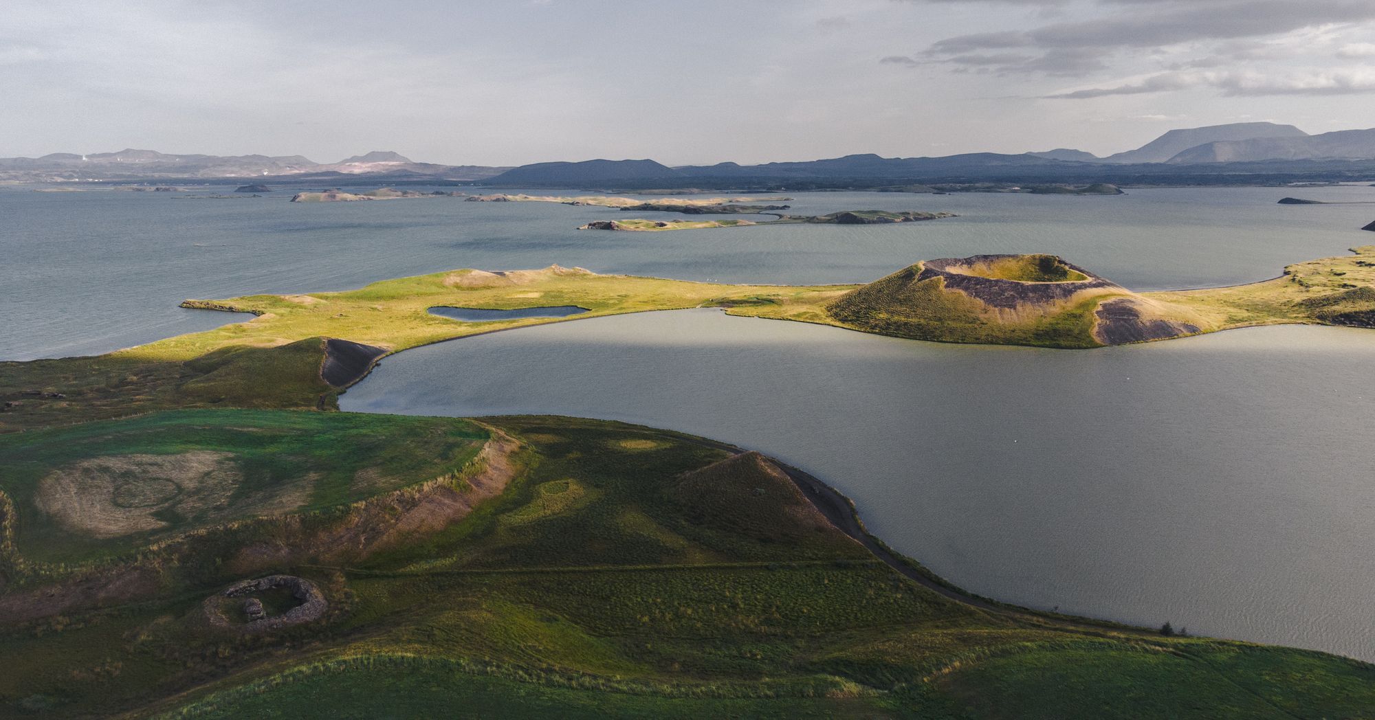
Staying by the lake puts the volcanic sights close: a crater rim, steaming mud pots.

From the Ring Road between Akureyri and Mývatn, you can step out above a horseshoe of falling water.

Base yourself here and most of north Iceland becomes a day trip from one bed: whale boats leave from the harbour.

Worth the detour up Route 863, the marked loop at Leirhnjúkur takes you across black lava that still steams on both sides of the path.
The official pages this guide was checked against.
Last updated