Askja
A day out across a lava desert to the highland caldera, which holds two lakes: deep blue Öskjuvatn and a milky crater lake also called Víti, a different crater from the Víti at Krafla.
Read the guide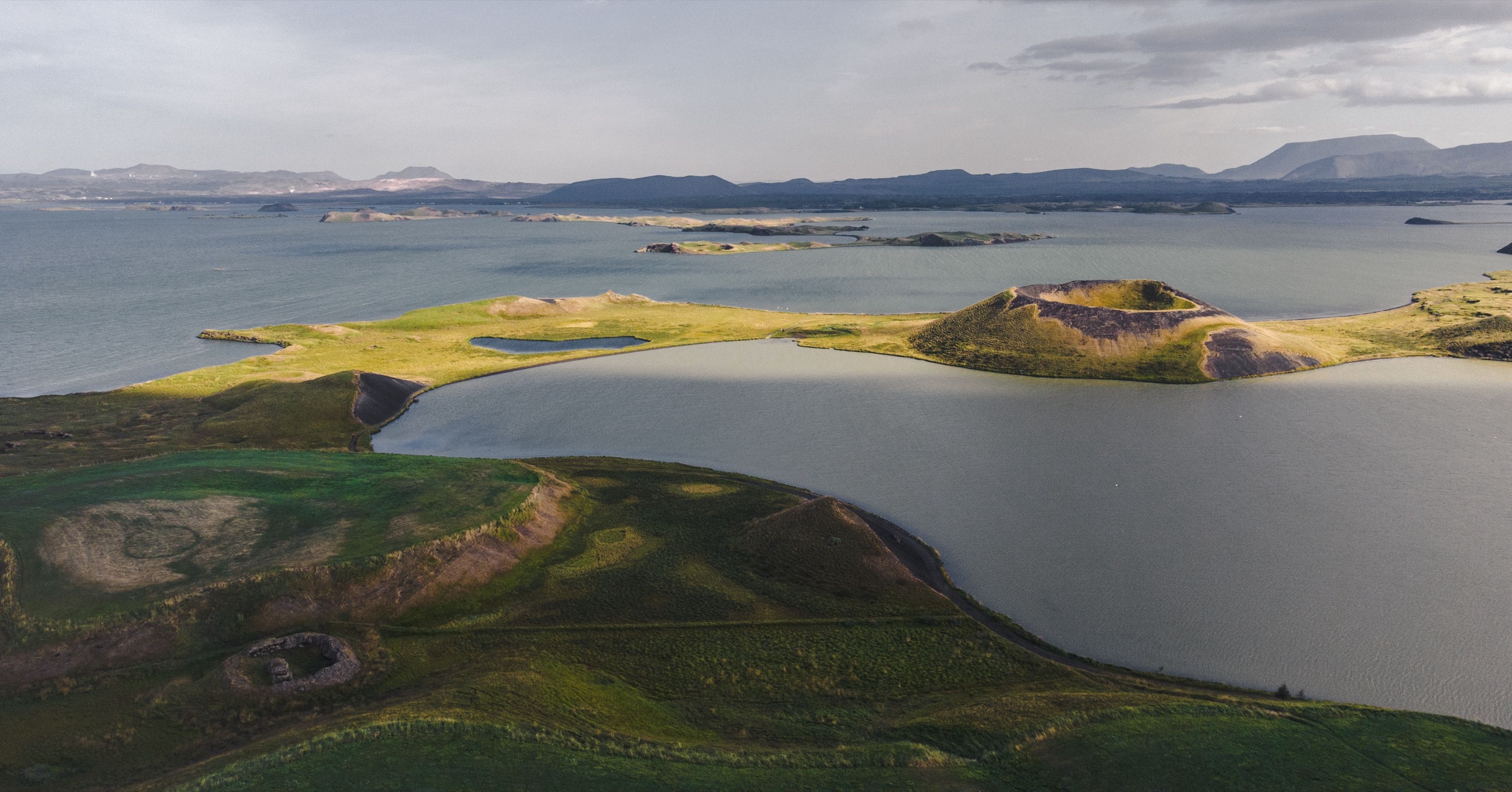
From a bed in Reykjahlíð, the rim of Hverfjall, the steaming lava at Krafla and the hot water of Earth Lagoon are each under half an hour's drive. In June and July the light lasts late enough to walk the craters after dinner.
Town guide, Iceland. Meridian Dispatch.
Ninety seconds on Mývatn
Two nights. One day covers Krafla, Leirhnjúkur and Hverir to the north and east; the other covers Hverfjall, Dimmuborgir and the pseudocraters on the south shore, with the lagoon at the end of either. A third night makes room for Askja while its mountain roads are open, or for Dettifoss and Ásbyrgi to the north-east.
Yes, for anything beyond the two villages. Strætó route 56 between Akureyri and Egilsstaðir stops only at Skútustaðir and Reykjahlíð, and in winter it does not run on Tuesdays or Thursdays. No bus reaches Krafla, Leirhnjúkur, Hverfjall or Dettifoss. In snow, Route 863 to Krafla may need a four-wheel drive; check umferdin.is before setting out.
July and August, when every road and tour is running, Askja's highland route included. May and June are the months for birds, and midges peak in late June and July. The northern lights show from September to early April, when snow and ice close some roads.
Icelandic. English is widely spoken at the hotels, cafés, the lagoon and the tour desks. Place names keep their Icelandic letters: ð is said like the th in 'this' and þ like the th in 'thin'.
The Icelandic króna, ISK. Cards are taken almost everywhere, including small cafés and fuel pumps. Parking is paid at Hverir and at the main Hverfjall car park. Hverir has nowhere to buy food or water, so carry both from Reykjahlíð.
Akureyri, AEY, 83 km west by road, with domestic flights of about 45 minutes from Reykjavík. Egilsstaðir, EGS, is about 166 km east on Route 1, across the high moorland of Möðrudalsöræfi. Keflavík, KEF, the international airport, is about 500 km away on Route 1, seven hours or more of driving, and the bus takes most of a day, with changes in Reykjavík and Akureyri.
Stay at Mývatn if the craters and the steam fields are the trip. If you want a town of restaurants, museums and hotels, stay in Akureyri, west along Route 1, and drive out for a long day.
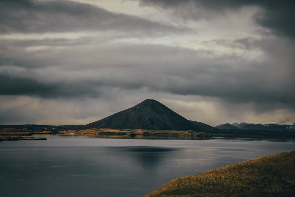
The sights ring one lake on Route 1, with Reykjahlíð, the main village, on its north-east shore. Most lie within a quarter of an hour's drive of it, and Krafla is up a paved side road to the north-east.
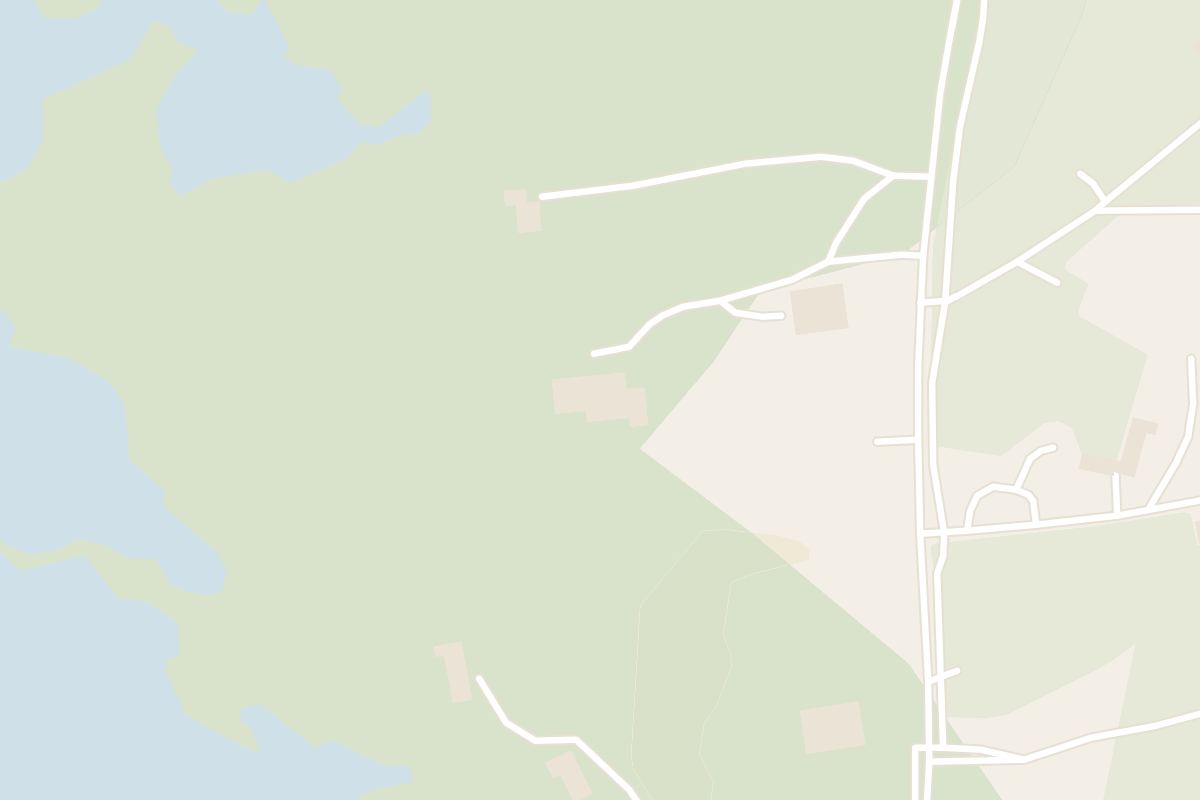
140 m
Vogafjós stands between Reykjahlíð and Skútustaðir. The lake's other hotels are in and near Reykjahlíð and at Skútustaðir.
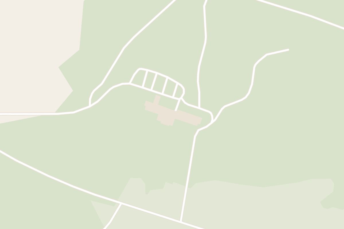
 At Vogar, 2 km from Reykjahlíð
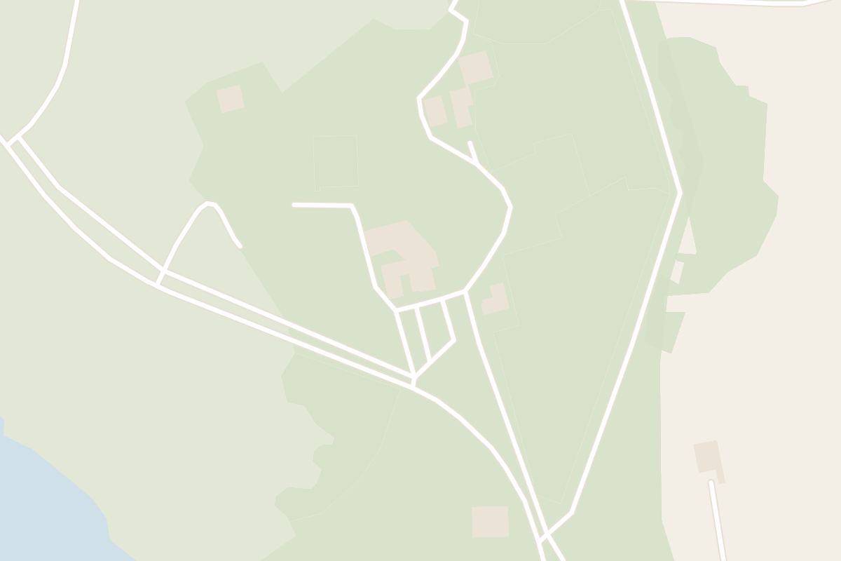
 47 min walk from Reykjahlíð
 7 min walk from Reykjahlíð
Thirteen places round the lake, and the Askja caldera in the highlands to the south.
Everything here but Krafla and Askja is on or beside Route 848, the road round the lake, or Route 1. Askja is three to four hours each way by mountain road.
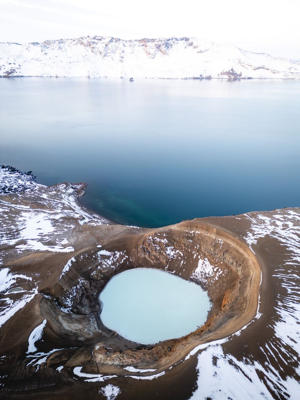
A day out across a lava desert to the highland caldera, which holds two lakes: deep blue Öskjuvatn and a milky crater lake also called Víti, a different crater from the Víti at Krafla.
Read the guide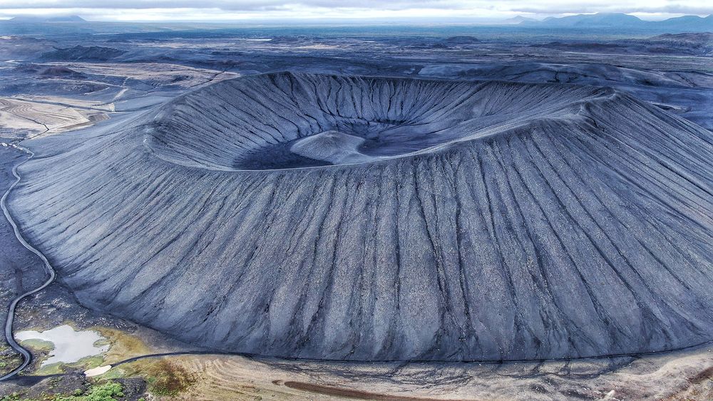
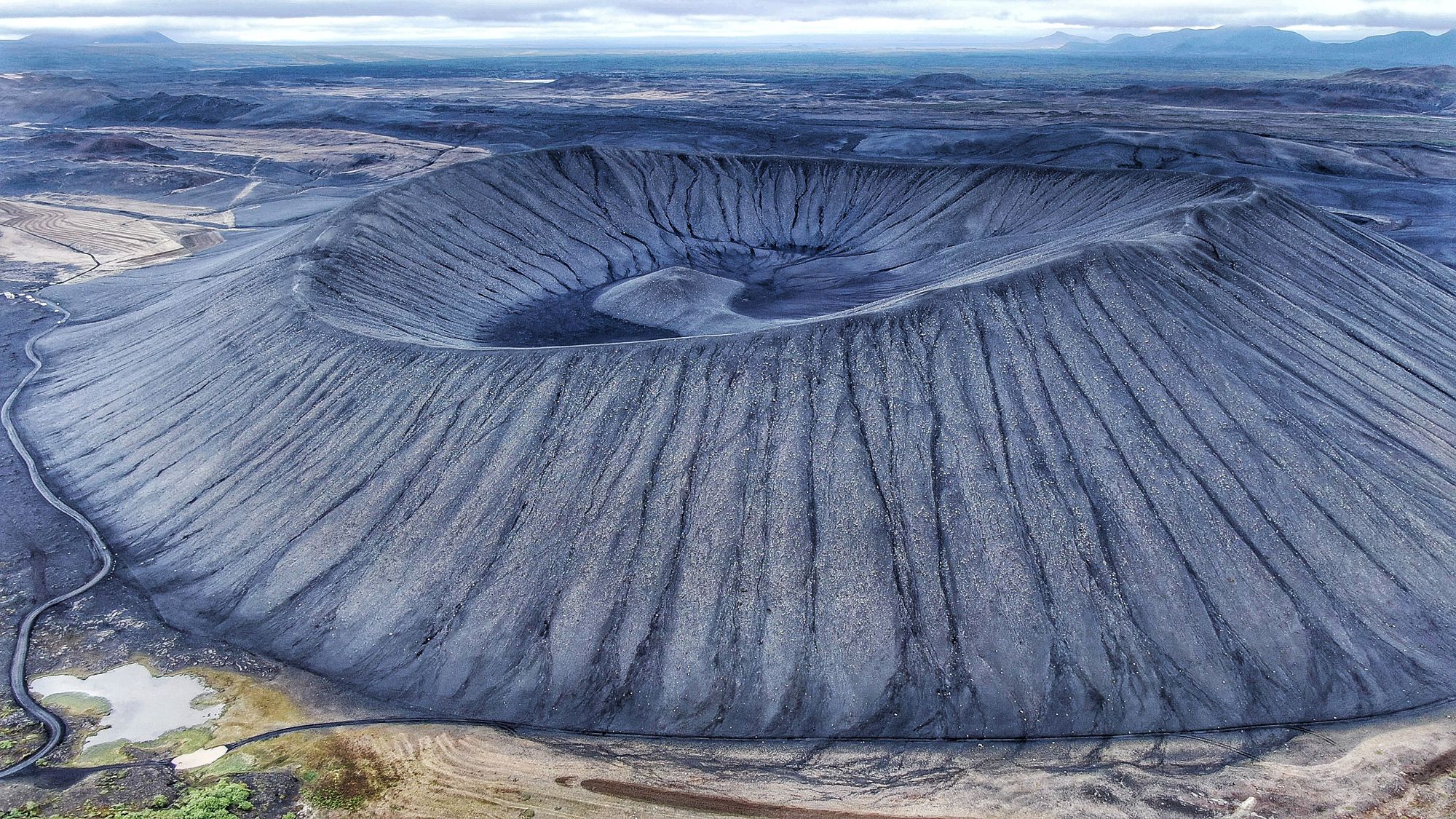
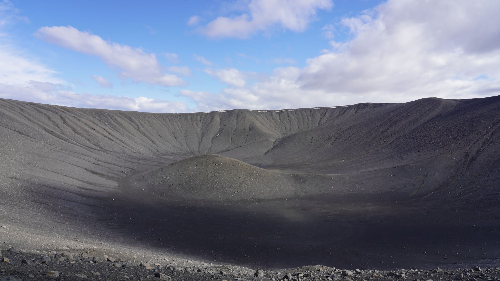
Two marked paths take you up loose black ash to the rim of a near-perfect ring, where you walk a full circle with Mývatn spread below on one side and a bare, dark bowl on the other.
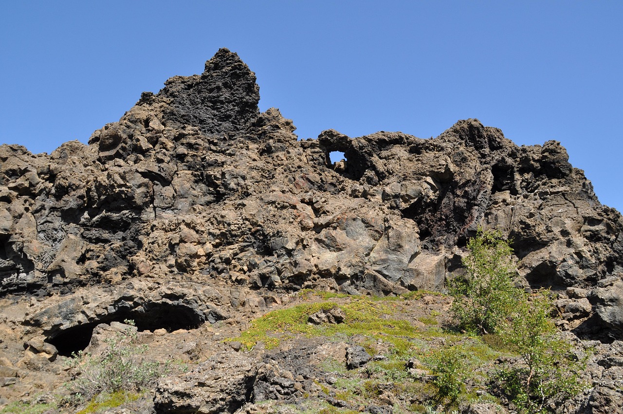
Read the guideA field of black lava towers, arches and small caves lies on Mývatn's east shore, and its longest marked loop brings you to Kirkjan, the formation known as the church.
Read the guide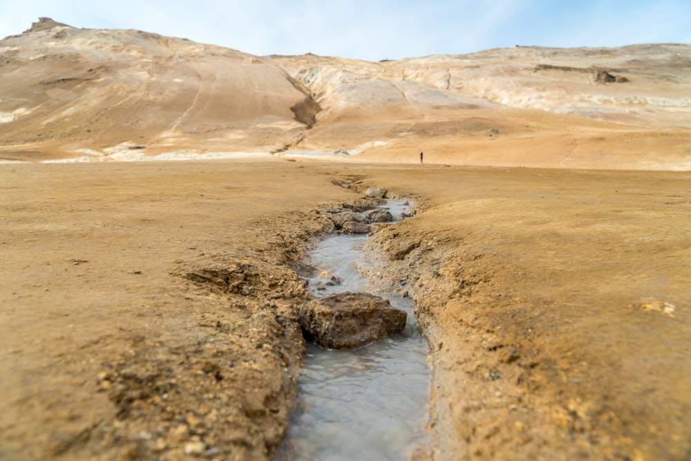
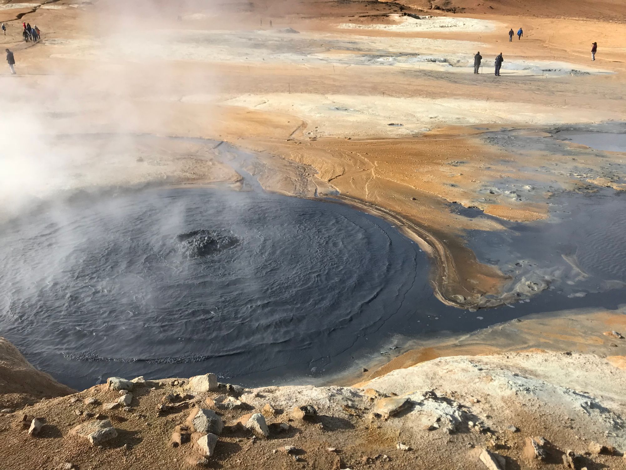
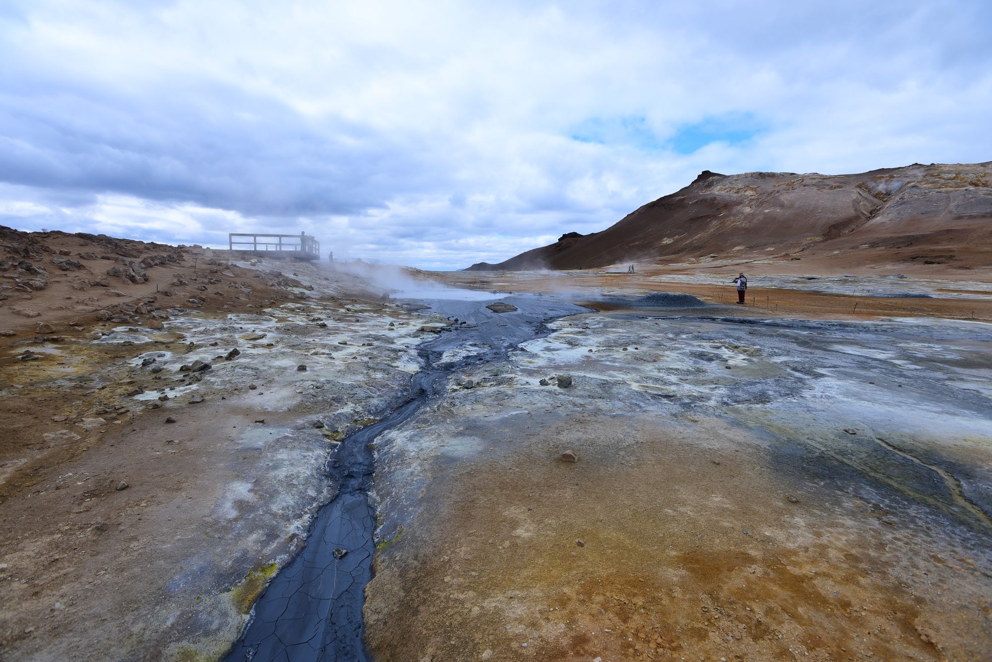
Walking the paths at Hverir takes you right past hissing steam jets and boiling grey mud, on open ground crusted yellow with sulphur and stained red with iron.
Read the guide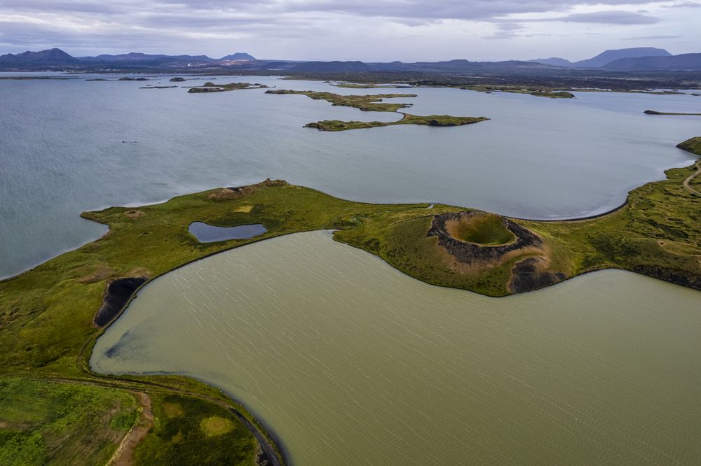
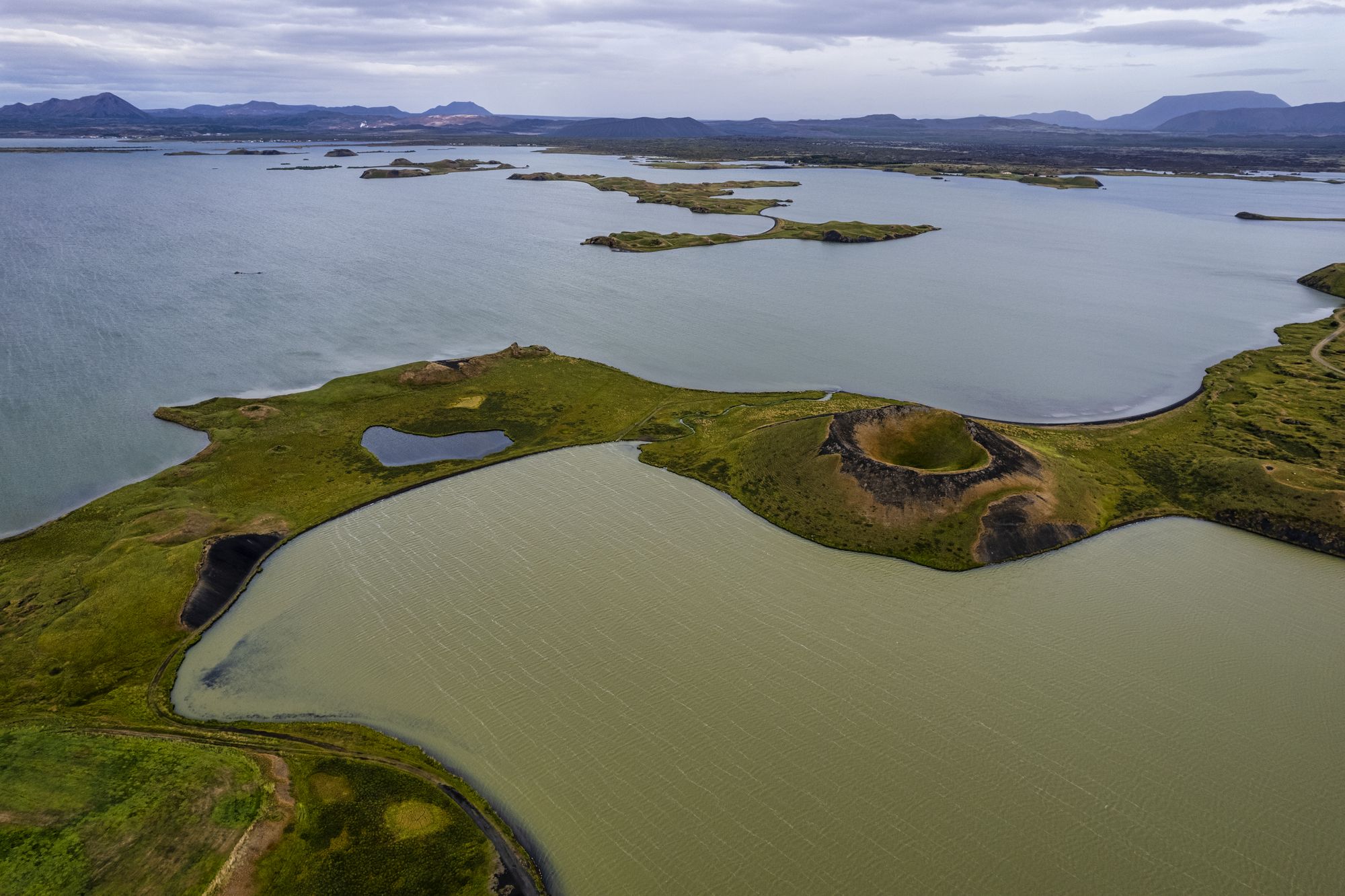
Steam explosions, not eruptions, built the grassy craters you walk among at Skútustaðir. Marked loops climb onto their rims above Mývatn's south shore, with the lake and its wetland birds all round you.
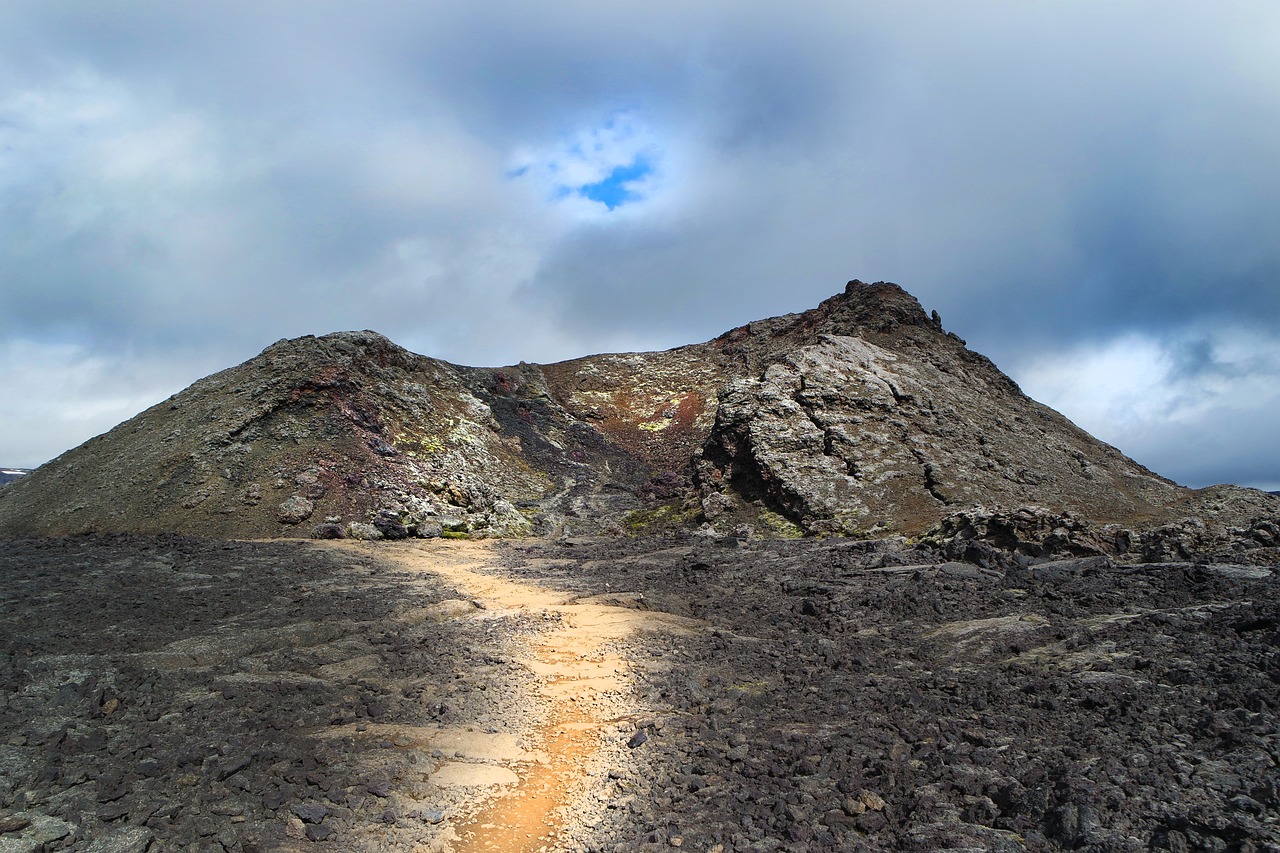
Read the guideFrom the Leirhnjúkur car park on Route 863, two marked loops cross black lava that still steams on both sides of the path. A boardwalk carries you over the hottest ground, at the foot of the yellow hill.
Read the guide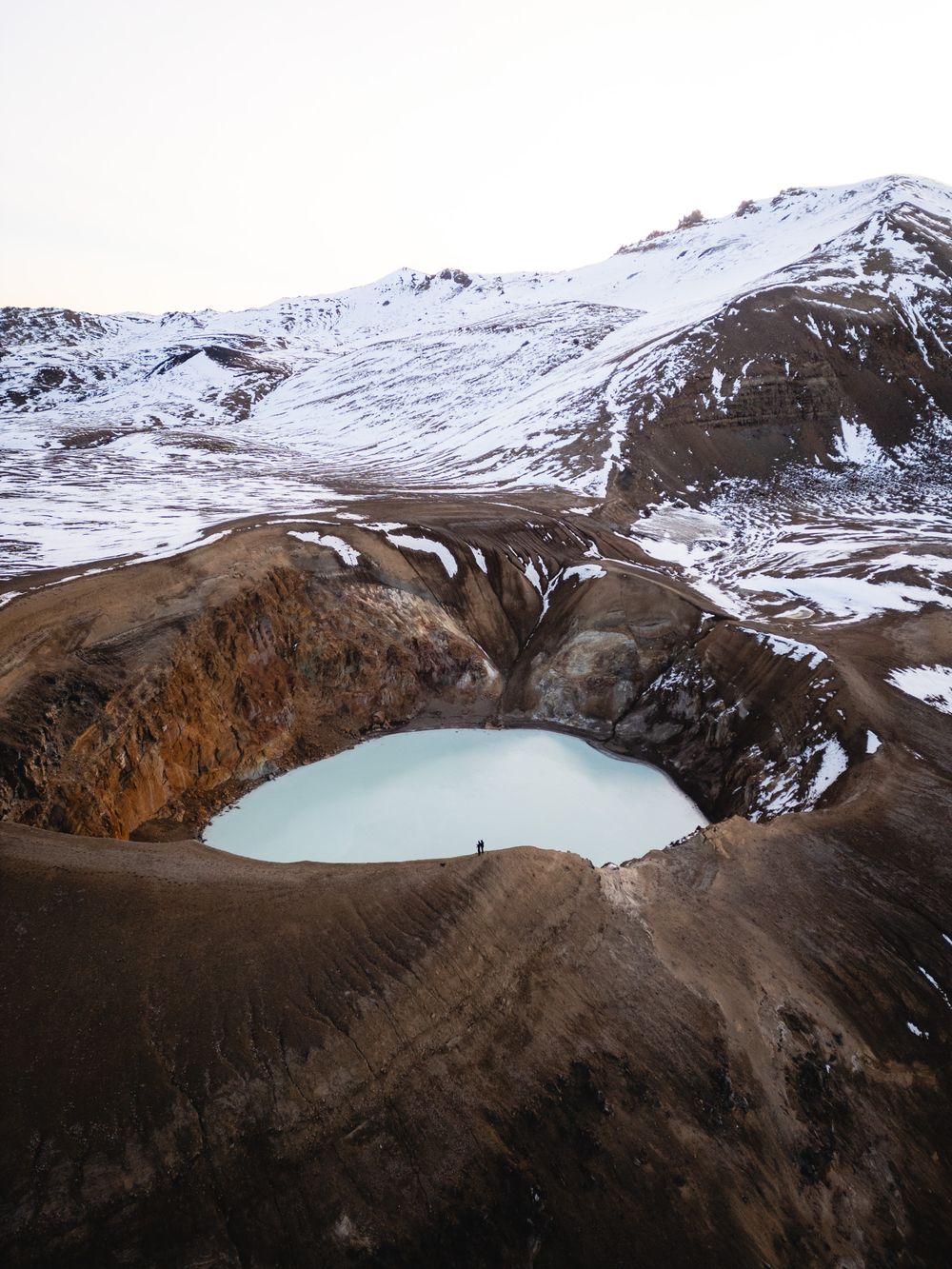
Three hundred metres across, Víti is an explosion crater under Krafla mountain with a milky-blue lake in its floor, and you can be on its rim within a few steps of the car.
Read the guideClimb Vindbelgjarfjall for a full circle of view over Lake Mývatn, its wetlands and the Skútustaðir pseudocraters, from the top of a steep marked path on the lake's west side.
Read the guidePaths wind through planted woodland on a headland on the east shore and drop to small coves. An unhurried loop takes about an hour.
The lake's hot-water lagoon, on the slope above Route 1 a few minutes east of Reykjahlíð. In winter, watch the sky from the water for the northern lights.
A lava fissure about 2 km south-east of Reykjahlíð, with a clear blue hot spring in the cave beneath its roof. Look from the edge; the water is not for bathing.
A narrow rift at the edge of Reykjahlíð with clear warm water at the bottom. Swimming in it is not advised.
Next to Höfði, a farm track leads to the Klasar, lava pillars and arches at the water's edge, on a short level walk. Keep to the marked path, which crosses working farmland.
A collection of mounted birds and their eggs at Ytri-Neslönd on the north shore, covering nearly every species that nests in Iceland. From the viewing room, scopes look out over the lake.
The crater walks are at Skútustaðir on the south shore, the woodland paths at Höfði on the east shore, and the bird museum at Ytri-Neslönd on the north shore. Between 15 May and 20 July, walkers in the lake's bird protection areas must keep to the marked trails.
Steam explosions, not eruptions, built the grassy craters you walk among at Skútustaðir. Marked loops climb onto their rims above Mývatn's south shore, with the lake and its wetland birds all round you.
Read the guidePaths wind through planted woodland on a headland on the east shore and drop to small coves. An unhurried loop takes about an hour.
A collection of mounted birds and their eggs at Ytri-Neslönd on the north shore, covering nearly every species that nests in Iceland. From the viewing room, scopes look out over the lake.
Steam vents and mud pots stand beside the Ring Road east of Reykjahlíð, and warm water lies in the lava rifts near the village. Keep to the marked paths: off them the crust can give way into boiling mud.
Walking the paths at Hverir takes you right past hissing steam jets and boiling grey mud, on open ground crusted yellow with sulphur and stained red with iron.
Read the guideThe lake's hot-water lagoon, on the slope above Route 1 a few minutes east of Reykjahlíð. In winter, watch the sky from the water for the northern lights.
A lava fissure about 2 km south-east of Reykjahlíð, with a clear blue hot spring in the cave beneath its roof. Look from the edge; the water is not for bathing.
A narrow rift at the edge of Reykjahlíð with clear warm water at the bottom. Swimming in it is not advised.
Both climbs follow marked paths, so no guide is needed. The wind on top is often strong: carry a windproof layer and a hat that fastens.
Two marked paths take you up loose black ash to the rim of a near-perfect ring, where you walk a full circle with Mývatn spread below on one side and a bare, dark bowl on the other.
Read the guideClimb Vindbelgjarfjall for a full circle of view over Lake Mývatn, its wetlands and the Skútustaðir pseudocraters, from the top of a steep marked path on the lake's west side.
Read the guideThese walks cross rough lava on marked paths, so wear sturdy shoes, and in winter carry ice cleats to pull over them.
A field of black lava towers, arches and small caves lies on Mývatn's east shore, and its longest marked loop brings you to Kirkjan, the formation known as the church.
Read the guideNext to Höfði, a farm track leads to the Klasar, lava pillars and arches at the water's edge, on a short level walk. Keep to the marked path, which crosses working farmland.
Krafla is the volcano north-east of the lake, on paved Route 863 off the Ring Road. Near the vents the ground can be hot enough to melt soft soles, so wear walking shoes with grip.
From the Leirhnjúkur car park on Route 863, two marked loops cross black lava that still steams on both sides of the path. A boardwalk carries you over the hottest ground, at the foot of the yellow hill.
Read the guideThree hundred metres across, Víti is an explosion crater under Krafla mountain with a milky-blue lake in its floor, and you can be on its rim within a few steps of the car.
Read the guideSnow shuts the mountain roads to Askja for most of the year; they usually open in late June or early July and close from mid-September. Tours leave Reykjahlíð in the morning and take the whole day. To drive yourself you need a high-clearance four-wheel drive.
A day out across a lava desert to the highland caldera, which holds two lakes: deep blue Öskjuvatn and a milky crater lake also called Víti, a different crater from the Víti at Krafla.
Read the guideDrive east from Reykjahlíð on Route 1 over the Námaskarð pass to Hverir, about 6 km, and pay for parking at the car park before you walk. The flat loop runs between the mud pots and steam vents. In rain, leave out the clay path up Námafjall, which turns very slippery.
A few minutes further east, turn north onto Route 863 for Krafla. Stop first at the Leirhnjúkur car park: the short loop over the lava takes about an hour, the long one about 1 hour 45. Then drive on to the end of the road for Víti, and walk its rim from the right-hand side, the easier one.
Drive back west over the pass and end the afternoon in hot water at Earth Lagoon Mývatn, just before Reykjahlíð. In summer, book it ahead.
Keep the south and east shores for a second day. Climb Hverfjall from the paid car park on its north-west side: about 20 minutes up loose ash to the rim, and about an hour and a quarter for the whole walk. At Dimmuborgir, a few minutes south on Route 848, the red Church Circle reaches Kirkjan in about an hour; in winter only the loop nearest the car park is kept clear.
End the day at Skútustaðagígar on the south shore. Park on Route 848 by the Gígur visitor centre and walk the Pond ring, 3.5 km round Stakhólstjörn and over the rim of the largest crater, in about an hour.
Akureyri's airport, on the edge of town, takes the domestic flights from Reykjavík. From there Route 1 runs east to the lake through the Vaðlaheiði tunnel (Vaðlaheiðargöng).
Book the car before you fly and collect it at the airport; the same car takes you round the lake road and up to Krafla. The Vaðlaheiði tunnel has no toll booth, so ask the hire firm how the toll is paid.
Route 56 runs from Akureyri to Reykjahlíð and Skútustaðir on its way to Egilsstaðir. Its days and times change with the season, so check them on straeto.is before you fly.
Every Iceland town, place and dispatch, on one map.

Base yourself here and most of north Iceland becomes a day trip from one bed: whale boats leave from the harbour.

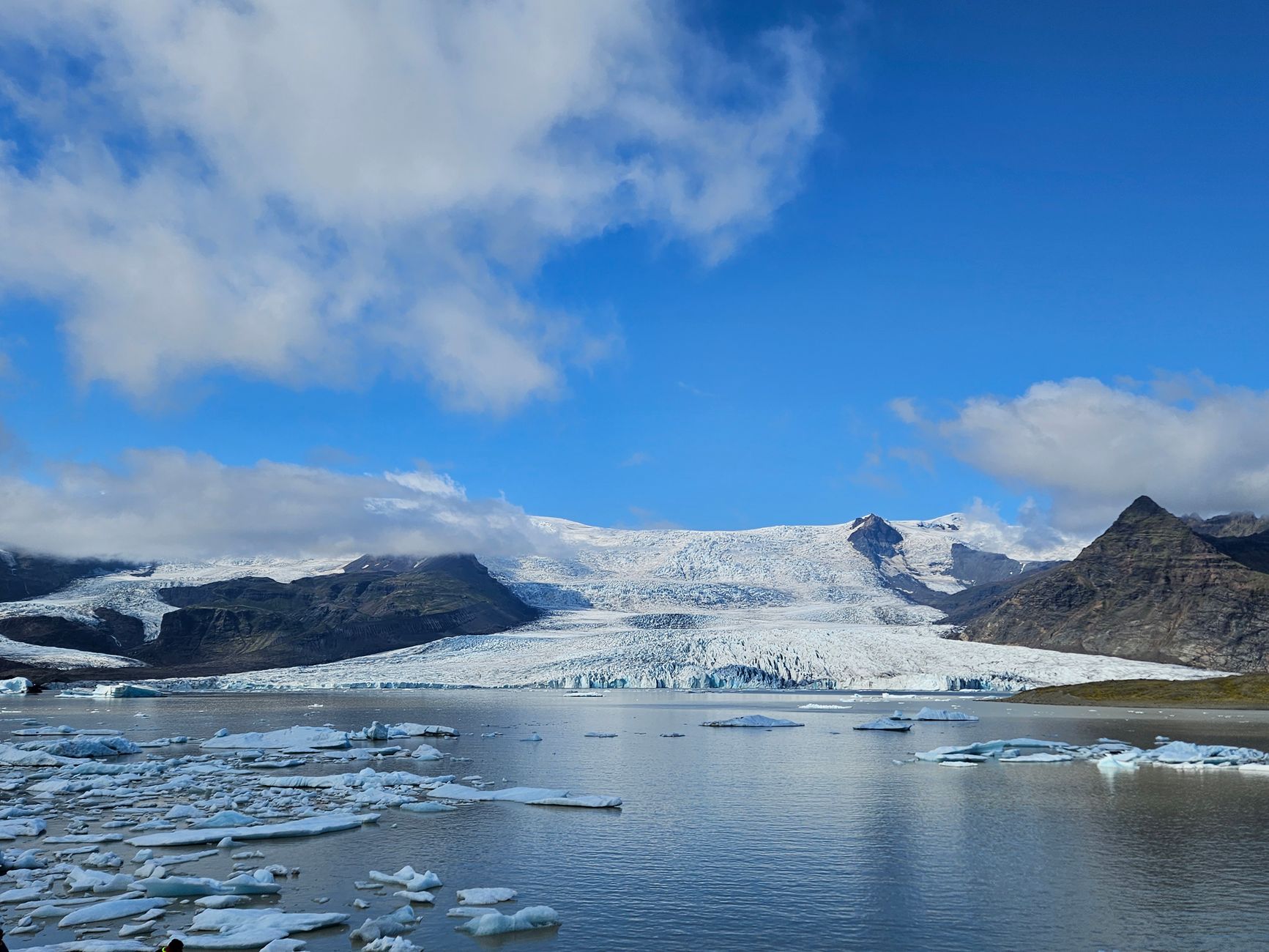
From the Ring Road between Akureyri and Mývatn, you can step out above a horseshoe of falling water.

A fishing town of about 2,400 on the east shore of Skjálfandi bay, about 58 km short of the Arctic Circle.
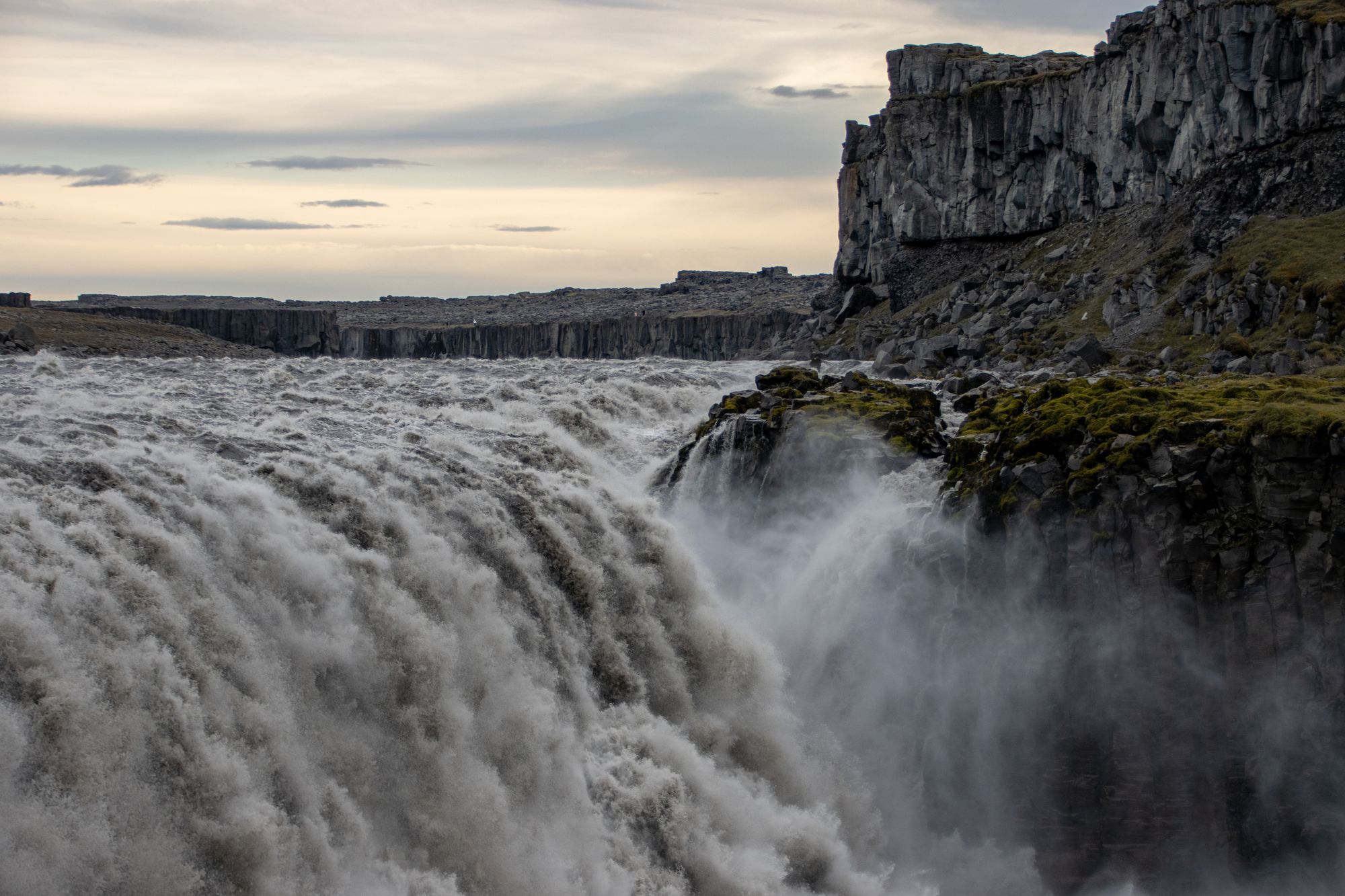
Worth every minute of the detour off the Ring Road: you see Europe's most powerful waterfall first as a cloud of spray over the canyon.
The official pages this guide was checked against.
Last updated