Globe Countries Cities Itineraries World's Best Hotels Events Login
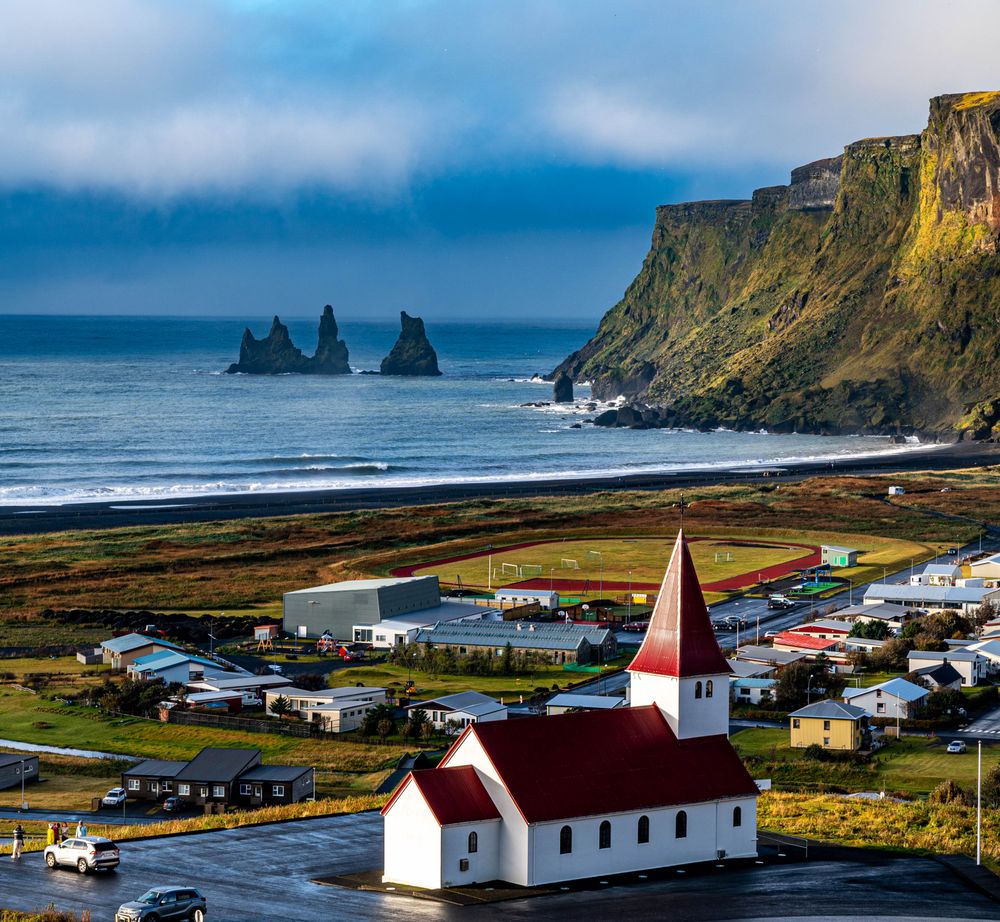
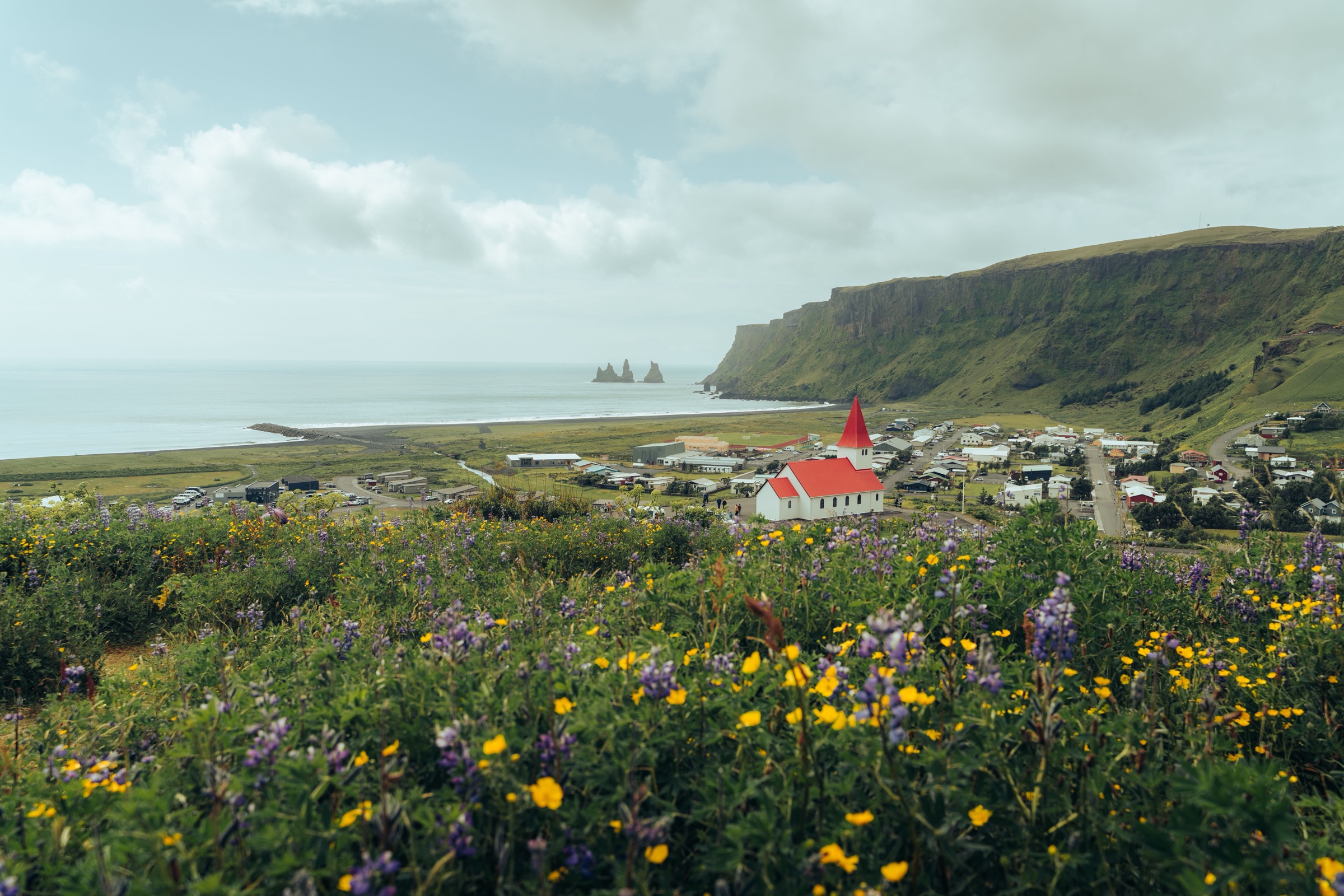
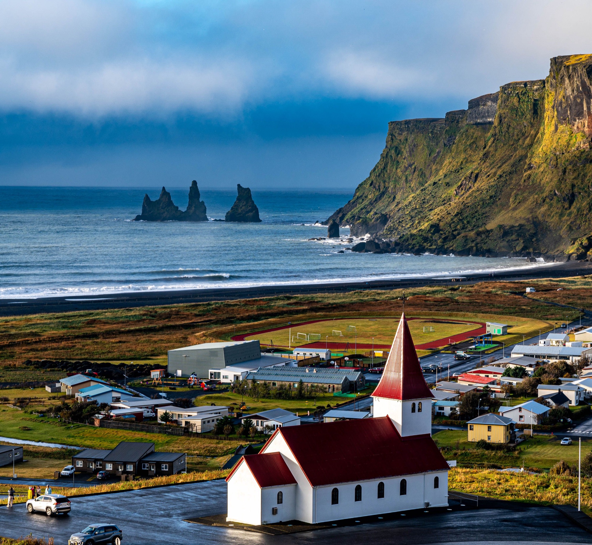
Vík from the hillside above, wild lupins in front, the red-roofed church among the houses and the Reynisdrangar stacks off the end of Reynisfjall

Vík

View on globe

Storms on this coast close the Ring Road and Reynisfjara for hours at a time. With two nights in the village, a short drive from Reynisfjara, you wait out a closure and drive back when it lifts.

Town guide, Iceland. Meridian Dispatch.

Why you should go

Ninety seconds on Vík

How long
Two nightsa full day west to Skógar, and a spare for weather
Getting around
A carthe bus runs four days a week and misses the beaches and cliffs
When
June to Augustlong light and open side roads; puffins from May
Language
IcelandicEnglish widely spoken at hotels and tour desks
Money
Icelandic króna (ISK)cards almost everywhere, car park fees paid by app or machine
Airports
Keflavík KEFabout three hours west by road
How long

How many nights do you need in Vík?

Two nights. One full day covers Reynisfjara, Dyrhólaey and the road west to Skógafoss, and the evenings leave time for Víkurfjara below the village. A third night adds a day east, at Hjörleifshöfði or the canyon of Þakgil, or a spare day when a storm closes the roads.

Getting around

Do you need a car in Vík?

Yes: Reynisfjara, Dyrhólaey, Sólheimajökull and the plane wreck are all a drive from the village, and the Strætó bus between Reykjavík and Höfn stops at none of them. A two-wheel-drive car reaches most sights. The gravel road to Þakgil opens in summer only, and the gravel road up to the Dyrhólaey lighthouse often closes in winter for ice and high wind.

When

When is the best time to visit Vík?

June to August, when the nights stay light and the side roads are open. Puffins are on the cliffs from May, but until late June the top of Dyrhólaey closes overnight for the nesting season. Winter brings short days, strong wind and storms that can close the Ring Road across Mýrdalssandur.

Language

What language is spoken in Vík?

Icelandic. English is widely spoken in the village, and road signs and maps use the Icelandic place names.

Money

What currency is used in Vík?

The Icelandic króna, ISK. Cards, including contactless, are taken almost everywhere, from cafés to the parking machines, so little cash is needed. Parking fees apply at the Reynisfjara, Sólheimasandur and Skógafoss car parks, paid by app or at the machine.

Airports

Which airport do you fly into for Vík?

Keflavík, KEF, the international airport, 226 km west along Route 41 and Route 1. Vík has no airport of its own.

Should you stay in Vík?

Stay in Vík if the black beaches, the puffin cliffs and the ice of Mýrdalsjökull are the trip. Hvolsvöllur, 81 km west, is the base for Seljalandsfoss and the Westman Islands ferry.

Vík suits you if

  • You want Reynisfjara and Dyrhólaey within 20 minutes of your bed.
  • You want to walk from your room to a black beach with sea stacks off its end.
  • You want the Katla ice cave, whose super jeep tours leave from the village.

Hvolsvöllur suits you better if

  • You want a shorter first drive from Keflavík and Reykjavík.
  • You want Seljalandsfoss, the falls you can walk behind, close at hand.
  • You are taking the ferry to the Westman Islands from Landeyjahöfn.
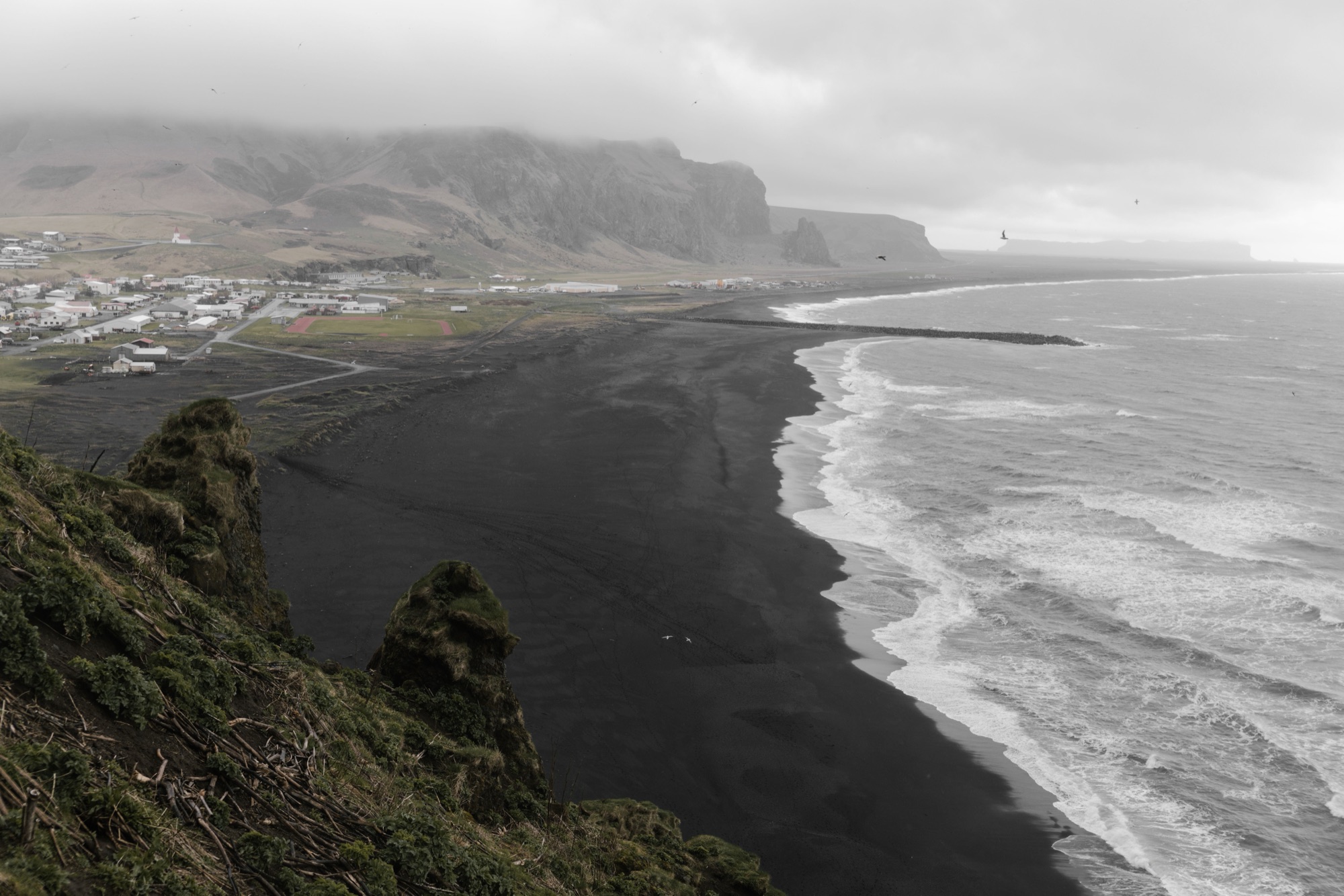
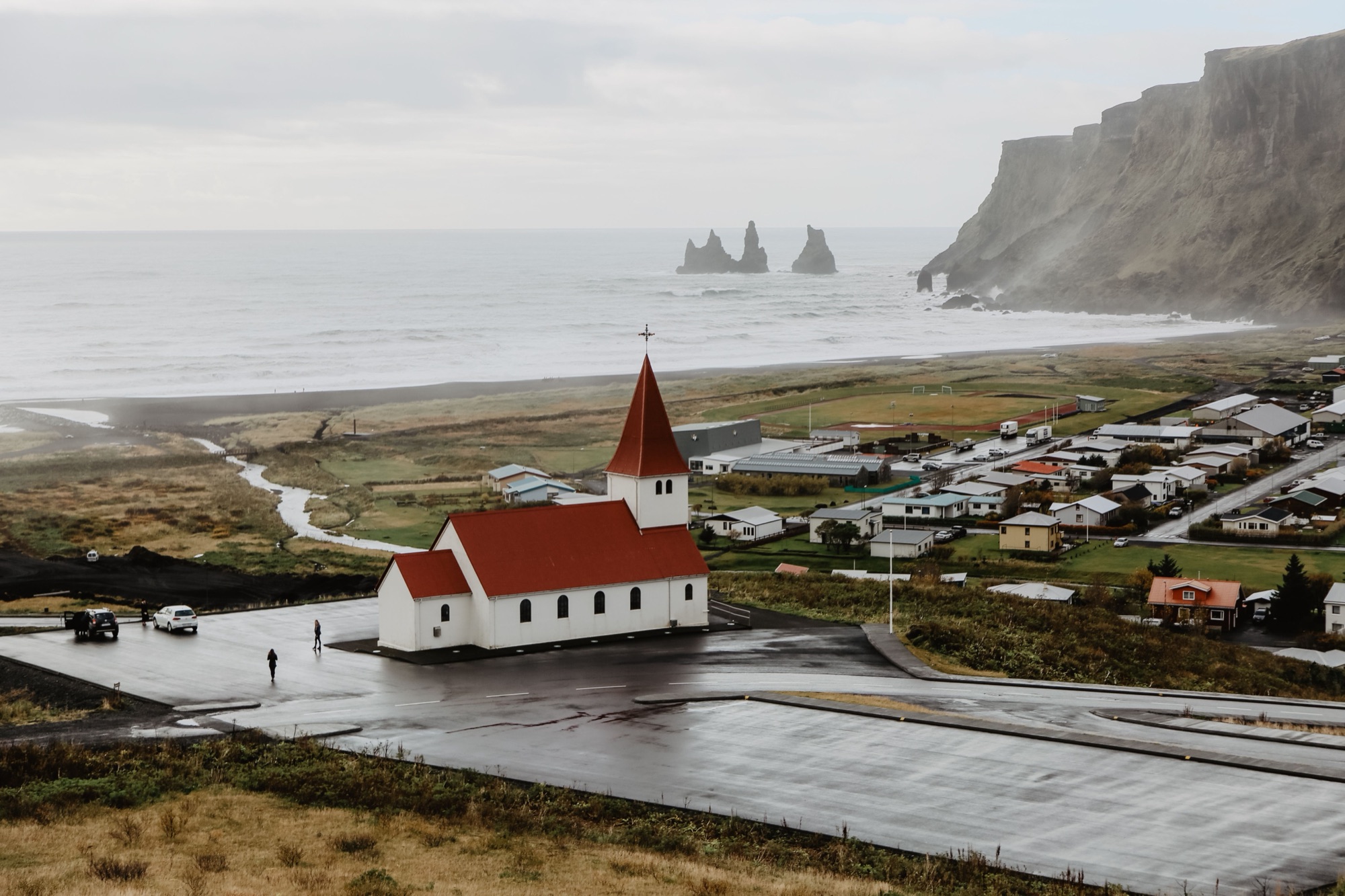
Víkurkirkja, white with a red roof, above the village rooftops, with the black beach and the Reynisdrangar stacks beyond under an overcast sky
Víkurkirkja above the rooftops, the Reynisdrangar stacks off the beach

What Vík does best

Vík sits on the Ring Road between the black beach Víkurfjara and the Mýrdalsjökull ice cap. The beaches, cliffs, glaciers and waterfalls this coast is known for lie within about 35 km of the church.

Black beaches, Vík
Black beachesVíkurfjara below the village, and Reynisfjara under basalt columns to the west.
Cliffs and puffins, Vík
Cliffs and puffinsPuffins nest on the cliffs of Dyrhólaey and Reynisfjall from May to August.
The village, Vík
The villageA church above the roofs, the Katla exhibition in the old trading house, and a show that pours molten basalt in front of you.
Glaciers and ice, Vík
Glaciers and iceWalk to the snout of Sólheimajökull, or ride a super jeep to an ice cave under Katla.
West to Skógar, Vík
West to SkógarSkógafoss, Kvernufoss and the Skógar museum, and the DC-3 wreck on Sólheimasandur, 24 to 35 km west.
East over the sands, Vík
East over the sandsHjörleifshöfði, 13 km east on the black plain, and the green canyon of Þakgil at the end of a summer gravel road.
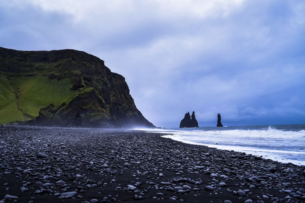
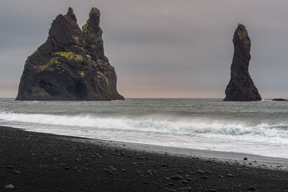
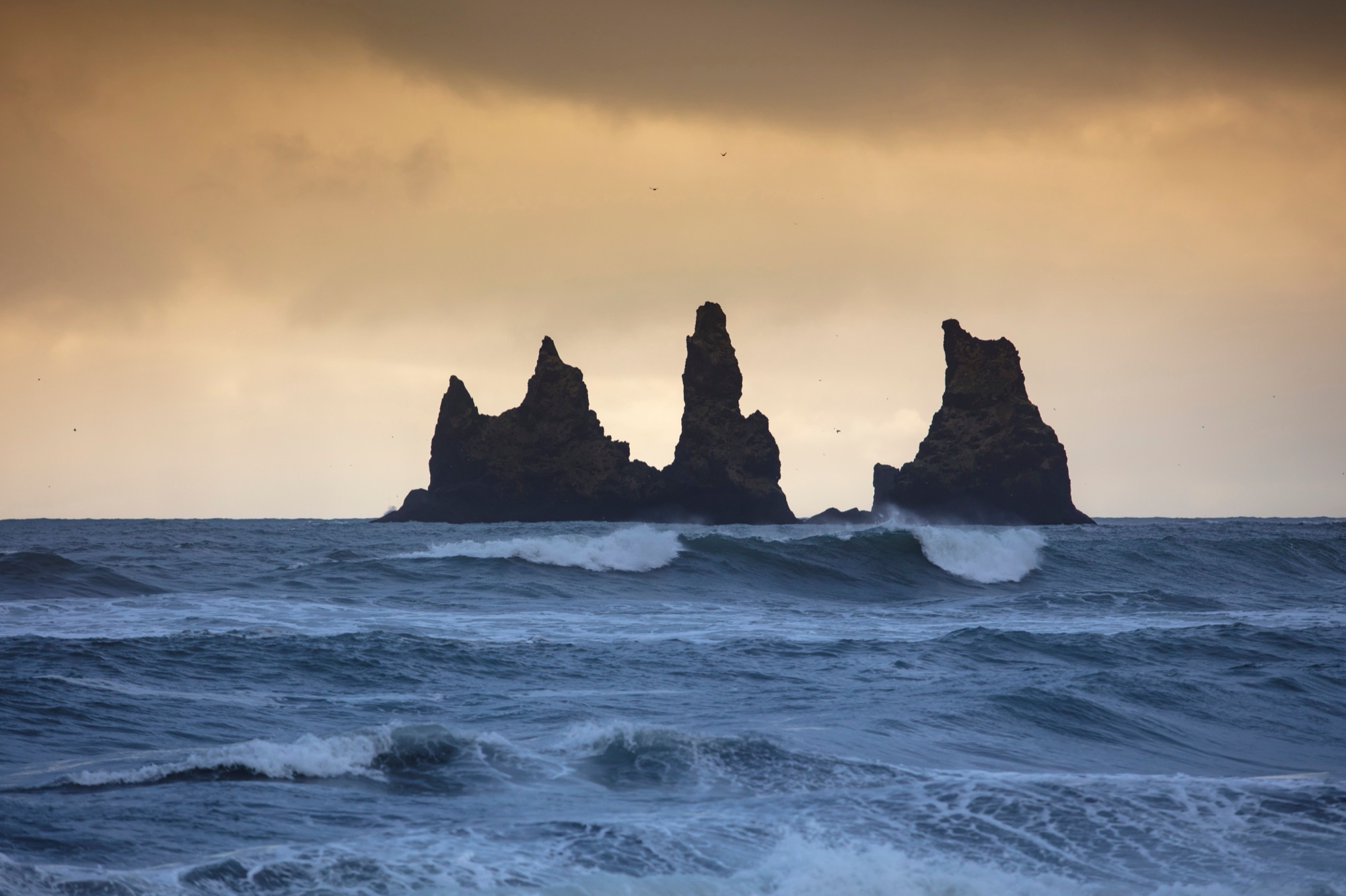
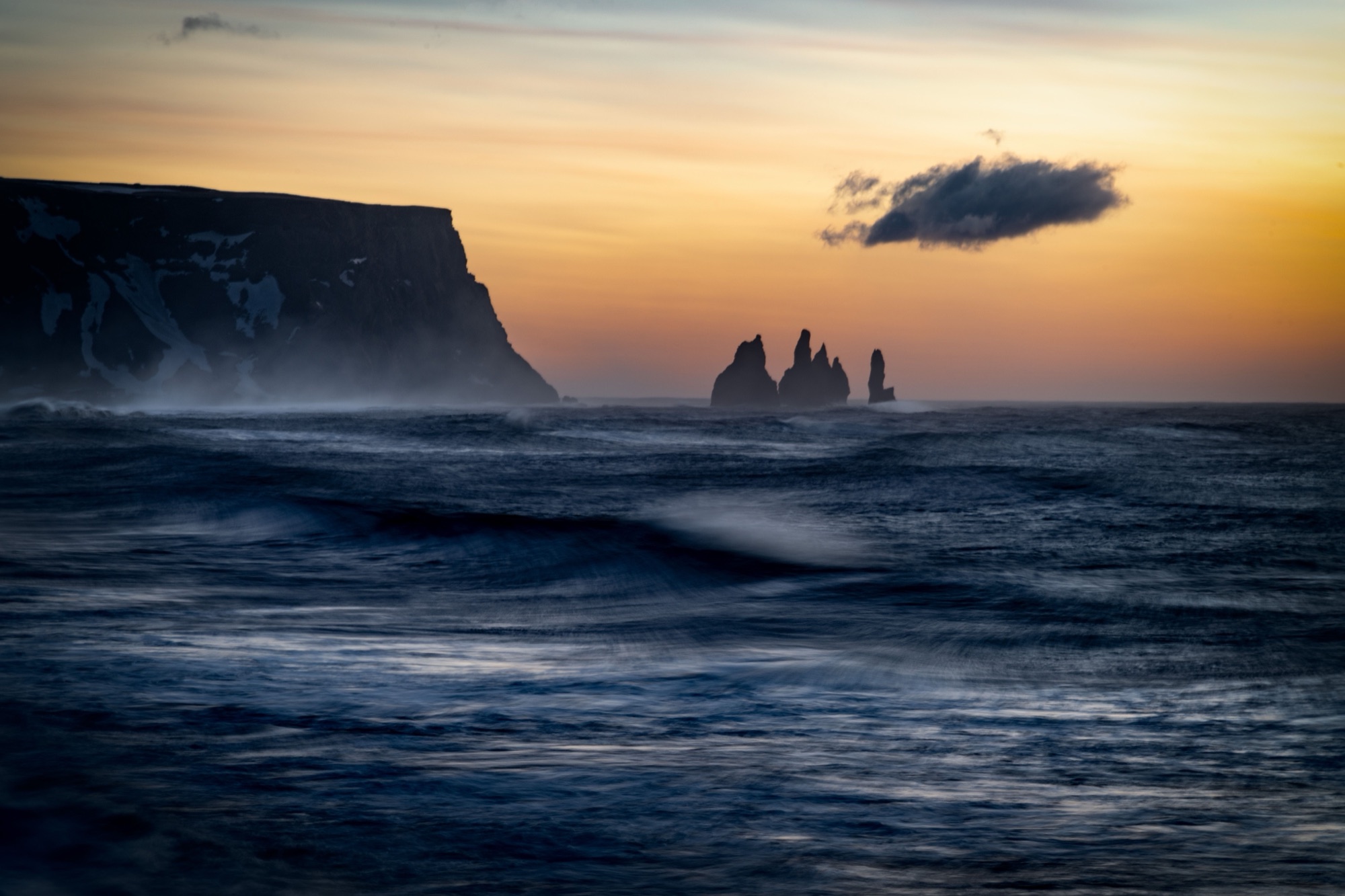
The Reynisfjall headland and the Reynisdrangar stacks at dusk, with long-exposure surf off Vík
The height of the tallest Reynisdrangar stack, off the end of the beach
66 metres

Where to stay in Vík

Two hotels stand in the village, Hotel Vík í Mýrdal and Hótel Kría, each within about a kilometre of Víkurfjara.

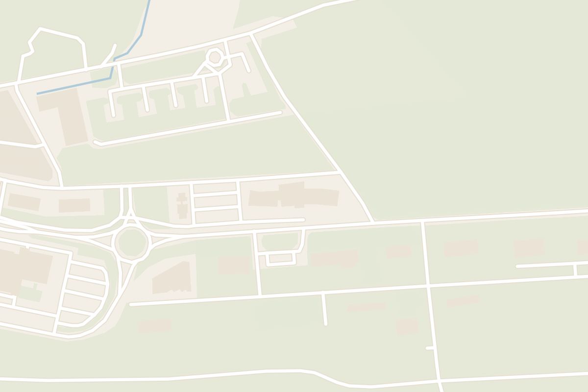
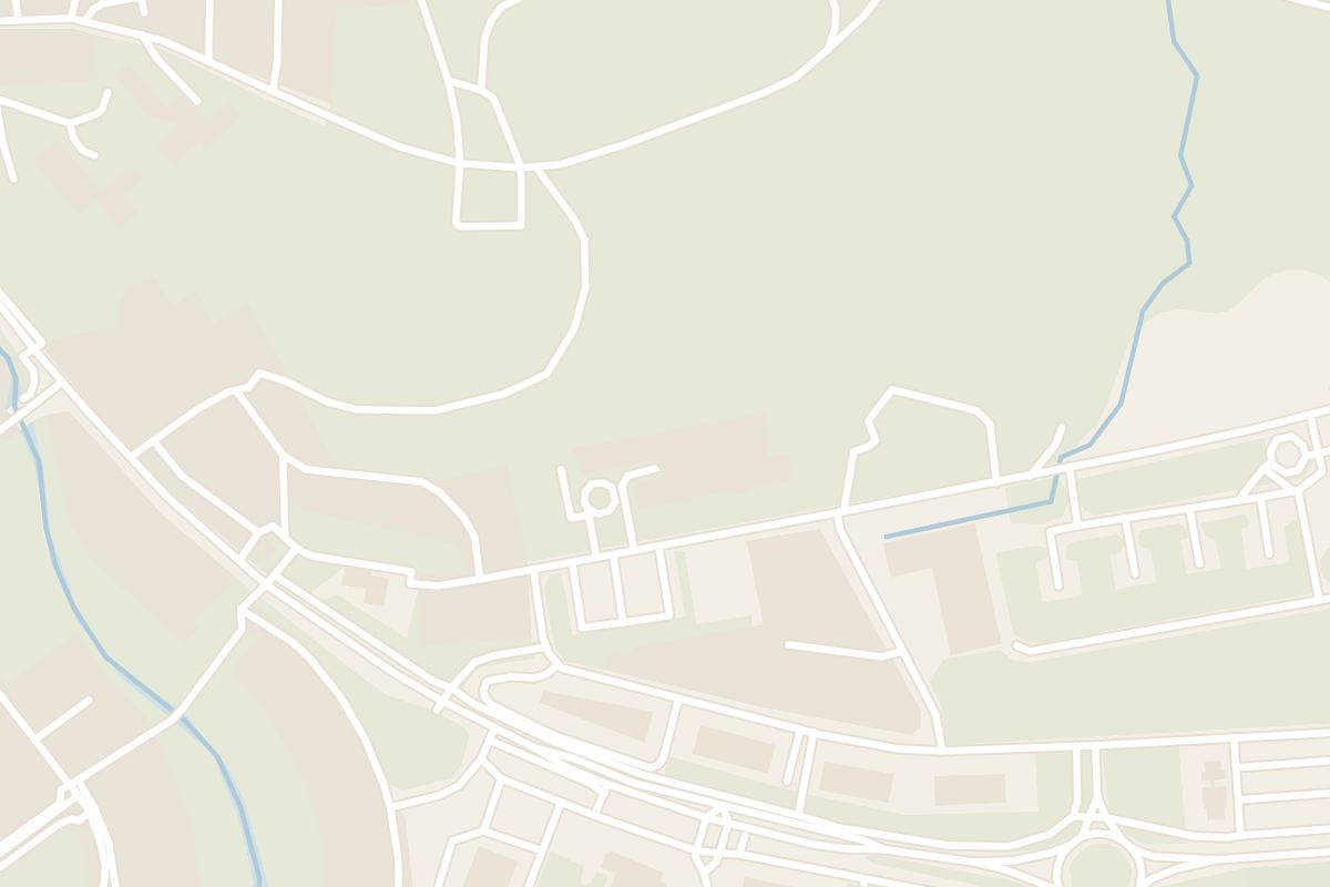
Map of Hotel Vík í Mýrdal2 min walk from Víkurkirkja
Hotel Vík í MýrdalHotel Vík í Mýrdal, Klettsvegur 1-5, Vík: 80 rooms, buffet breakfast with every booking, the BERG restaurant, a bar, a gym and a 24-hour front desk.
Map of Hótel Kría9 min walk from Víkurkirkja
Hótel KríaHótel Kría stands beside the Ring Road in Vík, with mountain view rooms, the Drangar restaurant, breakfast included and Reynisfjara 14 minutes by car.
Vík's black beach and the village under low cloud, seen from the slope of Reynisfjall

Things to do in Vík

Grouped by kind of place: beaches, puffin cliffs, the village, the ice, and the roads west and east.

The church, the beach and the village houses are a walk apart. Everything else is a drive on or off Route 1, and each card gives the road distance from the village.

Reynisfjara Beach

Reynisfjara Beach

Beach · 1 hrNo. 1 beach in Iceland

11 km by road from the church, round the far side of Reynisfjall: black sand under basalt columns, with the stacks offshore. Check the warning light at the entrance. On orange keep at least 25 metres from the water, and on red only the viewing area is open.

Read the guide
Dyrhólaey

Dyrhólaey

Landmark · 1 hr 30 minNo. 3 viewpoint in Iceland

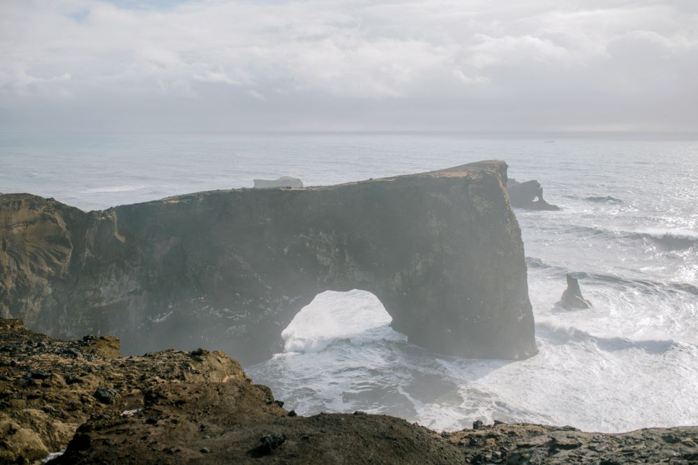
A headland 18 km west of the village by road, with a sea arch below and a lighthouse on the higher hill looking inland to Mýrdalsjökull. Through the nesting season, from early May to late June, the headland closes overnight; nattura.is posts the year's dates in spring.

Read the guide
Skógafoss

Skógafoss

Waterfall · 45 minNo. 6 in Iceland

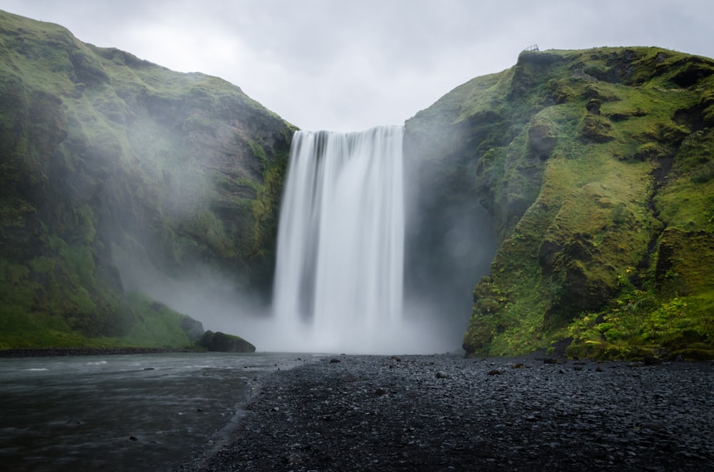
A 60 metre fall on the Skógá river at Skógar, 35 km west of the village. Stand in the spray at its foot, then climb the staircase on the east side to a platform over the lip, where the Fimmvörðuháls trail starts.

Read the guide
Katla Ice Cave

Katla Ice Cave

Other · 3 hr

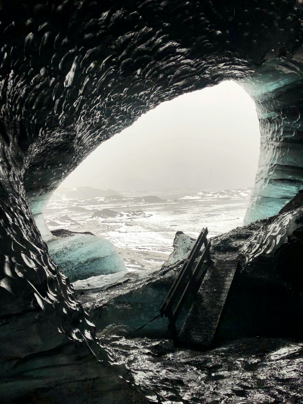
An ice cave in Kötlujökull, an outlet glacier of Mýrdalsjökull north-east of the village, reached only on a guided super jeep tour from Vík. Tours run all year and take about three hours; book ahead.

Read the guide
Sólheimajökull

Sólheimajökull

Natural Wonder · 3 hr

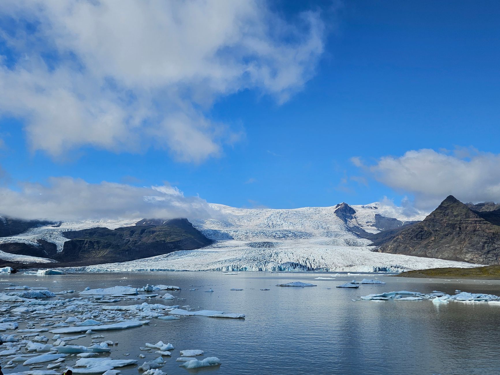
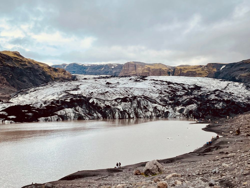
An outlet tongue of Mýrdalsjökull, 31 km west of the village by road, ending in a meltwater lagoon a flat walk from the car park. To climb onto the ice, go with a certified glacier guide, who supplies the crampons.

Read the guide
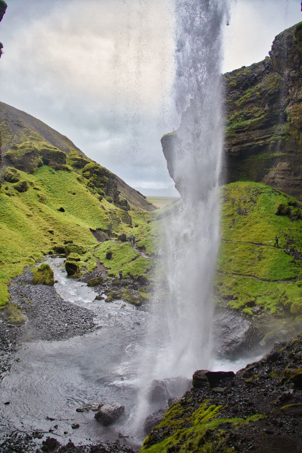
Kvernufoss

Kvernufoss

Waterfall · 1 hr

A waterfall in a narrow gorge just east of Skógafoss, on a path that starts behind the Skógar museum; there and back takes 30 to 40 minutes. The path leads behind the falling water, so carry a waterproof.

Read the guide
Sólheimasandur Plane Wreck

Sólheimasandur Plane Wreck

Landmark · 2 hrNo. 4 landmark in Iceland

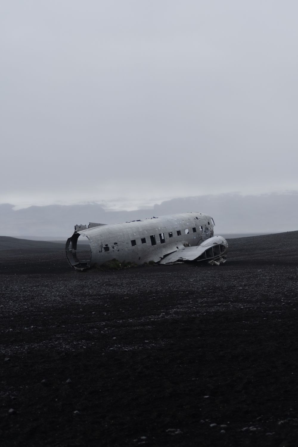
The stripped fuselage of a US Navy DC-3 on the black outwash plain, reached from a car park on Route 1 about 24 km west of the village. The marked path out is about 4 km each way, flat and exposed: allow two hours on foot there and back, or take the shuttle from the car park. Climbing on the wreck is not allowed.

Reynisdrangar

Reynisdrangar

Landmark

Basalt sea stacks off the end of Reynisfjall, in full view from Víkurfjara with no drive at all. Folklore makes them trolls caught by daylight while hauling a ship ashore.

Víkurkirkja

Víkurkirkja

Church

Walk up the slope to the church for the view over the rooftops to the beach and the stacks.

Víkurfjara

Beach · 1 hr

The black beach in front of the village, a few minutes' walk from the church. The same Atlantic swell reaches this shore as Reynisfjara's, so keep well back from the water.

Brydebúð

Museum · 45 min

The oldest building in the village, a timber trading house brought over from the Westman Islands. It holds exhibitions on the Katla volcano and the Mýrdalur district.

Icelandic Lava Show

Other · 1 hr

A live demonstration in the village in which basalt is melted and poured into the viewing room, with a talk on Icelandic eruptions. It runs about 50 minutes, and evening shows sell out, so book ahead.

Reynisfjall

Viewpoint · 3 hr

The mountain between the village and Reynisfjara. A track climbs from the village to the ridge, with the stacks below on one side and Reynisfjara and Dyrhólaey on the other. Allow three hours there and back, and keep back from the edges.

Hjörleifshöfði

Landmark · 2 hr

A lone hill on the black plain of Mýrdalssandur, 13 km east of the village, with a gravel track off Route 1 to a car park at its foot. A path climbs to the top and back in about 3 km, and the open-mouthed cave Gígjagjá is a short walk from the car park.

Þakgil

Canyon · 4 hr

A green canyon under Mýrdalsjökull, 22 km from the village at the end of road 214, a gravel road open in summer only. Check umferdin.is before you drive it. Marked day walks climb from the campsite on the canyon floor to views over the ice.

Skógasafn

Museum · 2 hr 30 min

The museum at Skógar, a few minutes' walk from Skógafoss: a folk collection of tools, boats and household goods, turf houses to walk through, and a transport hall. Allow two to three hours on a wet day.

A day in Vík

Start in the village. Walk up to Víkurkirkja for the view over the roofs to the sea stacks, then walk down to Víkurfjara, the black beach below it. If the rain is heavy, spend the morning at the Katla exhibition in Brydebúð or at the Lava Show instead, both in the village.

Next, drive 11 km west to Reynisfjara. Check the warning light at the entrance, keep well back from the water, and walk to the basalt columns and the cave at the near end. Dyrhólaey is a few minutes further west on road 218: drive up to the lighthouse for the arch below and the view along the coast.

After lunch, carry on west along Route 1 and pick one of two stops. The walk to the DC-3 wreck takes about two hours there and back, and a guided walk on Sólheimajökull takes about three, so there is time for only one.

End at Skógafoss and climb the staircase to the top. A path from behind the Skógar museum reaches Kvernufoss in 15 to 20 minutes, and from there it is about 40 minutes back to Vík. With a third night, give a day to the east, where Hjörleifshöfði and the summer road to Þakgil both leave Route 1.

Getting in from the airport

The drive in starts at Keflavík, the international airport, and follows Route 1 east through Selfoss and Hvolsvöllur.

KEFArrivals, Keflavík
VíkurkirkjaVík
  • Hire car From arrivals

    The hire desks are in the arrivals hall. Take Route 41 towards Reykjavík, then Route 1 east, and check umferdin.is before you set out: winter storms close the road across the south coast.

  • Bus Four days a week

    Take the airport bus into Reykjavík, then Strætó route 52 from Mjódd, which stops at Skógar and Vík on Tuesdays, Thursdays, Fridays and Sundays. Timetables are on straeto.is.

Explore

More of Iceland

Iceland
Country

Iceland

Every Iceland town, place and dispatch, on one map.

Kirkjubæjarklaustur
Town

Kirkjubæjarklaustur

The last fuel, food and bed on the Ring Road between Vík and Skaftafell.

Seljalandsfoss
Waterfall · Hvolsvöllur

Seljalandsfoss

Seljalandsfoss is the waterfall you can walk all the way round, through the hollow behind the falling water.

Vestmannaeyjar
Town

Vestmannaeyjar

Vestmannaeyjar is the archipelago and Heimaey its only inhabited island, a fishing harbour town a short ferry ride off the south coast.

Fjaðrárgljúfur
Canyon · Kirkjubæjarklaustur

Fjaðrárgljúfur

Follow the rim path to its last platform, where the canyon curves into the distance and Mogarfoss, a small waterfall.

Sources 5

The official pages this guide was checked against.

Last updated