Some places you arrive at. This one you have to go and get. The Lençóis Maranhenses sits on a stretch of Brazil's northern coast that almost nothing reaches in a straight line, and the going is half the story: a flight to an old tiled port, a long road inland, a boat, a truck across sand that defeats any road, and a dune climbed on foot. The reward at the end of it is a desert that fills, for a few months a year, with water.
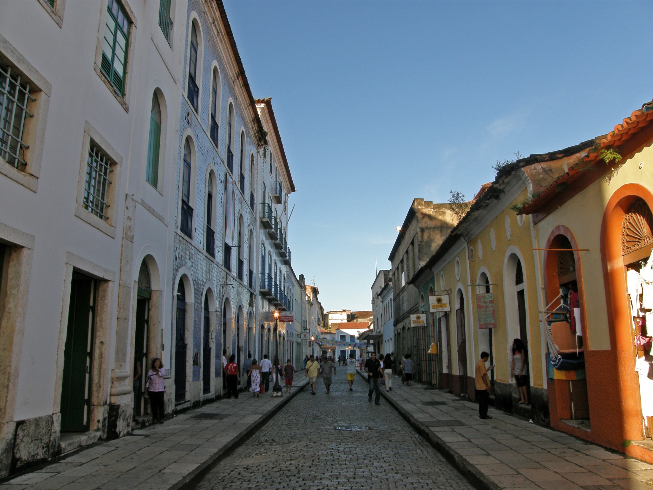
You begin in São Luís, which is less a gateway than a city that happens to be in the way, and all the better for it. The Portuguese laid it out on an island in the seventeenth century and then tiled it, street after street of colonial fronts faced in blue and white azulejo, half of them peeling, all of them better at the end of the day when the light comes in low off the water. It earns a night and a slow morning before the road inland. Walk the old centre, eat in it, let the heat and the tiles do their work, because once you leave the coast there are no more cities, only the road.
The road runs about four hours, flat and hot through a thinning country of scrub and palm and roadside towns, until it gives out at Barreirinhas, a low river town on the Preguiças that exists mostly to send people onward. This is where the journey changes texture. The tarmac stops mattering. From here you go by water or by sand, and the dunes are still nowhere in sight.
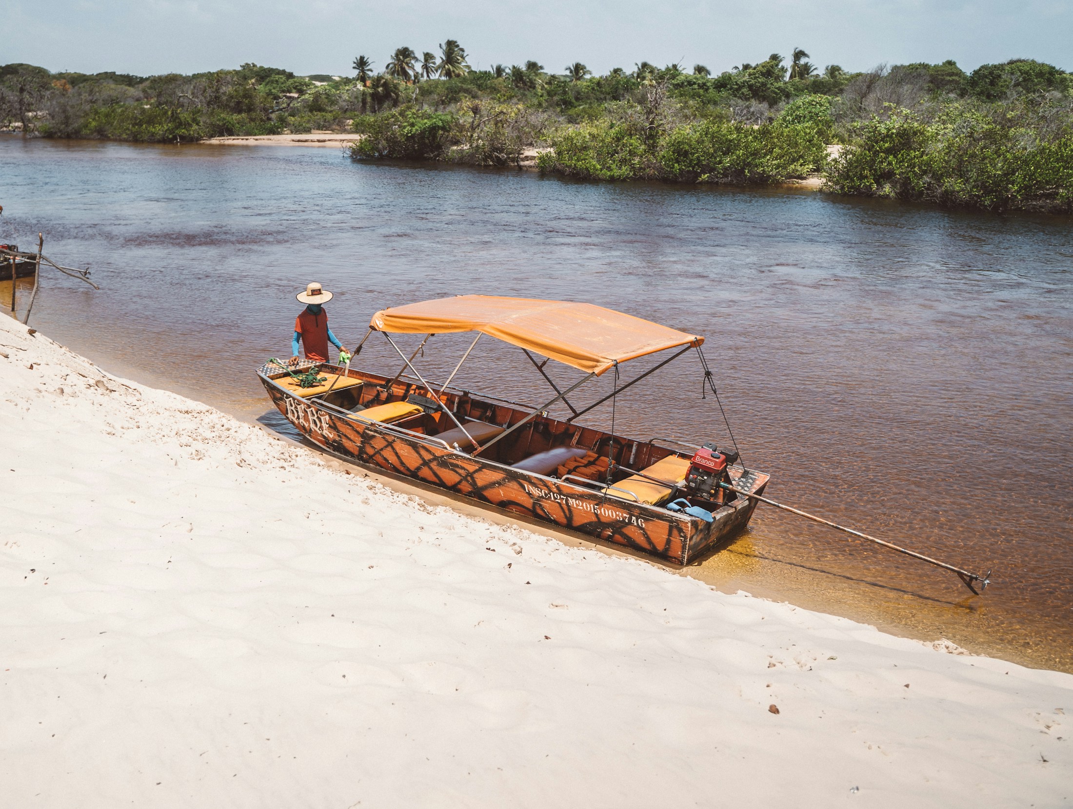
There are two ways down to the dunes. The river is the slow one, a long run down the Preguiças in an open boat, past leaning walls of buriti palm and a lighthouse standing waist-deep in drifting sand, to the point where the dunes finally show themselves at the coast. The other way in is overland, wedged into an open-sided truck that lurches and digs across sand too soft to walk on, the engine roaring, everyone holding the same rail. Either way the last of it is yours alone. The truck stops at the foot of a ridge, you climb the loose face of it on foot, and the desert keeps itself hidden until you are standing on top, out of breath, looking down.
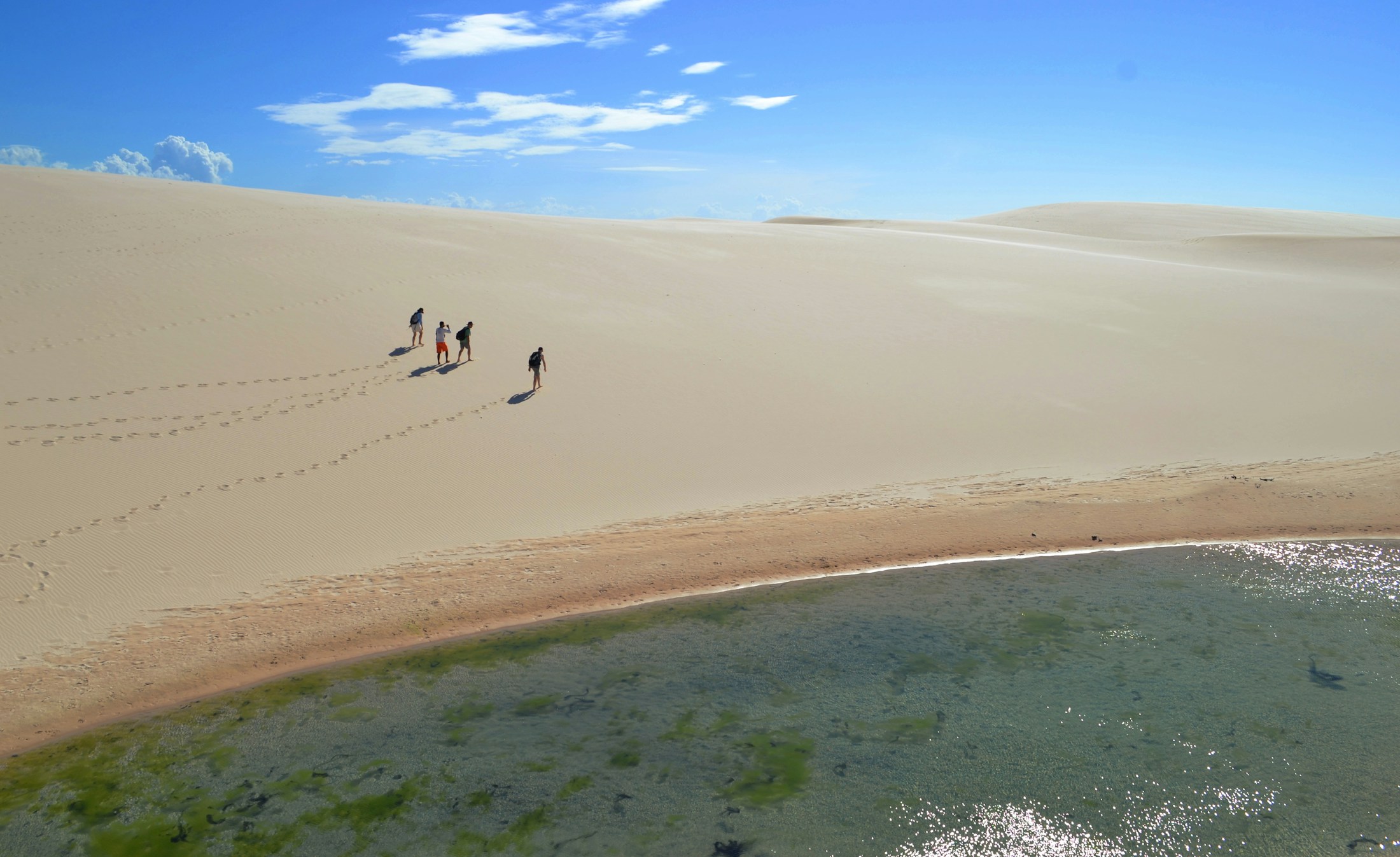
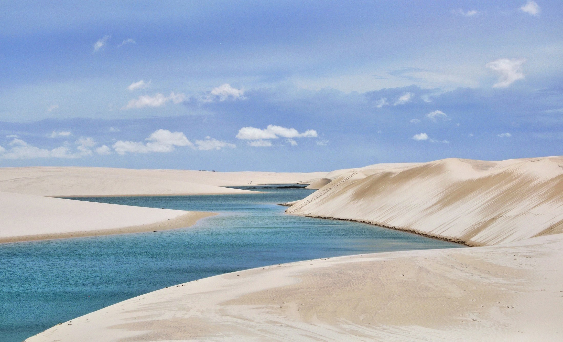
And there it is. From the crest the sand lies in long white folds to the horizon, which is what the name means: lençóis, bedsheets, laid out to dry. Set into the hollows between them are the lagoons, hundreds of them, clear and improbably coloured, because this is no true desert. It is one of the wettest places in Brazil. Close to twelve hundred millimetres of rain fall between January and May, a hard layer beneath the sand will not let it drain, and so the water simply gathers and stays. From the crest the nearest lagoon is the flat green of bottle glass held to the light, warm as a bath to wade into, and so still that the dune behind it arrives a second time on the surface, upside down and exact.
Stranger still, the pools are alive. There are fish in water that vanishes for half the year, some burrowing into the wet mud to wait out the dry, others leaving eggs in the sand that hatch when the rains return. Wade into a lagoon that will be gone by September and small fish move over your feet, a place running on a clock you cannot see.
The desert is only the end of the sentence. The journey is the rest of it.
Atins is the far edge, where the dunes run down to a river mouth and the open sea and the road gives out for good. It is a scatter of low guesthouses reached over an hour of sand track, with lagoons within walking distance before anyone else is awake. Go to the water at the edges of the day. At noon the light is flat and the colour drains out of everything; an hour before dark the whole field turns to gold and the water holds it, and for that hour the desert gives everything back.
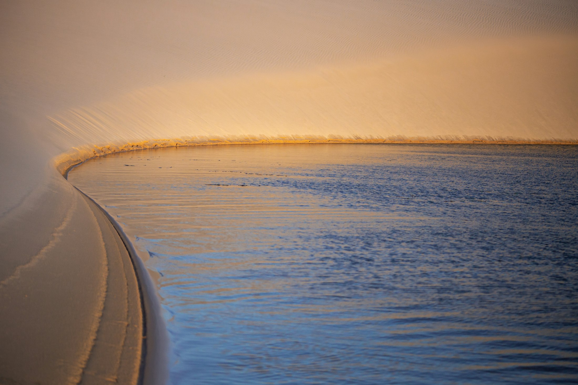
Timing is the whole of it. The lagoons are fullest from June into September, and June is the safe bet, the rains just finished and the pools brimming. Come later and you will find Atins drying out by August and most of the park down to damp sand by September, Santo Amaro the last to hold its water. Come before the rains and you will find a desert that means it. Since UNESCO listed the park in 2024 it runs on timed tickets, booked online in advance through the national parks agency, a morning or an afternoon slot, and the best months sell out, so reserve the park before the flights. Foreign visitors are asked to carry proof of travel insurance, on paper. Fly into São Luís, since the small airport at Barreirinhas stopped taking scheduled flights in 2025.
Take almost nothing onto the sand. There is no shade and no shop out there, only water and light, so carry your own water, cover up, keep a little cash for the villages. And give the place more days than seem strictly necessary, because the weather decides what you get and it does not consult you. The desert full of water is the reason to come. What stays with most who make the trip is not only the water but the going: the tiled city, the hot road, the boat, the climb, and then the colour at the top that makes the whole journey worth it.