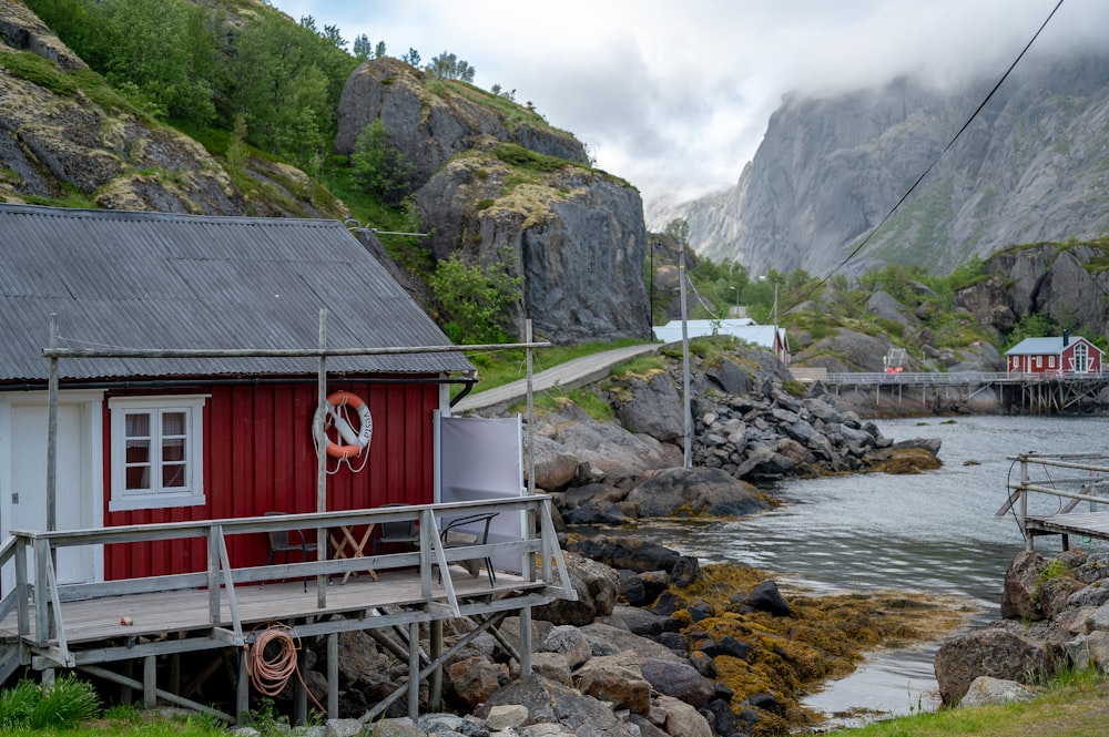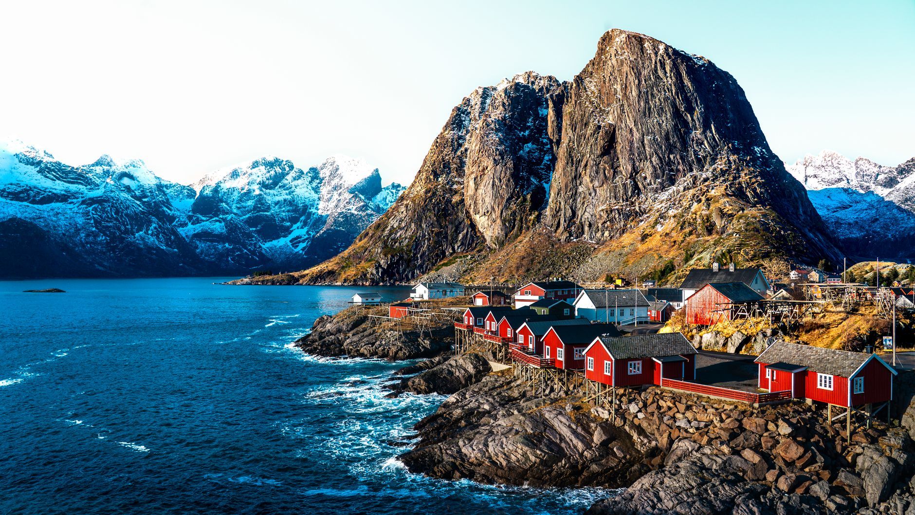
In Lofoten the weather is the main event, and it turns faster than anyone can plan around it. The E10 runs the whole length of the islands, about a hundred and thirty kilometres of narrow, wind-buffeted road from Svolvær to the end at Å, strung on bridges and one undersea tunnel, the Arctic Ocean pressing in from both sides. Driven north to south, it makes an unhurried four days, and the forecast is best read as the itinerary: rain, then a break, then rain again. Build each day around the breaks. A clear hour here is worth arranging the whole day to catch.
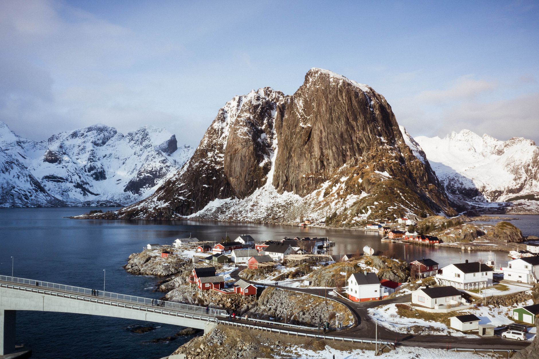
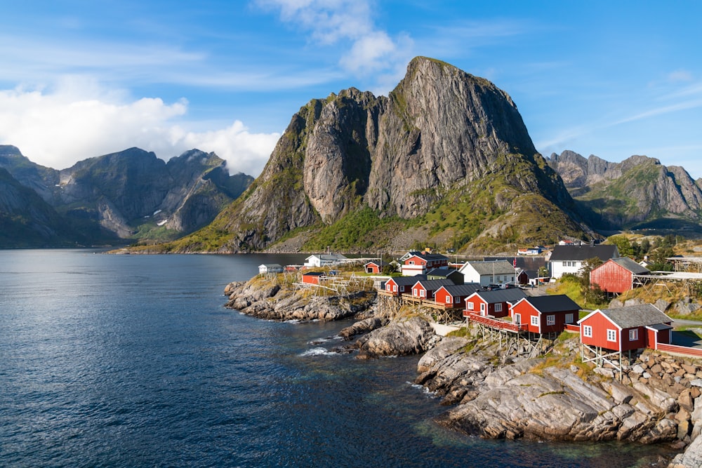
The mountains are what strike first, and they do not behave like other mountains. There are no foothills. Eight hundred metres of bare rock, in places a full thousand, comes straight up out of a shoreline within reach of the car door, and the road, with nowhere else to be, keeps to the water at the foot of it. The Norwegians call this the Lofoten wall. In cloud low enough to swallow half the range, the half still showing looks provisional, barely committed to being there at all.
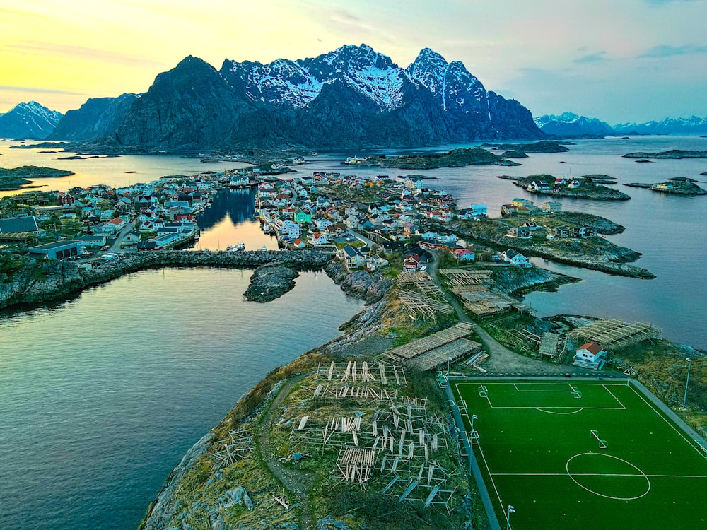
Henningsvær, five hundred people on a knot of rock ten minutes off the E10, makes a natural first night, its harbour restaurants serving fish soup and then cod pulled from the water more or less below the window. The fishermen drink there too. One, on the boats since he was sixteen, called this a thin season: the skrei coming late and staying deep, the drying racks up the road only half filled. Ask him where the road ends and the answer comes flat. Past Å, the last village on the road, there is nothing but water, said the way a local confirms a fact, not the way anyone sells a view.
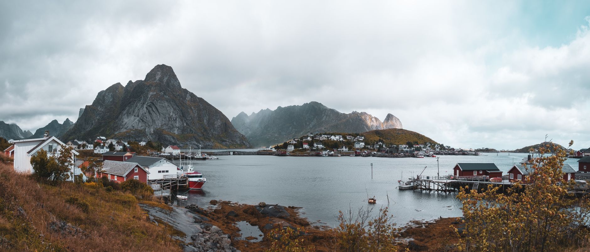
Reine, near the southern end of the drive, is where the walking starts. The view the whole road keeps promising has to be earned on foot, up the Sherpa stairs cut into the flank of Reinebringen: close to two thousand stone steps that gain four hundred and fifty metres more or less straight up, and in high summer they are less a trail than a slow queue. The stairs are open roughly late May into September, and close for rockfall repairs without much notice, so check locally before building a day around them. Climb them in rain, near the back of a line of strangers, and the top still hands over the archipelago whole, every island and channel of it, for about as long as the weather here hands over anything. Then it closes.
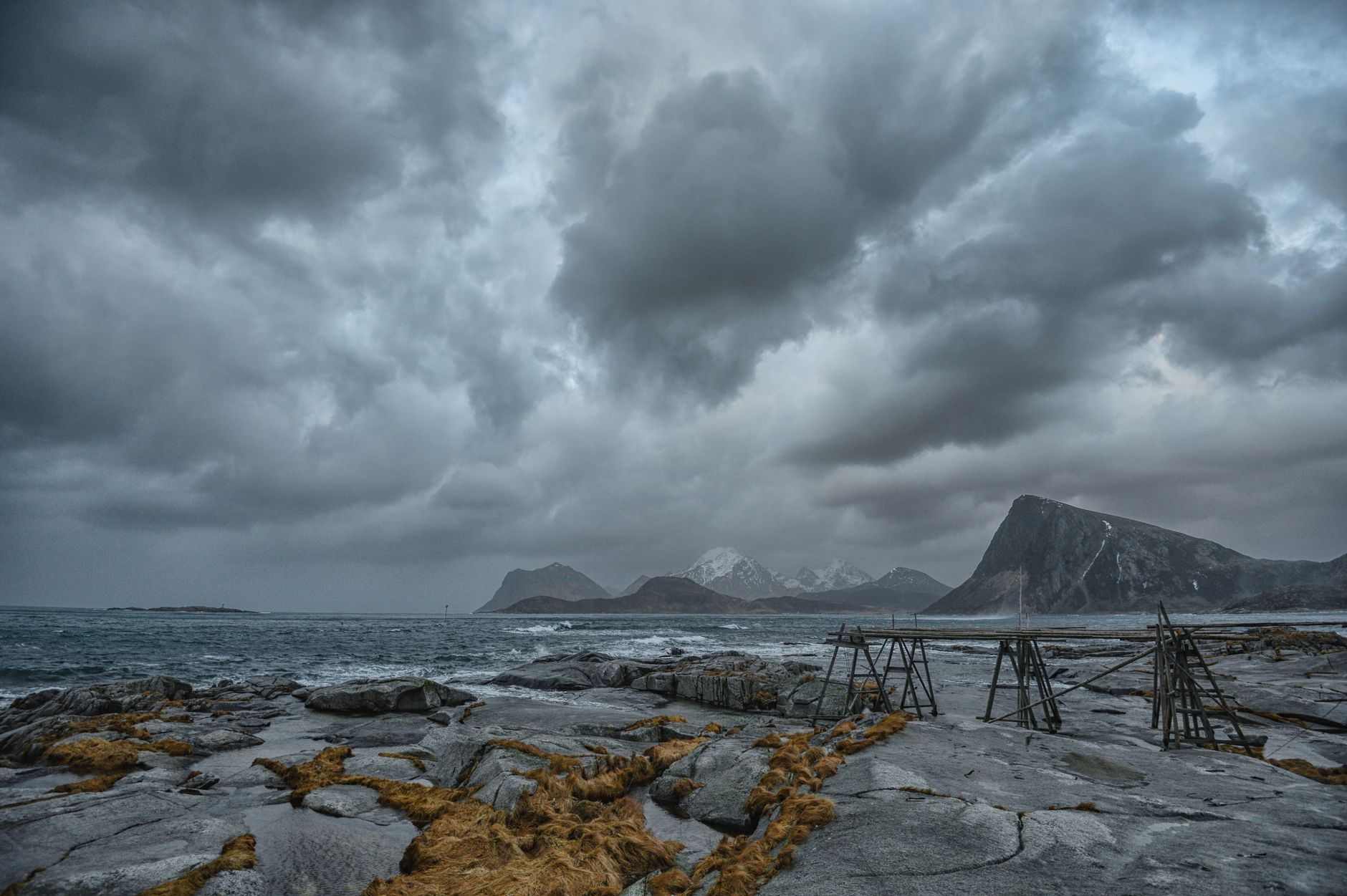
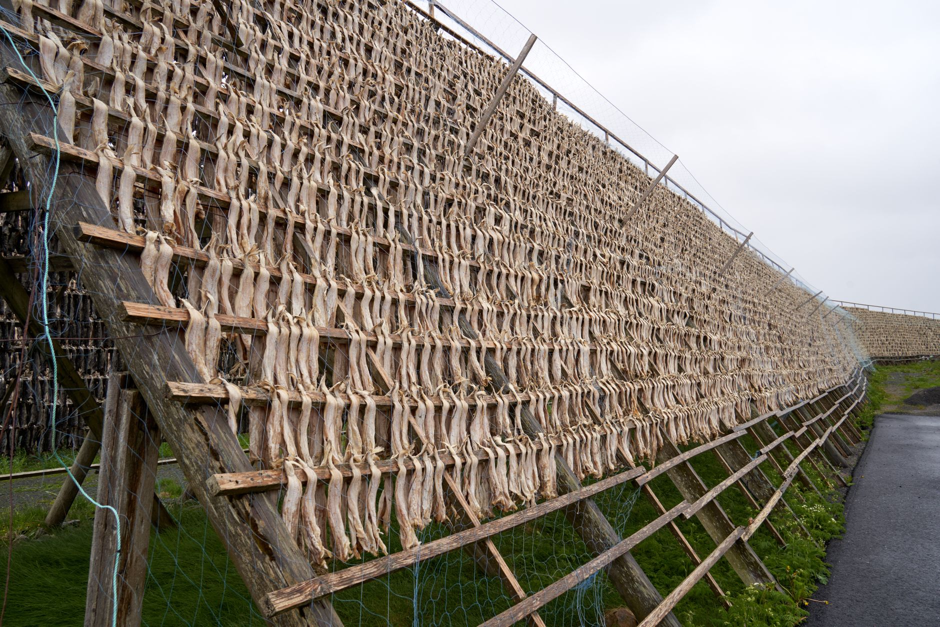
The racks are the reason any of this is here. Every winter the skrei run down from the Barents Sea to spawn, and for more than a thousand years the whole of Lofoten has turned out to catch them, split them, and hang them over poles to go hard in the cold wind off the sea. The dried fish, tørrfisk, has been an export since the Vikings, and it now carries a protected name like champagne or parma ham. You smell the racks on the road before you see them. At the very end of the islands, in an old fish landing station at Å, the Lofoten Stockfish Museum is only about this, the whole journey of a cod from the sea to a crate bound for Italy, and it is better than that sounds.
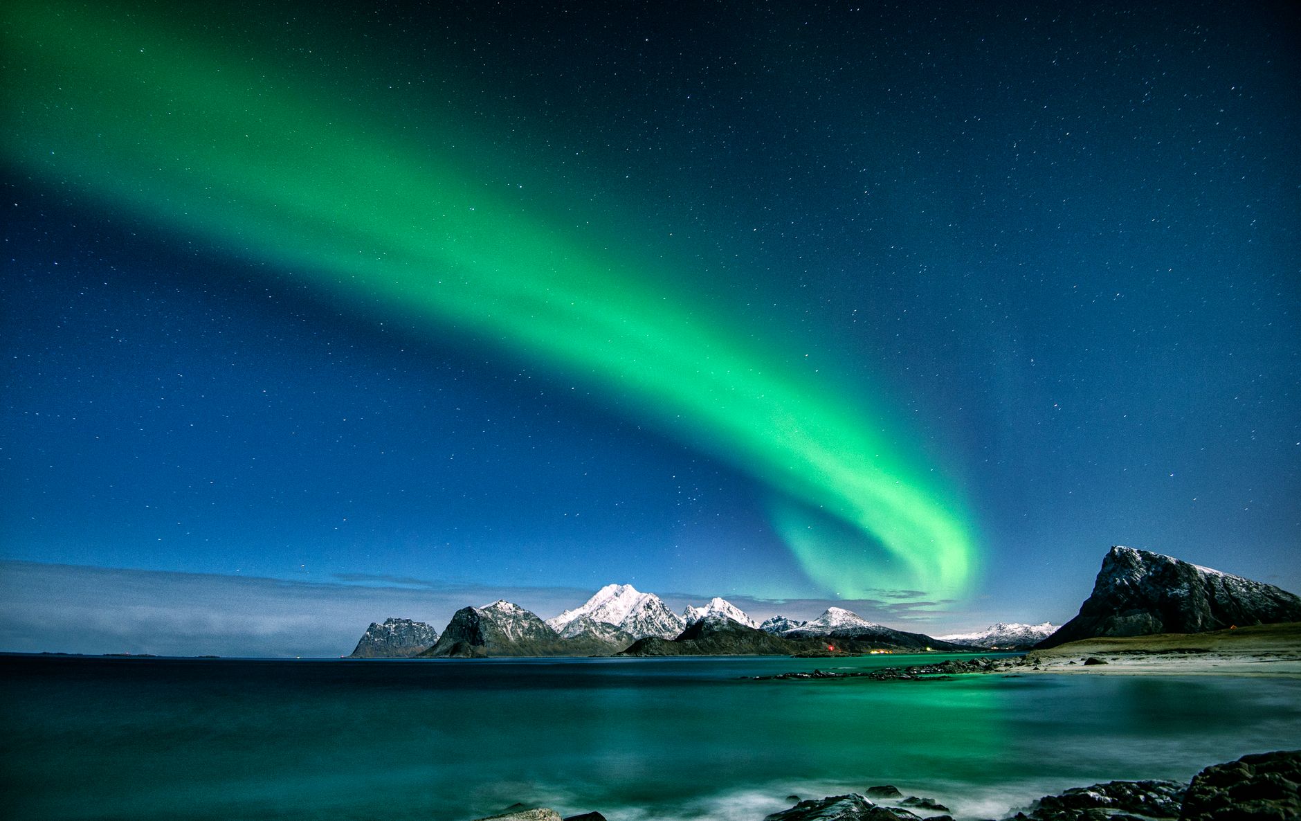
The light, when it comes, does what the fisherman promised. It arrives without warning, a summit clearing, a low sun laying the channel out in beaten silver, and then, before anyone is done with it, gone. That is the summer Lofoten, the weeks from late May to the middle of July when the sun never sets at all. It is not the only one. From early December to early January the sun does not rise, and the sky holds a flat pink noon that is neither day nor night; the boats go out into it, and the light people cross the world for is the aurora, moving green over the same black water. Fishermen will tell you the cold season is the better one, and that the roads in it are murder. Both are worth believing.
The road gives out a little past Reine, at a village called Å, a single letter, the last of the twenty-nine in the Norwegian alphabet. The last fuel is the pump at Reine, ten kilometres short of the end, so arrive with the tank ready for the drive back out. The tarmac simply stops, in a wind that will not let anyone stand still, a drying rack on one side and on the other nothing but grey water going on to nowhere. It is a long way to drive to run out of road, and worth doing in the worst weather Lofoten can offer, for the twenty minutes of light.
The practical shape of the trip: short flights from Bodø land at Svolvær and Leknes, both with hire cars, and drivers from the mainland come in on the E10 itself, joining it near the Harstad-Narvik airport at Evenes. The car ferry from Bodø docks at Moskenes, ten minutes up the road from Reine, which is the way to start at the end and drive the islands back to front. Sleep in the rorbuer, the fishermen's winter cabins now strung out over the water at Reine, Hamnøy and Nusfjord, and book months ahead for summer. June and July are for the midnight sun; late February and March are the skrei season, when the racks fill and the aurora still owns the evenings.