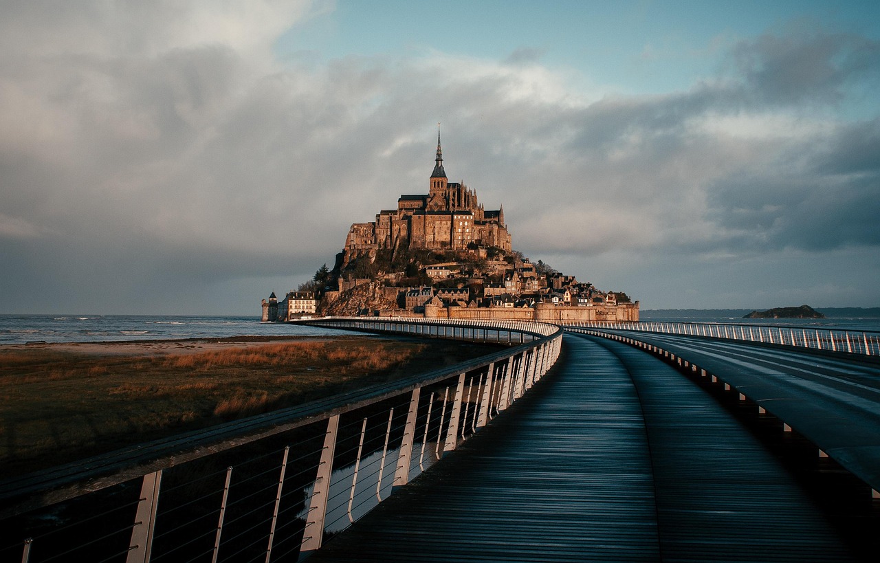
By the 1990s the modelling had produced a date. Around 2040, on current trends, Mont-Saint-Michel would stop being an island for good. A solid causeway laid in 1879, the channelling of the little Couesnon river and a spread of car parks at the rock's foot had between them killed the current; sediment the bay once flushed back out to sea settled instead, and the salt marsh crept west. The French response was an engineering project rather than a shrug. A reversible dam with eight sluice gates now sits on the Couesnon, holding water on the flood and releasing it on the ebb to scour sediment seaward. The causeway was replaced by a slender bridge on stilts, designed by the architect Dietmar Feichtinger and opened in July 2014, and the last of the old road and its car parks were pulled out in 2015. Water circulates around the granite again.
All of which decides what a visitor actually sees. On an ordinary day the mount stands in wet sand. It is fully surrounded by water only on the strongest tides, the grandes marées, which fall a day or two after each new and full moon. Anyone travelling for the island photograph should plan around the published coefficient calendar rather than around any high tide. The bay's tide tables run off SHOM data for Saint-Malo, with roughly five minutes added for the mount itself. The catch is that the big coefficients are advertised months ahead, so the tides that make the picture also fill the car parks and the shuttle queues.
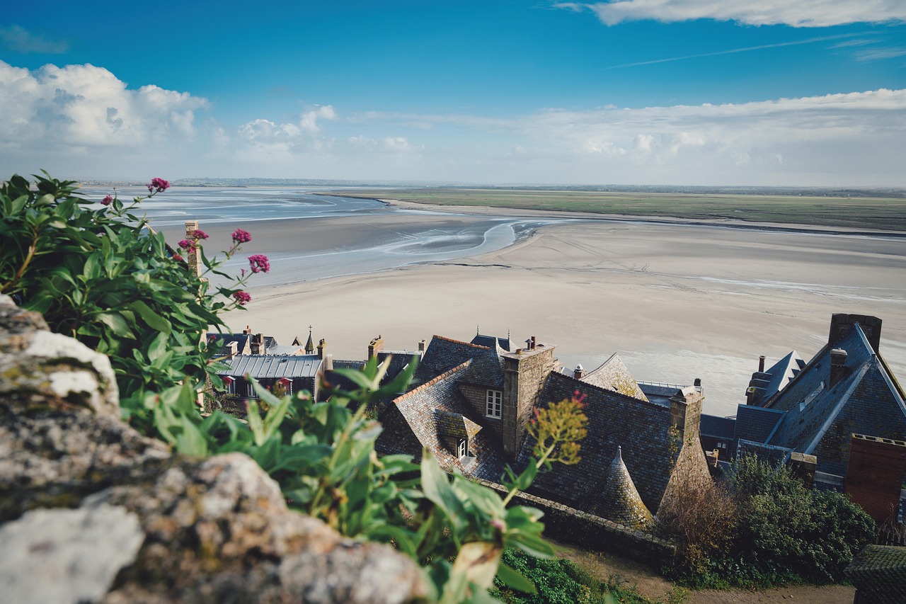
The bay has the greatest tidal range in mainland Europe, up to about fifteen metres between low and high water on the big springs. The old line that the flood comes in as fast as a galloping horse is a good line and a bad measurement. In practice the water can advance at around a metre a second across open flats, roughly walking pace, which is quite enough to cut off anyone standing in the wrong channel. Quicksand is a genuine hazard here. The sand hides soft patches and shifting rivers that move week to week, and local guides are unambiguous that walking out unaccompanied is dangerous.
The religious story begins in 708, when tradition holds that the archangel Michael appeared three times to Aubert, bishop of Avranches, with instructions to build on the tidal rock then called Mont-Tombe. A small oratory came first. In 966 Duke Richard I of Normandy installed Benedictine monks, and the community that shaped everything afterwards took hold. Around 1023 work began on a Romanesque abbey church raised directly on the summit of the granite peak, some eighty metres above the bay, a decision that committed every later builder to the same absurd constraint: no flat ground, ever.
The answer to that constraint is La Merveille, the Marvel, the Gothic monastery stacked three storeys up the north face between roughly 1211 and 1228. About seventeen years of work under four successive abbots produced thirty-five metres of building carried on sixteen buttresses, arranged so the levels rise from earthly to divine: almonry and cellar at the base, the Guests' Hall and the Knights' Hall in the middle, refectory and cloister at the top. The full ensemble took something like five hundred years to reach its final medieval shape. The cloister is the payoff, its arcades carried on slender staggered columns of pink granite shipped in from the Îles Chausey.
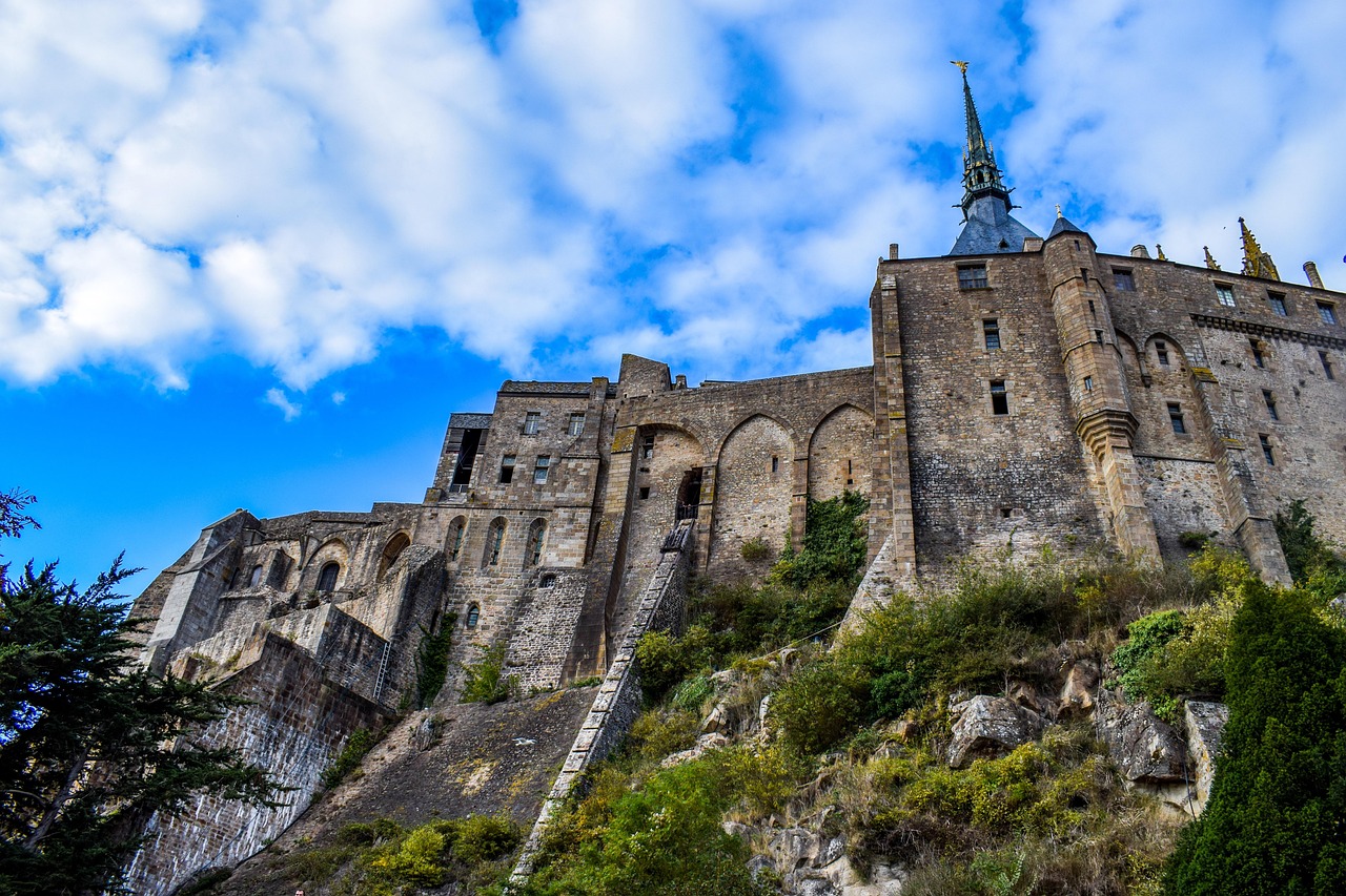
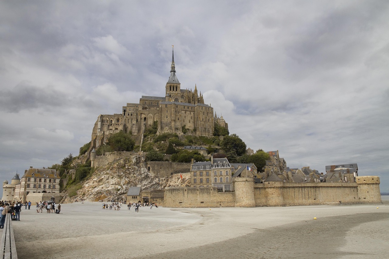
Militarily the rock has a clean record. Through the Hundred Years' War a garrison of about 119 knights held it against repeated English sieges, from 1423 and again from 1433 under Thomas Scales, 7th Baron Scales, who brought wrought-iron bombards. Two captured bombards still sit near the entrance. The abbey's worst damage in that period was self-inflicted geology: the Romanesque chancel collapsed in 1421 and was rebuilt in Flamboyant Gothic. The indignity came later. After the Revolution the abbey became a state prison, confirmed under Napoleon and running until 1863, with something like 14,000 inmates passing through what was nicknamed the Bastille of the Seas. Wooden floors were slotted into the great refectory to stack more cells. A treadwheel crane, still in place, was walked by prisoners to haul supplies up the rock. Victor Hugo led the campaign that got the prison closed and the monument classified. UNESCO listing followed in 1979.
A rock that survived the English, the Revolution and a prison was nearly finished off by silt.
Roughly three million people arrive each year, up to about fifteen thousand on a peak summer day, and almost all of them move as one body. Coaches from Paris, Rennes and Saint-Malo land from about 9.30am and pull out by about 4pm, and in that window the Grande Rue, the single lower street, is a corridor of souvenir shops with no way past. Two responses work. Bear left through the gate and take the ramparts instead of the main street, or simply climb: the crush thins with every flight of steps, and the upper lanes near the abbey are a different building altogether. The third option is to be somewhere else between ten and four, which in practice means an early start and a long empty middle of the day in a village that offers very little to fill it. Visitors who stay the night report the streets essentially empty before 7.30am.
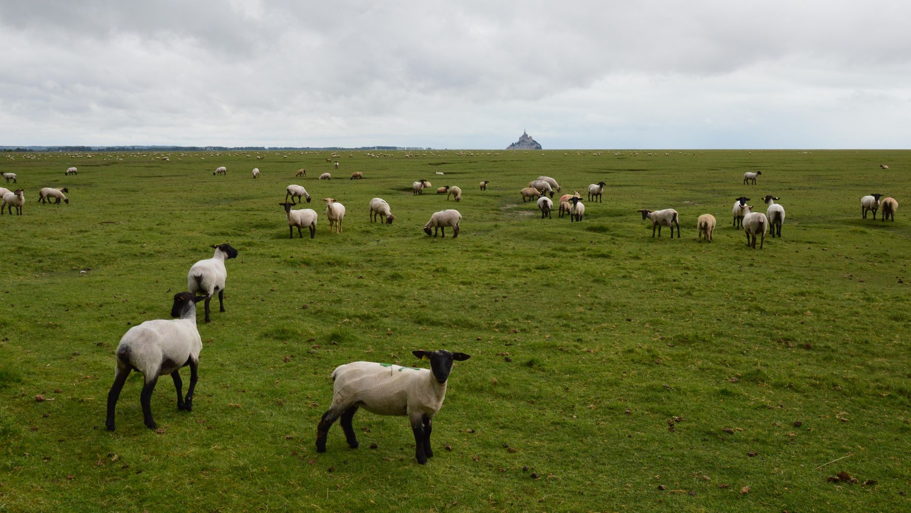
Eating on the rock is where the day usually goes wrong. La Mère Poulard's puffed omelette is a genuine piece of culinary history and a famously punishing bill, and visitors regularly report paying more for eggs than they would for a serious dinner elsewhere in Normandy. Crêperie La Sirène, in a fifteenth-century half-timbered house on the Grande Rue, is the honest alternative, though it serves lunch only, closes mid-afternoon and shuts two days a week, so it rewards checking before climbing back down for it. A packed lunch eaten on the ramparts sidesteps the problem entirely. Kitchens inside the walls wind down early in any case, so an evening on the mount needs dinner settled before the light goes. For regional cooking proper, Cancale is about an hour away by road and sells oysters straight off the market wall below the church, and the pré-salé lamb raised on the marshes visible from the bridge is the dish to look for in Beauvoir and Pontorson.
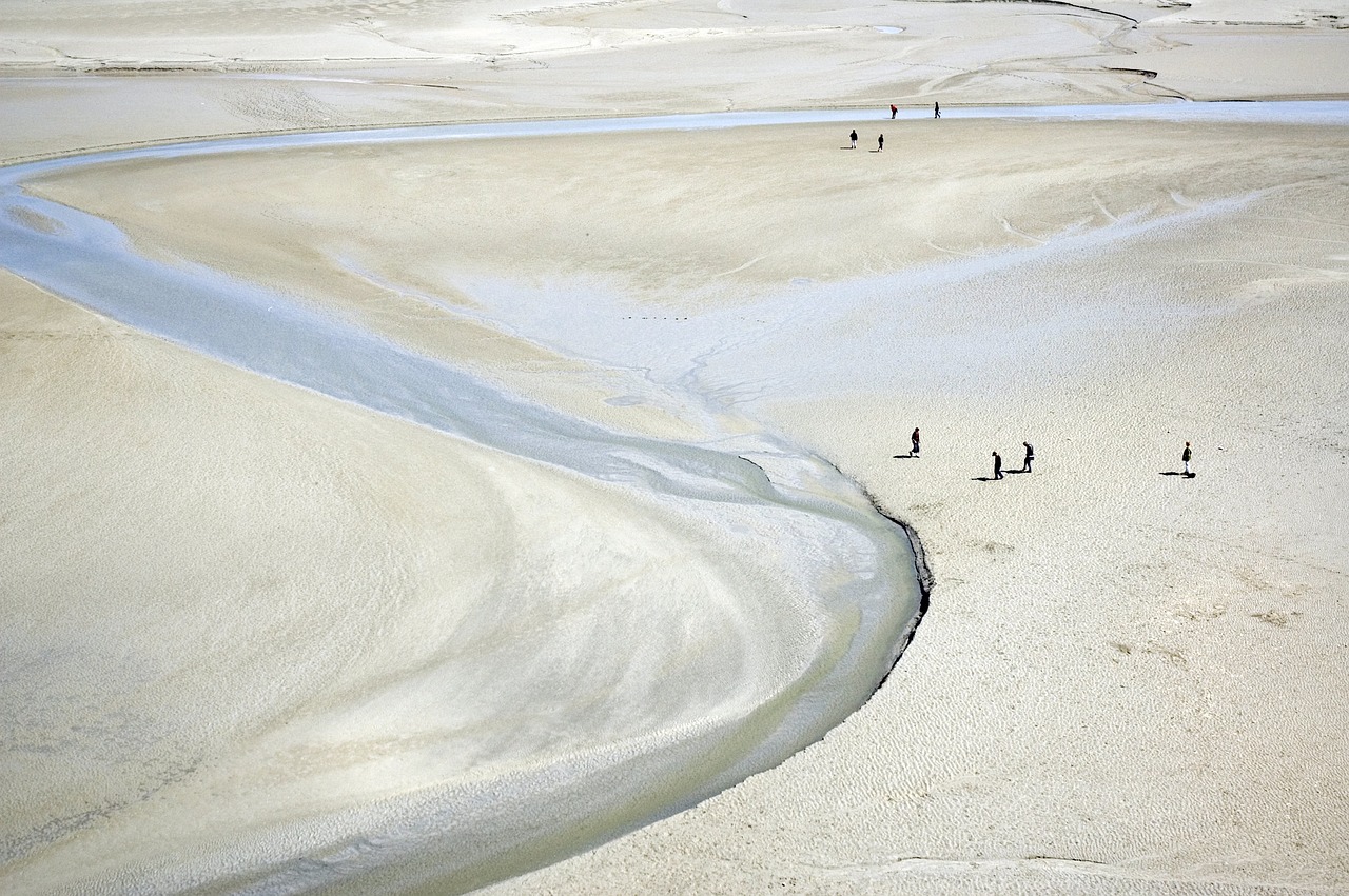
Licensed guides, Chemins de la Baie among the longest established, take groups out barefoot across the flats, wading the tidal rivers to mid-thigh, demonstrating the quicksand deliberately, sometimes running out to the uninhabited islet of Tombelaine. For most visitors this is the standout of the trip and it happens entirely outside the monument. A standard crossing is around two and a half hours over three to four kilometres, and longer routes exist. Shorts and bare feet from April to October, neoprene socks in the cold months. Bring a towel and a full change of clothes and leave them in the car, because there is no proper foot-washing at the end, only a couple of small rinse pools. The abbey interior asks much less time. Plenty of visitors are through it in under an hour, and the cloister and refectory carry the visit.
Two other things reward staying late. The floodlit abbey after dark, seen from the bridge with the shuttles finished, is the image most day-trippers never get. And in high summer the abbey opens at night: the Nocturnes run from 3 July to 31 August 2026 with a projection and sound route called Colorama, open from 7.30pm to midnight with last entry at 11pm, walked at your own pace through halls that are impossible to have to yourself in daylight. Dress for it either way. The bay is exposed, the wind comes off open water, and visitors underdress for the bridge in spring and autumn with predictable results: windburn, and a walk back cut short. Pack layers, plus a scarf and gloves in the shoulder season.
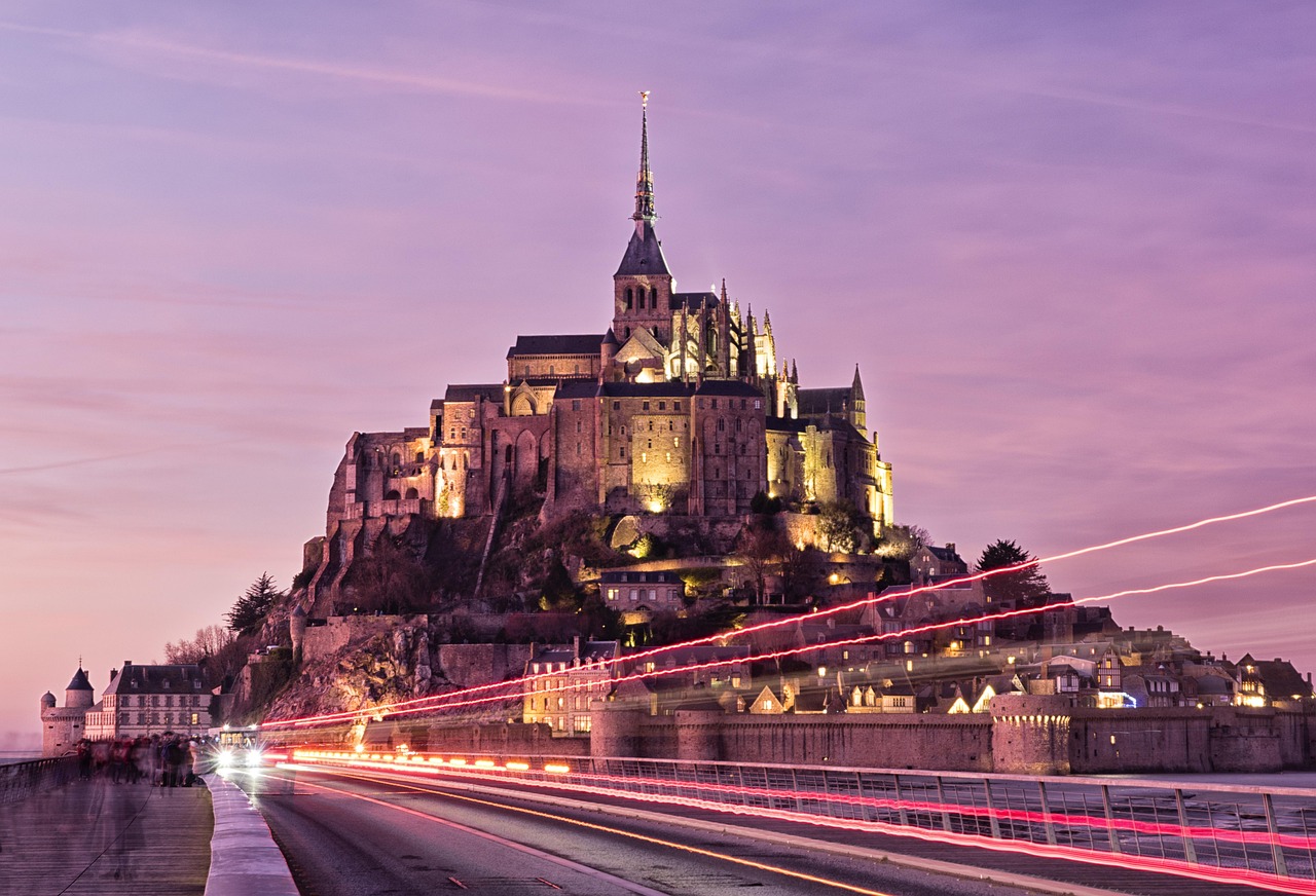
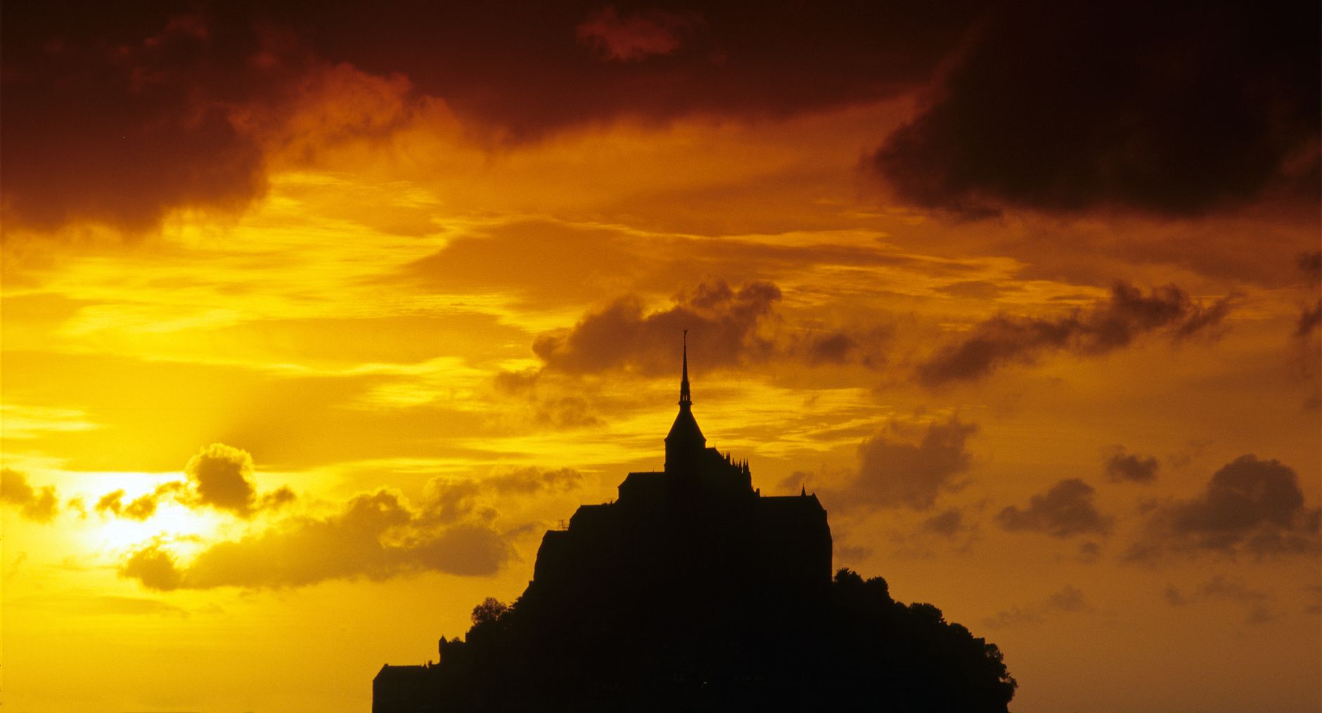
The cost of doing this properly is real. A day trip from Paris is eight hours of travel for two hours on a rock, and the alternative is committing at least one night to a village that offers almost nothing except proximity. What that buys is the walk in. The bridge takes thirty to forty-five minutes at an unhurried pace, and the mount grows the whole way in a manner no photograph transmits. The free Passeur shuttle drops passengers about 350 metres short in any case, so nobody avoids the last stretch on foot. Walk at least one direction of it, and if the wind is behind the shuttle, take the shuttle out and walk back.