Dispatches About Get the App
Uruguay  ·  34.40°S 53.78°W

Uruguay's Wild Rocha Coast

Written by Meridian Dispatch  ·  10 July 2026

A practical guide to driving Uruguay's Rocha coast east from Jose Ignacio to off-grid Cabo Polonio and Punta del Diablo: the route, each stop, and when to go.


Uruguay's Rocha coast runs east from Punta del Este along the Atlantic, a string of beach towns that grow wilder and quieter the further you drive, from the busy beach town of Jose Ignacio to Cabo Polonio, an off-grid village with no road in. Four days is enough to drive its length; a week does it justice.

A rental car is the practical way to do it. There is no single coastal highway: Ruta 10 hugs the shore only in broken stretches, so most of the driving is on Ruta 9, the paved inland road, with short spurs south to each town. The main roads are good and the coastal spurs can turn to gravel. Headlights are required by law at all hours, and most rentals are manual. The towns are walkable once reached, so a car mainly buys freedom on the Jose Ignacio to La Paloma stretch and the run out to Santa Teresa.
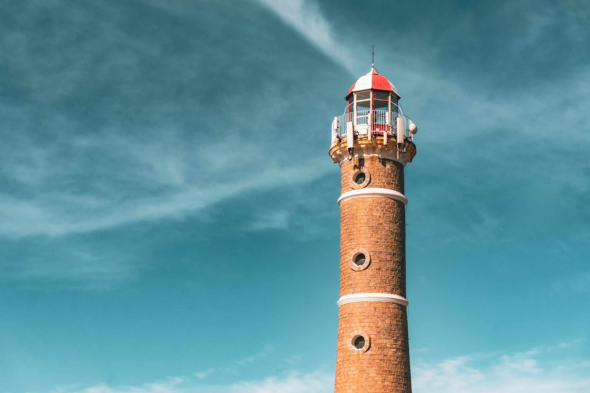
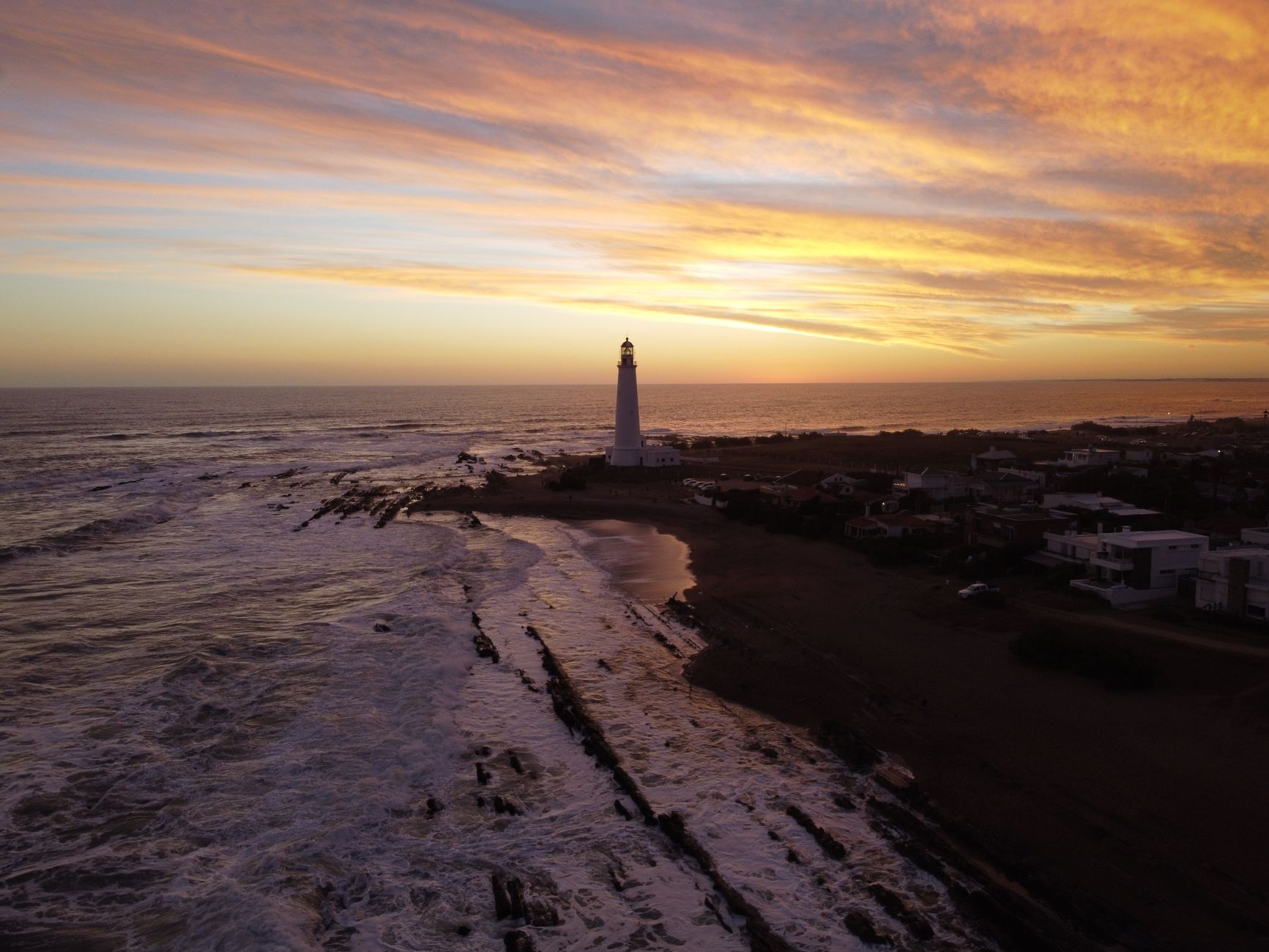
The black and white lighthouse at Jose Ignacio above a wide beach
Jose Ignacio, at the western end of the coast

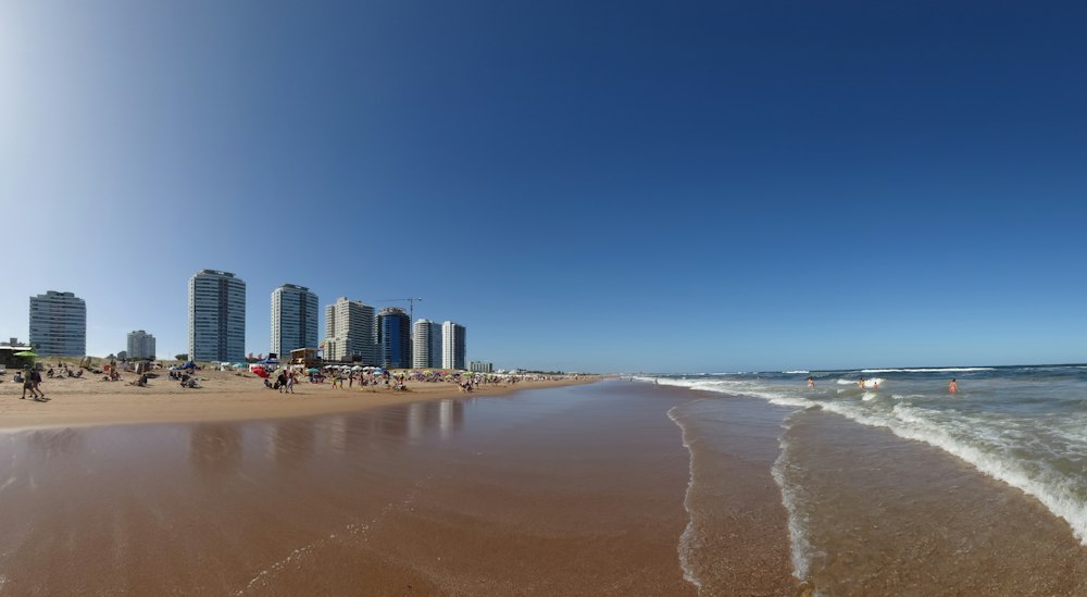
Jose Ignacio, at the western end, is the coast's most popular and priciest town, a former fishing village now known for its beaches, restaurants and design shops. Its landmark is a black and white lighthouse from 1877. Its best-known restaurant is Parador La Huella on the ocean-facing Playa Brava, known for grilled octopus and lunches that run late into the afternoon; book ahead in summer. Two beaches flank the point: Playa Brava on the surf side, Playa Mansa on the calmer bay.

East of the town, where the Laguna Garzon meets the sea, the coast road is broken by the lagoon. A small car ferry once made the crossing; since 2015 a circular bridge does, a full ring driven around rather than straight across, built to slow traffic over the water. It is worth a brief stop.
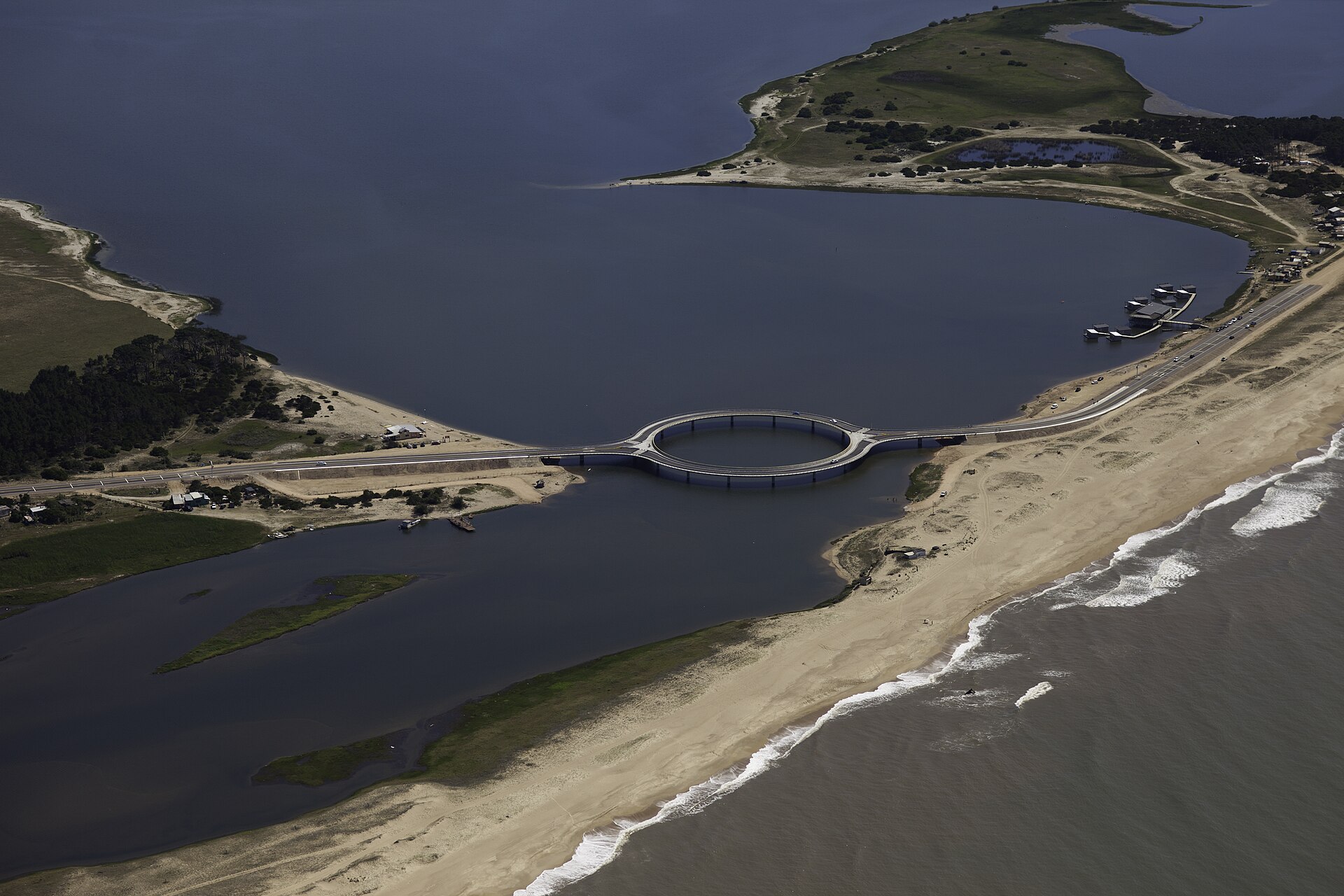
The circular Laguna Garzon bridge seen from above
The Laguna Garzon ring bridge
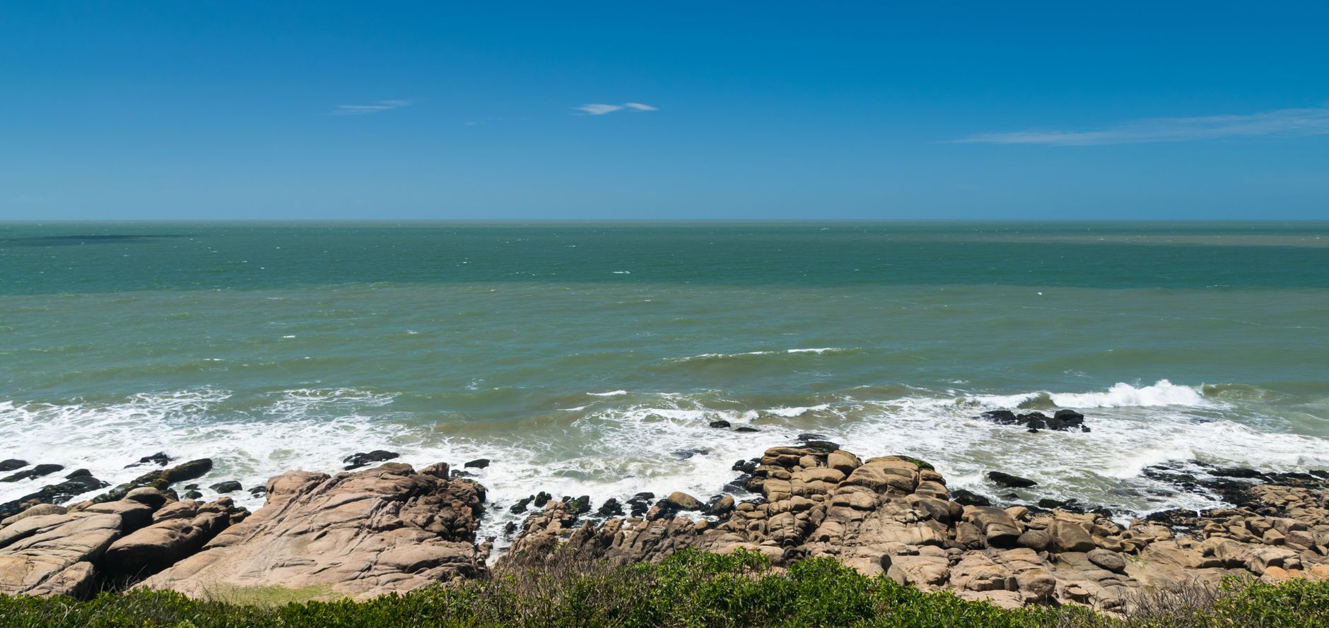
A cliff-backed surf beach at La Pedrera
La Pedrera, on its low cliff

La Pedrera and La Paloma come next, about an hour on. La Pedrera is small and bohemian, a clifftop surf town with good breaks at La Balconada and El Desplayado; it fills for New Year and all but closes in winter. La Paloma, nearby, is the coast's one year-round town, a working port with supermarkets, family hotels and regular buses to Montevideo, and the most practical base for the middle of the route.


Cabo Polonio is the reason many people make the trip, and the one place on the coast closed to cars. The village sits inside a national park; private vehicles stop at the Portal del Cabo gate on Ruta 10, where visitors buy a ticket and board a high, open-topped 4x4 truck that runs the seven kilometres through pine forest and over the dunes to the village, a ride of about half an hour. Walking the dune track is allowed but slow in soft sand. Trucks run roughly hourly in season and less often off-season, so check the last return time before heading in.
An open 4x4 truck crossing the sand dunes toward Cabo Polonio
The 4x4 crossing to Cabo Polonio

There is no driving into Cabo Polonio. Park at the highway gate and take the 4x4 over the dunes.

The village is a scatter of painted shacks on the sand, with no roads between them and a lighthouse at the point. It runs off the grid: no mains electricity or water, power from solar panels and generators, water from wells and rain tanks. Around eighty people live here year-round. Below the lighthouse sits one of the coast's largest sea lion colonies, loud and easy to reach on foot.
Painted shacks scattered on the sand at Cabo Polonio beneath the lighthouse
Cabo Polonio, off the grid

Bring cash: there is no ATM in the village and card payment is unreliable. Most visitors stay a night or two in the simple hostels, both for the quiet and for the night sky, which the total lack of streetlights leaves fully dark and thick with stars. Basic shack restaurants serve fresh fish and beer.

The Milky Way over the dark coast at Cabo Polonio
The night sky, with no streetlights to compete

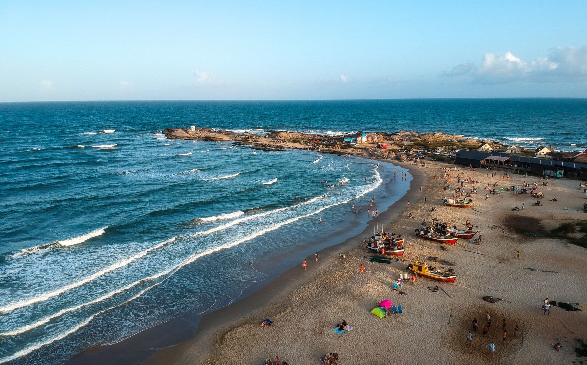
For most trips the coast ends at Punta del Diablo, a former fishing village turned laid-back surf and backpacker town, where boats are still landed on the beach by horse and cart. Just north lie Santa Teresa National Park and its hilltop star fort, begun by the Portuguese in 1762 and taken and finished by the Spanish the year after, set among quiet beaches and a large campground. From here it is about four hours back to Montevideo on Ruta 9.

Timing matters. The coast is busiest in January, when Argentine and Brazilian holidaymakers fill it and prices peak. March and early December are the sweet spot: still warm, far quieter, and most places open. Outside roughly November to March much of Rocha closes, with La Paloma the main year-round exception.
Plan a similar trip

My itinerary

Fly into Montevideo, rent a car, and drive east. Give it four days at least. Come in March or early December for empty beaches over the January crush. You cannot drive into Cabo Polonio: leave the car at the Portal del Cabo gate and take the 4x4.

  1. Day 1

    Jose Ignacio

    The glossy end of the coast: the lighthouse, the calm and wild beaches either side of the point, and a long lunch at the driftwood parador La Huella.

    Travel

    Montevideo to Jose Ignacio, about 2.5 hours by the coast road

  2. Day 2

    The bridge and the surf coast

    Round the circular Laguna Garzon bridge, then on to the cliff breaks of La Pedrera and the year-round port town of La Paloma.

    Travel

    Jose Ignacio to La Paloma, about 1.5 hours via the bridge

    Most of La Pedrera shuts outside the summer; La Paloma stays open all year.

  3. Day 3

    Off the grid at Cabo Polonio

    Leave the car at the gate, ride the 4x4 over the dunes, and stay a night for the sea lion colony and a sky with no light to compete with.

    Travel

    Park at Portal del Cabo on Ruta 10, then the 4x4 truck, about 30 minutes over the sand

    Cash only, and no ATM in the village; bring what you need before you go.

  4. Day 4

    Punta del Diablo and the fort

    The fishing-village end of the coast, then the Portuguese-Spanish star fort of Santa Teresa on the way back, before the long drive to Montevideo.

    Onward

    Punta del Diablo to Montevideo, about 4 hours on Ruta 9

    The fort sits in a national park with quiet beaches worth an hour of their own.

← All dispatches
Keep exploring

More dispatches

Meridian Dispatch for iPhone

A travel journal that
writes itself.

Your best memories, journaled automatically, from the photos already on your phone. The app reads your photo library, finds the international trips you have taken, identifies the venues, writes the prose, and lays it out like a magazine spread. The first time you open it, the last several years of your travel are already there. Every trip after that goes in by itself.

  1. Mapped on a globe

    Your whole world, on one globe.

    Every country you've visited, lit on a private 3D globe. Spin it to find a trip and fall straight back into it. The globe is the table of contents for your journal.

    The app's private globe of visited countries.
  2. Detected automatically

    It finds your trips on its own.

    Your photos cluster by place and time, and each cluster becomes a venue: the museum you spent the morning in, the restaurant you lingered over, the streets you wandered after dinner. No tagging, no prompts, no logbook to keep up.

    The app's archive, every trip a dispatch.
  3. In warm prose

    Each place, written up.

    Every day opens on a hero photograph, and each place you stopped gets its own short entry beside your own photographs, no two days laid out the same. A record of where you've been, kept in real sentences. Edit a line, or regenerate any passage you want fresh.

    A written day in the app, with a place entry and a photo grid.
  4. Yours to keep

    Every trip, as a photobook.

    Download any journal as a clean photobook, send it to whoever was there, or have it printed as a hardback you keep on the shelf. What you read on your phone is exactly what lands on the page.

    The app exporting a trip as a photobook, with Share PDF and Save to Files.