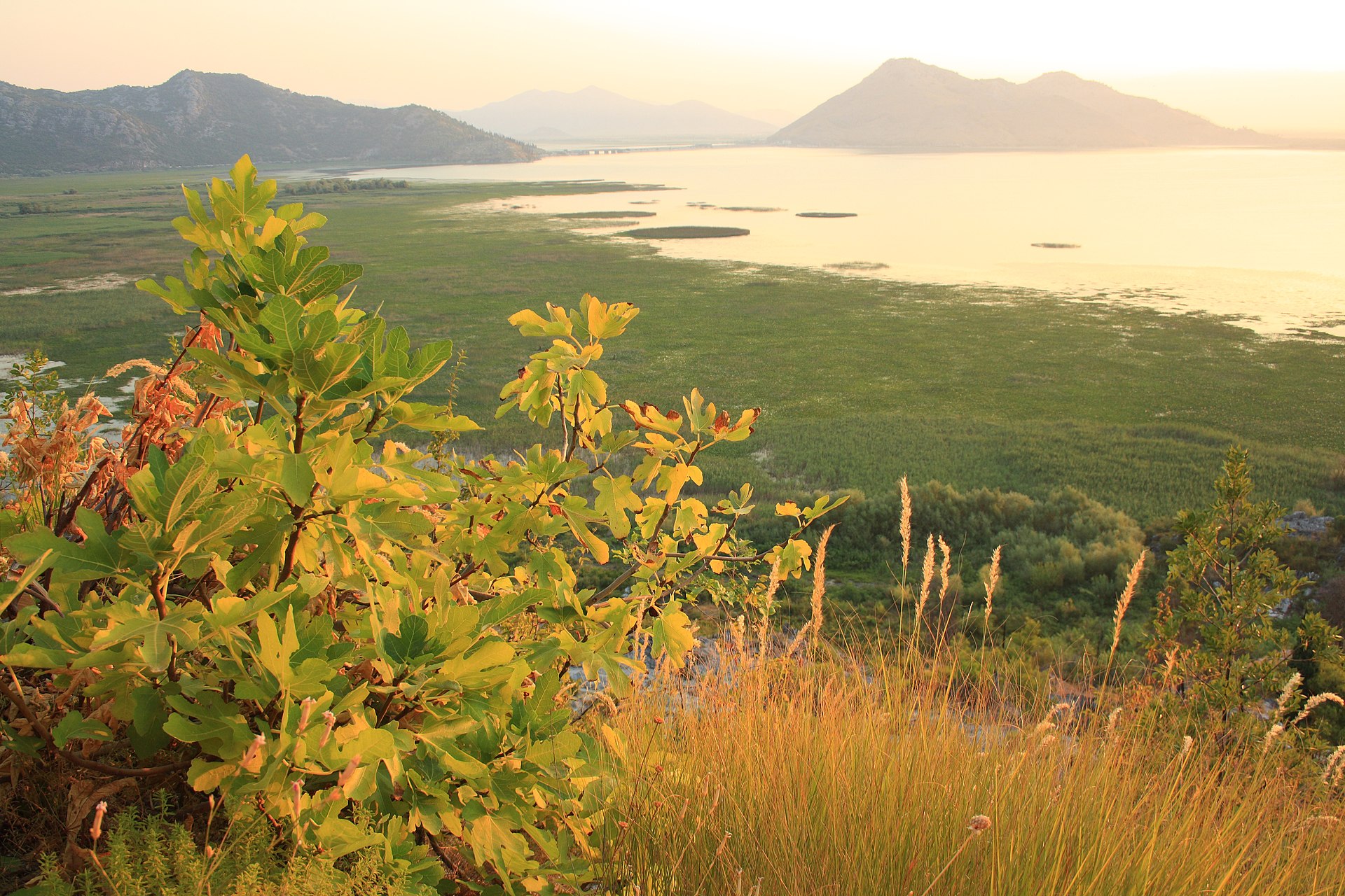
The visit is decided down at the boats in Virpazar, before anyone gets on the water. A two-hour trip is a cruise: out, round and back without landing anywhere, which is why people who booked one come away feeling they saw the lake from a distance. The longer routes, four or five hours, are the ones that stop, at a monastery, at a swimming spot, over a spring.
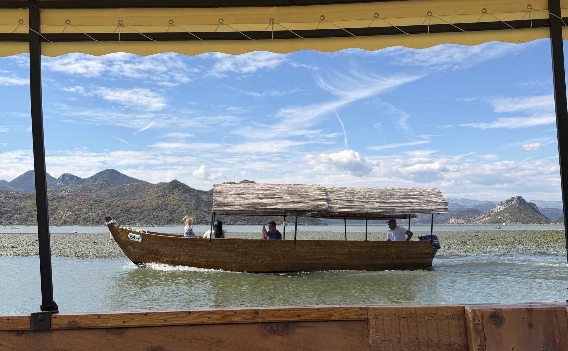
The second decision is the hull. The traditional flat-bottomed wooden čun can enter the lily channels through the marsh and the larger boats cannot, because the water in there is a few metres deep at best. The photographs that persuade people to come are almost all taken from inside those channels. Kayaks are rented in Virpazar by the hour or the day, and they go where no motor does.
The national park charges per person per day, separately from whatever the boat costs, and collects it on shore at the operator's desk or the park office. Carry some cash for that. The restaurants take cards, but the stalls along the village street selling honey, wine and souvenirs do not.
Come in the morning. The water is calmer, the light is better, the birds are active and the lily flowers are open. The wind gets up on open water in the afternoon, which is the thing that matters if you are in a kayak.
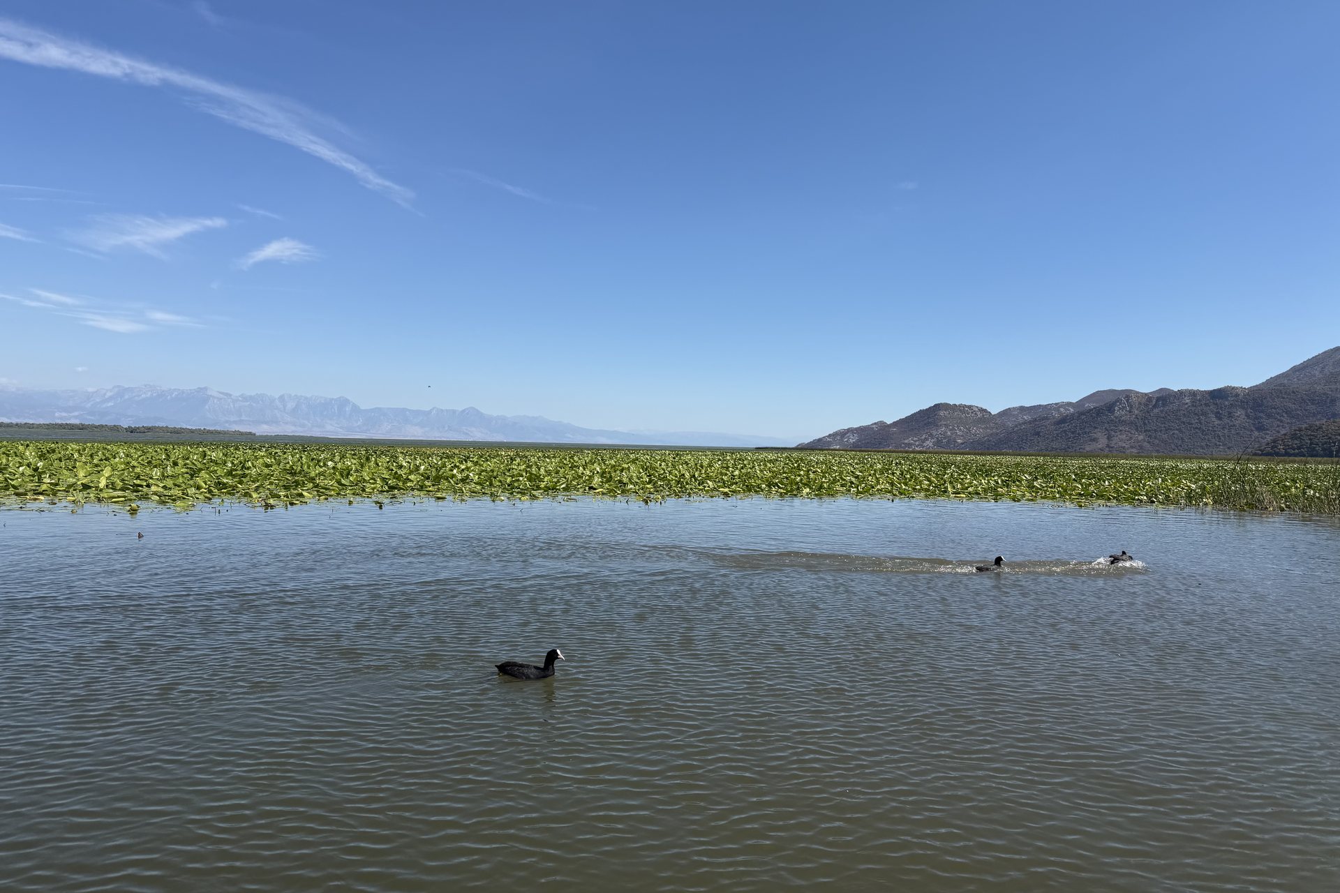
April to June and September to October are the windows that serve most purposes. The water lilies are not out in April, are flowering by May, and are at their densest through June and July. Birds are best in spring and autumn and worst in the middle of summer, which is when most visitors arrive. The water is warm enough to swim from July, reported around 26 degrees and holding into September.
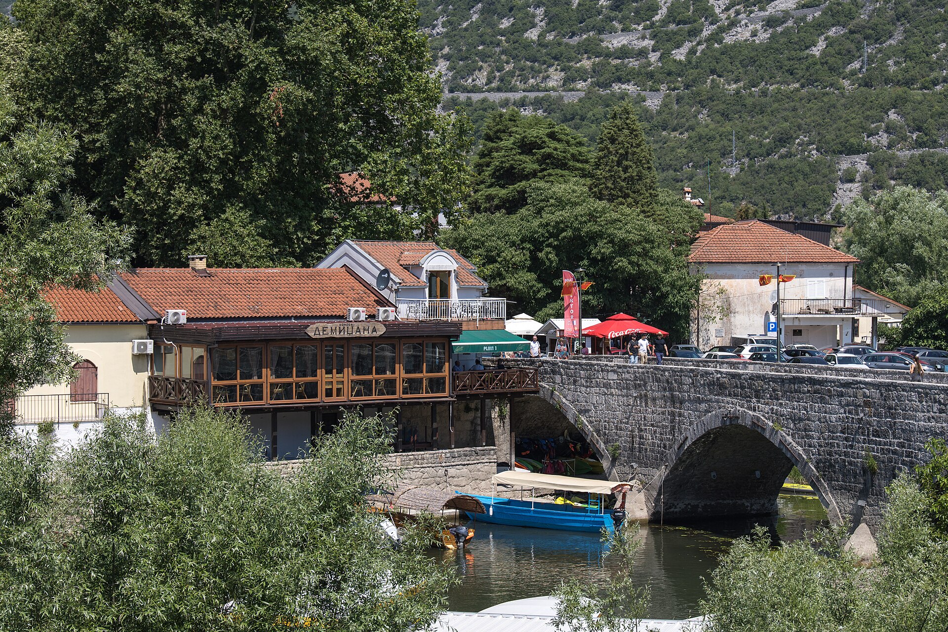
Virpazar itself is one street and an old stone bridge, walkable end to end in about ten minutes, with a certain amount of pressure from people selling boat trips as you arrive. Free parking exists, including a gravel lot off the main road reached through a pedestrian underpass, and it fills in season. The shore roads are narrow, largely without crash barriers, and the descent to Murići is the one people remember.
There is a train, and it is worth qualifying rather than recommending flatly. Virpazar has a station on the Bar to Belgrade line and Podgorica is about half an hour away, but the station is run down, and the walk into the village means crossing the railway on a path, because the main road has no pavement and is not safe on foot.
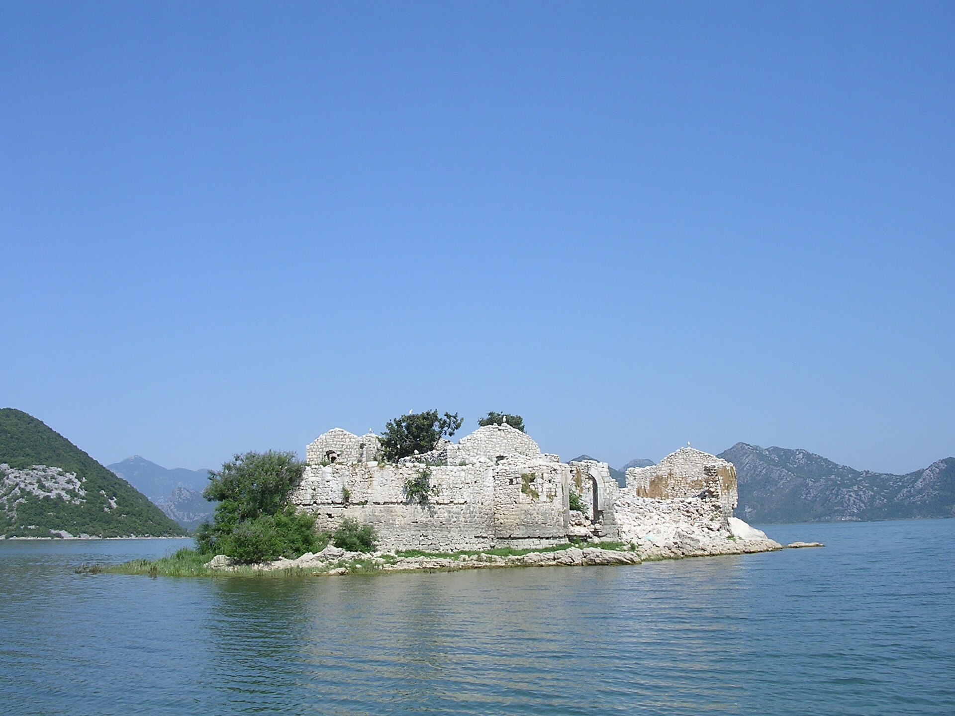
The islands carry most of the history. Grmožur, fortified in 1843 and nicknamed the Montenegrin Alcatraz and the Island of Snakes, later held prisoners under Prince Nikola. Two stories about its guards circulate: that they were chosen because they could not swim, so could not desert, and that a guard who lost a prisoner served out the rest of that prisoner's sentence. Both are what a boatman will tell you, and no record supports either.
Lesendro, an eighteenth-century fort the Prince-Bishopric had held for eleven years under Petar II Petrović-Njegoš, fell to Osman Pasha in that same year of 1843 along with Vranjina, and the Ottomans fortified all three.
Of the monasteries, Beška is the one that can reliably be entered, with a small community of nuns in residence growing vegetables, fruit and medicinal herbs. Kom, built between 1415 and 1427, keeps sixteenth-century fresco work and the graves of four Crnojevići, among them Stefan Crnojević and his wife Mara Kastrioti, the sister of Skanderbeg.

The bird most people come for is the Dalmatian pelican, the largest freshwater bird in Europe, with a wingspan around three metres. Every number attached to it here carries a year, because counts from the 2010s still circulate as though they were current.
Breeding collapsed in 2008, when exceptionally high water flooded the nest sites: the swing that makes the lake's area a range is also what drowns a colony. From 2014 the response was floating nesting platforms built to rise and fall with the water. Avian influenza went through the population in 2022, costing the lake around twenty birds.
In December 2024 the Montenegrin bird organisation CZIP ringed the nesting rock at Mali Moračnik with buoys and warning signs, after the colony shifted there from Pančeva Oka. In 2026 Rewilding Europe reported 306 individuals at the lake, the highest count since systematic monitoring began, with 140 breeding adults and 47 chicks by June.
Nobody will take you to the nesting rock, and the buoys are why. Seeing a pelican is a matter of season and distance: recorded repeatedly in May and June, recorded as a miss in April and in high summer. Bring binoculars, because the birds will be further off than the photographs suggest.
The lake itself is a strange one, and some of its water arrives from underneath. The springs are called oko in the singular, and vrulje in some accounts. They discharge straight into the lake without ever surfacing as streams, and about thirty of them have been identified. On the longer boat routes a guide will hold the boat over one so a visitor can look down into it.
The reason the springs can work like that is that the lake sits in a cryptodepression, meaning parts of its bed lie below sea level even though the surface does not. The surface itself moves a great deal, swinging about five metres across the year, which is why the published area is a range: something like 370 square kilometres in late summer and up to 530 at high water.
No lake on the Balkan peninsula covers more ground, and English-language sources often widen that to southern Europe, which depends on where the boundary is drawn. Either way it is a claim about surface, not volume. Around 65 percent of the lake is Montenegrin and the rest Albanian, and it runs about 44 kilometres long and up to 14 wide. It has been a national park since 1983 and a Ramsar wetland since 1995.
Above ground the Morača does most of the filling. Everything leaves by one route, the Bojana, which is called the Buna on the Albanian side and runs to the Adriatic on a bed that is itself partly below sea level. A kilometre downstream of where it leaves the lake, the Drin joins it through a channel called the Drinasa.
When the Drin is running high it can push water back the way it came, so the lake's only outflow sometimes runs into the lake instead of out of it. The Drin carries releases from large Albanian hydropower dams.
Part of Skadar's water regime is set by decisions taken in another country's control rooms.
Give the lake one night. An evening in Virpazar puts you at the boats for the morning departure, which is the part of the day worth arranging a trip around, and the village has run out of things to show you by the second afternoon.
Stay at Hotel De'Andros. It is the main hotel in the village, a few minutes' walk from the water, and it has its own parking, which counts for a lot in a village whose free lots fill by mid morning. The rooftop pool looks over the water you have just spent the day on.
Book the longer route. It is an unhurried day: stretches of sitting while the boat moves, the engine cut over a spring, a monastery wall, a swim off the side, and nothing asked of you in between. That is the strongest reason to come, stronger than the pelicans, and the people who leave disappointed are almost always the ones who gave the lake two hours and never got off the boat.