Iceland's largest national park keeps two opening calendars and they do not overlap. The natural ice caves can be walked from early October to the end of April. The roads into the volcanic interior open around the end of June and close again from mid September, by which time there is no cave left to go into. The boats on the glacier lagoon run through the summer and stop for the winter, and for any bad afternoon in between. Book the cave first if the trip wants one, because permits cap the departures and the season is short, and let the flights and the rooms follow that date.
A natural ice cave is a hole that meltwater made. Water runs through the glacier all summer, drains out in autumn and leaves a conduit that freezes hard enough to walk into, so guides survey them fresh each year and none of them lasts a second season. A warm spell or a day of rain can shut one overnight.
Every visit inside the park is guided and on a permit, run by an operator licensed by Ferðamálastofa, the Icelandic Tourist Board, and holding a park contract. Those contracts have existed for years, and the assessment behind them was tightened at a price. On 25 August 2024 a wall of ice came down on a guided party of 23 at Breiðamerkurjökull, in daylight, killing an American visitor and seriously injuring his partner. Ice cave tours across the park were suspended within a day, and the contracts written that November made a daily assessment of every cave mandatory.
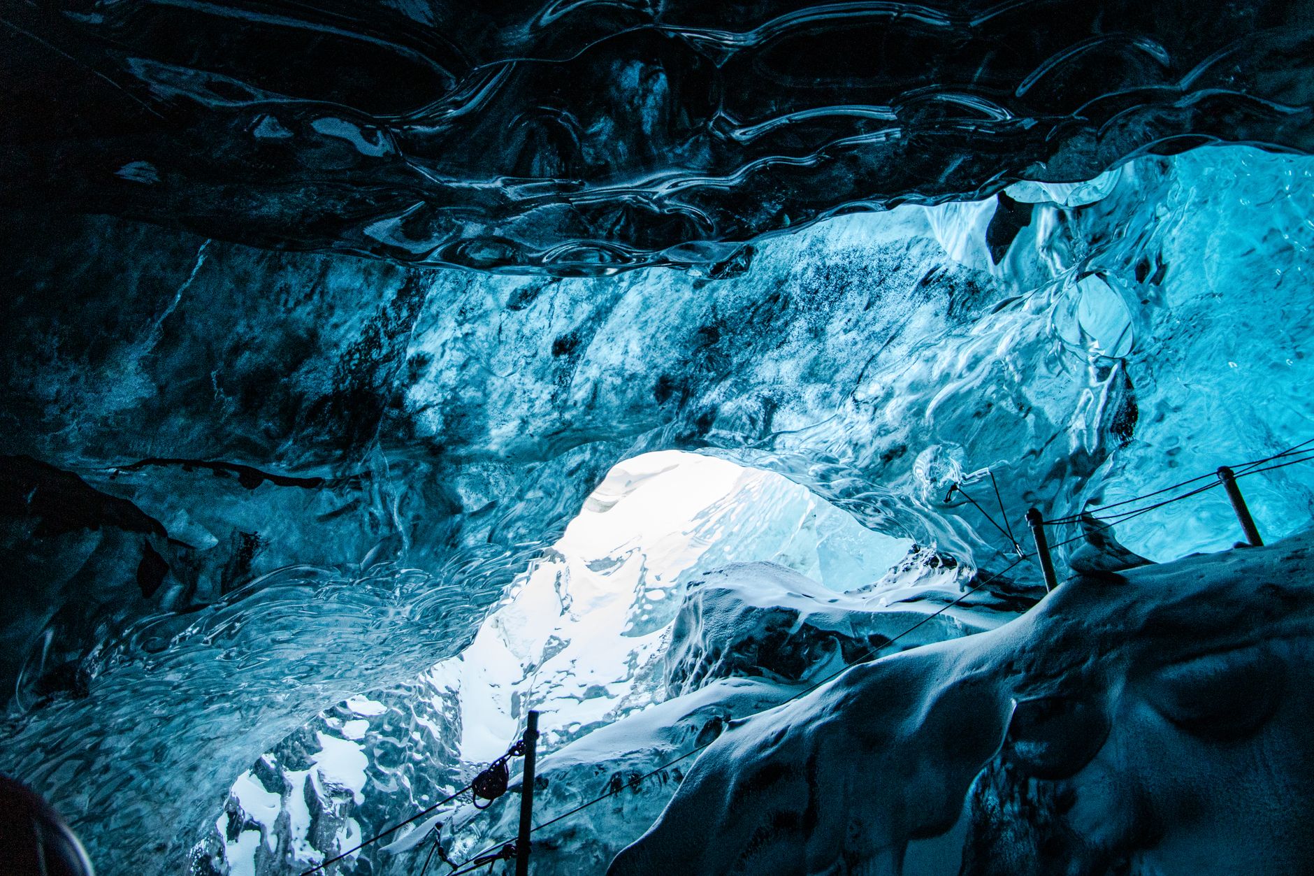
Check which glacier a tour is actually on. The cave advertised as open all year is in Kötlujökull, an outlet of Mýrdalsjökull, and it meets at Vík, two hours west of Skaftafell and outside this park; the other year-round product is a tunnel bored by machine into Langjökull. Booking either from a hotel by the lagoon buys a pre-dawn start and two hours in the wrong direction. The superjeep on the booking page earns its place: caves are reached across the outwash plain in modified 4x4s, over ground that turns unstable where meltwater has soaked the ash. Crampons and hard hats are issued on site, so the only kit worth buying is a boot stiff enough to take a strap-on crampon.
Winter defeats the drive times. Route 1 gives Reykjavík to Skaftafell in about four hours of summer daylight and Jökulsárlón in four and a half to five. Near the solstice the sun comes up around eleven and is gone by half past three, so the same run spends the whole of the light arriving in the dark. Ploughing sets the departure hour, and half past nine may be the earliest anything moves. Plan one leg a day. Operators make their own call each morning, and a group has left a car park in fog and walked into sun at the ice an hour later.
Gusts on this coast take car doors off their hinges. The rental desks sell separate cover for exactly that.
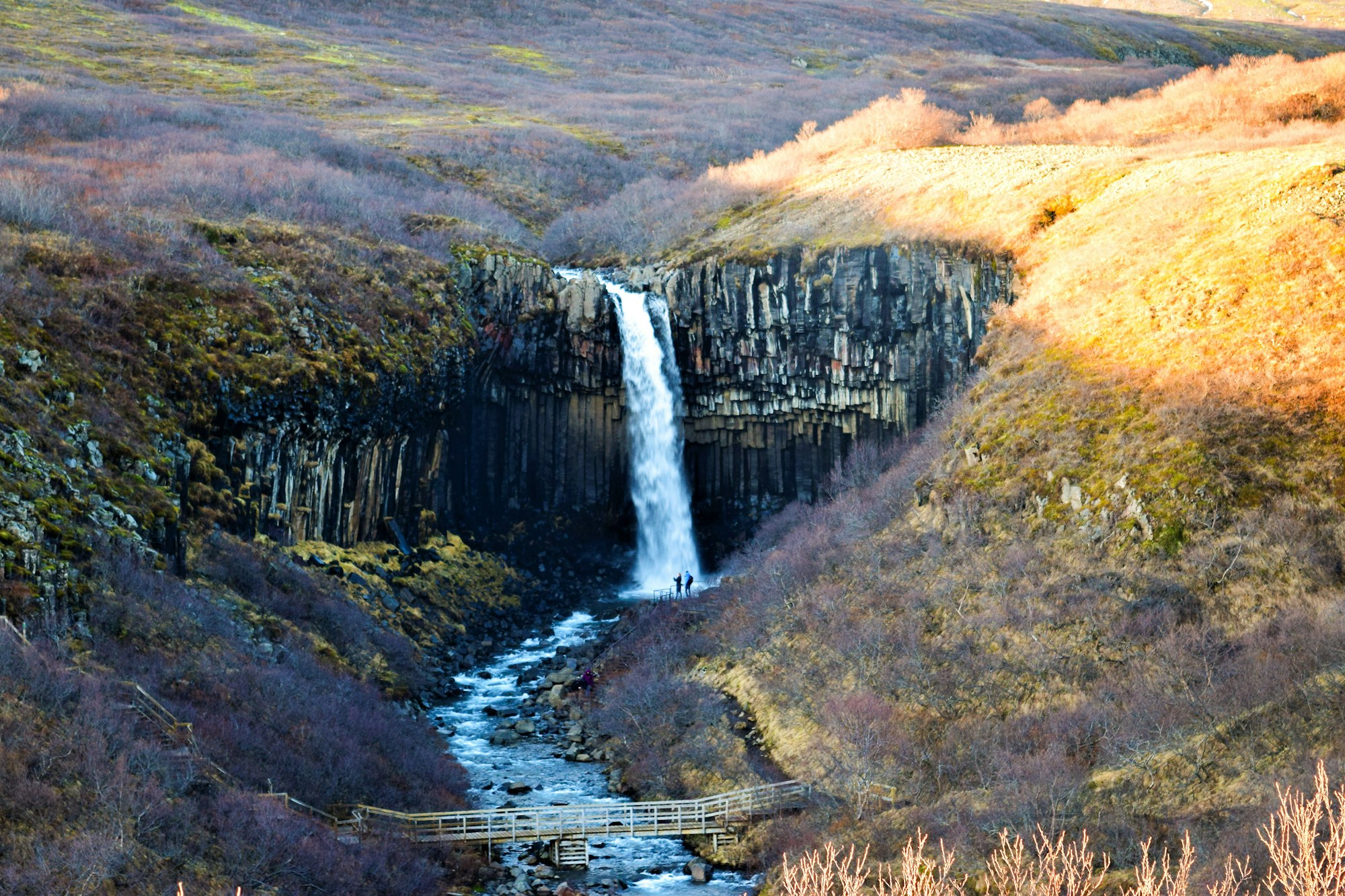
Skaftafell is the part of the park that never closes. Skaftafellsstofa, the visitor centre, and the campsite beside it run year round, and parking is paid per vehicle per day at a machine. S1 is an easy 4.1 kilometre walk, half of it paved and the rest gravel, to the lagoon at the Skaftafellsjökull snout, and it ends further from the ice every year. S2, 5.8 kilometres round, climbs graded path and steps to Svartifoss and the turf farm at Sel, boots rather than trainers, with a turn-taking queue on the platform under the basalt columns whenever the light is good. S6 to Sjónarnípa is 7.1 kilometres, rated challenging, and looks straight down the glacier tongue. In winter all three go on microspikes or snowshoes, and the rangers will say which on the day.
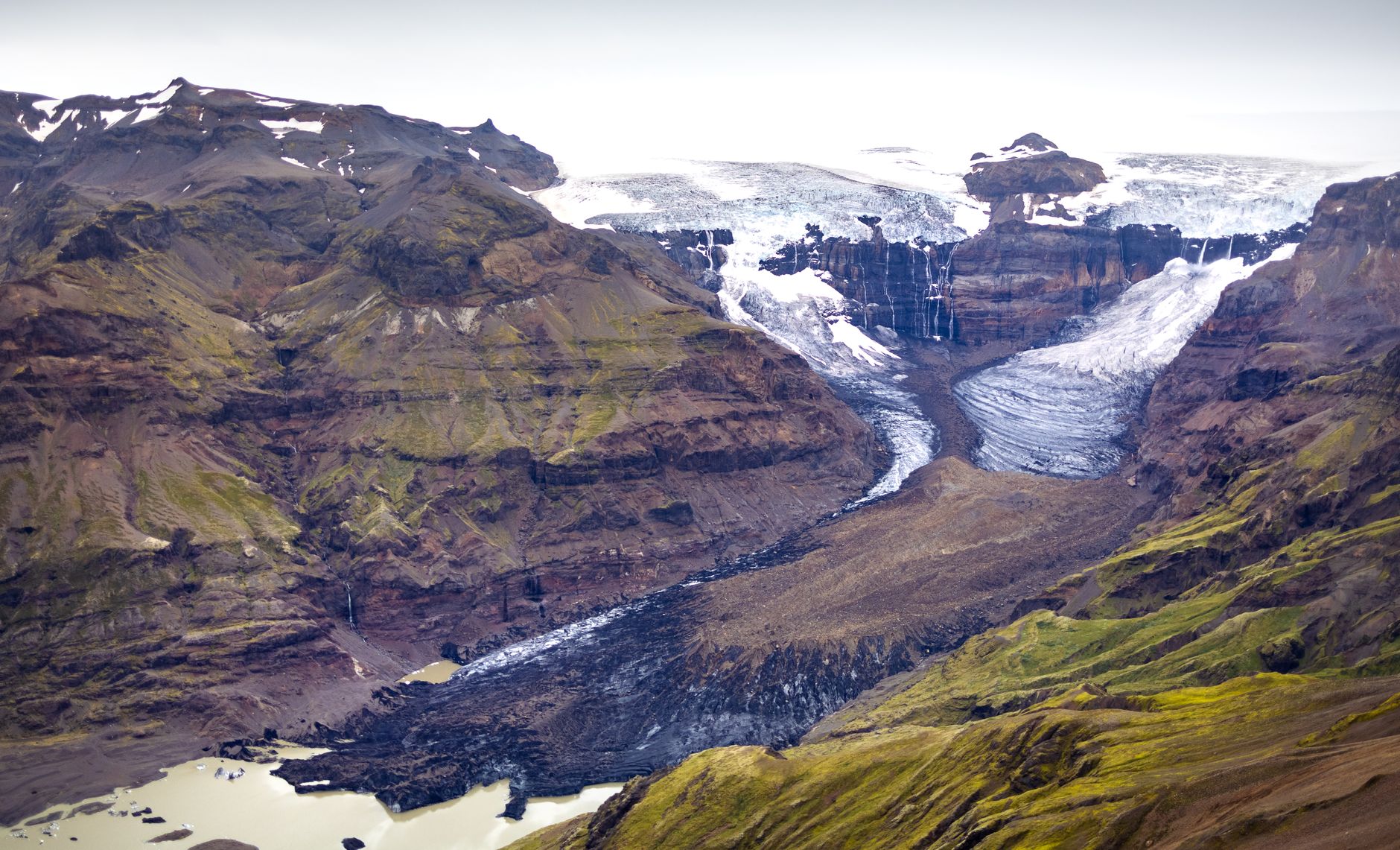
Glacier hikes leave from the same car park in every month and stand in for the caves through the summer, sold in roughly three to five hour lengths, with crampons, axe and helmet issued and a short lesson after the first fifty metres of climb. The kit note that catches people is to leave spare layers in the car, because sun coming off the ice makes a clear day warm. One tongue is off the list: a fracture 1.7 kilometres long was found high on Svínafellsheiði, Civil Protection warned against the glacier below it on 22 June 2018, and guiding moved to Falljökull and its neighbours.
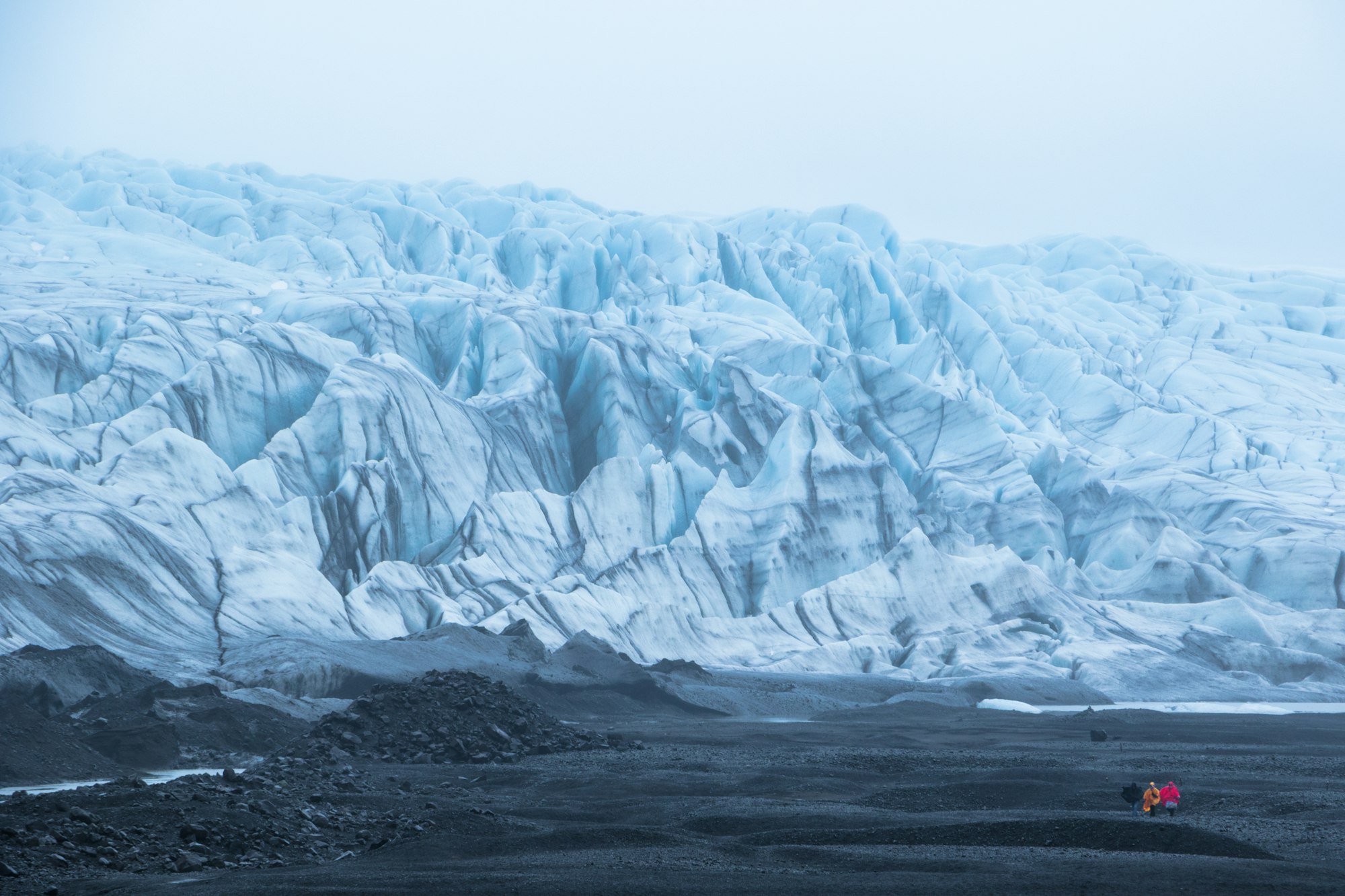
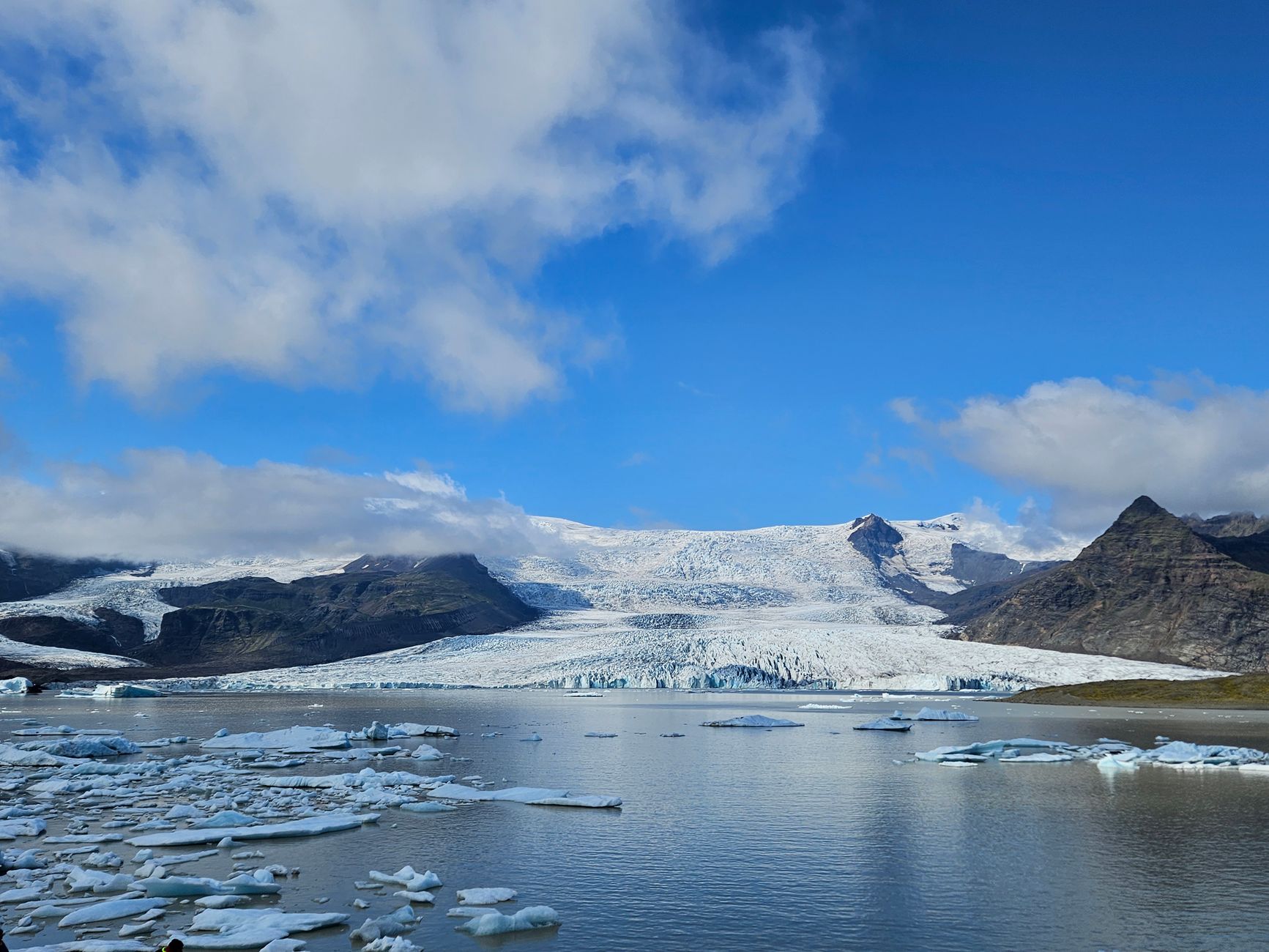
Jökulsárlón did not exist a century ago. Breiðamerkurjökull began retreating in the late nineteenth century and by about 1934 had pulled back behind its terminal moraine far enough for meltwater to pond behind it. The lagoon held some 8 square kilometres in 1975, almost 15 by 1998, and about 25 now, its calving front having given up some three kilometres of ground since 1945. It is tidal, brackish and joined to the sea, and it is working toward the road: scour and iceberg strikes have gone at the Route 1 bridge foundations often enough that the Road Administration has laid rock armour and a sill across the riverbed above it.
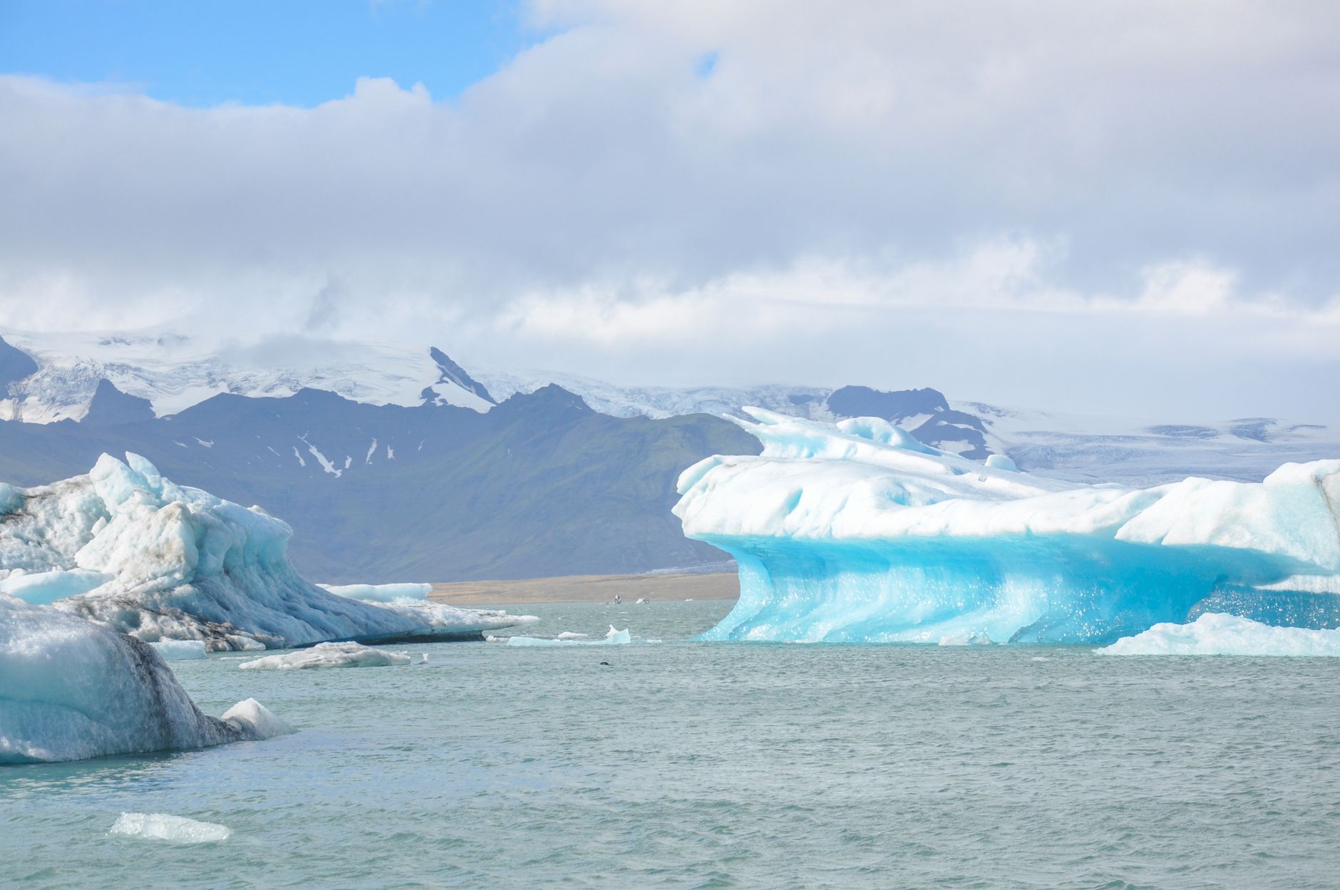
Two boats run from the jetty on the west side. The amphibian drives down into the water, takes 30 to 40 minutes, carries all ages and goes at least every half hour from June to August; it accepts walk-ups, though its operator asks for a booking in summer. The zodiac runs an hour and a quarter, goes several kilometres further up toward the glacier front, takes nobody under ten years old or 130 centimetres, and sells out well ahead. The amphibian season is roughly May to November and the zodiac May to October, and weather cancels both. In midwinter there is no boat at all, which catches people who booked flights for the caves and assumed the lagoon came with them.
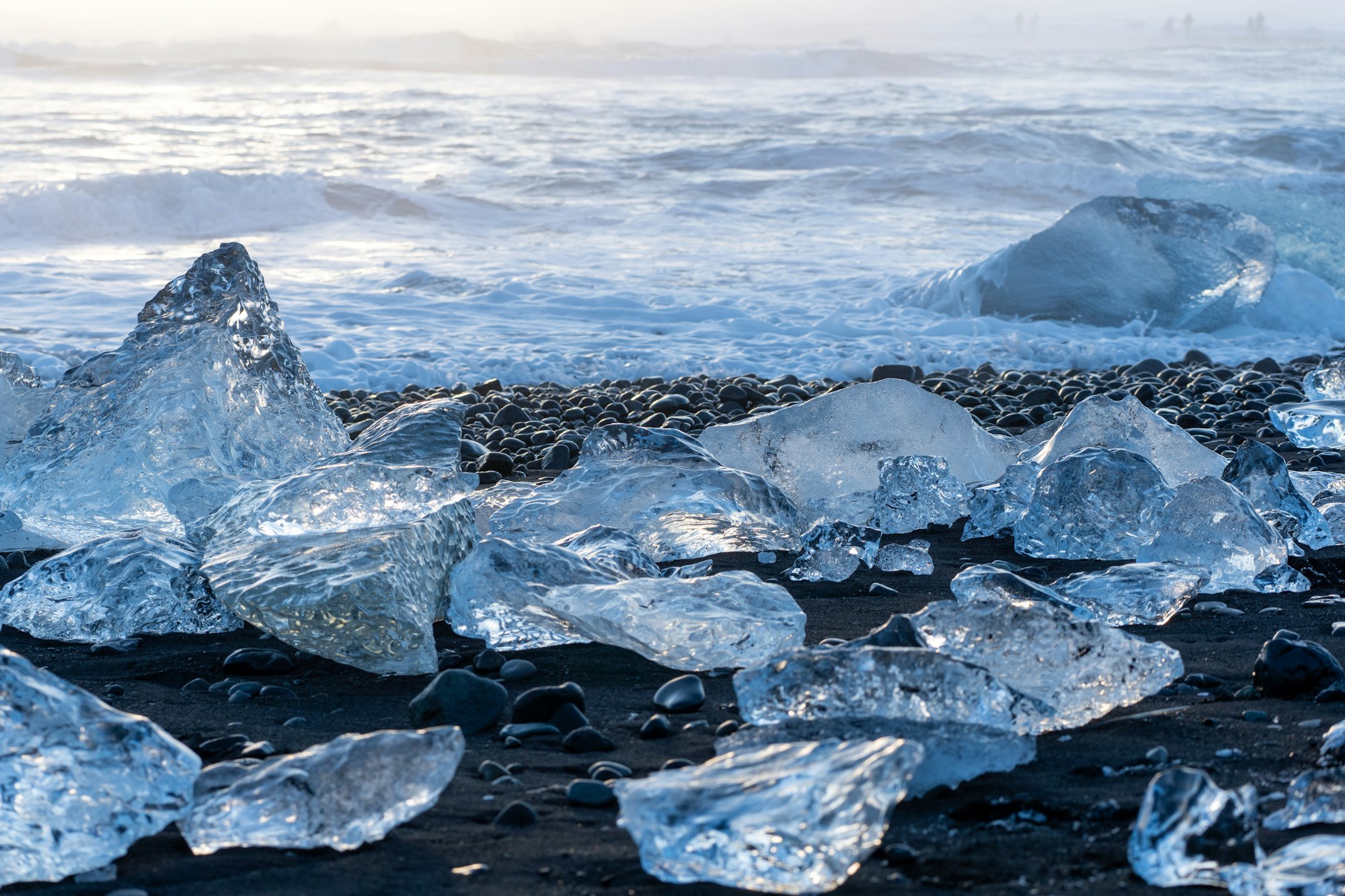
Diamond Beach is on the far side of Route 1 from the lagoon, an ocean beach the maps call Fellsfjara, with car parks on both banks of the river, so anyone who finds only one has seen half of it. What is on the sand is a lottery in every season: calving runs all year, a storm can carpet the beach overnight, and some days there is nothing there at all.
Do not climb on a stranded berg or stand between two, because they are slippery, sharp-edged and they roll, and do not turn your back on the water, because the sneaker waves that have killed at Reynisfjara run this whole coast. When the Jökulsárlón car park fills, and in July it will, Fjallsárlón is ten kilometres west down a short spur, quieter, with a café and a closer view of the glacier front.
All of that is a Ring Road destination in any month. The northern and eastern areas of the park run on a season measured in weeks, at the end of F-roads that are legally 4x4 only, unbridged in places, opened by Vegagerðin when the snow and the rivers allow and usually shut again from mid September, on no published closing date. Vegagerðin's five year average for F206 into the Laki craters is 20 June. Its figures for the Askja roads are older and looser, late June for F88 from the north and the first week of July for F910 and F905 from the east, and every one of them moves by weeks, so the only date worth acting on is the one umferdin.is is publishing that morning.
Open is a different condition from passable. F88 carries unbridged fords that can be impossible on the day, and the standard rental waivers exclude water damage and river crossings. Askja is drivable in a properly rated 4x4 and also goes as a long day on the organised bus out of Mývatn; Kverkfjöll runs as a guided day out of Möðrudalur, or an overnight at the Sigurðarskáli hut, where there is no shop and no fuel.
Beds are the constraint on the coast, because there are almost none at the lagoon. The district under Öræfajökull has been called Öræfi, the wasteland, since the volcano produced the island's largest explosive eruption since settlement in 1362, and the farmed strip beneath the ice has been thin ever since. Fosshotel Glacier Lagoon at Hnappavellir, 125 rooms, is most of the capacity between Skaftafell and the lagoon; Hotel Skaftafell is family-run; Hali Country Hotel, east of the lagoon, cooks farm lamb and arctic char. Otherwise it is farm guesthouses, or Höfn an hour east, where Pakkhús serves langoustine on the harbour in a 1932 fish warehouse, no reservations, kitchen closing at half past nine. Sleeping near the lagoon is what puts a visitor there ahead of the Reykjavík coaches, which do not arrive until late morning.
Three sites decide a day here, read in the morning: umferdin.is for road status, safetravel.is for alerts and the 112 Iceland app, and en.vedur.is for weather and the aviation colour codes on the volcanoes. Grímsvötn, under the ice cap, is the most frequently active volcano in the country and has been quiet since 2011; its caldera lake drained in late 2021, October 2022, December 2023 and January 2025, and the Meteorological Office now sees that coming days ahead, so what reaches a visitor is an announced closure of the bridges on Skeiðarársandur and a smell of sulphur.
Bárðarbunga, in the northwest of the ice cap, has been restless for a decade and has never closed the coastal park. The eruptions that have filled the coverage of Iceland since December 2023 are at the other end of the country, on the Reykjanes peninsula beside Grindavík and Keflavík airport, roughly 350 road kilometres away in a separate volcanic zone. Nine of them have come and gone since, and the Ring Road stayed open through all nine.
What the ice cap can do to a road it did on 5 November 1996. A fissure had opened beneath the glacier at Gjálp five weeks earlier and melted around three cubic kilometres of ice, which drained sideways into the Grímsvötn caldera and lifted the ice dam holding it, so the eruption finished on 13 October and the danger went on building for three weeks after it. When the water came out from under Skeiðarárjökull it ran about 52 hours, carrying blocks of ice ten to fifteen metres high and weighing up to a thousand tonnes.
The Gígjukvísl bridge went entirely. The Skeiðará bridge, 904 metres and the longest Iceland ever built, lost a fifth of its length. Nobody died, because the monitoring had closed the road in advance, and the replacement went back lower and cheaper, on an embankment with sections designed to wash out and be rebuilt fast. Then the glacier kept retreating, and by 2009 the river had abandoned its channel and swung west, leaving the surviving span crossing dry black sand. It came down late in the 2010s. Two of its girders were kept, twisted as the flood left them, at a signposted pull-in west of the Skaftafell turn.