Two twisted steel girders stand at a signposted pull-in beside Route 1 on Skeiðarársandur, west of the Skaftafell turn. They are what survives of a 904 metre bridge, the longest Iceland ever built. On 30 September 1996 a fissure opened under the ice cap at Gjálp, roughly halfway between the central volcanoes Bárðarbunga and Grímsvötn, a day after a magnitude 5.6 earthquake at Bárðarbunga. It erupted for a fortnight and melted something on the order of three cubic kilometres of ice, which drained sideways under the glacier into the Grímsvötn caldera lake and sat there, lifting the ice dam that held it. The eruption ended on 13 October. Roughly three weeks passed. The danger was still building after the volcano had stopped.
The jökulhlaup burst out from under Skeiðarárjökull on the morning of 5 November, ran about 52 hours, and carried between three and four cubic kilometres of ash-laden water at a peak discharge the Scott Polar Research Institute logged at close to 45,000 cubic metres a second, with other accounts running to 55,000. The water alone the bridges might have survived. What came with it was ice, blocks of 200 tonnes early on and then blocks ten to fifteen metres high weighing up to a thousand tonnes. The Gígjukvísl bridge, 376 metres, went completely. The Skeiðará bridge lost its eastern fifth, leaving some 700 metres standing. Twelve to fifteen kilometres of Route 1 went with them, along with seven kilometres of protective dikes, 23 power-line towers and at least 180 million tonnes of sediment dumped on the plain.
Nobody was killed, because the road had been closed in advance on the strength of the monitoring. The Ring Road was cut and the east of the country was reachable only the long way round while the crossing was rebuilt, and it came back lower and cheaper, a long embankment with sections meant to be sacrificed and replaced fast. By 2009 Skeiðarárjökull had retreated far enough that the Skeiðará abandoned its channel, shifted west along the ice margin and joined the Gígjukvísl, leaving the surviving bridge spanning dry black sand. It was dismantled late in the 2010s and two girders were kept. Skeiðarársandur covers about 1,300 square kilometres and takes half an hour to cross with nothing on either side.
Vatnajökull National Park was created on 7 June 2008 by folding the older Skaftafell and Jökulsárgljúfur parks into the ice cap between them. It covers about 14,000 square kilometres, around 14 per cent of Iceland, and UNESCO inscribed it in 2019 under the criterion for ongoing geological processes, as a dynamic landscape of fire and ice: the listing is, in plain terms, for instability. The ice cap runs to roughly 7,700 to 8,100 square kilometres over some of the most active volcanic systems in the country. The park comes in four administrative areas: Southern (Skaftafell, Öræfajökull, Jökulsárlón), Western (the Laki craters and Eldgjá), Northern (Jökulsárgljúfur, Dettifoss, Ásbyrgi, Askja) and Eastern (Kverkfjöll, Snæfell). Skaftafell and Askja are hundreds of kilometres apart and do not share a season.
The caves need winter and the F-roads need midsummer. They are two different trips to the same national park.
The winter product sets the dates. The natural ice caves are meltwater conduits inside the glacier: they run in summer, drain in autumn and refreeze into something walkable, so they are surveyed fresh every autumn and are never the same caves twice. The usable window runs roughly November to March, with December to March the most dependable stretch, and a warm spell or a day of rain can shut a cave overnight. Summer tours inside the park are prohibited, an advisory board has proposed ending each season in mid-April, and the regulations were still being written through 2025, so no date printed anywhere is worth trusting over what the operator says the week before. Book the cave first: departures are capped by permit and the season is short, so that reservation fixes the dates, ahead of flights and rooms.
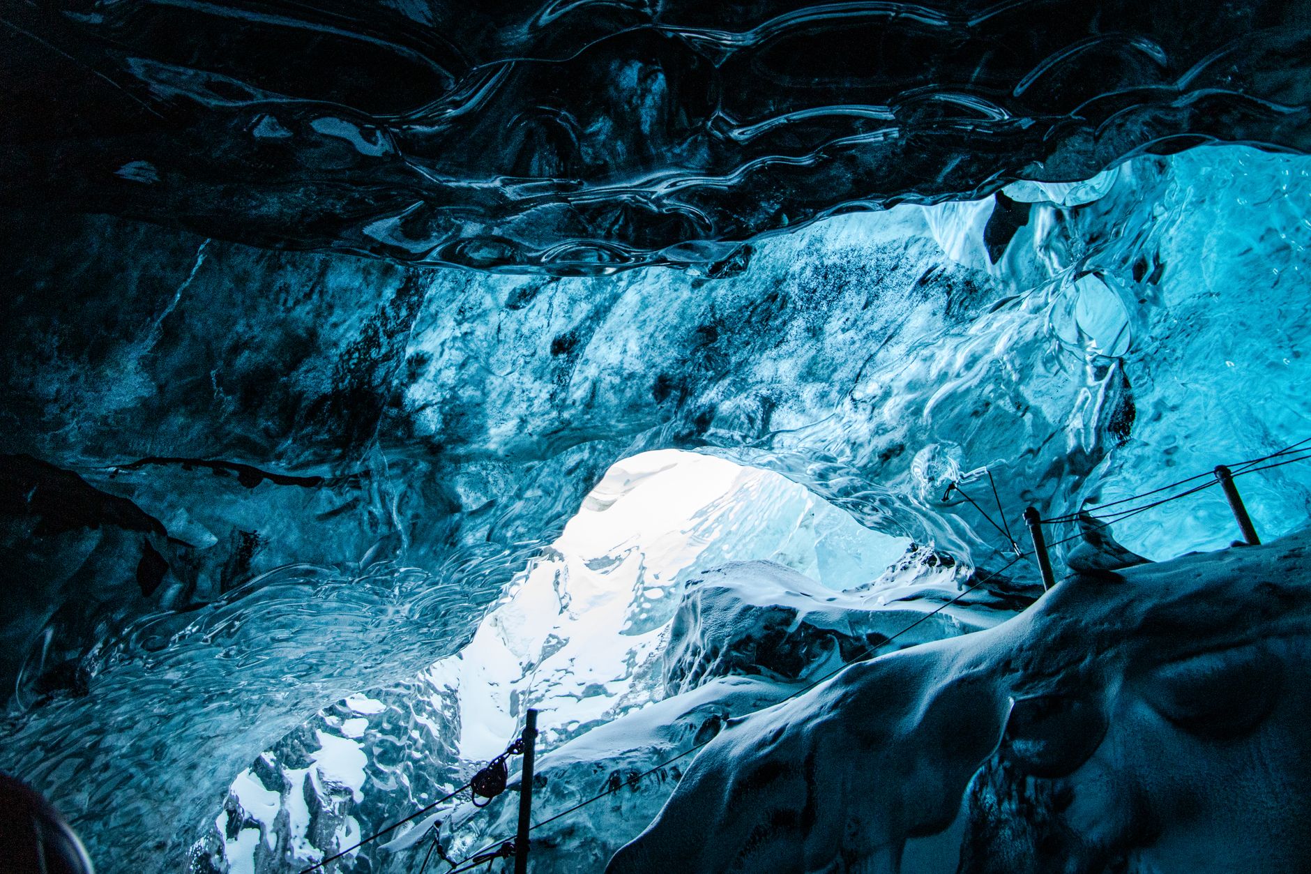
Ice caves and glacier tongues inside the park are guided-only, on permits. Operators must be licensed by Ferðamálastofa, the Icelandic Tourist Board, and hold a park contract, with safety standards referencing Félag fjallaleiðsögumanna, the Association of Icelandic Mountain Guides, each cave monitored daily and the Nature Conservation Agency able to cap numbers. That regime came out of 25 August 2024, when a cave at Breiðamerkurjökull collapsed on a guided party of 23 in daylight, killing one American visitor and seriously injuring his partner. Tours were suspended the same day. Check, too, which glacier a tour visits. The cave marketed as open all year is in Kötlujökull, an outlet of Mýrdalsjökull, and it meets in Vík, two hours west of Skaftafell and outside this park; other year-round products are man-made tunnels bored into Langjökull, in the west of the country. A tour meeting in Vík is not a Vatnajökull cave, and booking one from a lagoon hotel means two hours the wrong way in the dark. The superjeep on the booking page is the access method: caves are reached across the outwash plain in modified 4x4s, threading ground that behaves like quicksand where ash-saturated meltwater has soaked it, unmarked and unguessable from the surface. Crampons are fitted on site and hard hats issued, so nothing needs buying beyond boots stiff enough to take a strap-on crampon.
Winter also defeats every drive-time estimate here. In summer daylight, Route 1 gives Reykjavík to Skaftafell in about 330 kilometres and four hours, Reykjavík to Jökulsárlón in about 377 kilometres and four and a half to five, Jökulsárlón to Höfn in 80 kilometres and an hour. Near the winter solstice the sun comes up around eleven and is gone by four, so a five-hour drive to the lagoon spends the whole of the light arriving in the dark. Wind is the constraint, ahead of snow: gusts on this coast routinely pass 100 km/h, advisories run to 35 metres a second, visibility can go to nothing, and wind takes car doors off their hinges, which is the single most common claim on an Icelandic hire car. Ploughing sets the departure time, so a nine-thirty start may be the earliest available. In winter, plan one leg a day. Tour operators make their own call on the morning, and groups have left a car park in fog and walked into sun at the ice an hour later.
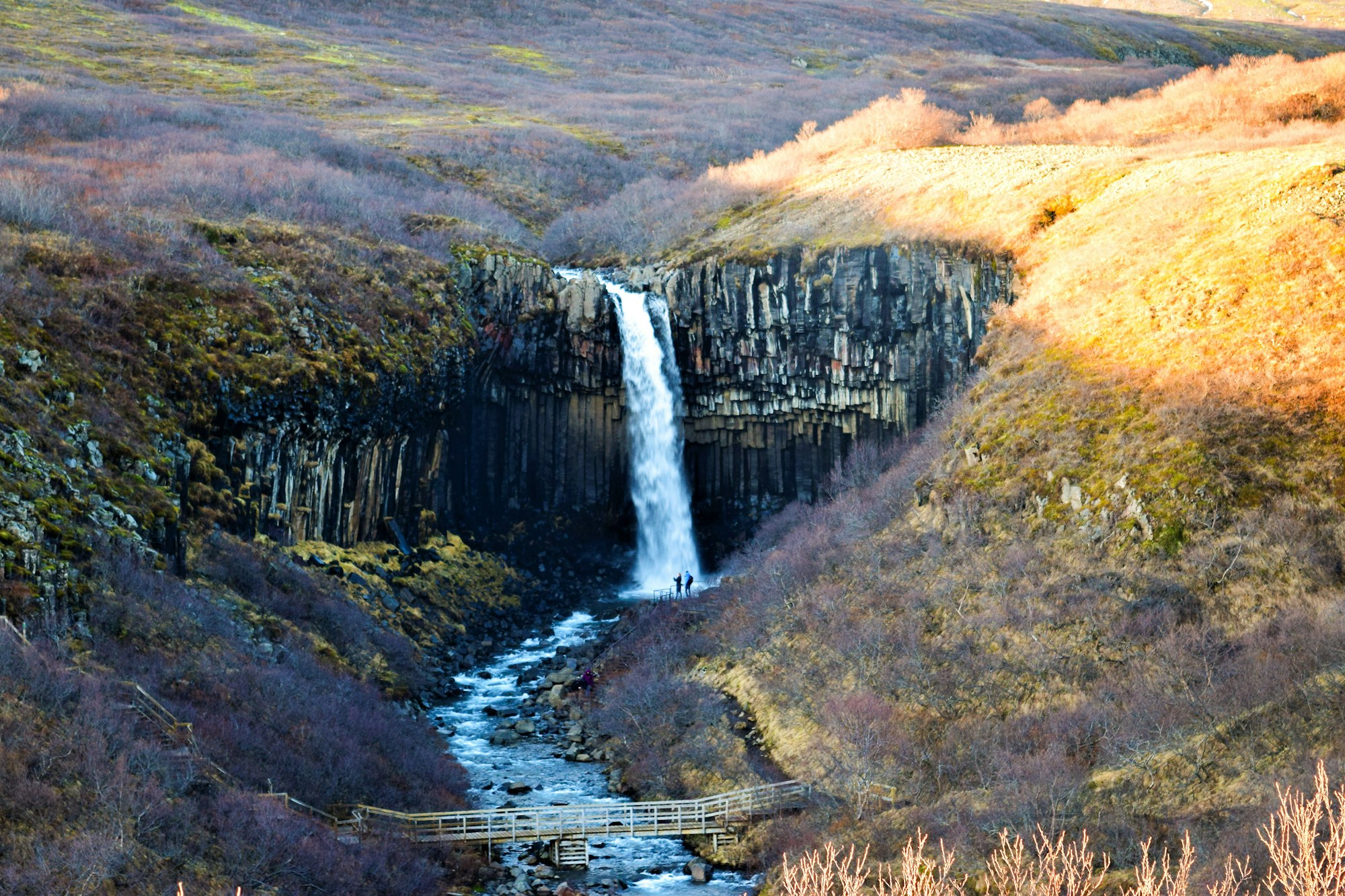
Skaftafell is the part of the park that never closes. Skaftafellsstofa visitor centre and the campsite both run year round, and parking is paid per vehicle per day at a machine in the car park. S1 to Skaftafellsjökull is 4.1 kilometres return, an hour to an hour and a half, flat gravel to the lagoon at the glacier snout, and it ends further from the ice every year as the glacier pulls back. S2 to Svartifoss and the turf farm at Sel is 5.8 kilometres and about two hours for the full loop; walkers going out and back to the falls alone report roughly 3.2 kilometres, 130 metres of climb and an hour and a half. Graded path and steps most of the way, rocky at the top, boots and not trainers, and the platform below the basalt columns is a turn-taking business whenever the light is good. S5 to Sjónarnípa, 6.5 kilometres and two to two and a half hours, rated challenging, gives the better view straight down the Skaftafellsjökull tongue. The upper car park has been closed at times, which removes the short approach and adds an hour. All of it goes in winter on microspikes or snowshoes, and the Skaftafell rangers will say which on the day.
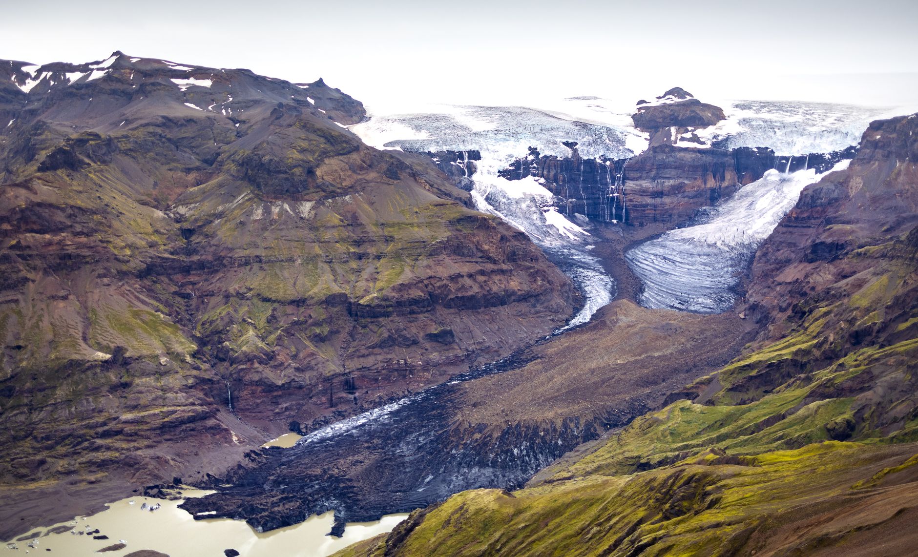
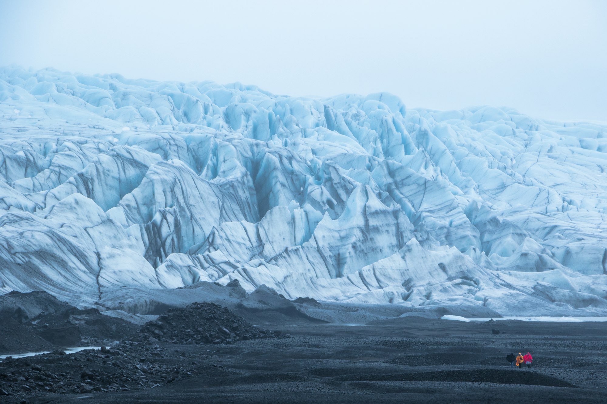
Glacier hikes run from Skaftafell all year and are the summer stand-in for the caves. Two lengths are sold, around three hours and around five, and the short one barely gets past the snout. Helmet, harness, ice axe and fitted crampons are issued, and technique is taught on the ice: after the first fifty metres of climb the guides stop for a short lesson, which is enough for someone who has never been on a glacier. The kit note that catches people is to leave spare layers in the car, because sun coming off the ice makes a clear day warm. One glacier is off the list. A moving fracture roughly 1.7 kilometres long, covering about a square kilometre, was found high on Svínafellsheiði and made public on 22 June 2018; Civil Protection advises against travel on the glacier below it, and the guided walks that had been taking something like a thousand people a day moved to Falljökull, Virkisjökull and Breiðamerkurjökull.
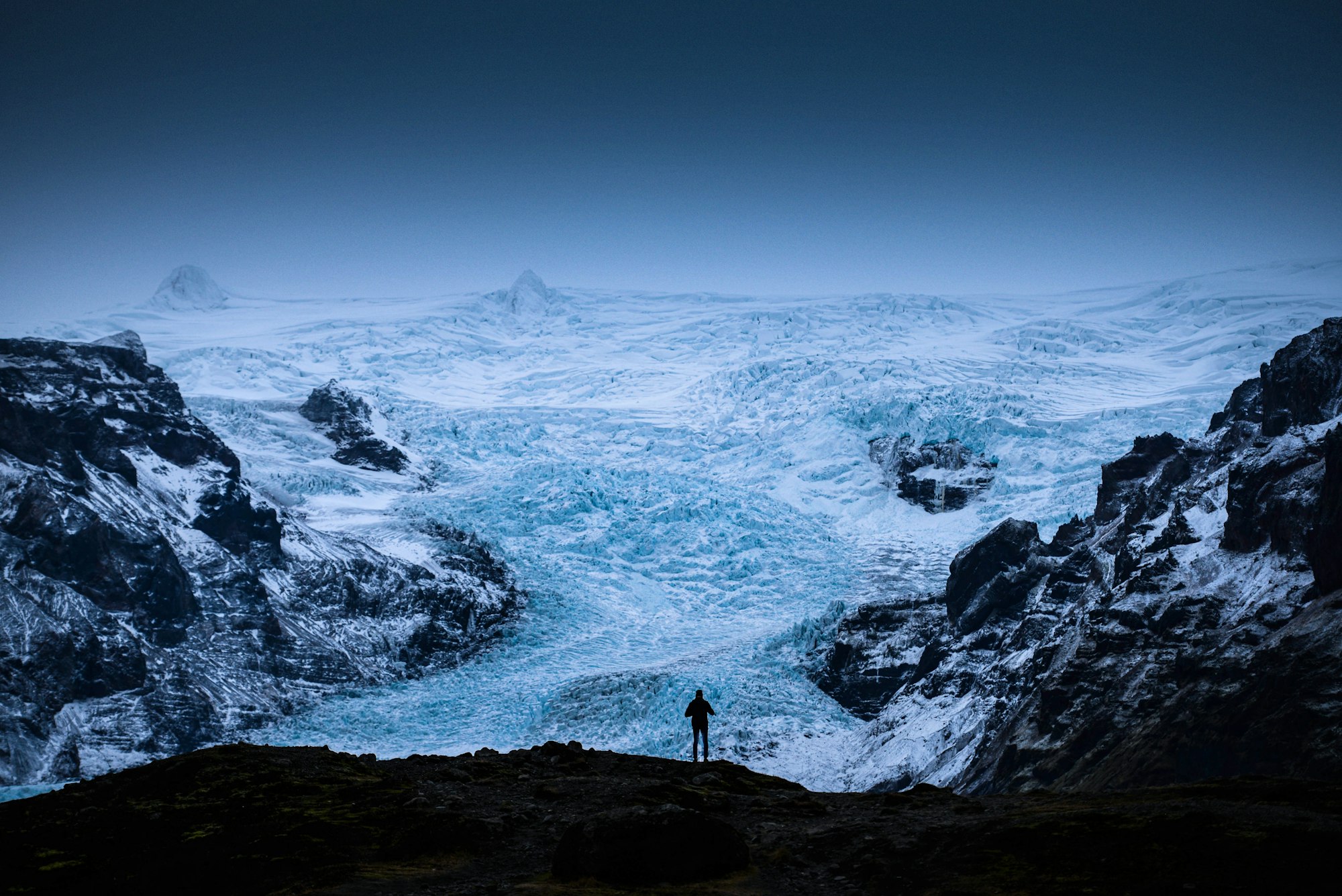
Jökulsárlón, the lagoon most people come for, is younger than the Ring Road. Breiðamerkurjökull began retreating in the late nineteenth century and by about 1934 had pulled back behind its terminal moraine far enough for meltwater to pond. It held some 8 square kilometres in 1975, roughly 25 today, with the glacier front giving up ground on the order of 200 metres a year. It was surveyed at more than 280 metres deep in 2009 and is usually called Iceland's deepest lake, though that came from a single measurement taken after a jökulhlaup, the lagoon has gone on deepening since, and it is a tidal, brackish, sea-connected lagoon rather than a lake in the ordinary sense. It is now eating toward the road. Its outlet, the Jökulsá, is among the shortest rivers in the country at well under a kilometre, and tidal scour and iceberg impact have gone at the Route 1 bridge foundations often enough that the Road Administration has put in rock armour and a coffer dam.
Boats are a summer product and there are two, from the jetty on the lagoon's west side. The amphibian drives into the water, runs 30 to 40 minutes, takes all ages and goes at least every half hour from June to August. It takes walk-ups, but the operator recommends booking ahead, especially in the summer season, so a party driving four and a half hours from Reykjavík in July should not arrive on the assumption of a seat. The zodiac is about an hour and a quarter, issues flotation suits and lifejackets, runs around ten departures a day in peak season, goes several kilometres further up towards the glacier front and sells out well ahead. The amphibian season runs roughly May to November, the zodiac May to October, and both stop for weather. In the depth of winter there is no boat at all, which surprises people who booked flights for the ice caves and assumed the lagoon came with them.
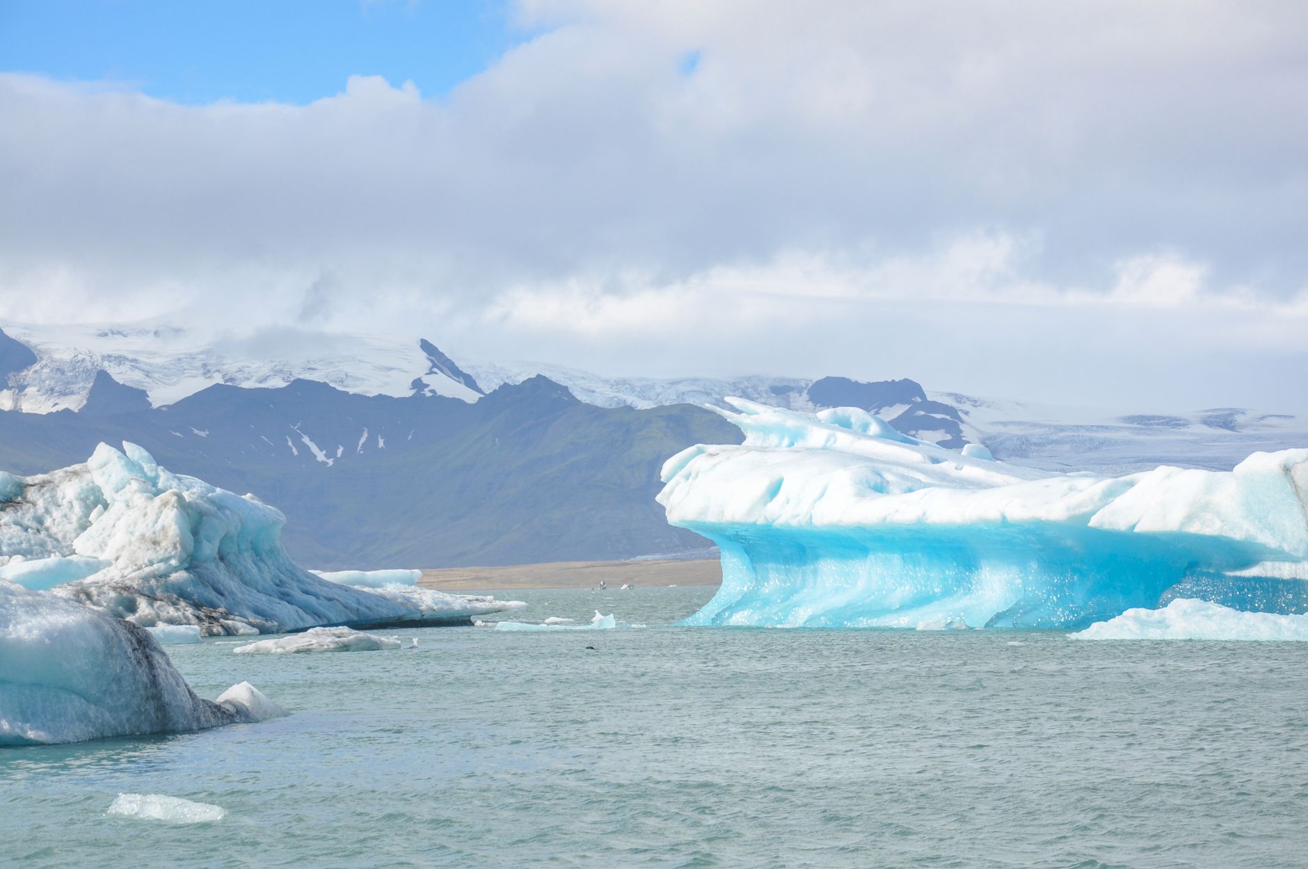
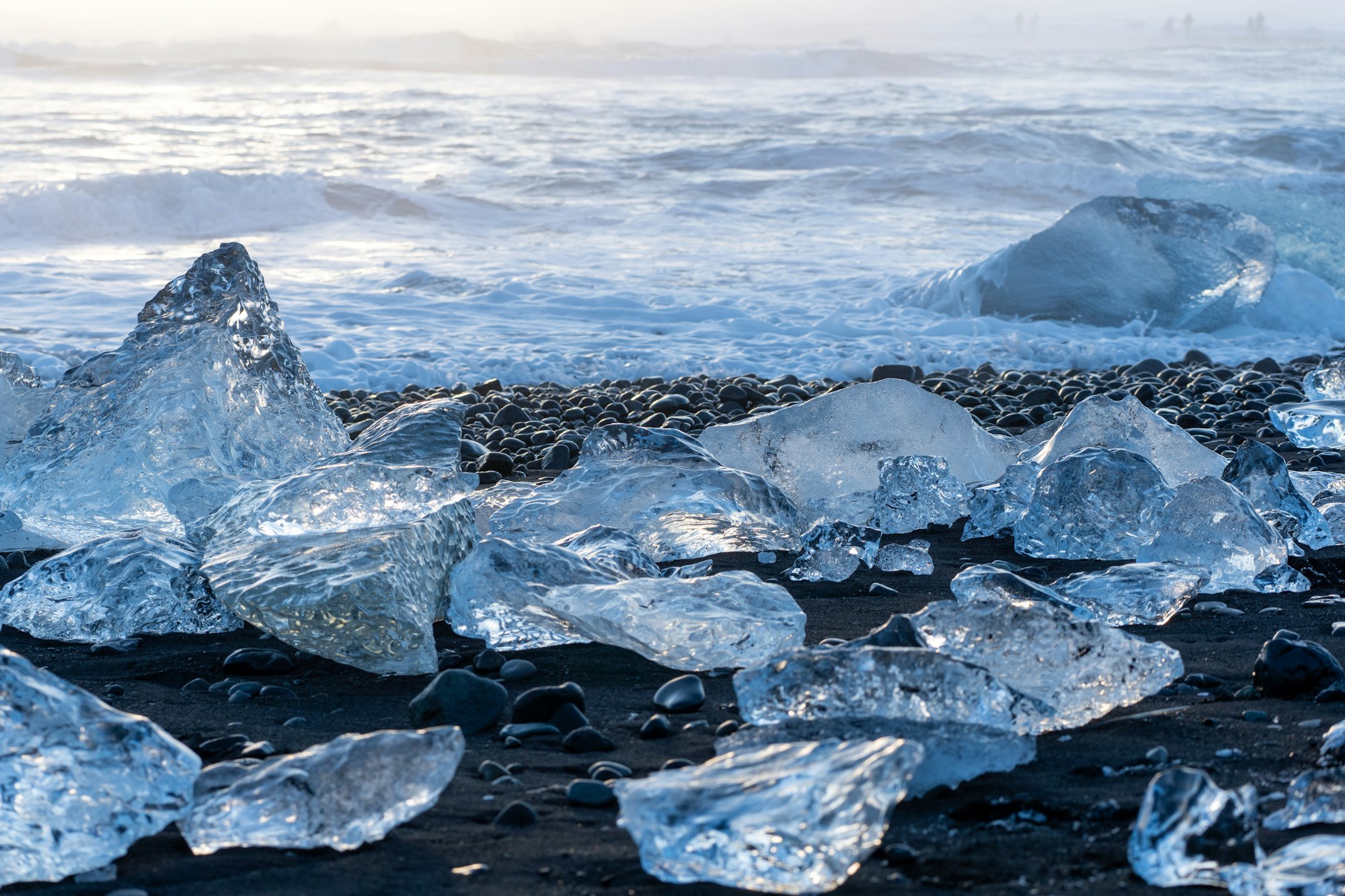
Diamond Beach sits on the other side of Route 1 from the lagoon, an ocean beach called Breiðamerkursandur, a few minutes of flat walking over sand, with car parks on both the west and east sides of the river, so people who find only one have seen half of it and driven away. What is on the sand is a lottery, and not the seasonal one visitors assume: calving runs all year, a storm can carpet the beach overnight, some days there is nothing there at all, and the biggest blocks turn up in September as readily as in February. Look, and come back later in the day if it is bare. Do not climb on stranded bergs or stand between them, because they are slippery, sharp-edged and they roll. And do not turn your back on the water: the failure mode is standing with a camera up, and sneaker waves on this coast have killed people. Waterproof boots. When the Jökulsárlón car park is full, and in July it will be, Fjallsárlón is about 10 kilometres west off Route 1 on a short gravel road, smaller and much quieter, with a café, a summer zodiac operation, a closer view of the glacier front and, beyond it, quieter again, Breiðárlón.
The coastal park is a Ring Road destination in any month. The northern and eastern areas have a season measured in weeks, reached on F-roads, legally 4x4 only, unbridged in places, opened by Vegagerðin when the snow and the rivers allow, on dates that move by up to three weeks from year to year. Typical openings, 2021 to 2025, with the observed range in brackets: F88 Öskjuleið for Askja around 30 June (14 June to 2 July), F910 Austurleið for eastern Askja and Kverkfjöll around 15 July (30 June to 26 July), F206 Lakavegur into the Laki craters around 20 June (12 June to 1 July). Most close in September and an early snowfall closes them with no notice. Treat those as typical and none of them as this year's, which is published on umferdin.is and nowhere else. Open is also a different thing from passable. F88 carries two large unbridged fords between Route 1 and Askja that can be hard or impossible on the day, and the bridged approach on F905 and F910 is the one most hire agreements tolerate. Kverkfjöll on F902 crosses the Kreppa and the Jökulsá á Fjöllum, glacial rivers that rise through the day with the melt, so an afternoon crossing is a different river from the morning's. Egilsstaðir is the last fuel before the eastern highlands, and Askja and Kverkfjöll are a two or three day undertaking in a superjeep or on an organised trip, not a day out in a hire car.
Three sites decide a day here, read in the morning, in this order. Umferdin.is, where the old road.is now points, for road status and closures. Safetravel.is for alerts, the travel plan and the 112 Iceland app. En.vedur.is, the Icelandic Meteorological Office, for weather and for the aviation colour codes and VONA notices that track the volcanoes. Grímsvötn erupts more often than anything else in Iceland, historically around seven times a century, and has been quiet since 2011. Its caldera lake drained in December 2021, October 2022 and December 2023, and that is now a forecast event: the office sees the lake going days ahead, and what reaches a visitor is announced bridge and road closures on Skeiðarársandur and a smell of sulphur. Bárðarbunga, under the northwest of the ice cap, is restless on a decade-long trend, with a magnitude 4.2 in the caldera in January 2026 and a swarm of some 400 quakes overnight on 14 June 2026 that lifted the aviation code to yellow before it went back to green the following day. That is a monitoring story, and Bárðarbunga has never closed the coastal park.
The eruptions that have dominated coverage of Iceland since December 2023 are on the Reykjanes peninsula, at the Sundhnúkur crater row by Grindavík, the Svartsengi power station and the Blue Lagoon, next to Keflavík airport in the southwest. That is roughly 350 road kilometres from Skaftafell and about 400 from Jökulsárlón, a different volcanic zone at the other end of the country. The ninth Sundhnúkur eruption ran from 16 July to 5 August 2025 and there has been none since, with magma still accumulating under Svartsengi and a further intrusion expected at some point. Keflavík and the Ring Road have never been closed by them, and none of it has ever closed this park.
Beds are the planning problem, because there are almost none at the lagoon itself. Öræfajökull above Skaftafell, which carries Hvannadalshnjúkur and the high point of Iceland at 2,109 metres, produced the country's most destructive eruption in 1362 and left the district below it named Öræfi, the wasteland; the farmed strip under the ice has been thin ever since, and so is the accommodation on it. Fosshotel Glacier Lagoon at Hnappavellir sits between Skaftafell and Jökulsárlón, runs 125 rooms and states that it is open all year. Hali Country Hotel, between the lagoon and Höfn, cooks farm lamb and arctic char and runs the Þórbergssetur, a museum to the writer Þórbergur Þórðarson, who grew up on the farm. Hotel Skaftafell is family-run and takes bookings online, by phone and by email. Otherwise there are farm guesthouses within half an hour of the lagoon, and Höfn, 80 kilometres and about an hour east, is a working fishing town with the real choice of rooms and restaurants. Vík, at two and a half hours, is a base for the south-coast waterfalls. Sleeping near the lagoon is what puts a visitor there ahead of the Reykjavík coaches, which do not arrive until late morning.
Höfn trades on langoustine, humar, whatever the English-language pages say about lobster, and Pakkhús serves it on the harbour in a fish export warehouse dating to about 1932, open daily from midday to half past nine. It takes no reservations, so a party arriving at eight off the Ring Road walks in or eats elsewhere. Book the rest in order: the winter ice cave weeks or months out, because permits cap it; then a room near the lagoon for July, because there is very little of it; then the zodiac, which sells out; then a Skaftafell glacier hike a few days ahead in summer, further over Christmas; then the amphibian boat, which takes walk-ups but which its operator recommends booking ahead in summer. The car park, Svartifoss and Diamond Beach need nothing booked. Cards work everywhere, the parking machine included, so nobody needs to find an ATM. Seasonal dates in this piece are averages of previous years, and umferdin.is carries the ones that count on the morning. That road is the replacement, laid on an embankment designed to wash out and be rebuilt cheaply, and the two girders at the signposted pull-in west of the Skaftafell turn are all that was kept of the bridge it replaced.