Everyone books it as the Caribbean. It sits level with South Carolina, a thousand kilometres out in the open Atlantic.
Ninety seconds on the country
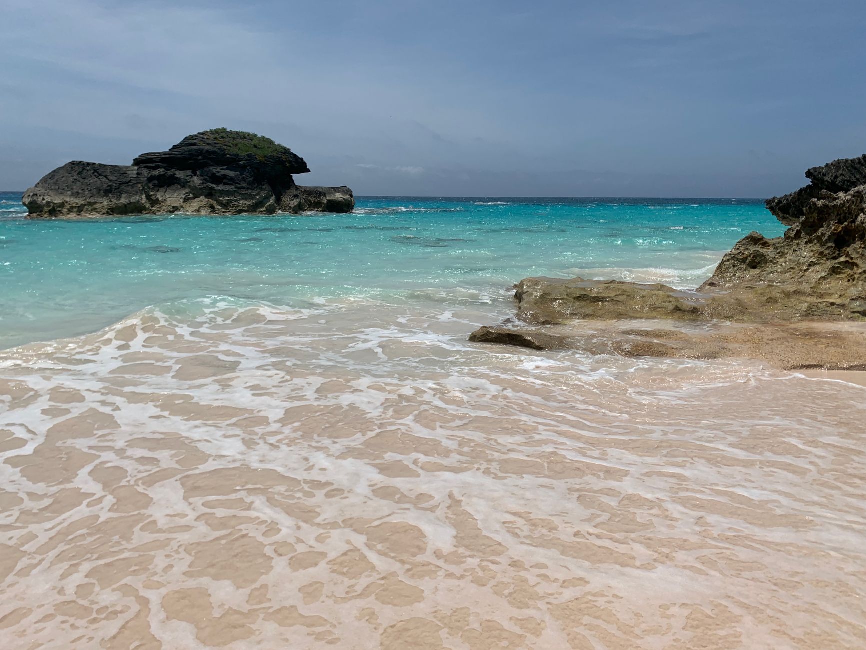
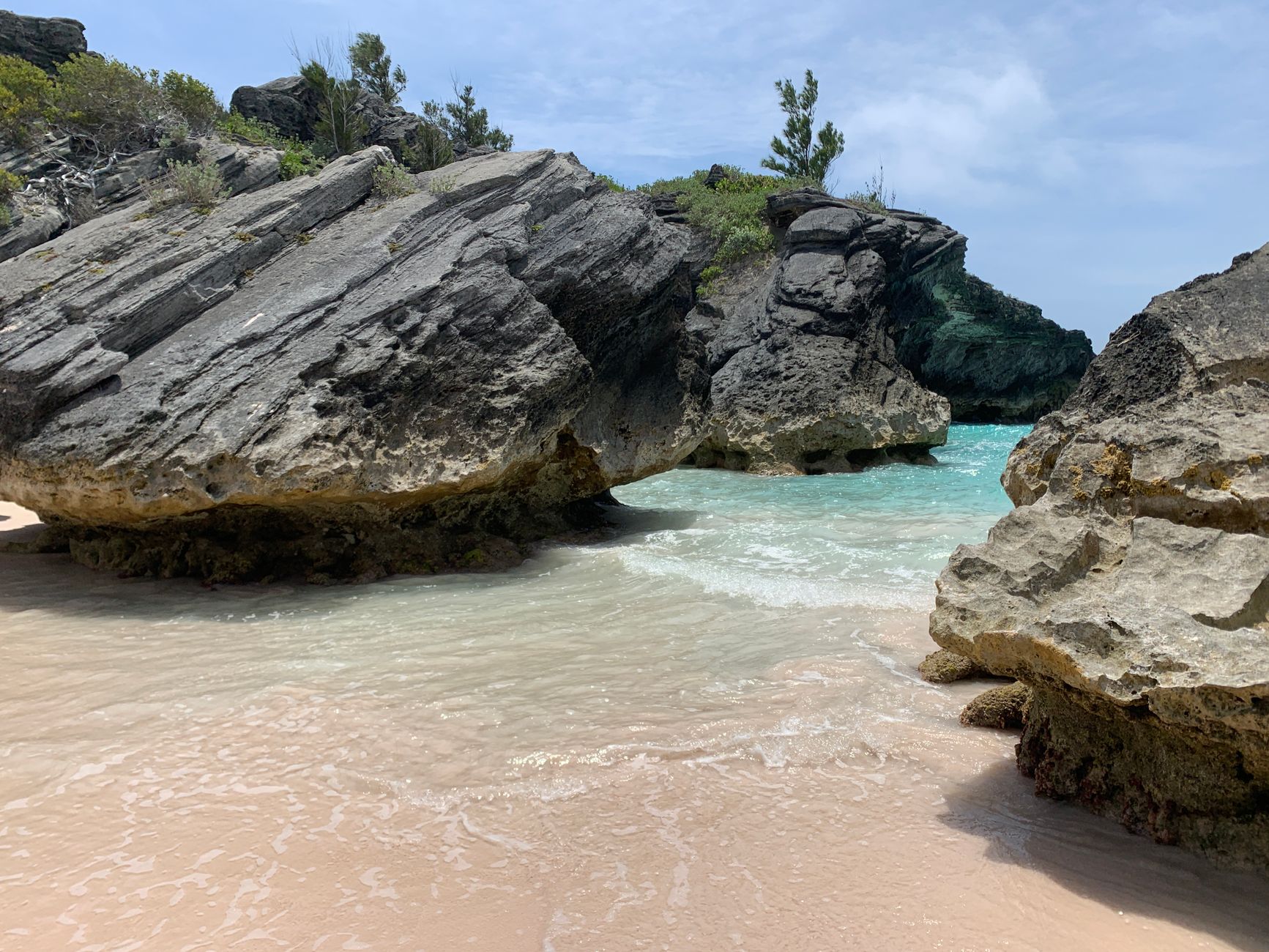
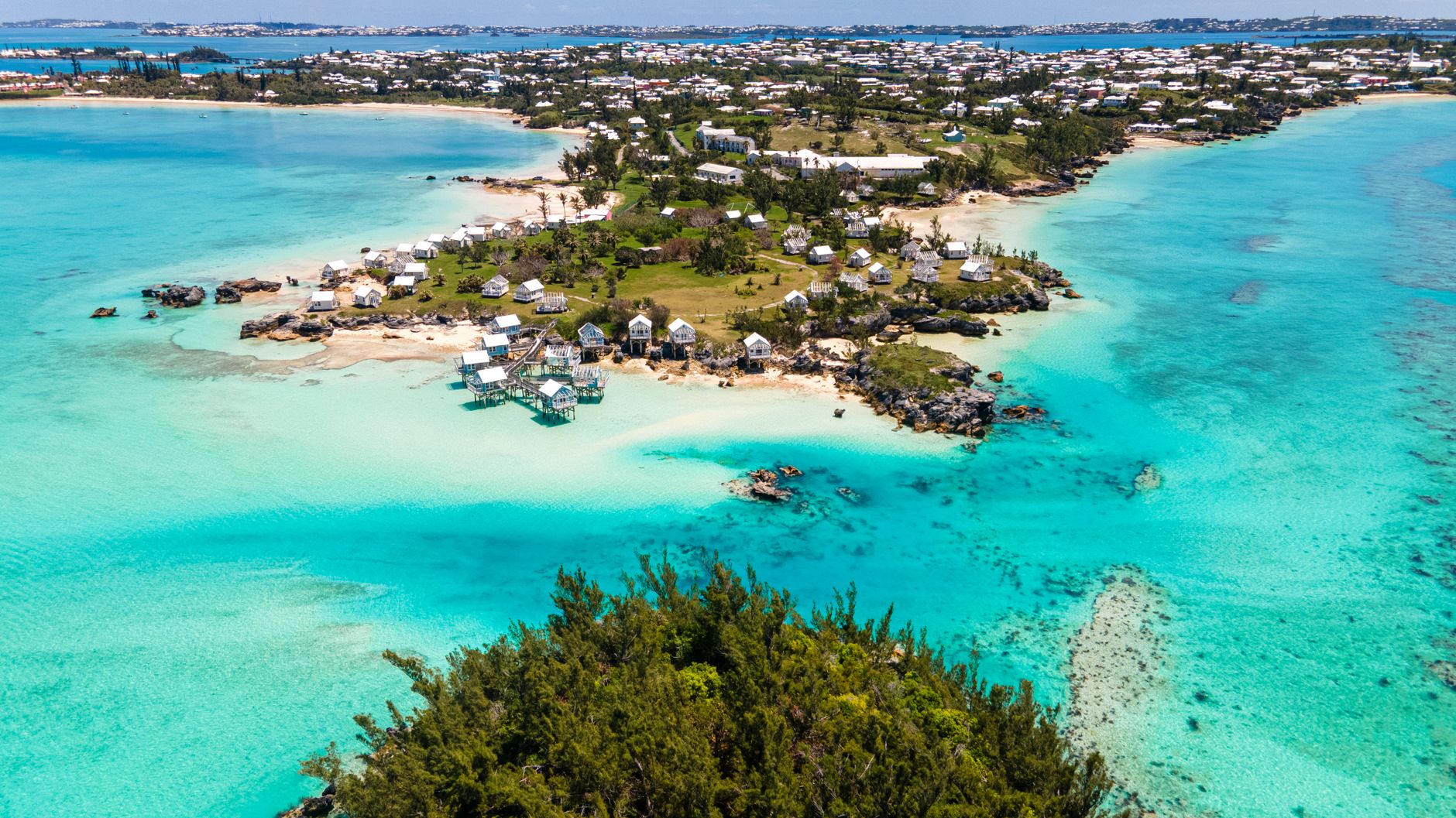
Bermuda is the top of a sunken volcano wearing about sixty metres of limestone, and the reef around it is the most northerly of its kind anywhere. The Gulf Stream is the reason it exists at 32 degrees north, and the reef is the reason the water is that colour and the sand carries pink.
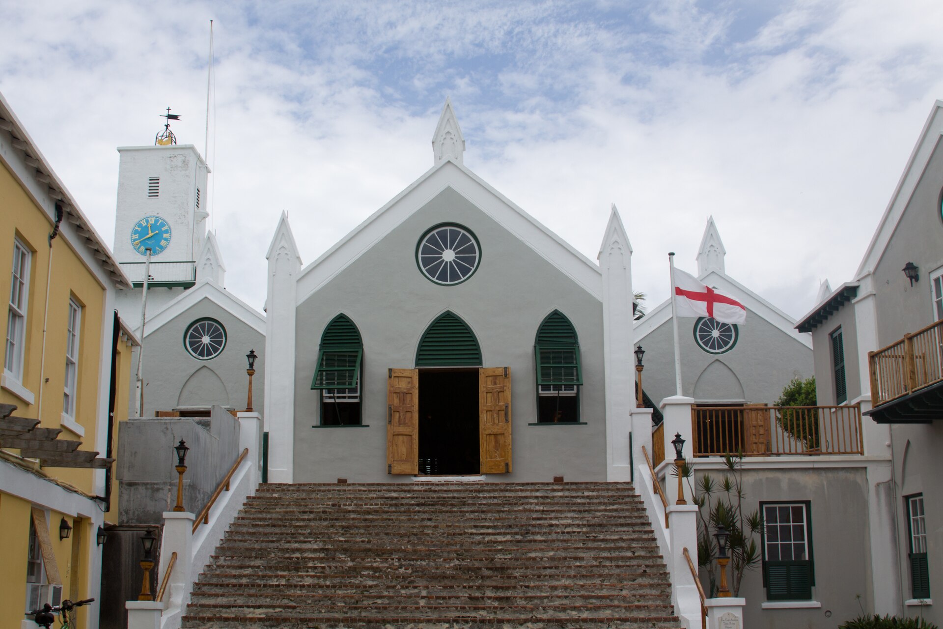
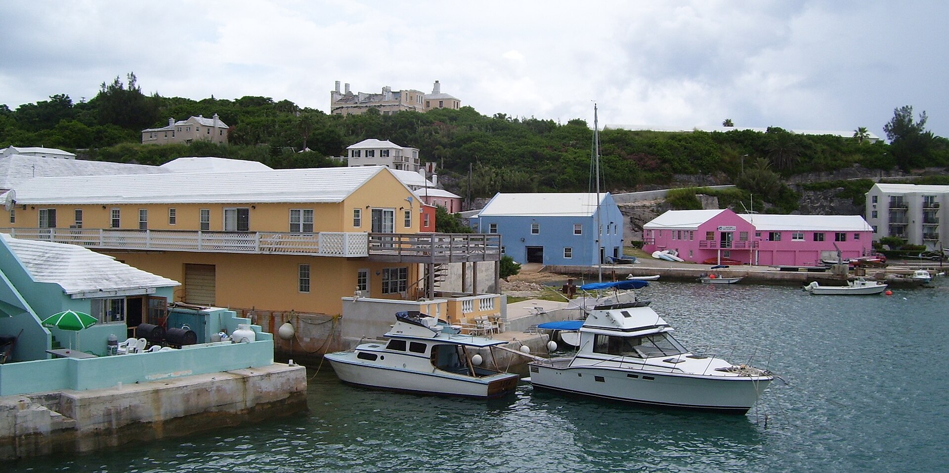
It is also the oldest continuously inhabited English settlement in the New World. St George’s has been lived in since 1612, which makes it older than any surviving town in the United States or Canada, and it is a UNESCO site because nobody ever got round to modernising it.
Those two things sit about twenty miles apart. A beach island with a seventeenth century town at one end and a Royal Navy dockyard at the other is an unusual combination, and the whole of it fits inside an hour on a bus.
Plan around the transport rather than the map. No visitor may drive a car, so a day is built out of buses, ferries, a scooter or a taxi, and short distances take longer than they look. There is also no fresh water: every roof on the island is a catchment, which is why they are all white and all stepped.
Pick how you want to travel. The parishes, the things to do and the map all change with it.
This is what the island is for, and the corpus agrees: 18 places across 9 parishes. The south shore carries the pink sand and the surf; the north shore and the sounds carry the flat water, and the two are ten minutes apart.
The south shore beaches are strung along one dune path rather than scattered, so a day there is a walk with swimming in it. The foreshore is public throughout the island, which is why no hotel owns a stretch of sand and the path never meets a gate.
The deepest shelf here: 43 places across 11 parishes. Most of it sits at the two ends, the World Heritage town of St George’s in the east and the Royal Naval Dockyard in the west, with Hamilton’s museums and galleries between them.
The forts are the through line. Bermuda was a fortress before it was a holiday, and the batteries are strung along the one channel through the reef that a ship could ever use. Almost none of them fired at anything.
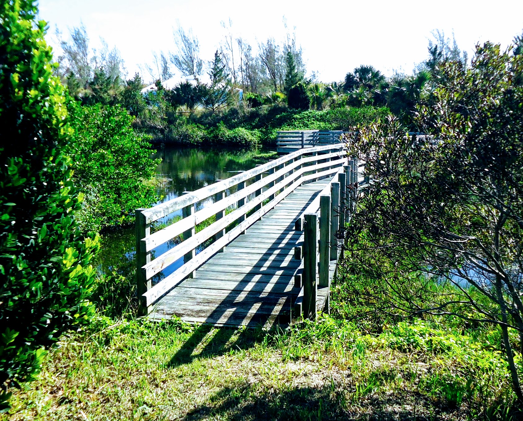
Twelve places across eight parishes, and the good ones are small. Spittal Pond takes the migrating waterfowl, Paget Marsh holds stands of cedar and palmetto that were never cleared, and Cooper’s Island was closed to the public until the Americans left in 1995.
The headline species is the cahow, an endemic petrel eaten to apparent extinction by the 1620s and found again in 1951. Its island is shut to visitors, which is the entire point of it, and the reserve next door is the one to walk.
Eleven places across six parishes, and nearly all of it is water or limestone. At Church Bay the reef comes close enough inshore for a competent swimmer to reach it from the sand, and the flooded caves at the eastern end are the same rock from underneath.
The one land route is the Railway Trail, which runs about 33 kilometres along the bed of the line that carried the island from 1931 until it was sold to British Guiana in 1948. It is the only way to cross Bermuda away from the roads.
Seven houses across seven parishes, which is the shape of the thing: Bermuda has never had a resort strip and the planning rules have never allowed one. The Hamilton Princess has been taking guests since 1885.
The rest are small, old and mostly family run, several of them cottage colonies scattered through their own grounds. What that buys is a stretch of beach with nobody on it rather than a lobby with everybody in it.
The places on this page are in the app, each with a verdict: why to go, how far from your hotel, how long to stay. Forward your confirmations and the days fill themselves in.