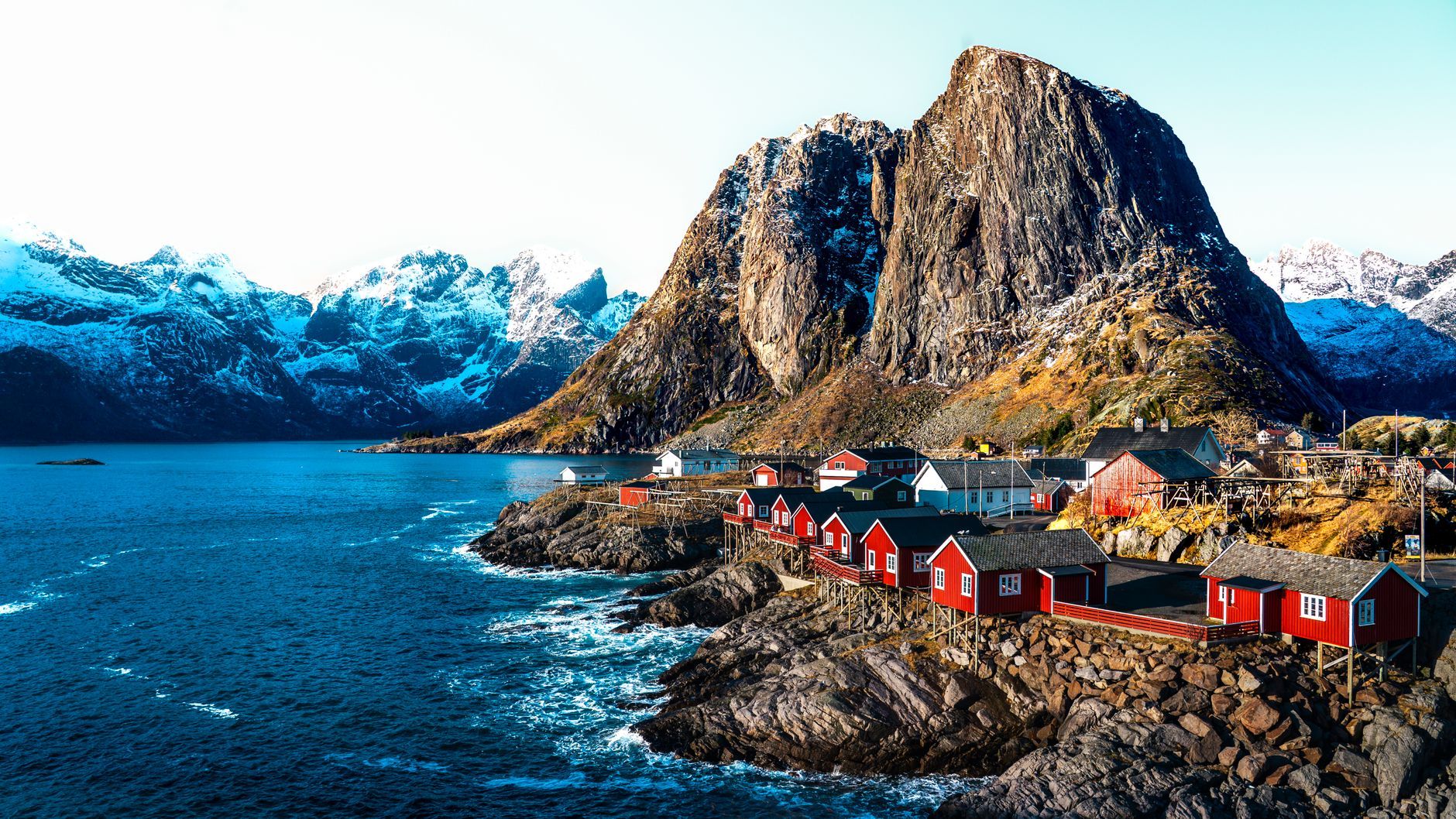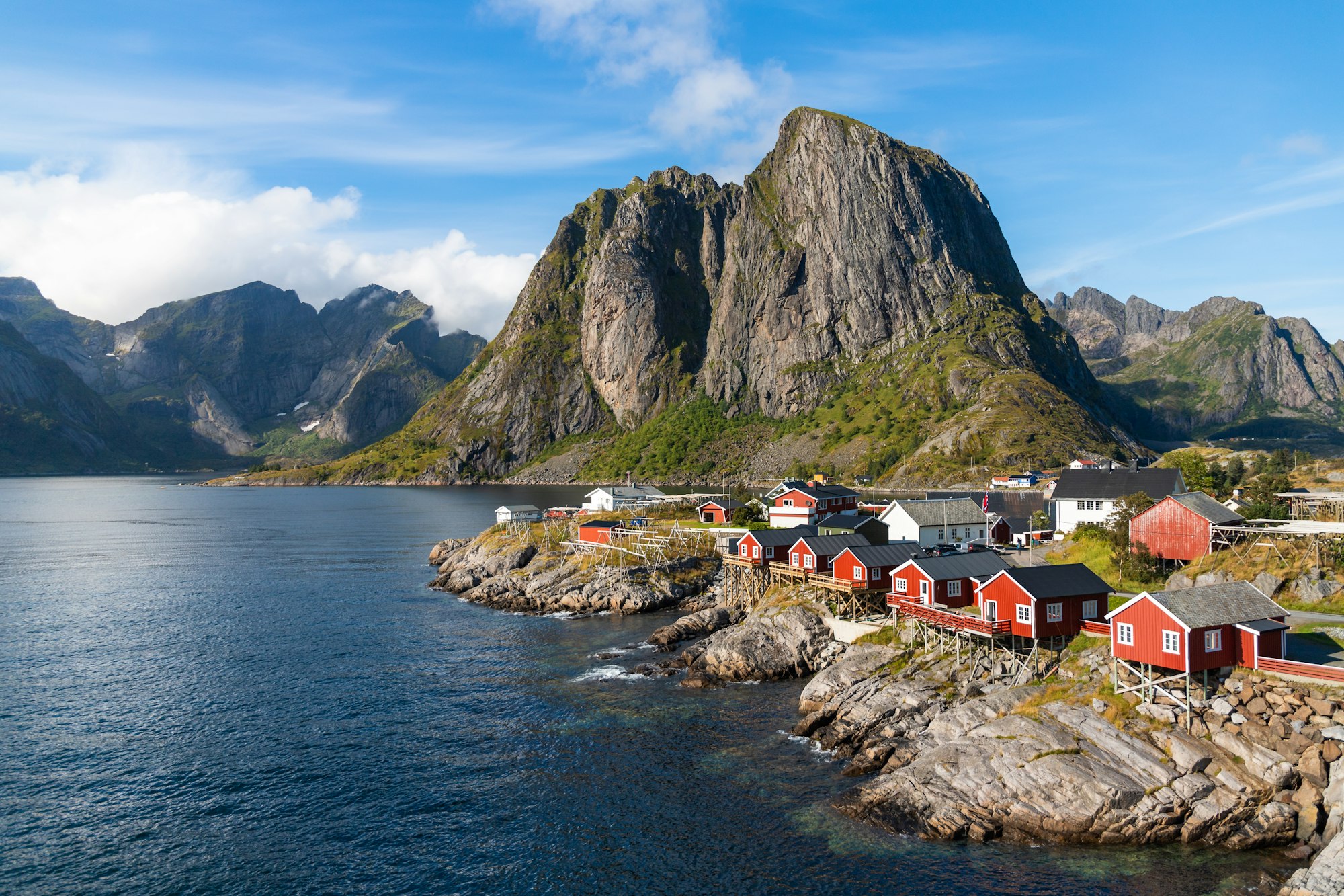
The fishing village that supplies most photographs of Lofoten, red cabins scattered over low islands in a bay ringed by black spires. It has been a trading port since 1743, and the road bridges through Hamnøy and Sakrisøy just north of it are viewpoints in their own right.
The village itself takes half an hour on foot; the view everyone comes for is from the Hamnøy bridge just north on the E10, and it holds up best in the long evening light.
Reine, near the southern end of the drive, is where the walking starts. The view the whole road keeps promising has to be earned on foot, up the Sherpa stairs cut into the flank of Reinebringen: close to two thousand stone steps that gain four hundred and fifty metres more or less straight up, and in high summer they are less a trail than a slow queue. The stairs keep a season, roughly late May into September, and close for rockfall repairs without much notice, so check locally before building a day around them. Climb them in rain, near the back of a line of strangers, and the top still hands over the archipelago whole, every island and channel of it, for about as long as the weather here hands over anything. Then it closes.
A 448 metre peak above Reine reached by a stone staircase of roughly 1,978 steps, cut into the mountainside by Nepalese Sherpa crews and fin
A museum in a former fish landing house at Å that follows the skrei from the boat to the drying racks to the Italian market, through the gra
An open-air museum at Å, the village at the end of the E10, made from more than a dozen protected buildings of a working fishing station: th
Every other travel app asks you to start logging. Meridian Dispatch opens with years of your travel already written, from the photographs you already took.