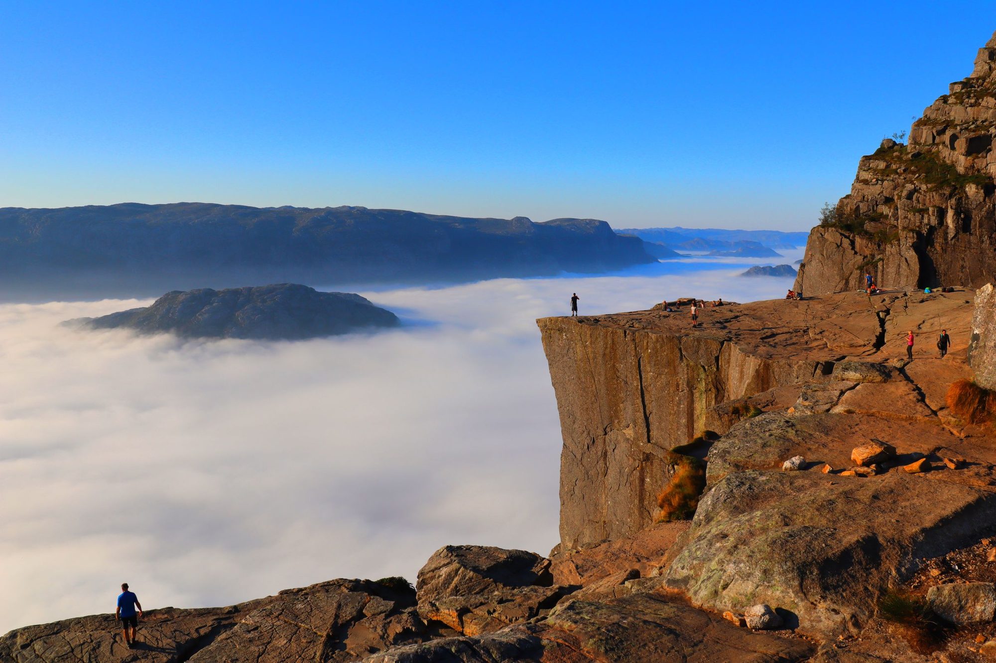
4.1 km from the car park to the rock
Walk out onto a flat shelf of rock with the Lysefjord straight below you and the fjord running away in both directions. It is one of Norway's most popular mountain walks, and a fit walker reaches that view in a morning from the car park.
Route from OpenStreetMap, along the signposted trail. Heights are from a terrain model, so the chart shows the shape of the climb rather than exact heights.
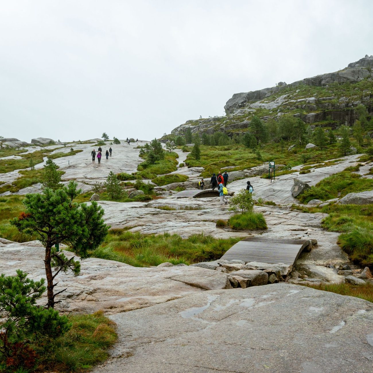
The first half is forest, marsh and laid stone, with two of the three steep climbs and little view. The better walking comes later, over bare rock, before the path runs along the cliff tops to the plateau.
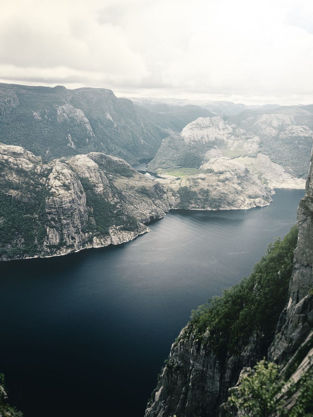
On a busy day, expect to wait your turn for the photograph at the edge. The wind on the open plateau is stronger and colder than at the car park, so carry a windproof layer even on a calm day. If fog rolls in, wait a while, because it often clears quickly.
For the plateau almost to yourself, walk up in the dark for sunrise with a head torch, allowing two hours for the climb; reflective posts mark the route.
A moderate mountain walk on uneven ground: stone steps laid by Nepalese Sherpas, rocky paths, forest and boardwalk over marshy ground, with three steep climbs. The steps are hard on the knees on the way down. Part of the trail runs alongside high cliffs, so keep children close there.
The path climbs in three steep pitches: straight after the car park, again past the first kilometre, and up to the Neverdalsskaret saddle at about 2 km. After the saddle it is gentler, over bare rock and then along the cliff tops.
Two more of Norway's big rock walks, then the city
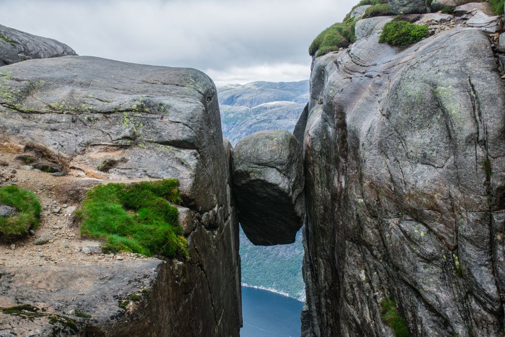
A boulder wedged in a crevice a thousand metres above the same fjord, on a harder walk with chained sections.
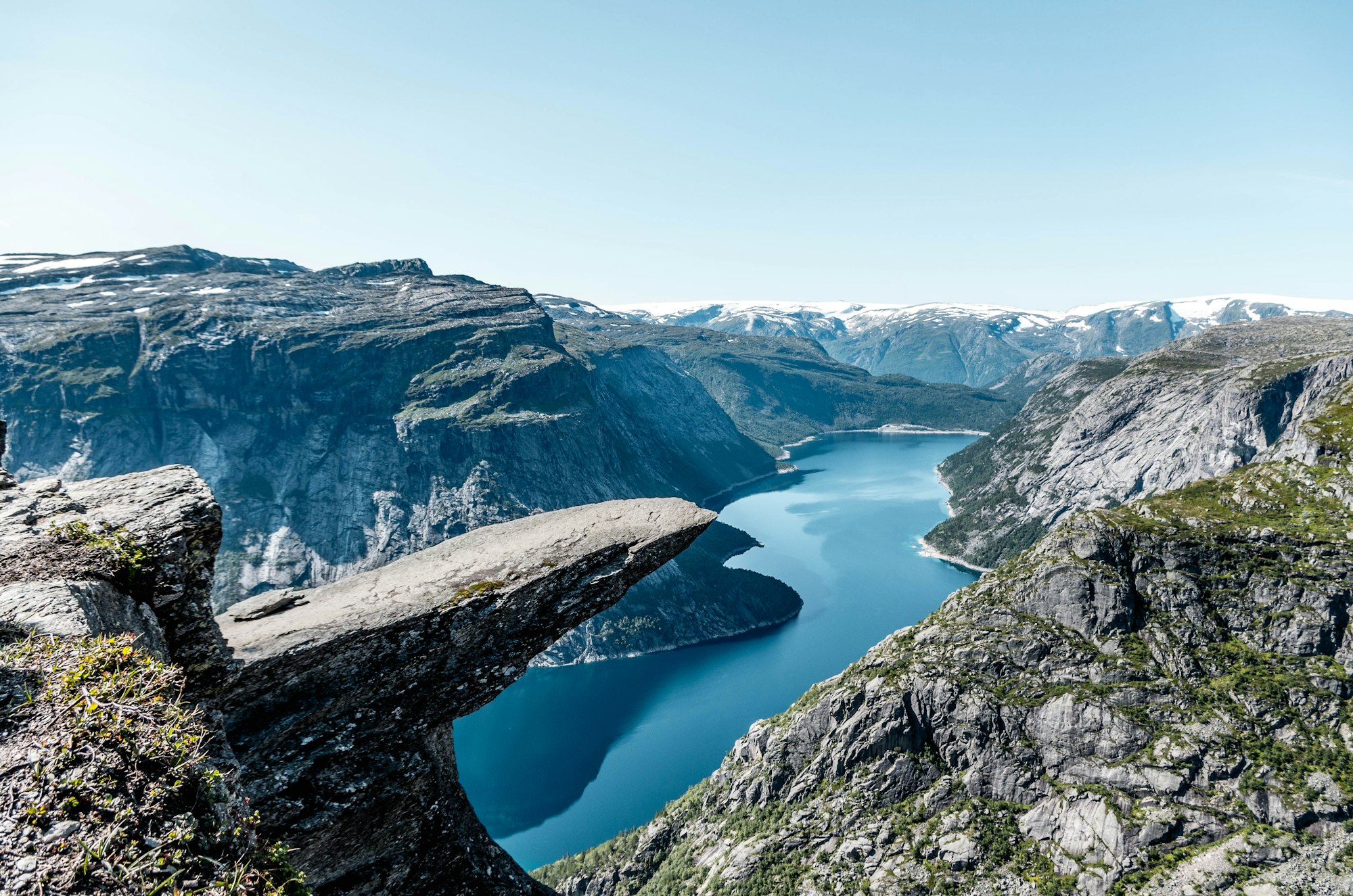
A shelf of rock jutting out over Ringedalsvatnet, at the end of a 27 km return walk, a ten to twelve hour day.
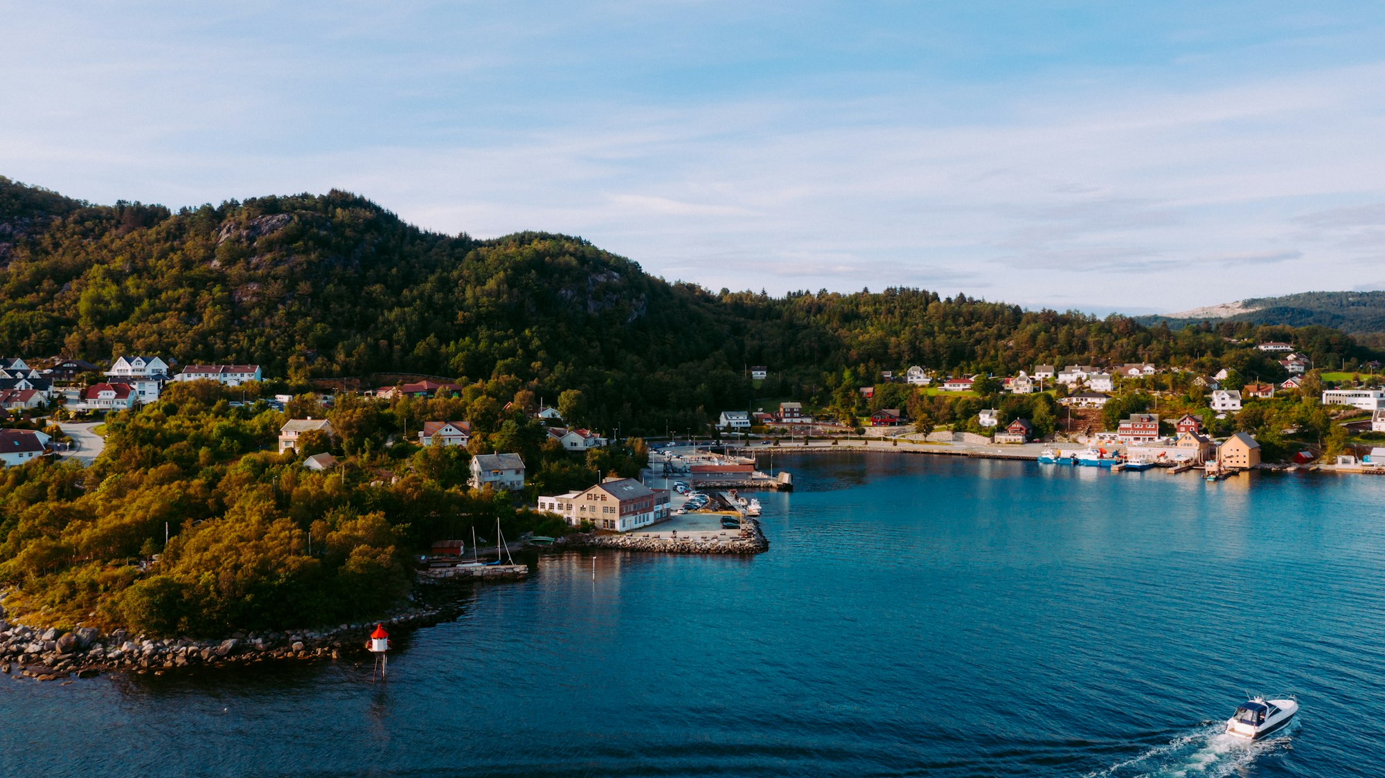
The city the bus leaves from, with its white timber old town on the harbour.