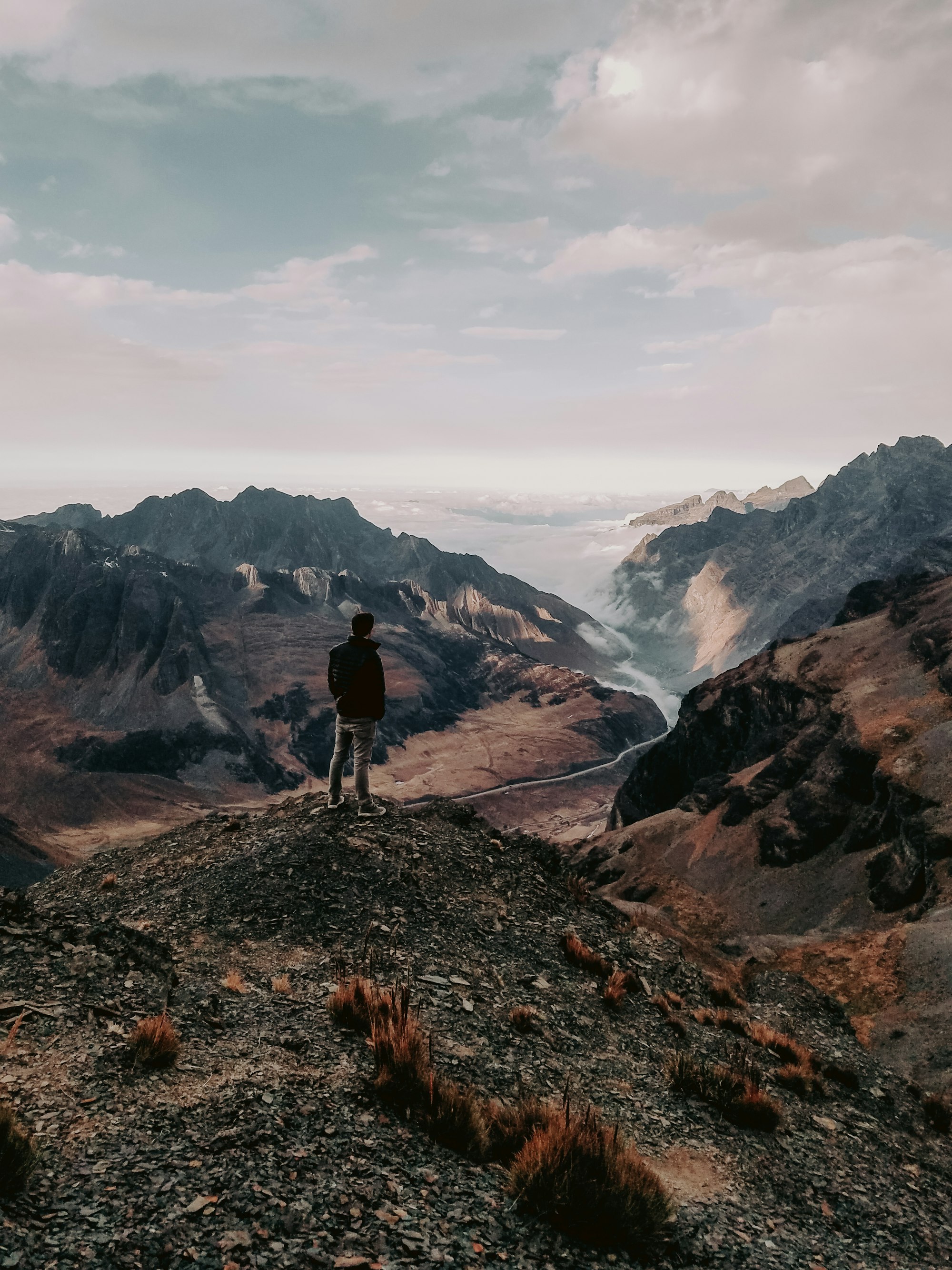
From the Andes down to the Yungas
From frost on an Andean pass to warm, humid forest by lunch: few days in South America change the world around you this fast. Here you do it on a bike, along a cliff ledge the lorries have largely left behind.
The line is the old Yungas road as mapped on OpenStreetMap, from the pass at La Cumbre down to Yolosa, and the Google Maps links run through points taken from it. Distances are measured along it from La Cumbre.
Two roads leave La Cumbre for the Yungas valleys. The new highway carries the lorries and buses, and the old one is a gravel ledge about three metres wide in places, with no barrier on the drop. Since the bypass opened in 2006, the old road has been left mostly to bikes.
On the gravel you keep left, on the cliff side, because this is the one road in Bolivia where traffic drives on the left. The rule lets a driver heading down see the edge from the driver's seat. Waterfalls run across the track in places, and the loose stones turn slick in the wet.
Nearly all visitors ride it on a guided day from La Paz. A van takes you up to the start, follows the group down and carries you through any stretch you would rather not ride. Expect four to six hours on the bike with stops, mostly on the brakes rather than the pedals, then lunch and a shower at the bottom.
The first 31 kilometres are asphalt on the new highway, a fast warm-up shared with lorries. Past Unduavi the road stops dropping, and many groups load the bikes onto the van for that stretch. The gravel starts where the old road turns off the highway.
The tour you pick matters more than your fitness. Ask whether the brakes are hydraulic and when the pads were last changed, whether two guides and a van stay with the whole group, and whether the operator can show accident insurance in writing. Squeeze both brake levers before you set off, and ask for another bike if either one reaches the handlebar.
Come between May and October, the dry season, for firmer gravel and clearer views. From November to March the road is wet, cloud cuts the view and landslides close it more often, so keep a spare day in your plans.
Around La Paz, the base for the ride
Where every tour starts and ends, and the city to acclimatise in before you ride.
A road up to an old ski lodge with views over the Cordillera Real, another high day out of La Paz.
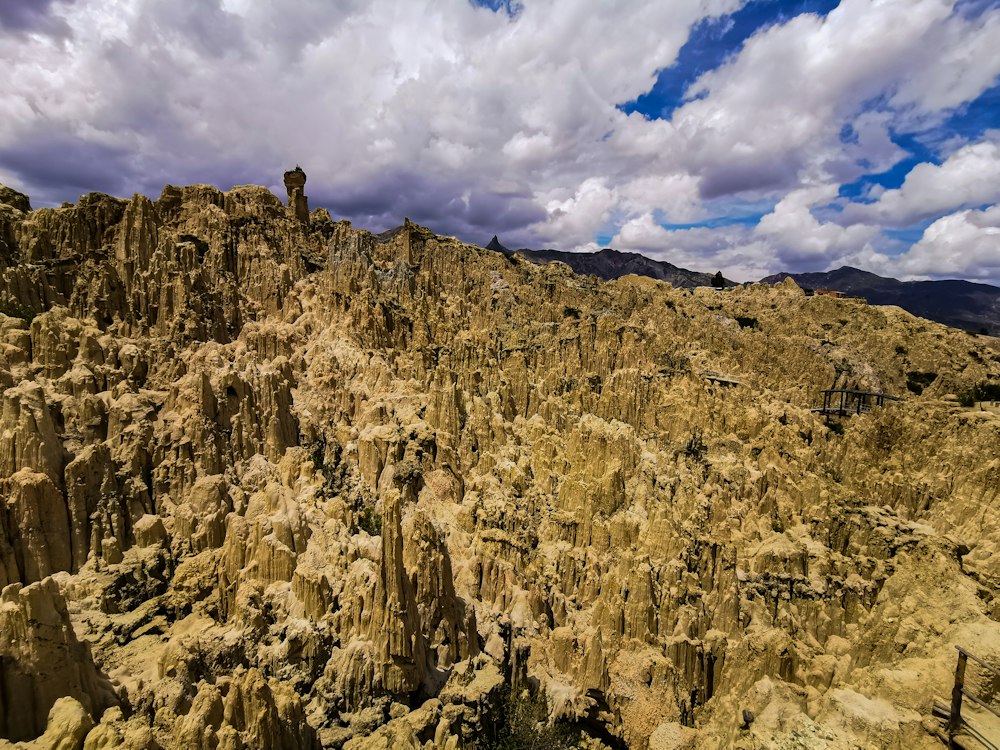
Clay hills eroded into spines and hollows, for a short walk on a rest day.
Last updated