Ninety seconds on Mont-Saint-Michel Bridge
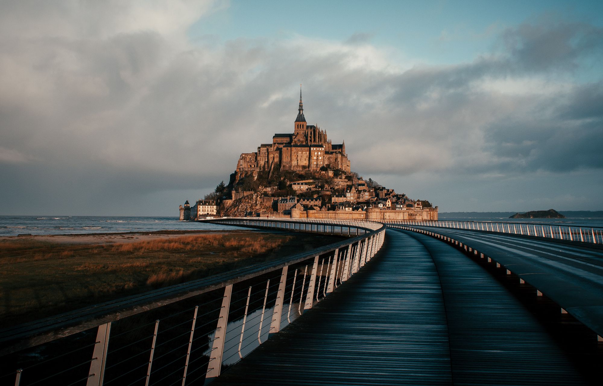
760 metres of walkway on stilts cross the bay to Mont-Saint-Michel, and at high water it can feel as if you are walking on the sea. Walk it at least one way rather than riding the shuttle both ways.
The walkway curves as it crosses the bay, and it stands on open piles instead of a bank of earth. At high water you can look down and see the tide running underneath it and on round the rock. Because the water passes through the piles, the crossing stays open on all but the very highest tides of the year.
It replaced an old causeway, and since the bridge went in, the Mont looks like an island again during certain high tides.
Most days the sea is far out and the piles cross open sand. Water under the walkway comes only with the bigger tides, so check the tide calendar before you travel and plan your crossing around high water.
Le Passeur, the free shuttle, leaves the car park and the dam about every 15 minutes and reaches the Mont in about 12. Walking from the car park takes 40 to 50 minutes, with the bridge as the final stretch. Because the shuttle also stops at the dam, you can ride part of the way and walk the rest.
Split it if you can: walk out in the morning with the abbey ahead of you, then ride the shuttle back when your legs are done.
At the far end the bridge meets the esplanade in front of the entrance to the Mont.
Cycling over the bridge is allowed, but sharing it with walkers and the shuttles is uncomfortable, so ride outside the busy middle of the day. Dogs ride Le Passeur only if they are guide or assistance dogs, or small dogs carried in a bag or basket, so plan to walk with a bigger dog.
Parking is charged per 24 hours, so leaving a few minutes late can add a further day. Keep to the walkway: the sands either side are said to hide quicksand, so cross them only with a local guide.
Explore the rest of Mont-Saint-Michel
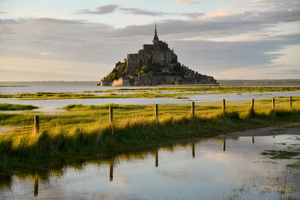
A granite islet crowned by an abbey rises from a tidal bay on the Normandy and Brittany border, joined to the mainland by a causeway…
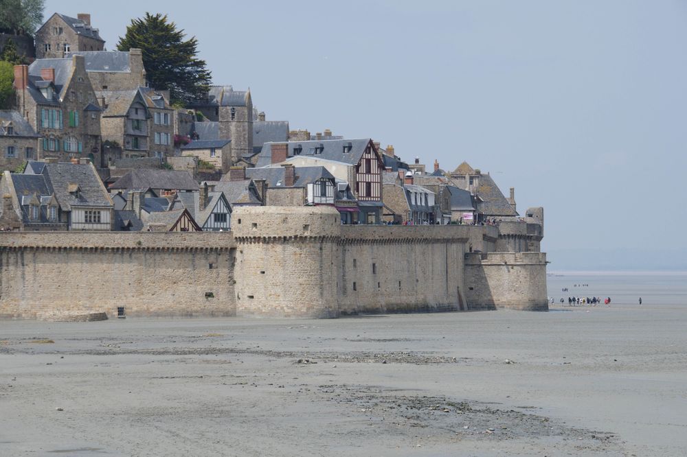
Fortified walls and seven towers ring the base of the island, built to keep English forces out, and a walkway open to visitors links them.…
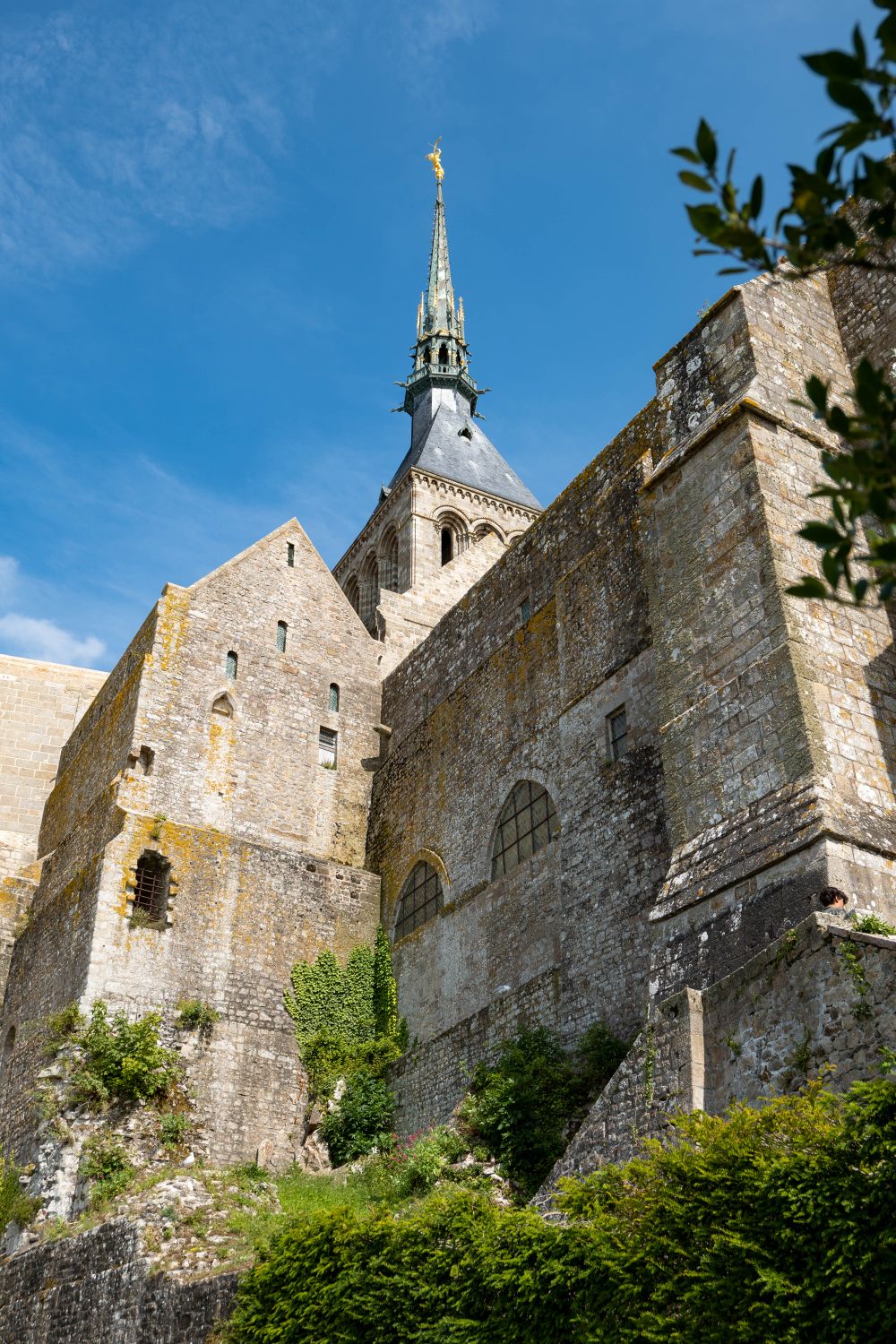
Benedictine monks built upward on the rock from the tenth century, stacking a Romanesque church over crypts and adding the Gothic cloister…