 Submit a photo
Ninety seconds on Lough Tay
Drive up to Lough Tay for the view that gave it the name Guinness Lake: black, peat-stained water with a pale beach at its head, under Luggala's granite cliffs.
The lake lies in a hollow between two mountains, Djouce at 725 metres and Luggala at 595 metres. The bare rock wall behind the water is Luggala's east-facing granite cliff. Green hills roll up around it, and the contrast with the dark water can make the whole scene look unreal.
One claim holds that the Guinness family imported white sand and laid it on the northern shore so the lake would look like a pint of stout. The same northern shore, by the beach, was the set of Kattegat, the fictional village in the television drama Vikings. The view from the road is as close as you get to either.
Two viewpoints on the R759 give you the lake. The first is a small roadside layby with parking for 8 to 10 cars, where you pull in and look straight down into the valley.
For the second, park at the JB Malone car park and walk up the first boardwalked stretch of the Djouce path to the JB Malone memorial stone on the Wicklow Way. It gives the higher view of the whole lake. If both car parks are full, Ballinastoe Wood car park is on the same road.
Neither point leads to the beach or the shore. If you have two or three hours, walk on up the Wicklow Way toward Djouce; walks there run to a moderate 8 to 10 km round trip.
Drive the R759 slowly. It is narrow, and you share it with a steady flow of cyclists as well as other cars pulling in for the view.
A dusting of snow on the surrounding peaks makes the photograph, so go once the road itself is clear. Save swimming for elsewhere: the lake is deep and cold.
Explore the rest of Glendalough
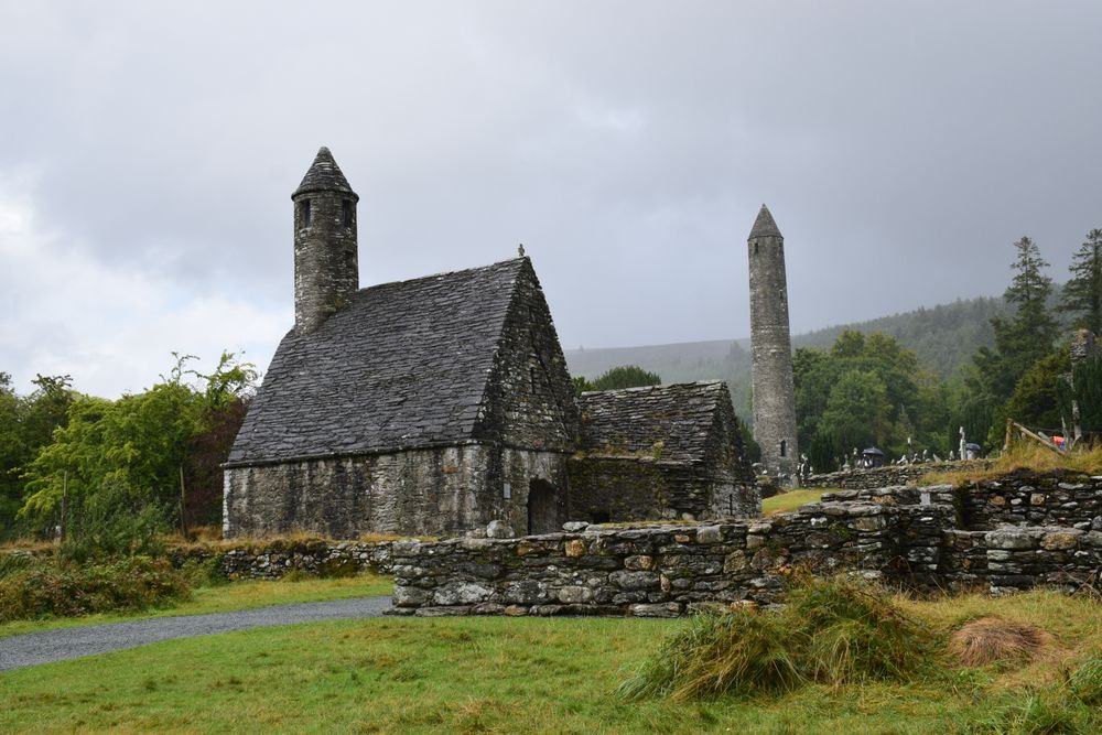
The monastic city Saint Kevin founded, with a round tower, a stone gatehouse and the stone-roofed oratory known as Saint Kevin's Kitchen.…
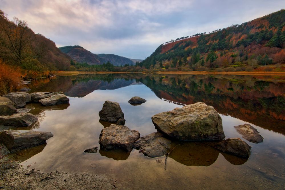
A lake at the monastic end of the Glendalough valley, beside St Kevin's monastic city. The waymarked Green Road loops round it on woodland…
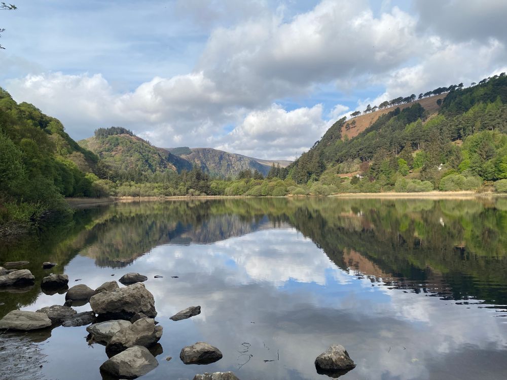
The Upper Lake lies at the head of Glendalough's glaciated valley, with signposted trails along its shore and St Kevin's Bed, a small…
Last updated