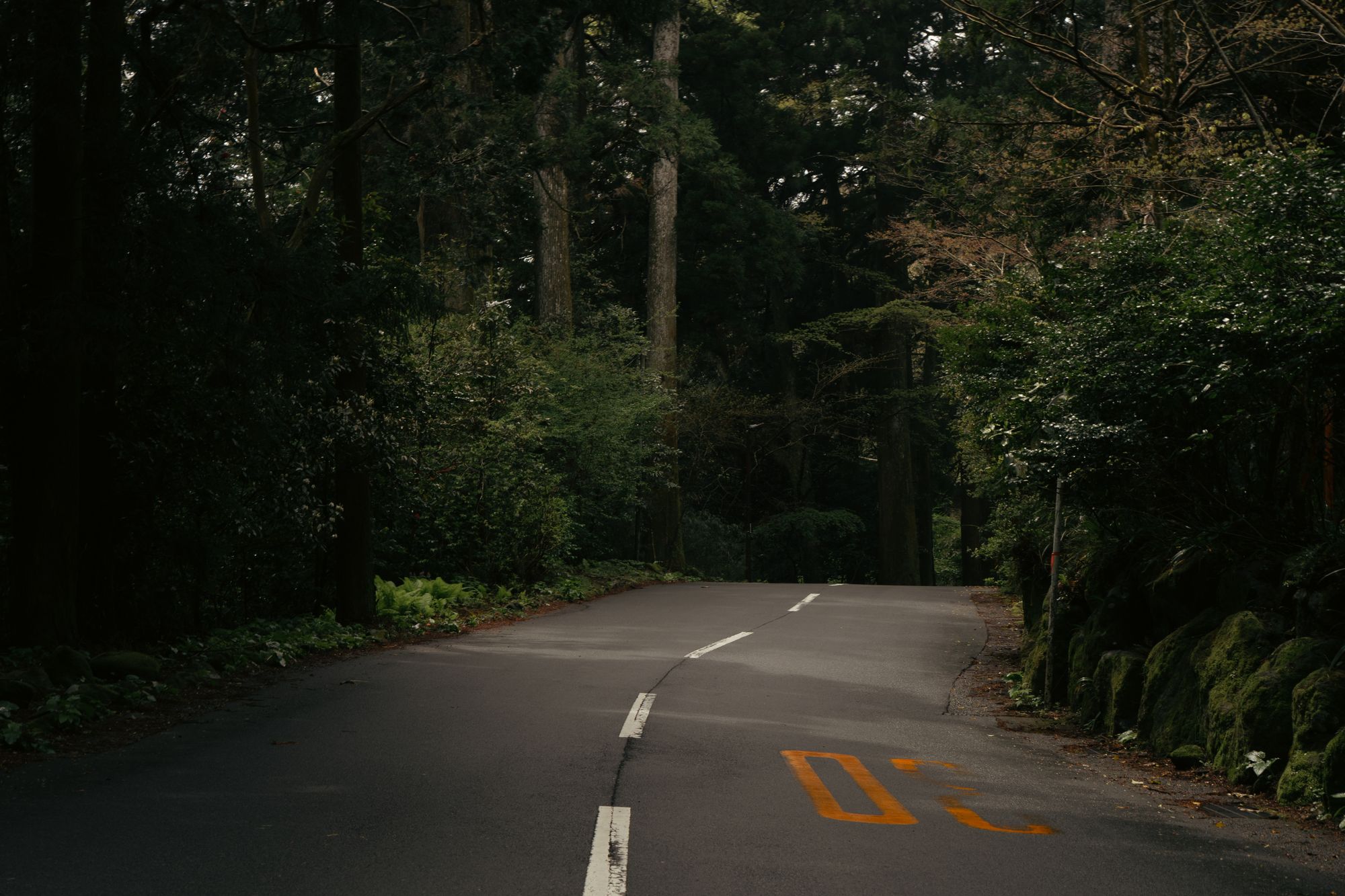
Ninety seconds on Old Hakone Highway
Walking the stone Tokaido down from Lake Ashi, you tread Edo-era cobbles under giant cedars and stop halfway for amazake, a sweet rice drink, in a teahouse beside the road.
Look down as you walk. The rounded stones are the ishidatami, paving laid in the early Edo period to give a surer grip on the wet mountain slope, and much of it is original. The best-preserved run lies between Amazake-chaya and Lake Ashi.
Giant Japanese cedars line the upper stretch, planted to shelter travellers from rain, sun and wind. Their cover still keeps the worst of a wet day off you.
Amazake-chaya, about halfway down, is still run by one family. Benches line a low open-hearth room, and the short menu has barely changed. The amazake is a sweet rice drink with no alcohol and no sugar, served with mochi made by hand each morning.
Hatajuku, at the lower end, is the home of yosegi-zaiku woodcraft. Some of its shops still have craftsmen demonstrating the work.
Best walked downhill. The stone road starts at Moto-Hakone on Lake Ashi and ends in the village of Hatajuku; walked uphill, it finishes on the steepest slope of the Hakone Pass. Signs in Japanese and English mark the route.
Stop at Amazake-chaya on the way down. The staff speak little English, but a picture menu lets you point at what you want. Sit on the benches, or take your shoes off in the tatami room, and give the stop ten minutes or so.
Below the teahouse the paving carries on through the trees to Hatajuku. From there, Bus K runs back down to Hakone-Yumoto.
After rain, the mossy stones in the shade are the hazard, so you want boots with real tread, not trainers. If you find the paving wet, ride the bus past it.
Want the whole road from Hakone-Yumoto? The first 5 km share a narrow road with cars, so start at Hatajuku instead. Buses stop all along the route if you tire.
Explore the rest of Hakone
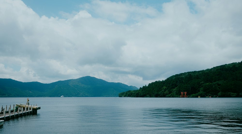
A former imperial summer palace site on Lake Ashi at Moto-Hakone, now a free public park. Paths wind through a Japanese garden to the…
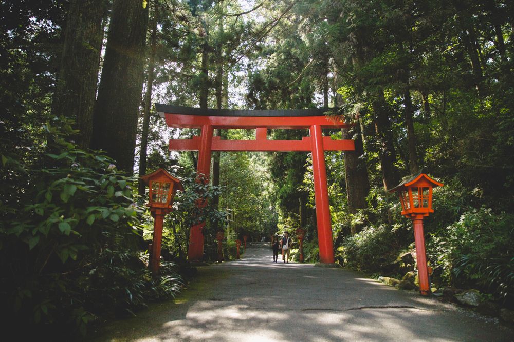
A shrine in old cedar forest on the shore of Lake Ashi at Moto-Hakone, where stone steps climb to the main prayer hall. Its red Torii of…
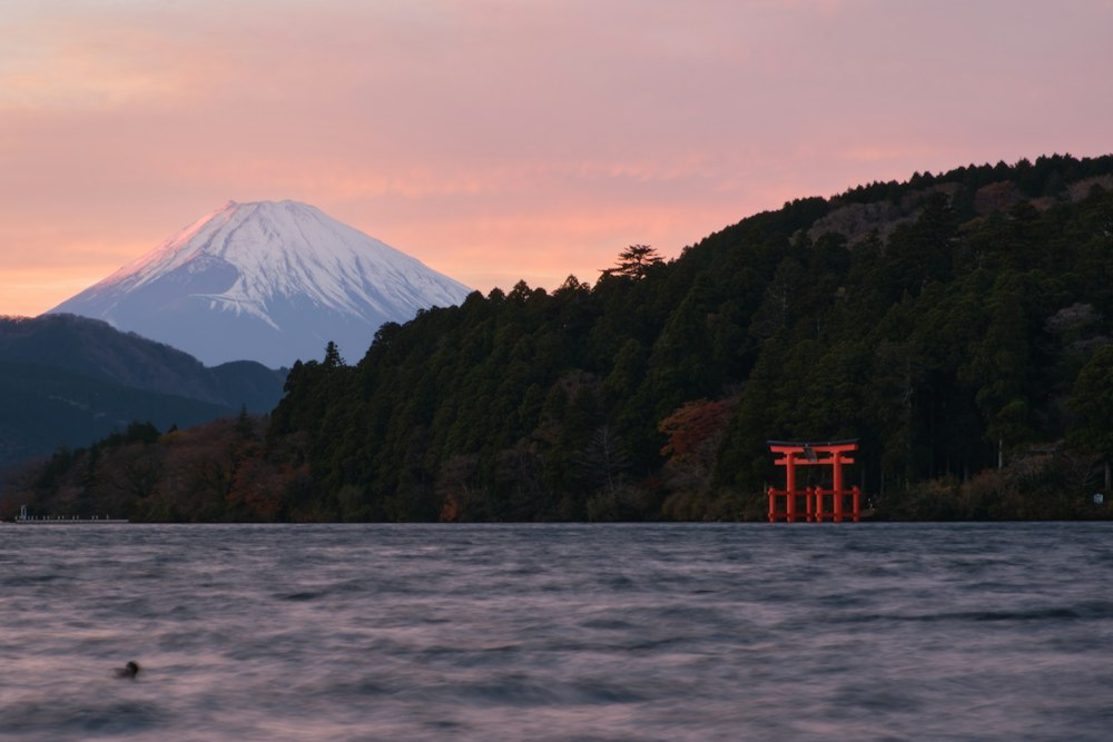
The lakeside village at the southern end of Lake Ashi, beside the Hakone-machi boat pier, where the rebuilt Hakone checkpoint stands on the…