Ninety seconds on Śnieżka
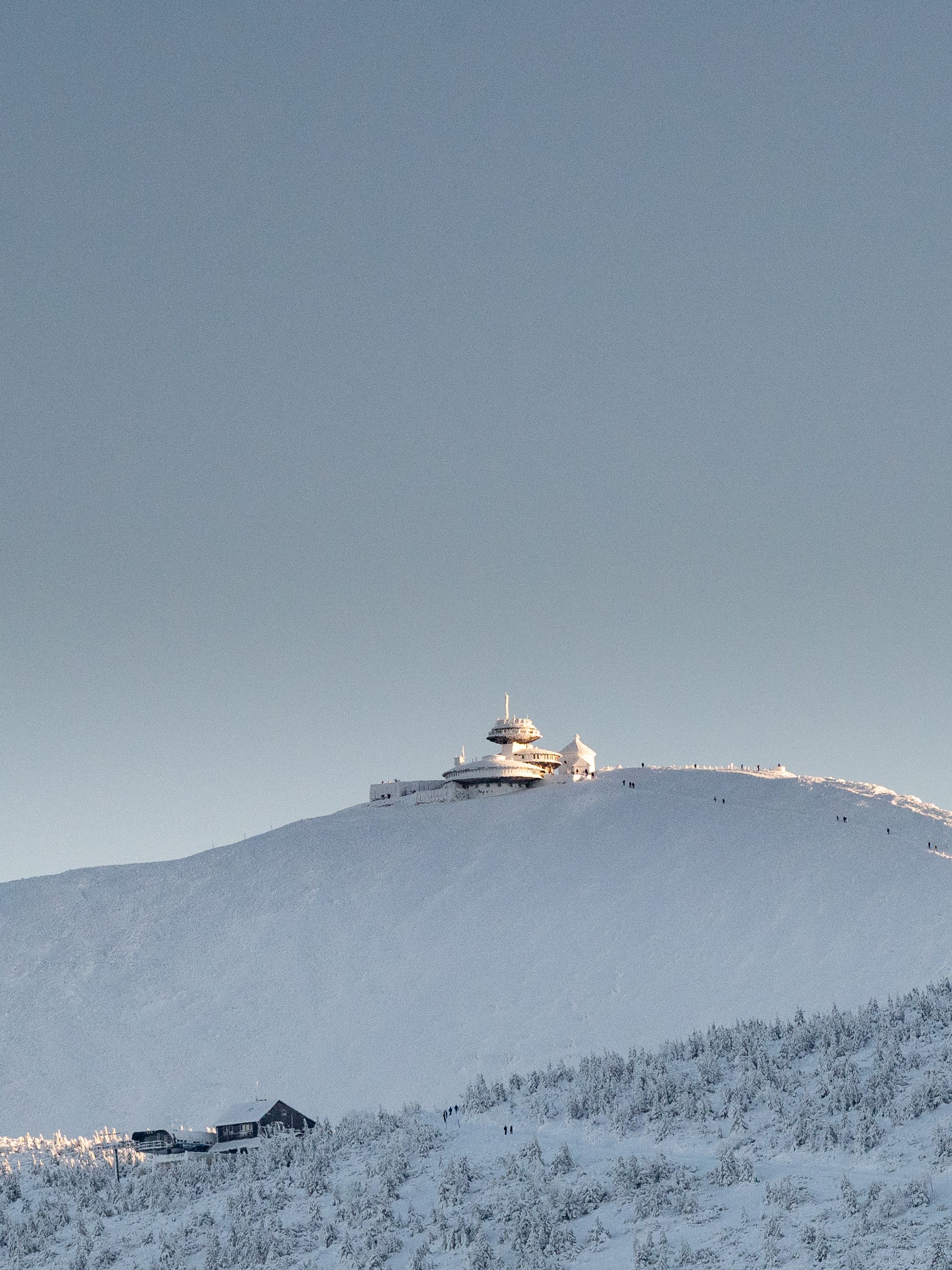
Start early and you stand on the highest point of the Sudetes, on the Polish-Czech border, where a modernist weather station shares the summit with a small chapel.
Śnieżka stands at 1,603 m. The other Karkonosze tops are rounded humps, while this one rises as a sharp cone with the profile of an extinct volcano.
The observatory on top is built as three stacked discs. The widest faces north, and one disc has a gallery running round it and a measuring terrace on its roof.
Observations in the building began in 1975, and its modernist lines drew criticism for ignoring mountain and Sudeten architecture. The same building has been a listed historic monument since 2020.
The rest of the summit is small enough to take in at once: the St Lawrence chapel, the old post office building with its viewing terrace, and the observatory's weather garden of instruments. On a clear day you can pick out the hill of Ślęża across the lowlands.
Riding the Zbyszek chairlift is a short lift from Karpacz to the top of Kopa. From the top station the summit is about an hour's walk, and the Dom Śląski hut stands roughly halfway along it. The ground around Kopa is a strict nature reserve, so keep to the marked trail.
Walking the whole way is the alternative. The park's education trail starts at the park entrance beside the lift's lower station and follows the black markers past Biały Jar to Kopa, and its first stretch is paved and easy. The route is steep, hard going with a heavy pack or in rain, and takes three to three and a half hours of walking without stops.
A red trail from the car park by the Orlinek hotel is harder still. Allow about five hours if you ride the lift one way and walk the other; walking both ways takes most of a day.
Pack for a different climate from the town. The summit's average temperature across the year is below zero, so a warm, sunny morning in Karpacz can mean single figures, fog and hard wind at the top. Carry layers, rain gear and plenty of water, and wear proper boots, since the upper path turns slippery.
In winter the park closes avalanche-prone trails for several months, among them the Droga Jubileuszowa, the longer way up, and the red route through Kocioł Łomniczki. In any season, if strong wind or storms are forecast, save the summit for another day.
Explore the rest of Karpacz
Śnieżka's bare dome rises straight above this resort, the highest point of the Karkonosze range on the Czech border. Hotels, pensions and…
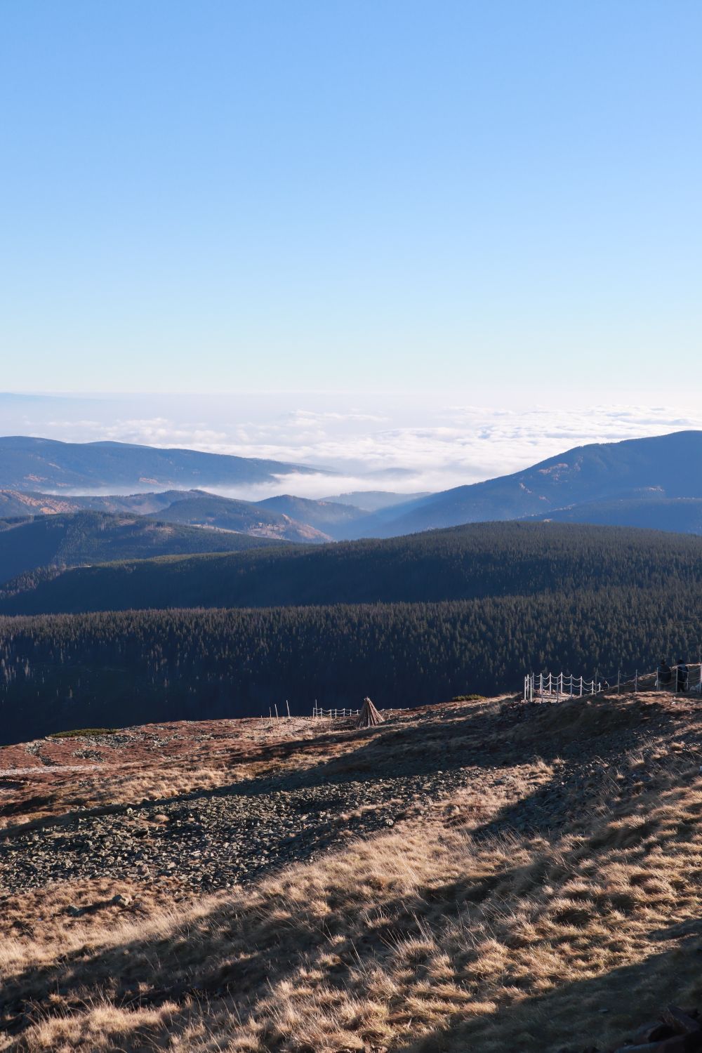
Karkonosze National Park covers the highest part of the Sudetes on the Polish side, with glacial cirques, dwarf pine and mountain huts.…
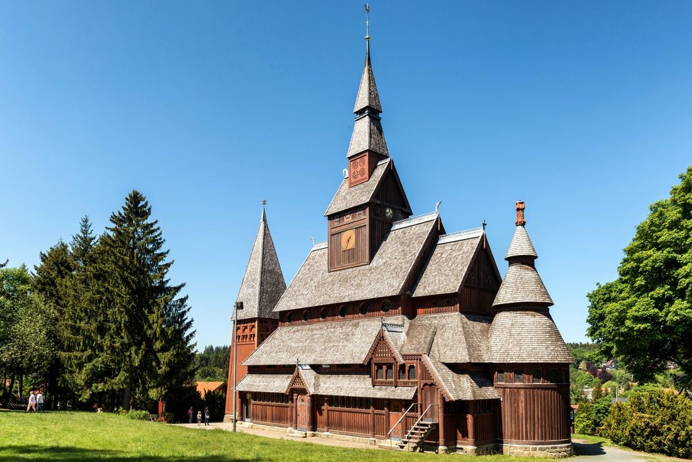
A twelfth-century wooden church from Norway, bought by the Prussian king and moved here in pieces in 1842. Its carved dragon heads and…