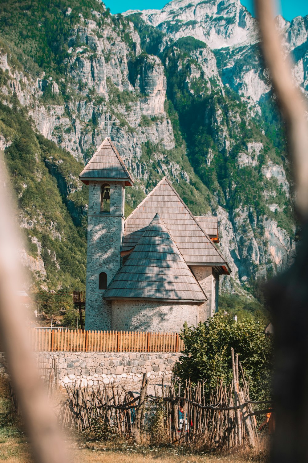
2.1 km from the church to the falls
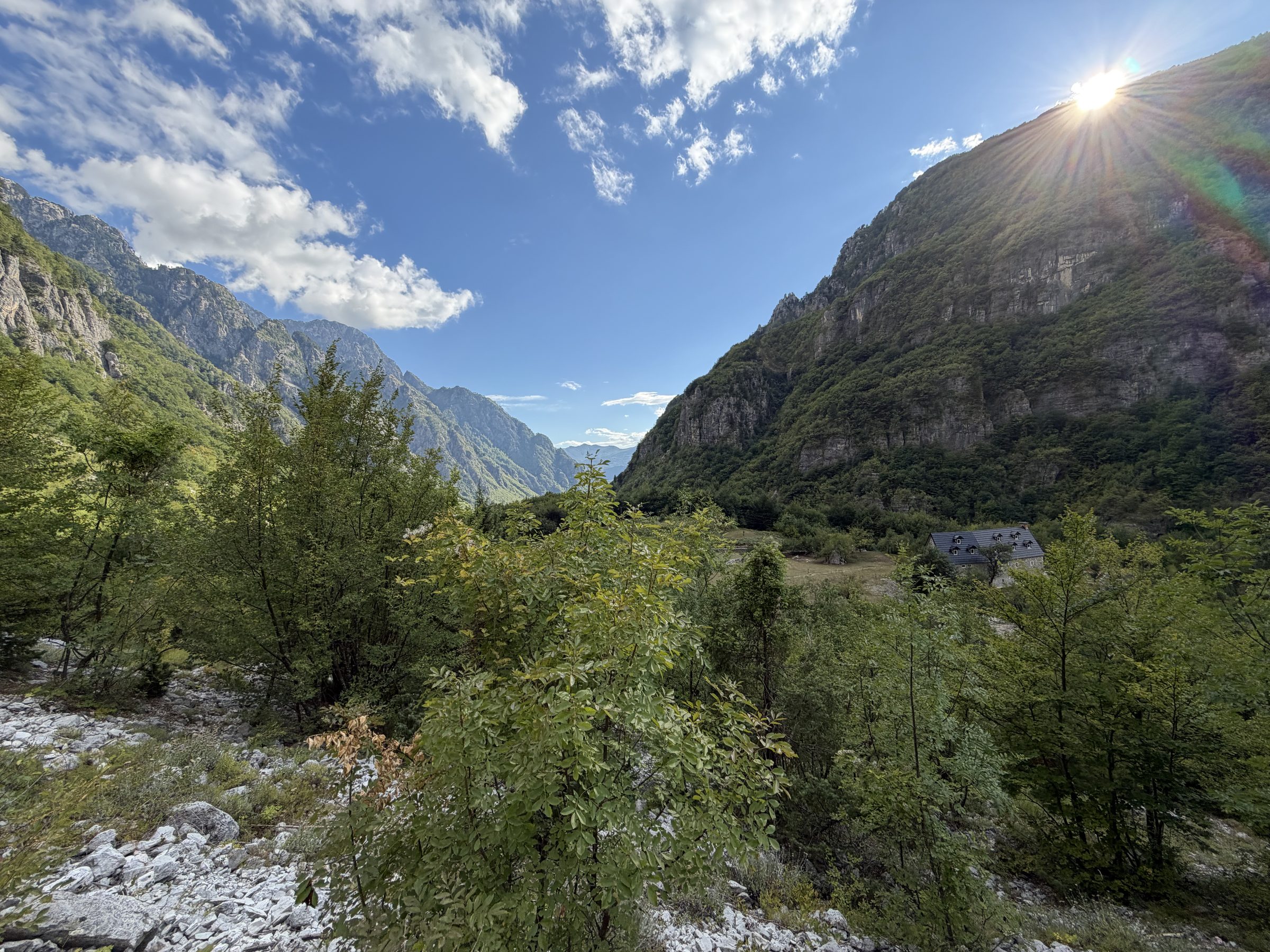
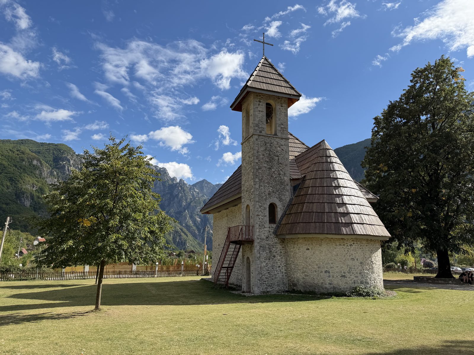
Leave the church in the morning and you reach the falls before the crowd does. It is under an hour across the valley floor and one steep scramble at the end, and then a cold plunge in a basin walled in by cliff.
Trail line from OpenStreetMap, routed over the mapped paths. Heights on the valley floor are from a 30 m terrain model; in the gorge the model reads the cliff walls, so the shaded last stretch uses GPS heights taken on the trail. Published figures for the climb run from 140 to 200 m.
The falls drop out of a narrow gorge into a basin ringed by cliff, close enough to stand in the spray. Snowmelt from the peaks above feeds them, which is why the walking season runs from the end of May to the start of October.
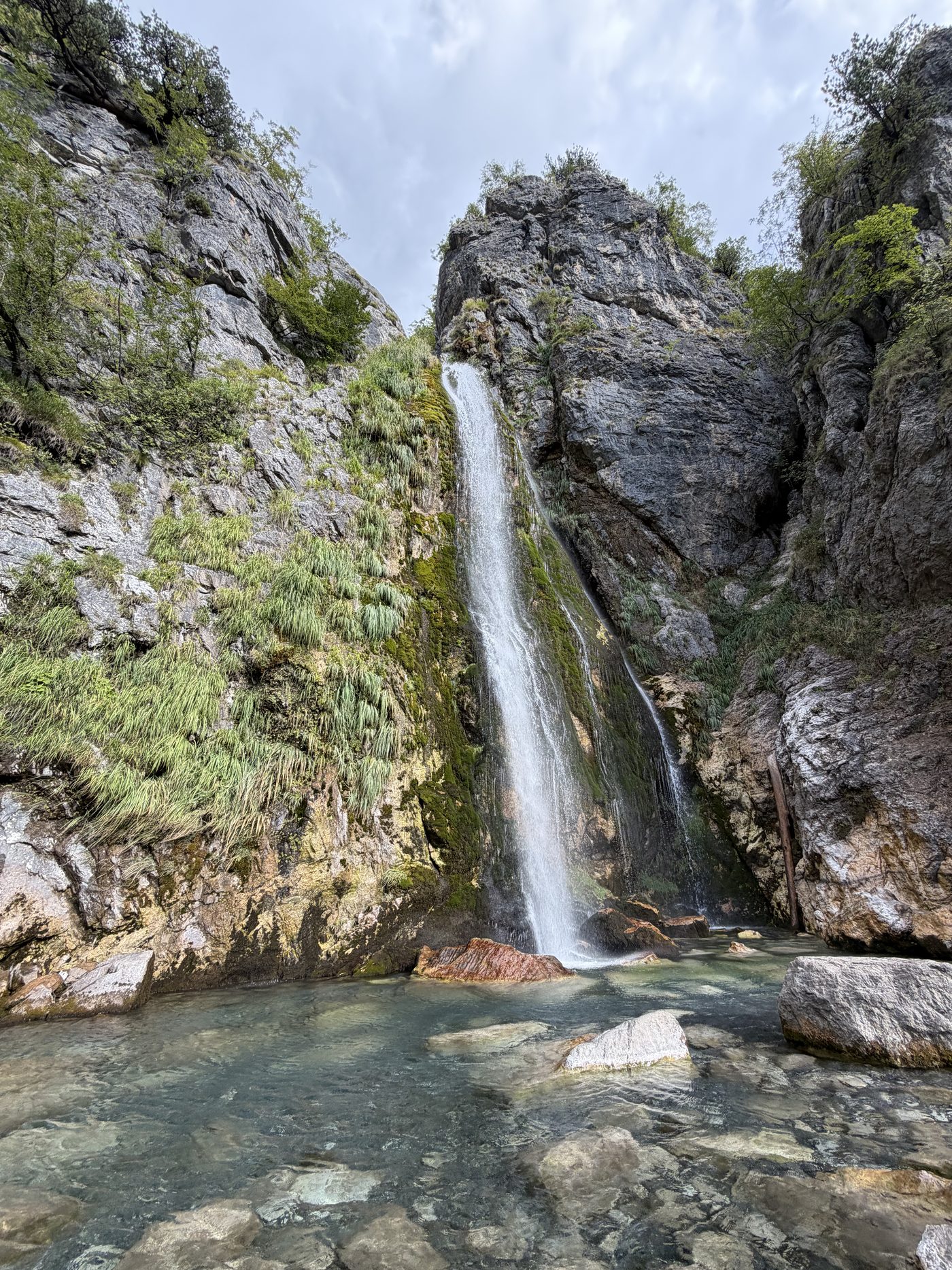
The pool is cold, shallow and full of large rocks. You can plunge or float, but you cannot really swim, so bring a towel rather than a plan.
The walk there is the easy part. It leaves from the church, crosses the river by a footbridge or stepping stones, passes a café, and only climbs at the very end. It is also the first leg of the longer walk south to the Blue Eye, so the path is well trodden and hard to lose.
A well-formed gravel track and earth path for most of the way. The last 250 m is the steep part, on rocks and rubble, and it is slippery when wet. Red and white paint marks on the rocks show the line. Wear hiking shoes rather than sandals for the gorge.
The next walks up from here, then the village
South past Grunas to a turquoise spring pool, about three hours each way from the south end of the village.
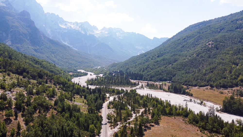
Over the ridge to the next valley, 6 to 8 hours and 1,100 m of climbing. Plan the way back before you start.
Small and quick, right by the church, and the clearest explanation of the Kanun in the valley.