Globe Countries Cities Itineraries World's Best Hotels Events Login
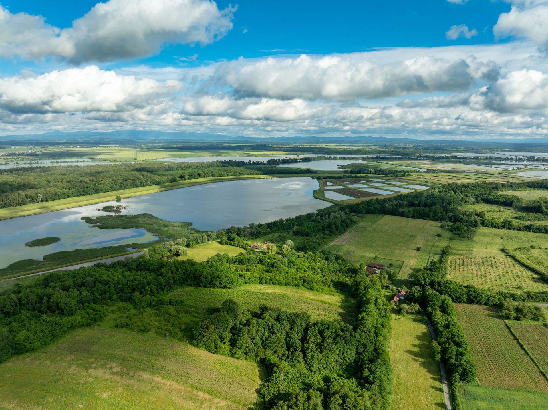
An aerial view of a shallow karst lake spreading into a patchwork of fields in Slovenia
Slovenia  ·  45.78°N 14.37°E

The Lake That Isn't Always There

Written by Meridian Dispatch  ·  20 June 2026  ·  Updated

Lake Cerknica is the largest lake in Slovenia for part of the year. For the rest of it, it is a field.


The fish know first. As the water starts to fall they run for the western end of the valley, toward the sinkholes that are quietly draining the whole lake out from under them, and for a few weeks the people of Cerknica go out to meet them with nets. In the winter of 1714 the lake came back after seven dry years and the fish were so thick they were carried off by the cartload. A boat can be rowed across this valley in April, over several metres of cold spring water, and the same ground is walked in August with cut hay drying underfoot. Lake Cerknica is the largest lake in Slovenia for as long as it bothers to exist. Then, every year, it pours itself into the earth and leaves.

The machinery is underground. This is karst, limestone eaten hollow from the inside, and the valley floor is punched through with caves and swallow-holes the locals call požiralniki. Through the wet months water arrives far faster than the holes can swallow, and the basin fills. When the rain eases the balance reverses, and the lake drains in weeks, not down a river but straight down into the dark.
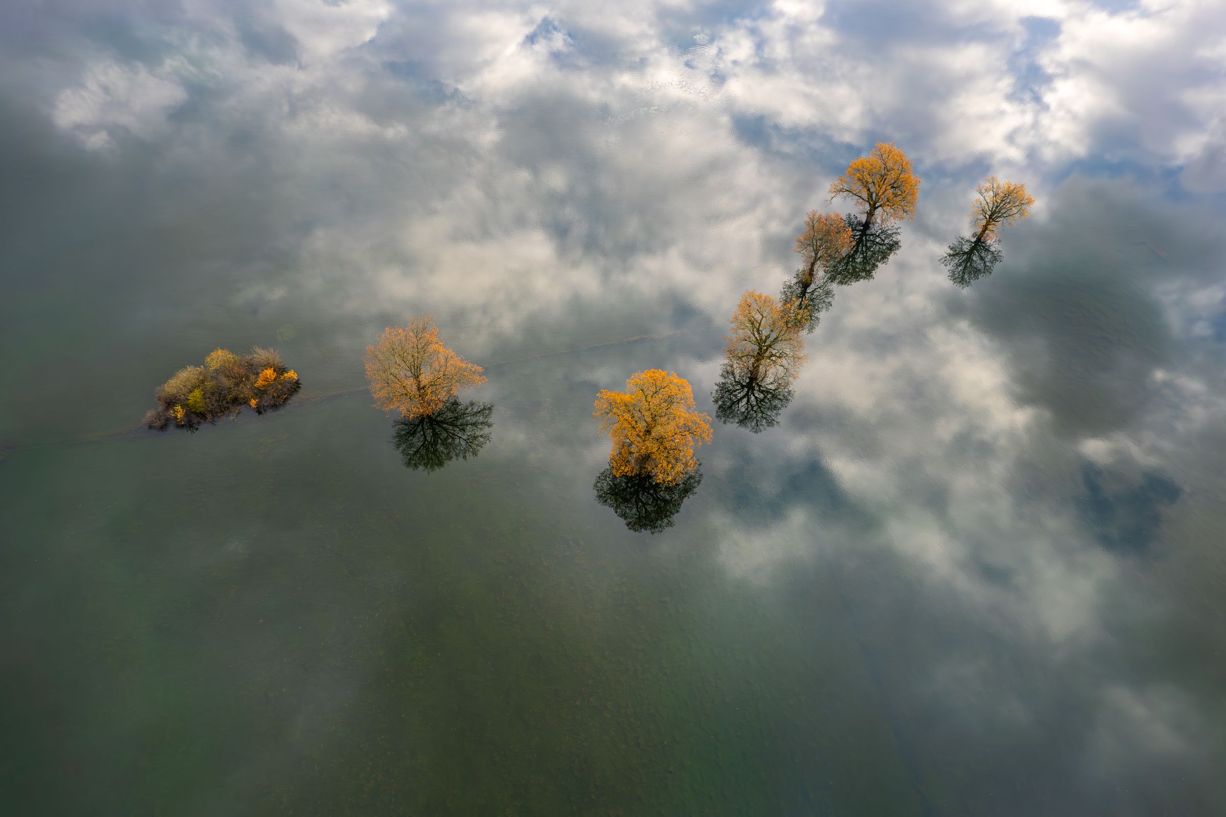
Bare autumn trees standing in still floodwater that reflects the cloudy sky, seen from above
When the springs win, the valley floor goes under

The fish do not all die when the lake leaves. Some ride the current down into the caves and wait in the cold and the dark until the water returns to lift them out, which is why certain caverns at the valley's edge were never fished: the lake kept its spawn down there. People have tried to explain this for centuries. The lake has been on maps since the fifteenth century, and in 1687 a Carniolan polymath, Janez Vajkard Valvasor, explained its springs and sinks to the Royal Society in London so convincingly that it elected him a fellow. The word for it all came from a different corner of Slovenia: karst is borrowed from the Kras, the bare limestone plateau over near Trieste, which lent its name to every landscape on earth that drains from the inside. Cerknica did not name the phenomenon. It is only the place that does it out loud, a whole lake where the Kras keeps a hidden stream.

Some of the fish ride the water down into the caves, and wait in the dark for the lake to come back.
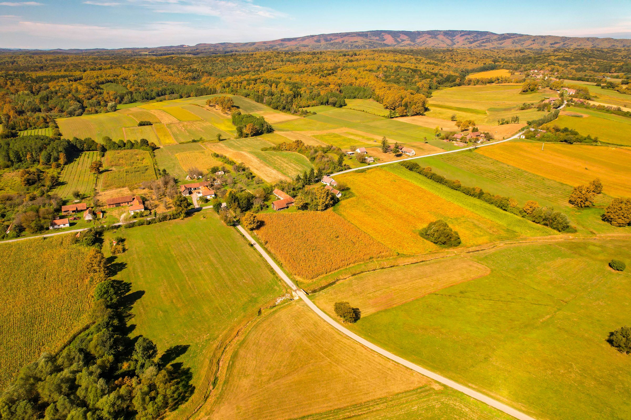
An aerial patchwork of cultivated fields and small villages on a flat karst plain in autumn
The dry months, when the lakebed is farmland again

The town that lends the lake its name sits just off the northern shore, a quiet Notranjska market town best known, when it is known at all, for a carnival of giant papier-mache witches and a lake that is frequently not there. The villages closer in wear it on their sleeve: Dolenje Jezero and Gorenje Jezero translate as Lower Lake and Upper Lake, optimistic or honest depending on the month. In Dolenje Jezero a small museum runs a working model that floods and drains the whole valley on a loop, a year of slow water run through in a few minutes. The basin is a regional park now, with electric shuttles out from the railway at Rakek on busy weekends, and twenty minutes west, at Rakov Skocjan, a collapsed cave roof has left a gorge spanned by two natural stone bridges. The lake is not an exception here. It is the largest and plainest version of what the whole region does.
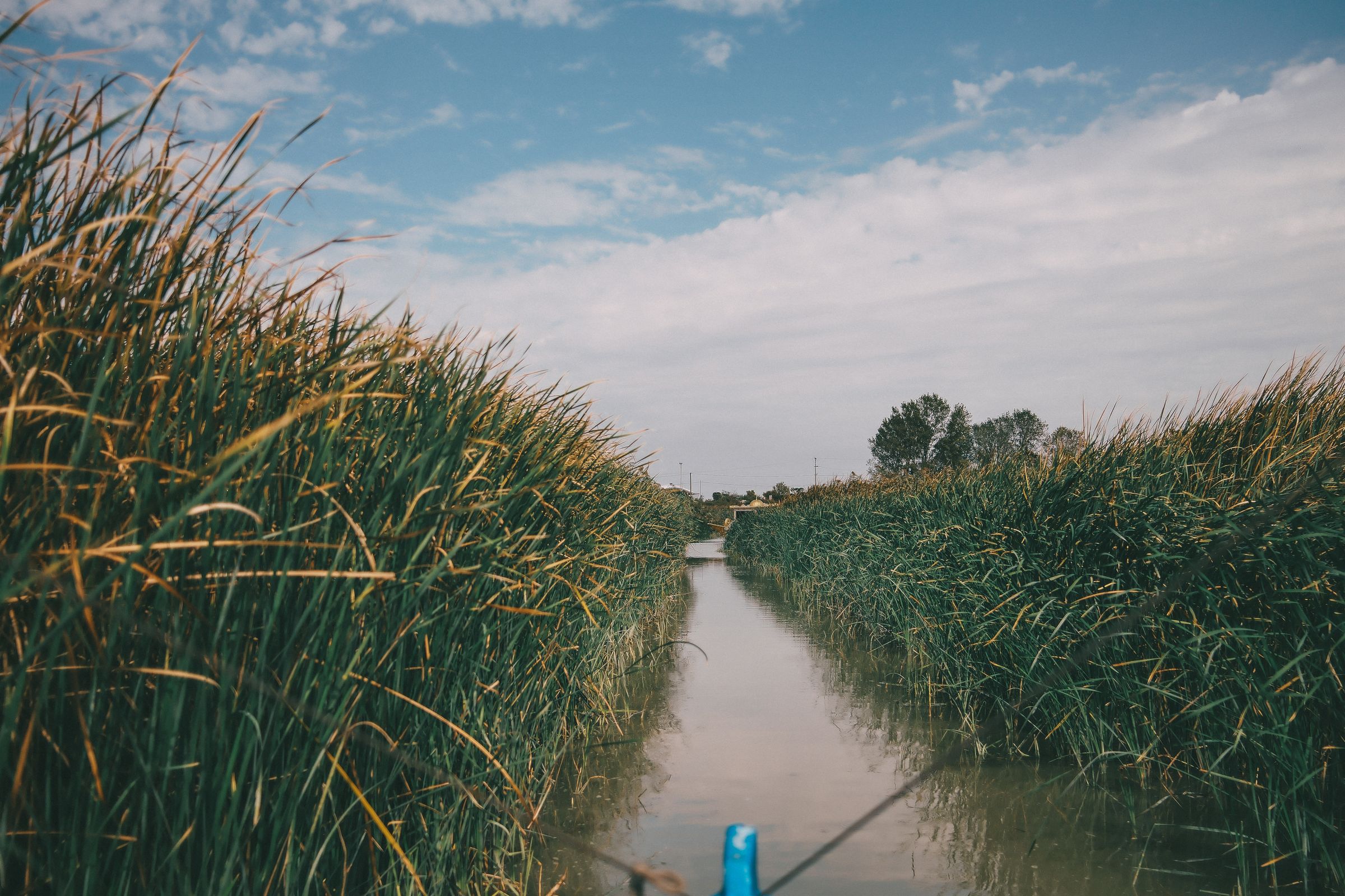
A narrow channel of water cutting through tall green reeds, the nose of a small boat at the edge of the frame
Spring, a channel through the reeds while there is still water to row

Life here takes the lake in shifts. In a hard winter the shallow water freezes and fills with skaters. In spring the fishermen put out, and you can row across thirty-eight square kilometres that will not exist by autumn. Then the level drops and the same families walk out behind their cattle to graze the floor and cut hay where the carp had been. In the spring of 2025 the gauges at Dolenje Jezero stood above four metres and the lake was as wide as it gets; by late summer it was gone again. Nobody local finds this remarkable. A lake that is also a skating rink and a hayfield is just the place they are from.
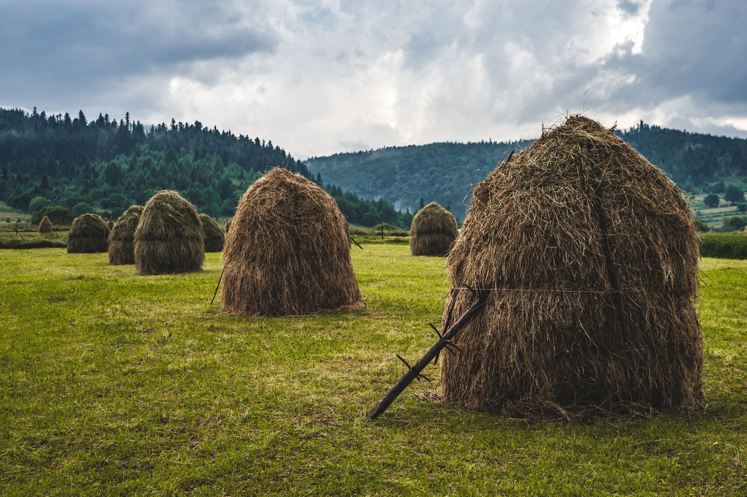
Traditional haystacks drying on a green meadow with forested hills behind under a grey sky
Late summer, hay drying on the floor of the lake

It will be a meadow by the time you read this, or a lake, depending on the rain. Most landscapes change too slowly to feel from inside a single life. Cerknica changes on the scale of a season, fast enough to watch and slow enough to live by, and it has kept that rhythm since long before anyone wrote it down. Whatever is out there this month, the other thing is already on its way.

← All dispatches
Places on record

Every place in this dispatch

  1. Lake
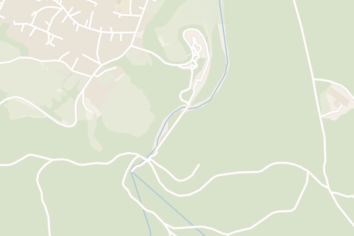
    Map of Lake Cerknica
    Lake

    Lake Cerknica

    Water fills the Cerknica polje through springs and swallow holes after the autumn rains and drains back underground through the same karst in dry months, so the lake is fullest from late autumn to spring and often a meadow by August. The shore path from Dolenje Jezero suits walking and cycling in any season. In a full year, birdwatchers come for the reed beds and the flooded fields.

  2. Park
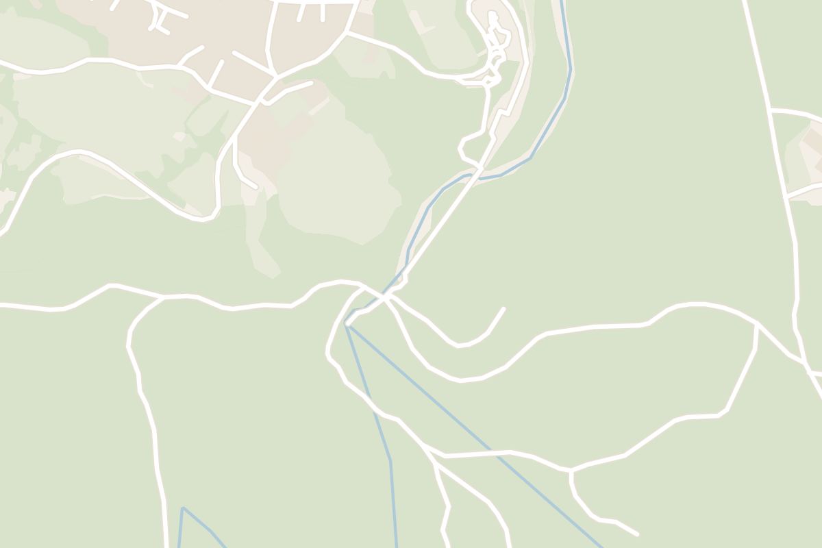
    Map of Rakov Škocjan
    Park

    Rakov Škocjan

    Two natural stone bridges span the Rak gorge in this small landscape park about 10 km northwest of Cerknica, the remains of a collapsed cave roof. A marked circuit of roughly two to three hours links the Big and Little Natural Bridge, the Zelške Caves and the river's disappearance underground. The paths are shaded, which makes the circuit a good summer choice, but they turn muddy after rain.

  3. Landmark
    Map of Križna Cave
    Landmark

    Križna Cave

    Underground lakes chain through this unelectrified cave in the Lož valley, about 20 km southeast of Cerknica, and every visit is guided with hand lamps. The short tour covers the dry galleries and a brief boat crossing of the first lake. A four-hour trip by inflatable boat through thirteen lakes takes small groups only and must be booked well ahead, especially in July and August.

  4. Landmark
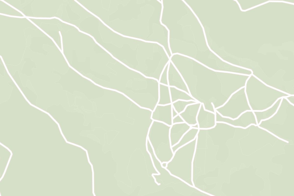
    Map of Planina Cave
    Landmark

    Planina Cave

    Two underground rivers, the Pivka and the Rak, meet inside this water cave near Planina, about 15 km northwest of Cerknica, to form the Unica. There is no lighting and no built walkway: tours are guided, with headlamps and boots, and the longer trips follow the river on foot or by boat. Visits run mainly in the summer months, on a limited schedule.

  5. Mountain
    Map of Slivnica
    Mountain

    Slivnica

    A marked path climbs from Cerknica to the 1,114-metre summit of Slivnica in roughly two hours, through beech woods to a mountain hut near the top. From the ridge the whole Cerknica polje lies below, full of water or green, depending on the season. Local legend places the witches of Notranjska here, and a carnival figure of a witch still appears in town each February.

  6. Castle
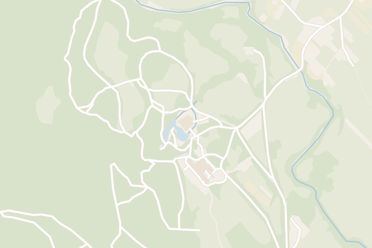
    Map of Snežnik Castle
    Castle

    Snežnik Castle

    Furnished rooms from the nineteenth century fill this white castle in Kozarišče, at the head of the Lož valley about 20 km southeast of Cerknica, and visits run as guided tours through the interiors. The parkland and the castle pond are free to walk around. A small museum in the old granary covers the local tradition of dormouse trapping.

Explore

More of Slovenia

Country

Slovenia

Every Slovenia dispatch, city and place, on one map.

Town guide

Cerknica

Everything on record around the lake, from Rakov Škocjan to the boat trips inside Križna Cave.

Dispatch

Bled, the Faded Fairytale

The island, the castle, the lake walk and a night at the Grand Hotel Toplice.

Meridian Dispatch for iPhone

Plan the trip.
Keep the story.

Every other travel app asks you to start logging. Meridian Dispatch opens with years of your travel already written, from the photographs you already took.