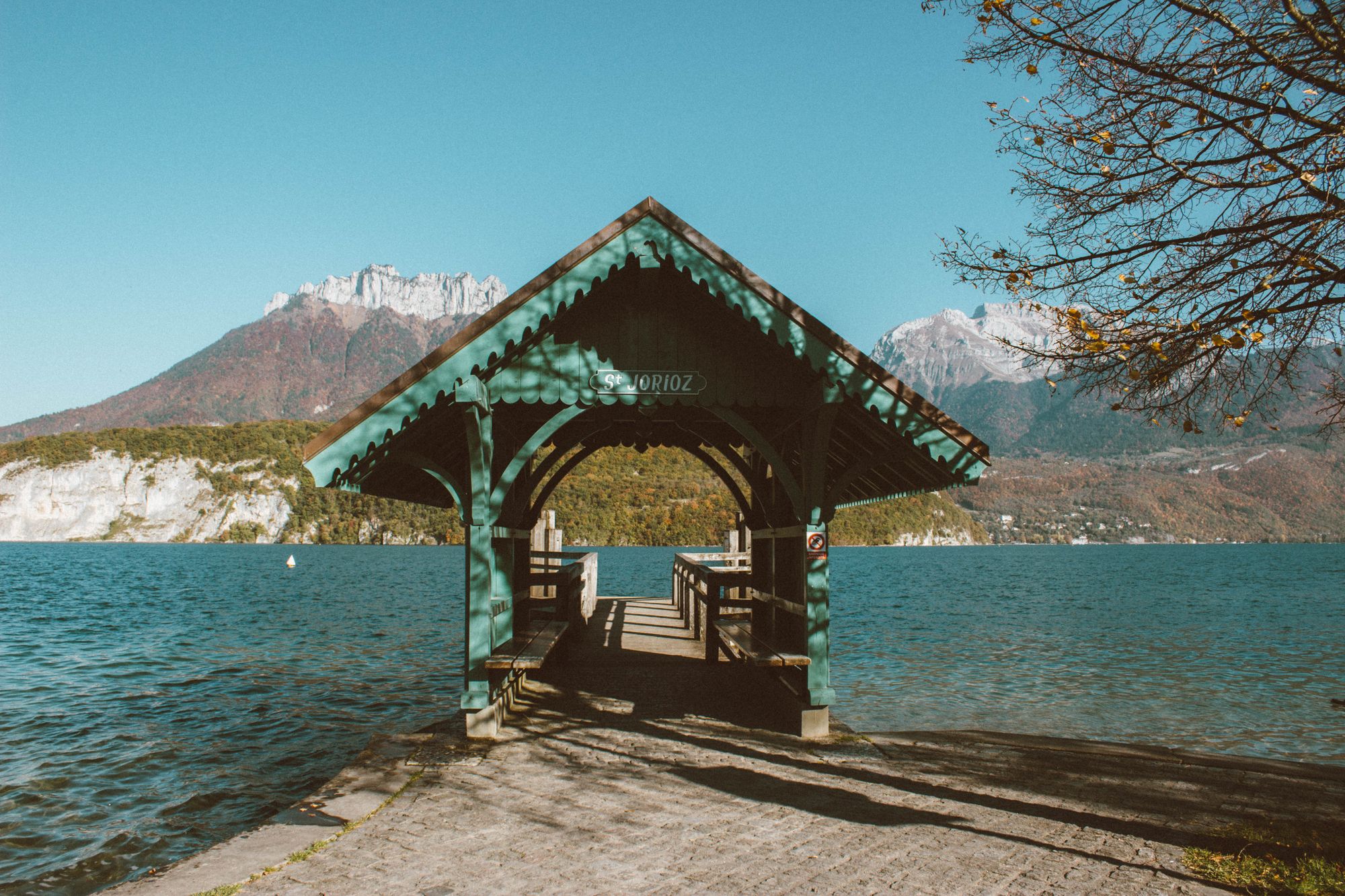
Ninety seconds on Voie verte du lac d'Annecy
Riding the old railway down the west shore gives you tarmac beside the water with almost no climbing, the lake at your shoulder for most of the way.
The path runs on the bed of the old Annecy to Albertville railway, now one of the oldest greenways in France. It stays on the lake shore, 3 metres wide with two-way traffic, and across the water rise the peaks of the Bauges massif.
The railway still shows if you look for it. Reinforced bridges carry the path over small streams and lanes, and at Duingt it passes through the tunnel the trains once used. Three underpasses take it under the main roads, so the west-shore ride avoids crossings with traffic.
The best stop is the old Bredannaz station in Doussard. It has toilets, a water fountain, picnic tables and a small rail display that includes a locomotive from 1911. The state opened this stretch, from Sévrier to Bredannaz, in 1976.
Best ridden south from Annecy, the path runs through Sévrier, Saint-Jorioz and Duingt. Picnic areas sit beside the track in several places, so stop where you like.
Doussard, halfway along, is the natural place to turn round. The path carries on past the end of the lake to Marlens, and to come back you ride the same path north.
The full loop of the lake works only when the east shore is open, so check the works notices before you set out. Ride it clockwise, down the east shore first, so the steep Talloires climb comes on its gentler side and you finish on the greenway.
Parts of the loop run on the road between Bout-du-Lac and Menthon-Saint-Bernard. Allow three to three and a half hours of riding without stops.
The wind usually blows from Annecy towards Ugine, so the ride south is the easy one and the ride home faces it.
Book bike hire ahead in summer. Carry water, snacks and a helmet, and a solid lock if you mean to leave the bike at a beach or café.
On fine days up to 10,000 riders and skaters use it in a day, so expect to overtake slower riders and pass walkers at the edge. Bring a bike light for the Duingt tunnel.
Explore the rest of Annecy
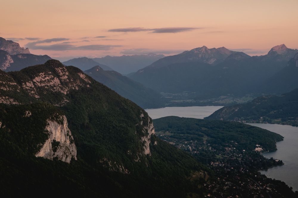
A protected wetland at Doussard, at the south end of Lake Annecy, where reedbeds, wet woods and meadows meet the water. A flat boardwalk…
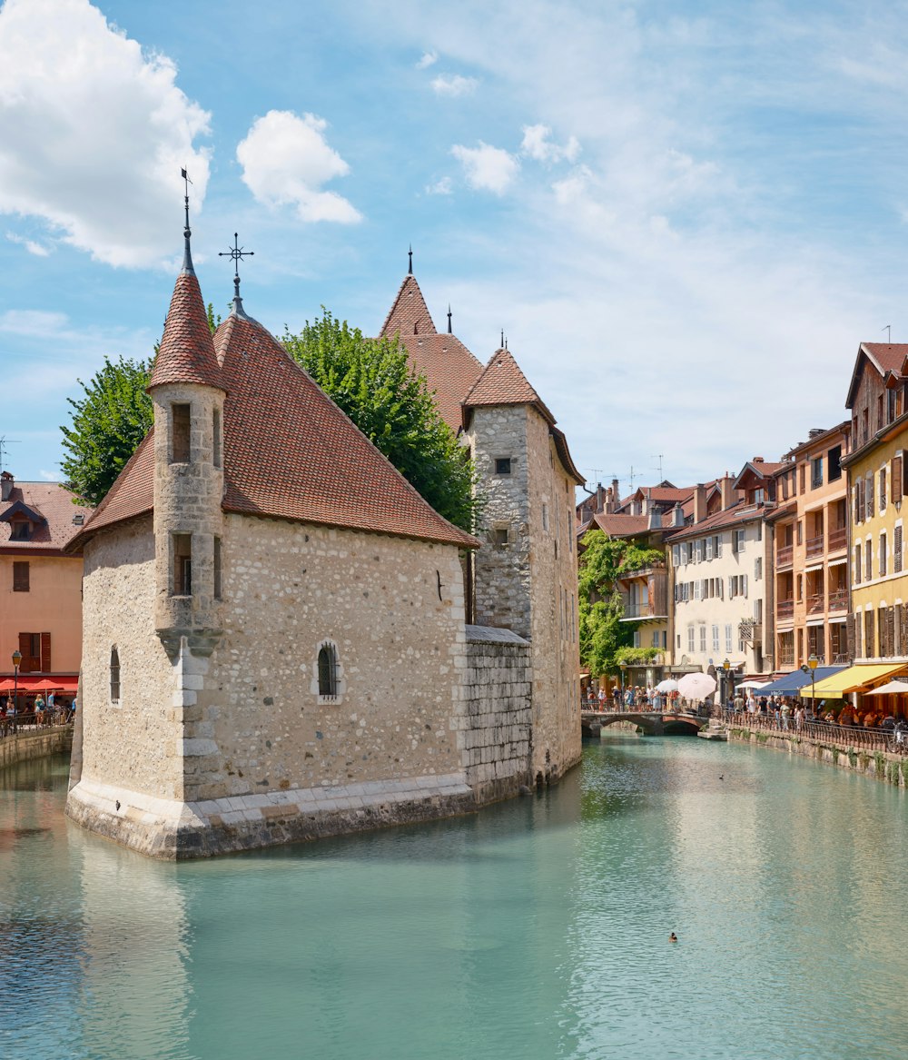
A long, deep lake ringed by mountains, with water clear enough to see the bottom near the shore. A free grassy beach sits a short walk from…
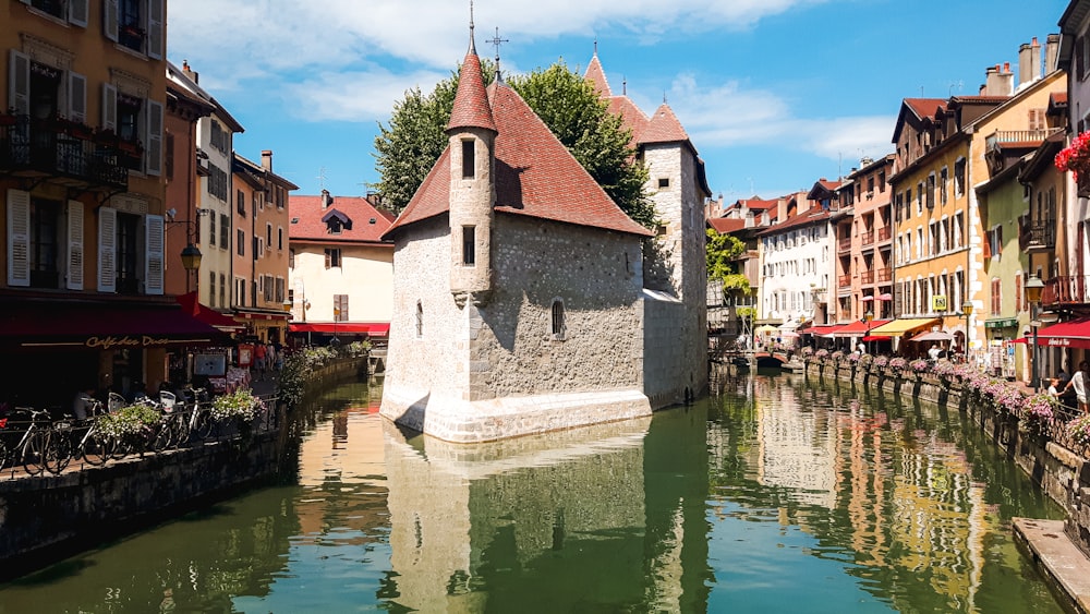
Home of the Counts of Geneva and later the Dukes of Genevois-Nemours, the castle was abandoned as a residence in the 17th century after…