Ninety seconds on Kirkjufell
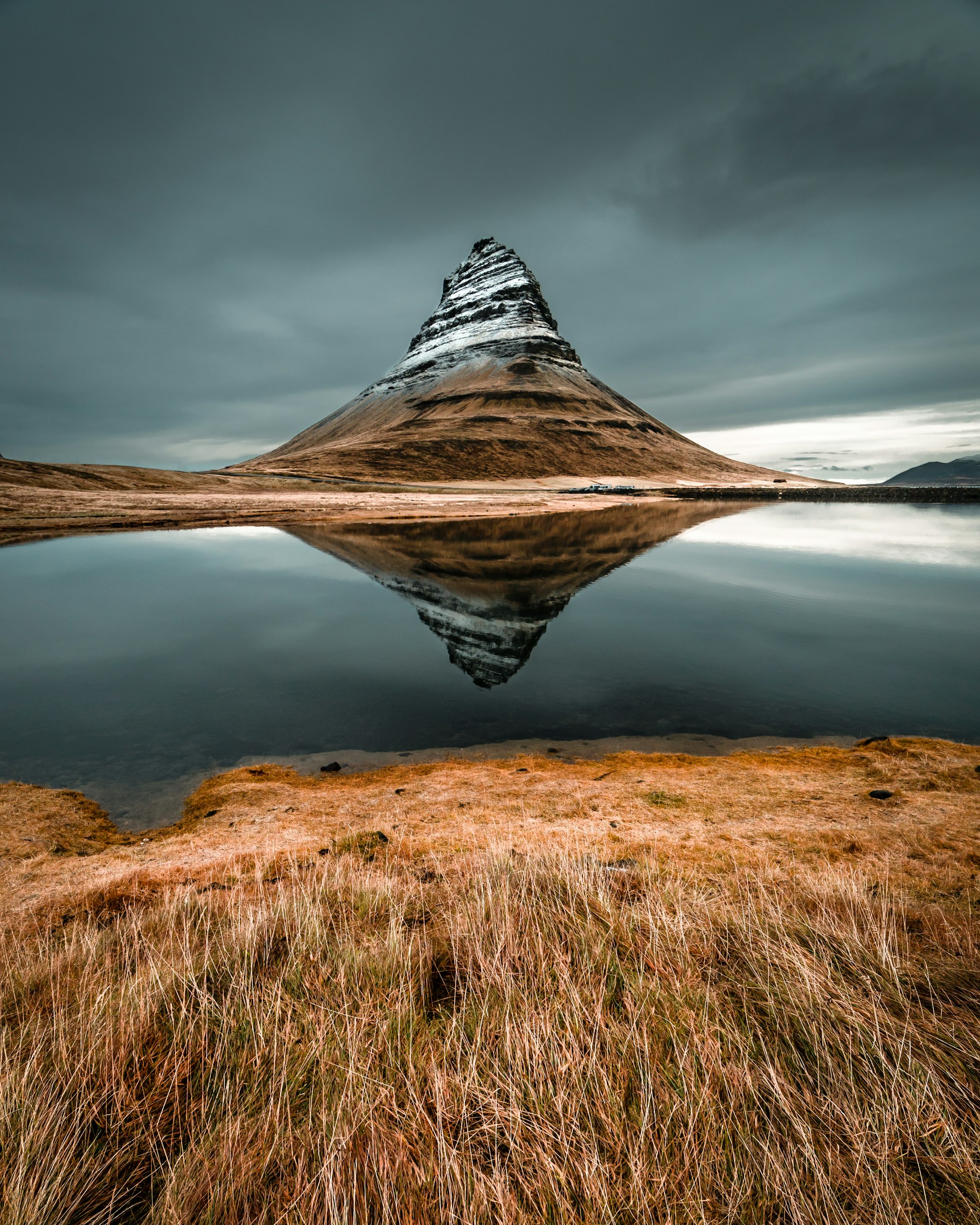
Standing on the footbridge at Kirkjufellsfoss, you fit one of Iceland's most photographed views into a single frame: a three-tier waterfall in front, a lone, steep peak shaped like a church steeple behind.
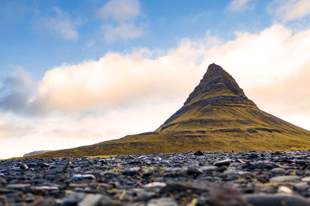
What you are looking at is a mountain left standing on its own. Glaciers moved down the valleys on either side and eroded the surrounding rock, and Kirkjufell stayed between them. At 463 metres it is not high for Iceland; the shape is what made it famous.
The peak is built of layered sedimentary and volcanic rock, and it rises straight from the coast to a point. Its name means Church Mountain. Danish sailors called it Sugarloaf, after the cone-shaped blocks that sugar was once sold in.
Game of Thrones fans call it Arrowhead Mountain, a name it never had in Icelandic. You do not need to climb it to see why it became famous. The strongest views are all from the low ground around the base, where the whole shape is easier to read.
Short, easy paths lead from the Kirkjufellsfoss car park to the waterfall, about 50 metres away, with the mountain in view the whole way.
Then follow the path over the footbridge to the far side of the falls. That is the classic angle, with the river curving toward the peak and leading the eye up to it. Stay on the marked gravel paths and viewing areas, because the moss and soil here are fragile.
If you have more time, a full loop around the base of the mountain takes about two hours. There are no toilets or cafés at the site. Grundarfjörður, just back east, has fuel, groceries and cafés, so stop there before or after.
You need no guide to see or photograph Kirkjufell, because the view is from the low ground and the paths are short.
The summit is another matter. The route is a steep scramble over loose rock and narrow ledges, with sections that need ropes. Attempt it only if you are an experienced mountaineer with the right equipment and a licensed local guide, and read the landowner notices on site first.
Bring a windproof and waterproof layer even in summer, because sudden strong gusts sweep the peninsula. Wear sturdy waterproof shoes, and watch for slippery ground, especially in winter.
Arrive early in the morning or in the evening, because the car park can fill with tour coaches at midday in summer. The northern lights season starts in September, and from November to early April the peak turns icy.
Explore the rest of Grundarfjörður
A fishing town on the north coast of Snæfellsnes, wrapped around a working harbour with Kirkjufell standing at the mouth of the fjord.…
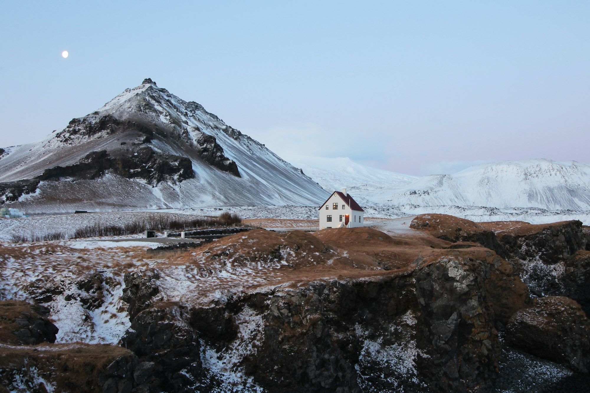
Under the cone of Stapafell on the south coast of Snæfellsnes, this harbour village is almost entirely a base for walkers. The shore below…
A hotel on the harbour road in the middle of town, with an outdoor hot tub and a sauna looking across the fjord. Kirkjufellsfoss is a five…