 Submit a photo
Ninety seconds on Conor Pass
Plan on two stops: the summit car park, with the sea on both sides of the peninsula, and the waterfall pull-in on the north side, below a glacial lake you can scramble up to.
South of the summit car park, the view runs across Dingle Bay to the Iveragh peninsula and out to sea to the Skellig Rocks. To the north are Brandon Bay, Mount Brandon, Kerry Head and Loop Head in County Clare. In very clear weather you can make out the Aran Islands off County Galway.
On the north side, look down into the wide U-shaped valley below the road. Glaciers of the last ice age left piles of boulders across its floor and small lakes among them, one held back by a ridge of that rubble.
Lough Doon, known locally as Pedlar's Lake, is a glacial corrie lake sitting above the road on the north side, and it feeds the Conor Pass waterfall. The rock lip at the lake's edge is scored with lines left by the ice.
Driving the whole pass takes about ten minutes. The climb from Dingle, the easier half, ends at the summit car park.
Over the top, the first 2 km down toward Cloghane is the narrow part. The road runs as a single lane cut into the mountainside, round sharp cliff faces, with drops beside it and a barrier along the edge.
Further down, pull in at the small car park and viewing area beside the waterfall. Climb the rocks above it for the view over the lake and the countryside below, then carry on down to Kilmore Cross.
Your car's papers give its weight, so check them before you go over the top. The narrow stretch has signed lay-bys from both directions, with signs giving the distance to the next passing bay. Pull in whenever a vehicle comes the other way.
Expect a wet road, and leave room to brake on the bends. In fog or low cloud, turn your fog lights on. Keep a warm layer in the car, as it is always a few degrees cooler at the top.
Explore the rest of Dingle
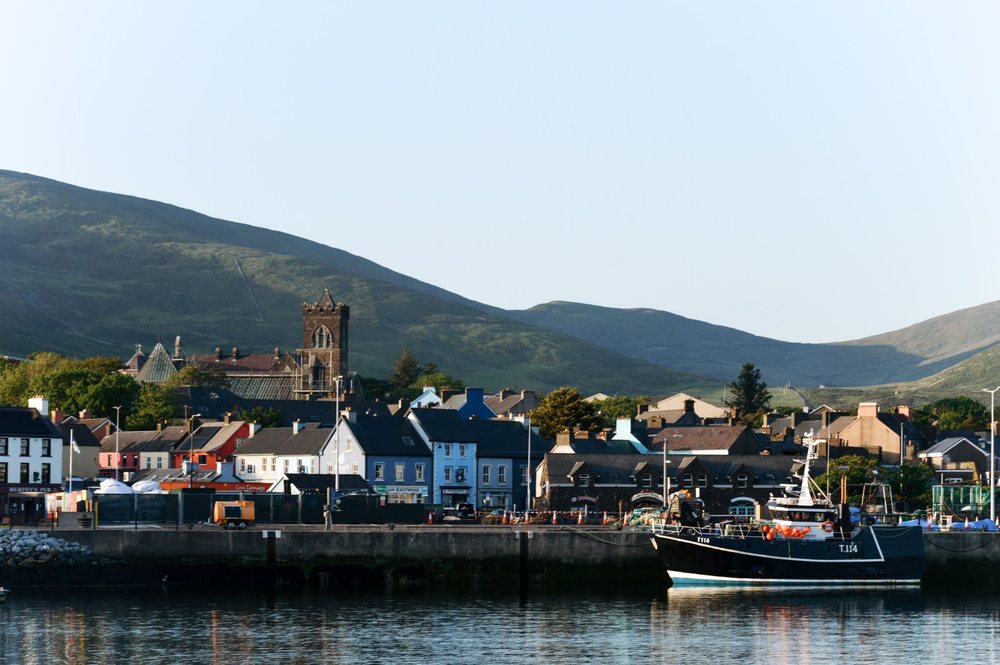
A fishing harbour town on the south coast of its Kerry peninsula, known in Irish as An Daingean. Painted houses line the waterfront below…
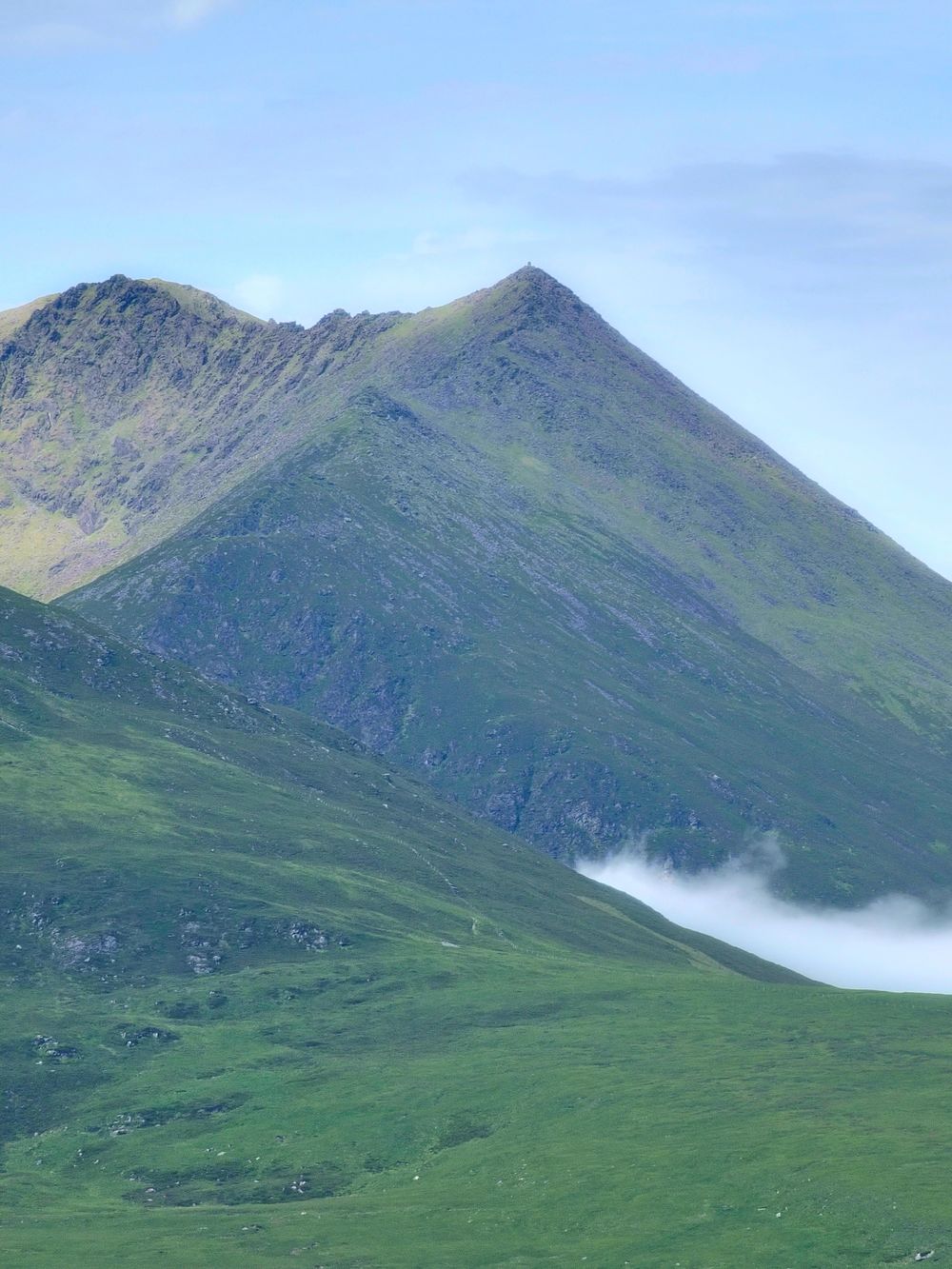
At 952 m, the highest Irish mountain outside the MacGillycuddy's Reeks, climbed by the Saint's Path, Cosán na Naomh, an old pilgrim route.…
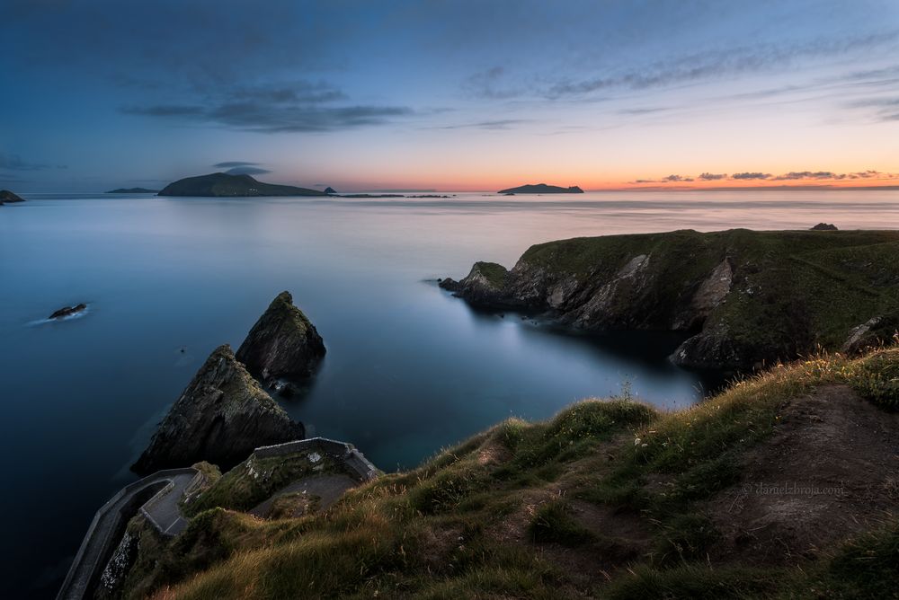
The pier under the cliffs at Dún Chaoin where the ferries leave for Great Blasket. Cars cannot drive down to it: drivers park on the…
Last updated