Things to do
8-
Conor Pass
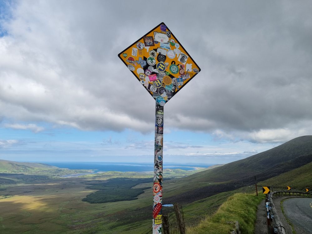
One of the highest public roads in Ireland at four hundred and fifty-six metres, cut into the cliff between Dingle and Brandon Bay with a hanging valley and corrie lakes below it. It is barred to buses and caravans and there are stretches with rock on one side and no barrier on the other.
-
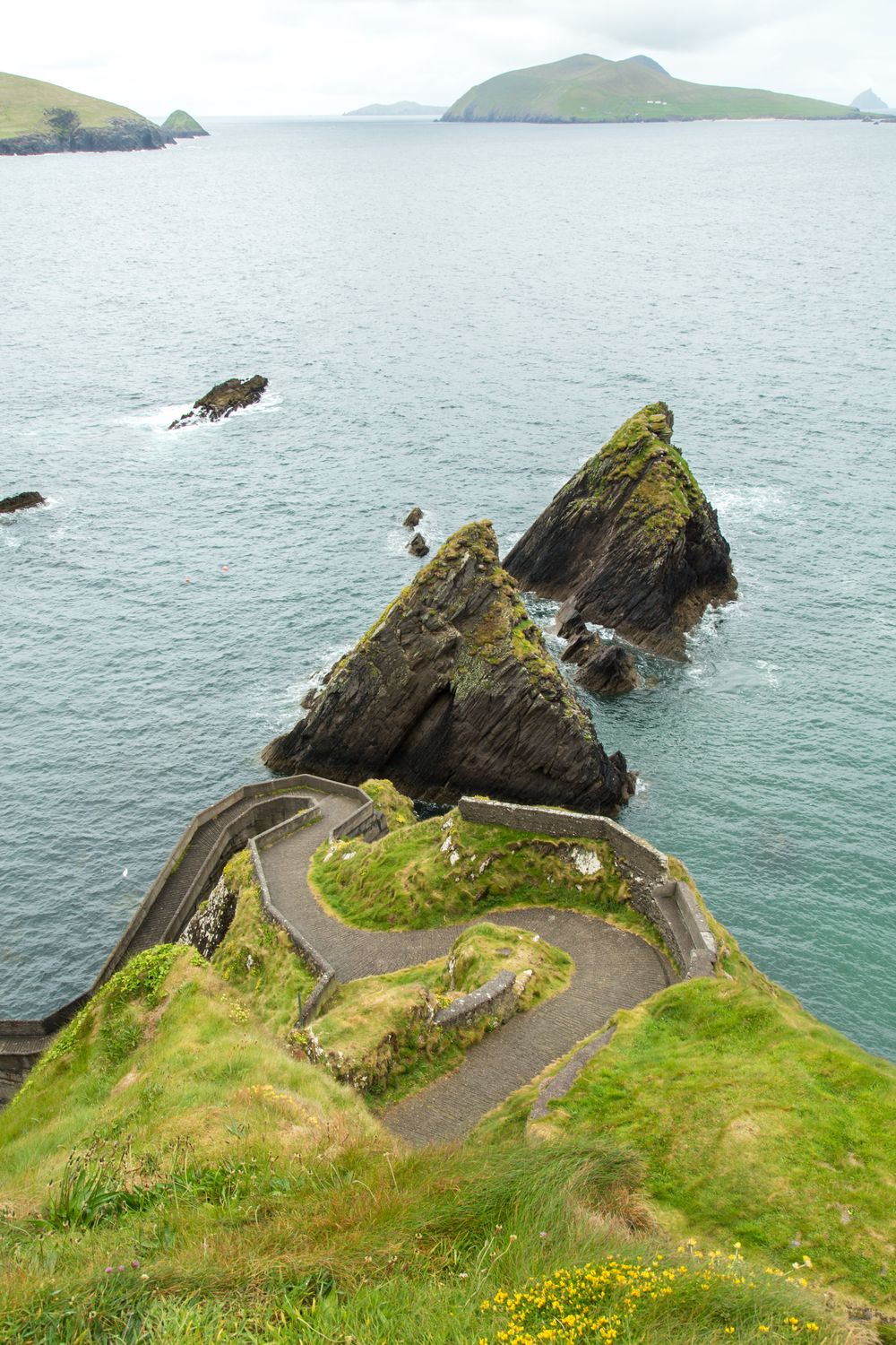
Great Blasket Island
The largest of the Blaskets, evacuated in 1953, whose tiny community produced a shelf of Irish-language memoirs including Tomás Ó Criomhthain's The Islandman. Ferries run from Dunquin in summer, landings depend entirely on the swell, and the beach holds a large grey seal colony.
-
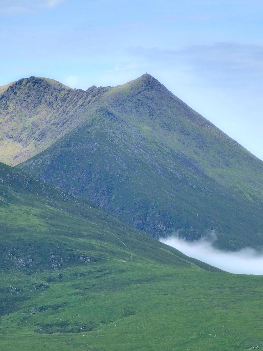
Mount Brandon
The highest mountain in Ireland outside the Reeks at nine hundred and fifty-two metres, climbed by the Saint's Road pilgrim path from Ballybrack or by the harder eastern ridge above the paternoster lakes. The summit carries a cross and the weather changes on it fast.
-
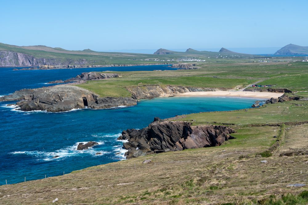
Slea Head Drive
A loop of about fifty kilometres west from the town around Mount Eagle, passing the Dunbeg promontory fort, the Fahan beehive huts and the Blasket viewpoint, with the Skelligs visible on a clear day. It is driven clockwise because several stretches are single track with no passing place.
-
Blasket Centre
An interpretive centre at Dunquin facing the island across the sound, built around the literature the Blaskets produced and the evacuation that ended the community. It is the right stop when the sea is too rough to land, and the window at the end frames the island itself.
-
Dunbeg Fort
An iron age promontory fort on a cliff edge on the Slea Head road, defended by four earthen banks and a drystone wall, with a souterrain running under it. Storms have taken part of the site into the sea and what remains is fenced back from the edge.
-
Gallarus Oratory
A drystone oratory shaped like an upturned boat, built without mortar somewhere between the seventh and twelfth centuries and still watertight. It stands in a field near Ballydavid and takes ten minutes to see, and the visitor centre beside it charges for the car park.
-
Inch Beach
A five-kilometre sand spit reaching out into Dingle Bay, firm enough to drive on and used for the filming of Ryan's Daughter. There is a surf school and a cafe at the neck and the tide goes out a very long way.