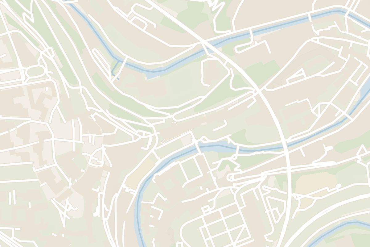
Between the Alzette and the plateau above Grund, stretches of medieval wall with towers and gates still link the lower town to the defence ring. The signposted loop takes you down into the valley and back up the far side past the fortress towers.
Landmark, Luxembourg City. Meridian Dispatch.
No. The route is signposted along the way, and the city tourist office leaflet covers the rest. A guide is an option for groups, booked as a private tour.
The Bock promontory, the Castle Bridge and the Chemin de la Corniche come first, then the drop to the river at the Stierchen. The route climbs back through the gates to the restored towers on the plateau and returns by the Vauban barracks.
Partly. From April to October the Dinselpuert shows a film on the birth and significance of the city walls in the Middle Ages, and the casemates on the plateau can be walked through.
The ground is uneven, with stairs and changes in level throughout, on a steep circular route. Good shoes are enough, and no special equipment is needed for any part of the walk.
Yes. Below the street at the start, the archaeological crypt and the Bock Casemates are hewn into the rock. The casemates keep their own opening hours and visiting options, listed on luxembourg-city.com.
By public lift. The walk finishes in the Grund district beside the Alzette, among its cafes and restaurants, and the lift there returns walkers to the city centre without the climb.
Raised to protect the inhabitants of the valley, this stretch of the third ring wall, known as the Wenzel Wall, ties the lower town and the Rham Plateau into the city's defence ring.
At the bottom of the vale stands the Stierchen, a medieval tower beside a stone footbridge. Pass through it to the riverbank for a view of part of the ring wall from outside.
In front of the wall, archaeologists uncovered the moat and the well-kept foundations of a medieval wooden bridge that carried the first road to Trier. The route then crosses the wall's sentry walk, fitted with loopholes.
Higher up stands the Jacob Tower, or Dinselpuert, a large gate with a rectangular ground plan.
On the Rham Plateau, the four defence towers have been fully restored and the fortress moat cleared again. From the towers the view runs across the Corniche to the Cité Judiciaire and up to the Red Bridge.
Bock Casemates is the bus stop to use, and the loop begins on the Bock promontory, the cradle of the city. Cross the red sandstone Castle Bridge and follow the Chemin de la Corniche down past the Grund Gate, then turn left and wind down to the Stierchen footbridge.
Past the wall, a staircase climbs to the Second Gate of Trier, and a bridge over the road leads onto the Rham Plateau.
From there, descend beside the Vauban barracks and cross the Alzette on the old Maierchen bridge. Walk along the river through Grund to the bridge lined with cafes and restaurants, where the loop ends.
Download the leaflet in English, French or German from luxembourg-city.com before you set off. Information boards along the way explain the main sights and the city's history.
Near the railway bridge, look out for a new panoramic viewpoint added to the route.
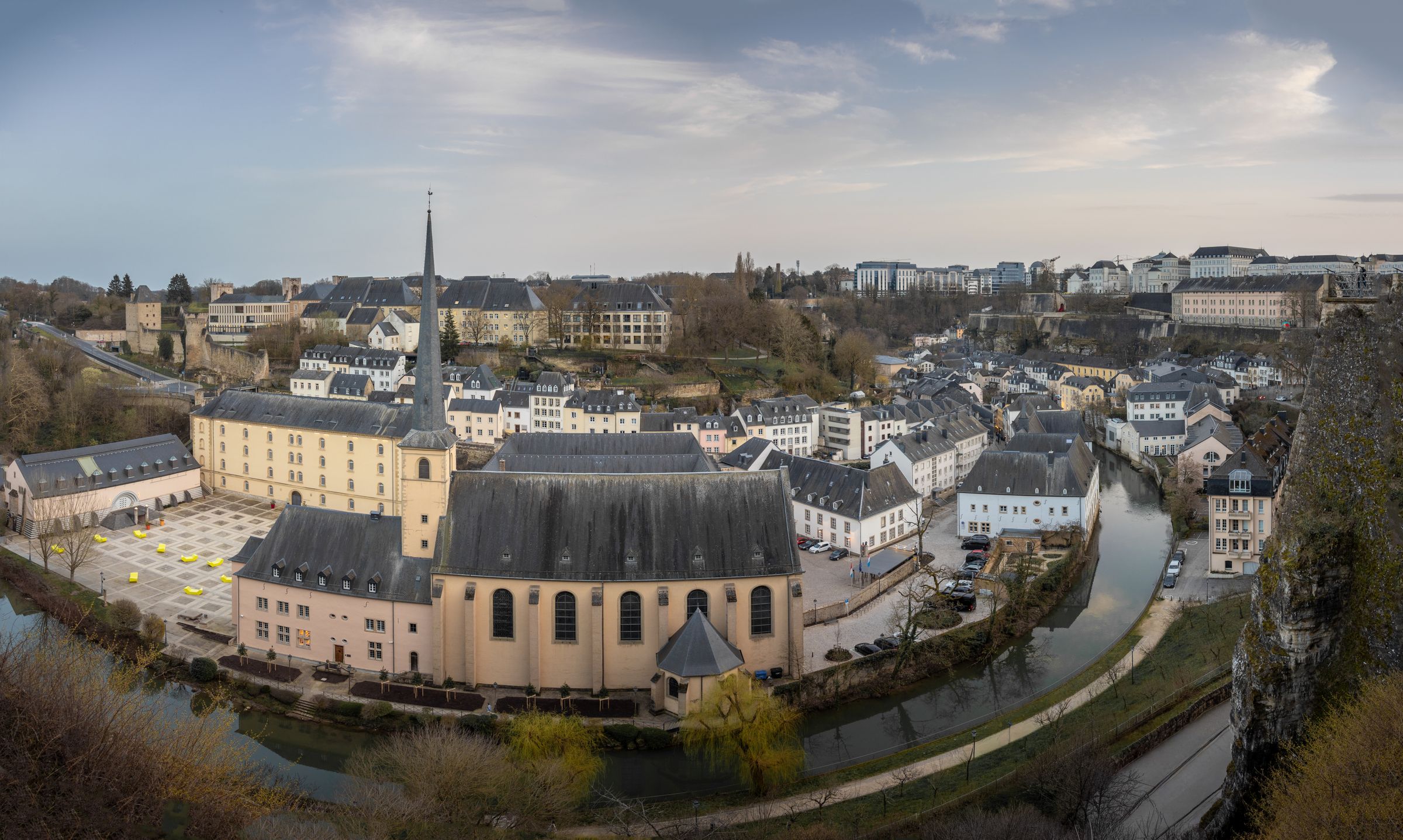
In the Ville Haute the main sights are a walk apart, and a free public lift drops you to the Pfaffenthal in the valley below, running until 1 am for the ride back up.
Read the Luxembourg City guideExplore the rest of Luxembourg City
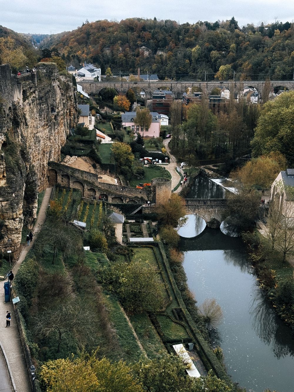

A main gallery 110 metres long runs through the rock of the Bock promontory, with side passages where cannon once covered the Alzette…
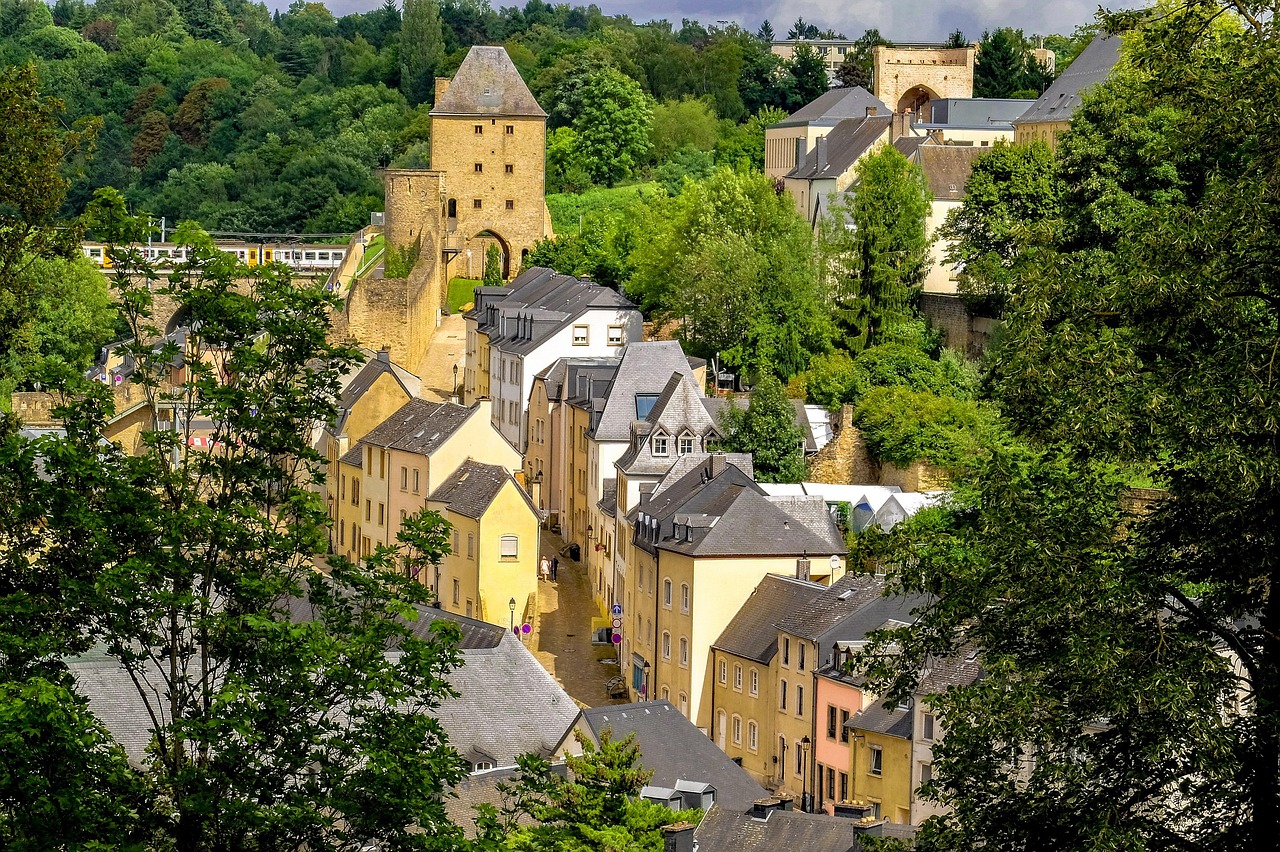
Down in the Alzette valley below the city centre, old houses crowd the riverbanks around Neimënster Abbey, with views up to the fortress…
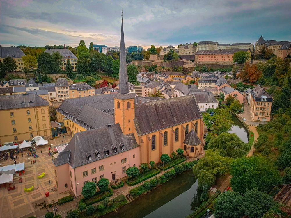
Begun by Benedictine monks in 1606, the abbey complex on the Alzette in the Grund now runs as the Neimënster cultural centre, with…
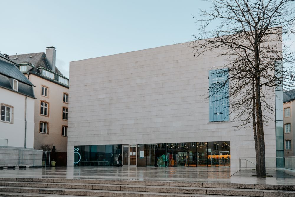
On the old Fish Market square in the upper town, the national museum gathers archaeology, history, coins and medals, decorative arts and…
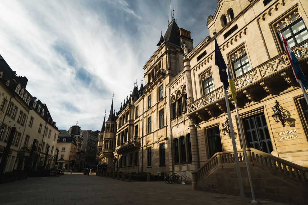
Rue du Marché-aux-Herbes runs past the palace where the Grand Duke keeps his office, a building that served as the city's town hall for…
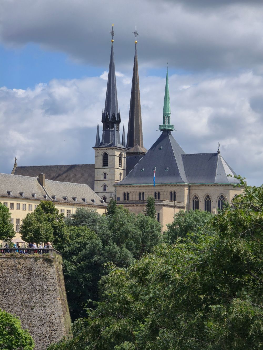
Late Gothic pillars and Renaissance carving share the city's Catholic cathedral, whose cornerstone was laid in 1613. Steps lead down to the…
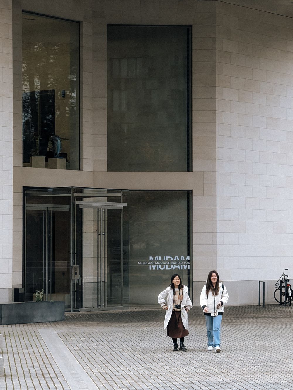
Up on the Kirchberg plateau, the building by Ieoh Ming Pei for the national museum of modern art rises on the site of the old Fort Thüngen…
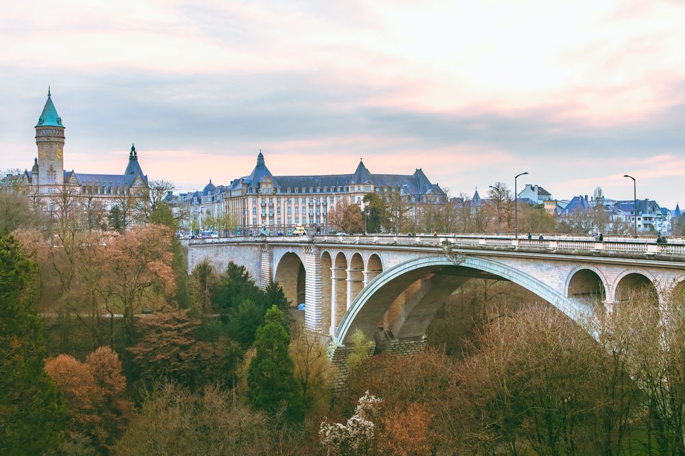
Spanning the Pétrusse valley about 42 metres up, a double-decked arch completed in 1903 carries road traffic and the city tram on its upper…




Save Wenceslas Wall to your Luxembourg trip in the Meridian Dispatch app and build the day around it, with the best of Luxembourg City pinned on one map.
Download on the App StoreThe official pages this guide was checked against.
Last updated