Ninety seconds on Komovi
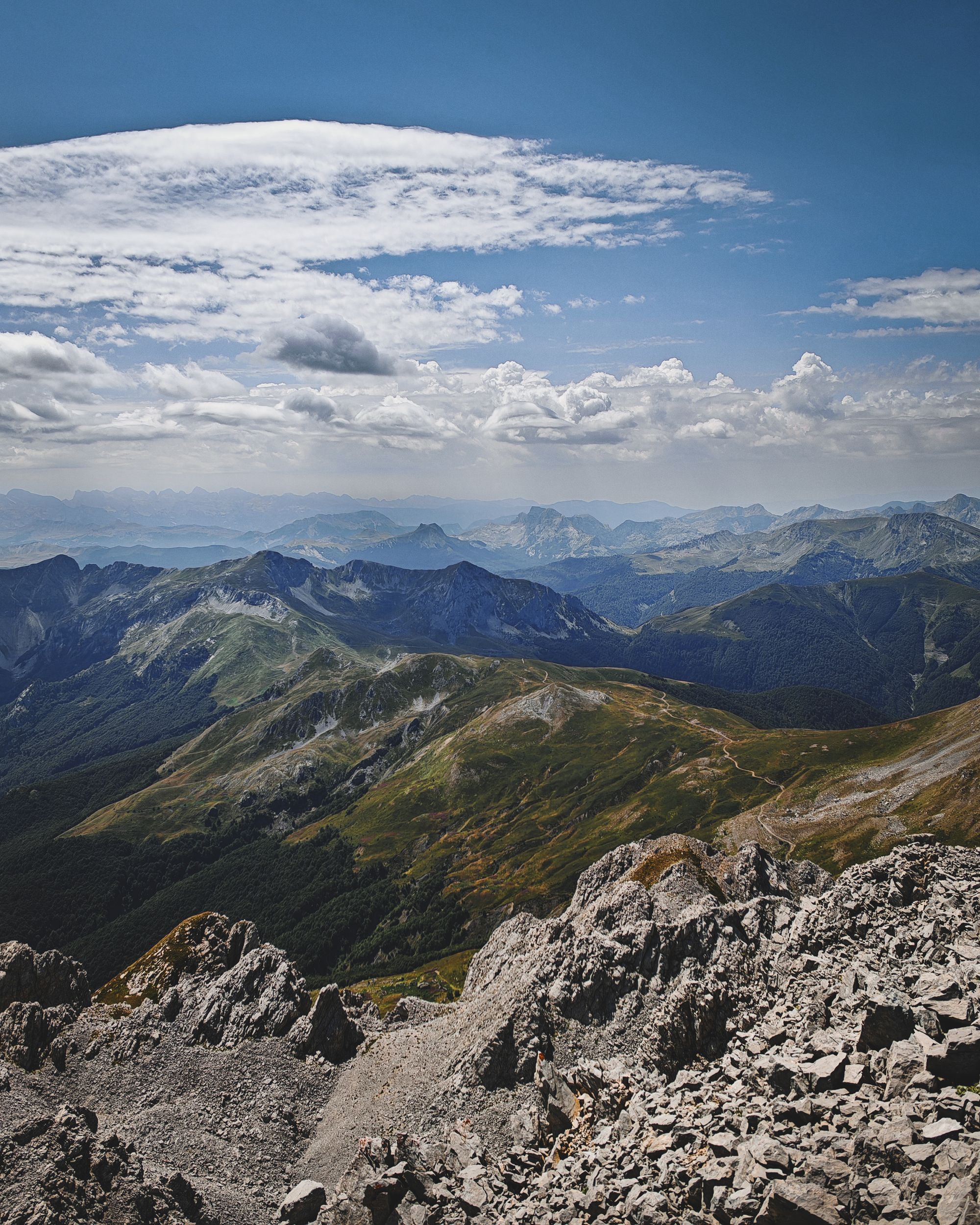
Komovi's limestone summits make a full mountain day: you climb Kučki Kom from the summer shepherd pastures at Štavna and come back the same way.
The massif has three limestone summits above forested foothills: Kučki Kom, Ljevorečki Kom and Vasojevićki Kom (2,461 metres), all among the ten highest in Montenegro. Kučki Kom is the highest of the three, and the main trail from Štavna leads to it.
Štavna, at about 1,700 metres, is a katun: a seasonal highland settlement built around summer grazing. In summer you pass shepherds moving their flocks across the high pastures on the way up.
If you stay the night at Štavna, you can watch the sun rise and set over the peaks, and the morning mist roll over the treetops below. In May and June the lower meadows are full of wildflowers.
Before the climb, you stop at the boom gate beside a large restaurant at the CT-1 turn-off and pay the park entry. A dirt road then runs on to the trailhead car park, where a yellow sign lists the routes. Fill your bottles at the four icy springs near the trailhead before you set off.
The Kučki Kom route starts on a gravel road to the base of Vasojevićki Kom, where there are wooden shelters to rest in. A path then climbs gently through flower meadows and across rockfall to the Kom Pass at 2,171 metres.
Above the pass the path crosses scree, then turns into a rocky scramble up to a narrow summit ridge, where you need your hands. Allow about three hours from the car park to the summit, and about the same to come back down the same way.
Guesthouses in Andrijevica, the town on the far side of Trešnjevik Pass from Kolašin, can arrange a local mountain guide, and a taxi to the trailhead if you have no car. A guide suits you if you are new to scrambling or to faint, sparsely marked paths, or if fog is forecast.
Carry at least 2 to 3 litres of water each for a summit day. Wear hiking boots and pack a hooded waterproof and a warm layer.
Download your track and an offline map in Kolašin before you drive up, because the phone signal on the mountain is patchy and GPS can be unstable. Three peaks share the name Kom, so check the track is the one for Kučki Kom. The red circle waymarks are hard to see in fog or snow.
Explore the rest of Kolašin
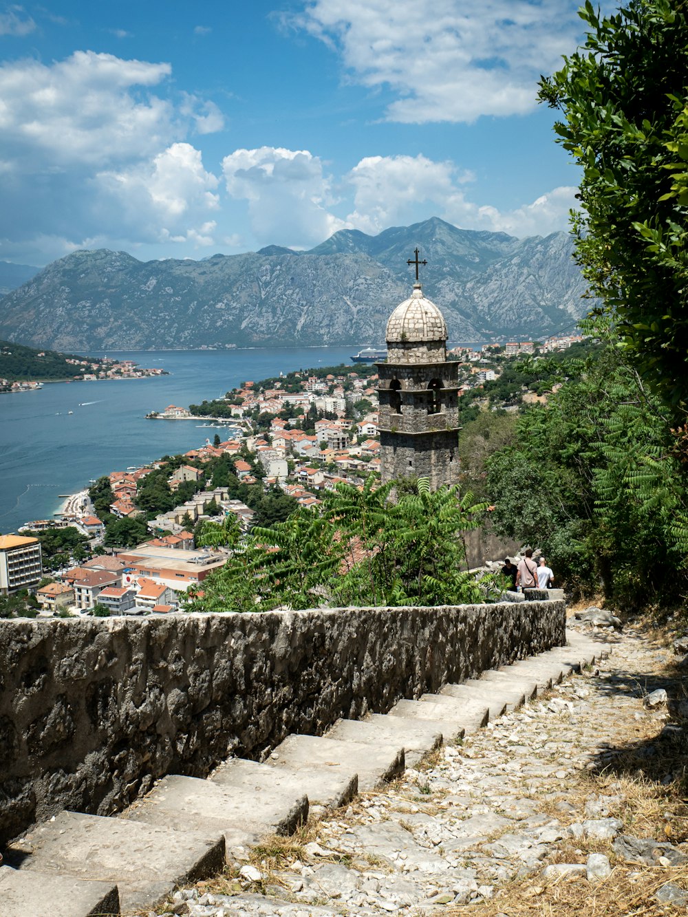
Ski slopes in winter and one of Europe's last primeval forests in summer both lie a short drive from this mountain town, 954 metres up at…
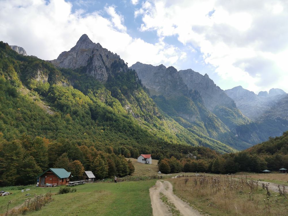
The last town before the Albanian border, in a green basin at the foot of the Prokletije, with minarets, a few cafés and guesthouses that…
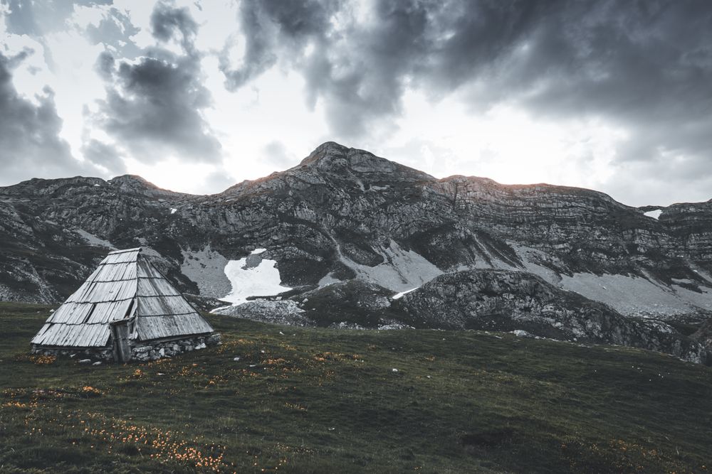
The newer of Kolašin's two ski areas, opened in 2019 on the Bjelasica slopes east of town. A gondola climbs from the base to Troglava,…