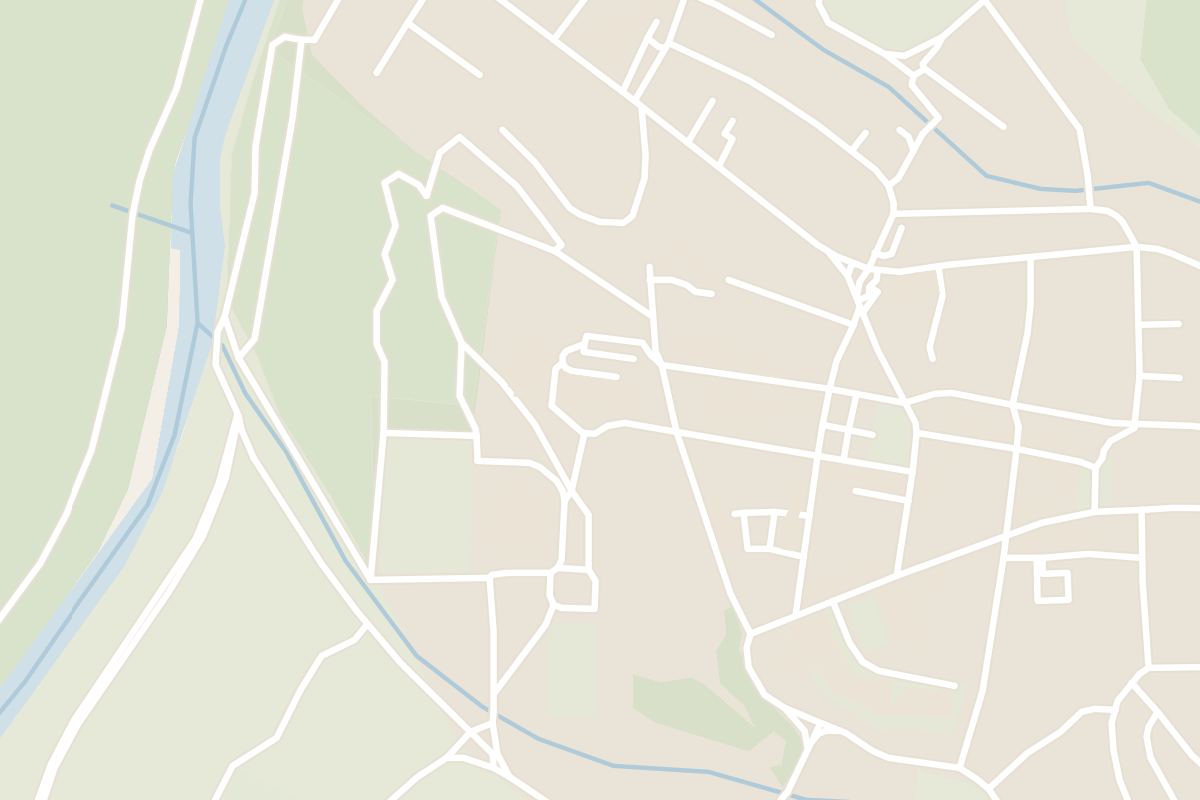
 In Kolašin
Prokletije National Park
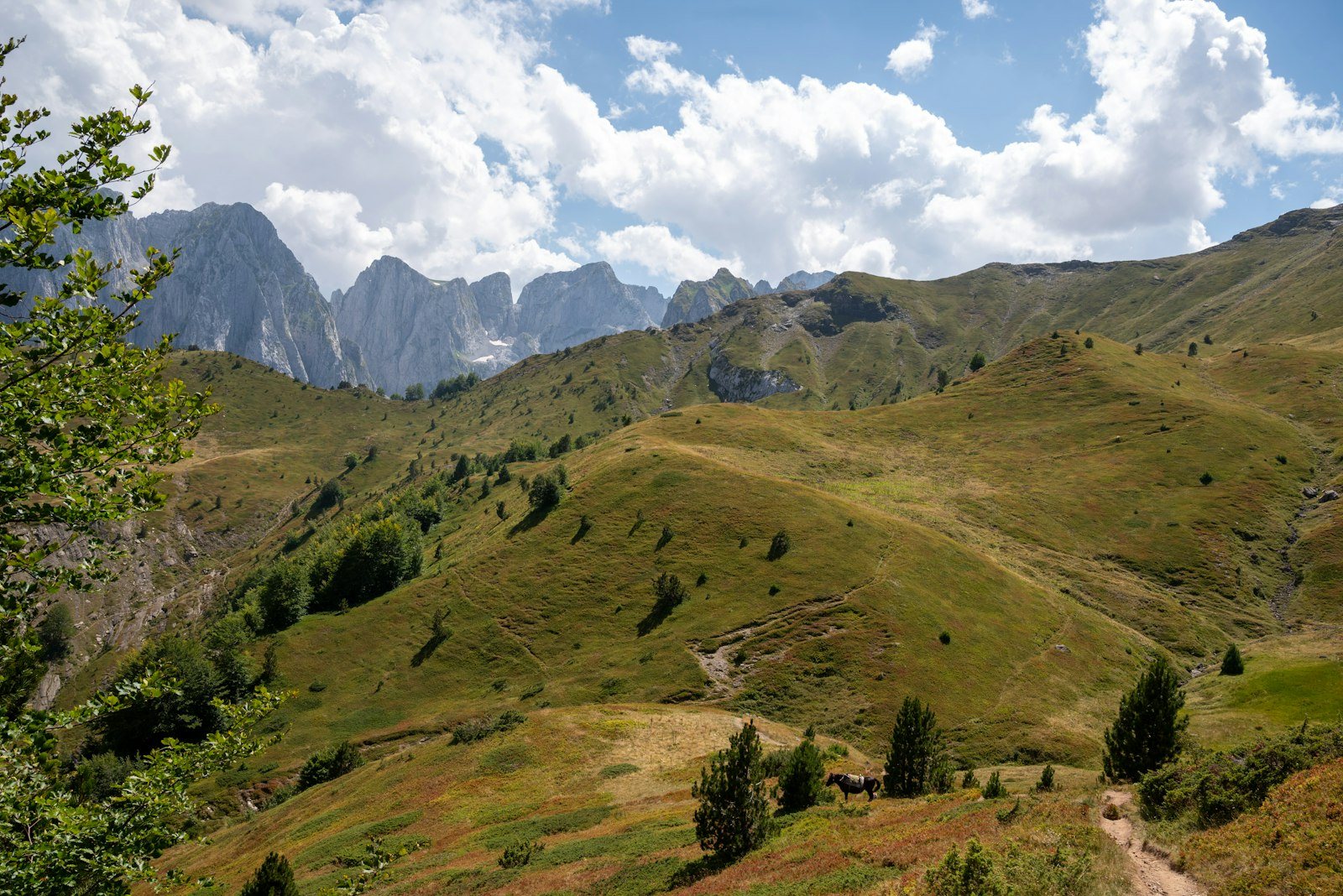
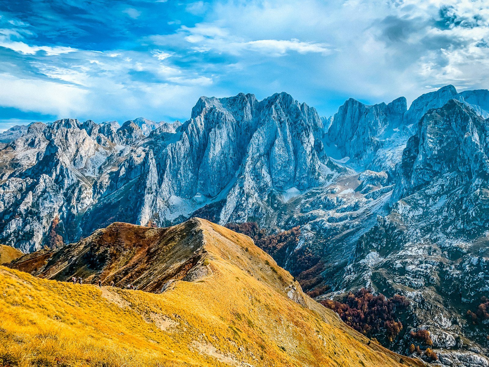
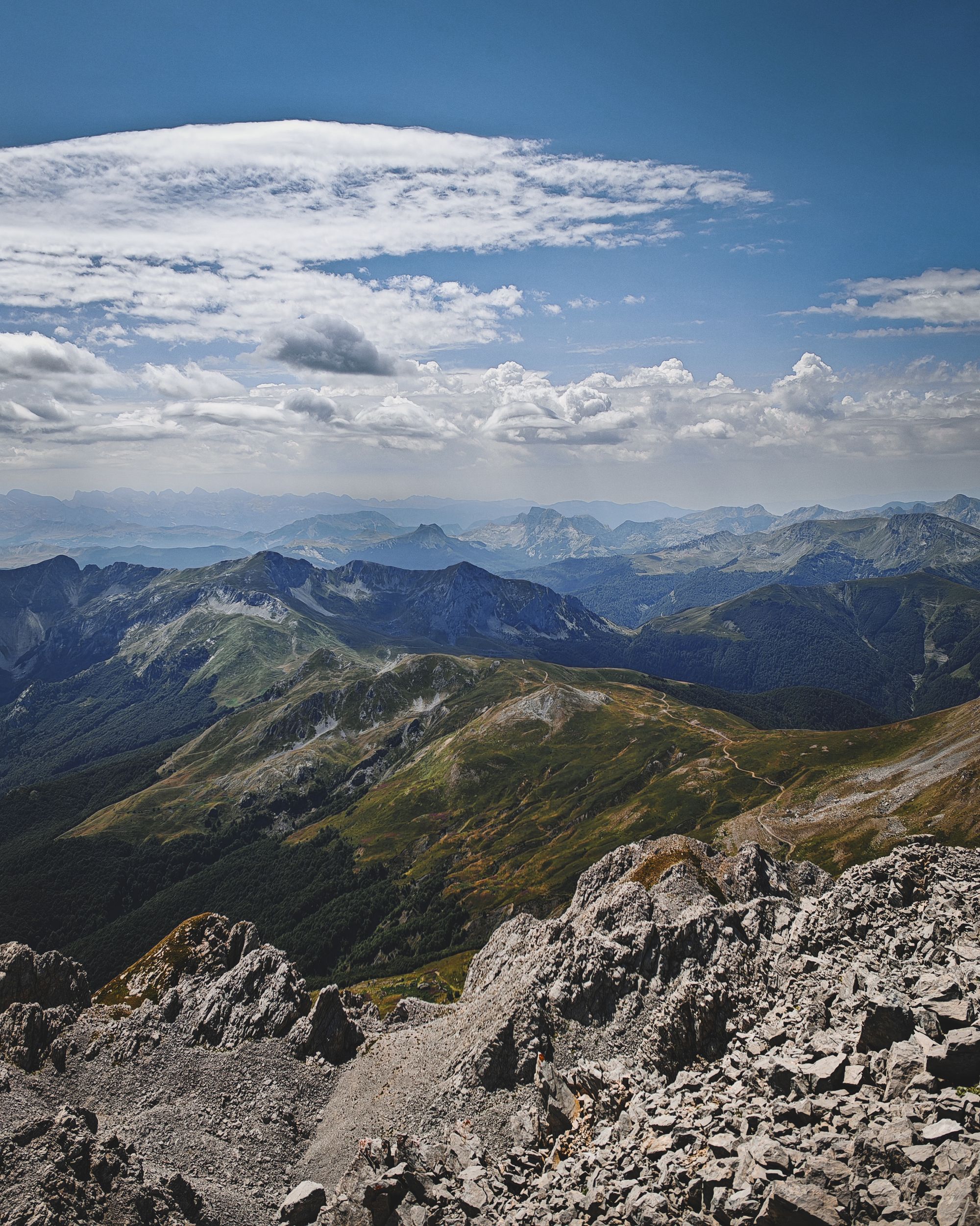
Past Gusinje, one valley path from Vusanje runs past a waterfall to a mountain lake, and the peaks above it are among the hardest climbs in Montenegro. You come to Prokletije to walk.
Read the guide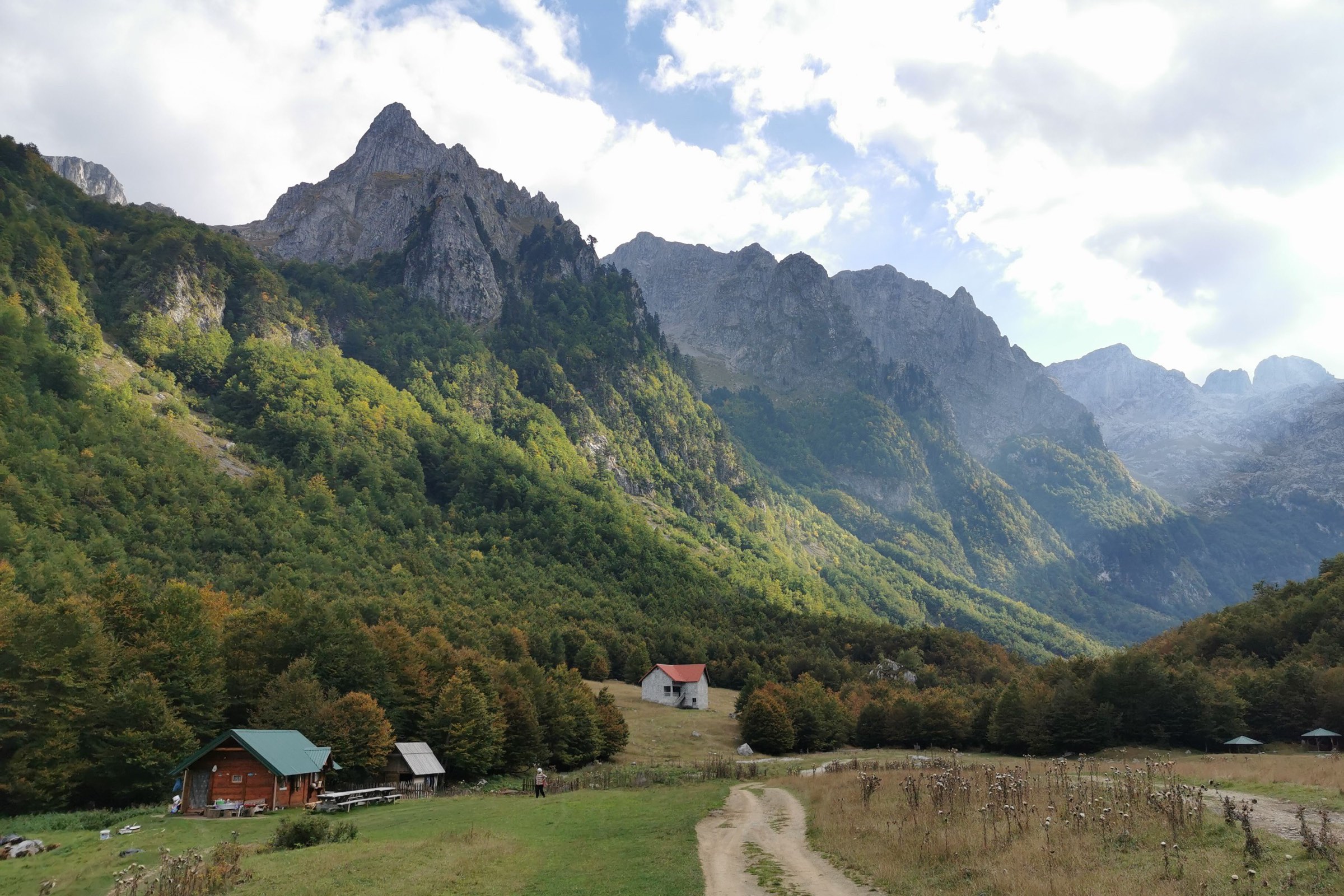
Stay in Gusinje and a river rising out of the ground is a walk from your door. The Karanfili walls at Grebaje and a waterfall dropping into a gorge at Vusanje are short drives.
Town guide, Montenegro. Meridian Dispatch.
Ninety seconds on Gusinje
Three nights. Give two days to the springs and waterfalls around Vusanje and to the Grebaje valley. The third is for Lake Plav, or for the walk up to Hridsko Jezero, which fills the whole day.
Not in the town, but it helps beyond it. Grebaje lies about 7 km away on an unshaded road with no pavement, close to two hours on foot each way, so plan a car or a lift to the trailhead. Buses from Podgorica run as far as Plav, and Gusinje is 10 km on.
June to September, when the high trails are usually clear of snow. May and October still work for the springs, the waterfall and the walks on the valley floors. The summit season is shorter, mid-June to September, and the national park's visitor centre in Plav has route information and guides.
Montenegrin is the official language. The town is mostly Bosniak with a large Albanian community, so Bosnian and Albanian are both spoken in the street.
The currency is the euro. The Prokletije National Park ticket is sold online by Nacionalni parkovi Crne Gore, the national parks agency, at ulaznice.nparkovi.me. Carry cash for meals beyond the town: the seasonal restaurant beside Ali Pasha Springs does not take cards.
Podgorica, TGD. The drive runs through Kolašin, Mojkovac, Berane and Andrijevica to Plav, then on to Gusinje: about 180 km and roughly three and a half hours.
Stay in Gusinje if you came to walk in the Prokletije: its two best valleys, Grebaje and Vusanje, start a short drive south of town. If you want a lake on foot from your room and a first summit on marked paths, stay in Žabljak.
See all towns in MontenegroCompare Montenegro town by town
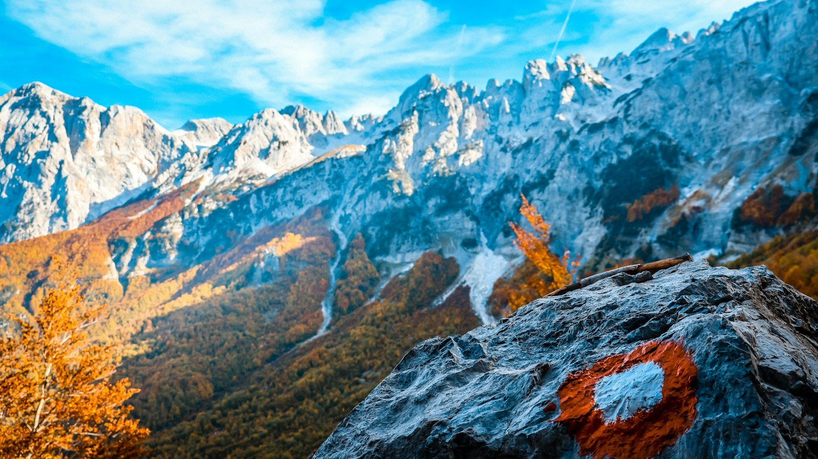
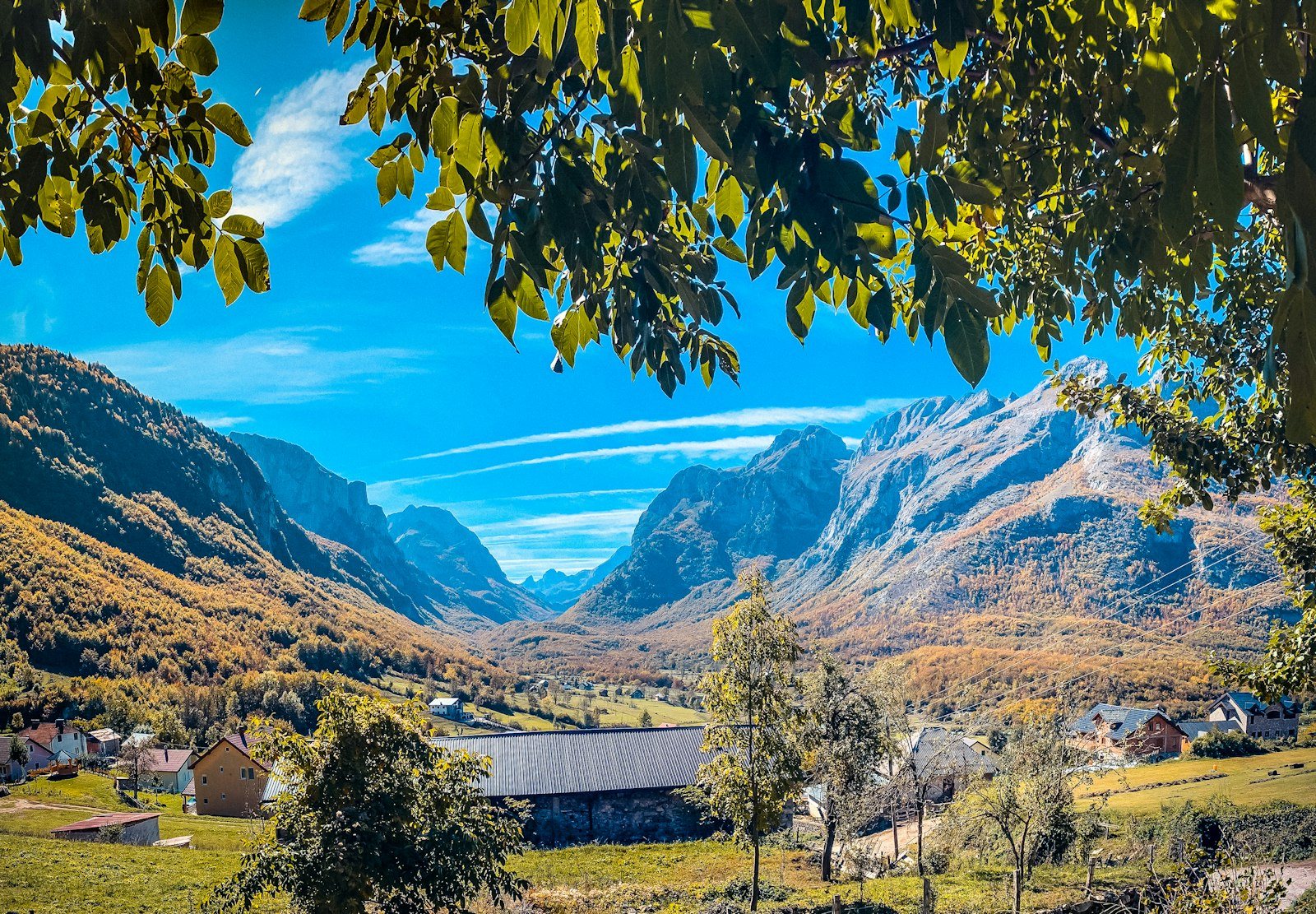
Gusinje sits at the top of the Lim valley, with the Prokletije rising straight behind it. One spring is a walk from the centre; the valleys, the waterfall and the lakes are short drives.
2,534 metres
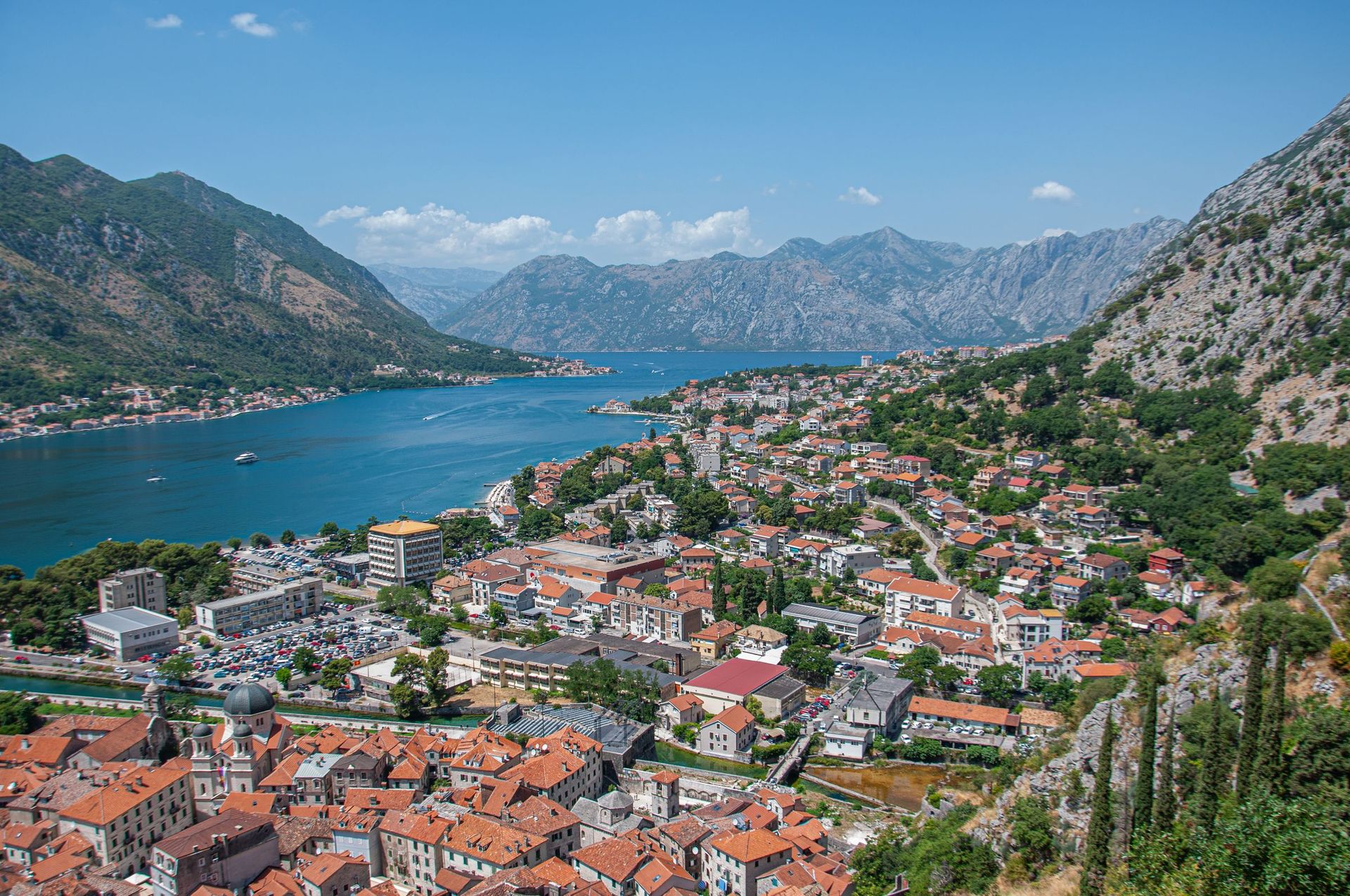
Kolašin is about 80 km up the road from Podgorica airport, on the drive to Gusinje, so a hotel night there breaks the journey in two.
The springs and the waterfall make easy half days. The valleys and the high lakes are full days on foot, so each tab gathers one kind of day.
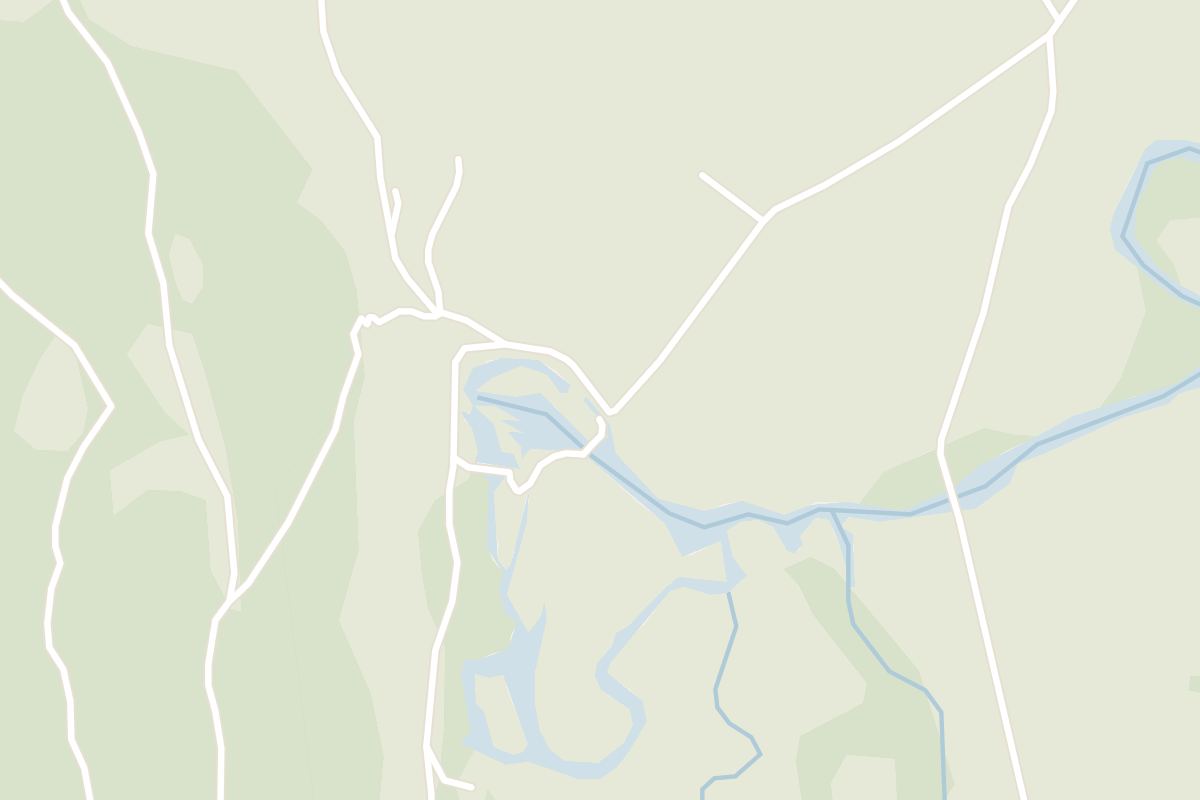
Ali Pasha Springs is a walk from the centre. Vusanje and the Grebaje road end are short drives south, and Plav is a short drive north-east.
Past Gusinje, one valley path from Vusanje runs past a waterfall to a mountain lake, and the peaks above it are among the hardest climbs in Montenegro. You come to Prokletije to walk.
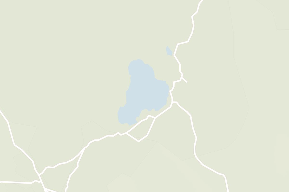
Read the guideMontenegro's largest glacial lake, on the edge of Plav with the Prokletije peaks behind it. Swim or take a kayak out in summer, then follow the path along the shore.
Read the guideIn the village of Vusanje, just before the Ropojana Valley, the Grlja river falls straight into a tight, deep canyon. It is one of the two natural sights that bring visitors to Gusinje.
Read the guideA short walk from Gusinje, clear water rises out of the ground and gathers into the Vruja river. A small seasonal restaurant beside the springs opens roughly June to September and does not take cards.
Read the guideFrom the end of the Grebaje road, this loop of about eleven kilometres climbs through beech forest to the Volušnica viewpoint and on over Talijanka and Popadija, two summits on the Albanian border, facing the Karanfili across the valley.
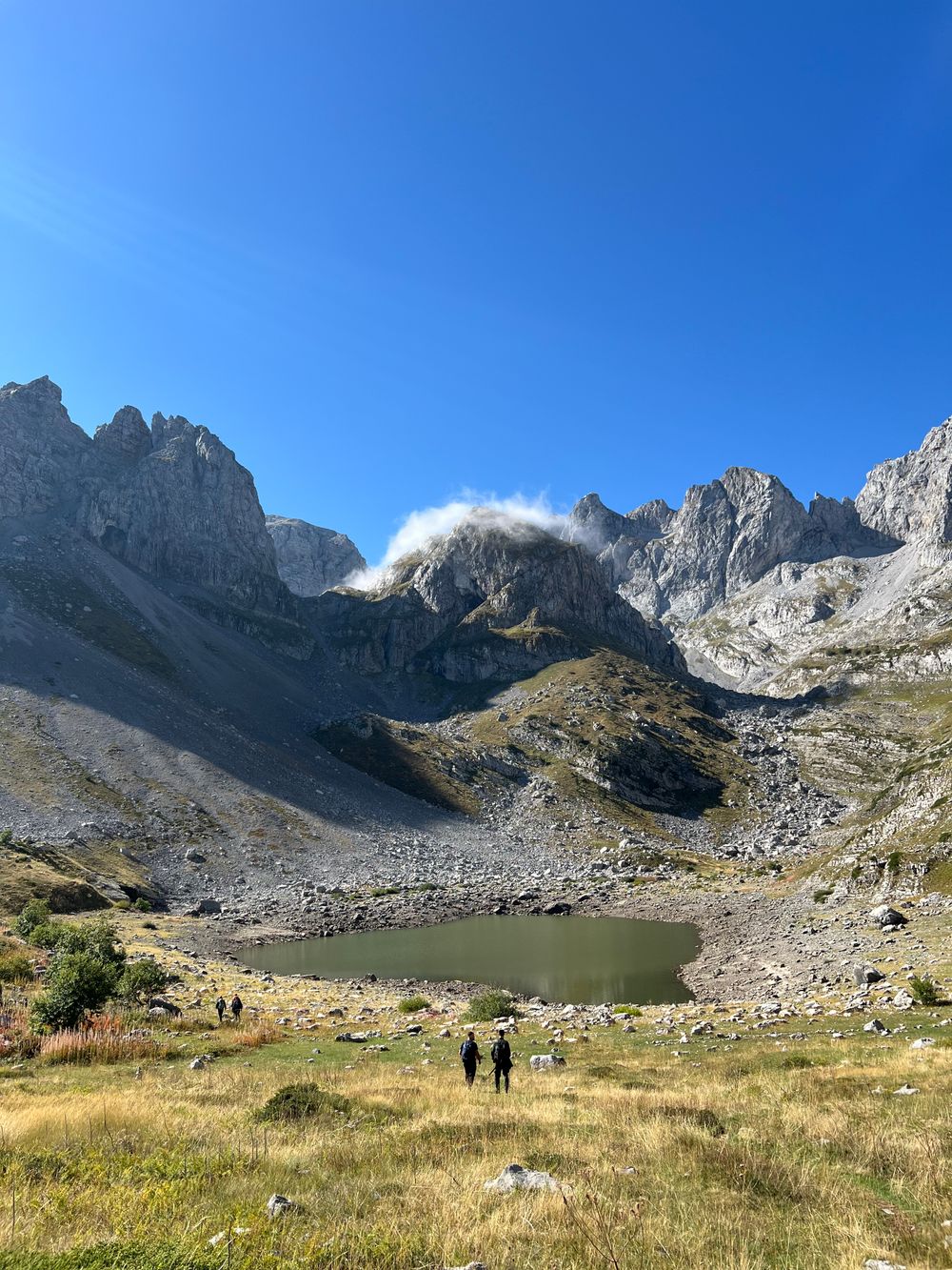
Close to two thousand metres up in the mountains above Plav, this glacial lake can only be reached on foot, through beech and spruce forest and over high pasture.
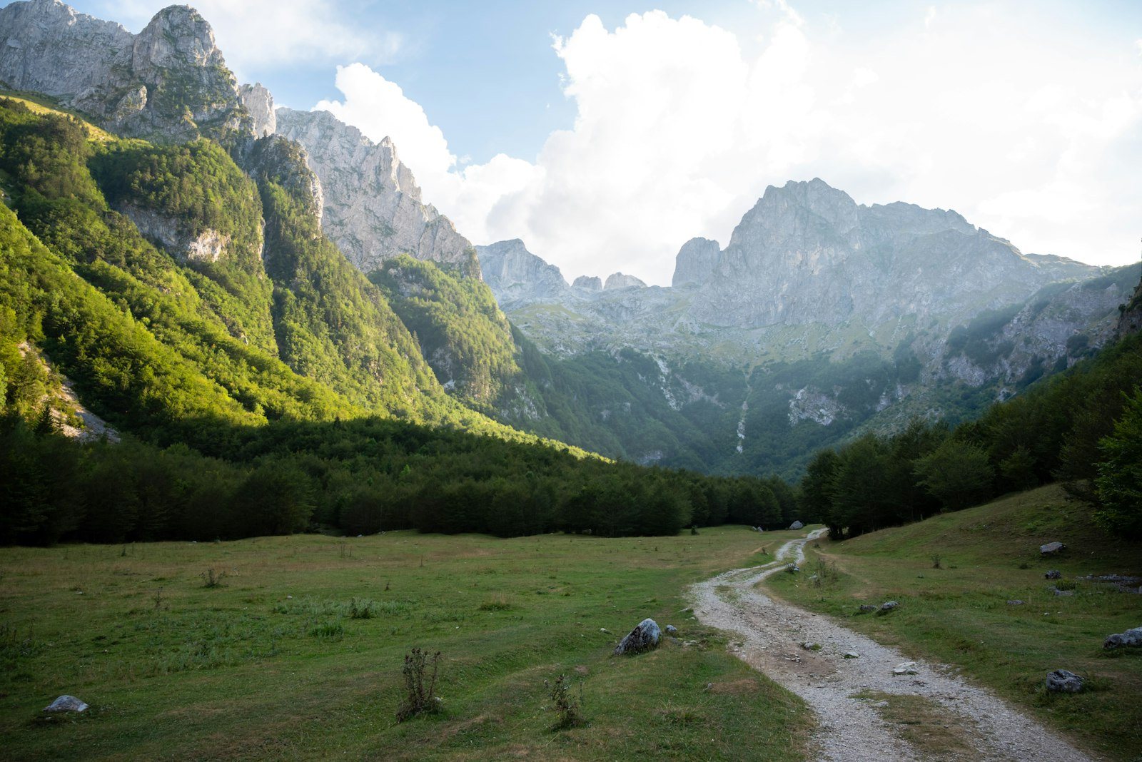
The Grebaje valley sits under the pale walls of the Karanfili peaks, about seven kilometres by road south of Gusinje.
A forest path of twenty to thirty minutes follows the Skakavica river from Vusanje to its source in the Ropojana valley: a round karst spring of clear blue-green water, about eight metres deep at its centre.
Past Vusanje an unpaved road runs up this valley, part of the Peaks of the Balkans network. The path passes the Grlja Waterfall and Oko Skakavice and ends at Lake Ropojana, roughly 7 km in.
Three easy stops on flat ground, all fine in trainers. Spring and early summer bring the most water.
In the village of Vusanje, just before the Ropojana Valley, the Grlja river falls straight into a tight, deep canyon. It is one of the two natural sights that bring visitors to Gusinje.
Read the guideA short walk from Gusinje, clear water rises out of the ground and gathers into the Vruja river. A small seasonal restaurant beside the springs opens roughly June to September and does not take cards.
Read the guideA forest path of twenty to thirty minutes follows the Skakavica river from Vusanje to its source in the Ropojana valley: a round karst spring of clear blue-green water, about eight metres deep at its centre.
The road ends in a meadow under the Karanfili, and the park's marked routes start there. The shepherds' huts serve simple lunches in summer.
Past Gusinje, one valley path from Vusanje runs past a waterfall to a mountain lake, and the peaks above it are among the hardest climbs in Montenegro. You come to Prokletije to walk.
Read the guideFrom the end of the Grebaje road, this loop of about eleven kilometres climbs through beech forest to the Volušnica viewpoint and on over Talijanka and Popadija, two summits on the Albanian border, facing the Karanfili across the valley.
The Grebaje valley sits under the pale walls of the Karanfili peaks, about seven kilometres by road south of Gusinje.
Volušnica and Popadija are the peaks climbed most often, both from Grebaje. Summit season runs mid-June to September; for the Karanfili or Zla Kolata, the park visitor centre in Plav offers guides.
Past Gusinje, one valley path from Vusanje runs past a waterfall to a mountain lake, and the peaks above it are among the hardest climbs in Montenegro. You come to Prokletije to walk.
Read the guideFrom the end of the Grebaje road, this loop of about eleven kilometres climbs through beech forest to the Volušnica viewpoint and on over Talijanka and Popadija, two summits on the Albanian border, facing the Karanfili across the valley.
The paved road from Gusinje ends at Vusanje, and an unpaved road runs on up the Ropojana valley. The waterfall comes first, then the spring, and the path ends at Lake Ropojana.
In the village of Vusanje, just before the Ropojana Valley, the Grlja river falls straight into a tight, deep canyon. It is one of the two natural sights that bring visitors to Gusinje.
Read the guideA forest path of twenty to thirty minutes follows the Skakavica river from Vusanje to its source in the Ropojana valley: a round karst spring of clear blue-green water, about eight metres deep at its centre.
Past Vusanje an unpaved road runs up this valley, part of the Peaks of the Balkans network. The path passes the Grlja Waterfall and Oko Skakavice and ends at Lake Ropojana, roughly 7 km in.
The big lake lies below Plav's old centre. Hridsko Jezero is a long day on foot in the mountains above the town.
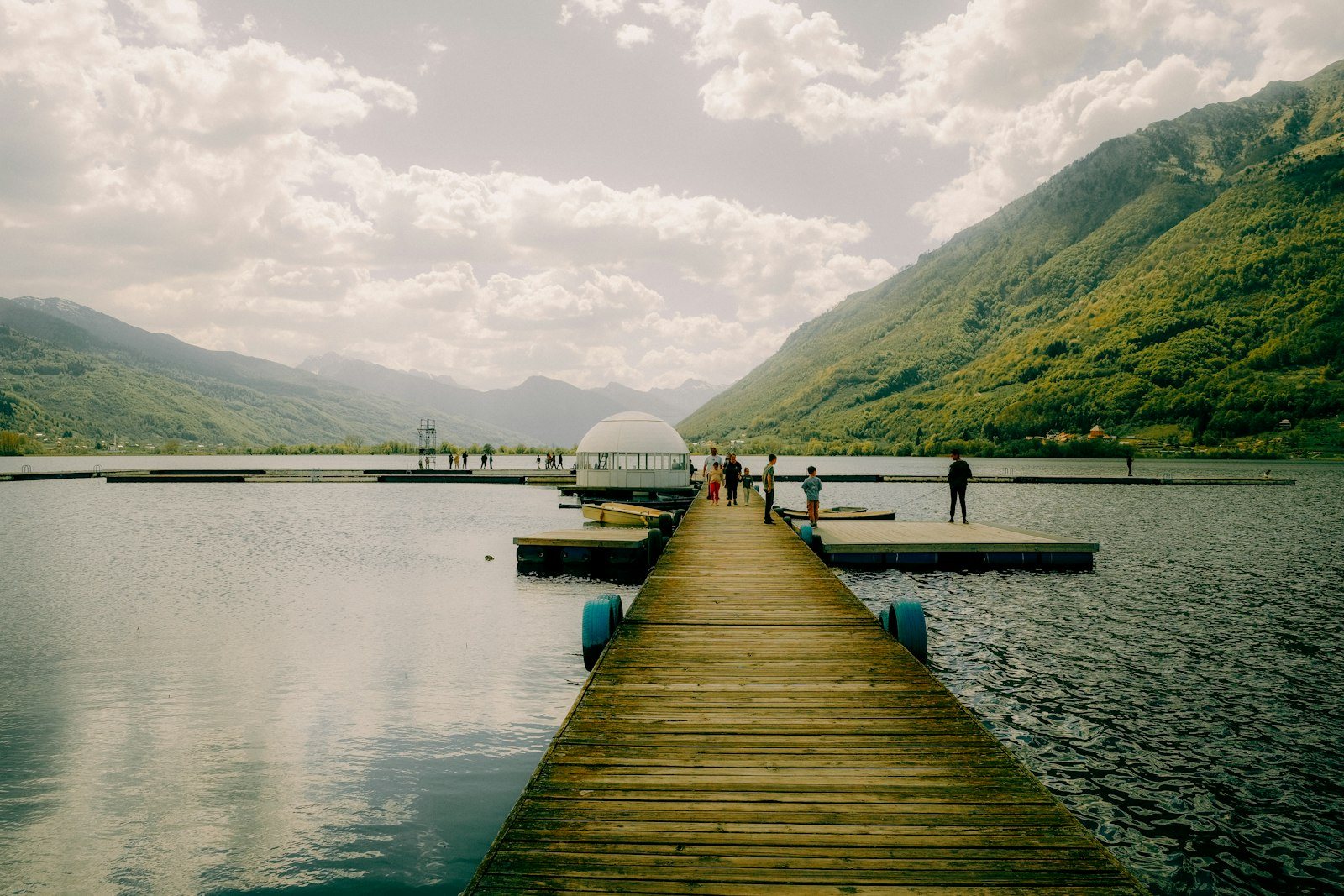
Montenegro's largest glacial lake, on the edge of Plav with the Prokletije peaks behind it. Swim or take a kayak out in summer, then follow the path along the shore.
Read the guideClose to two thousand metres up in the mountains above Plav, this glacial lake can only be reached on foot, through beech and spruce forest and over high pasture.
Walk out to Ali Pasha Springs after breakfast. From the centre take the road towards Ćosovići and turn right off it, and the pools come into view soon after. Fill an empty bottle where the water rises: it is clean enough to drink.
Then drive south to Vusanje and leave the car in the field at the mouth of the Ropojana valley. The Grlja Waterfall drops into its gorge a few steps from the cars, and a restaurant stands beside it.
From the falls, a flat path runs about 1 km up the valley to Oko Skakavice, the round blue spring. Walk back the same way, or carry on up the Ropojana valley if you have the afternoon.
Keep a second day for the Prokletije National Park at Grebaje. Buy the park ticket online before setting off, on ulaznice.nparkovi.me. Then drive the 7 km to the road end, because the walk up the road has no shade or pavement and takes close to two hours each way. Waymarks are patchy off the main paths, so carry a downloaded map.
Lake Plav is not in Gusinje but at Plav, 10 km away. Park along the shore and swim off the raft platform in summer, then walk up into Plav for its Old Mosque.
Podgorica is the nearest airport. Gusinje is in the far east of the country, against the border with Albania, so plan the drive as part of the day.
Collect the car at the airport and keep it for the trip: Grebaje, Vusanje and Plav are all drives from Gusinje.
Buses to Plav leave from Podgorica, not the airport, so take a taxi into the city first. The ride takes four and a half to five hours, and Gusinje is 10 km on from Plav.
Every Montenegro town, place and dispatch, on one map.

Ski slopes in winter and one of Europe's last primeval forests in summer both lie a short drive from this mountain town.

The capital, and the arrival point for most flights into the country.

You cross the Morača here on a cable-stayed bridge hung from one leaning 57-metre pylon, which stands out against a low-rise city.
Last updated