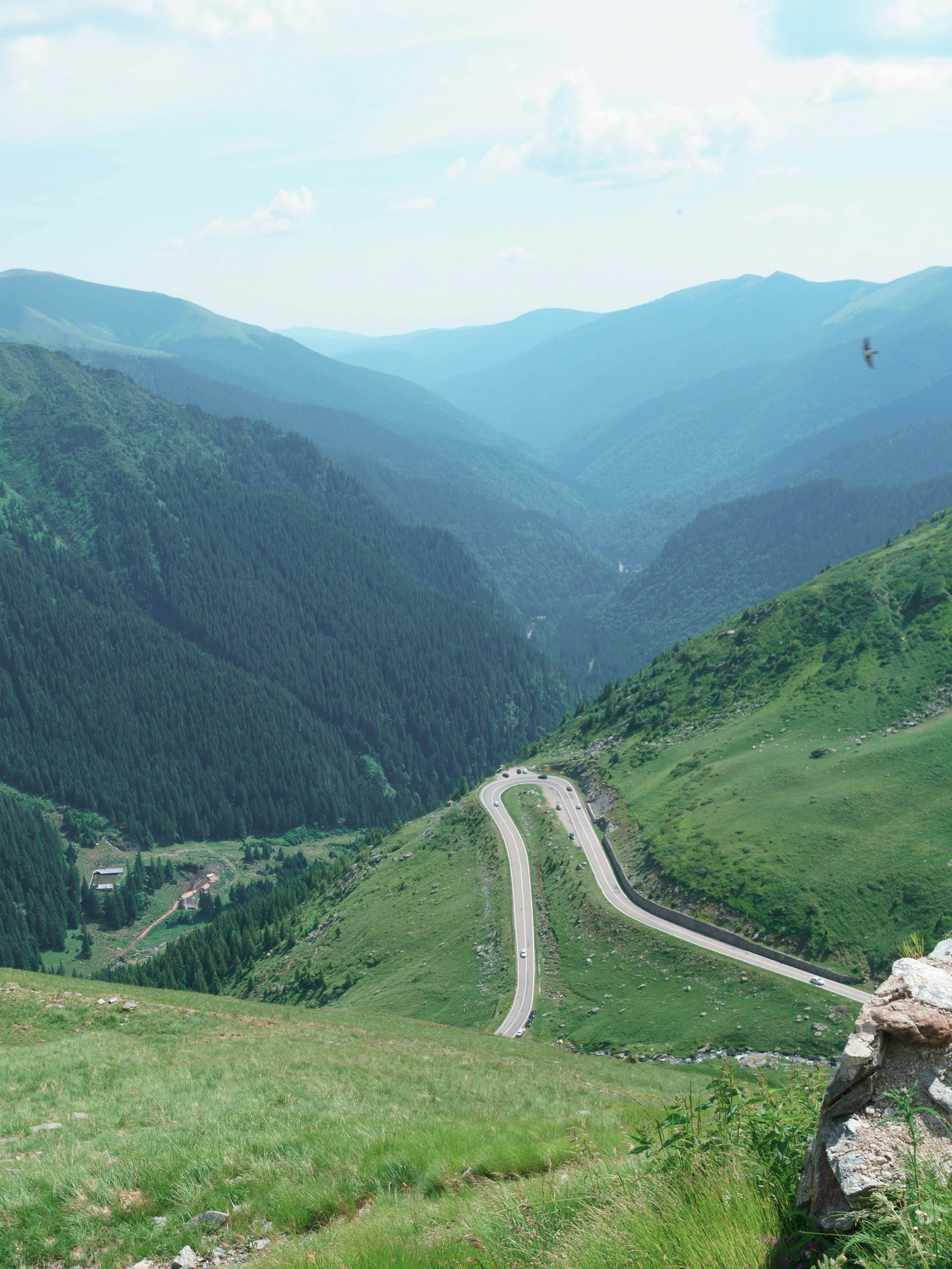
115 km over the Făgăraș range
Drive it north to south and set off before ten. You climb out of the forest in hairpins to a glacial lake at the top of the range, go under the ridge in Romania's longest road tunnel, and spend the afternoon on the long descent past a dam and a cliff-top fortress.
The line is the driving route through the same points the Google Maps links use, every one of them on the road itself, drawn on OpenStreetMap. Distances are measured along it from the start of the DN7C at Cârțișoara.
It goes over the Făgăraș mountains rather than around them. The road was built in the early 1970s, and nearly all of it is hairpins, which is why the speed limit is forty for most of its length and why three hours of driving takes a full day.
The northern climb is the famous half. From the Bâlea waterfall the road zigzags up an open valley above the trees to Bâlea Lac, the glacial lake at the top, then goes under the ridge through the longest road tunnel in Romania, 887 metres. Cloud often sits on the north side, and the weather is frequently better once you come out of the tunnel.
The south is longer and gentler, through forest to the Vidraru dam, finished in 1966, with a statue of Prometheus above it and boat trips on the lake in summer. Further down is Poenari, the fortress most closely tied to the real Dracula: 1,462 steps up, visited only with the park's rangers, and only in summer.
Before ten in the morning the traffic moves freely. Between eleven and three, especially at weekends, it backs up around the lake and the waterfall where the parking is, and the last week of August is a public holiday and the heaviest traffic of the year.
The high section, between Bâlea Cascadă in the north and Piscu Negru in the south, closes with the snow, normally from the start of November to the start of July. Outside that window the road below those points stays open, and a cable car runs from the waterfall up to the lake.
Where to base yourself at either end
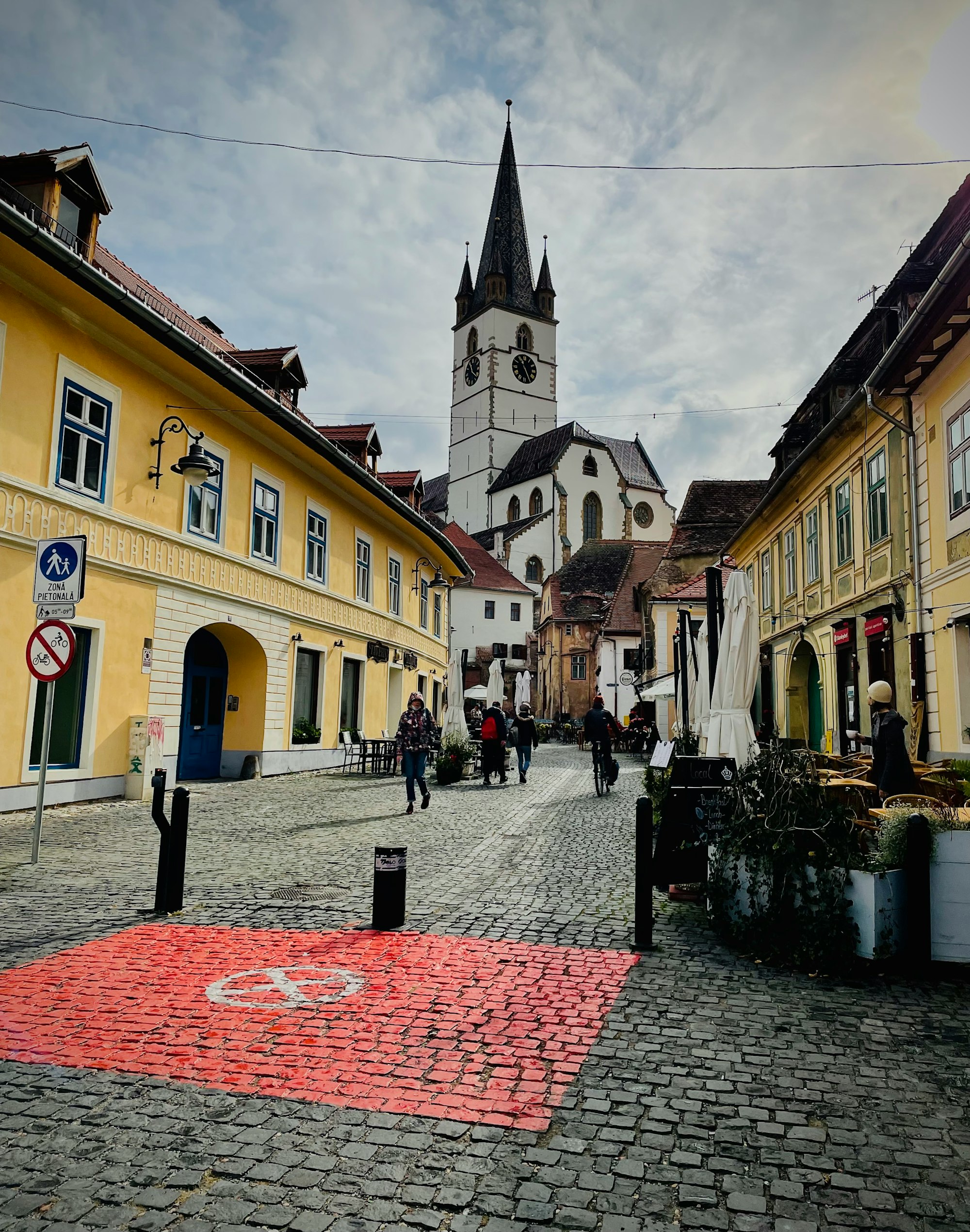
The usual base for the drive, about 45 minutes from the start at Cârțișoara.
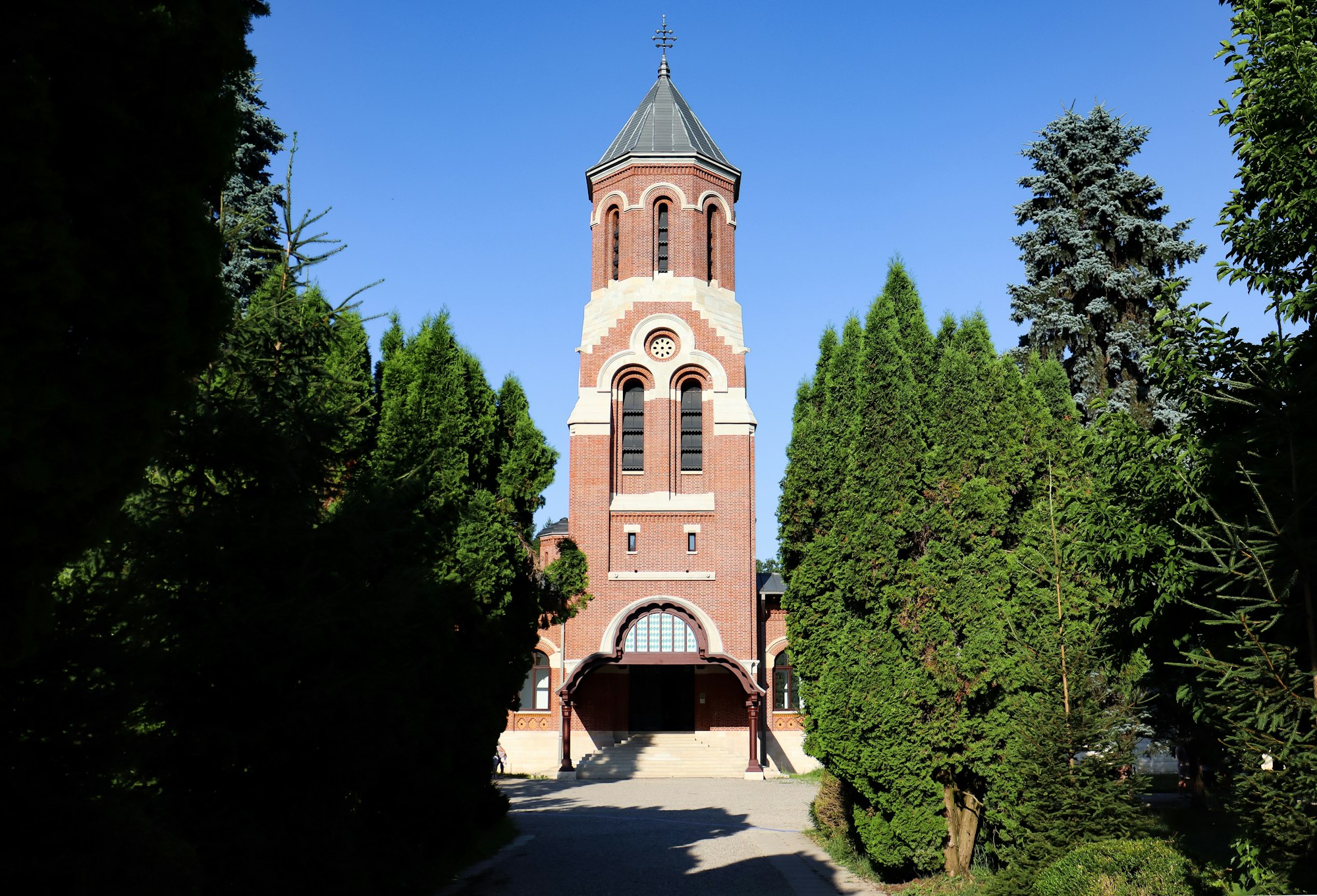
Where the drive comes down out of the mountains, a town to stop the night on the way south.
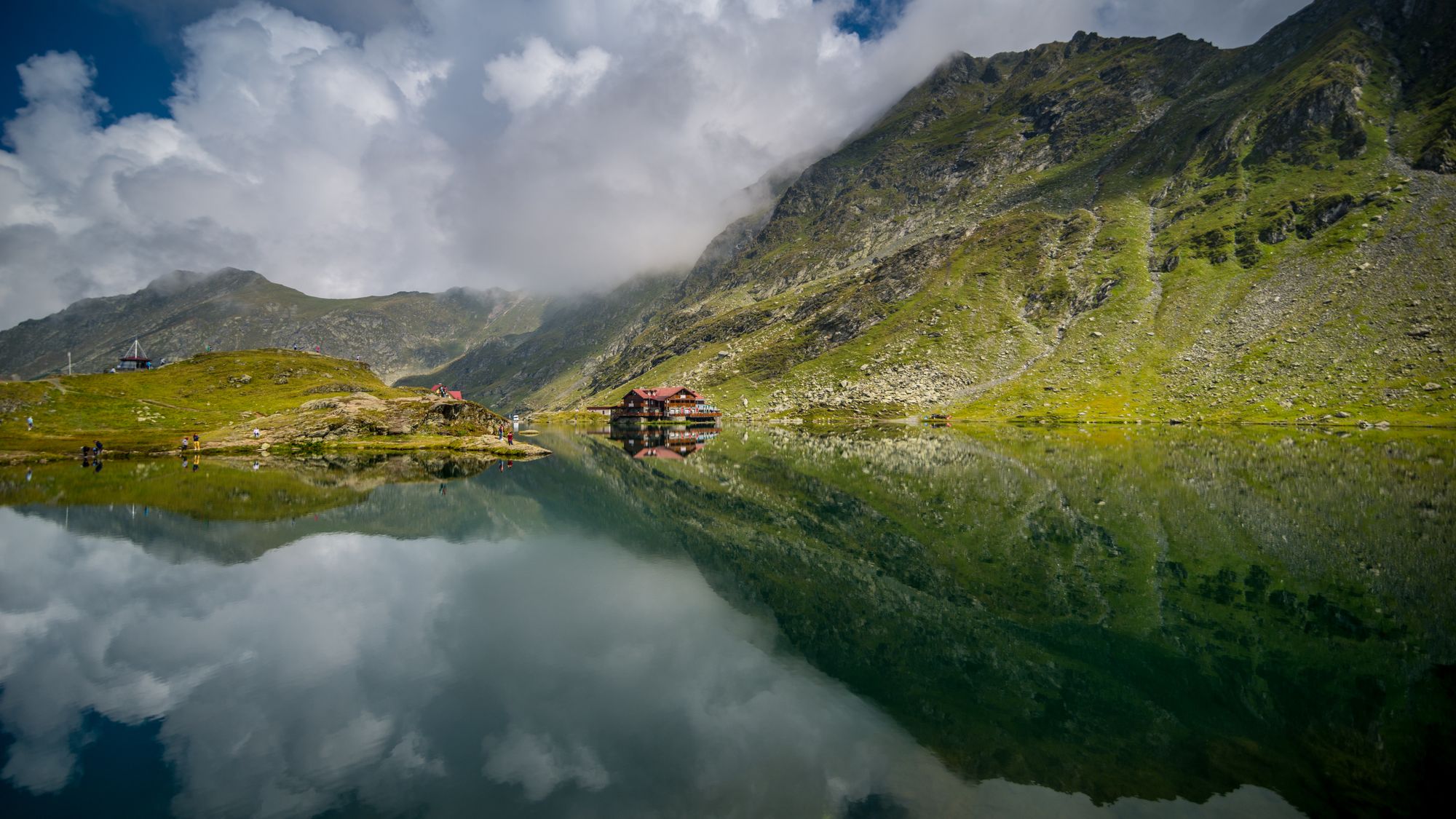
The glacial lake at the summit, for a longer stay than a stop in the car park.