6.7 km from the shuttle stop to El Chorro
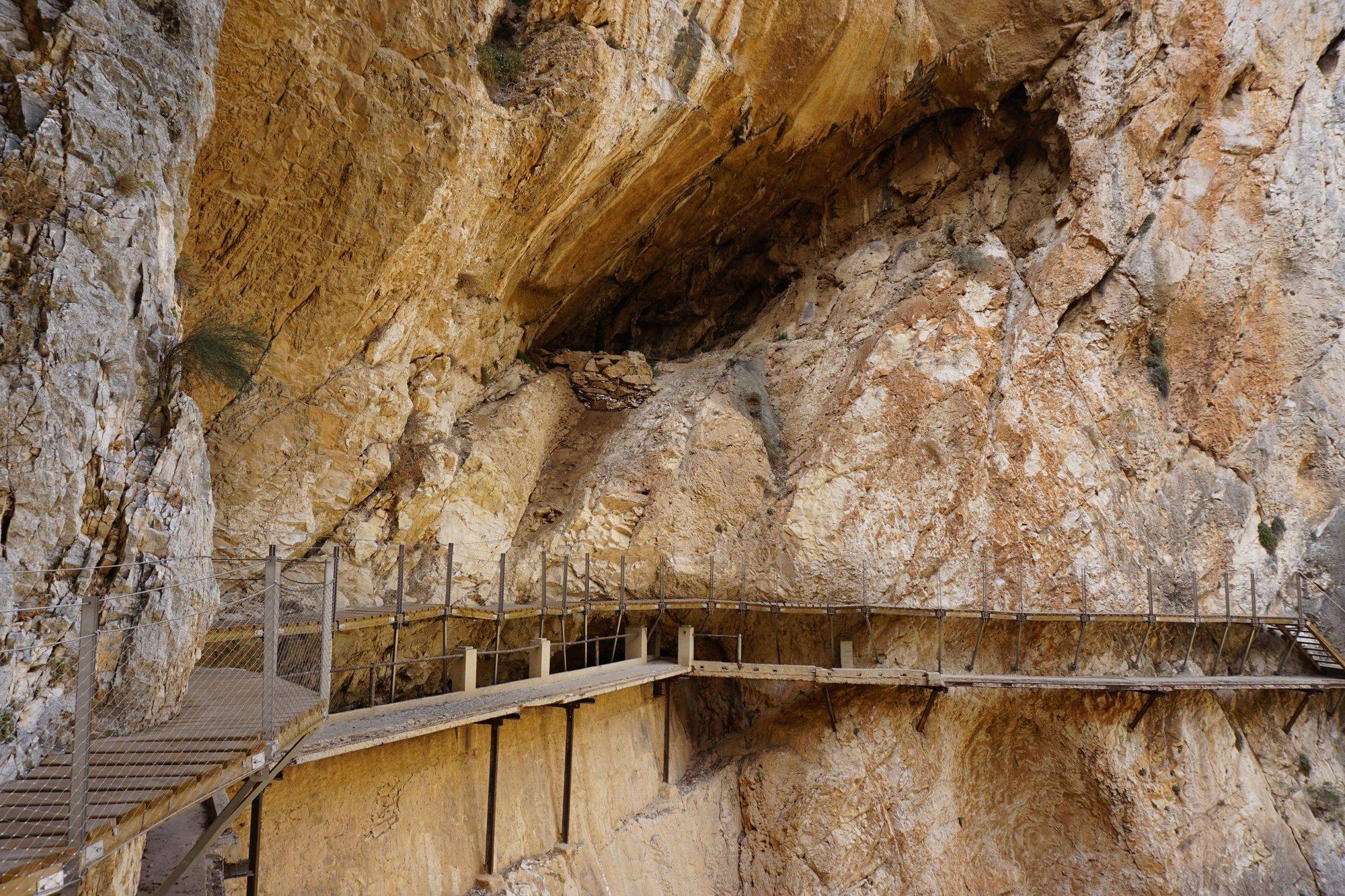
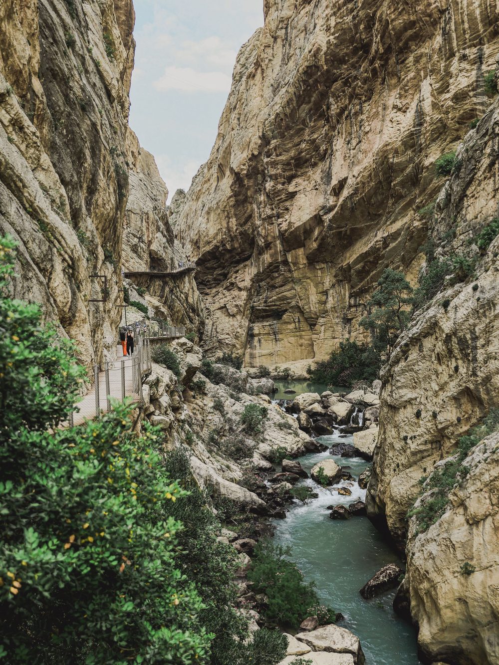
Early in the morning, before the heat, you can walk a narrow boardwalk on the wall of a limestone gorge more than 100 metres above the river, then cross it on a hanging bridge.
The route is from OpenStreetMap. Of the two ways from the shuttle stop to the entrance, it takes the shorter one, through a small tunnel, and it finishes over the suspension bridge and down the track to El Chorro. In the gorges and the tunnel the terrain model measures the rock above the path, so those stretches are drawn straight, and the chart shows the shape of the walk rather than exact heights.
Gaitanejo, the first gorge, is barely 10 metres wide, and the boardwalk runs along one wall with the old concrete path just below it. Beyond it the walls open into the Valle del Hoyo, a pine wood crossed on an earth path, with benches to rest on.
The best of it comes last, in the Gaitanes gorge. There is an exposed run of boardwalk, a balcony with a glass floor, and a hanging bridge, 35 metres long, with a grille floor you can see the river through.
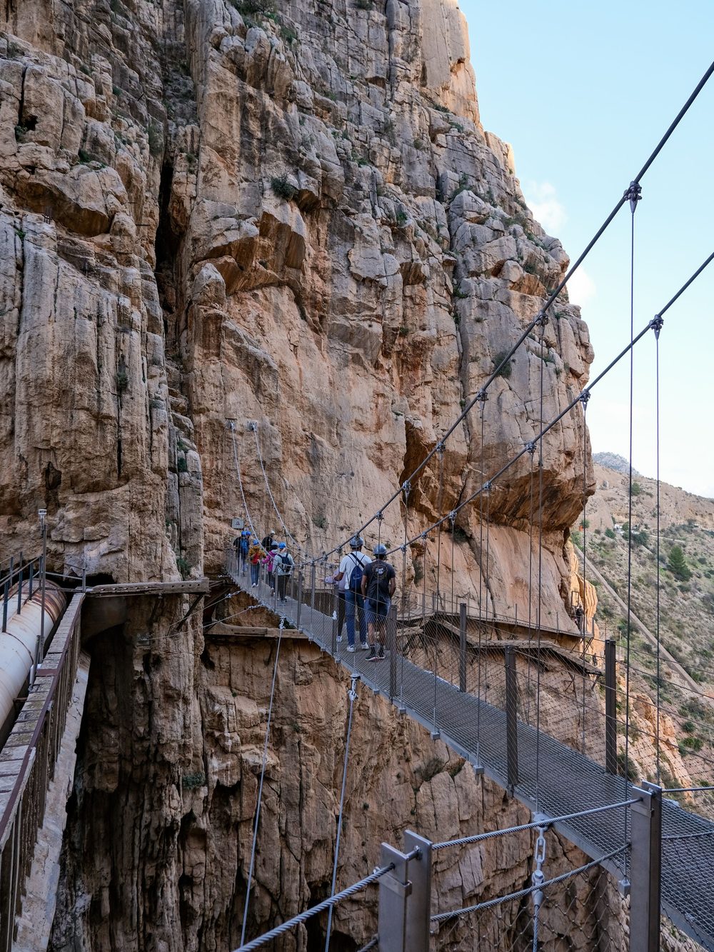
Near the end, a 110-metre suspension bridge carries you across the gorge to the track down to El Chorro. The steeper old way down stays open if you would rather not cross.
Expect company on the walkway: guided groups move slowly and passing is tight.
The route is mostly downhill, with short climbs. Any reasonably fit walker can manage it. The height is the real test: the official advice is not to go if you suffer from vertigo.
The way in is a gravel track and a lit tunnel. Both gorges are boardwalk, the valley between them is an earth path, and there are steps where the path changes level. The boardwalks are narrow, so keep to the right and pass with care.
Two towns inland, then the city the train leaves from
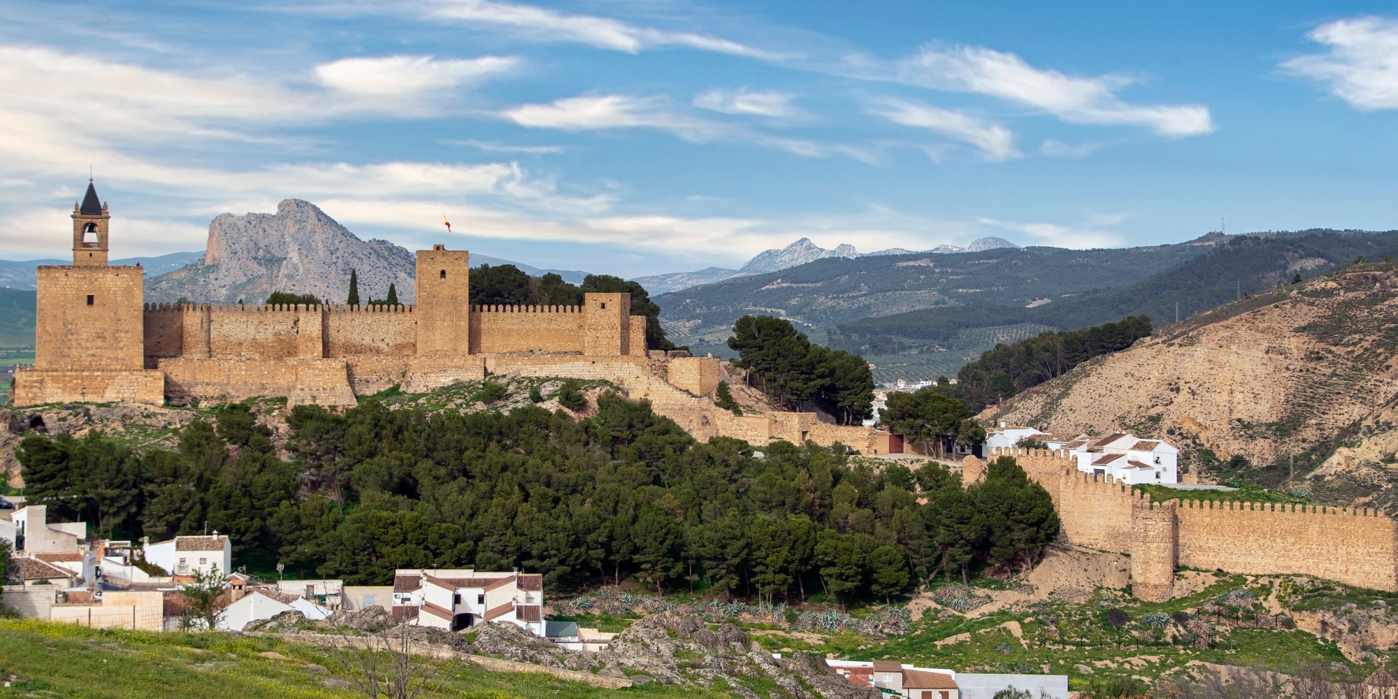
Three prehistoric burial chambers on the edge of town, and El Torcal, a nature reserve of strange limestone shapes, in the hills above.
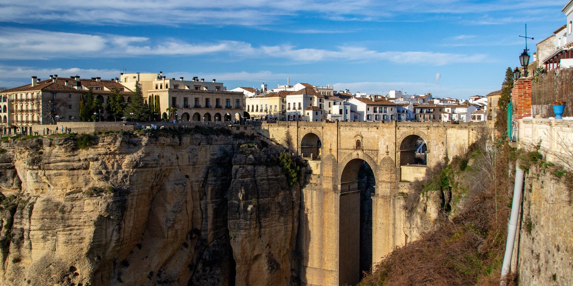
A town split by a deep gorge with a bridge across it. Stay the night to see it after the coach tours have gone.
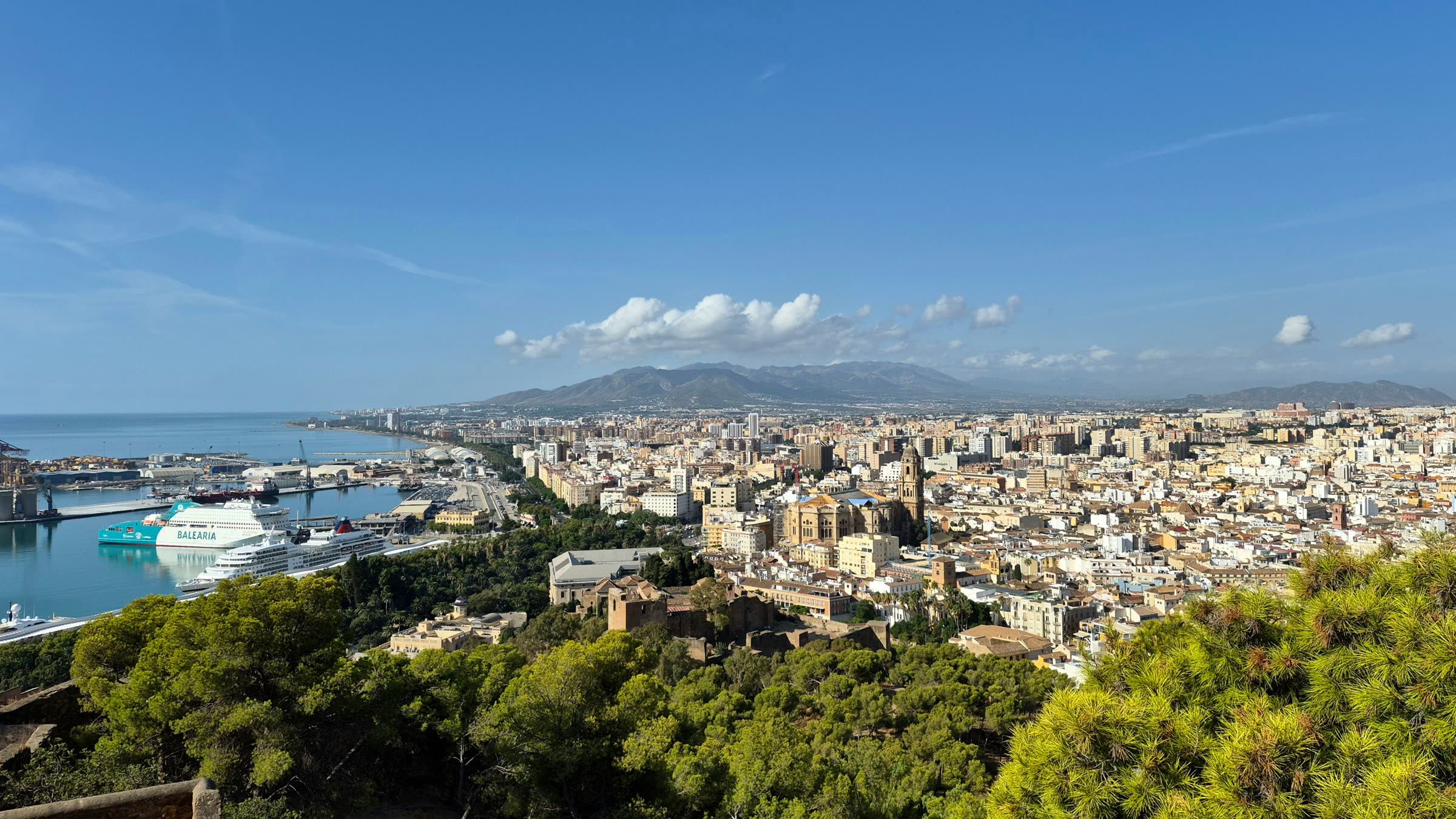
The trains to El Chorro leave from María Zambrano station, about 40 minutes away.