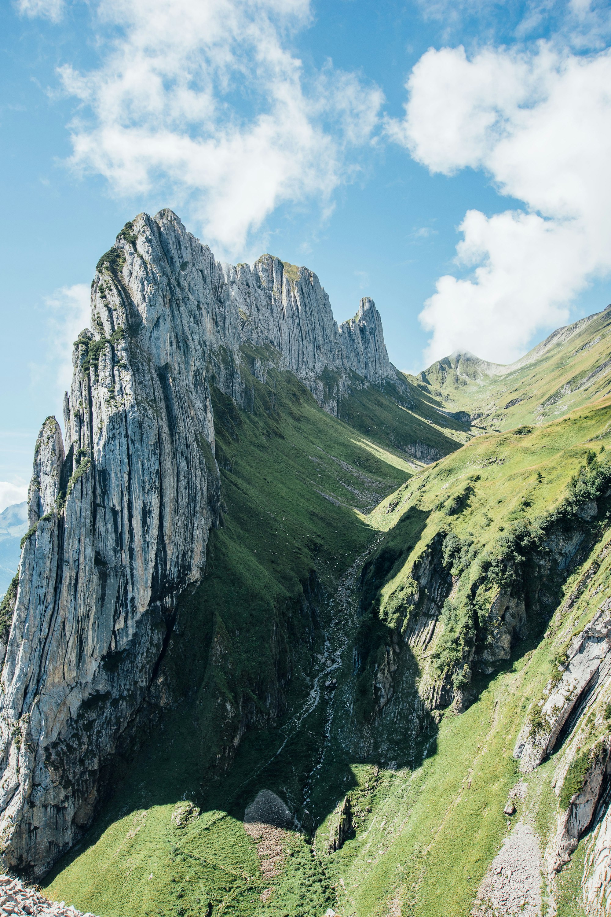
Ninety seconds on Saxer Lücke
Walk the Alpstein crest from Staubern to this narrow cleft, where the ground drops away through the gap to the Rhine valley and, on clear days, Liechtenstein and Austria beyond.
Saxer Lücke is a clean gap in the southern ridge of the Alpstein, right on the border of Appenzell Innerrhoden and St. Gallen. It sits between the Hüser and the Kreuzberge.
Beside the notch rises the Kreuzberge, a row of jagged rock towers. Much of the Alpstein is limestone.
The notch sits on the Geological Trail, set up in 1971 as the first in Switzerland. Its 15 information boards explain in plain language how the Alpstein was formed, and point out fossils, weathered rock forms, folds and lakes that drain underground.
The best-known stop on the trail is the Sax-Schwende fault. Along it you can see where the eastern massif has shifted a few hundred metres against the rest of the range.
One small cable car does most of the climbing, from Frümsen in the Rhine valley up to Berggasthaus Staubern on the crest. From the top station you follow the ridge path to the notch, about an hour and ten minutes one way. The path stays on the crest the whole way, and the most exposed stretches have a cable and handrail.
There is nowhere to eat or drink at the notch itself. From the gap you can drop about 25 minutes to Berggasthaus Bollenwees on the Fälensee, where the Geological Trail ends, or walk back along the crest to Staubern.
With a full day, you can walk the whole ridge instead. Ride the Hoher Kasten cable car up, follow the crest past Staubern and the notch, and come down to Brülisau, a route of about five and a half hours that also works in reverse.
The Staubern cable car runs until 22:00 in summer, so you can watch sunset from the notch and still ride down. Carry a proper headtorch for the walk back, not your phone. The queue at the valley station can pass an hour in busy periods, so start early if you want the notch quieter.
Pack more food and water than you think you need, about a litre each plus snacks. Bring sturdy boots with treaded soles, sun and rain protection, warm layers, a first-aid kit and a phone, and tell someone your route before you set off.
Explore the rest of Appenzell
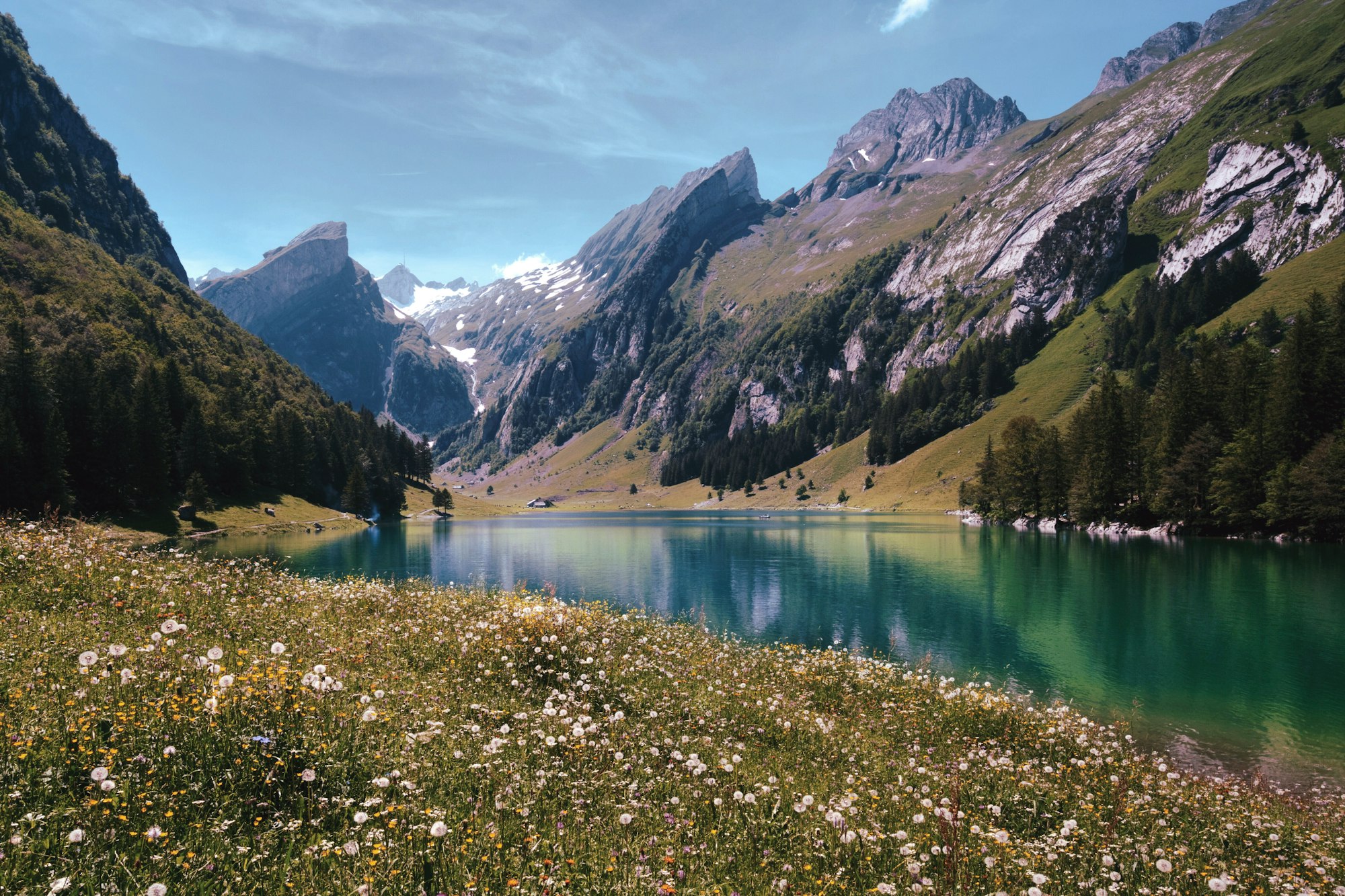
Painted house fronts, a narrow-gauge station and the Alpstein rising straight off the farmland make this small cantonal capital the base…
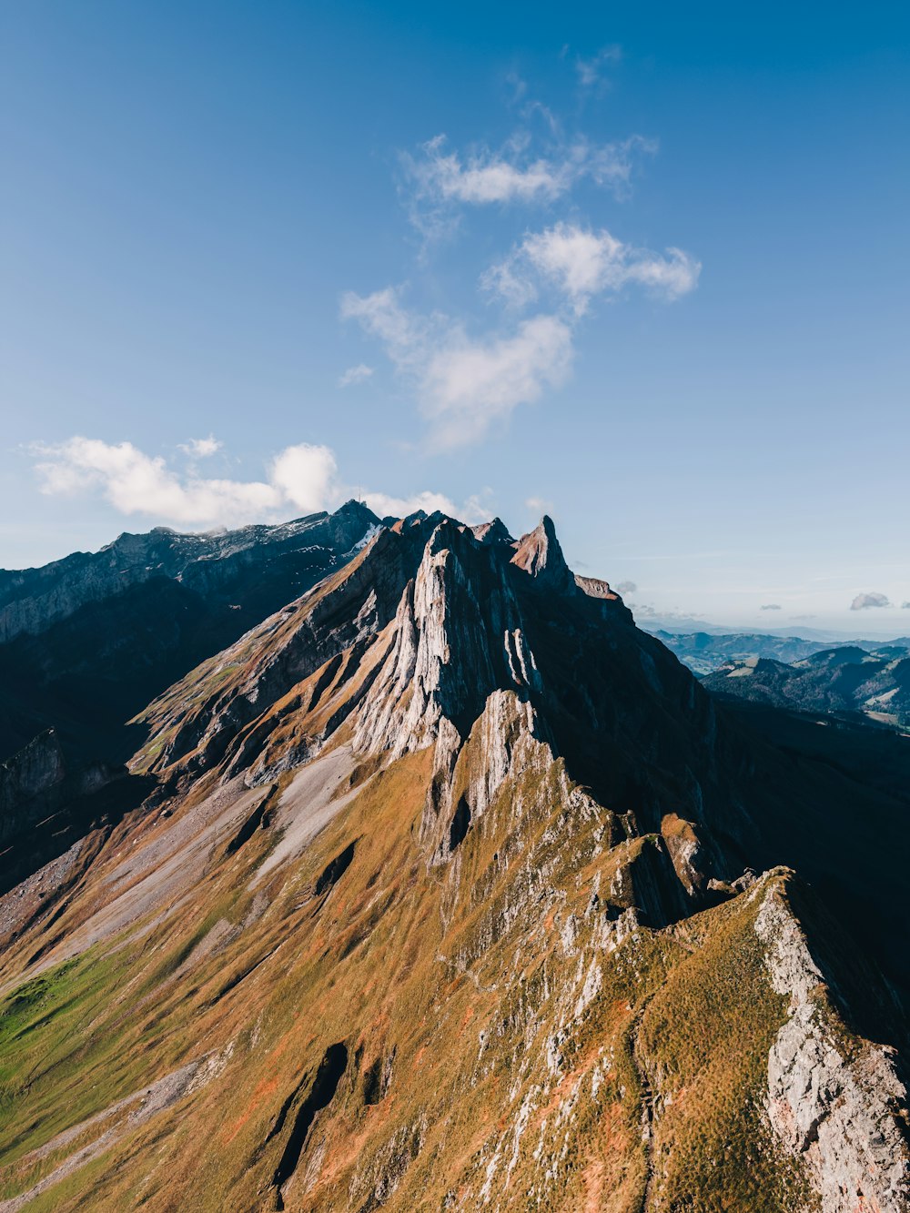
Above the Ebenalp cable car, a mountain inn stands alone on the narrow summit of the Schäfler at 1,924 metres, with a view across the…
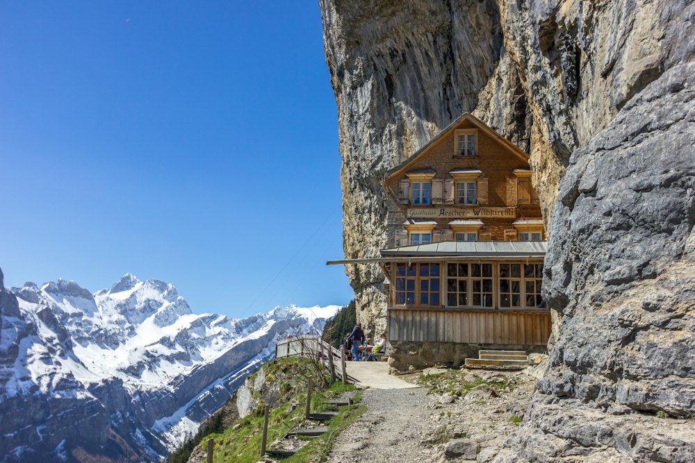
In Urnäsch, a short train ride from Appenzell, three joined houses hold the costumes, bells and herdsmen's rooms of Appenzell customs that…