 Submit a photo
Ninety seconds on Kaçkar Mountains National Park
Go up for the lakes. From the top of the yayla road, a day's walk climbs to glacial lakes high in the Kaçkar, ground no road from Ayder reaches.
The Kaçkar range rises to Kaçkar Dağı, at 3,937 m its highest peak, and the national park takes in its high ground. Ayder, at 1,350 m, is where climbs on the range's northern side begin.
The park holds about 100 glacial lakes, set in cirques and glacial valleys, along with dammed lakes. Ice carved this ground, and the Kaçkar is one of the rare places in Turkey where glaciers still exist. The lakes are the sight the park is best known for.
Nine villages and 33 yayla settlements sit inside the park, the summer pasture hamlets that dot its slopes. Kavrun, spread between 1,980 and 2,350 m, is the yayla the lakes walk starts from.
Local dolmuş minibuses leave the centre of Ayder in the morning, and a private transfer makes the same ride. Either one takes you to Yukarı Kavrun, where the road ends and the walk begins. Agree your ride back down before you set off.
From the yayla, the path climbs to the lakes above it. Fog can move in fast on the way down, so note the path as you climb and come back down the same way.
Take your time at the lakes before the descent. Back at Yukarı Kavrun, ride down to Ayder for the evening.
The trails are not marked, and many cairns mark many different paths, so the right one is hard to pick out. Hire a local guide unless you have experience of navigating in wild mountains.
A guide matters most on the long route to Lake Deniz, about 1,500 m of climbing in 6 hours, with almost no marking above the lake.
Nights at the yayla can fall to about 3°C at the end of the season in September, so bring warm layers if you sleep up there.
Snow can still lie around Lake Deniz in July, so wear boots with good grip if you go that high. With the trails unmarked, load the route onto a GPS app on your phone before you leave Ayder.
Explore the rest of Ayder
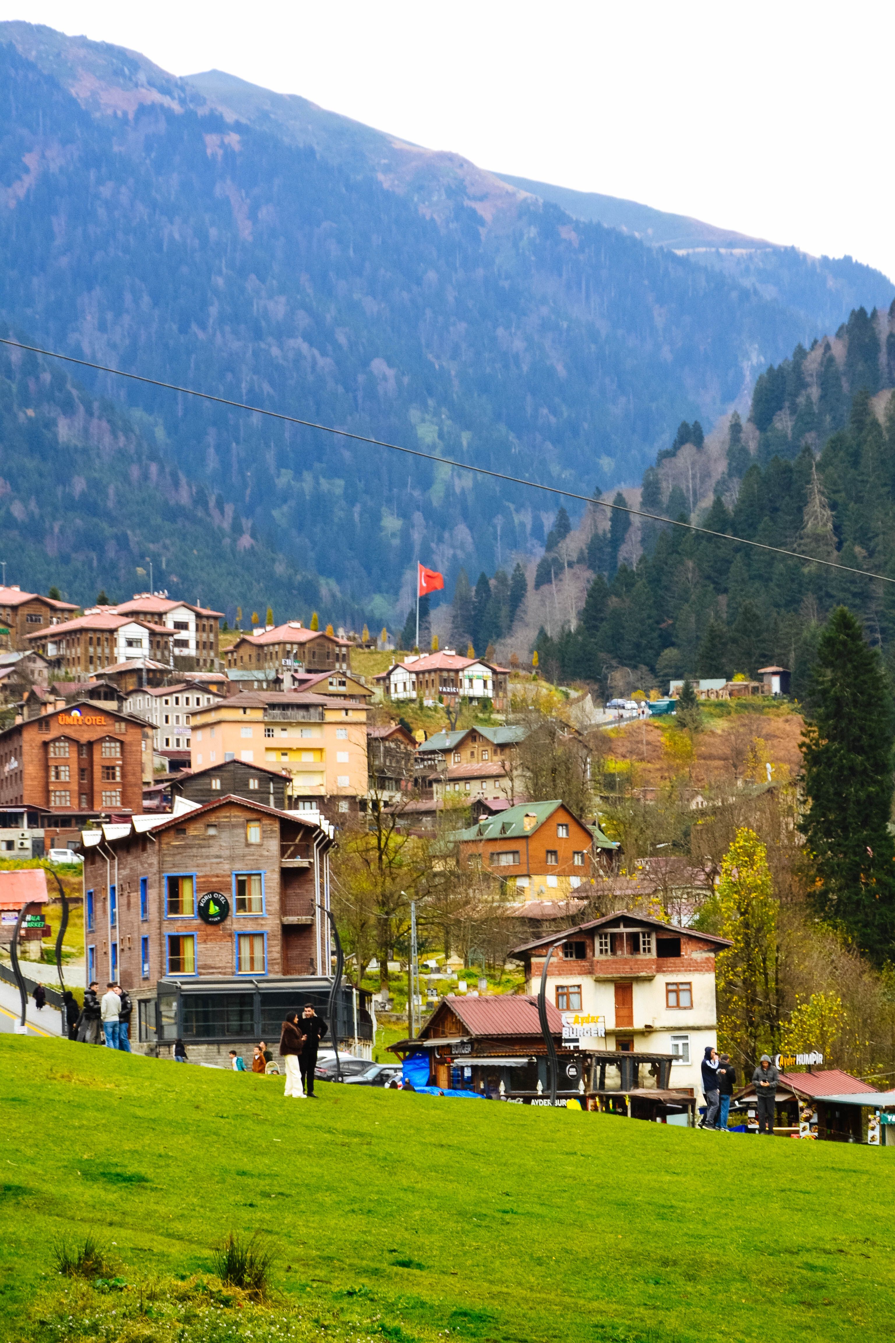
Spruce and beech forest closes around this highland meadow at 1,350 metres, where a hot spring rising at fifty degrees from deep…
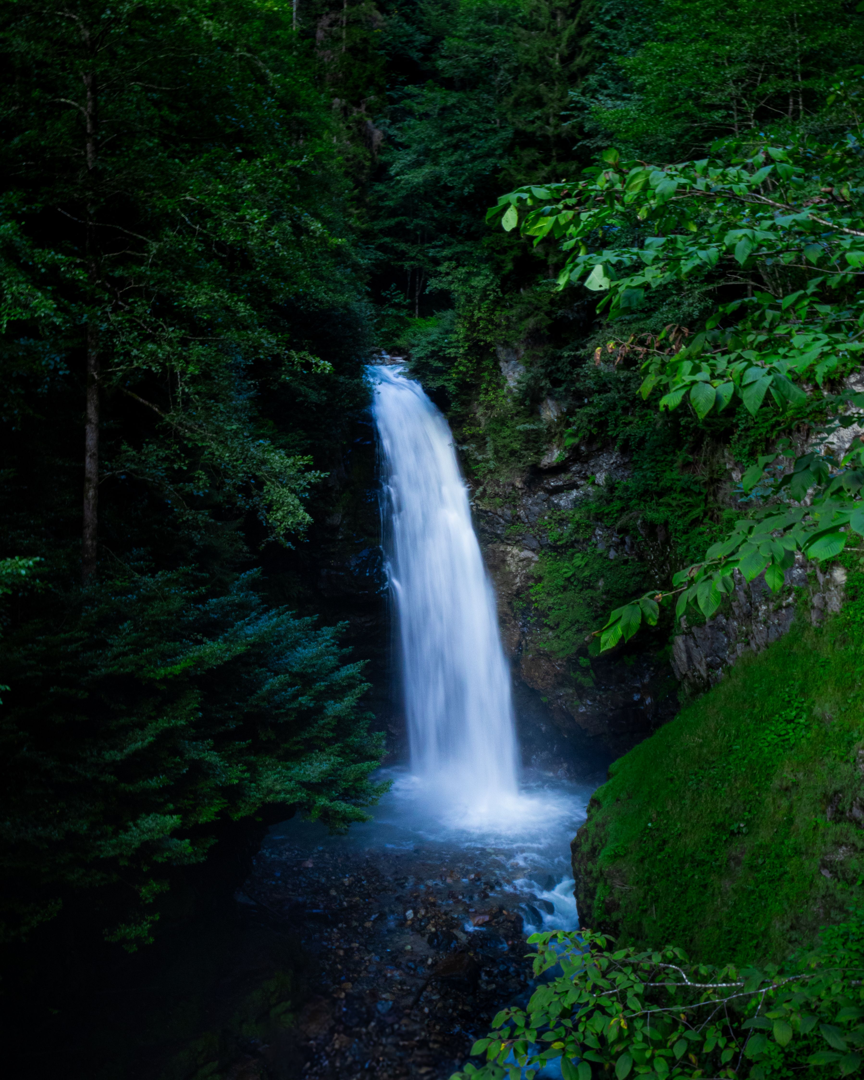
A 15-metre fall in the forest near Zil Kale, off the narrow road that climbs from Çamlıhemşin. A small wooden platform leads right to the…
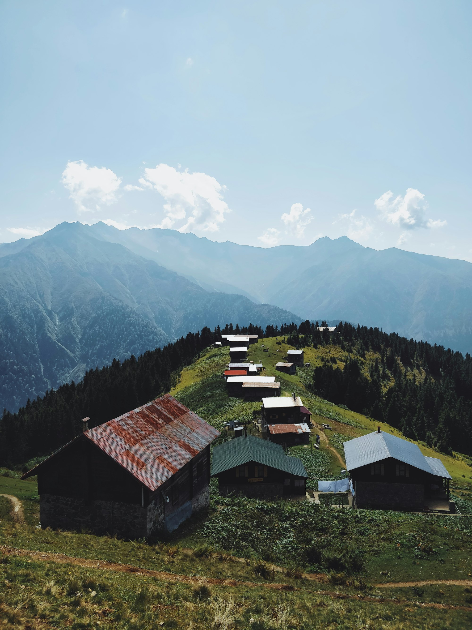
A summer pasture of old wooden houses at about 2,030 metres, the most photographed plateau in the district, and often standing clear above…
The official pages this guide was checked against.
Last updated