 Submit a photo
Ninety seconds on Applecross Bay
Yes, with the tide in, when the shallows have warmed slightly in the summer sun. At low tide it is a long paddle out to swimming depth, and the Inner Sound beyond the bay has strong currents, so swimmers keep to its sheltered parts.
When the tide is out, the sea recedes for hundreds of metres and the sand runs from Milton to the river mouth. The shoreline itself is stony, except around the estuary, where river pebbles litter the ground.
The Applecross Inn on Shore Street is the place to eat, and it is usually very busy, so tables are best booked well ahead. As of 2026 it opens from noon to 8pm Thursday to Monday, closes on Tuesdays and reopens at 3pm on Wednesdays.
Sand is a separate beach about 6 km north of the village, backed by a massive dune. Its sandy bays contrast with the more pebbly shore of Applecross Bay. An easy linear walk of 7 km links the two, with 183 m of ascent, and takes about 2 hours.
By one of only two roads. The winding coast road comes in from Shieldaig, and the Bealach na Bà pass climbs to 626 metres in under 10 km, with hairpin bends and sharp drops. Motorhomes larger than a standard VW T5 conversion are asked to take the alternative routes.
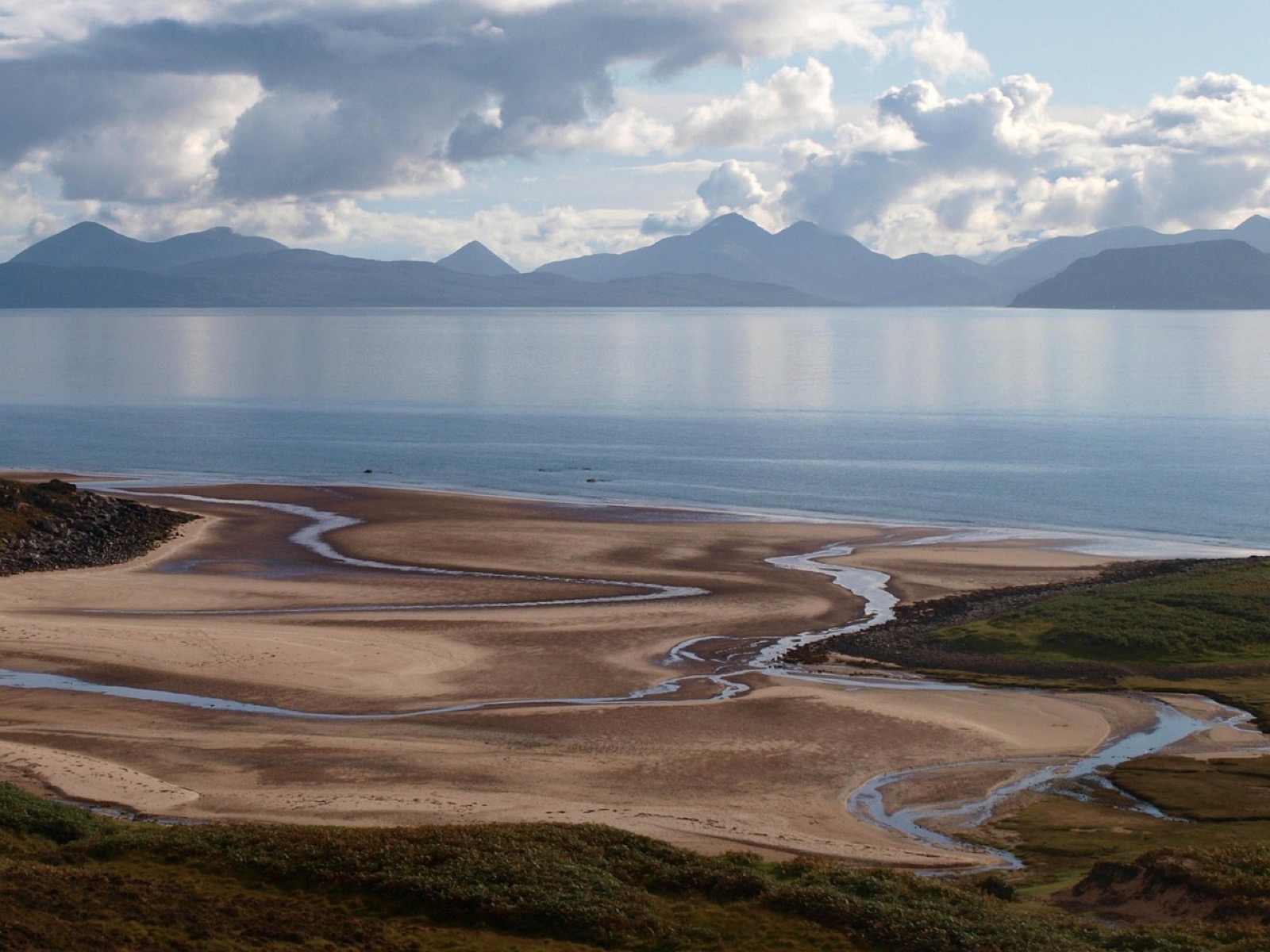
Come for the sand at low tide and the view across it: the Cuillin of Skye and Raasay straight over the Inner Sound, and on a clear evening, the sun going down over the water.
Applecross Bay is one of the largest sandy inlets in the Western Highlands, almost 4 km long and set between Loch Torridon and Loch Kishorn. Beinn a' Chlachain rises to 624 metres on its north side, and An Staonach to 516 metres on the west.
The Applecross River, known locally as the Salmon River, cuts the bay in half.
Look for a crescent of rocks out in the sand. It is a fish trap, arguably the largest on the West Coast.
The row of houses at the head of the bay, marked Applecross on some maps, is really Shore Street, known locally as The Street. St Maelrubha founded his monastery at Clachan in 673 AD, near the present church, and the peninsula has been known ever since by its Gaelic name, A' Chomraich, the Sanctuary.
At low tide, step off Shore Street onto the sand. The river splits the beach in two, so choose your side before you walk out.
North of the river, grass grows over the sand and makes a good picnic spot. On a clear day, look across the water for the Cuillin mountains on Skye, with the conical peak of Glamaig to their right.
On the south side, find the spout well by the road, and across the road from it the Holy Well. Folklore says it supplied water to a monk's cell 800 years ago.
Public toilets stand near the Applecross Inn and are free to use. The community company took them over in 2012 to keep them open, and it also runs the village filling station.
When the tide is at its lowest, you can collect razor fish and cockles for an impromptu barbecue.
When the weather closes in, go to the Applecross Heritage Centre, where the history of the area from the Mesolithic period to the present day is on display. It generally opens from April to October.
On the Bealach na Bà, the pass over the hill, stop at the parking area at the top for views across to Skye and the Outer Hebrides.
Explore the rest of Applecross
Reached over one of Scotland's steepest roads, Applecross is a row of shore houses, an inn and a scatter of crofts facing Raasay and Skye.…
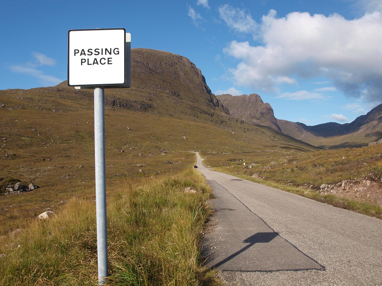
Steep hairpins climb to about 626 metres on this single-track pass from Tornapress to Applecross. Signs advise against caravans, trailers,…
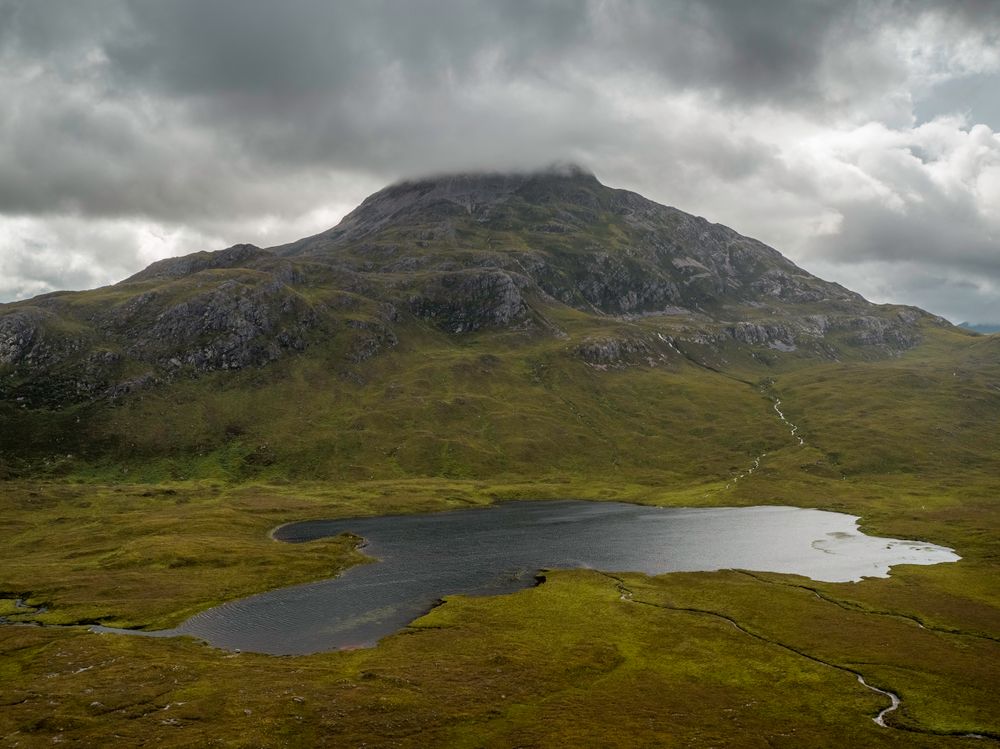
Liathach's terraces of Torridonian sandstone and the pale quartzite summits of Beinn Eighe rise above this glen. The A896 runs through it,…
Last updated