 Submit a photo
Ninety seconds on Glen Torridon
Yes. It makes a wonderful drive whatever the weather, with Liathach and Beinn Eighe close beside the road, the rich colours of the moorland, and the ancient Caledonian pines that line the slopes of Sgurr Dubh.
In places. The A896 through the glen has single-track sections with passing places, and deer and sheep are hazards on it. The road is narrow and winding, and open to wind and rain.
About 37 minutes without stops. The road through the glen runs for 27 km, and the short walks to Loch Clair or the Ling Hut add to that.
Car parks along the A896 serve the walks. For Liathach, several cars fit at the start of its path, a couple of hundred metres east of Glen Cottage, with more spaces slightly nearer the cottage.
Yes, on a well-made stalkers' path that heads north from the road into the gap between the two mountains. The route is 12 km with 480 m of ascent and takes 3.5 to 5 hours. Its central section is boggy and very rough.
Not always, but the traverse is for experienced scramblers. It involves mild scrambling, awkward bouldery ground and trickier moves on the Am Fasarinen pinnacles, whose bypass path is very exposed, and the descent from Mullach an Rathain is very steep. Walkers unsure of that ground hire a guide.
Two of Scotland's most magnificent mountains line the road through this glen, Liathach first and then Beinn Eighe. Leave the car for even a short walk in and you stand right beneath them.
Liathach, Gaelic for the hoary place, is a ridge running east to west over several peaks. It is built of Torridonian sandstone laid in massive, near-horizontal beds, and these make the terraces you can pick out from the road.
Its highest point is Spidean a' Choire Lèith, at 1,055 metres. Between it and the second Munro, Mullach an Rathain, the ridge breaks into rocky pinnacles called Am Fasarinen, the Teeth.
Beinn Eighe is the odd one out among the Torridon hills. Its summit ridge is white Cambrian quartzite, which can look like a covering of snow, and white screes pour down its steep southern slopes into the glen.
The sandstone that forms the bulk of these mountains dates back 750 million years. Some of the paler rock in the area is around 500 million years old and holds fossilised worm burrows, known as pipe rock.
On the north side of Beinn Eighe, Coire Mhic Fhearchair holds a glacial lochan under three great rock buttresses, which give it the name Triple Buttress Corrie. The eastern half of the mountain is a NatureScot national nature reserve, and the National Trust for Scotland owns the rest of the southern side.
Drive the A896 east through the glen, and Liathach rises close on your left, with Beinn Eighe after it.
For the classic view, park opposite the broad track down to Loch Clair, marked with a Right of Way sign. Five minutes down it, the loch shore looks back at both mountains.
Across the road from that parking for Loch Clair, a bridge crosses the Torridon River. From it a short, flat and often wet path leads round to the whitewashed Ling Hut, about 15 minutes away.
For a longer walk, the path into Coire Dubh Mòr starts from a car park on the A896 just west of the bridge over the Allt a' Choire Dhuibh Mhòir, signposted for Coire Mhic Nobuil. The rough track into Coire Mhic Fhearchair takes at least two hours each way.
The same A896 also leads to the Bealach na Bà, the pass road into Applecross, which leaves it at Tornapress, north of Kishorn.
On the single-track stretches, give way generously and stop only in the marked bays to take in the view. Local drivers move fast on these roads, so let them by.
Keep clear of verges, passing places and field gates when you park. If a car park is full, have a second walk in mind and move on.
Keep dogs under control or on a lead, for the sake of wildlife and livestock.
Explore the rest of Applecross
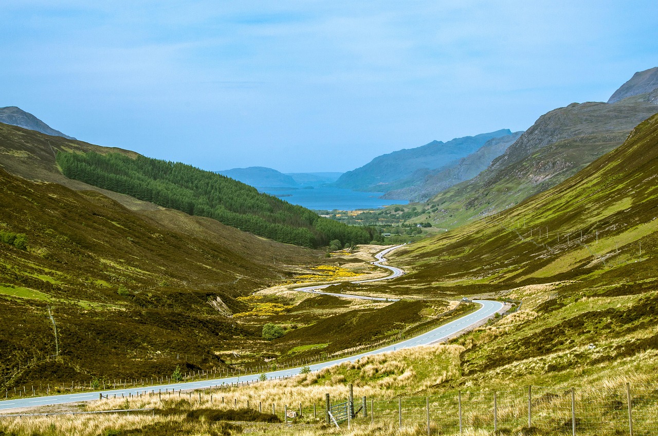
Scots pines and wooded islands crowd this freshwater loch below Slioch, which rises from the north shore in a steep wall of sandstone. The…
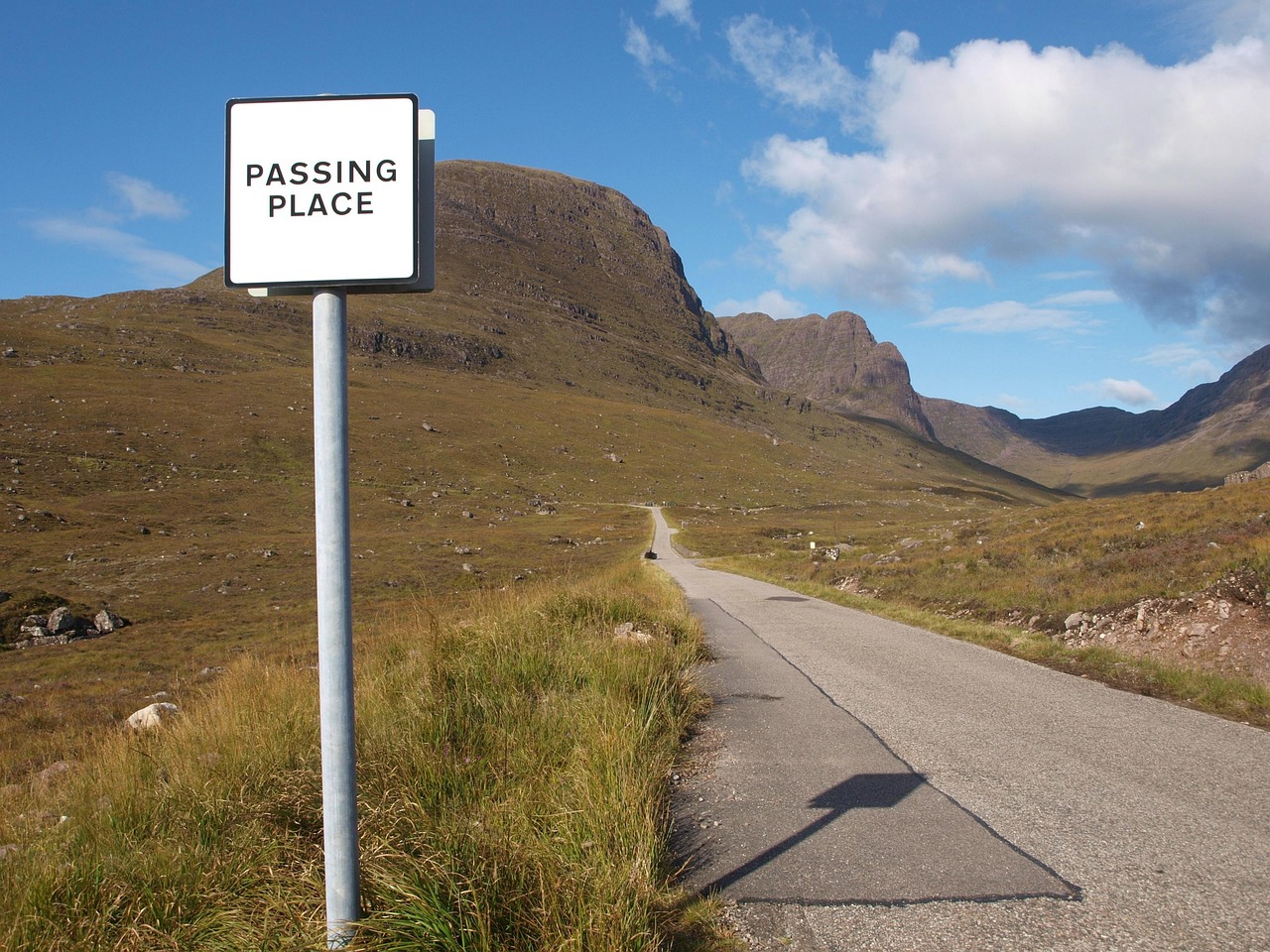
Steep hairpins climb to about 626 metres on this single-track pass from Tornapress to Applecross. Signs advise against caravans, trailers,…
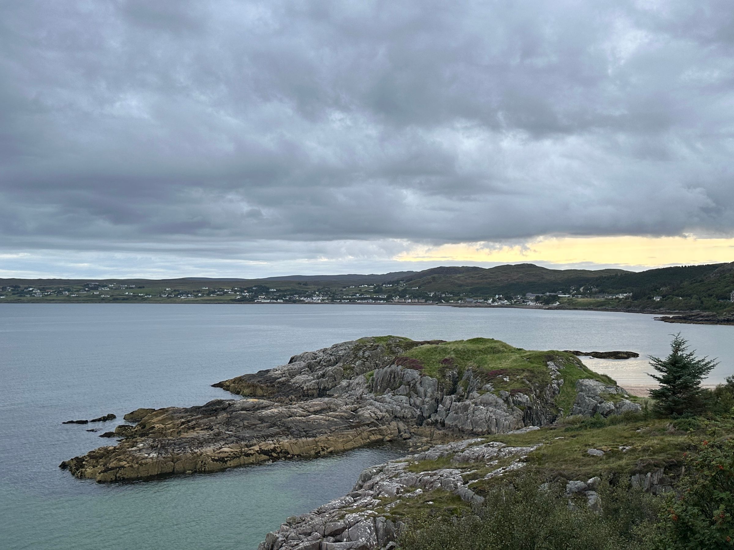
Strung along a sheltered bay in Wester Ross, Gairloch is a harbour village of beaches, boat trips and hill walks, and a natural night…
Last updated