 Submit a photo
Ninety seconds on Loch Maree
Loch Maree lies between Kinlochewe and Gairloch in Wester Ross, and the A832 runs along much of its south-western shore. Slattadale, midway along the loch, is about 1 hour 30 minutes by car from Inverness and 4 hours 30 minutes from Glasgow.
Loch Maree is 21.7 km long. The deepest of its basins, the Grudie Basin, goes down to 112 metres, and its waters, islands and shoreline are protected by several overlapping conservation designations.
Yes, but only by boat. Paddlers with their own kayak or canoe find it fairly easy to reach, and the Loch Maree Hotel can be asked about boat trips. By custom nothing is ever taken from the island, not even a pebble from the shore.
Yes. The path between Tollie and Slattadale covers 8 km with 275 m of ascent in 2.5 to 3 hours, climbing to a viewpoint across the loch to Letterewe, with Slioch filling the view down the water. Its uphill section is rougher, eroded and very wet in places, and an infrequent bus joins the two ends.
Only in a self-contained motorhome or campervan with its own toilet, which may stay overnight at the visitor centre and Coille na Glas-Leitir car parks. Vehicles over 6 metres long are not permitted.
Stop at Slattadale for the view across the loch, over wooded islands of ancient pine to Slioch, whose profile from the A832 is one of the Highlands' most photographed sights.
Loch Maree is the fourth-largest freshwater loch in Scotland, and the largest north of Loch Ness. Its islands hold pristine remnants of ancient Caledonian pinewood, genetically distinct from other Scottish pinewoods and closer to those of southern Europe.
The largest island, Eilean Sùbhainn, holds a loch with an island of its own. Twelve species of dragonfly have been recorded on the islands.
Slioch rises to 981 metres above the south-eastern end of the loch. Its name comes from the Gaelic for the spear, a shape that only shows from Lochan Fada to the north-east.
Isle Maree is believed to be the 8th-century hermitage of St Maol Rubha, the saint the loch is named after. It holds an ancient graveyard with two incised cross-slabs, a holy well and a holy tree, among stands of oak and holly found on none of the other islands.
The original wishing tree died long ago of copper poisoning. A storm has since broken what remains of it into sections, and oak saplings are coming up beneath the trees.
Begin at the south-eastern end near Kinlochewe, the main way into the nature reserve. From April to October the visitor centre there is open and free, and the woodland and mountain trails start from the Coille na Glas-Leitir car park on the loch shore.
Then drive the A832 north-west beside the water. Slattadale, about 15 km on towards Gairloch, has a separate picnic area on the shore and paths beneath the trees.
Victoria Falls, also by the A832, has a free car park with views over the loch. Its viewing platform is a couple of minutes' walk away, and a short circuit to the top of the falls takes about twenty minutes.
Plan your stops before you set off, because trees and private land hide much of the loch from the road. Coming in on the A832 through Glen Docherty, watch for the sign to a viewpoint car park before you reach the water.
The ground can be muddy around the falls and the shore paths, so wear stout boots. Pine martens live in these woods, though they are rarely seen.
The A832 carries on to Gairloch, and Rubha Reidh Lighthouse stands about 21 km beyond the town, so the two pair well on one drive west.
Gairloch, and further afield
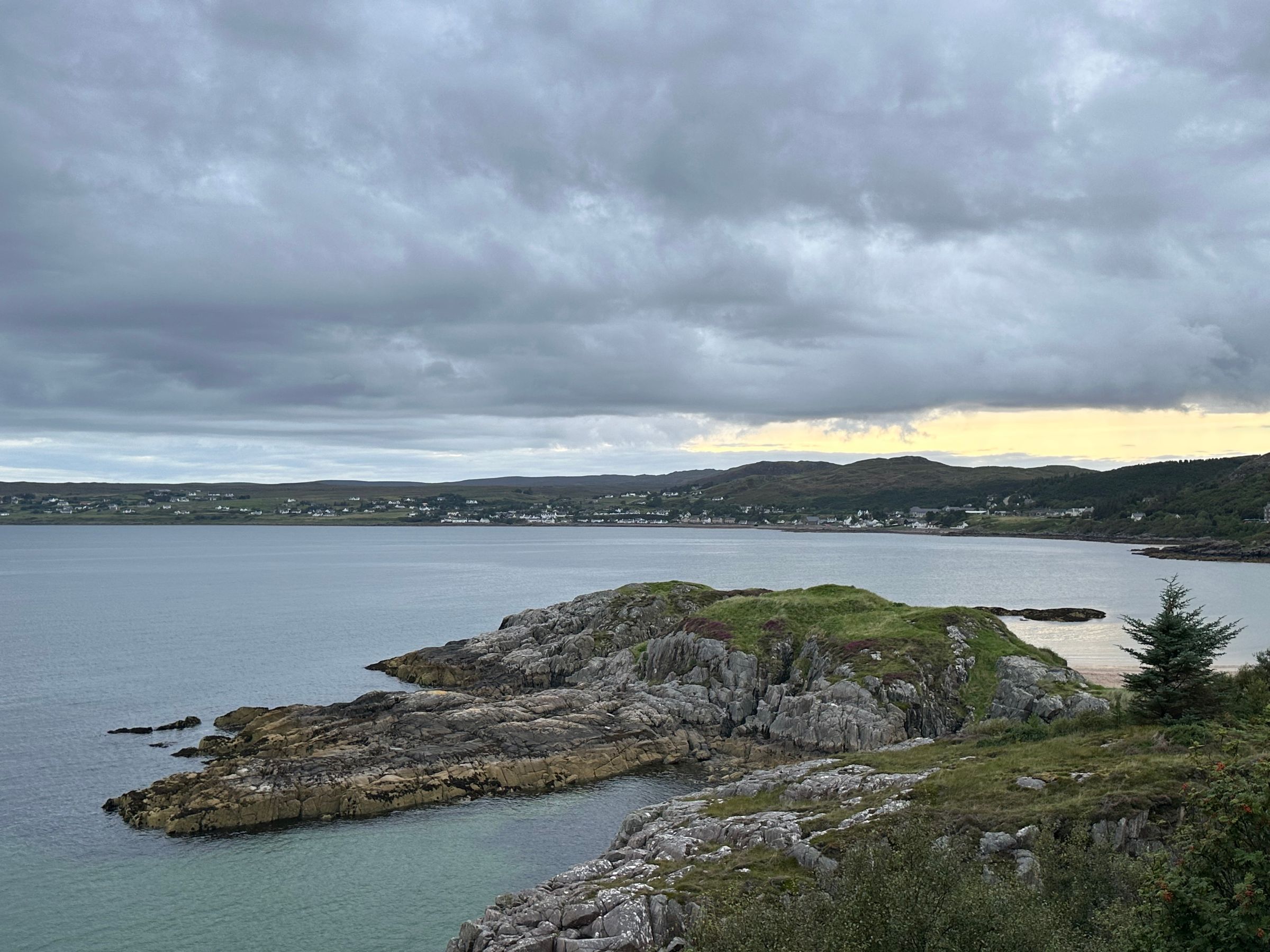
Strung along a sheltered bay in Wester Ross, Gairloch is a harbour village of beaches, boat trips and hill walks, and a natural night…
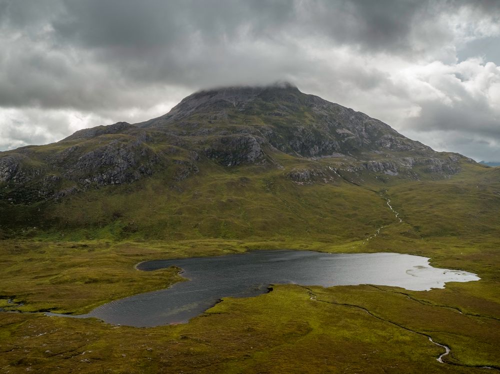
Liathach's terraces of Torridonian sandstone and the pale quartzite summits of Beinn Eighe rise above this glen. The A896 runs through it,…
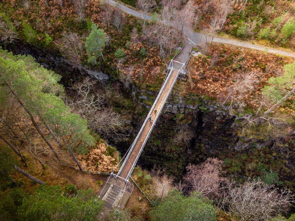
The Falls of Measach drop about 45 metres into a slot gorge on the River Droma, seen from an 1874 suspension bridge and a viewing platform…
Last updated