 Submit a photo
Ninety seconds on Castle Varrich
Not at the ruin itself. Walkers leave cars in the village car park in Tongue, which holds perhaps ten cars, and the path starts close by. Spaces are rarely hard to find, though peak season can be busier.
Under two hours, even with photo stops and time spent on the views. The round trip from the village is 2.75 km on a signed path that climbs through woodland.
Yes. A free-standing staircase now stands inside the ruin, designed so as not to interfere with the historic masonry, and it leads visitors up to the castle's upper levels for the views.
Yes. There is no entrance fee for the castle, and the ruin can be visited 24 hours a day throughout the year. Parking in Tongue is free as well.
No. The first part may be manageable, but there are steps up and down either side of the footbridge over the burn, and beyond it the path turns more rugged and steeper. Much of it is gravel with the occasional stretch of rough grass.
Walk up for the view more than the ruin. From its knoll the Kyle of Tongue runs north to the sea, with Ben Loyal to the south and Ben Hope to the west.
Castle Varrich is small, and very much a ruin. It stands on the summit of a promontory high above the sea loch, so it shows from the North Coast 500 road and looks out in every direction.
Its walls are about 1.4 metres thick, built of roughly squared blocks of metamorphosed sandstone. The tower had two storeys, with the lower one set over sloping bedrock.
There was no stair between the floors, which suggests horses or cattle were kept below. The upper floor stood on a barrel-vaulted arch under a timber roof, and its entrance on the south side was most likely reached by a ladder. The thick walls and the traces of the roof suggest a parapet wall-walk ran round the top.
The present tower is probably a 16th-century rebuilding of an earlier one, and it has been identified as a seat of the Clan Mackay of Sutherland.
Park in the centre of Tongue, opposite the Ben Loyal Hotel. Head back towards the A838, then turn left onto the footpath signed Castle Varrich, which soon runs through trees.
At the bottom of a field, go through the gate and turn left upstream to cross the Rhian Burn on a wooden footbridge. The surfaced path then swings right and zig-zags up through birch, sycamore, ash and oak, past three benches.
It comes out on a bealach, fenced on the far side, with a dramatic view down to the water. Either of two paths takes you up the short last climb to the keep.
Come back the same way. The track on OS maps that runs south past Rhian Cottage has long since become overgrown and is hard to find.
From the top there is a good chance of eagles soaring overhead, so pack binoculars. At low tide the water below drains to mudflats full of birdlife.
Use Tongue for toilets, food and supplies before you set out, because the ruin has none. Sturdy footwear helps on the steady climb.
Crossing Tongue Bridge from the west, look across the water for a fine view of the castle on its hill.
Ceannabeinne Beach lies west along the same A838, past Loch Eriboll on the way to Durness, so pair the two on the drive.
Explore the rest of Durness
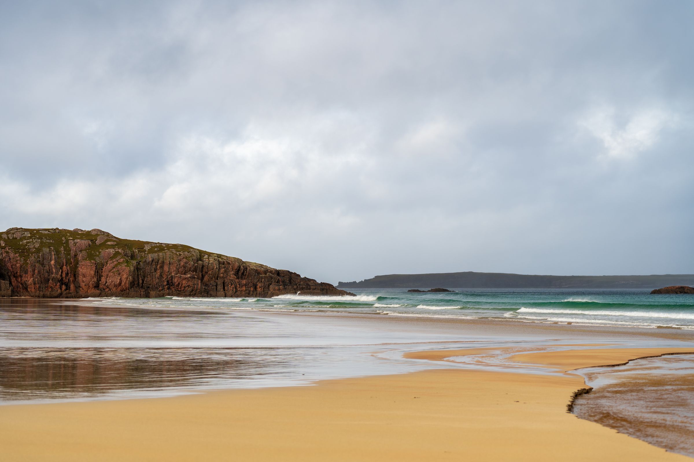
A scatter of crofts on limestone grassland above white beaches, Durness is the last village before the north-west corner of Scotland.…
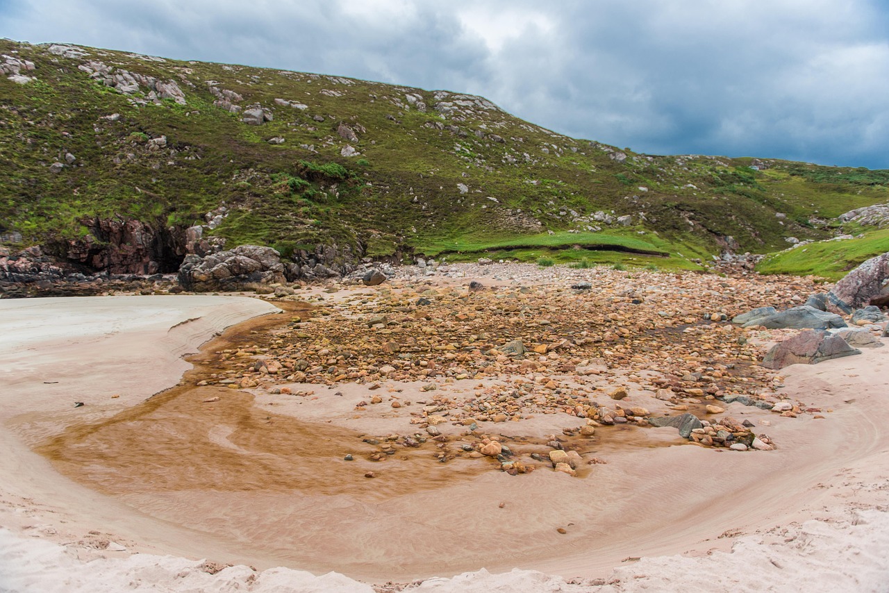
A sandy cove below the A838 about 5 km east of Durness, set between cliffs of orange and black striped gneiss and reached by steps from a…
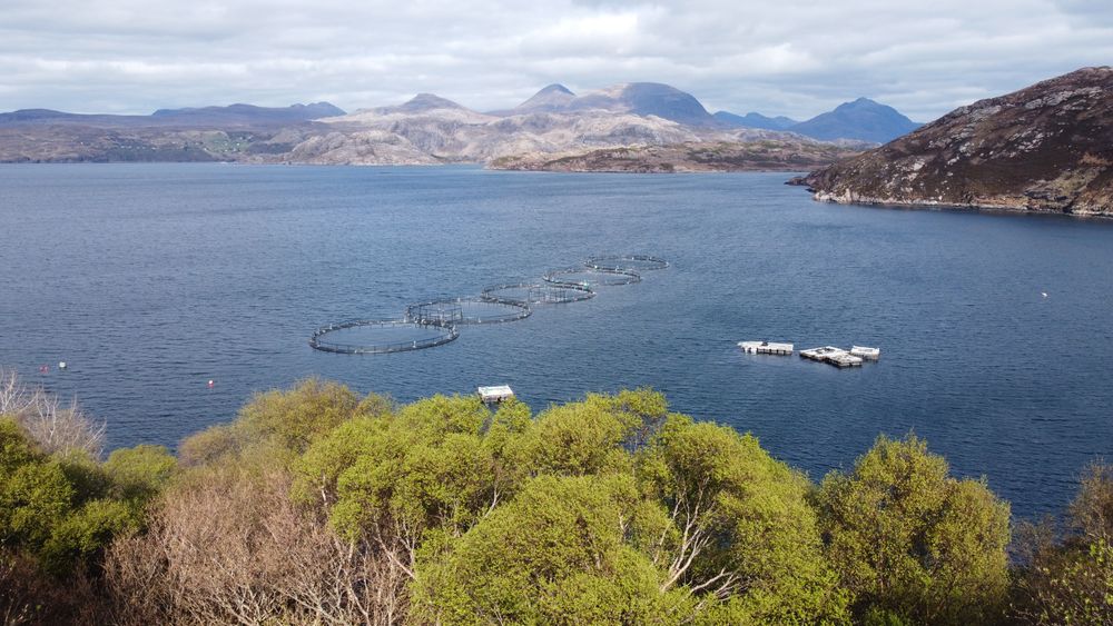
Cutting about 16 km inland east of Durness, this deep sea loch is followed along its whole shore by the single-track A838. Its sheltered…
Last updated