 Submit a photo
Ninety seconds on Clachtoll Beach
Clachtoll Beach is in Assynt, about 10 km from Lochinver along the B869. A signposted narrow road leads down to the beach through Clachtoll Beach Campsite.
Yes. Free parking sits on grass near the Assynt Ranger's information hut, and it is roomier than it first looks. Public toilets are close by, and the water is a two-minute walk on path and grass.
Yes. The bay is a beginners' snorkelling spot with plenty of marine life, and the north headland suits more confident snorkellers. Snorkellers should check the conditions on the day before going in.
Clachtoll Broch lies around 1 km north of the beach, and walking there and back takes about an hour. Parts of the way are rough and stony underfoot.
Yes, dolphins are known to visit the waters off Clachtoll. They range from small groups of large bottlenose dolphins to large groups of the smaller common dolphin.
After a swim or a snorkel, walk the coast path to Clachtoll Broch and duck under its huge triangular lintel into an Iron Age roundhouse whose walls still stand over 3 m high in places.
The name Clachtoll comes from Gaelic and refers to Split Rock, the very large broken rock in the bay, which is the remains of a natural arch. Made of Torridonian sandstone, it is one of the most recognisable shapes on this stretch of coast.
In the southern half of the bay, white sand meets turquoise water. The rocks of the headlands on either side make Clachtoll a renowned spot for geologists.
On the grassy headland between the two inlets stands a small stone salmon bothy, part of the Clachtoll Salmon Station, kept by the Assynt Historical Society. If the bothy is not locked, go in for the displays about the salmon station.
At first the broch is hard to pick out from the reddish-brown boulders on the shore. Around two thousand years ago it was home to an Iron Age farming household, until a major fire destroyed it.
Inside, walk to the left and look for bulging stonework near the base of the wall, forming a rough ledge. Above it the masonry is neater and set on a different line. Lintels still cap the cells and the chambers in the walls.
Start at the Ranger Hut and take the footpath down to the sand for a swim or a snorkel first.
If you have a second beach in mind for the day, Achmelvich Beach lies about 5 km north-west of Lochinver, a small collection of white-sand coves with Hermit's Castle on a headland.
For the broch, follow the coastal path signposted 'walkers welcome', west and then north. The broch sits high on a prominent rocky outcrop above the shore, and you return the same way.
Only try to reach Split Rock in calm weather, because getting to it is dangerous when it is wet and windy. Wear stout footwear for the coast path.
Seabirds breed here from April to September, harbour seals pup in June and July, and grey seals from August to December, so give them room.
Phone signal is patchy, and at the campsite EE is the network that gets 4G. The road in is single-track, so drive slowly and carefully.
Explore the rest of Lochinver
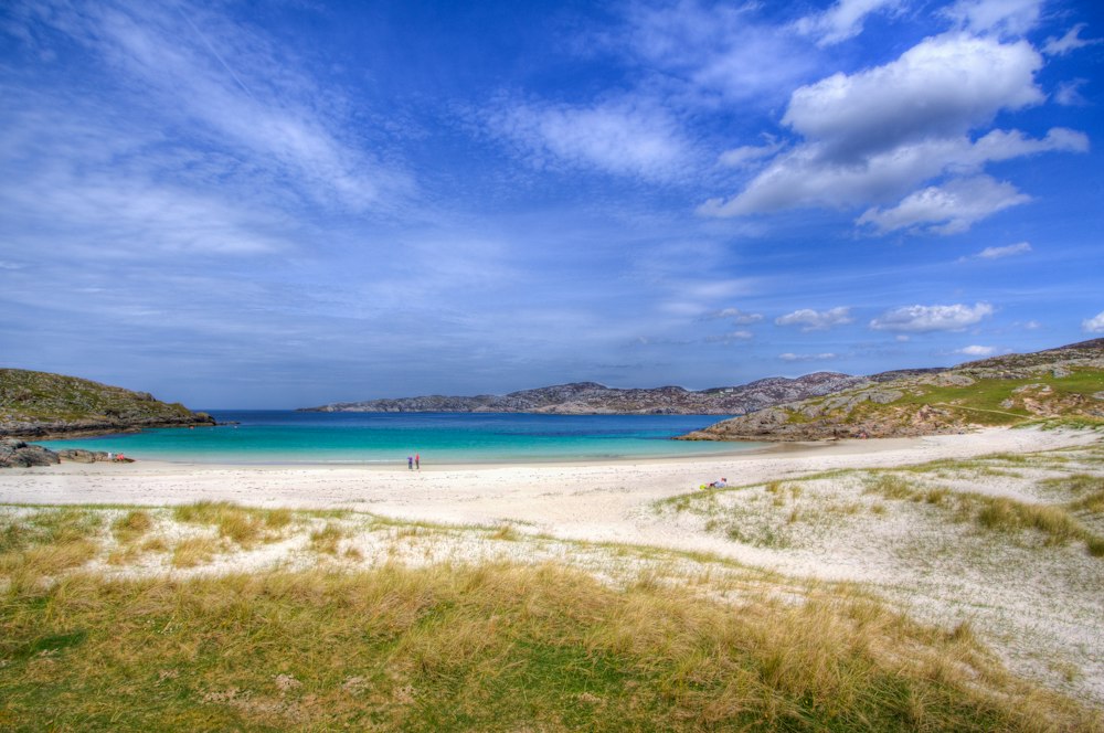
White shell sand and green water fill a small bay north of Lochinver, with gneiss headlands on either side for scrambling and rock pools.…
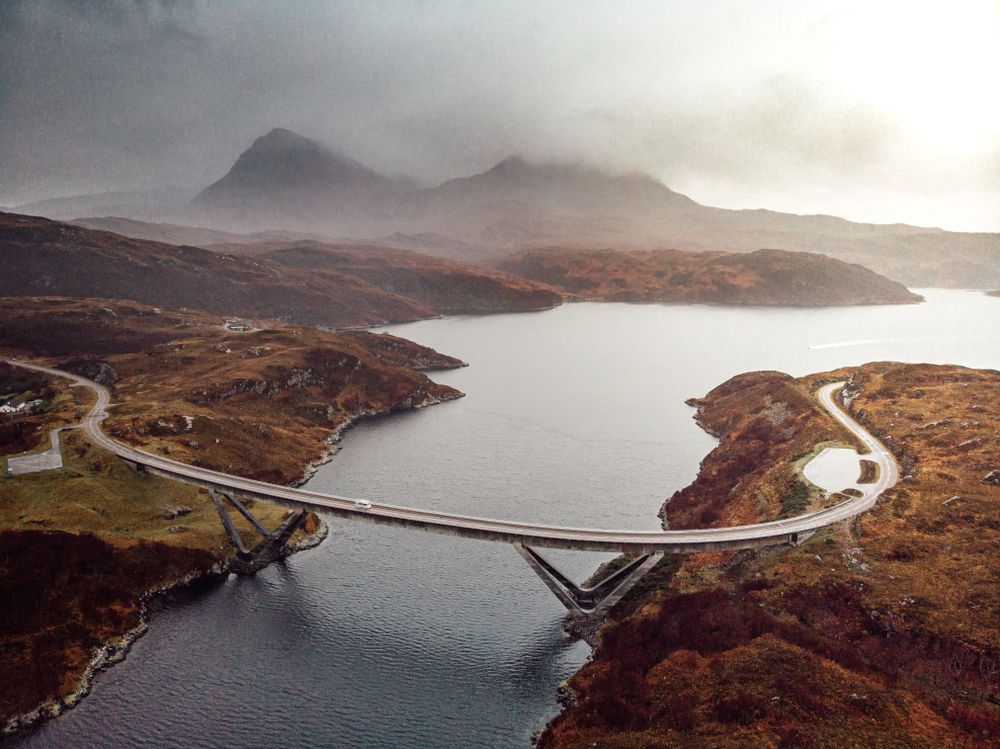
A curved concrete span carries the A894 over the narrows at Kylesku, replacing the ferry crossing in 1984 on the road north towards…
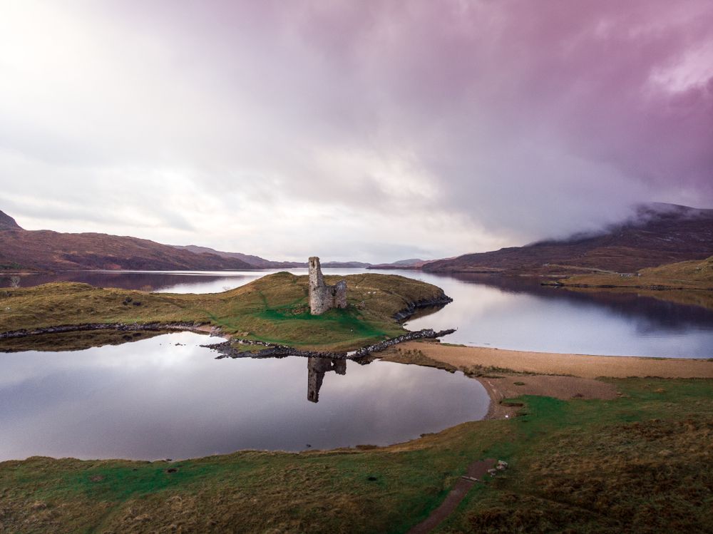
A roofless MacLeod tower stands on a rocky peninsula in Loch Assynt, joined to the shore by a narrow strip of sand and reached by a short…
Last updated