 Submit a photo
Ninety seconds on Kylesku Bridge
Yes. There are two free car parks, the northern one higher than the southern one. Drivers turning in need care, because not all traffic on the road slows down for the car parks.
Yes. The curved deck carries a footway beside the carriageway, so walkers can cross the inlet on foot from one side of the bridge to the other.
The boats leave from Kylesku harbour, just yards from the Kylesku Hotel, in the village a few hundred metres off the main road. Sailings carry adults, children and dogs.
It is Eas a' Chual Aluinn, the highest waterfall in the United Kingdom, with a sheer drop of 200 m. In full flow it is over three times higher than Niagara Falls.
It sits on the stretch between Ullapool and Scourie, carrying the A894 over the inlet. Kylesku is roughly halfway between Ullapool and Durness, and the bridge links it with the village of Unapool.
Stop at the bridge for its curve against the hills, then book a boat from the harbour in Kylesku village for seals, eagles and a waterfall that is hard to reach by land.
The bridge is a curved concrete box girder on two pairs of V-shaped piers, crossing the deep sea inlet of An Caolas Cumhang. Its central span of 132 m sits between two shorter side spans.
The piers splay outwards at the base and lean in to meet the deck, which leaves boats a steady clearance along its length.
The curve follows the natural contours of the land and the line of the existing roads, an unusual choice in a period when bridges were expected to be straight.
Before the bridge, crossing meant a ferry that ran only in daylight, which is very short here in winter, or a long detour by inland roads.
Look across Loch Glencoul for the main thrust line in the hillside. There the bedrock was broken up, and slabs of it were pushed westwards over the top of a quartzite layer. That same bedrock forms the steep cliffs that Eas a' Chual Aluinn falls over.
At the north end, a memorial cairn honours the XIIth Submarine Flotilla, whose miniature submarines trained in these waters during the Second World War.
Two car parks serve the bridge, one at each end. Start at the northern one, which sits higher and shows how the bridge fits into the wider scenery, with views across the loch towards Quinag.
For the whole curve from above, climb the small hill beside it. Two unofficial trails also drop over its lip to the loch edge.
Then go to the lower car park on the south side, where you look up at the underside of the deck and see how the bridge was put together.
Finish with the short detour into Kylesku village, which the main road now bypasses, for the hotel and the harbour.
A food truck is often parked at the north car park, handy if you stop around lunchtime.
Bring warm waterproof clothing for the boat, and a camera or binoculars for the wildlife.
On the same North Coast 500 drive, stop at Achmelvich Beach, which sits beside a sheltered white-sand bay.
Explore the rest of Lochinver
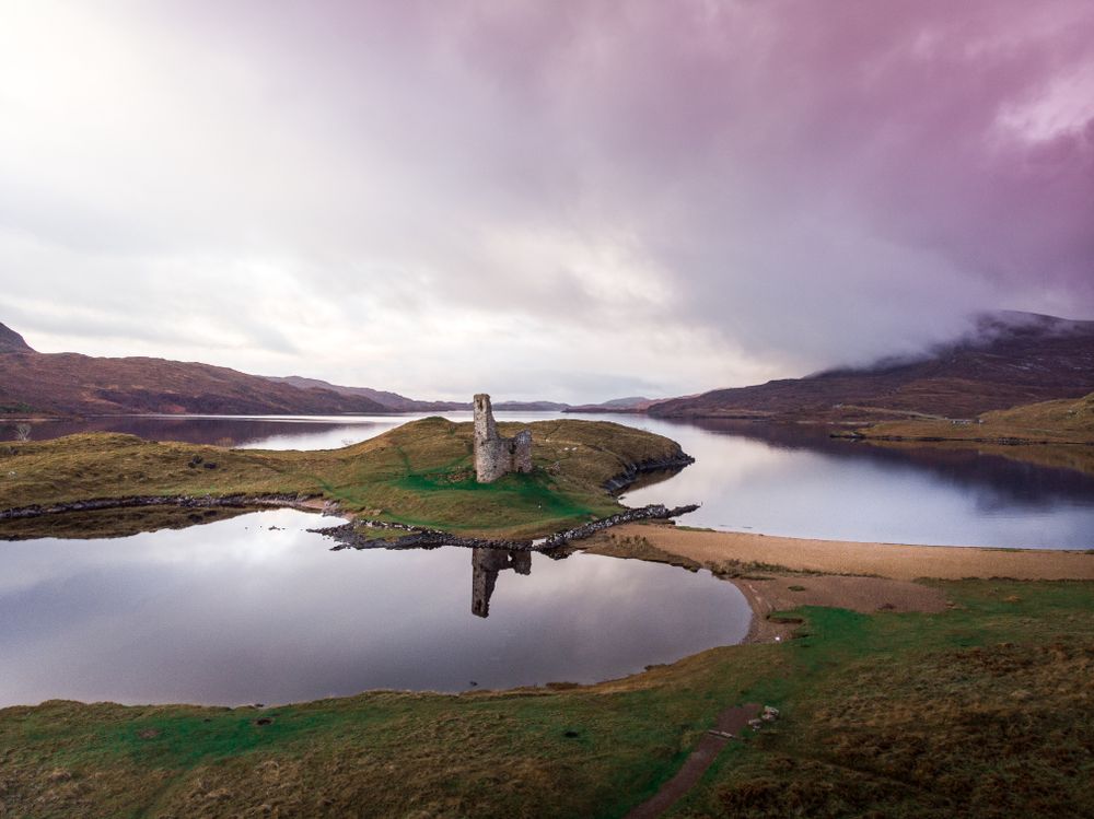
A roofless MacLeod tower stands on a rocky peninsula in Loch Assynt, joined to the shore by a narrow strip of sand and reached by a short…
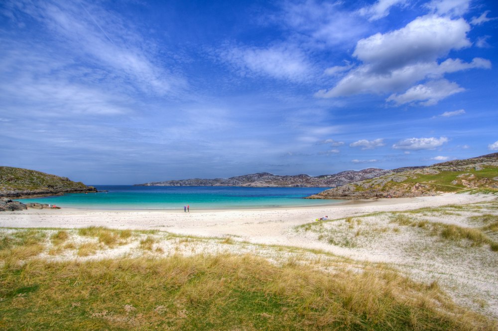
White shell sand and green water fill a small bay north of Lochinver, with gneiss headlands on either side for scrambling and rock pools.…
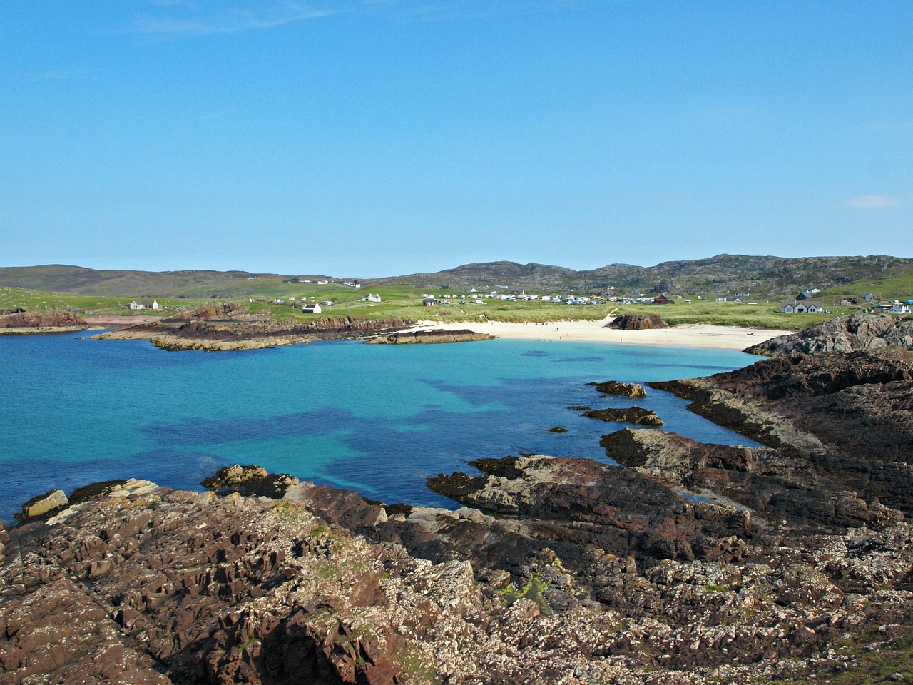
A small white-sand beach with a headland on either side, about 10 km from Lochinver on the B869, with the split rock that gives Clachtoll…
Last updated