 Submit a photo
Ninety seconds on Hallstätter See
Take the boat at least once, even if you arrive by car. The crossing from the railway station on the far bank gives you the classic view of the village. Bring cash: the ferry takes nothing else.
Swimming is the point in summer. Three places are set up for it: the bathing island at the north end of the village, the recreation ground near Obertraun and the lido across at Bad Goisern.
Rowing boats, pedal boats and electric launches go out from the promenade. A path follows the east shore, with places to get in on the way.
The boat to the railway station is the everyday crossing. A longer sightseeing run south past Obertraun sails in summer.
Explore the rest of Hallstatt
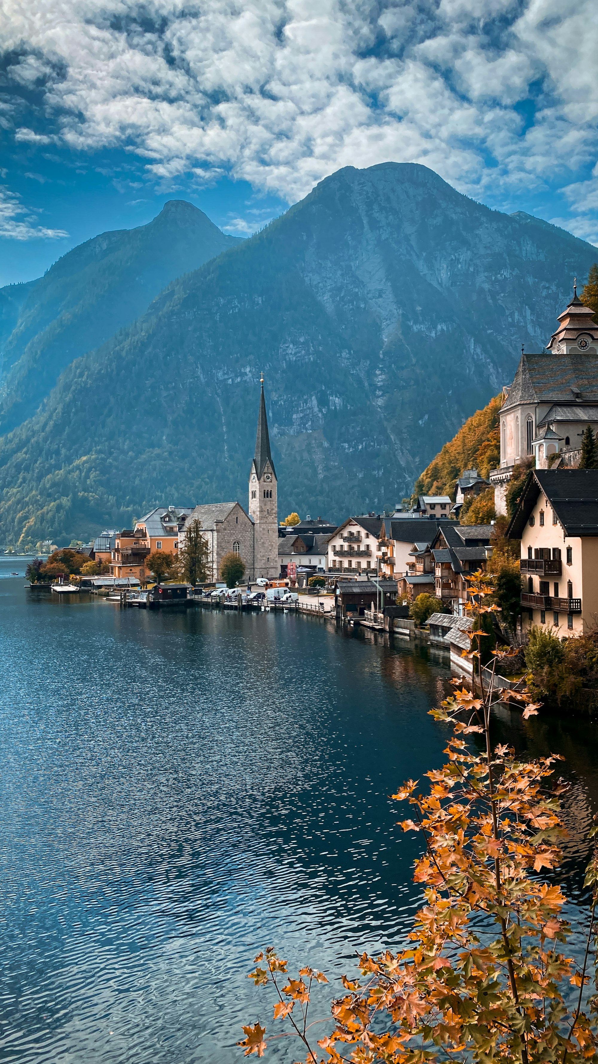
Salt has been cut out of the mountain above this shore for some seven thousand years, in a mine billed as the oldest in the world, and the…
A late Gothic church finished about 1505 on a terrace above the roofs, reached by stone steps, keeping a twelfth century tower and a carved…
The prehistoric cemetery in the high valley above the village, where some thirteen hundred graves have been excavated since 1846, enough to…
The mine above the village, entered by funicular and then a tunnel, with wooden miners' slides between levels and a subterranean lake.…
Three stages from the valley floor at Obertraun to the plateau, the first opened in 1951 and the other two within the following decade,…
A limestone plateau at just over two thousand metres above Obertraun, reached by the second and third stages of the same cable car. A steel…
Ice caves high inside the Dachstein, where meltwater refreezes into sheets and towers that grow and shrink from year to year. A cable car…
Two lakes in a side valley west of the village, the lower one ringed by a level path of about an hour with the Dachstein glacier standing…
Last updated