Globe Countries Cities Dispatches About Get the App
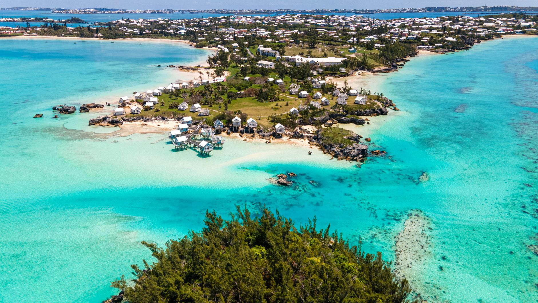
Aerial view of the shallow water at the east end of Bermuda, turquoise sea around a low green islet with pale houses along the shore
The east end from the air · the reef platform runs about a thousand square kilometres around the islands
Country brief · 32.2949°N 64.7860°W

Bermuda

Everyone books it as the Caribbean. It sits level with South Carolina, a thousand kilometres out in the open Atlantic.

How long
Four days, a week at mostthe island is about 21 miles end to end and nothing on it is more than an hour away
Getting around
Bus, ferry, scootervisitors may not drive a car here at all; the one exception is a two seat electric minicar, allowed since 2017
When
May to October for the waterthe sea runs about 26 to 29°C in late summer and 18 to 20°C in winter; hurricane season is June to November
Language
English, and only Englisha Portuguese speaking community has been part of the island since 1849
Money
The Bermudian dollar, pegged 1:1 to the USAmerican money is taken everywhere, and Bermudian notes are little use once you leave
Airports
Bermuda BDAL.F. Wade International, the only one, about 25 minutes from Hamilton

Why you should visit

Ninety seconds on the country

Bermuda is the top of a sunken volcano wearing about sixty metres of limestone, and the reef around it is the most northerly of its kind anywhere. The Gulf Stream is the reason it exists at 32 degrees north, and the reef is the reason the water is that colour and the sand carries pink.

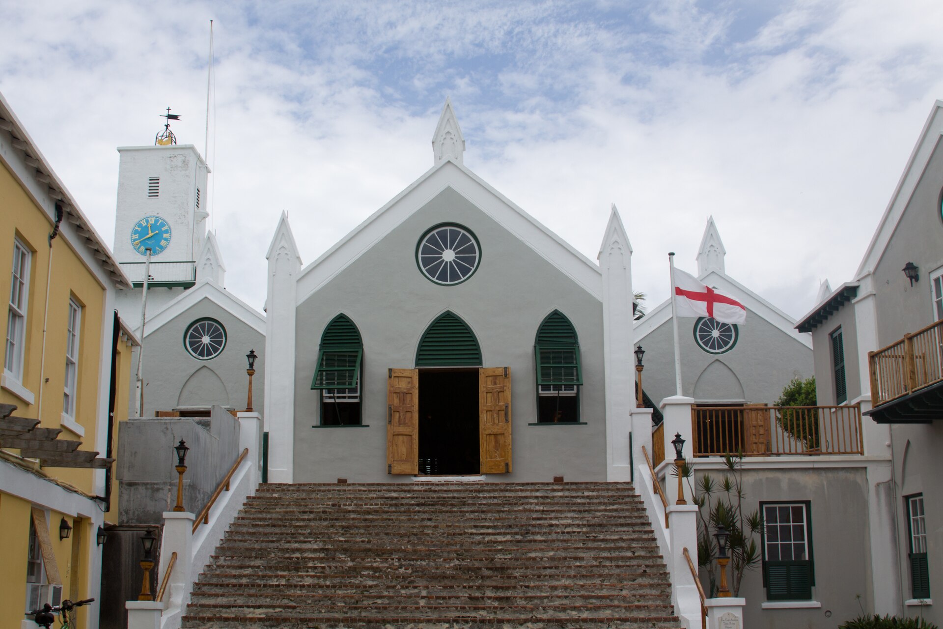
It is also the oldest continuously inhabited English settlement in the New World. St George’s has been lived in since 1612, which makes it older than any surviving town in the United States or Canada, and it is a UNESCO site because nobody ever got round to modernising it.

Those two things sit about twenty miles apart. A beach island with a seventeenth century town at one end and a Royal Navy dockyard at the other is an unusual combination, and the whole of it fits inside an hour on a bus.

Plan around the transport rather than the map. No visitor may drive a car, so a day is built out of buses, ferries, a scooter or a taxi, and short distances take longer than they look. There is also no fresh water: every roof on the island is a catchment, which is why they are all white and all stepped.

Five Ways to Travel It

Pick how you want to travel. The parishes, the things to do and the map all change with it.

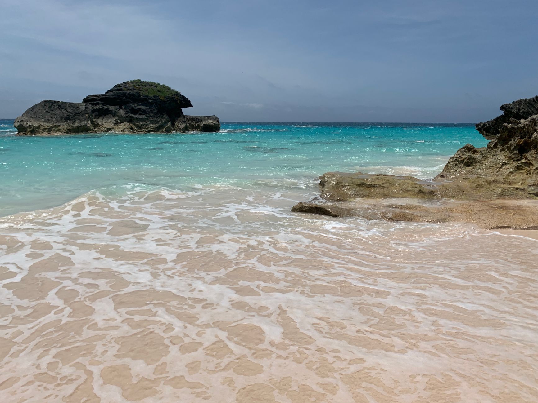
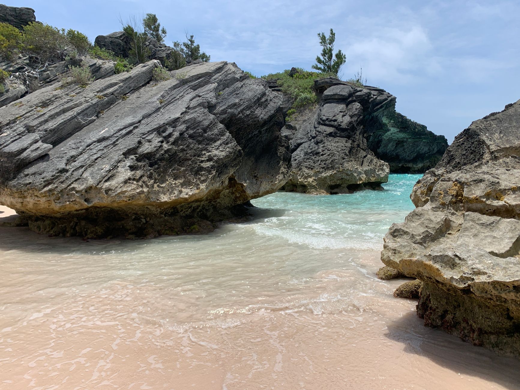
A sheltered Bermudian cove with pale sand, flat clear turquoise water and a dark limestone rock standing offshore
A sheltered cove on the south shore. The rock across the entrance is what holds the water flat inside it.

Coast

This is what the island is for, and the corpus agrees: 18 places across 9 parishes. The south shore carries the pink sand and the surf; the north shore and the sounds carry the flat water, and the two are ten minutes apart.

The south shore beaches are strung along one dune path rather than scattered, so a day there is a walk with swimming in it. The foreshore is public throughout the island, which is why no hotel owns a stretch of sand and the path never meets a gate.

Plan the trip

Loading the map
All 12 parishes and villages on record →
Meridian Dispatch for iPhone

Start planning your trip
to Bermuda.

The places on this page are in the app, each with a verdict: why to go, how far from your hotel, how long to stay. Forward your confirmations and the days fill themselves in.