Globe Countries Cities Dispatches World's Best Events Get the App
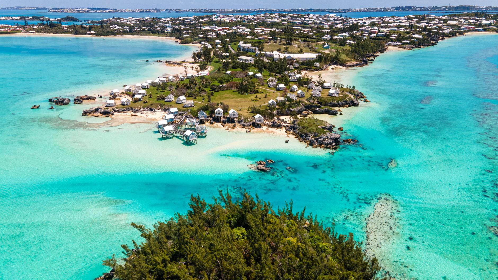
Aerial view of a Bermudian coastline, turquoise shallow water around a low green peninsula with pale houses along the shore
Brandon Morrison

Come in November to See the Cahow, Bermuda's Bird Back From Extinction

Written by Meridian Dispatch  ·  21 August 2026

The rarest seabird in the North Atlantic nests on an island you cannot land on, except on a few November afternoons. Here is how to get on that boat, and what to do on the east end if you miss it.


If you want to see the rarest seabird in the North Atlantic, come to Bermuda in November and look for the boat before you book the flight. On a couple of Saturdays that month, in the years it runs, a small party lands on Nonsuch Island, walks it with the government's cahow warden, then goes offshore at dusk to watch the birds come in off the sea.

The cahow is a gadfly petrel about the size of a small gull, named by Bermudians for its wailing night cry, the sound that made Spanish sailors call Bermuda the Isle of Devils. It was thought extinct for three hundred years until a handful of nests turned up on bare rock in Castle Harbour in 1951. There are now about 165 breeding pairs, and the colonies on Nonsuch are the second largest.
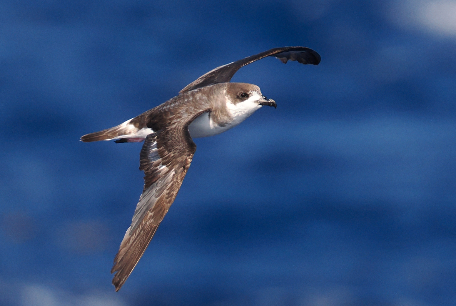
A Bermuda petrel in flight low over deep blue open ocean, dark grey-brown above with a dark cap and white underparts, wings held stiff
A cahow over open water. The species feeds far out in the Atlantic and comes ashore only in the dark, to burrows it returns to year after year.steve b

November is the month because it is courtship. The birds are back from months on the open ocean, pairs are reclaiming their burrows, and late in the afternoon they fly display loops low over the water before going to ground after dark.

Outside it, the timing works against you. From January to February the birds are incubating and nobody lands, and from about mid June to late October there is not a cahow on the island at all.

The boat, the Endurance, leaves from the dock at the aquarium in Flatts around midday and comes back at sunset. On Nonsuch you scrub your shoes on bleach-soaked mats before you climb the stair cut into the cliff, and the walk takes in the replanted forest and the artificial burrows the colony was rebuilt from.

The dates are set each autumn by the Bermuda Audubon Society and the aquarium, and places are few, so start looking in September and book the day they appear. The boat is small and the harbour mouth can be rough after a storm: bring a waterproof layer, binoculars, and whatever you take for seasickness.
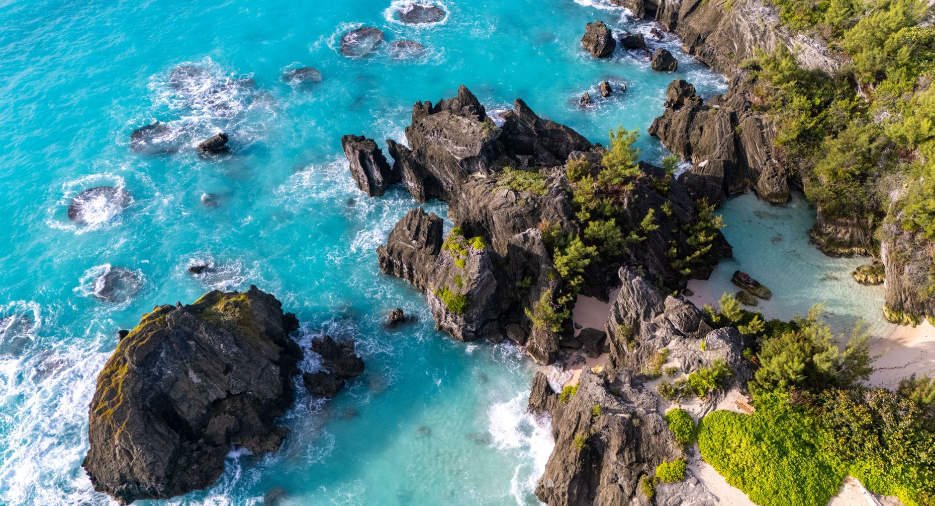
Aerial view of bare dark rock formations standing in bright turquoise shallow water off a Bermudian shore
Rock in the shallows off Bermuda. The last cahows were found nesting in crevices on low islets like these in Castle Harbour.Brandon Morrison

If November does not fit, you cannot land. Nonsuch is closed to the public, landing without permission is an offence, and boats may not tie up at its dock. To ask about a visit out of season, write to the Department of Environment and Natural Resources at terrestrialconservation@gov.bm.

What anyone can do, any day of the season, is watch the CahowCam, a live camera inside a Nonsuch burrow. Watch it the evening before you go east: in February and March it shows a single chick, a ball of grey down, waiting in the dark for a parent to come in off the sea.
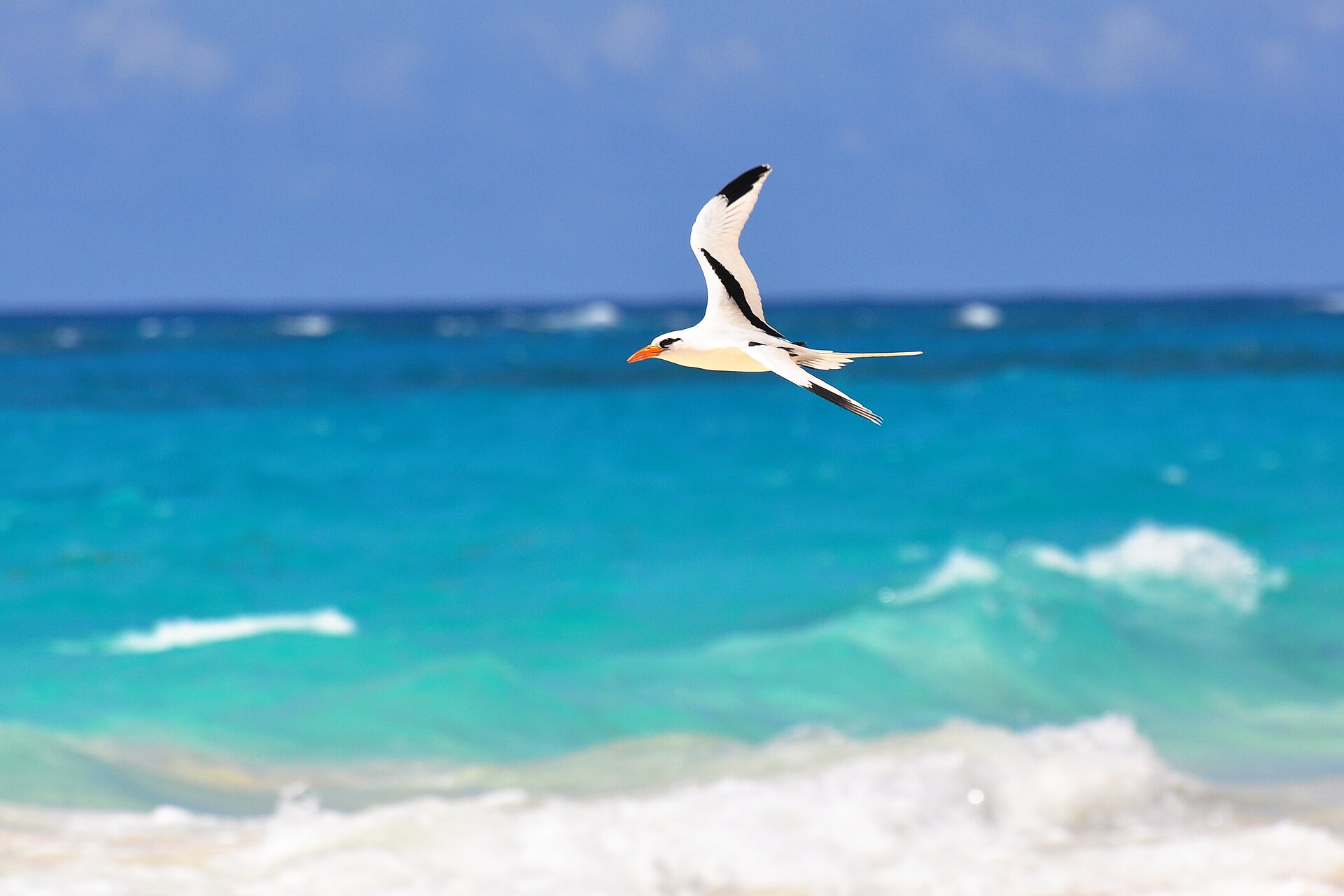
A white-tailed tropicbird flying low over breaking turquoise surf, its two long white tail streamers trailing behind it
A longtail over the south shore. They nest in the cliffs at Cooper's Island from spring.kansasphoto
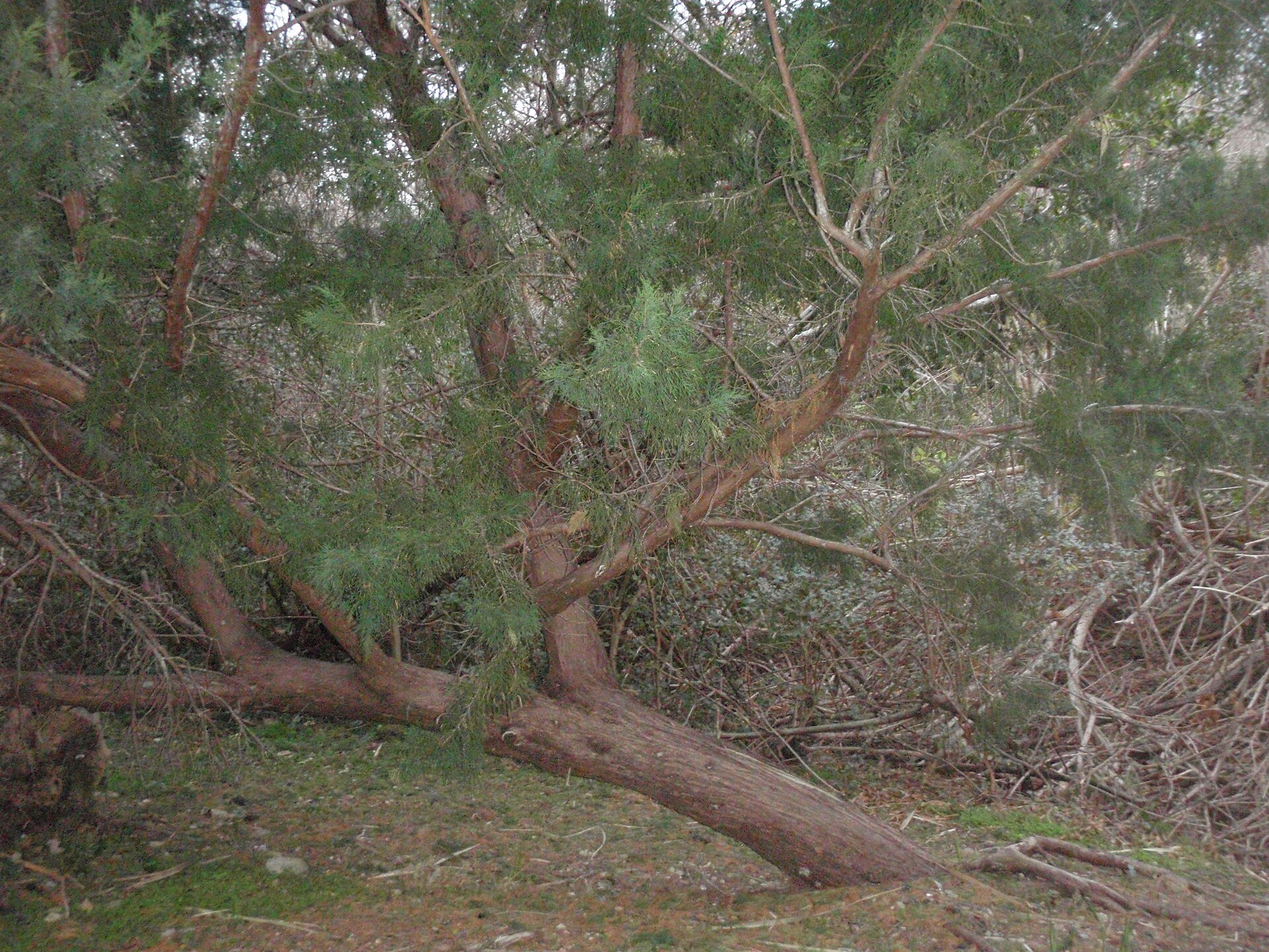
A low spreading Bermuda cedar with a reddish trunk and dense green foliage growing over rough coastal ground
Bermuda cedar, replanted across Nonsuch. The November walk goes through it.Turini

For the day itself, go to Cooper's Island Nature Reserve at the south-eastern tip of St David's, which looks straight across the water at the cahow islets. Park outside and walk in; every beach is under fifteen minutes on foot.

Climb the spiral stair of the old radar tower, now a viewing platform, for the whole of Castle Harbour laid out below, and take the binoculars up with you. Longtails nest in the cliffs from spring and sea turtles sometimes come into the shallows.

Well Bay is the beach you may have to yourself. Turtle Bay has shallow water and a lifeguard in season, and Clearwater, just outside the reserve, has the beach bar, the kayak hire and the planes coming in low over the airport. There is nothing to buy inside the reserve, so bring water and food, and come early or late to miss the midday heat.
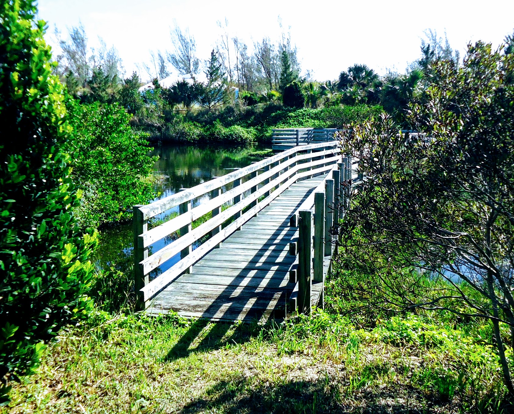

A wooden boardwalk with a handrail running through dense green coastal vegetation under a bright sky
The boardwalk at Cooper's Island Nature Reserve, open every day, a short way across the water from the island that is not.Tomwsulcer

Boats may anchor off the north side of Nonsuch to snorkel the reefs there, though not to fish and not to land. It is the closest you will get to the island without a place on the November boat.

Give the east end one day: the reserve in the morning, Clearwater for lunch, and the CahowCam that night. If you are here in November, give it the boat instead.
← All dispatches
Places on record

Every place in this dispatch

  1. Island
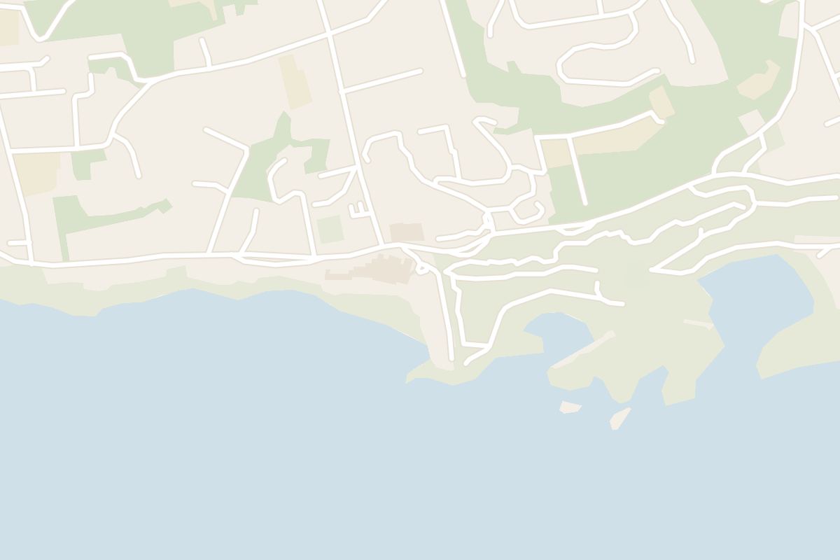
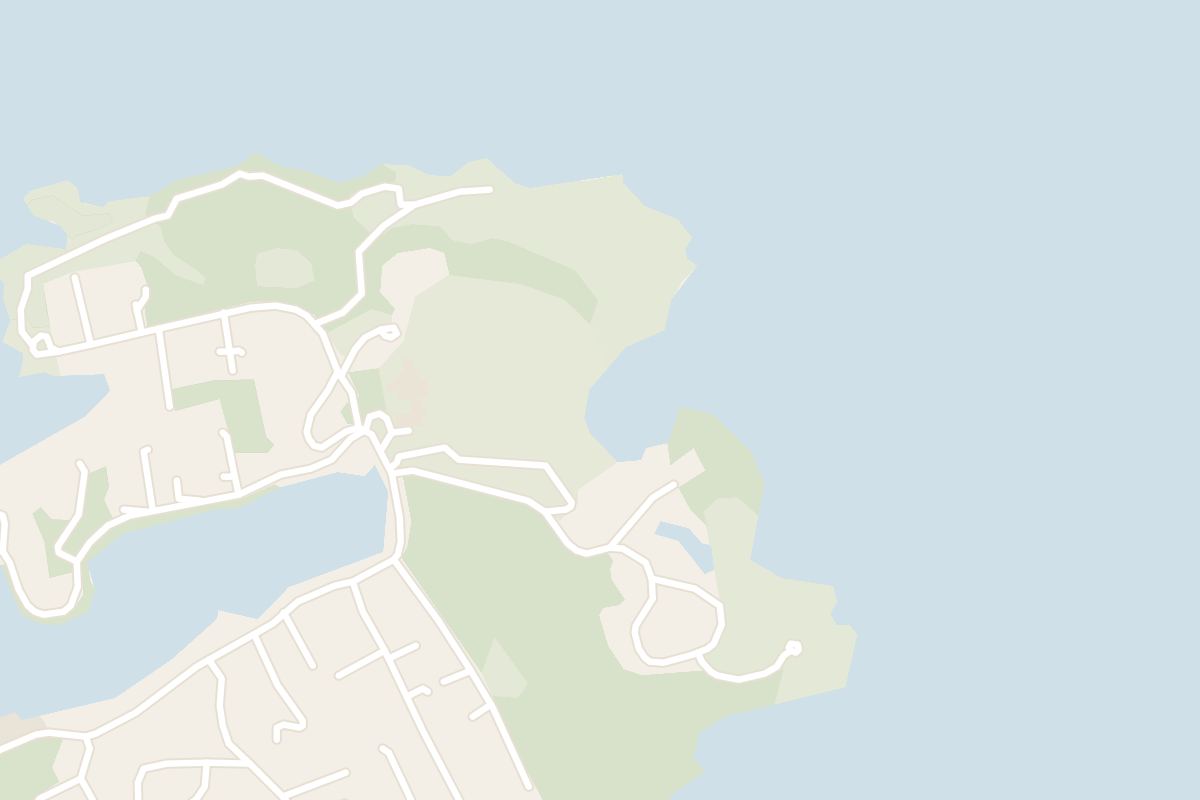
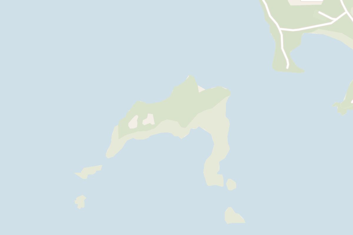
    Map of Nonsuch Island
    Island · St. David's

    Nonsuch Island

    Booking a Zoological Society sailing is the only way to land on Nonsuch. If none is running, see the island from the Cooper's Island tower.

  2. Park
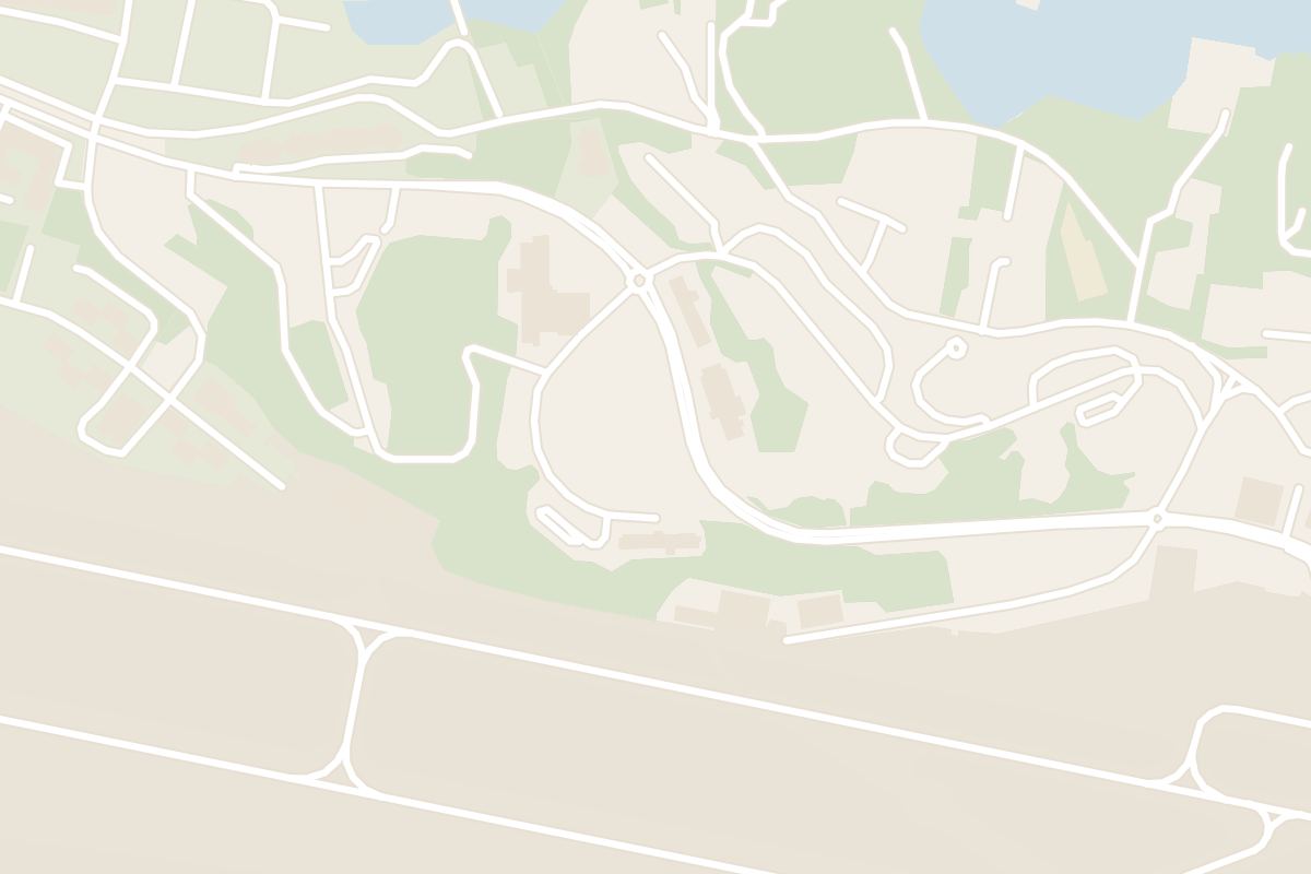
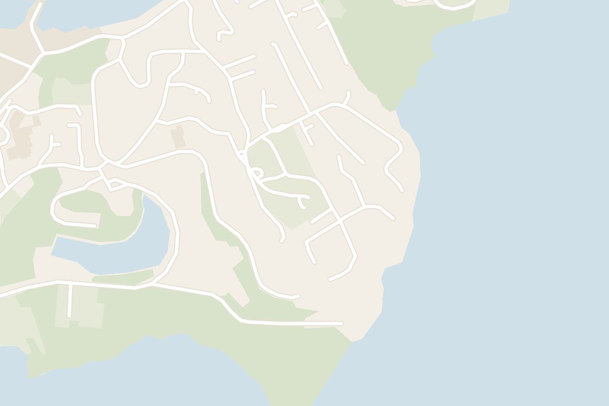
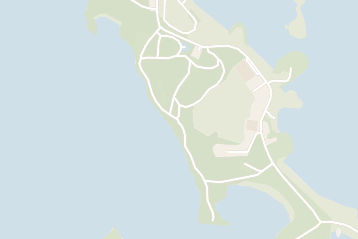
    Map of Cooper's Island Nature Reserve
    Park · St. David's

    Cooper's Island Nature Reserve

    A short walk past the last car park leaves the Clearwater crowd behind: Well Bay is often empty, and the tower top is a spring lookout for humpbacks. Carry in your own water and food.

  3. Hotel
    Map of The Reefs
    Hotel · Southampton

    The Reefs

    Staying here means dinner on the sand at a hotel small enough to feel private. The catch is stairs: the pool, the beach and Coconuts are all down the cliff below the rooms.

  4. Museum
    Map of Carter House
    Museum · St. David's

    Carter House

    Come to see real ambergris up close, palmetto hats made by hand, and the view from the front steps across Castle Harbour to its first stone forts.

  5. Ruins
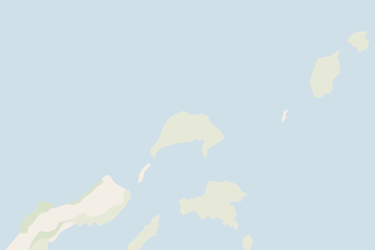
    Map of Castle Islands Fortifications
    Ruins · St. David's

    Castle Islands Fortifications

    You see these forts from the water. They stand on islands in a nature reserve with no path, so take a charter boat from Grotto Bay or look across from the steps of Carter House.

  6. Beach
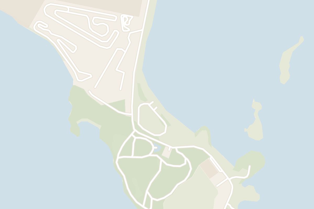
    Map of Clearwater Beach
    Beach · St. David's

    Clearwater Beach

    Quieter than the South Shore on a cruise-ship day and calmer on any day, this beach also has showers and changing rooms on hand.

  7. Viewpoint
    Map of St. David's Head
    Viewpoint · St. David's

    St. David's Head

    Wear proper shoes for this walk: the ground is hilly and poison ivy grows beside the paths. The reward is the largest guns ever mounted in Bermuda, on a cliff top looking over St. George's and Castle Harbour.

  8. Tower
    Map of St. David's Lighthouse
    Tower · St. David's

    St. David's Lighthouse

    Until the tower reopens, see this lighthouse from the road on your way to Clearwater. It has been closed to visitors as unsafe for years, and restoration has not yet started.

Explore

More of Bermuda

Country

Bermuda

Every Bermuda dispatch, city and place, on one map.

Town guide

St David's

Cooper's Island, the lighthouse, Clearwater Beach and every other place on record at Bermuda's eastern end.

Dispatch

St George's

Bermuda's oldest town on foot, with the calmest snorkelling on the island over the hill.

Meridian Dispatch for iPhone

Plan the trip.
Keep the journal.

Every other travel app asks you to start logging. Meridian Dispatch opens with years of your travel already written, from the photographs you already took.